

Winter Road Trips: 7 US Routes That Are Better in the Cold
Not winter-tolerant — winter-optimized. Lower prices, zero crowds, and landscapes that only exist when it is cold.
Winter road trips are underrated because most travelers default to summer. But several US destinations are categorically better when it is cold: lower hotel prices, zero crowds at trailheads, unique wildlife that only appears in winter, and landscapes — snow-dusted red rocks, rain-forest moss at peak saturation, desert starfields — that simply do not exist in July. These 7 routes are not winter-tolerant. They are winter-optimized.
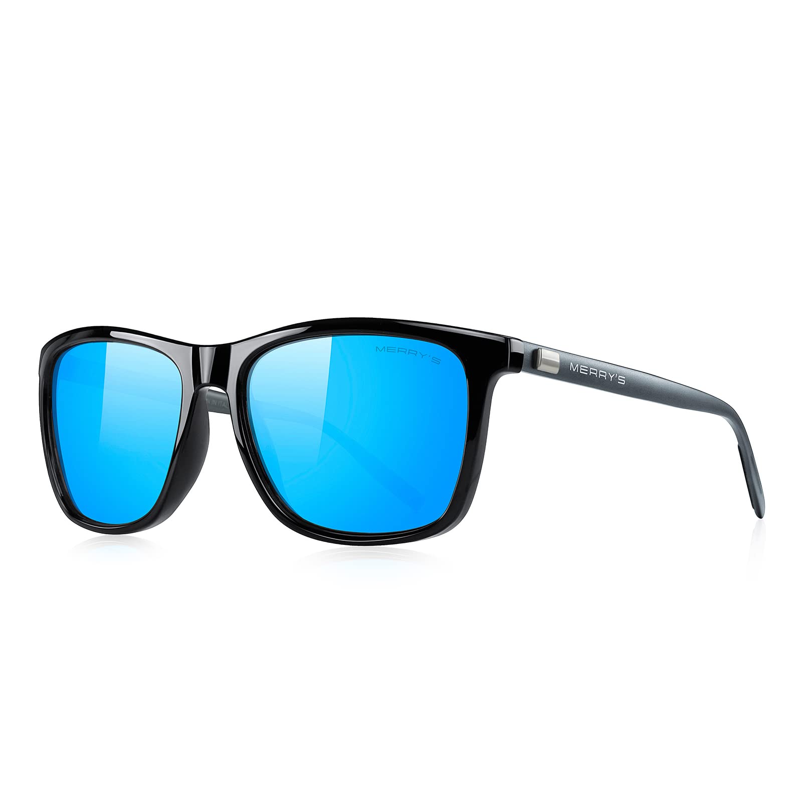
Expert tip: Make sure you pack reliable gear for this adventure.
7 Winter Road Trips in the US
Organized by region — Southwest desert, Southeast parkways, tropical coast, Pacific Northwest, Rocky Mountain, and Sierra Nevada.
Death Valley, CA
Best stargazing in the US

Death Valley is categorically a winter destination. In summer it reaches 120°F — genuinely dangerous. In December through February it sits at a comfortable 65–75°F, making it ideal for hiking Mesquite Flat Sand Dunes, Zabriskie Point, and Artist's Drive. The dry desert air and complete absence of light pollution make it one of the best stargazing locations in the contiguous United States — the Milky Way is visible to the naked eye. Winter rains also trigger wildflower seed germination, setting up the spring bloom that peaks in February on good-rain years. Zero crowds at every trailhead and $50–$70 lower nightly rates than spring shoulder season.
Stay at Furnace Creek — the only area with reliable lodging options within the park. Nights drop to 40°F even in December, so pack a layer regardless of daytime warmth.
Natchez Trace Parkway, TN to MS
444 miles with zero commercial traffic

The Natchez Trace is a federally protected parkway with no commercial vehicles, no billboards, and a 50 mph speed limit. In summer it is pleasant but warm. In winter it becomes one of the quietest drives in America — a tunnel of bare deciduous trees and Spanish-moss-draped live oaks at peak atmospheric green. The route runs 444 miles from Nashville, TN to Natchez, MS through Civil War sites, Native American mounds, and river overlooks. Winter temperatures are mild (45–60°F) — cool enough to be comfortable, warm enough that the drive is not a weather risk on any day without active precipitation. Campgrounds along the route are free with a permit and entirely empty in winter.
Drive south to north — Nashville to Natchez is the conventional direction, but north to south lets you end at the Mississippi River bluffs in Natchez, one of the most cinematic end points on any US parkway.
Florida Keys Highway 1 Loop
Dry season + peak manatee viewing

The Florida Keys in summer means humidity, afternoon thunderstorms, and hurricane risk. January through March is dry season — 72–78°F, virtually no rain, and peak wildlife season. Manatees concentrate in the warm-water canal systems of Key Largo and Marathon as ocean temperatures cool. The Seven Mile Bridge drive is at its most photogenic under winter's lower-angle light. Snorkeling at John Pennekamp Coral Reef State Park has better visibility in dry season due to reduced runoff. Hotel rates in January and February run $40–$70 lower per night than spring break (March–April). Key West in winter is a working waterfront town rather than a party destination — a meaningfully different experience.
Book Key West accommodation 6–8 weeks in advance for the January–February window — it is the most popular winter destination in Florida and rooms sell out even in the off-peak winter window.
Big Bend National Park, TX
Desert hiking at ideal temperature

Big Bend is one of the most remote national parks in the US — 8 hours from Dallas, 6 from San Antonio — which keeps crowds manageable year-round. But winter is its peak season for good reason. The Chisos Basin at 5,400 ft elevation provides a microclimate where daytime highs of 55–70°F are ideal for hiking the South Rim Trail (14 miles round-trip, 2,000 ft elevation gain). The Santa Elena Canyon walls glow orange and red in low winter light. Dark sky conditions are exceptional — Big Bend has the least light pollution of any national park in the lower 48. Rio Grande Village and the Boquillas Canyon overlook are accessible all winter without any permits.
Reserve Chisos Basin Lodge rooms 4–6 months in advance — there are only 72 rooms in the park and they sell out completely in December and January. Camping at the basin requires a permit.
Olympic Peninsula Hot Springs Loop, WA
Hoh Rain Forest at peak moss saturation

The Olympic Peninsula is one place where winter rain is a feature, not a bug. The Hoh Rain Forest receives 12–14 feet of rainfall annually — most of it in winter — and the moss-carpeted Hall of Mosses trail is at its most saturated and intensely green from November through February. Pair the rain forest with Sol Duc Hot Springs (a developed resort with outdoor pools open year-round) and the less-developed Olympic Hot Springs (free, backcountry, 2.5-mile hike each way). The Strait of Juan de Fuca coast is empty in winter and storm-watching from the beach at Kalaloch or Rialto Beach is a legitimate winter activity. Pack waterproof everything — rain is a certainty.
Sol Duc Hot Springs Resort closes from late March to late May, then reopens in late May. Check dates annually. Olympic Hot Springs requires a short hike on a rough road — check Olympic NP road conditions before driving in.
Sedona to Grand Canyon South Rim, AZ
Red rocks dusted with snow + 1/10th summer crowds

Sedona in January is a different landscape entirely. The red sandstone formations occasionally receive a light snow dusting — a combination that occurs only a few days per year and produces some of the most visually distinctive southwestern landscapes possible. Cathedral Rock and Bell Rock with snow caps are worth the timing alone. From Sedona, 89A north through Oak Creek Canyon (closed if icy — check conditions) to the South Rim of the Grand Canyon takes 2 hours. The South Rim in January averages 700 daily visitors versus 7,000 in summer — Mather Point with no one in it is a fundamentally different experience. Hotel rates in Sedona run $20–$40 lower per night in January–February.
Highway 89A through Oak Creek Canyon closes immediately on ice or snow. Always check ADOT at az511.gov before driving it in January–February. The alternative via I-17 and SR-179 adds 30 minutes and avoids the canyon.
Lake Tahoe Snow Driving Loop, CA/NV
Emerald Bay under snow + après-ski culture

Lake Tahoe in winter is not a compromise — it is the main event. The 72-mile loop around the lake (Highway 89 on the west, US-50 on the south, SR-28 on the east) passes Emerald Bay State Park overlook, where Vikingsholm Castle sits on a snow-covered peninsula above the clearest alpine lake in North America. Cross-country skiing access is available directly from the road at Spooner Lake and the Tahoe Meadows area. South Lake Tahoe's après-ski culture runs from November through March — a genuine mountain-town atmosphere that disappears in summer when the lake becomes a beach destination. Chain controls (R-2 or R-3) are in effect on SR-89 during and after snowstorms — carry chains or all-season tires rated for snow.
Caltrans requires tire chains on SR-89 between Tahoe City and South Lake Tahoe during active snowfall. Check Caltrans QuickMap (quickmap.dot.ca.gov) before departure. All-weather tires (M+S rated) satisfy the R-2 requirement without chains.
Winter Road Trip Gear and Preparation
Five vehicle and gear checks before any mountain or remote winter route.
Tire chains (or all-weather M+S tires)
Required by law during winter conditions on mountain roads in California (I-80, US-50, SR-89), Colorado, Oregon, and Washington. Chain controls are enforced — vehicles without compliant tires or chains are turned back. Carry chains even if you have all-weather tires: R-3 controls require chains on all vehicles, regardless of tire type.
Winter windshield washer fluid (rated to −20°F)
Standard washer fluid freezes in the lines below 32°F and can crack the fluid reservoir. −20°F rated fluid is a $5 fix that prevents a $200 repair. Refill before every mountain route departure.
Full-tank rule: never below half
Fuel line freeze is a real risk below 20°F. Running low on gas in Death Valley or Big Bend in winter — where the next gas station may be 50+ miles away — is a safety issue. Fill to full at every opportunity. Gas stations are also less frequent on winter rural routes because some close seasonally.
Emergency blanket + warm layers in the trunk
Keep a space blanket (foil emergency blanket, $5, compresses to fist size), a fleece jacket, and a hat in the trunk regardless of what you are wearing. If you go off the road on a remote winter route and the heater fails, these items become survival equipment.
Battery health check before departure
Cold reduces lithium and lead-acid battery output by 30–50%. A battery that starts the car fine at 70°F may fail at 10°F. AutoZone, O'Reilly, and most auto parts stores will test battery health for free — do this before any winter mountain route. A battery over 4 years old that tests weak should be replaced before the trip.
Before every mountain route: Check your state DOT road conditions app — Caltrans QuickMap (CA), CDOT (CO), WSDOT (WA), or AZ511 (AZ). Mountain pass closures happen with less than 2 hours notice during active snowstorms.
Common Questions
What is the best winter road trip in the US?+
Is it safe to road trip in winter?+
Are national parks open in winter?+
When are tire chains required?+
Continue Reading

How to Visit National Parks in Summer Without the Crowds (2026)
Timed entry systems, early arrival strategy, park-specific crowd avoidance tactics, and what to do when reservations are sold out.

Utah's Mighty 5 Road Trip: 7-Day National Parks Loop (2026 Guide)
The complete 7-day Utah Mighty 5 road trip — Zion, Bryce, Capitol Reef, Arches, and Canyonlands from Las Vegas with day-by-day stops and logistics.

How to Plan a Road Trip in 30 Minutes Using AI
The 5-step AI road trip planning workflow — from origin and destination to a full scenic itinerary open in Google Maps in 30 minutes.
See Your Trip Come to Life
MIZA AI instantly turns inspiration into a fully mapped, day-by-day itinerary. Here's a sneak peek.
Winter Road Trips: 7 US Routes That Are Better in the Cold
Morning Scenic Drive
09:00 AMLocal Coffee & Breakfast
10:30 AMViewpoint & Photography
11:45 AMHistoric Downtown
01:30 PMMorning Scenic Drive
09:00 AMLocal Coffee & Breakfast
10:30 AMViewpoint & Photography
11:45 AMHistoric Downtown
01:30 PMMorning Scenic Drive
09:00 AMLocal Coffee & Breakfast
10:30 AMViewpoint & Photography
11:45 AMHistoric Downtown
01:30 PMPlan your winter route — scenic stops included.
TripsGalaxy builds winter routes with scenic stops optimized for the cold season — dark-sky overlooks, hot springs, and canyon roads at their quietest.
Plan free →