

Arizona Winter Road Trip: 6 Days of Desert Sun from Phoenix to Tucson and Bisbee
Saguaro forests, a cactus-to-snow mountain drive, old copper towns and a rock wonderland, all under 60-something-degree January sun.
While most of the country is scraping windshields, January highs in Tucson average in the mid-60s°F, and you can drive from a saguaro forest to snow on Mount Lemmon in about an hour. That contrast is why an Arizona winter road trip is the warm-weather answer to our winter road trips USA roundup: the low desert is at its most comfortable exactly when the rest of the map is at its worst.
Here is the loop up front: Phoenix, Tucson, both districts of Saguaro National Park, Mount Lemmon, Tombstone, Bisbee, Chiricahua National Monument and back to Phoenix. It runs roughly 650 miles over 6 days, with no single driving day over about four hours. Our Sedona and Southwest guides cover the red-rock north; this one is the southern half of the state, where winter is peak season rather than a compromise.
When Southern Arizona Is at Its Best
November through April is the window. Days are warm and dry, but this is still the desert: once the sun drops, temperatures fall fast, and nights in the 30s and 40s°F are normal. Bisbee sits at roughly 5,300 ft in the Mule Mountains and runs about 10 degrees cooler than Tucson, with freezing nights and the occasional snowfall. Pack a warm jacket even if the forecast says 70.
| Month | Phoenix high / low | Tucson high / low | Bisbee high / low | Notes |
|---|---|---|---|---|
| November | 77° / 54° | 75° / 48° | ~64° / ~37° | Warm shoulder month; great hiking, rates still reasonable |
| December | 66° / 45° | 66° / 41° | ~56° / ~32° | Early–mid December is the value window before the holidays |
| January | 68° / 46° | 67° / 41° | ~56° / ~32° | Coolest nights; best chance of snow on Mount Lemmon and in Bisbee |
| February | 71° / 49° | 69° / 43° | ~60° / ~34° | Phoenix Open and spring training push Phoenix rates up |
| March | 78° / 55° | 76° / 48° | ~66° / ~37° | Wildflowers in good-rain years; peak Phoenix hotel pricing |
| April | 86° / 61° | 83° / 53° | ~73° / ~43° | Heat returns to the low desert; hike at dawn |
Average highs and lows in °F. Phoenix and Tucson from 1991–2020 NWS/NOAA normals; Bisbee figures are approximate.
Phoenix-area hotel rates climb sharply during MLB spring training (the Cactus League, late February through March), when 15 teams train around the Valley, and around the WM Phoenix Open in Scottsdale in early February. The value window is early to mid-December and January weekdays. If your dates are flexible, schedule the two Phoenix nights on a Sunday through Thursday in January and let the Tucson and Bisbee nights float.
The 6-Day Loop, Day by Day
The route runs counterclockwise: south on I-10, east into the high grasslands, then back west. Mileages are approximate driving distances between overnight stops and do not include in-park driving.
Day 1: Phoenix and Scottsdale
~40 miStart with sunrise on Piestewa Peak or Camelback Mountain; both summit trails are steep, short and fill their parking lots early on weekends, so aim to be on the trail before 7am. Spend late morning in the Desert Botanical Garden in Papago Park, the best crash course in Sonoran plants you will get before Saguaro. Finish at Lost Dutchman State Park below the Superstition Mountains, where the cliffs glow orange in the last half hour of light.
Day 2: Phoenix to Tucson
~115 mi + detourDrive I-10 south with a short detour to Casa Grande Ruins National Monument, a four-story Ancestral Sonoran Desert People structure under a protective steel roof. In Tucson, head straight to Saguaro National Park West (Tucson Mountain District) for the densest saguaro stands, then spend the afternoon at the Arizona-Sonora Desert Museum next door, which is part zoo, part botanical garden and mostly outdoors.
Day 3: Saguaro East and Mount Lemmon
~80 miMorning on the Cactus Forest Loop in Saguaro NP East (Rincon Mountain District). After lunch, take the Catalina Highway up Mount Lemmon: roughly 27 miles and about an hour from the desert floor to the pines near Summerhaven, below a summit of about 9,157 ft. You pass through life zones comparable to a drive from Mexico to Canada, and in January the upper switchbacks often have snow while the base sits in the 60s.
Mount Lemmon chain rules: The upper Catalina Highway can be restricted to 4WD or chain-equipped vehicles (AWD may still need chains) for a day or two after storms, or closed at the base. Check Pima County road updates or az511.gov the morning you go.
Day 4: Tucson to Tombstone to Bisbee
~70 mi + ~25 miGive Tombstone two hours: Allen Street, the Bird Cage Theatre and Boothill Graveyard. Then continue to Bisbee for the Queen Mine underground tour, the Lavender Pit overlook just outside town and an evening climbing the historic staircases of Old Bisbee, a former copper camp that is now an artist town of galleries, cafes and restored hotels.
Day 5: Bisbee to Chiricahua, then Willcox
~80 mi + ~36 miDrive east and north to Chiricahua National Monument, the “wonderland of rocks,” where volcanic ash eroded into thousands of balanced pinnacles. Drive Bonita Canyon Drive to Massai Point, then hike part of the Echo Canyon Loop. Overnight in Willcox, about 36 miles away. If you would rather go underground, Kartchner Caverns State Park near Benson is an easy add on Day 6; cave tours often sell out, so reserve ahead.
Day 6: Return to Phoenix
~190 miHead west on I-10 back to Phoenix. Picacho Peak State Park, roughly halfway between Tucson and Phoenix, is the natural leg-stretch; the base trails and picnic areas take 30 to 45 minutes, while the summit Hunter Trail is a steep half-day with cables. Fly out of Sky Harbor or stay one more night if your flight is early.
Tucson is the hinge of the trip: two nights there cover both Saguaro districts, the Desert Museum and Mount Lemmon without repacking the car.
Find hotels in TucsonSaguaro National Park: East vs West District
Saguaro is two separate parks on opposite sides of Tucson, about 30 miles and roughly 45 minutes to an hour apart through city traffic. One entrance fee covers both districts for 7 days, and an America the Beautiful pass covers entry too. The best time to visit Saguaro National Park is November through March, when midday hiking is comfortable; by May the trails are dawn-only.
| West (Tucson Mountain) | East (Rincon Mountain) | |
|---|---|---|
| Best for | Dense saguaro stands and sunset | Scenic driving and longer hikes |
| Signature drive | Bajada Loop Drive (mostly graded dirt) | 8-mile paved Cactus Forest Loop |
| Don’t miss | Signal Hill petroglyphs | Freeman Homestead and Tanque Verde Ridge trails |
| Pair it with | Arizona-Sonora Desert Museum | Mount Lemmon via the Catalina Highway |
Sunset tip: the short walk to the Signal Hill petroglyphs in the West district puts you on a rise above the Bajada with saguaros silhouetted in every direction. Arrive 45 minutes before sunset, then drive out slowly; the dirt road and the javelina both get harder to see after dark.
Juggling Saguaro East, Saguaro West and Mount Lemmon in one day? TripsGalaxy.com builds the route with stops every 2–3 hours and opens it in Google Maps.
Plan it freeWorth-It Tours and Experiences
Most of this loop is self-drive, but three experiences are worth paying for.
Hot-air balloon flight over the Sonoran Desert (Phoenix)
Winter mornings are typically calm and cool, which is exactly what balloon pilots want. Flights launch around sunrise on the north side of the Valley and drift over saguaro flats.
Verdict: Best for couples and first-timers who want one splurge moment.
Sonoran Desert jeep tour (Phoenix or Tucson)
A guide takes you onto rough desert roads you should not attempt in a rental, with stops to explain which cactus is which and why the saguaro arms point where they do.
Verdict: Best for families and anyone with a low-clearance rental car.
Queen Mine underground tour (Bisbee)
Retired miners have long led these tours: you ride a mine train into the old copper workings in a hard hat and slicker. It stays cool underground year-round, so bring a layer.
Verdict: Best for history buffs and kids old enough to ride the train.
Where to Stay on the Loop
Scottsdale for resort pools and walkable Old Town; Tempe for value and quick airport access.
Downtown for restaurants and the streetcar; the Catalina Foothills for quiet resorts closer to Mount Lemmon.
Historic hotels and guesthouses in Old Bisbee, within walking distance of Main Street.
Simple, inexpensive motels and the closest real base for Chiricahua.
The counterintuitive call: base in Bisbee, not Tombstone. Tombstone is the famous name, but it is a two-hour stop; once the gunfight reenactments end, the town goes quiet. Bisbee, 25 minutes away, rewards an overnight: dinner on Main Street, the staircases after dark and a slow morning before the Queen Mine opens.
Book the Phoenix nights first. They are the ones that jump in price and sell out around spring training and the Phoenix Open.
Find hotels in ScottsdaleDesert Driving and Sun Tips (Even in Winter)
Winter sun at elevation still burns. A 65-degree day on the Mount Lemmon switchbacks or at Massai Point in Chiricahua feels mild, but the dry, clear air lets UV through, and most visitors leave the sunscreen at the hotel. Our sun and heat protection gear guide covers hats, shirts and cooling gear in detail.
- Water: carry 1 gallon per person per day on hikes, even in January. Dry air dehydrates you without the sweat you would notice in summer.
- Border Patrol checkpoints: expect them on some southern highways. They are routine; slow down, answer a question or two and carry ID.
- Wildlife at dusk: javelina, deer and coyotes cross roads around sunrise and sunset, especially near Saguaro and on the Catalina Highway.
Services are sparse on SR-186 and SR-181 around Chiricahua National Monument. Fill the tank in Willcox (or in Bisbee or Douglas on the way in) before heading to the monument, and do not count on finding fuel along the way.
Clear winter desert air plus elevation equals a sunburn most visitors don't expect.
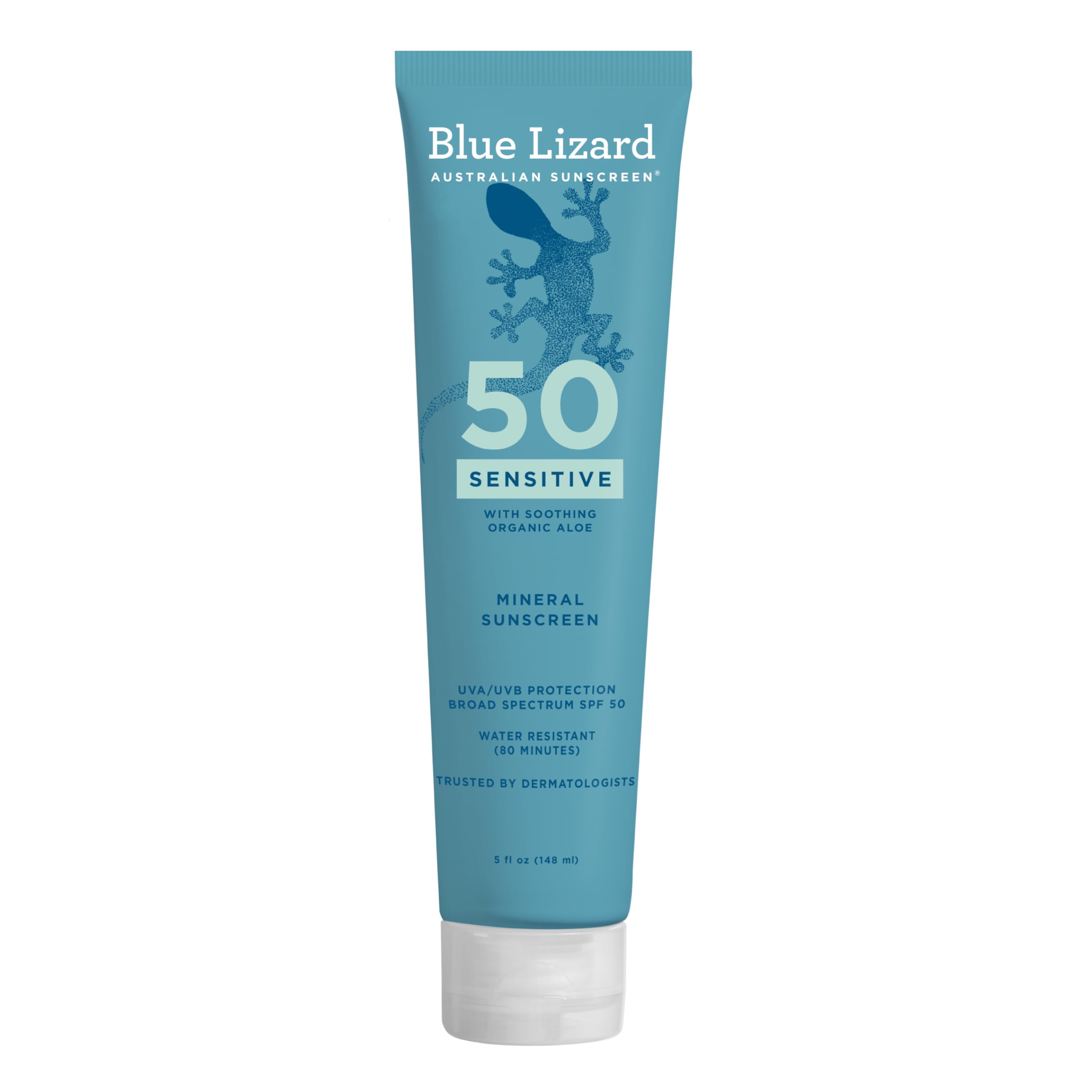
Before any mountain drive: check az511.gov (ADOT) and Pima County road updates. Winter storms in southern Arizona are short, but they can close the Catalina Highway with little warning.
This is the rare road trip where winter is peak season, not the off-season discount. The deserts are green-gray and comfortable, the mountains have snow on top, and the light is low and gold all day. Lock in the Phoenix hotel nights first, ideally by October for a January trip, because those are the rooms that disappear once spring training and the Phoenix Open approach. Tucson, Bisbee and Willcox can be booked a few weeks out.
Common Questions
Is Arizona good for a road trip in winter?+
What is the warmest place in Arizona in winter?+
Can you see snow near Tucson?+
When are Phoenix hotels most expensive?+
Continue Reading

Sedona and Northern Arizona Road Trip: 4 Days Beyond the Grand Canyon
A 4-day northern Arizona road trip — Sedona red rocks, Oak Creek Canyon, Flagstaff, and the Grand Canyon South Rim.

Ultimate American Southwest Road Trip: 10 Days
The definitive Southwest road trip guide — Zion, Bryce Canyon, Arches, Canyonlands, and Grand Canyon.

7 Best Winter Road Trips in the US: Routes That Are Better in the Cold
7 US road trips that are genuinely better in winter — Death Valley, the Natchez Trace, Florida Keys, Big Bend, and more with gear tips.
See Your Trip Come to Life
MIZA AI instantly turns inspiration into a fully mapped, day-by-day itinerary. Here's a sneak peek.
Arizona Winter Road Trip: 6 Days of Desert Sun from Phoenix to Tucson and Bisbee
Morning Scenic Drive
09:00 AMLocal Coffee & Breakfast
10:30 AMViewpoint & Photography
11:45 AMHistoric Downtown
01:30 PMMorning Scenic Drive
09:00 AMLocal Coffee & Breakfast
10:30 AMViewpoint & Photography
11:45 AMHistoric Downtown
01:30 PMMorning Scenic Drive
09:00 AMLocal Coffee & Breakfast
10:30 AMViewpoint & Photography
11:45 AMHistoric Downtown
01:30 PMTrading snow for saguaros this winter?
TripsGalaxy.com builds your Phoenix–Tucson–Bisbee loop with curated stops and opens it in Google Maps. Free.
Plan This Trip →