
Park Hours (Today)
All Day
Tallgrass Prairie National Preserve Visitor Center: 8:30AM - 4:30PM
Miza AI
Plan your Tallgrass Prairie trip
About the Park
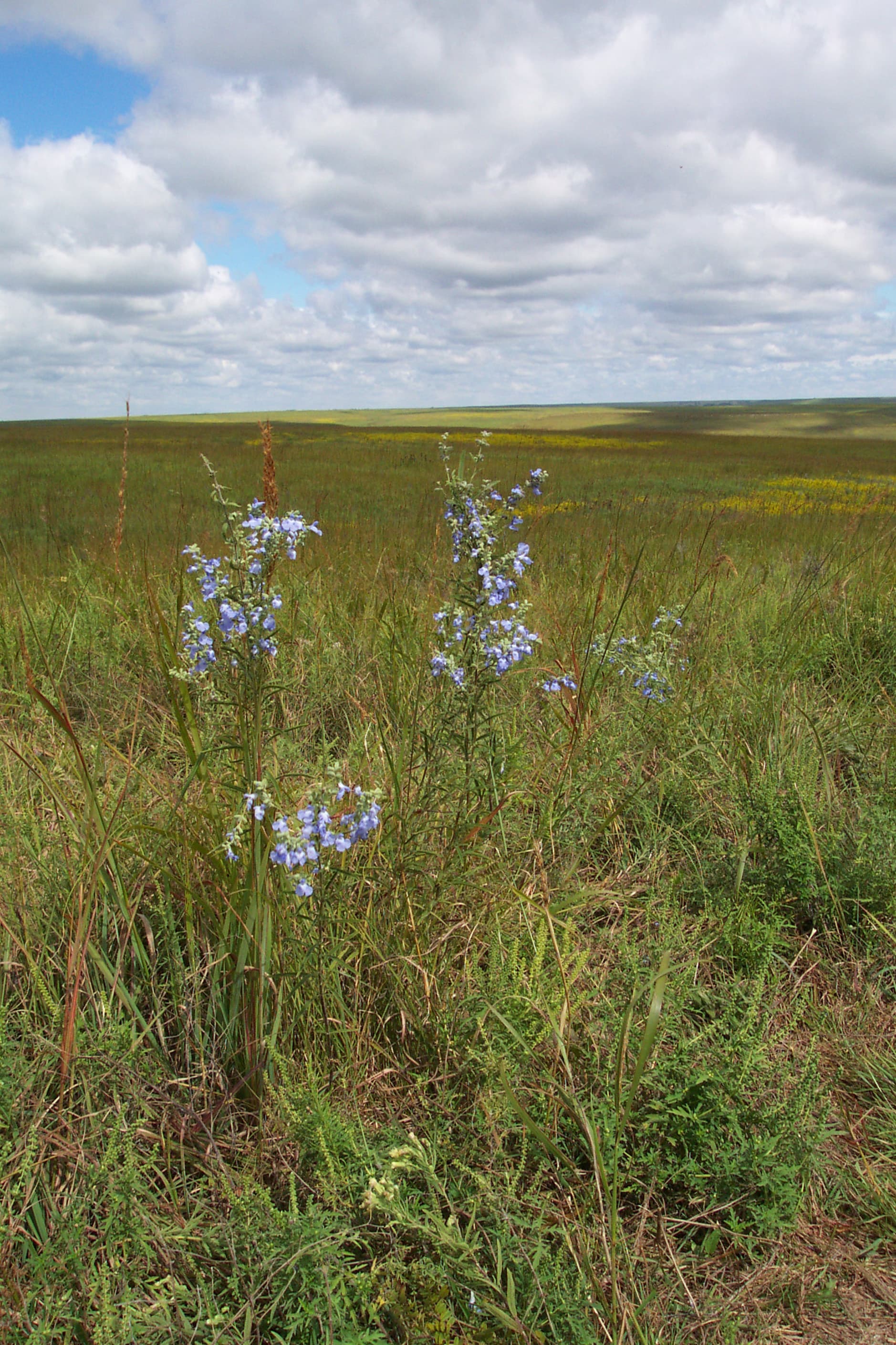
Tallgrass prairie once covered 170 million acres of North America, but within a generation most of it had been transformed into farms, cities, and towns. Today less than 4% remains intact, mostly in the Kansas Flint Hills. Established on November 12, 1996, the preserve protects a nationally significant remnant of the once vast tallgrass prairie ecosystem. Here the tallgrass makes its last stand.

Ready to explore Tallgrass Prairie National Preserve?
Take the stress out of planning. Our AI will automatically sequence your stops, find the best hotels, and optimize your driving time in seconds.
What to See & Do
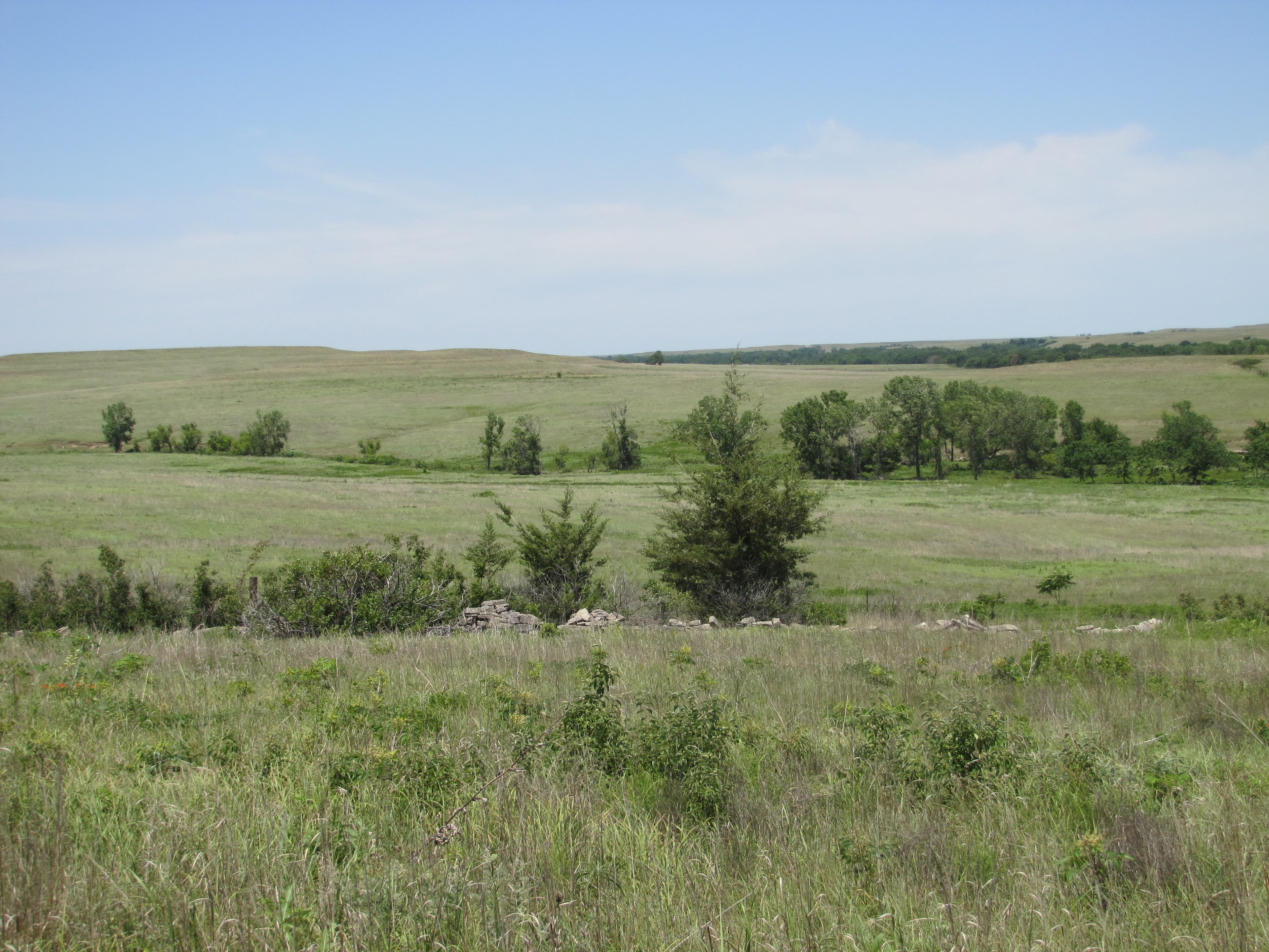
Nature Trails
Three nature trails (shorter in length) allow visitors to experience the tallgrass prairie first-hand, while remaining in closer proximity to visitor services. These trails are dog friendly, but please help all visitors enjoy them by keeping dogs on a visible 6' maximum leash and picking up after your pet. Enjoy your hike by following these important safety rules. Permits are not required to hike the trails. All trails open 24 hours; no camping.
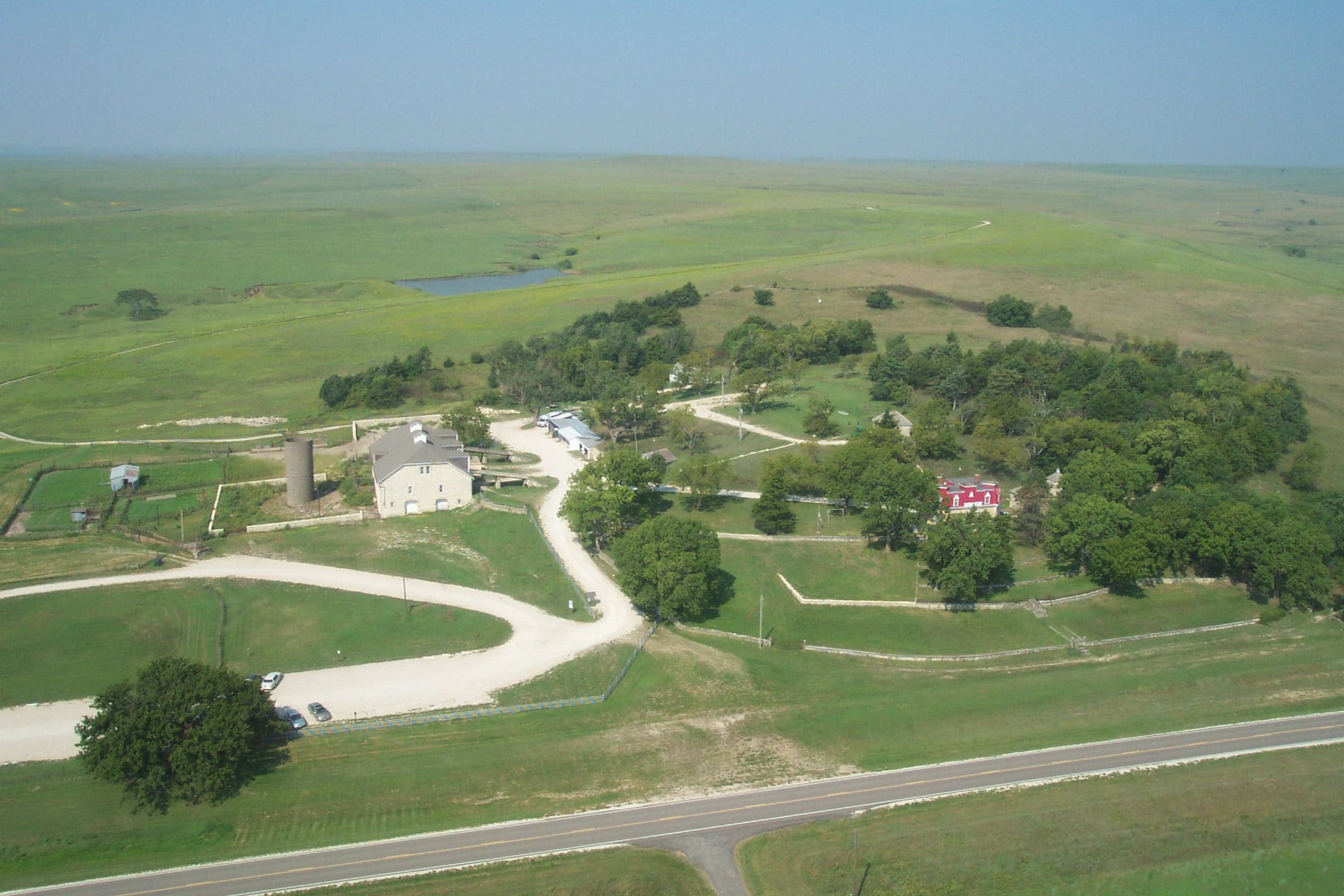
Take a Self-Guiding Tour of the Ranch
Stephen F. Jones named his ranch the Spring Hill Farm and Stock Ranch for the springs found on the hill west of the house. The house was built on a hillside with a two-story exposure on the upper side and a three story on the lower level. The three-level limestone barn measures 60 feet by 110 feet and is built into the hillside. It originally was roofed with 5,000 pounds of tin and sported a very large double-header windmill. Other outbuildings make up the ranch complex.
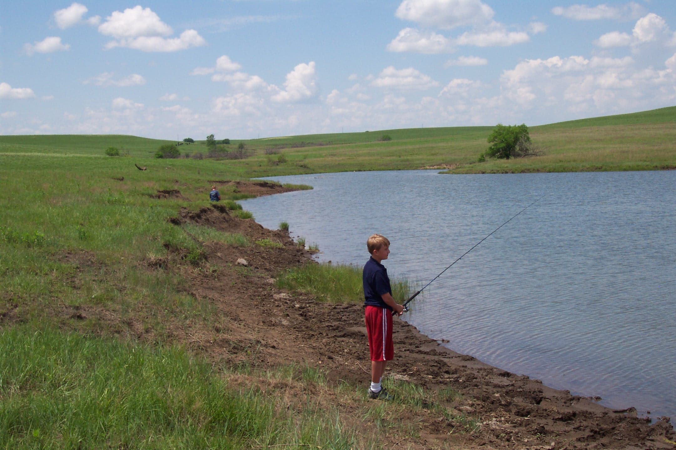
Try Catch and Release Fishing
Three preserve ponds and Fox Creek are open to the public for catch and release fishing under the Kansas Department of Wildlife, Park and Tourism's Fishing Impoundments and Stream Habitats (F.I.S.H.) program. The fishing program is available year-round.
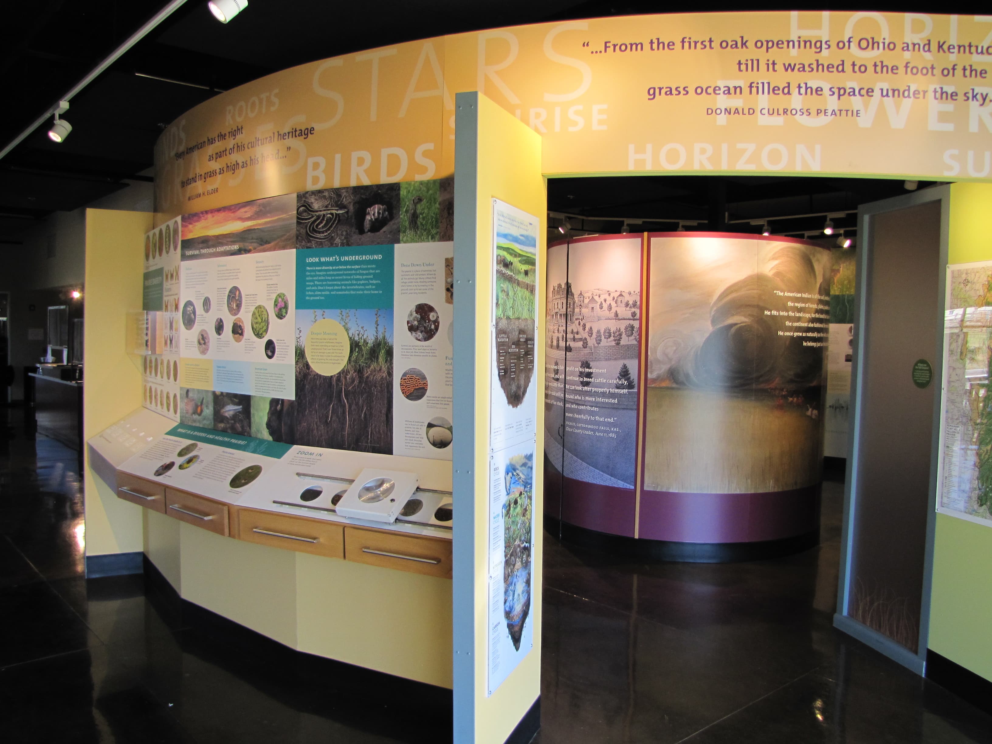
Explore Tallgrass Visitor Center
Park rangers attend the visitor center with a range of exhibits. Geology, ecology, history, and culture all shaped today's Tallgrass Prairie. A modest gift shop provides souvenirs and the park stamp for collecting memories. Junior Ranger books, event posts, trail maps, and brochures constantly draw visitors.
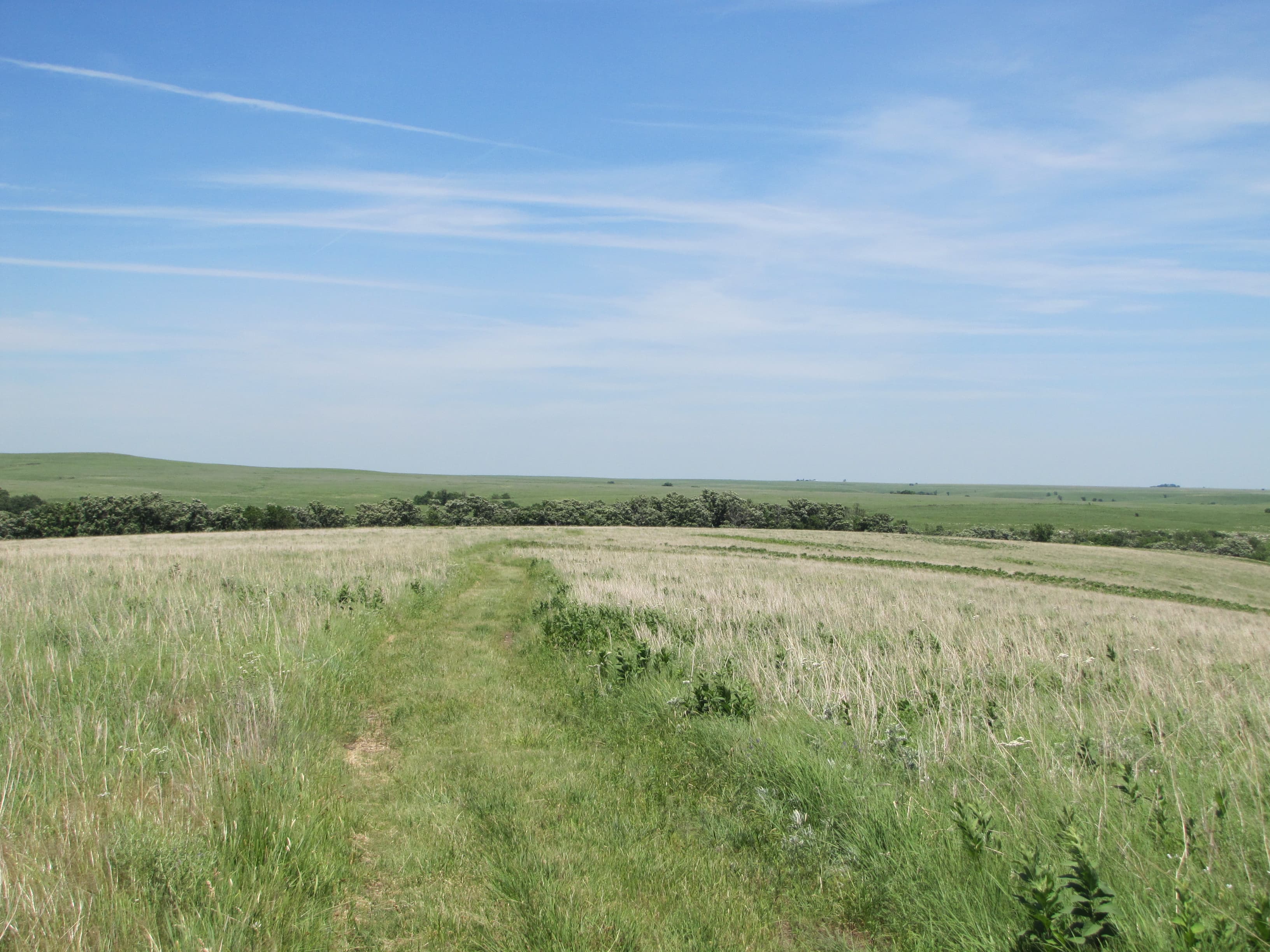
Take 12 to West Branch
Up for a full day hike? Set out for marker 27 on the north end of the preserve. This 12 mile rounder provides a grand view of the landscape, bison, and who knows what else. Learn more about backcountry hiking.
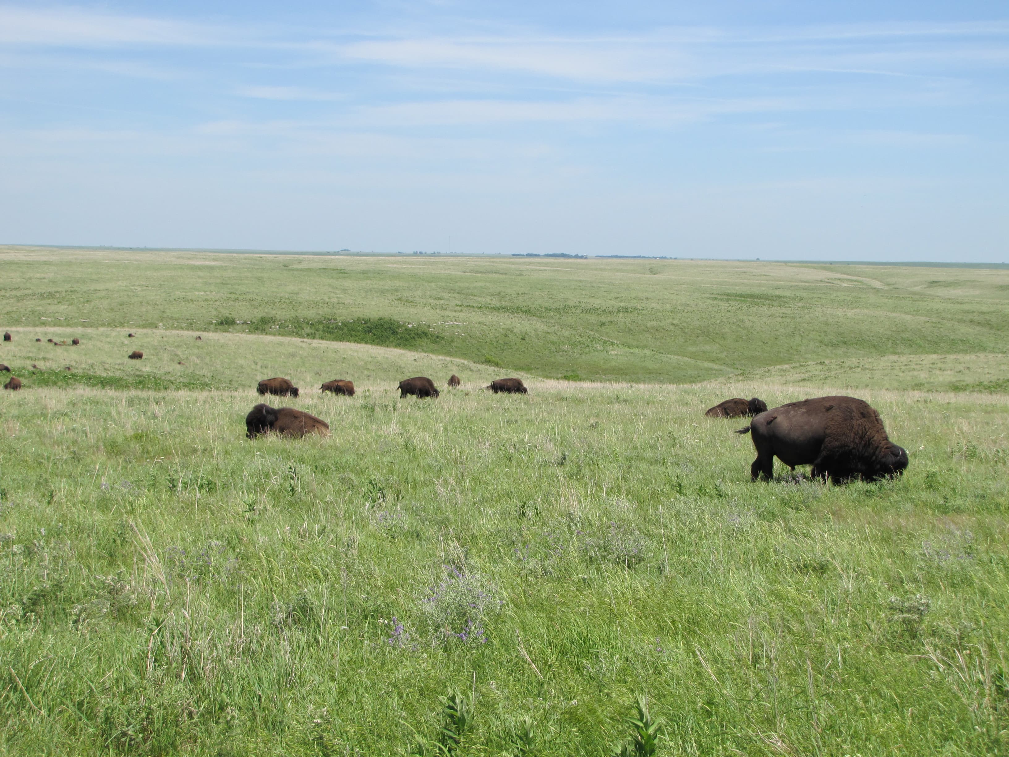
Bison viewing on the Scenic Overlook Trail
Walk along the gravel trail into the unplowed Flint Hills. Here an array of prairie wildlife make their home. The trail winds uphill through Windmill Pasture where a bison herd grazes. It continues to a hilltop on the far side. Several trail options allow extended backcountry hikes or alternate routes when bison block the path. The visitor center to the overlook is just over 3 miles (5 km) one-way.
Self-Guided Tours
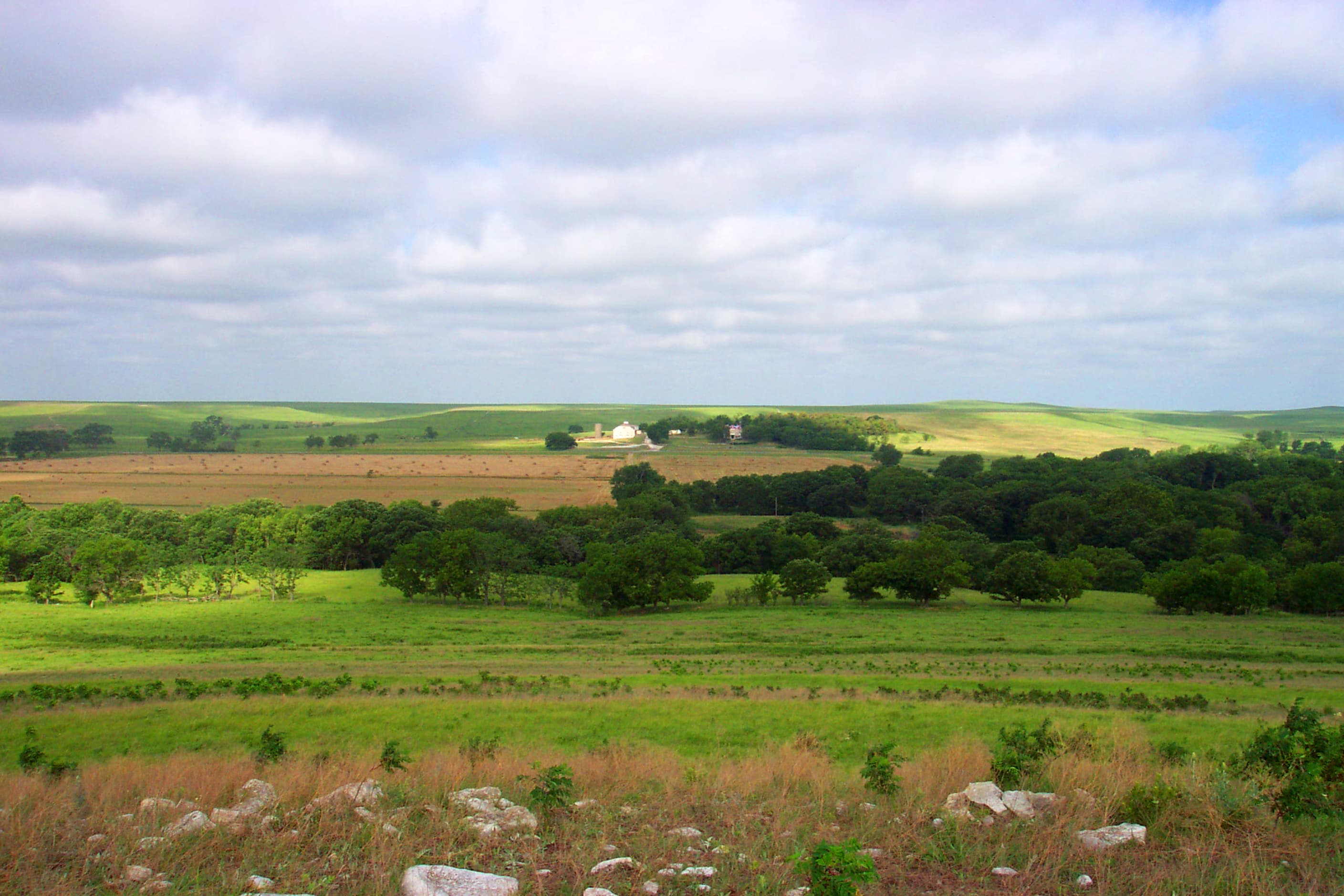
Spring Hill Ranch Buildings and Southwind Nature Trail Tour
This walking tour will highlight the main buildings of the Spring Hill Farm and Stock Ranch and provide an opportunity to hike through a portion of preserved tallgrass prairie.
Visitor Centers
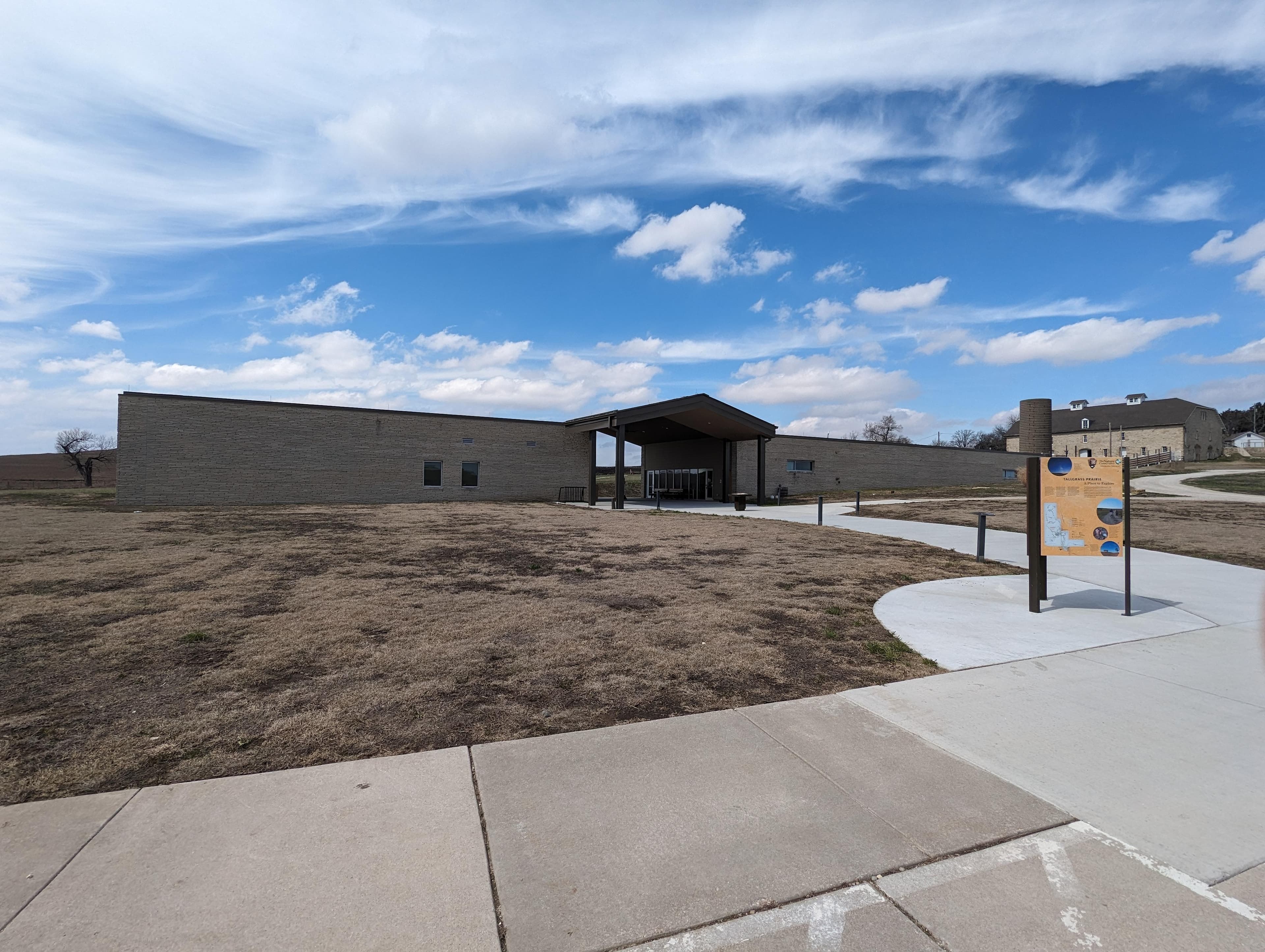
Tallgrass Prairie National Preserve Visitor Center
Begin your preserve visit with the visitor center, complete with 10-minute orientation video, exhibits, indoor and outdoor restrooms, and water fountains. The visitor center is located on the left side of the breezeway. Rangers attend the visitor center during regular business hours. Summer hours run from May through October. Shorter winter hours run from November through April.
Parking & Access
Getting Here
The preserve is located in northern Chase County, Kansas 2 miles north of intersection U.S. Hwy 50 and Flint Hills National Scenic Byway 177 (K-177) west of Strong City. Watch for brown attraction signs. **2 miles north of Strong City, KS on K-177** **16 miles west of Emporia, KS on U.S. Hwy 50 and 2 miles north on K-177** **17 miles south of Council Grove, KS on K-177** **85 miles northeast of Wichita on I-35, U.S. Hwy 50, and K-177** **60 miles southwest of Topeka on I-335 (Kansas Turnpike) to Emporia**
Official NPS directionsParking Lots
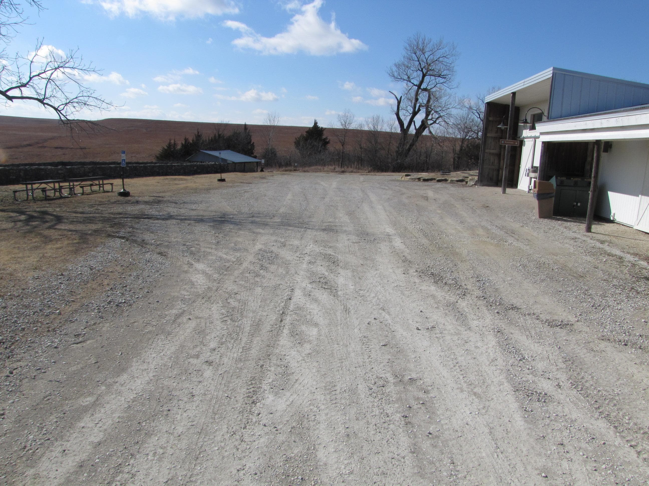
Barn Handicap Parking
The level grass area allows more convenient walking access to the historic barn and ranch house. The designated parking spots are next to a shaded picnic area. Restrooms and water filling station are across from the barn.
Open in Maps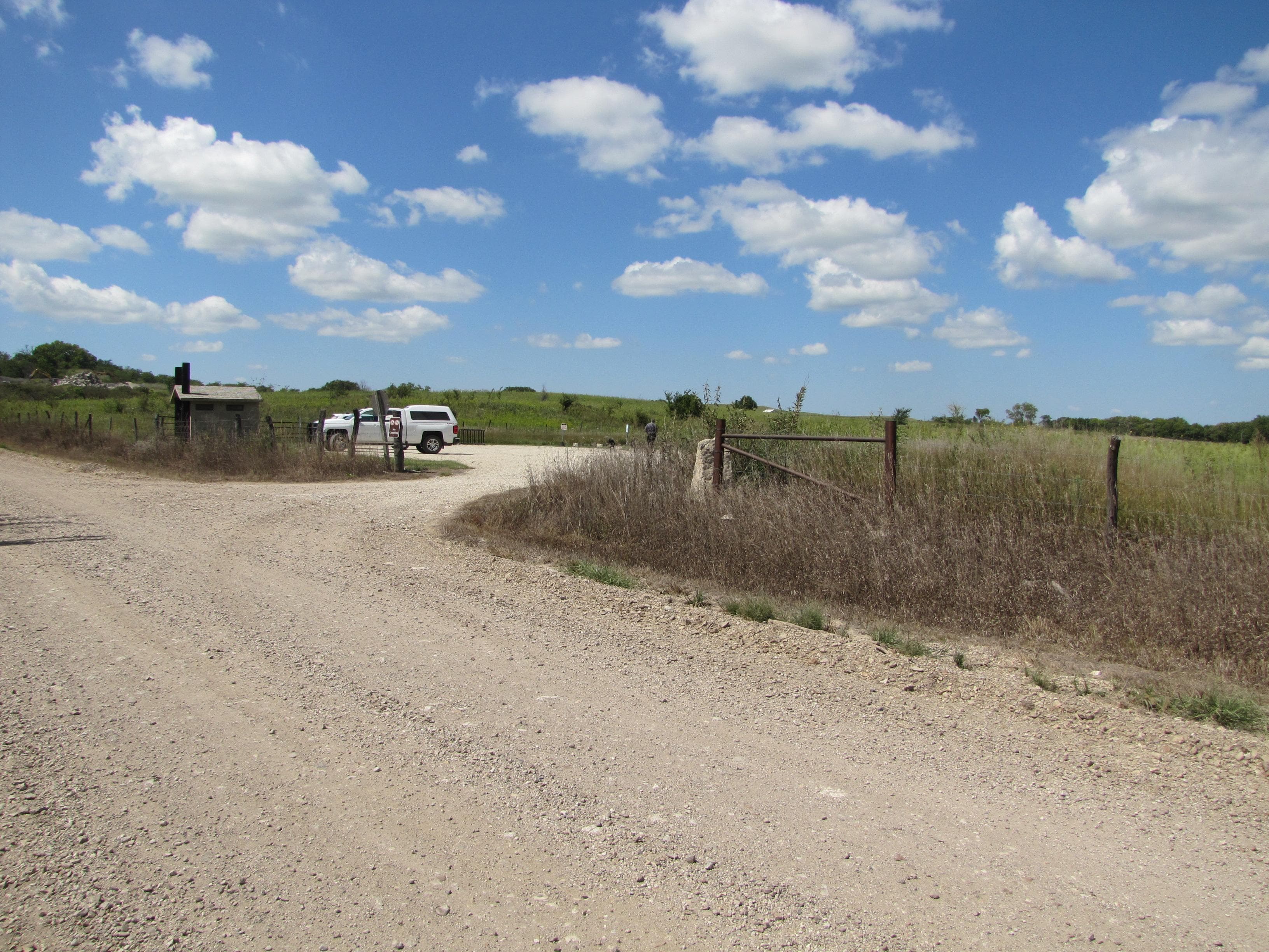
Bottomland Nature Trail Parking
The gravel parking lot is off county road 227. The lot has a single entrance with fence line. Larger vehicles will be difficult to maneuver in a full lot. Two unisex restrooms, a bike rack, and picnic tables are provided at the parking area. The dog-friendly Bottomland Nature Trail connects with the trail network for short or extensive hiking.
Open in Maps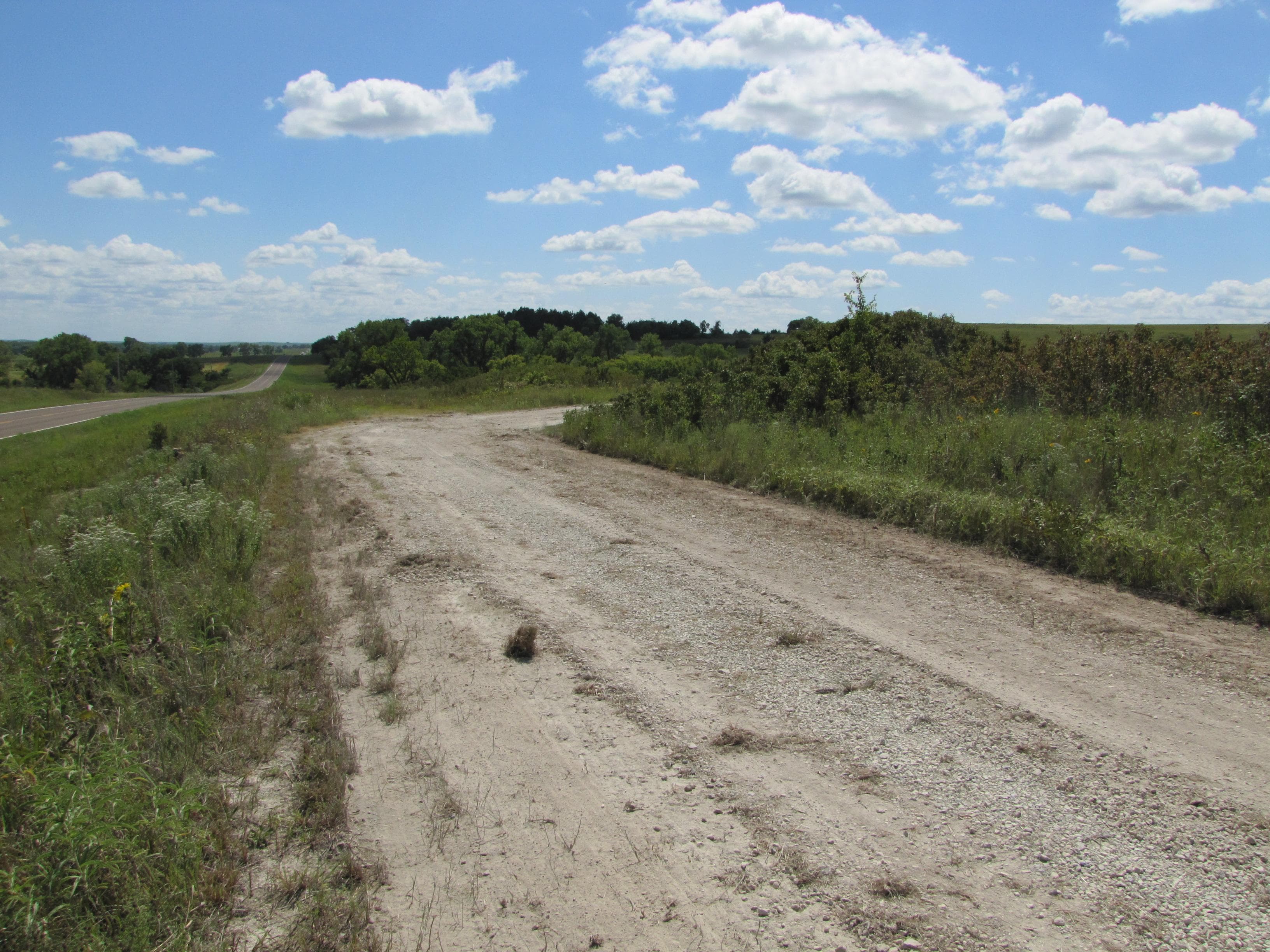
Lower Fox Creek Schoolhouse
The final U-turn into the gravel lot has a slight incline. The lot has walking access to the Southwind Nature Trail and the Davis Trail. Minimal turnaround space for campers and trailers.
Open in Maps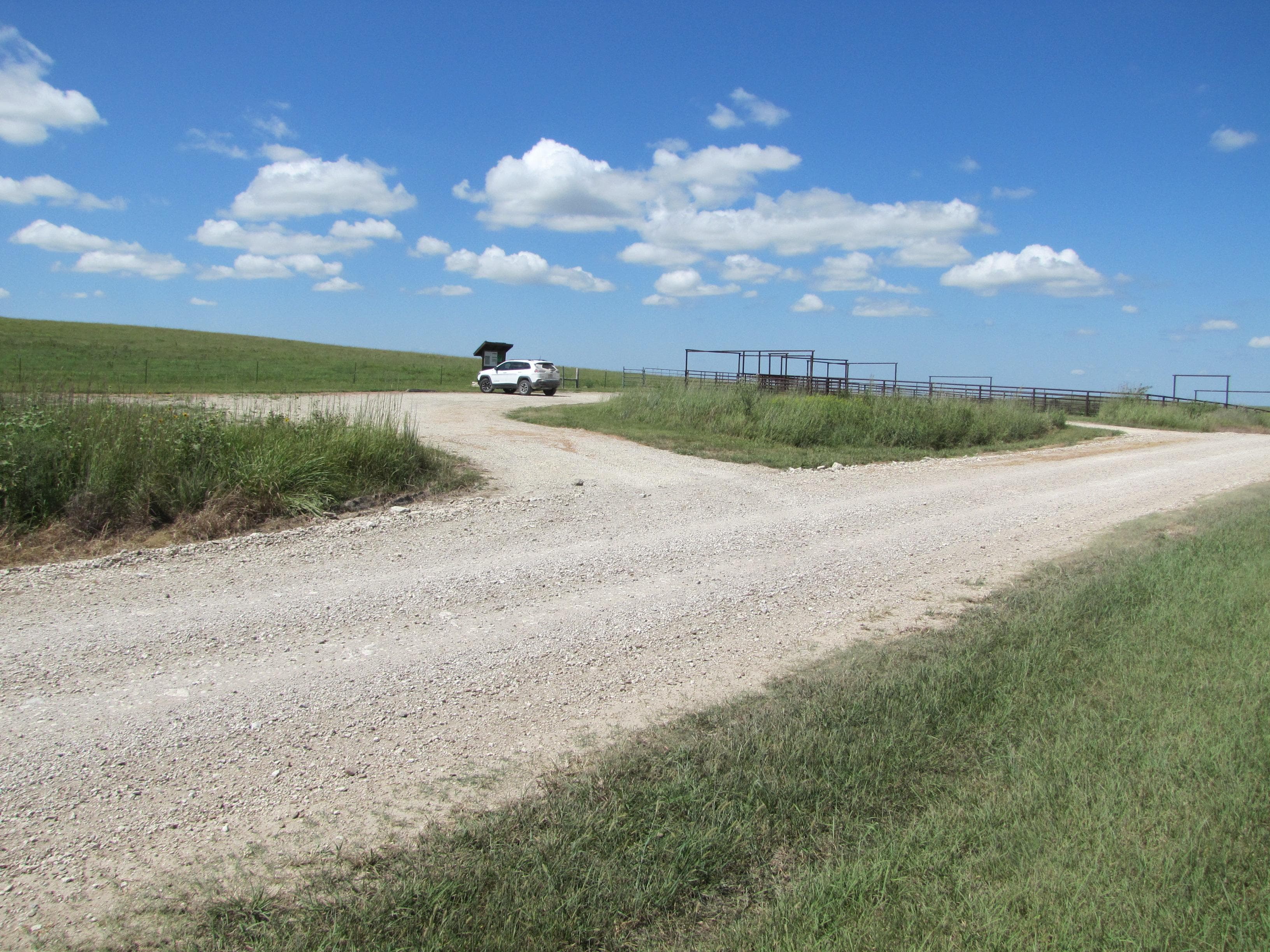
Two-Section Pasture
Small gravel lot with turn around for large vehicles and trailers. Corrals next to parking lot are for official use only. This lot is the eastern access to the 3 mile (5 km) Two Section Trail into Strong City. Leashed dogs are allowed when the pasture is not occupied by cattle. Three ponds in the area permit catch and release fishing.
Open in Maps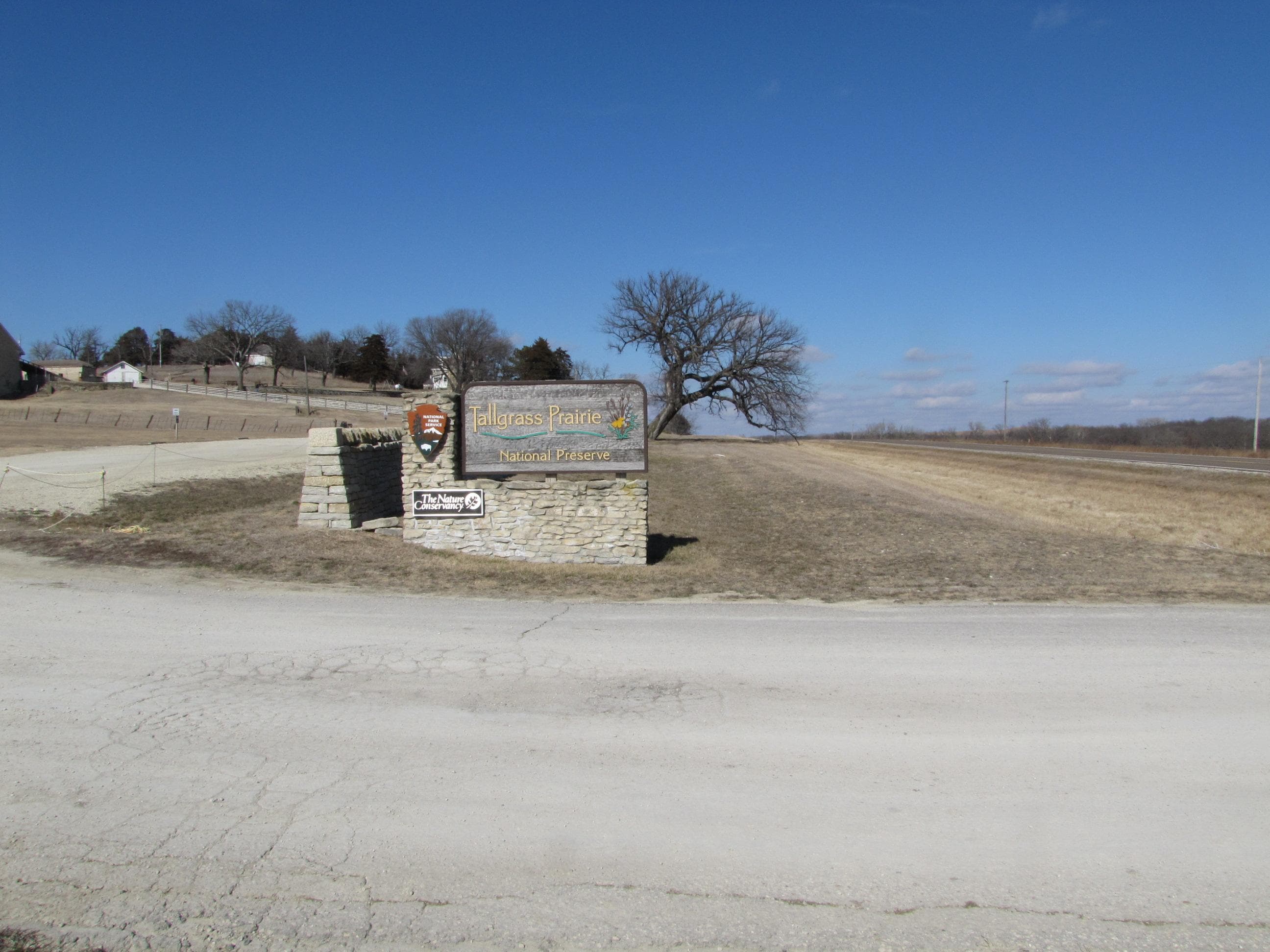
Visitor Center
Gravel parking lot off Kansas Highway 177 is open 24/7. The lot loops around to the north, allowing an easy circular traffic for campers and trailers. Handicap spaces are available near the visitor center entrance and near the barn entrance on the hill. The barn parking area closes at the end of business hours. The gravel and surrounding grass are soft after excessive rain.
Open in MapsGetting Here & Transit
How to Get Here
The preserve is located in northern Chase County, Kansas 2 miles north of intersection U.S. Hwy 50 and Flint Hills National Scenic Byway 177 (K-177) west of Strong City. Watch for brown attraction signs. **2 miles north of Strong City, KS on K-177** **16 miles west of Emporia, KS on U.S. Hwy 50 and 2 miles north on K-177** **17 miles south of Council Grove, KS on K-177** **85 miles northeast of Wichita on I-35, U.S. Hwy 50, and K-177** **60 miles southwest of Topeka on I-335 (Kansas Turnpike) to Emporia**
Park Amenities
Permits & Reservations
Permits may be required
Some activities in Tallgrass Prairie National Preserve — including backcountry camping, certain trails, and climbing routes — require advance permits. Check the official NPS website for current requirements before your visit.
Operating Hours
Tallgrass Prairie National Preserve Hours
Hiking trails are open 24/7; no camping, no open flames, no drones. Prescribed fire and cattle/bison operations may close specific trails. Watch for signs. Trail maps available at the Visitor Center and most trailheads. Cell phone tour information is available at the kiosk and on the waysides. Visitor Center and historic buildings are open daily from 8:30 am - 4:30 pm May 1st through October 31 and 9 am to 4:30 pm November 1 - April 30. Visitor Center closed Monday and Tuesday, from November 1 to March 31.
- MondayAll Day
- TuesdayAll Day
- WednesdayAll Day
- ThursdayAll Day
- FridayAll Day
- SaturdayAll Day
- SundayAll Day
Photos
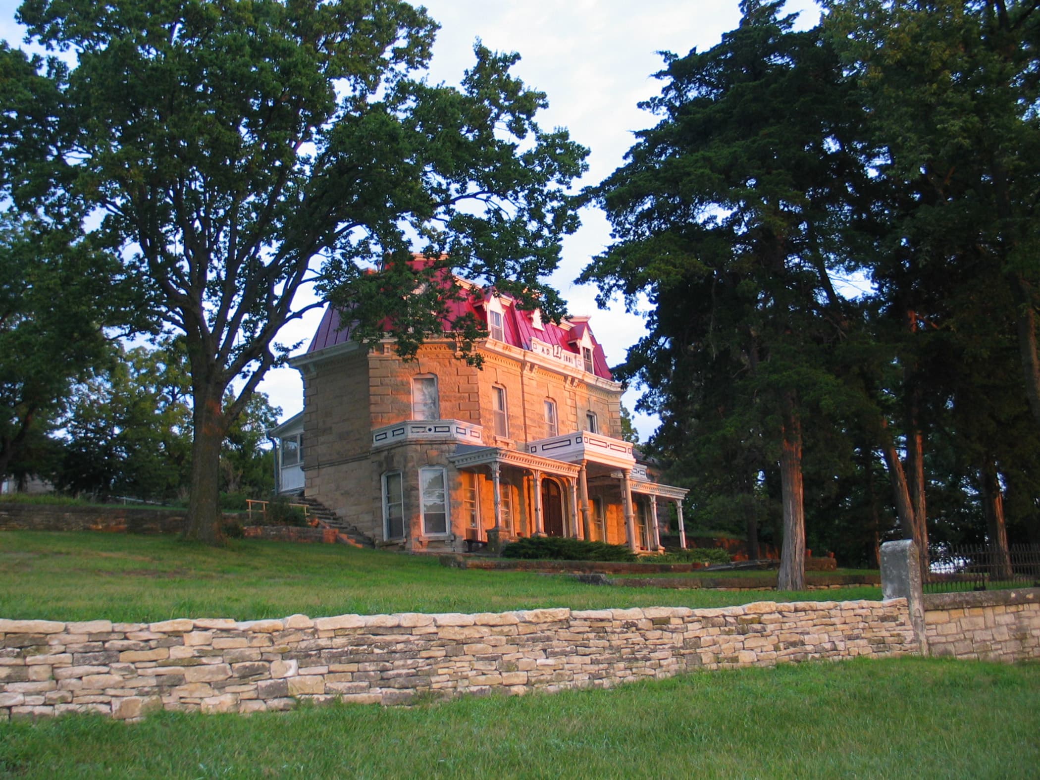
limestone mansion of the ranch
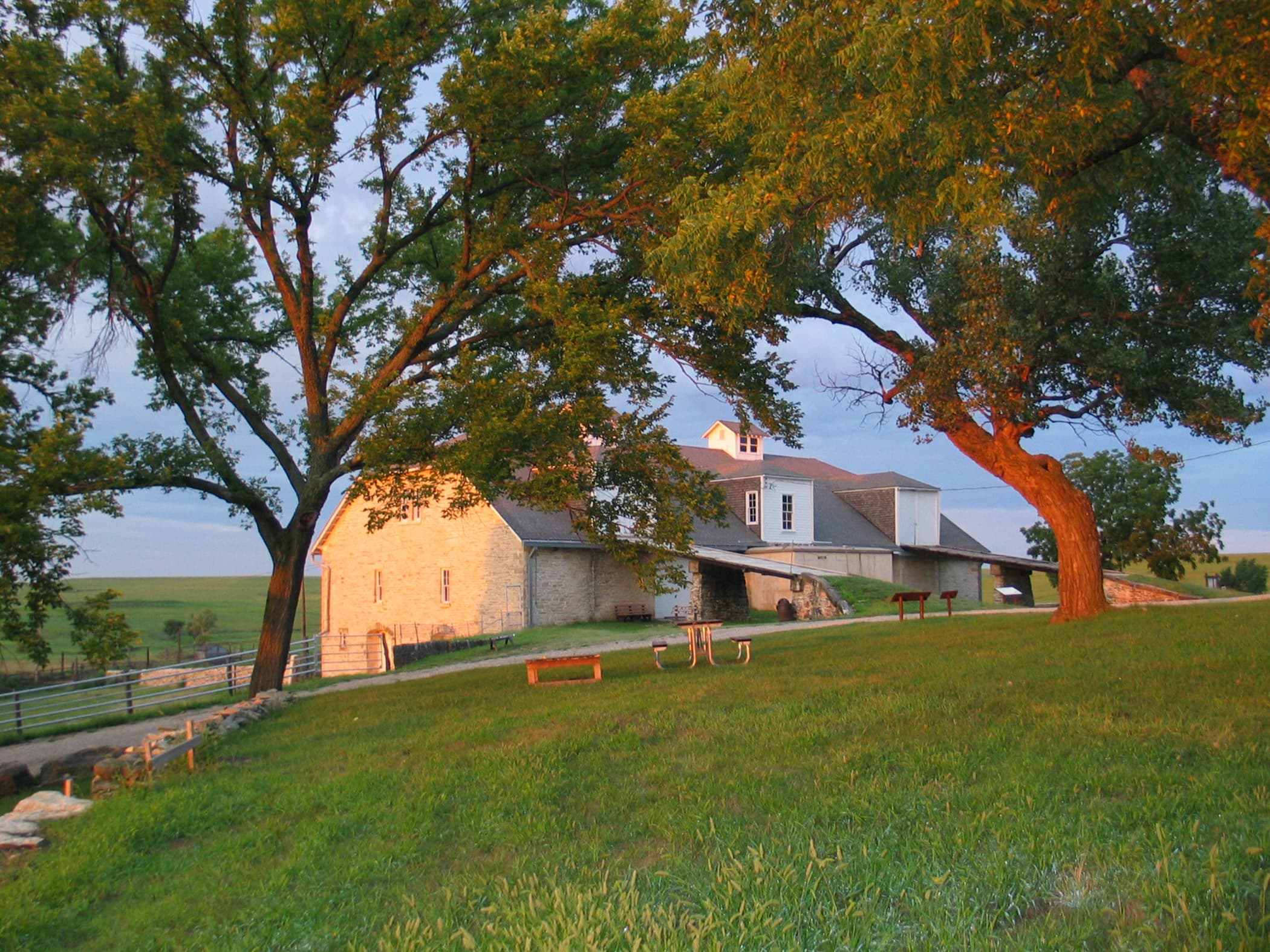
three level limestone barn
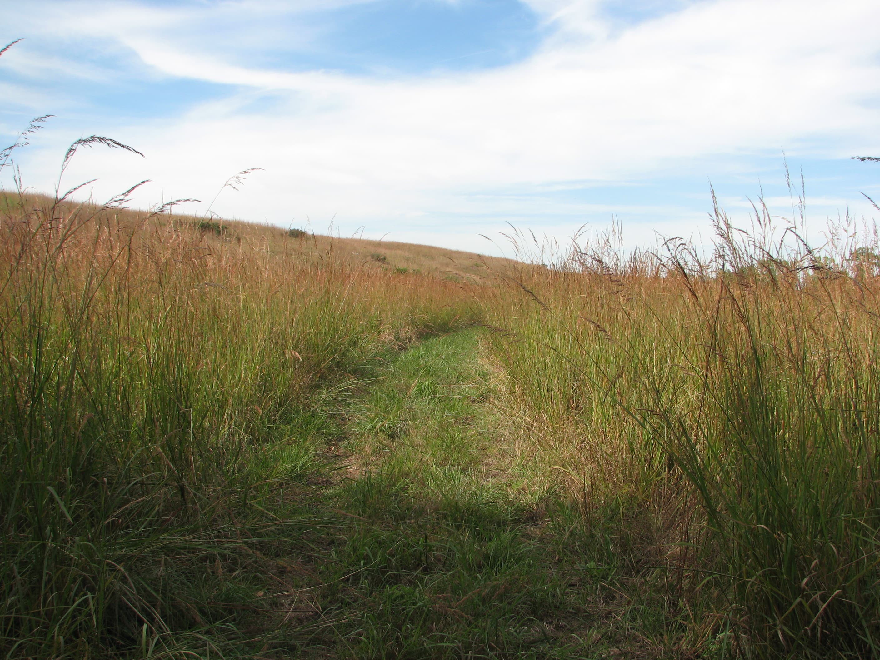
tallgrass hiking trails
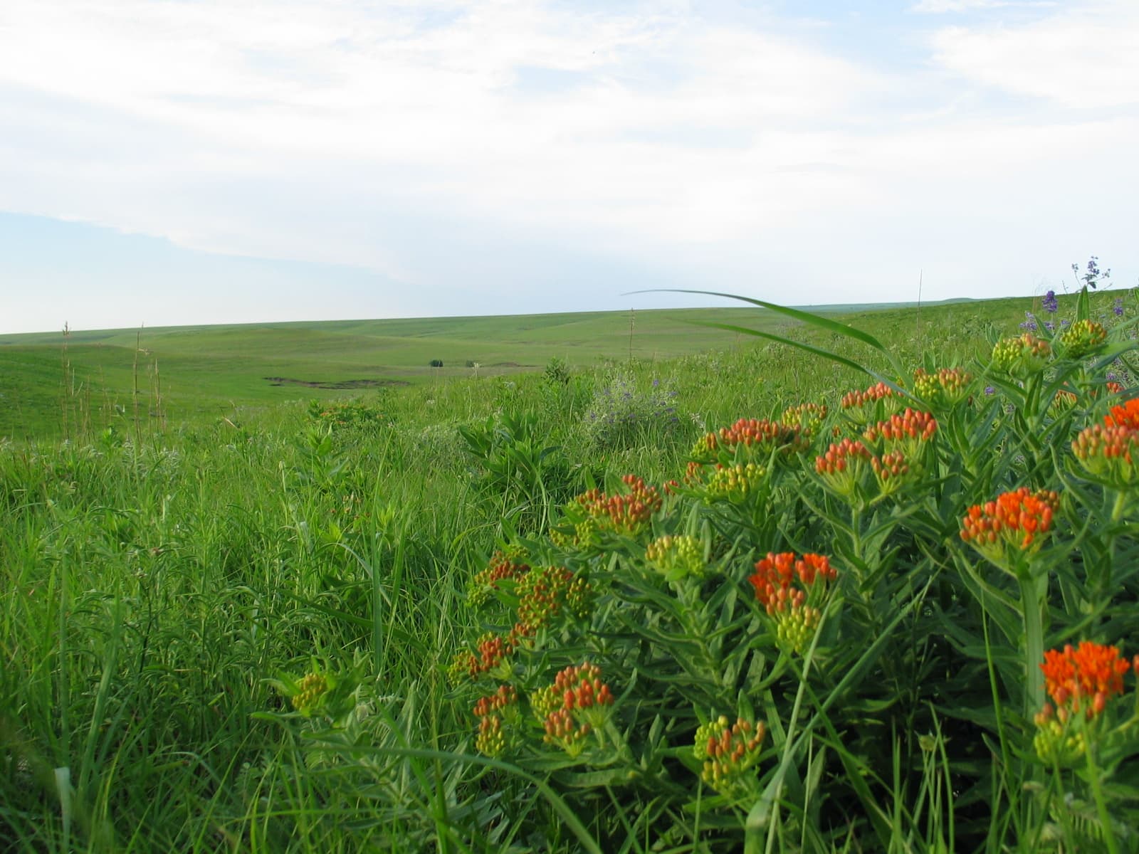
butterfly milkweed wildflowers
When to Go
Crowd CalendarPlan your trip around peak seasons to avoid crowds or embrace the energy of the busy months. Our crowd predictions are based on historical NPS Visitor Use Statistics.
Jan
Feb
Mar
Apr
May
Jun
Jul
Aug
Sep
Oct
Nov
Dec
Build your Tallgrass Prairie itinerary
Tell Miza your dates, pace, and interests—get a day-by-day plan with hikes, drives, and must-see stops.
Best Time
Year-round
Trip Length
1 day
Searching for the best hotel deals near Tallgrass Prairie National Preserve...
Planning Tallgrass Prairie
These common questions go deeper into logistics and planning. For real-time updates on road closures and current conditions, always check the Alerts section above.