
Park Hours (Today)
All Day
St. Croix River Visitor Center: 10:00AM - 5:00PM
Miza AI
Plan your Saint Croix trip
About the Park
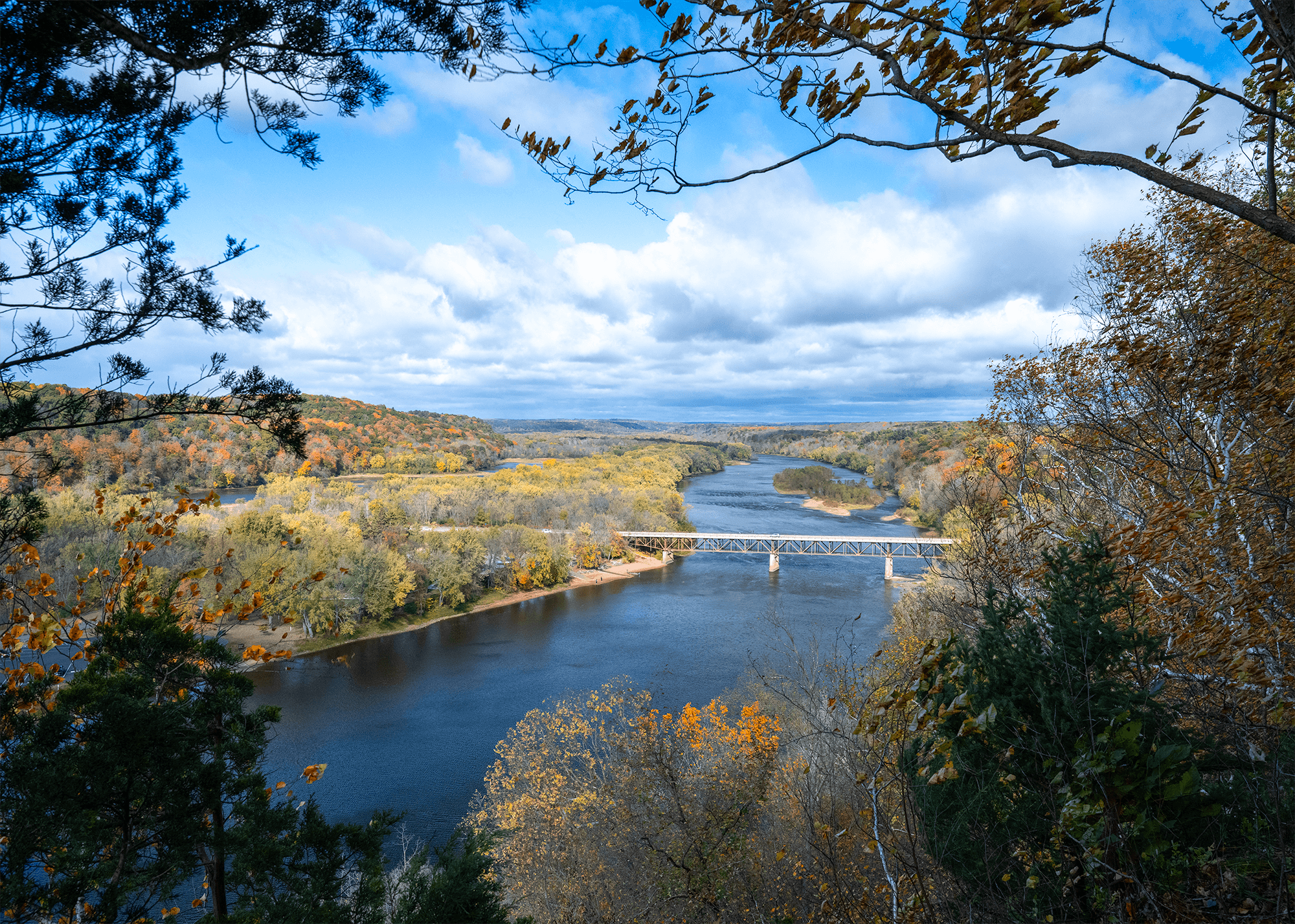
Grab your paddle and your longing for adventure and head to the St. Croix and Namekagon rivers! Together they form the St. Croix National Scenic Riverway, offering over 200 miles of clean water that glides and rushes through a forested landscape. Paddle, boat, fish, and camp among this wild and scenic beauty. Hiking and historic towns also beckon.

Ready to explore Saint Croix National Scenic Riverway?
Take the stress out of planning. Our AI will automatically sequence your stops, find the best hotels, and optimize your driving time in seconds.
What to See & Do
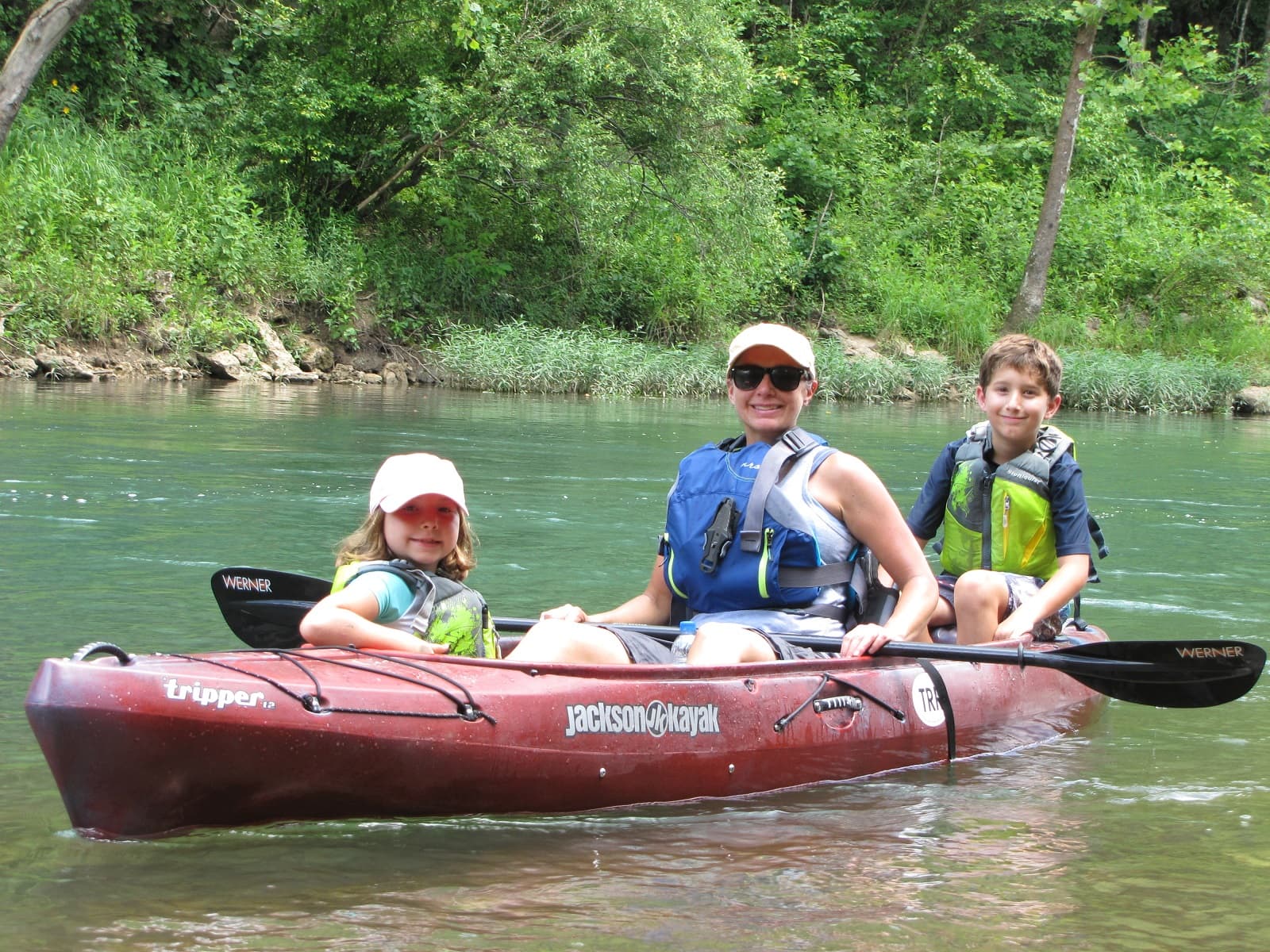
Paddling The Riverway
Paddling the rivers of the St. Croix National Scenic Riverway.
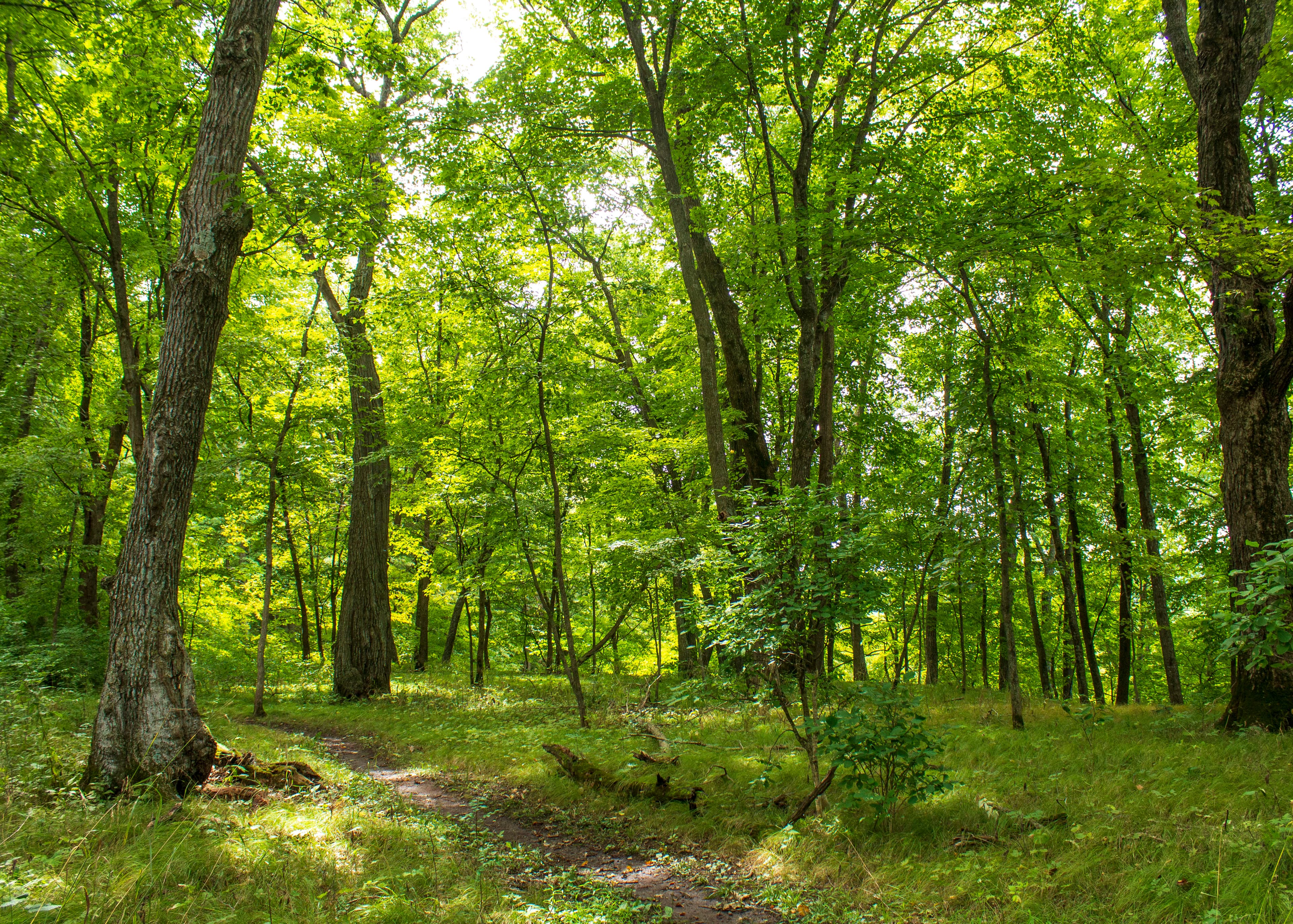
Explore the Ridge View Trail, Osceola Loop
The Osceola Loop of the Ridge View Trail winds through a dappled forest high above the St. Croix River.
Visitor Centers
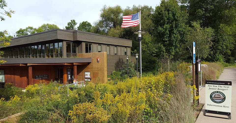
St. Croix River Visitor Center
Hours of operation are 10:00 am to 5:00 pm daily including all federal holidays. The St. Croix River Visitor Center is open seasonally, from mid-April through October. When open, visitors can view exhibits, pick up park publications, Junior Ranger booklets, and maps, and view the park film. Park rangers offer trip planning assistance for the St. Croix and Namekagon rivers. The park headquarters offices are also located in this building along the St. Croix River.
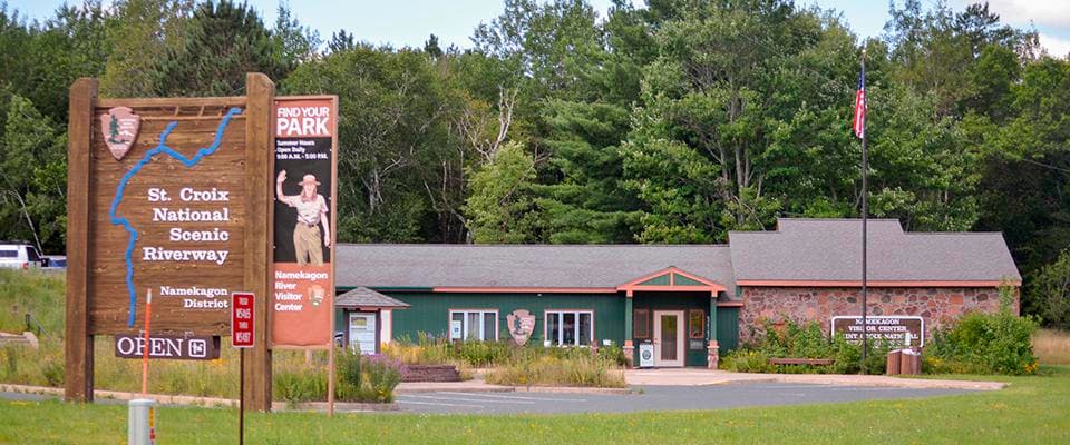
Namekagon River Visitor Center
When open, visitors can view exhibits, pick up park publications, Junior Ranger booklets, and maps, and watch the park movie. Park rangers staff an information counter and offer trip planning assistance for the Namekagon and upper St. Croix rivers. The visitor center is located near the Namekagon River off Highway 63 in Trego, WI.
Where to Stay
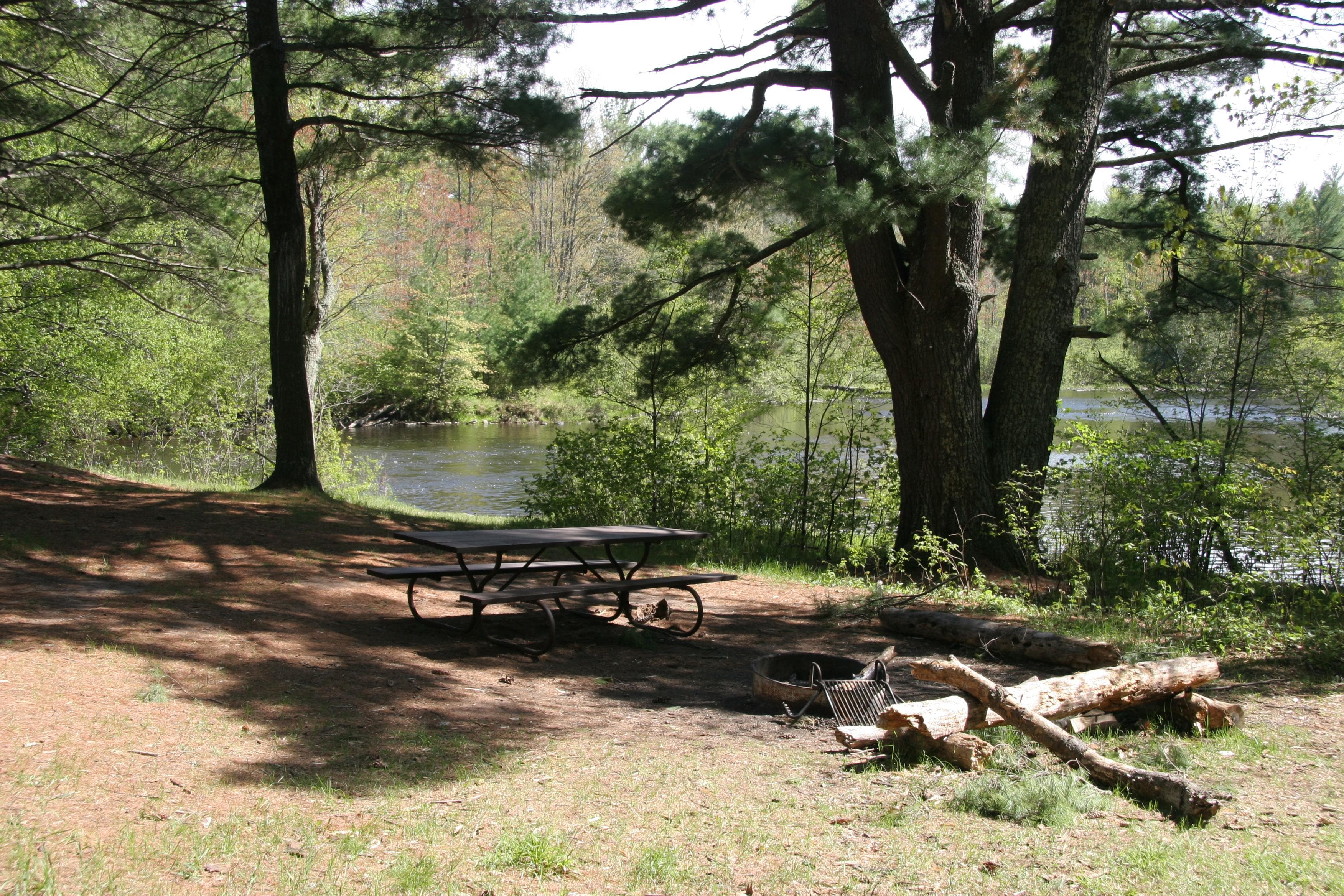
Namekagon District
67, primitive, Leave No Trace camp sites are located on the Namekagon River from Namekagon Dam to the confluence of the St Croix River and on the St. Croix River from Gordon Dam to Riverside Landing. All sites are free. No permit required. Camp only in designated sites marked with brown camping sign and metal fire ring. Sites are available first-come, first-served.
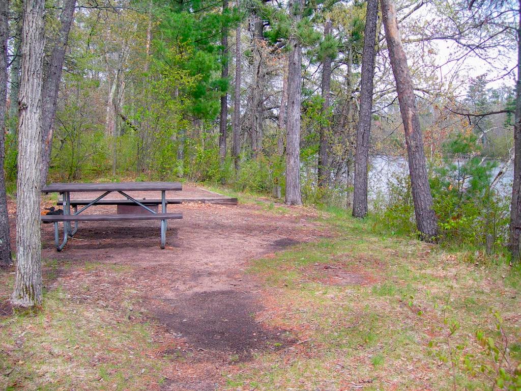
Middle St. Croix
57, primitive, Leave No Trace campsites are located on the St. Croix River from Riverside Landing to Highway 8 at St. Croix Falls - Taylors Falls. All sites are free. No permit required. Camp only in designated sites marked with brown camping sign and metal fire ring. Sites are available first-come, first-served.
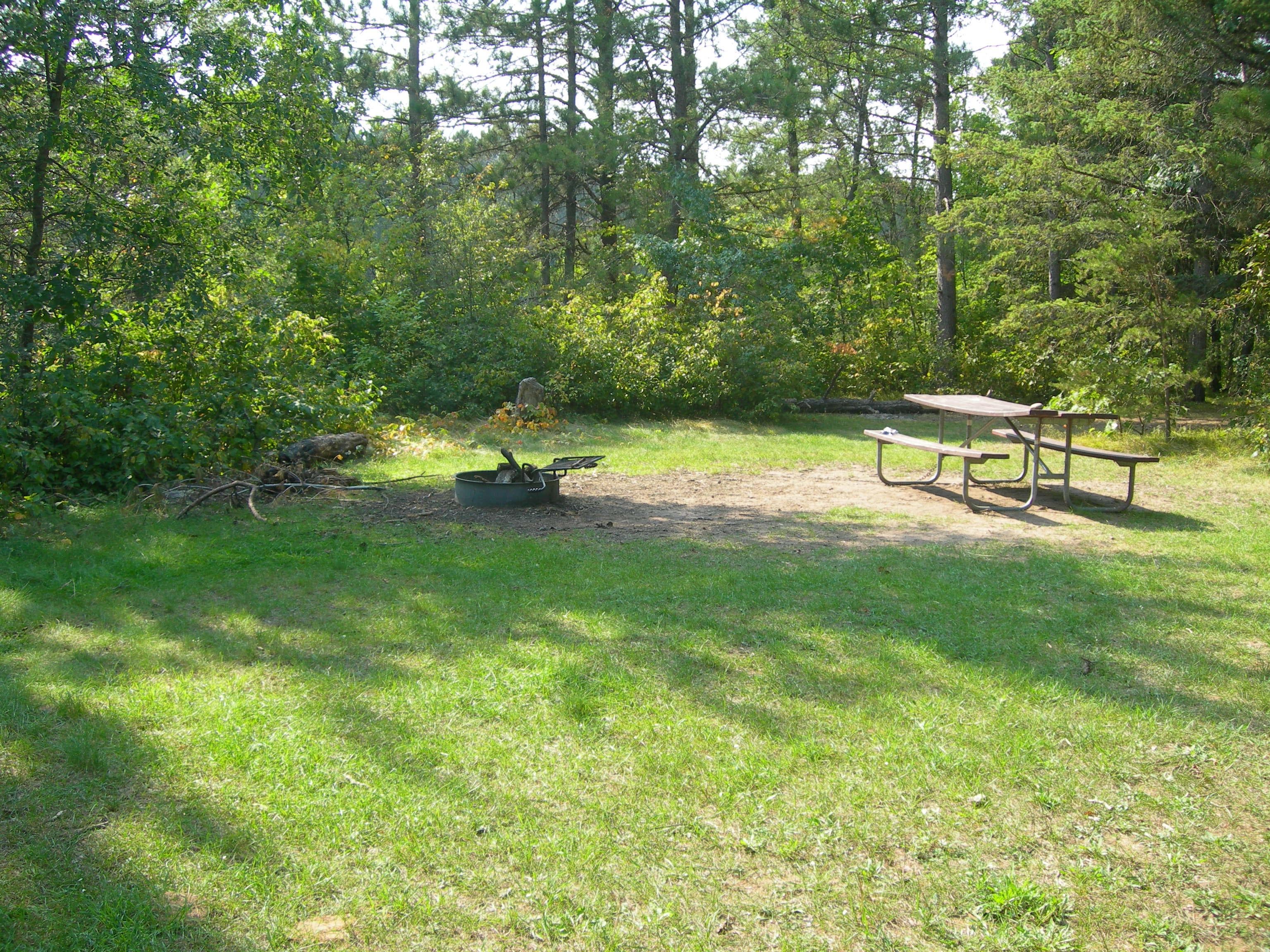
Lower St. Croix District
19, primitive, Leave No Trace campsites are located on this reach from below Highway 8 down to the Boom Site Landing near Stillwater, Minnesota. An annual camping permit is required to camp. The District also consists of Minnesota and Wisconsin state park properties with campgrounds.
Getting Here & Transit
How to Get Here
The St. Croix National Scenic Riverway stretches for over 200 miles in northwest Wisconsin and east-central Minnesota. The Namekagon River flows entirely in Wisconsin while the St. Croix River serves as a border between the two states for much of its length. With many different access points there are numerous opportunities for day trips as well as multi-day paddling adventures. Visitor centers are located on the Namekagon River in Trego, Wisconsin, and on the St. Croix River in St. Croix Falls, Wisconsin.
Park Amenities
Operating Hours
St. Croix National Scenic Riverway
The St. Croix and Namekagon rivers are open all-day, year-round except for periods of dangerous water conditions. Access to landings and trails is seasonal.
- MondayAll Day
- TuesdayAll Day
- WednesdayAll Day
- ThursdayAll Day
- FridayAll Day
- SaturdayAll Day
- SundayAll Day
Photos
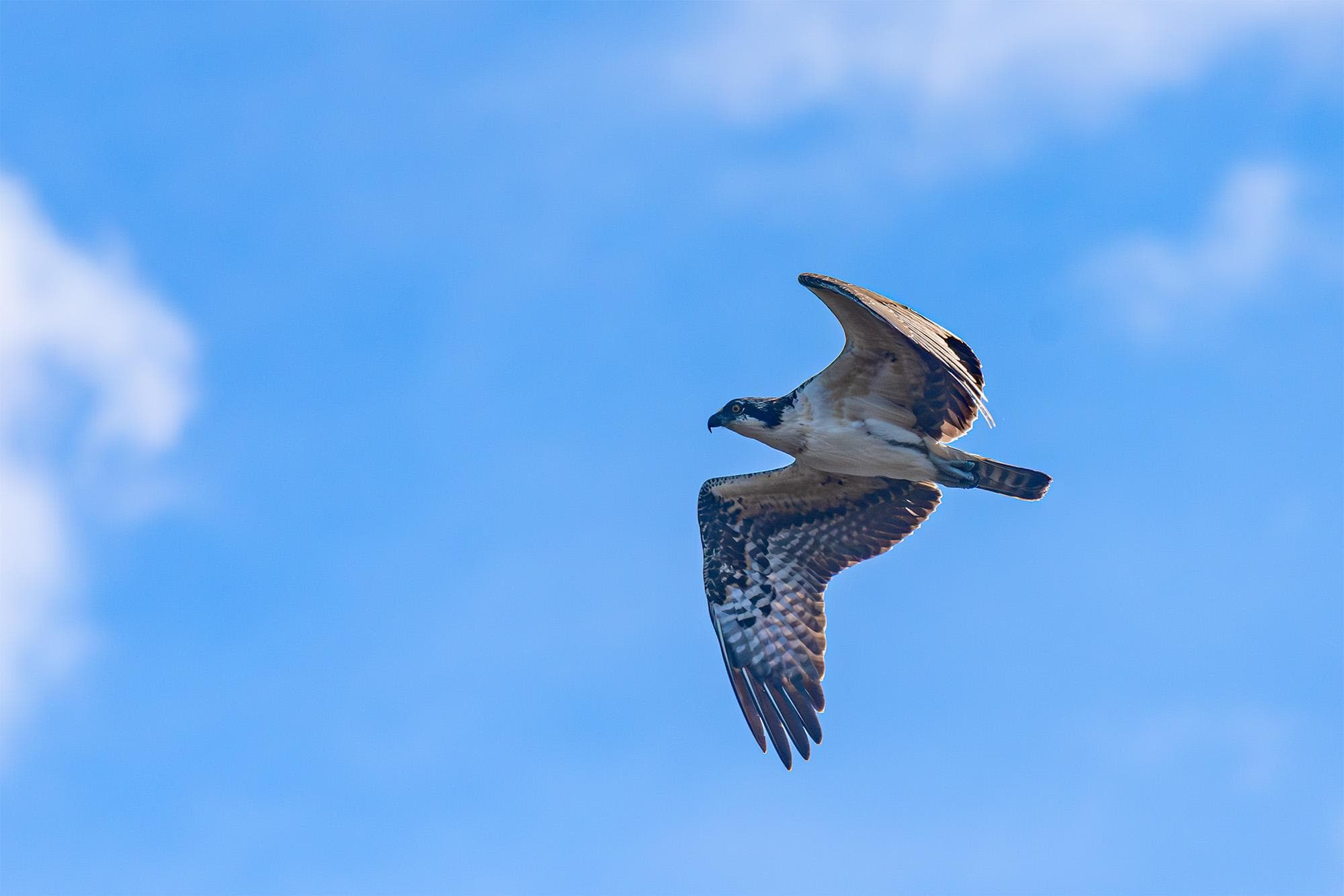
A large bird flying with partly cloudy skies beyond
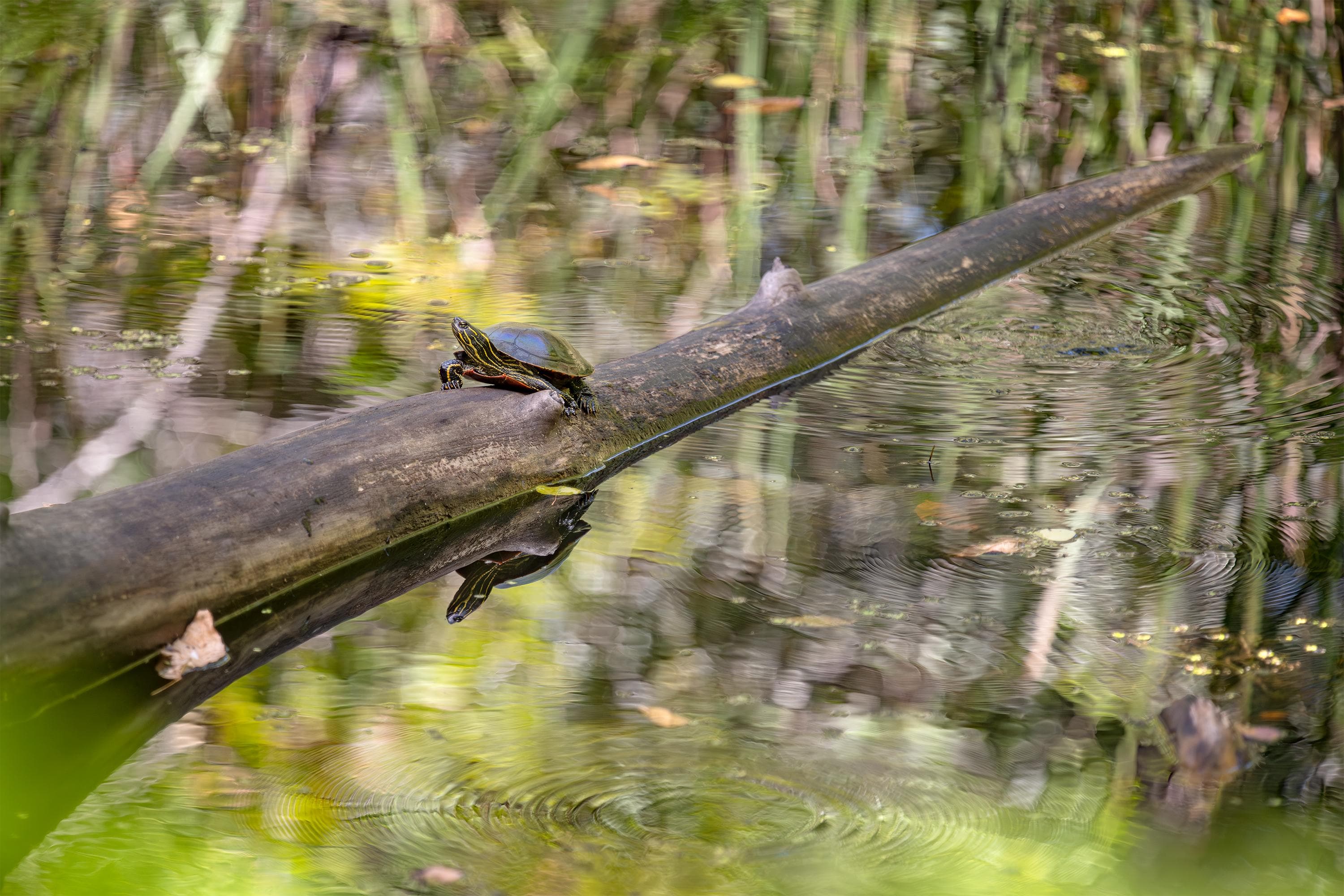
A turtle on a log protruding from calm, reflective water.
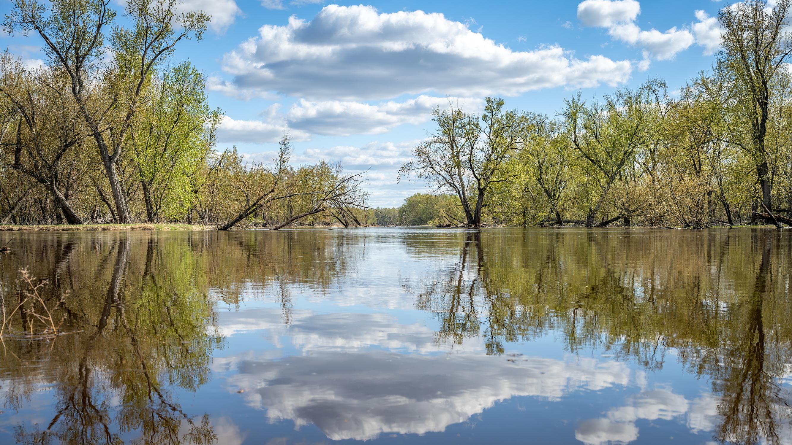
A scene of trees, clouds, and blue sky is reflected over calm water
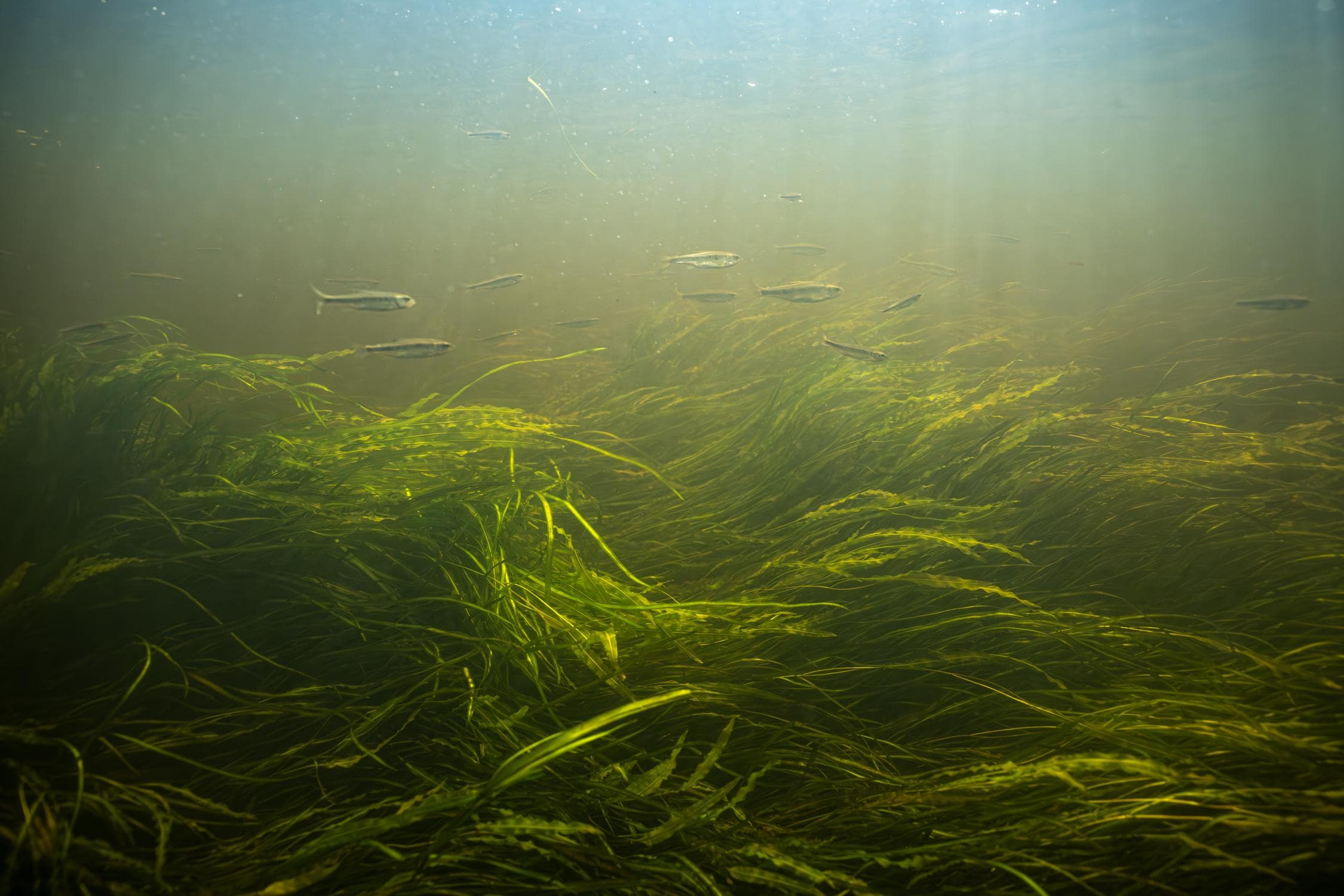
A school of minnows swimming in river grass
When to Go
Crowd CalendarPlan your trip around peak seasons to avoid crowds or embrace the energy of the busy months. Our crowd predictions are based on historical NPS Visitor Use Statistics.
Jan
Feb
Mar
Apr
May
Jun
Jul
Aug
Sep
Oct
Nov
Dec
Build your Saint Croix itinerary
Tell Miza your dates, pace, and interests—get a day-by-day plan with hikes, drives, and must-see stops.
Best Time
May-September
Trip Length
1 day
Searching for the best hotel deals near Saint Croix National Scenic Riverway...
Planning Saint Croix National Scenic Riverway
These common questions go deeper into logistics and planning. For real-time updates on road closures and current conditions, always check the Alerts section above.