
Park Hours (Today)
Opens at 6:00AM
Bear Valley Visitor Center: 9:30AM - 5:00PM
Miza AI
Plan your Point Reyes trip
About the Park
From its thunderous ocean breakers crashing against rocky headlands and expansive sand beaches to its open grasslands, brushy hillsides, and forested ridges, Point Reyes offers visitors over 1500 species of plants and animals to discover. Home to several cultures over thousands of years, the Seashore preserves a tapestry of stories and interactions of people. Point Reyes awaits your exploration.

Ready to explore Point Reyes National Seashore?
Take the stress out of planning. Our AI will automatically sequence your stops, find the best hotels, and optimize your driving time in seconds.
What to See & Do
Hike the Chimney Rock Trail
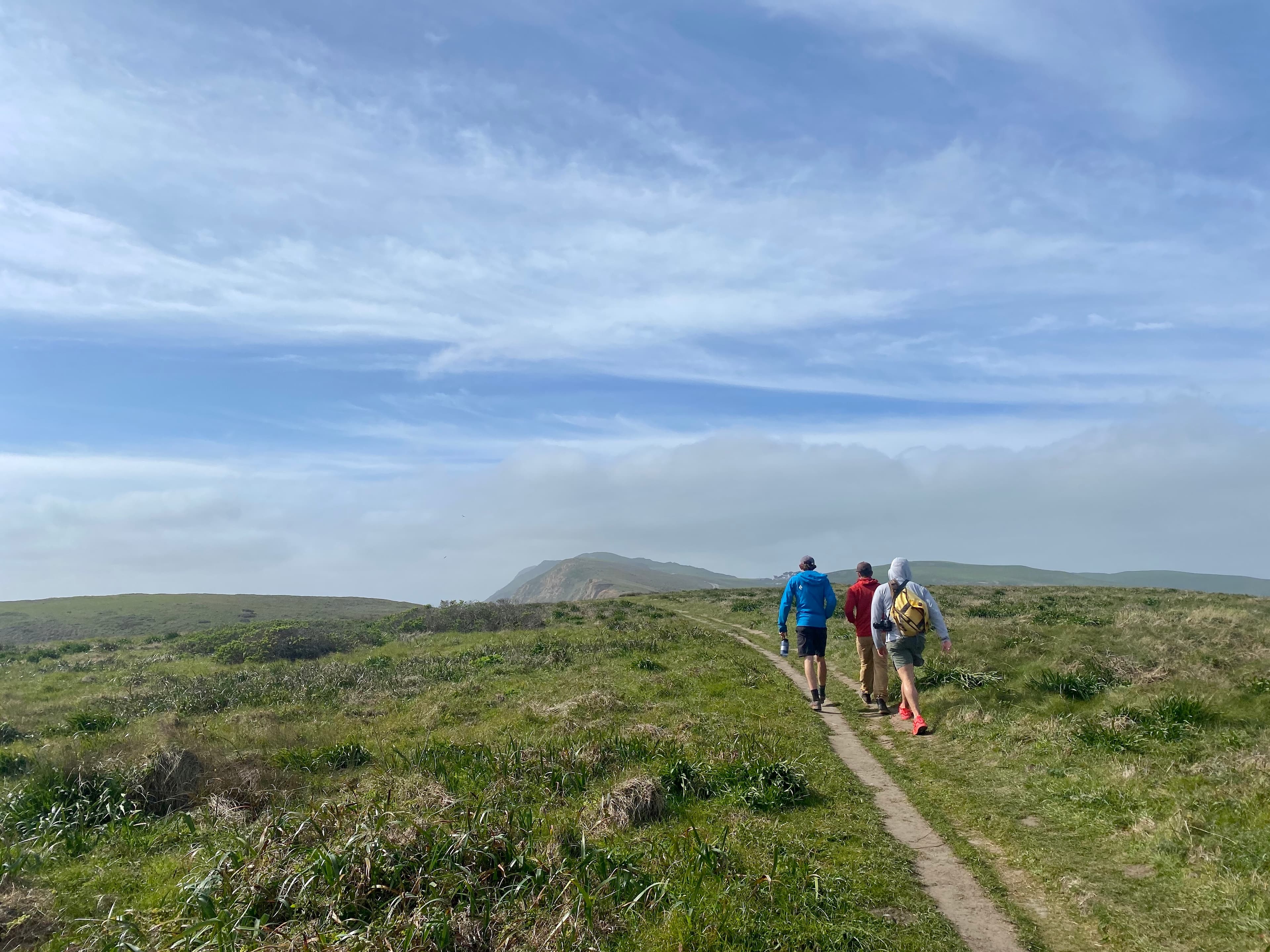
Enjoy spectacular views of Drakes Bay, the Pacific, and, in spring, wildflowers along this open coastal walk. From January through May, look for migratory whales from the point. Allow 45 minutes driving time from Bear Valley to the Chimney Rock Trailhead.
Hike the Marshall Beach Trail
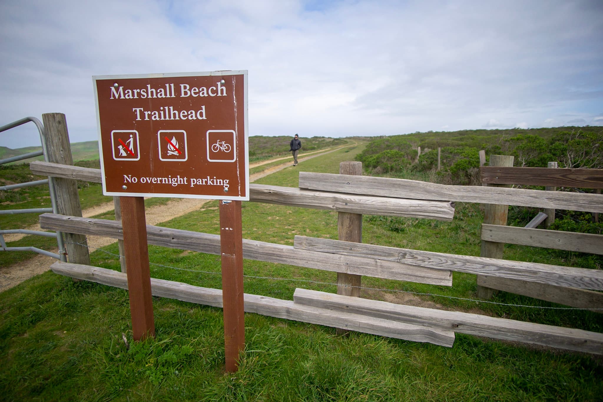
Marshall Beach is a 400-foot-long (366-meter-long) beach on the west side of Tomales Bay in the northern part of the national seashore that may be reached via the via the 1.2-mile-long (1.9-kilometer-long) Marshall Beach Trail. Allow 25 minutes driving time from Bear Valley to the Marshall Beach Trailhead.
Hike to Mount Wittenberg from Bear Valley
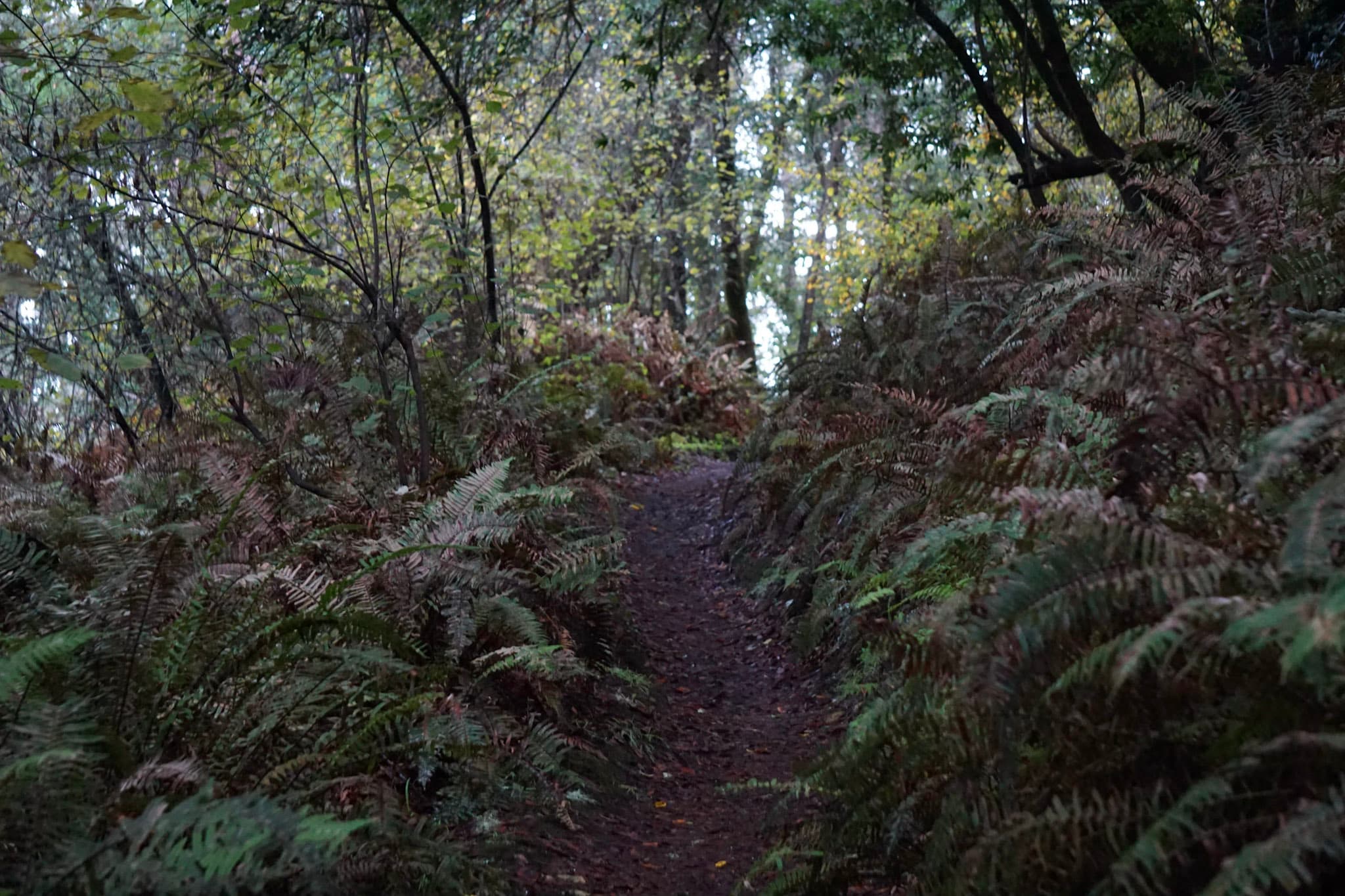
The hikes described on this page start at the Bear Valley Trailhead and feature steep 400 meter (1300 feet) climbs to Mount Wittenberg, the highest point on the Point Reyes Peninsula at 1407 feet (426 meters) in elevation. A few limited views of the ocean and Olema Valley may be enjoyed near the ridge crest. These routes pass through a dense mixed Douglas fir and oak forest and a few open meadows. These routes are also mostly within the Phillip Burton Wilderness.
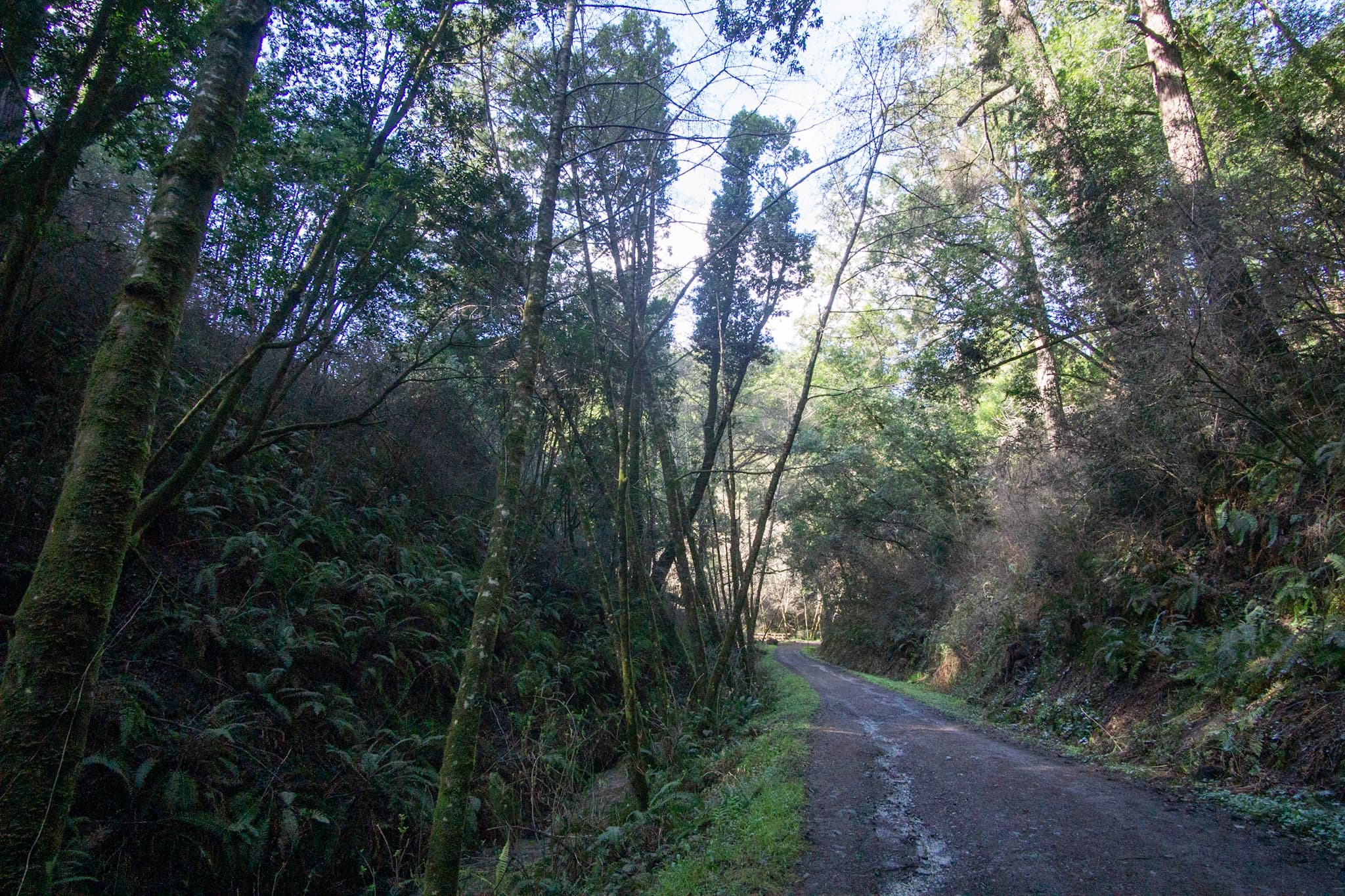
Bike the Bear Valley Trail to the Glen Trail Junction
This wide gravel trail through Douglas fir forest is great for a family cruise, a mellow ride, or the start of a multi-sport adventure! This trail begins at the Bear Valley Trailhead, at the south end of the Bear Valley Parking Lot.
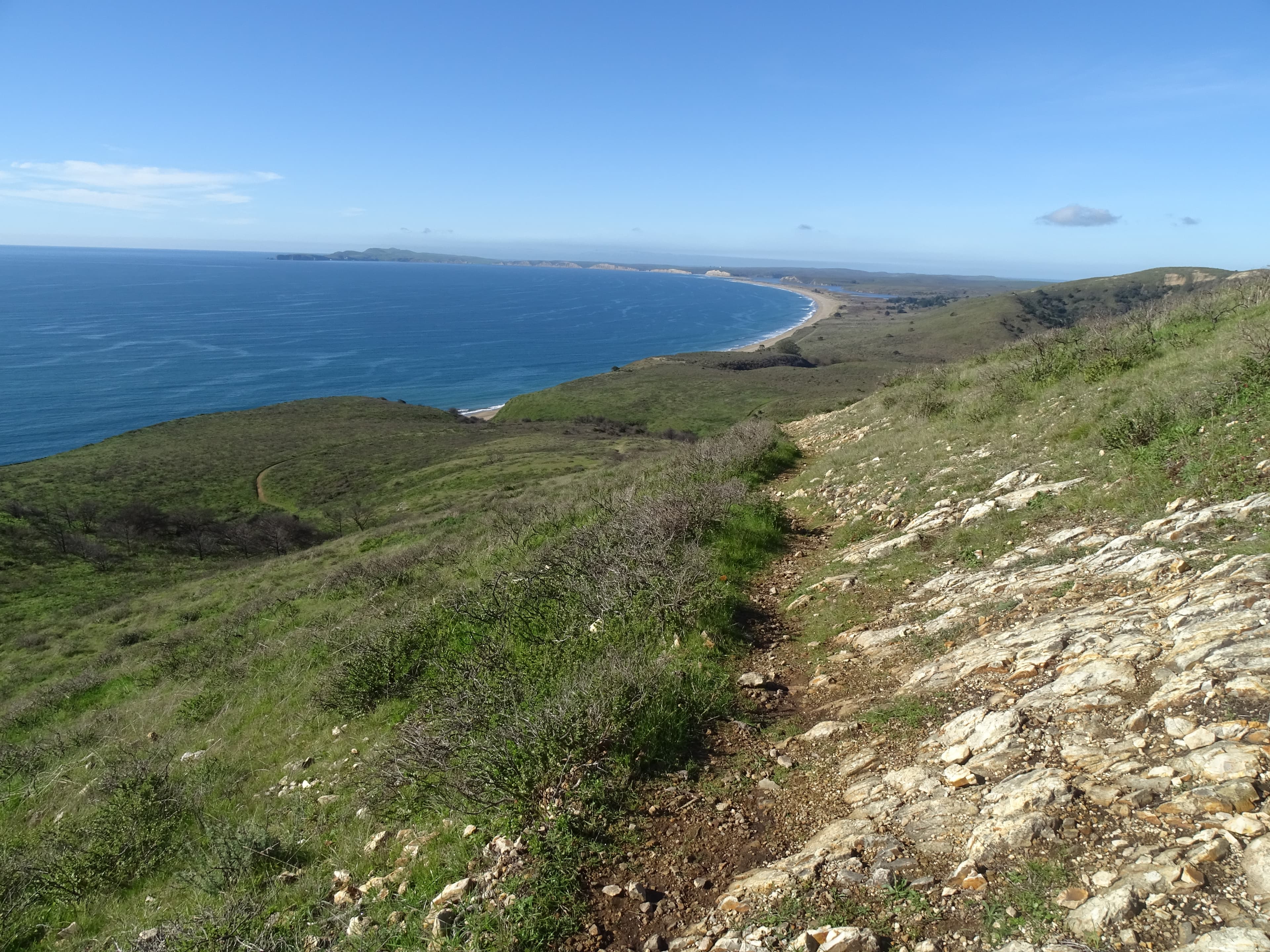
Hike the Woodward Valley Loop
Travel from forest to tidepools on this ambitious hike. This trail includes beautiful forest and spectacular coastal hiking with sweeping ocean views, though much of this area was burned in the Woodward Fire that began as lightning strikes in August of 2020. This hike starts at the Bear Valley Trailhead, at the south end of the Bear Valley Parking Lot. Most of this hike's distance is within the Phillip Burton Wilderness.
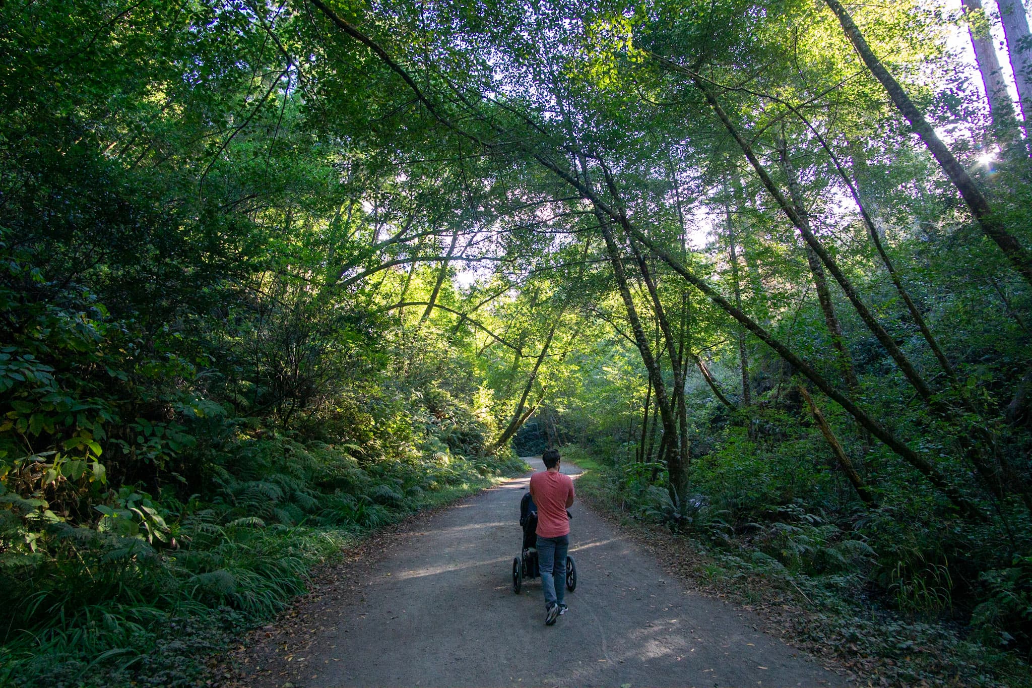
Hike to Divide Meadow
Stroll through a forest of towering Douglas fir trees and along a shaded creek on this family-friendly hike to Divide Meadow. This hike begins at the Bear Valley Trailhead, at the south end of the Bear Valley Parking Lot.
Self-Guided Tours
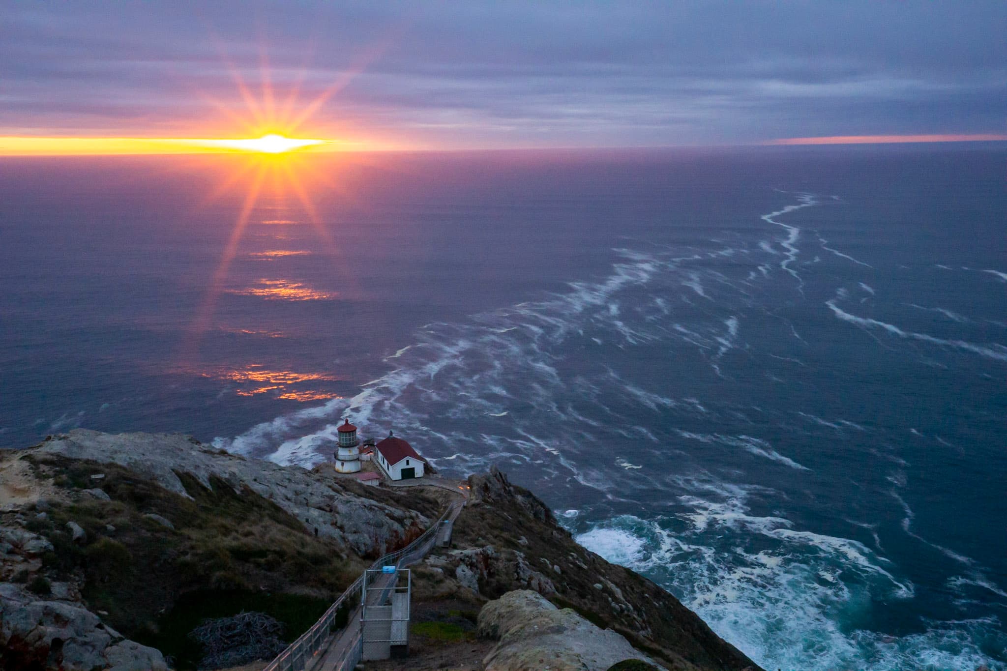
Saving Lives at the Seashore
The treacherous currents and offshore rocks here have foundered many ships. In addition, Point Reyes is one of the windiest and foggiest places on the Pacific Coast. From shipwrecks to lighthouse and harrowing tales of heroism, discover the rich maritime history of the Point Reyes area on this tour. Internet and cell service are limited; downloading the app prior to your arrival is recommended.
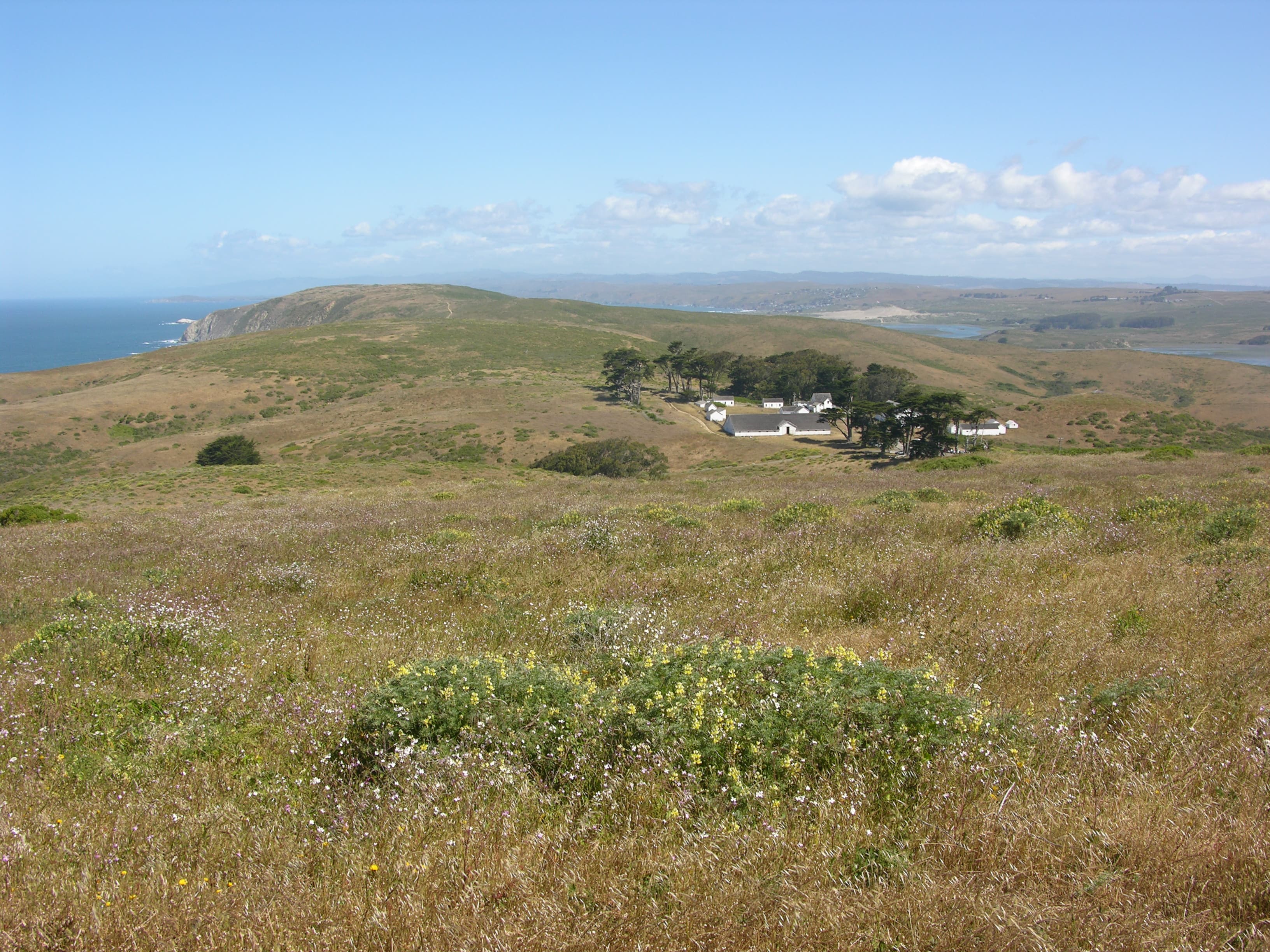
Tomales Point
Visit Tomales Point to learn about the history of a dairy ranch that was established in the 1850s, to view tule elk, to relax at an isolated and beautiful beach, and/or to take a hike through the Phillip Burton Wilderness to the northern end of Point Reyes National Seashore.
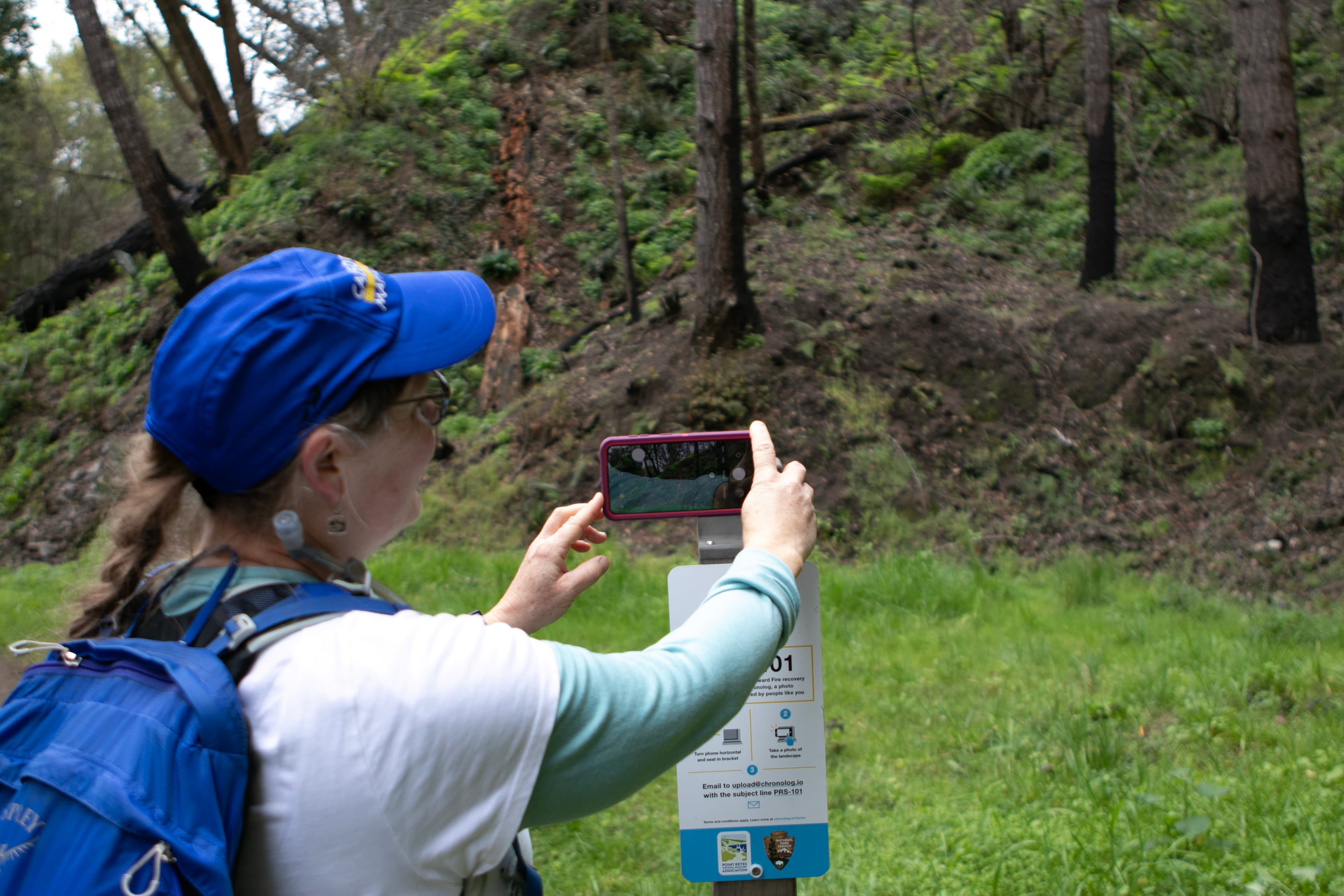
Become a Woodward Fire Trekker!
Help us monitor the recovery of Point Reyes National Seashore following 2020's Woodward Fire. Hike to one or all five monitoring sites across the park where you'll find signs instructing you on where to snap a photo. Once you email it to the listed address, you'll receive a message back with information about fire ecology and your photo included in a timelapse showing how the area has changed over time! Stop into the Bear Valley Visitor Center before heading out to pick up a trail map and plan your route.
Visitor Centers
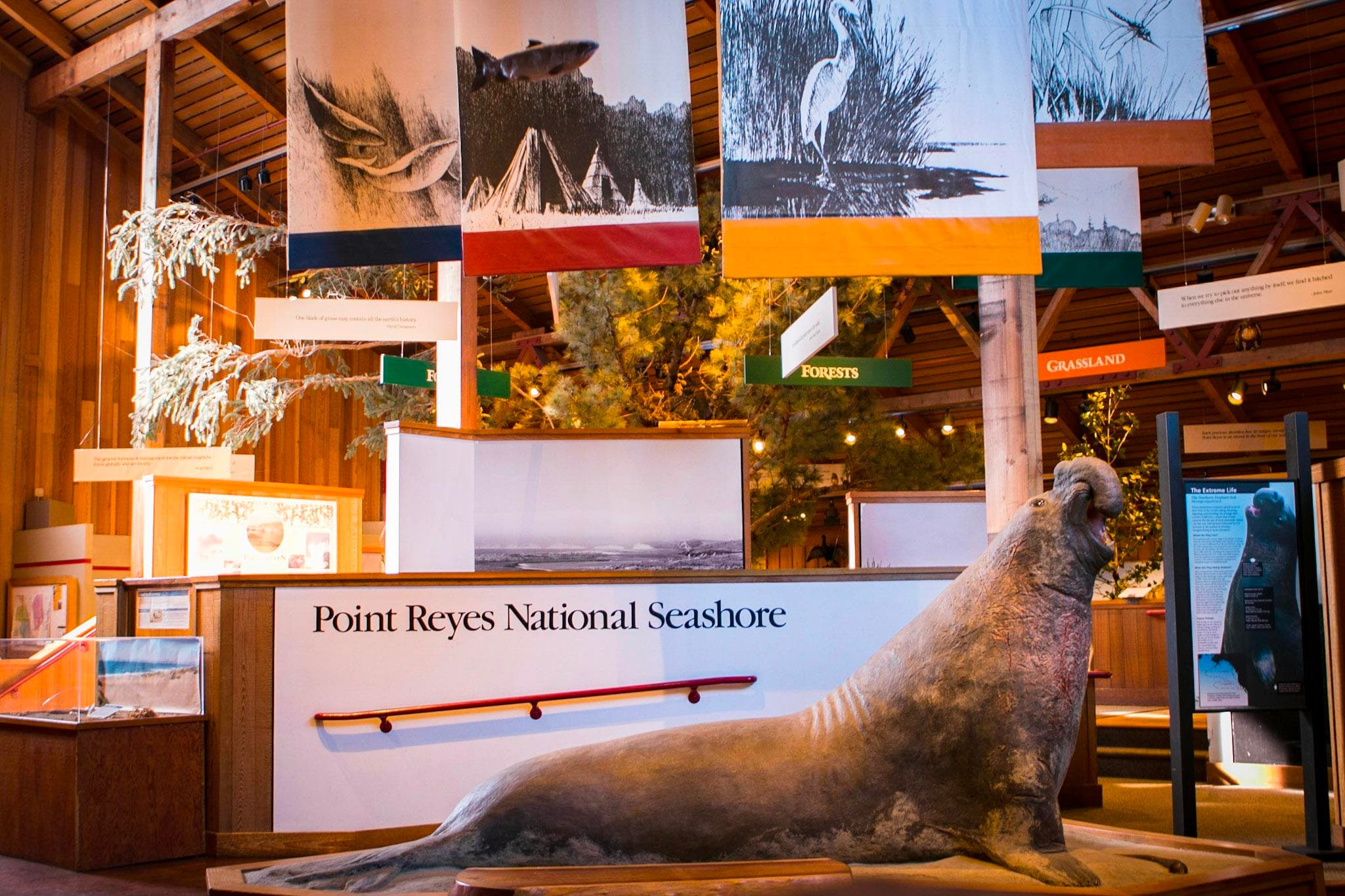
Bear Valley Visitor Center
The park's primary visitor center provides an orientation of the park's roads, trails, and human and natural history. The interior exhibit space provides a glimpse of the diverse ecosystems and cultural heritage of the park. Audio-visual programs, shown in the auditorium, are available upon request. Natural history books, cards, and posters are for sale in the bookstore. Beach fire permits may be obtained here.
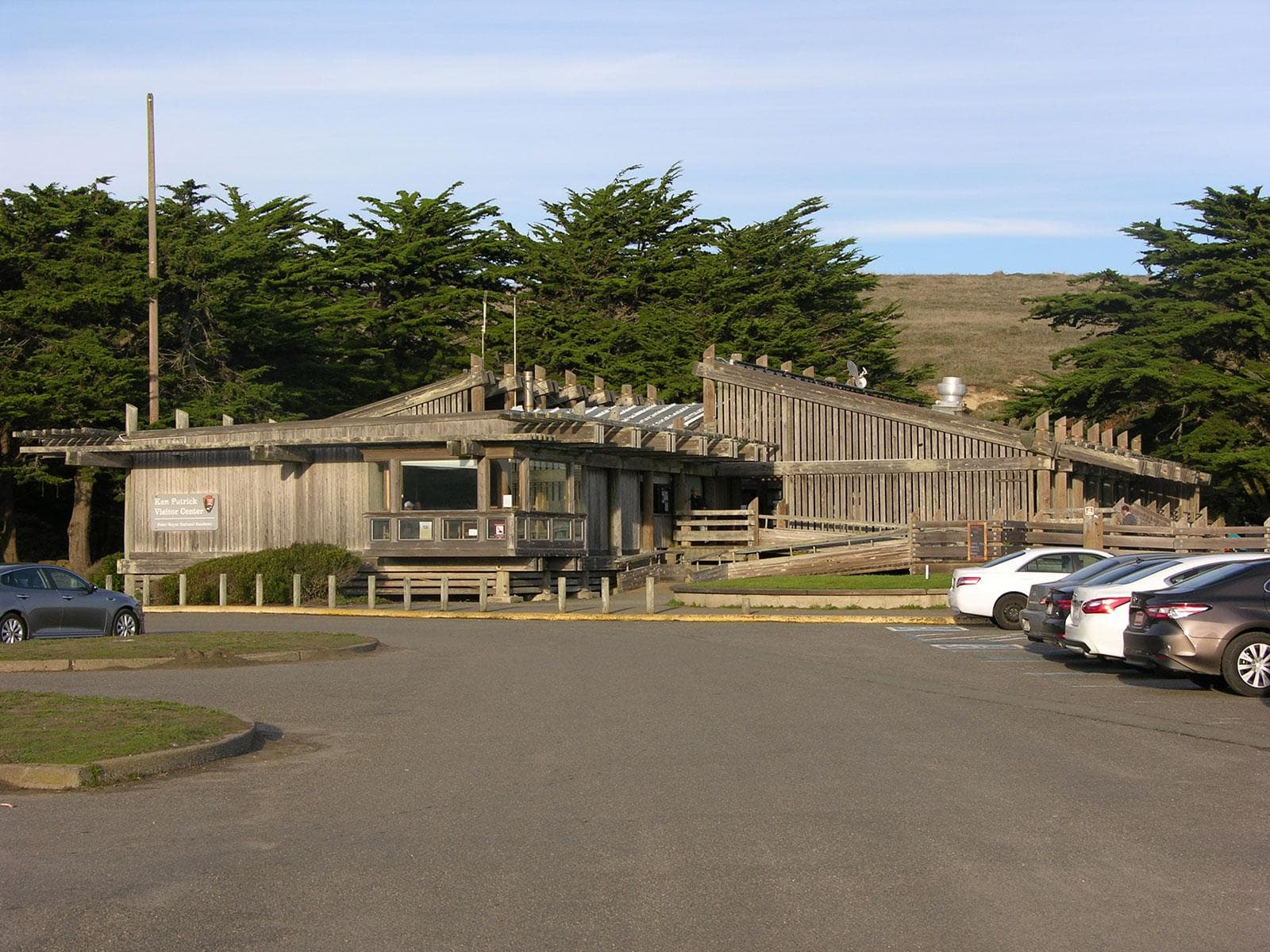
Kenneth C. Patrick Visitor Center
Located at beautiful Drakes Beach, the Kenneth C. Patrick Visitor Center contains exhibits that focus on maritime exploration in the 1500s, marine fossils, and marine environments. A minke whale skeleton is suspended from the ceiling. Allow 20–30 minutes to view exhibits. Park- and ocean-themed books, guides, and postcards, and maps, along with coffee and packaged snacks are for sale in the PRNSA bookstore adjacent to the Kenneth C. Patrick Visitor Center.
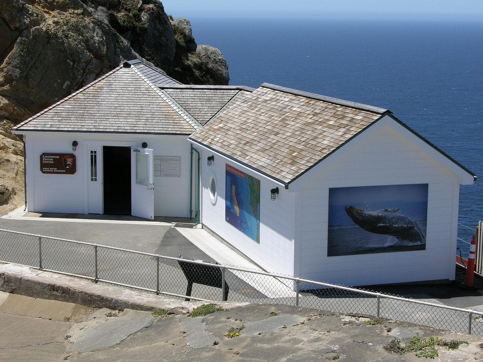
Point Reyes Lighthouse Visitor Center
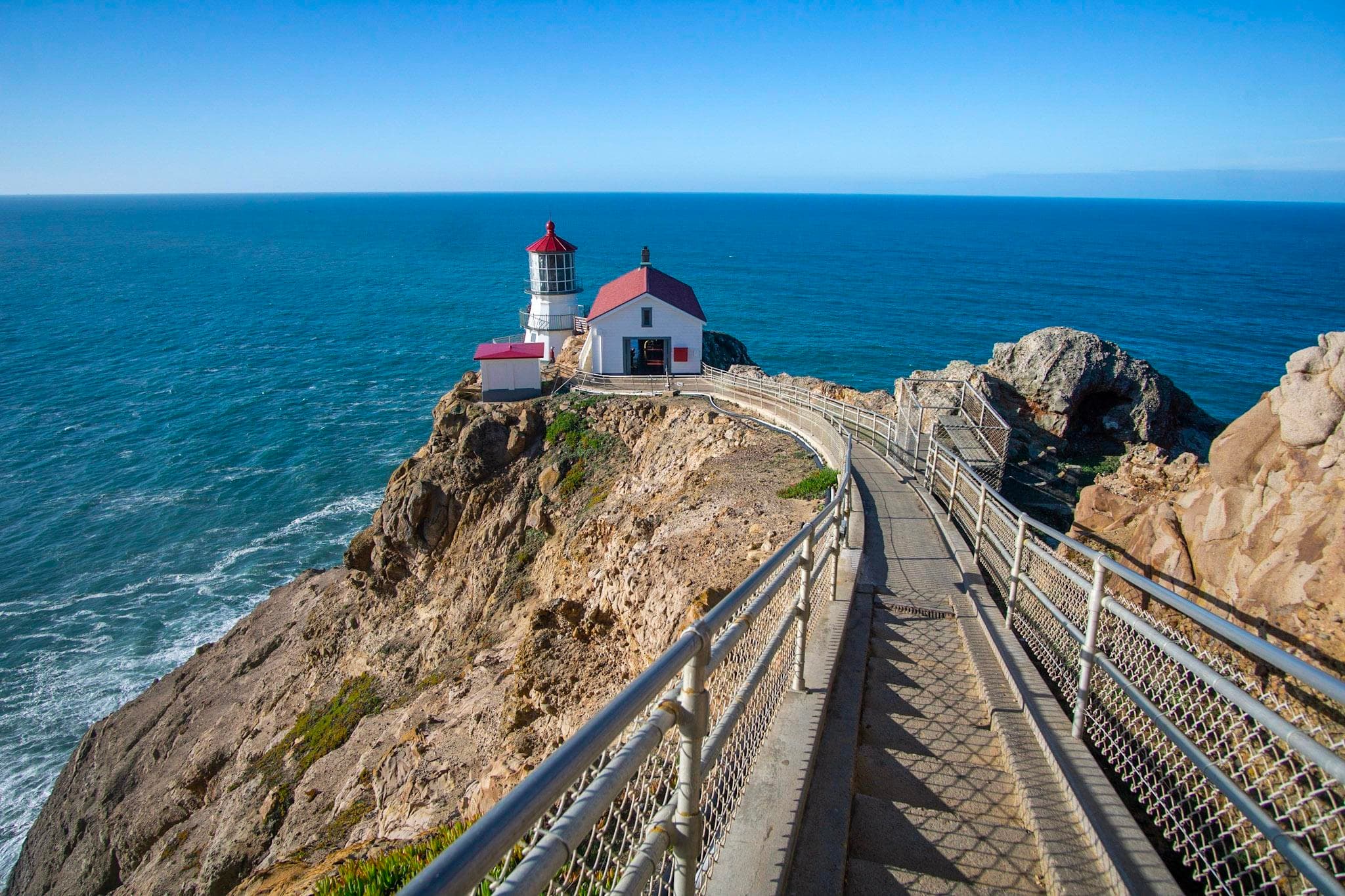
The Lighthouse Visitor Center (LHVC) offers exhibits on the Point Reyes Lighthouse, marine life, & maritime history, as well as a small bookstore. The stairs down to the lighthouse are only open when the LHVC is open and wind speeds remain below 40 mph (64km/h). The stairs are typically closed until noon on Tuesdays due to ongoing preservation work. The Observation Deck at the top of the stairs is open daily from 6 am to ~11:45 pm and offers a great view on a clear day.
Where to Stay
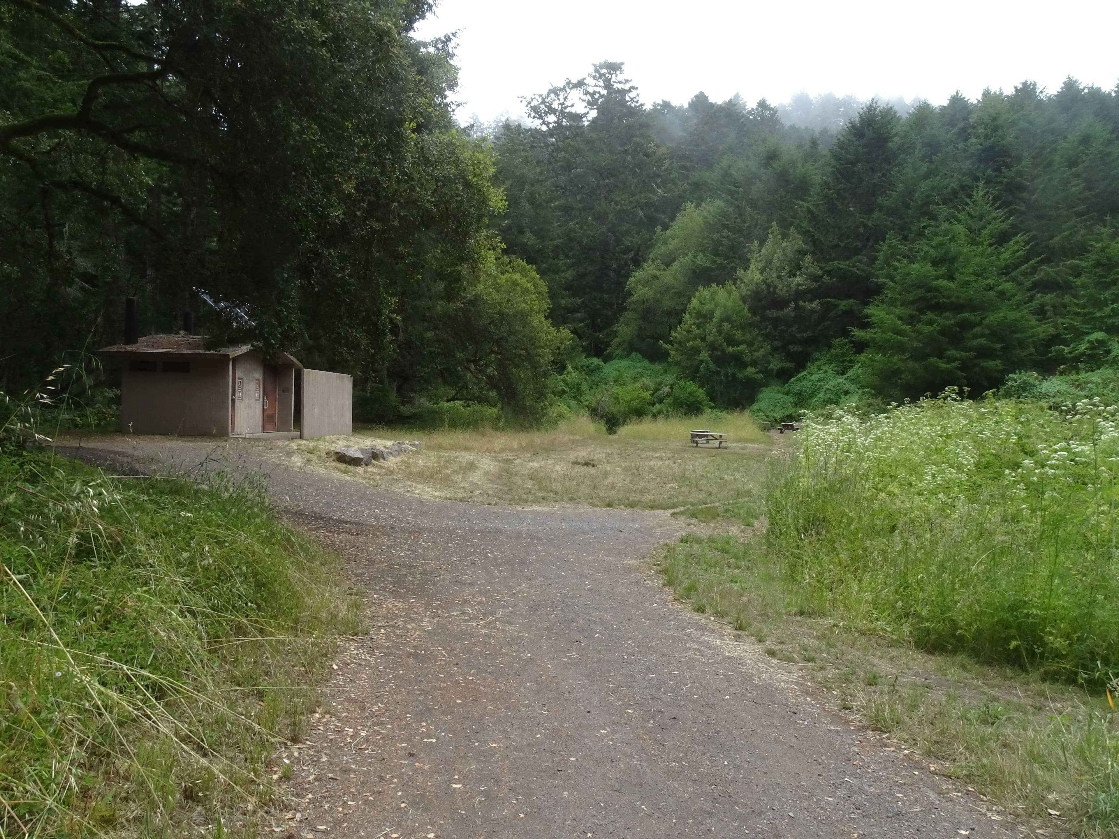
Glen Campground
Glen Campground is located deep within a wooded valley protected from ocean breezes. The closest beach is 2.5-miles away. One may access Glen Camp by foot or bicycle; not by horse, boat, auto, or RV. The shortest route to Glen Camp is via a 4.6-mile hike from the Bear Valley Trailhead. To ride a bicycle to Glen Camp start at the Five Brooks Trailhead for a 6.3-mile bike ride. No groups (parties of seven or more), horses, or pack animals are allowed. There are 12 regular (i.e., one- to six-person) sites.
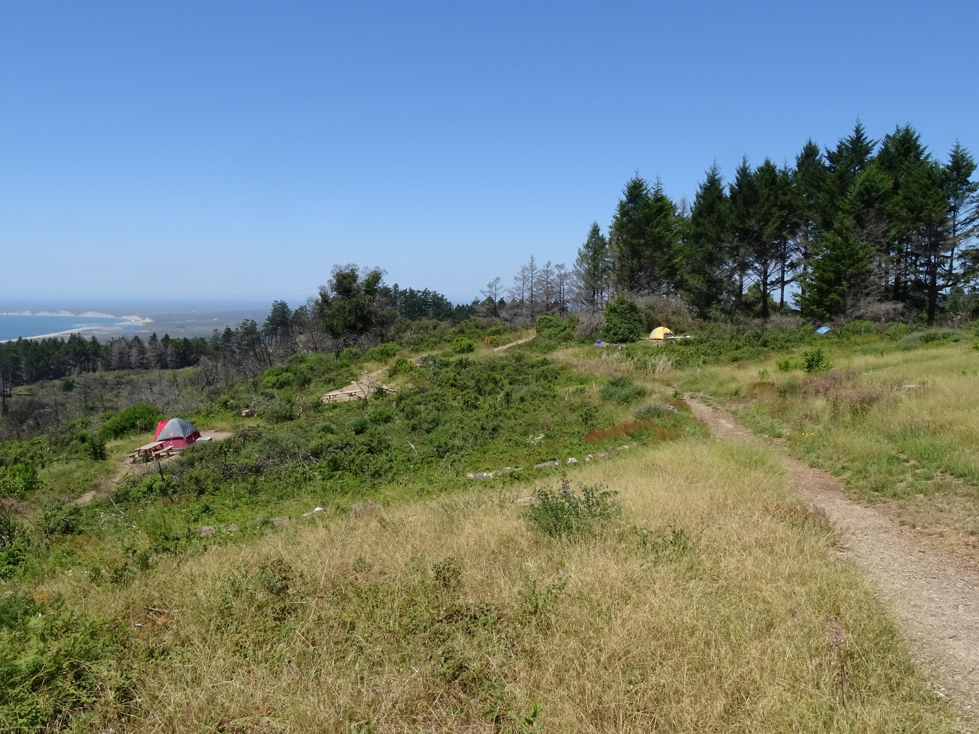
Sky Campground
Sky Campground is located on the western side of Mount Wittenberg at an elevation of 1025 feet. In clear weather, it has a sweeping view of Point Reyes, Drakes Bay, and the Pacific Ocean. One may access Sky Campground by foot, bicycle, or horse; not by boat, auto, or RV. The easiest and shortest approach is a 1.4-mile moderate uphill hike or bicycle ride from the Sky Trailhead (elevation 680 feet) via Sky Trail. There are 11 regular sites and one group site.
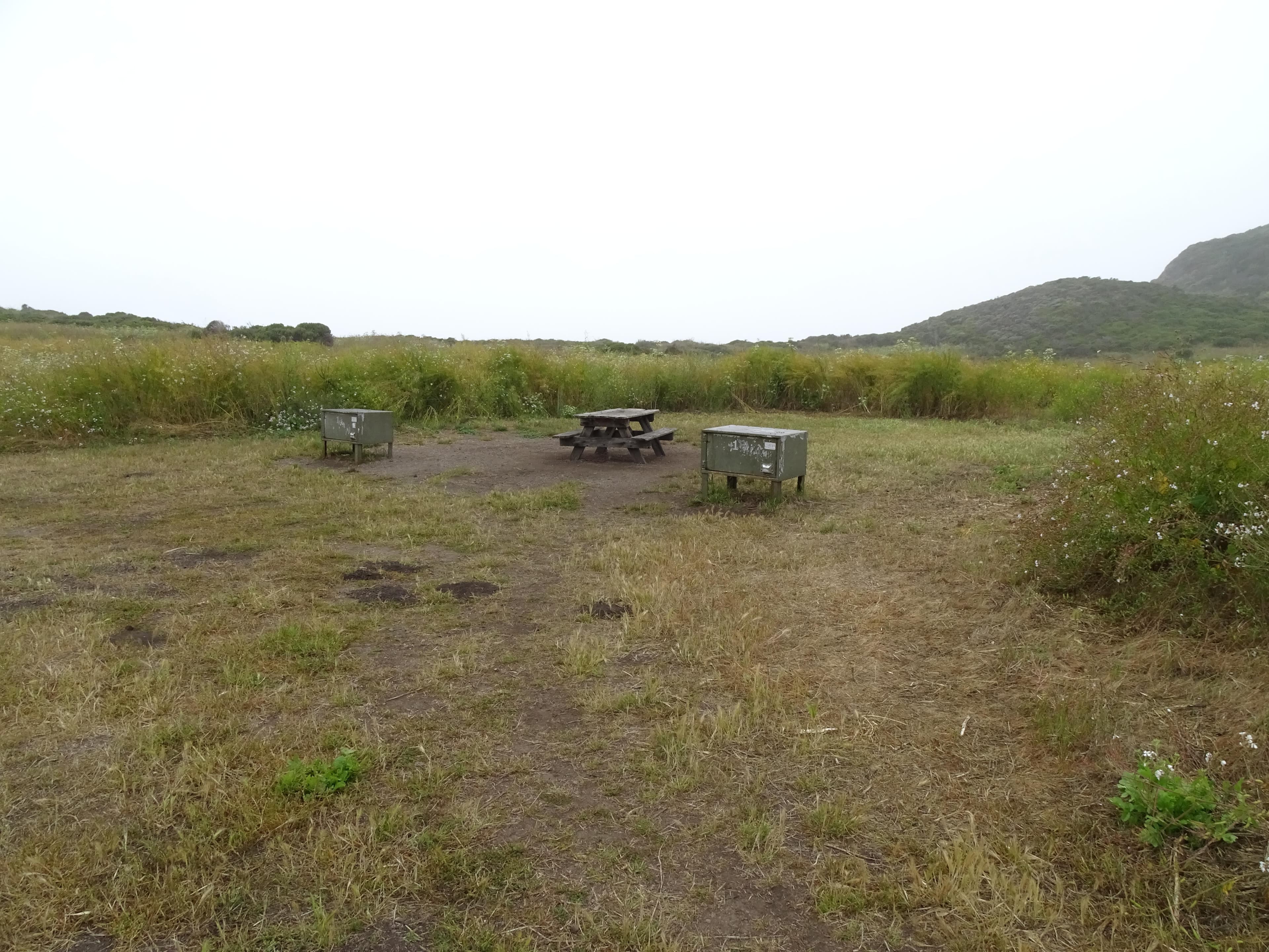
Wildcat Campground
Wildcat Campground is located in an open meadow on a bluff overlooking the ocean with a short walk to the beach. One may access Wildcat Campground by foot, bicycle, or horse; not by boat, auto, or RV. It is a 6.3-mile hike from Bear Valley Trailhead or a 5.5-mile hike from the Palomarin Trailhead. The only bicycling route is via a strenuous 6.7-mile ride along the Stewart Trail from the Five Brooks Trailhead. There are five regular (1- to 6-person) sites and three group (7- to 25-person) sites.
Coast Campground
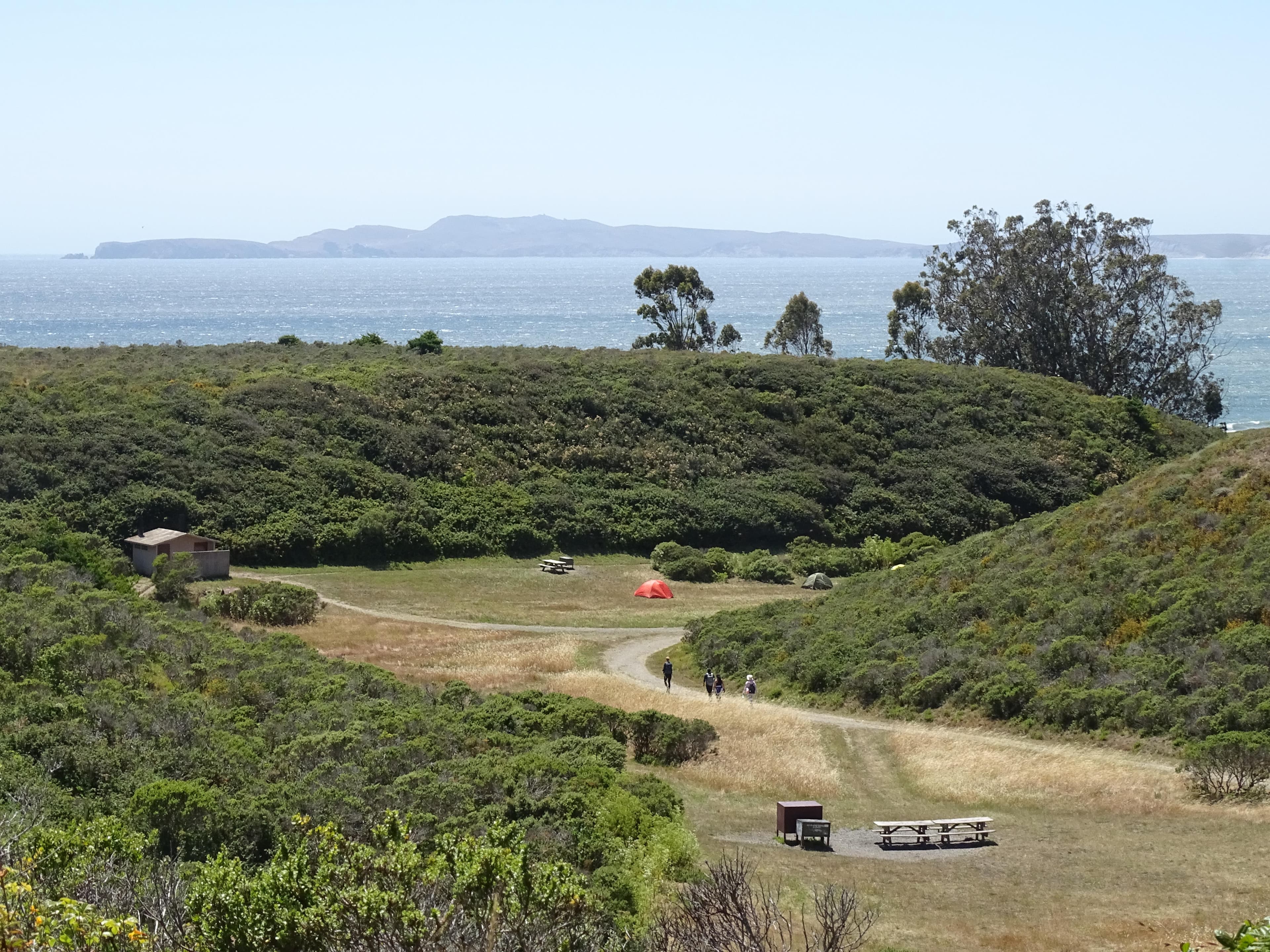
Coast Campground is nestled within a small coastal valley with easy access to the beach and tidepools. The beach is within 220 yards of the campground & tidepools are located ~720 yards to the southeast. One may access Coast Campground by foot, bicycle, or horse; not by boat, auto, or RV. The shortest approach on solid ground is via the 1.8-mile slightly uphill hike on the Laguna & Fire Lane Trails, starting at the Laguna Trailhead just east of Limantour Lodge. There are 12 regular sites & two group sites.
Tomales Bay Boat-in Camping
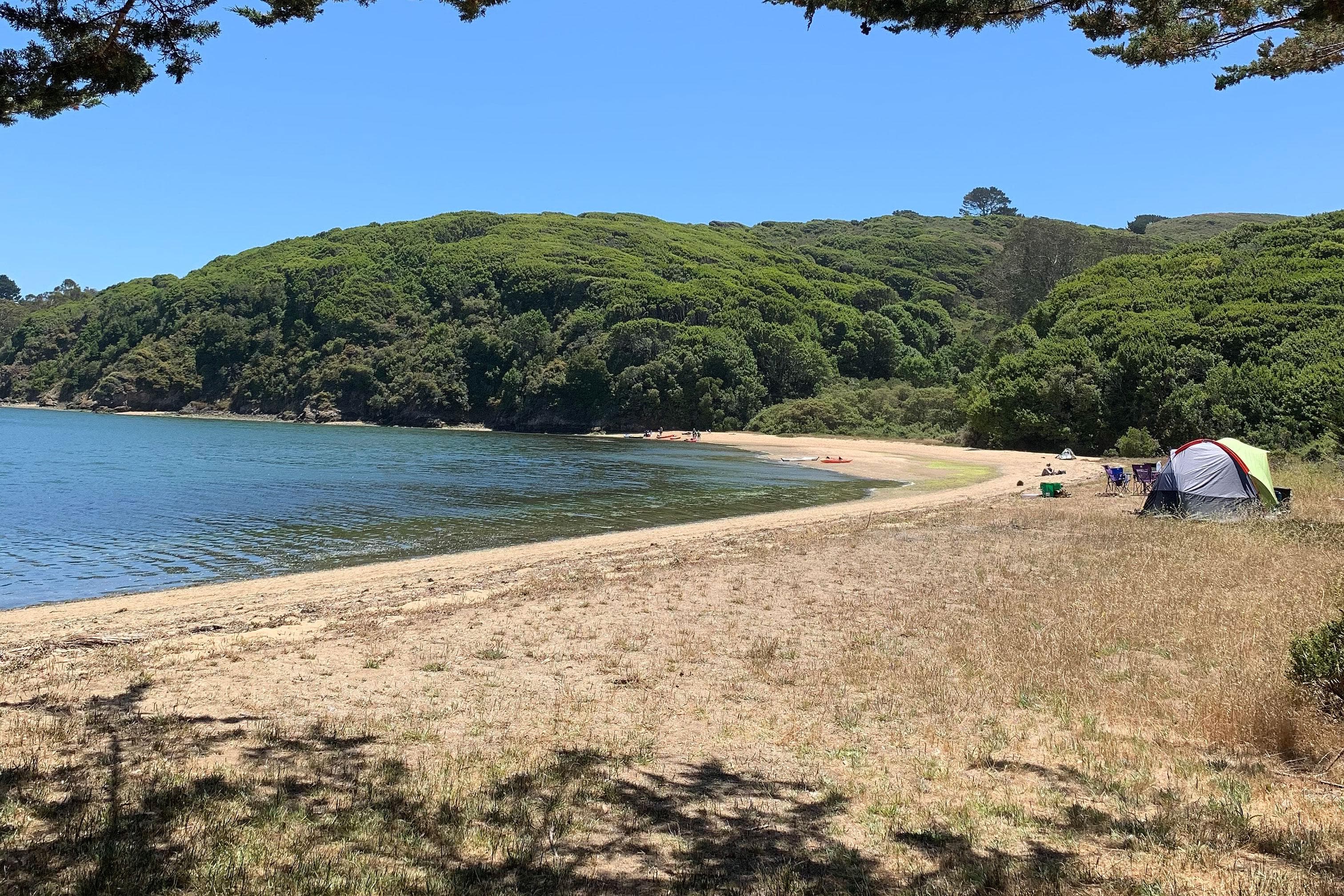
Tomales Bay boat-in camping is allowed on west-side National Park beaches north of Tomales Bay State Park's northern border (i.e., north of Indian Beach and Duck Cove). These beaches are tidally influenced and generally are small sandy coves backed against steep cliffs. Campers on Tomales Bay beaches must arrive by boat and may not hike, bike, or ride horses to the beaches. Twenty permits are available each day—9 for parties of 1 to 6 people, 8 for parties of 7 to 14, and 3 for parties of 15 to 25.
Parking & Access
Getting Here
Point Reyes is located along the west coast of California approximately 30 miles (50 km) north of San Francisco. Travelers may approach the park from the winding scenic Highway 1, either from the north or the south. Visitors can also reach the park via Sir Francis Drake Boulevard or the Point Reyes/Petaluma Road.
Official NPS directionsParking Lots
Abbotts Lagoon Trailhead Parking Lot
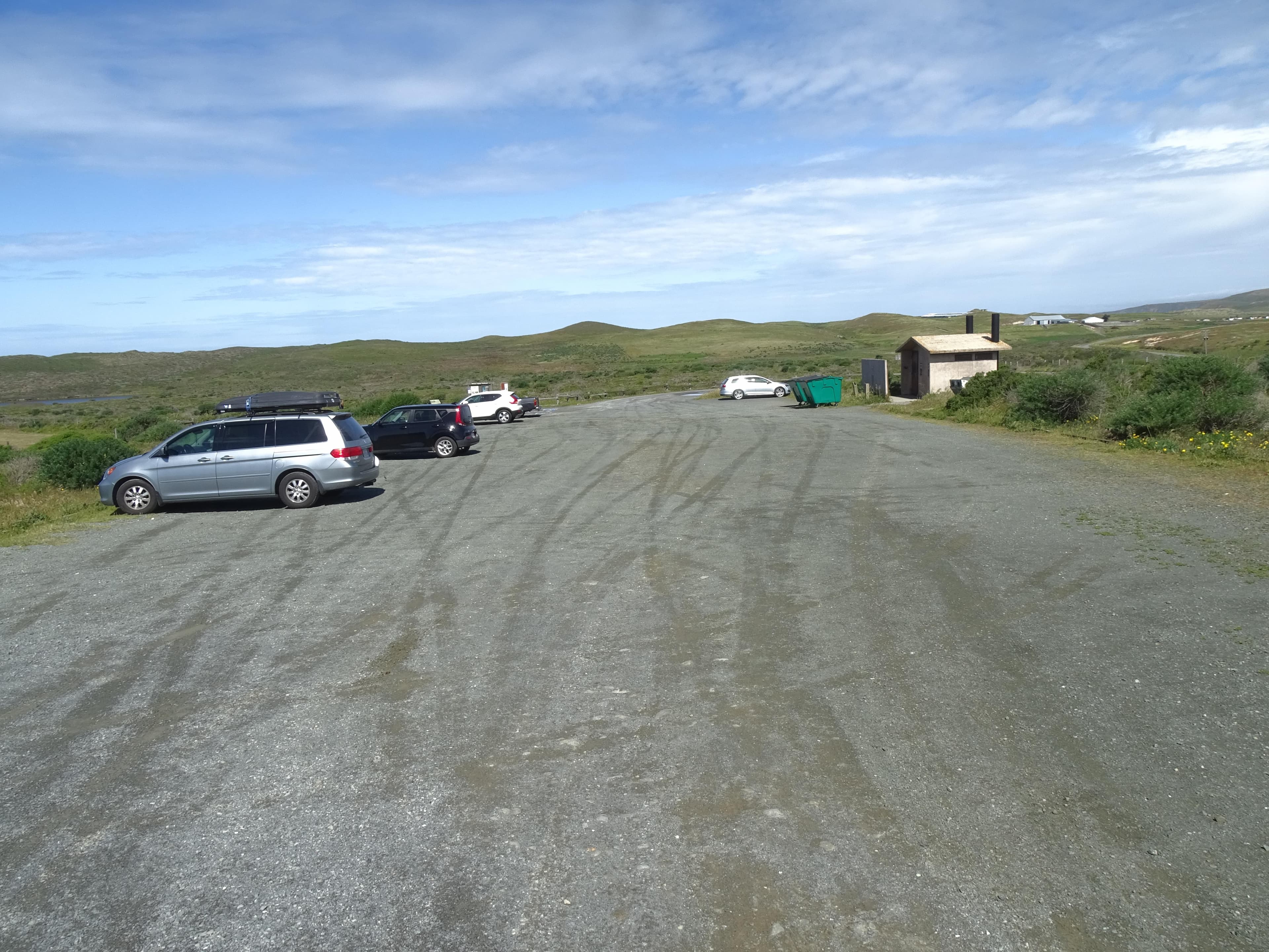
The Abbotts Lagoon Trailhead Parking Lot is a dirt/gravel parking lot that can accommodate ~40 vehicles. The Abbotts Lagoon Trailhead is at the northwest corner of the lot. A vault toilet building and litter and recycling receptacles are located along the east side of the lot. The Abbotts Lagoon Trailhead Parking Lot is approximately 25 minutes by car from the Bear Valley Visitor Center via Sir Francis Drake Boulevard and Pierce Point Road.
Open in Maps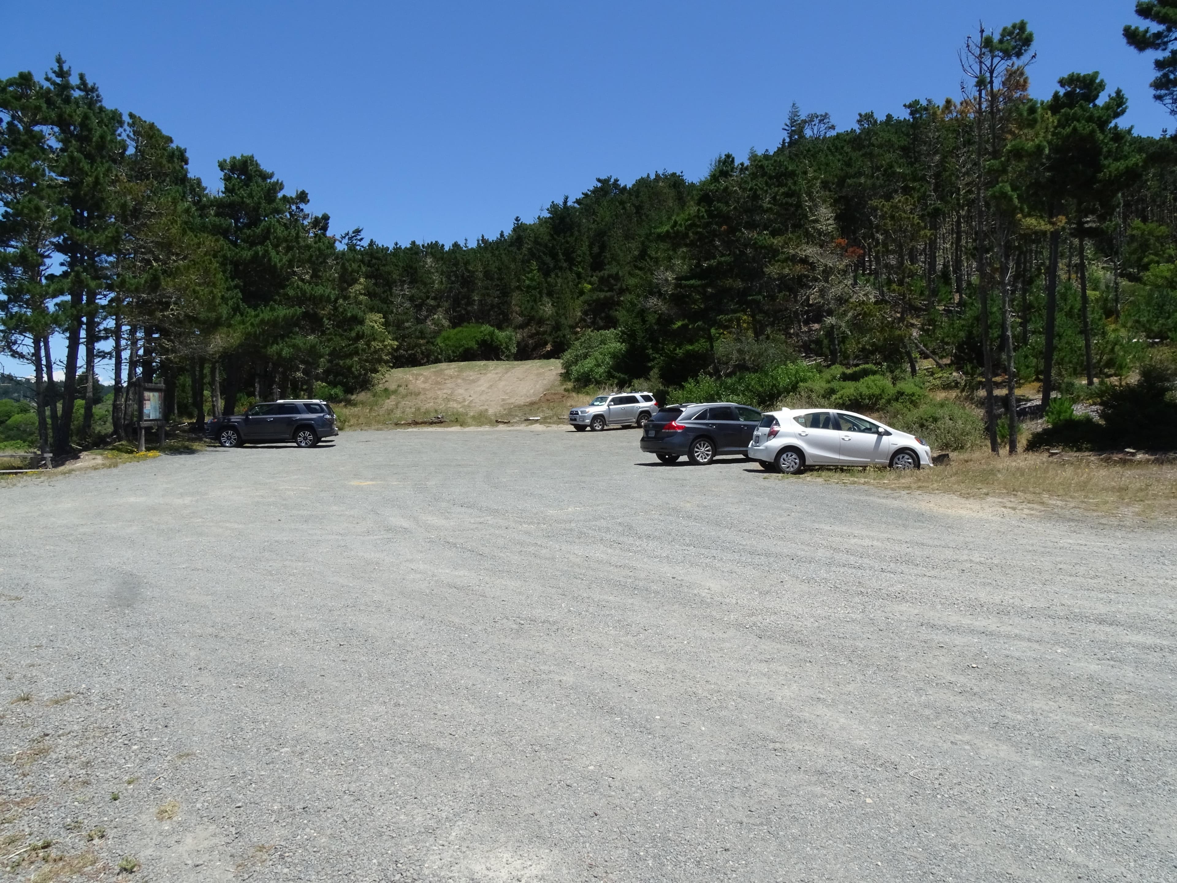
Bayview Trailhead Parking Lot
The Bayview Trailhead Parking Lot is a small dirt parking lot with space for ~20 vehicles on the north side of Limantour Road 4.4 miles (7 km) from Bear Valley Road. The Bayview Trail crosses Limantour Road at this location and the Inverness Ridge Trail heads north from the parking lot's western end. The Bayview Trailhead Parking Lot is approximately 12 minutes by car from the Bear Valley Visitor Center. A bulletin board with information about the 1995 Vision Fire is located along the lot's north side.
Open in Maps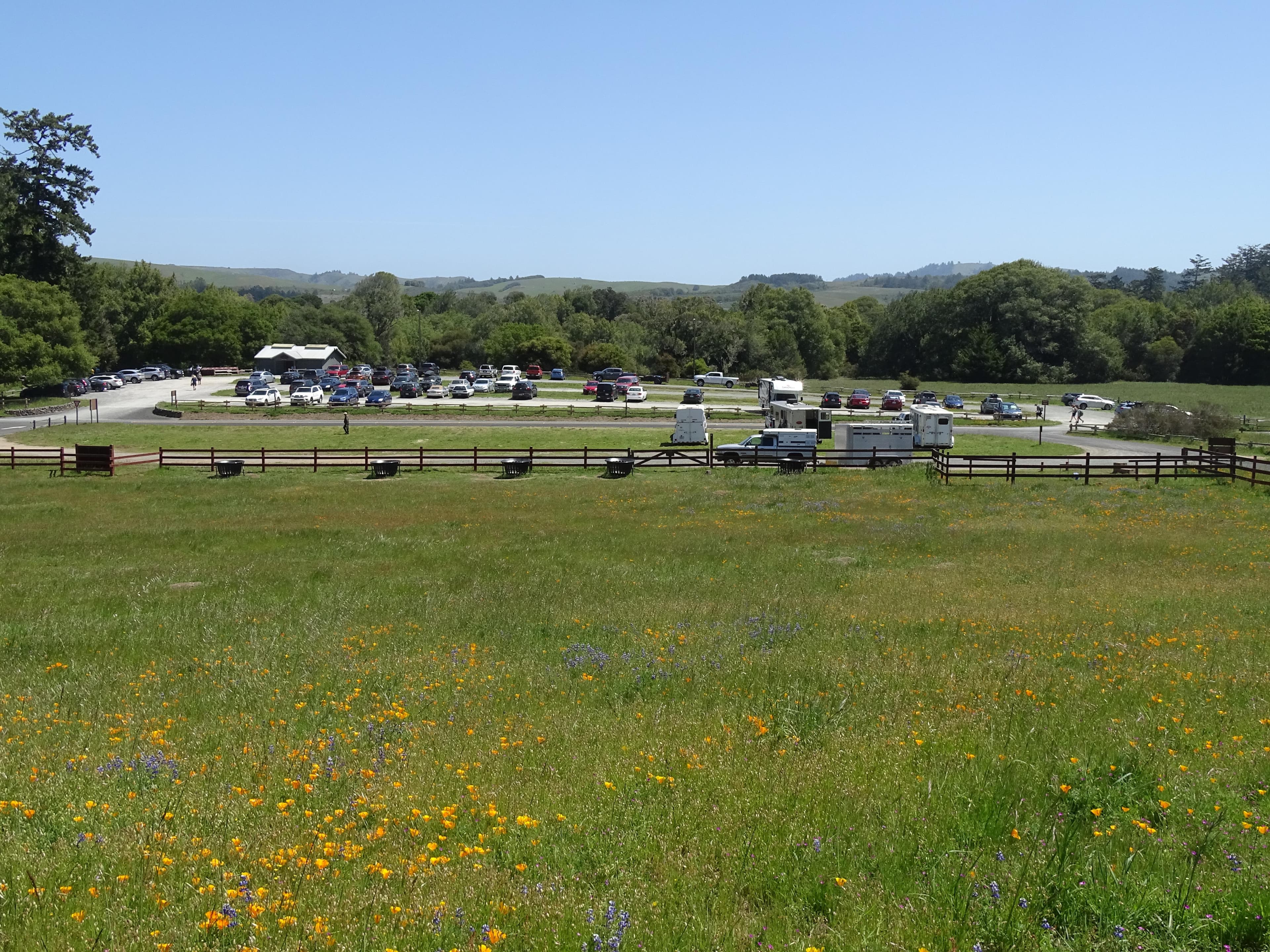
Bear Valley Bus/RV/Trailer Parking Lot
A dirt parking lot near the Bear Valley Visitor Center and Bear Valley Trailhead with space for ~20 buses, RVs, and/or vehicles towing trailers. It is available for day use only. The Bear Valley Trailhead is at the southeast corner of the lot.
Open in Maps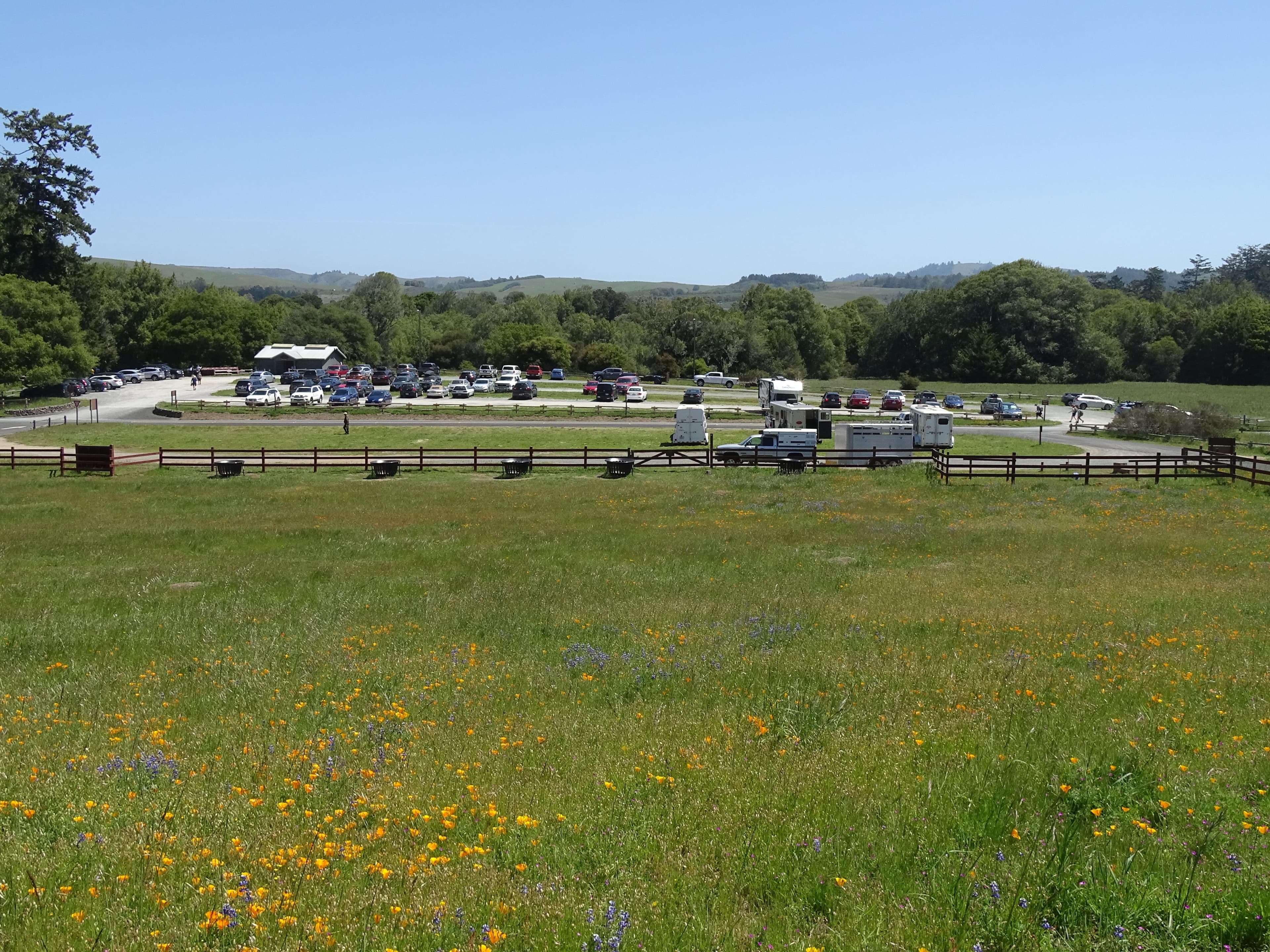
Bear Valley Trailhead Parking Lot
A gravel parking lot with space for ~210 vehicles. The Bear Valley Trailhead is at the southwest corner of the parking lot. The Bear Valley Picnic Area is to the north of the parking lot and its restroom is at the parking lot's northeast corner. The Bear Valley Visitor Center is located a short distance to the northwest.
Open in Maps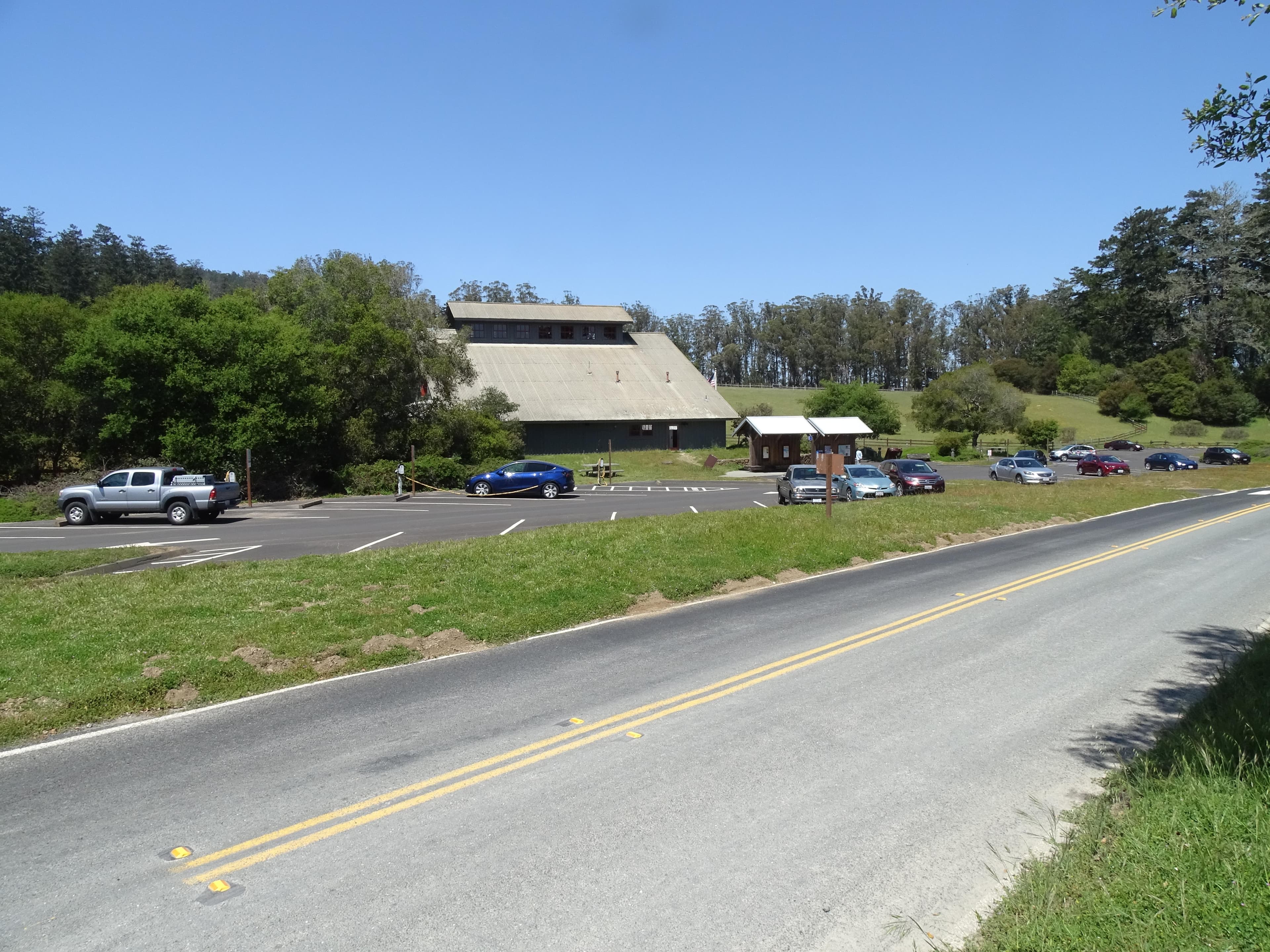
Bear Valley Visitor Center Parking Lot
A paved parking lot with space for 52 vehicles adjacent to the Bear Valley Visitor Center. As of June 2022, there are six type-2 EV charging stations available. To help reduce traffic congestion in the Bear Valley Visitor Center Parking Lot, please park your vehicle(s) in the gravel, trailhead/picnic area parking lot on the left (east) side of the access road close to the Bear Valley Trailhead if you will be parking your car in the area for more than 30 minutes.
Open in Maps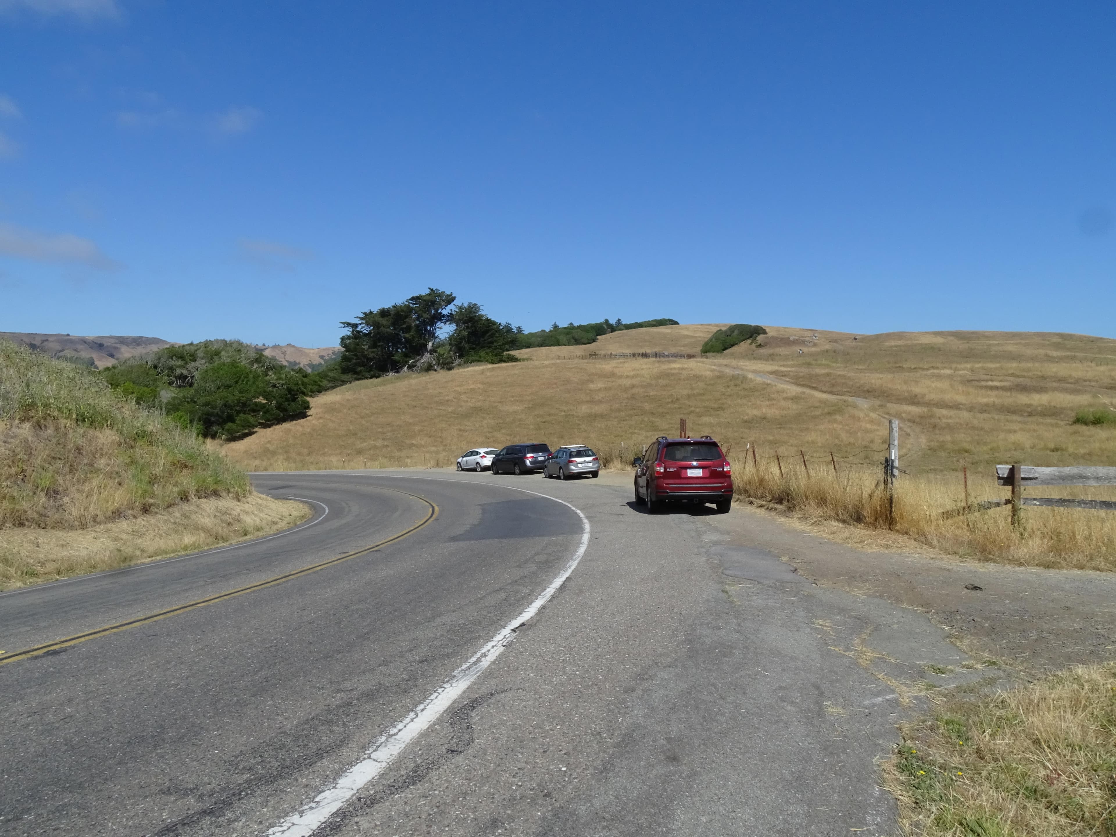
Bolinas Ridge Trailhead Roadside Parking
Space for parking at the Bolinas Ridge Trailhead consists of an approximately 300-foot-long paved shoulder and an approximately 200-foot-long gravel shoulder along the sides of Sir Francis Drake Boulevard 1.1 miles east of Olema. There are no other facilities or amenities at this location. This trailhead is approximately 5 minutes by car from the Bear Valley Visitor Center. Space is limited. Please make sure your vehicle is entirely out of the lane of travel.
Open in Maps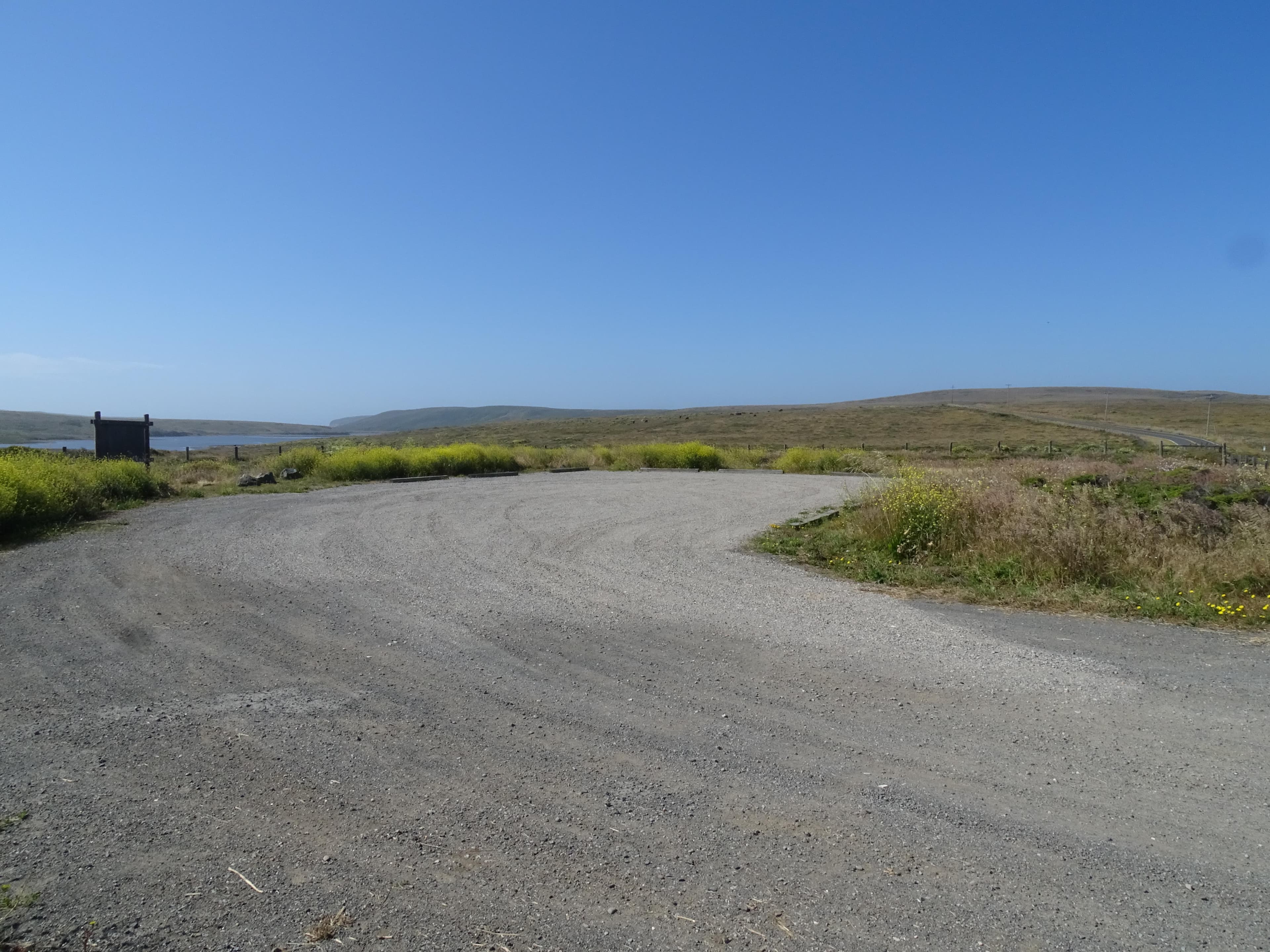
Bull Point Trailhead Parking Lot
A small gravel parking lot at the Bull Point Trailhead with space for ~10 vehicles. Park here to hike the Bull Point Trail, with begins at the eastern corner of the lot. There is a bulletin board with information about the Bull Point Trail adjacent to the trailhead. The Bull Point Trailhead Parking Lot is approximately 25 minutes by car from the Bear Valley Visitor Center via Sir Francis Drake Boulevard.
Open in Maps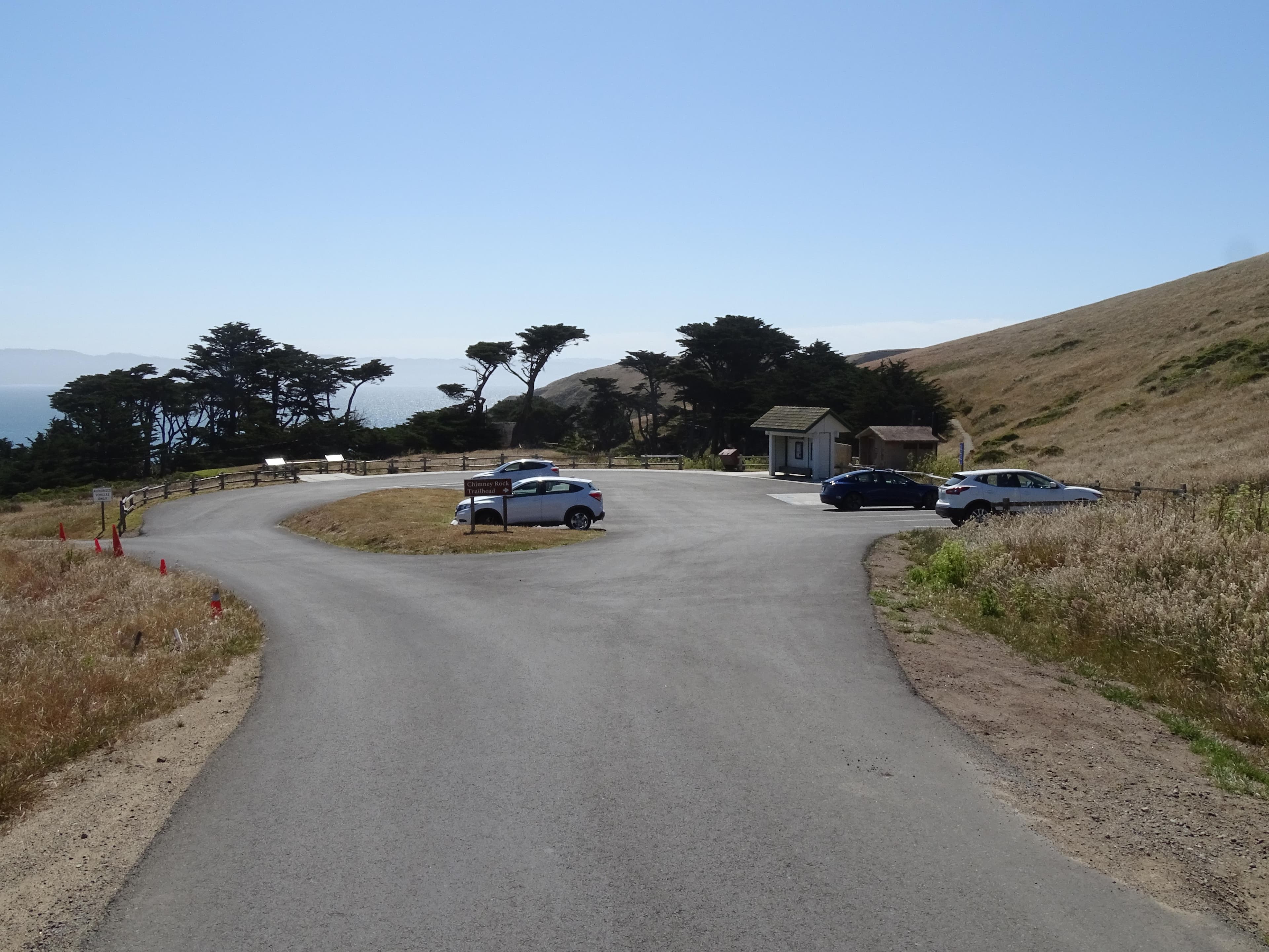
Chimney Rock Parking Lot
A small paved parking lot with space for 20 vehicles. Park here to hike the Chimney Rock Trail, walk to the Elephant Seal Overlook, or visit the Historic Point Reyes Lifeboat Station. A vault toilet is located at the southeast corner of the parking lot. The Chimney Rock Parking Lot is approximately 45 minutes by car from the Bear Valley Visitor Center via Sir Francis Drake Boulevard.
Open in Maps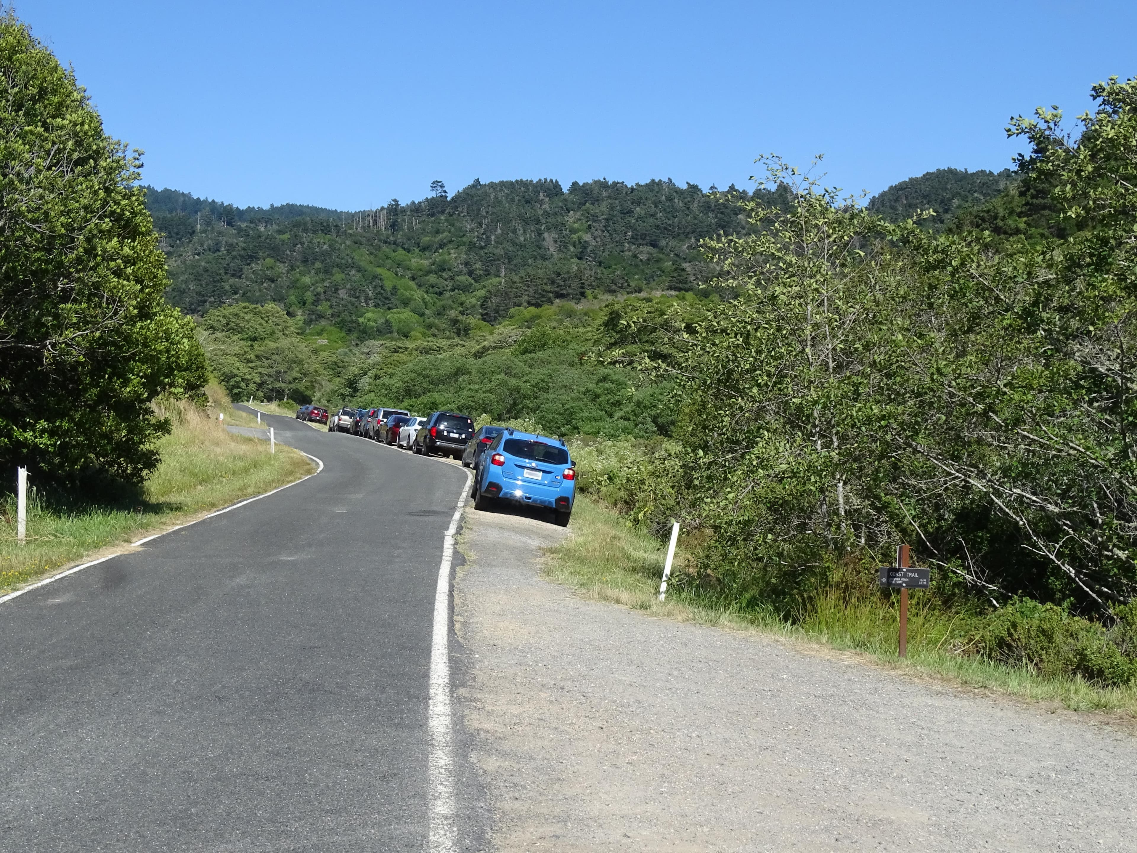
Coast Trailhead Roadside Parking
Space for parking at the Coast Trailhead consists of an approximately 300-foot-long unpaved shoulder along the south side of the Laguna Road (e.g., across the road from the hostel). There are no other facilities or amenities at this location. This trailhead is approximately 15 minutes by car from the Bear Valley Visitor Center via Limantour Road and Laguna Road. Space is limited. Please make sure your vehicle is completely off the pavement.
Open in Maps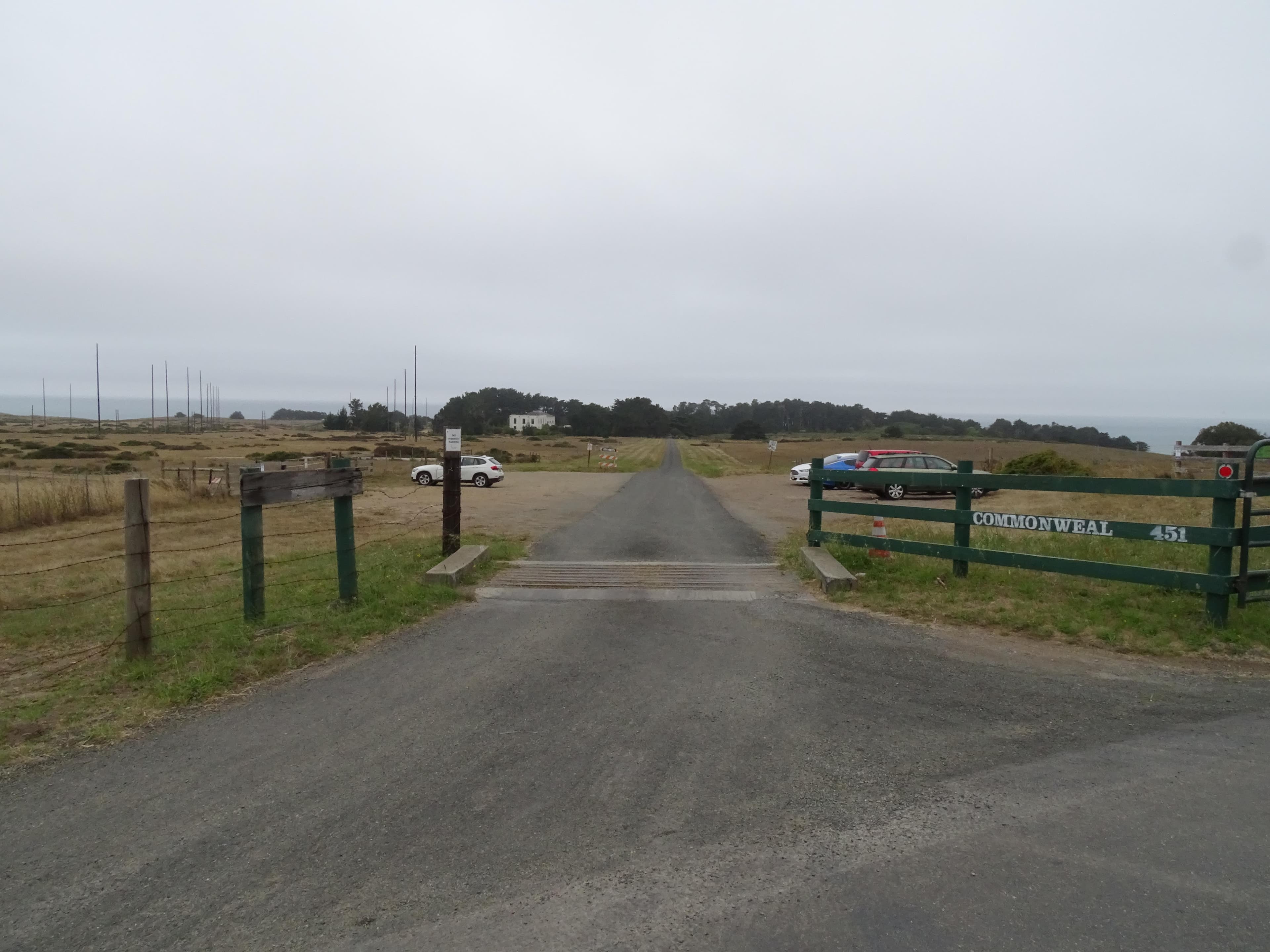
Commonweal Entrance Parking Lot
A small dirt/gravel parking lot with space for 40 vehicles at the entrance to Commonweal. Access to unmaintained trails on the Niman Ranch/Commonweal area is available along the lot's southeast edge. Or walk along the Commonweal Road for 0.4 miles to the southwest to where a trail heads south from the road. There are no other facilities or amenities at this location. The Commonweal Entrance Parking Lot is ~25 minutes by car from the Bear Valley Visitor Center via Highway 1, Olema–Bolinas Road, & Mesa Road.
Open in Maps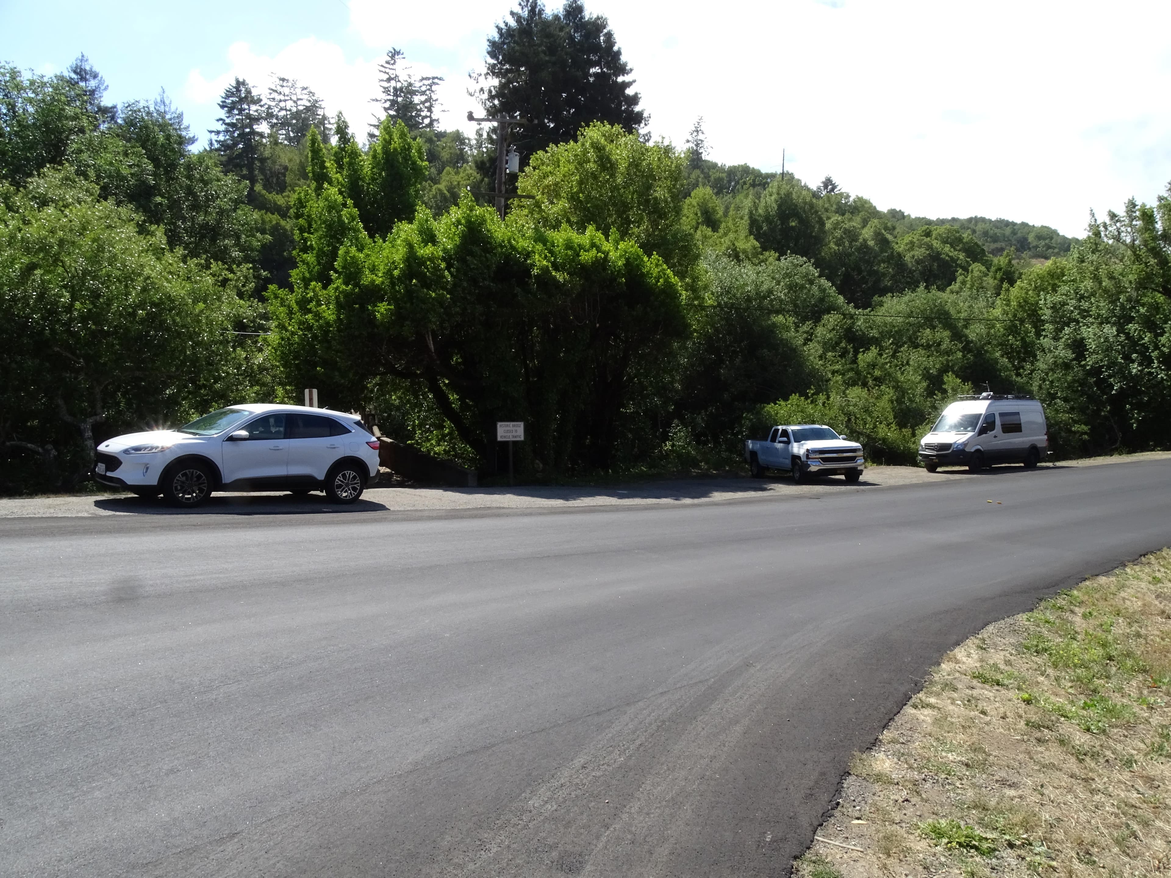
Cross Marin Trailhead Roadside Parking
There is limited parking for the Cross Marin Trail along the old (now largely decommissioned) route of Sir Francis Drake Boulevard north of and parallel to the current highway west of the bridges that cross Lagunitas Creek. (The Old Tocaloma/Platform Bridge is closed to autos.) Additional roadside parking is available along the west side of Platform Bridge Road just north of its intersection with Sir Francis Drake Blvd. This trailhead is approximately 5 minutes by car from the Bear Valley Visitor Center.
Open in Maps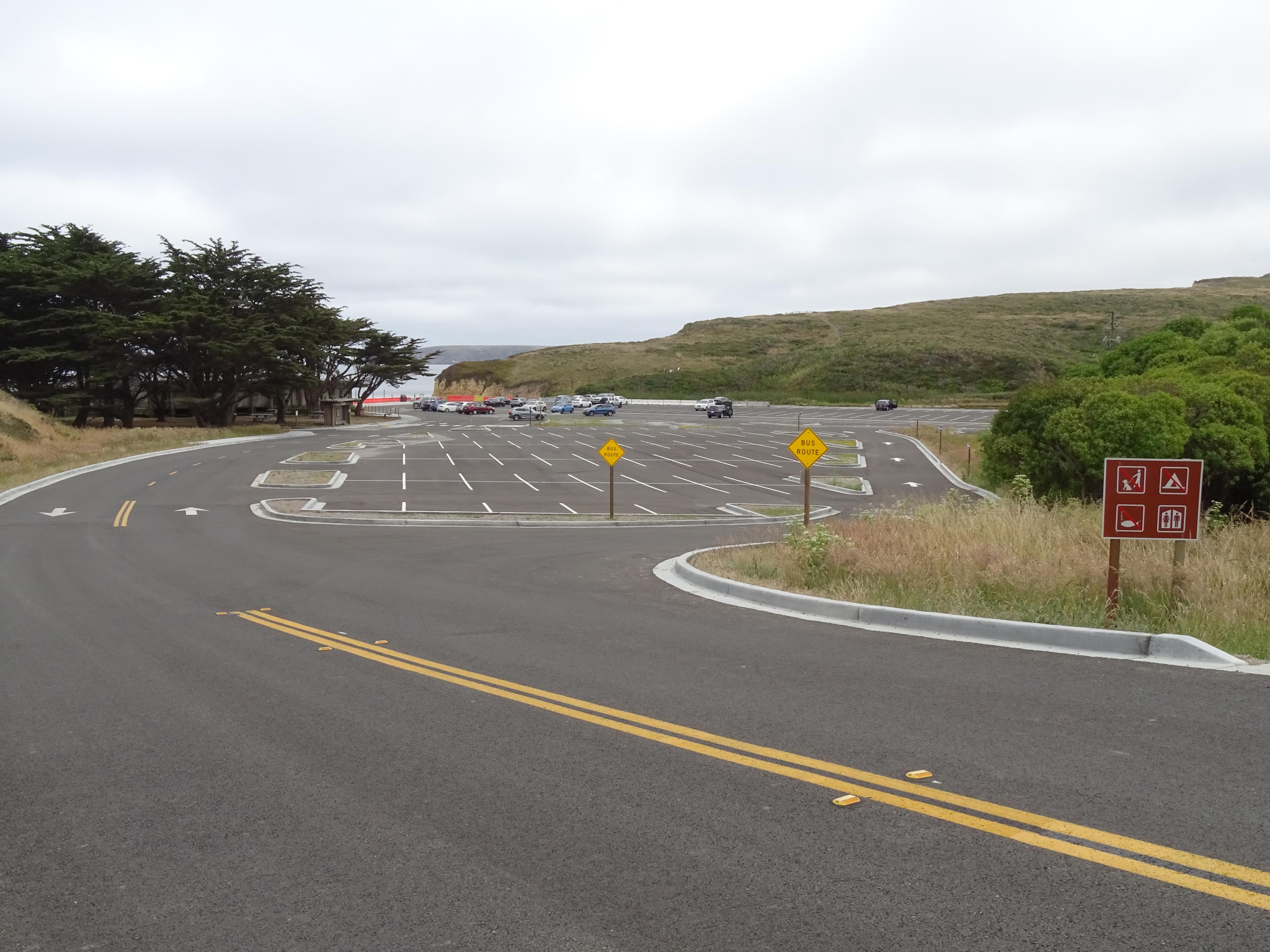
Drakes Beach Parking Lot
A paved parking lot with space for ~300 vehicles at Drakes Beach adjacent to the Kenneth C. Patrick Visitor Center. There are restrooms, a bookstore, picnic tables, and litter and recycling receptacles available at Drakes Beach. The Drakes Beach Parking Lot is approximately 30 minutes by car from the Bear Valley Visitor Center via Sir Francis Drake Boulevard.
Open in Maps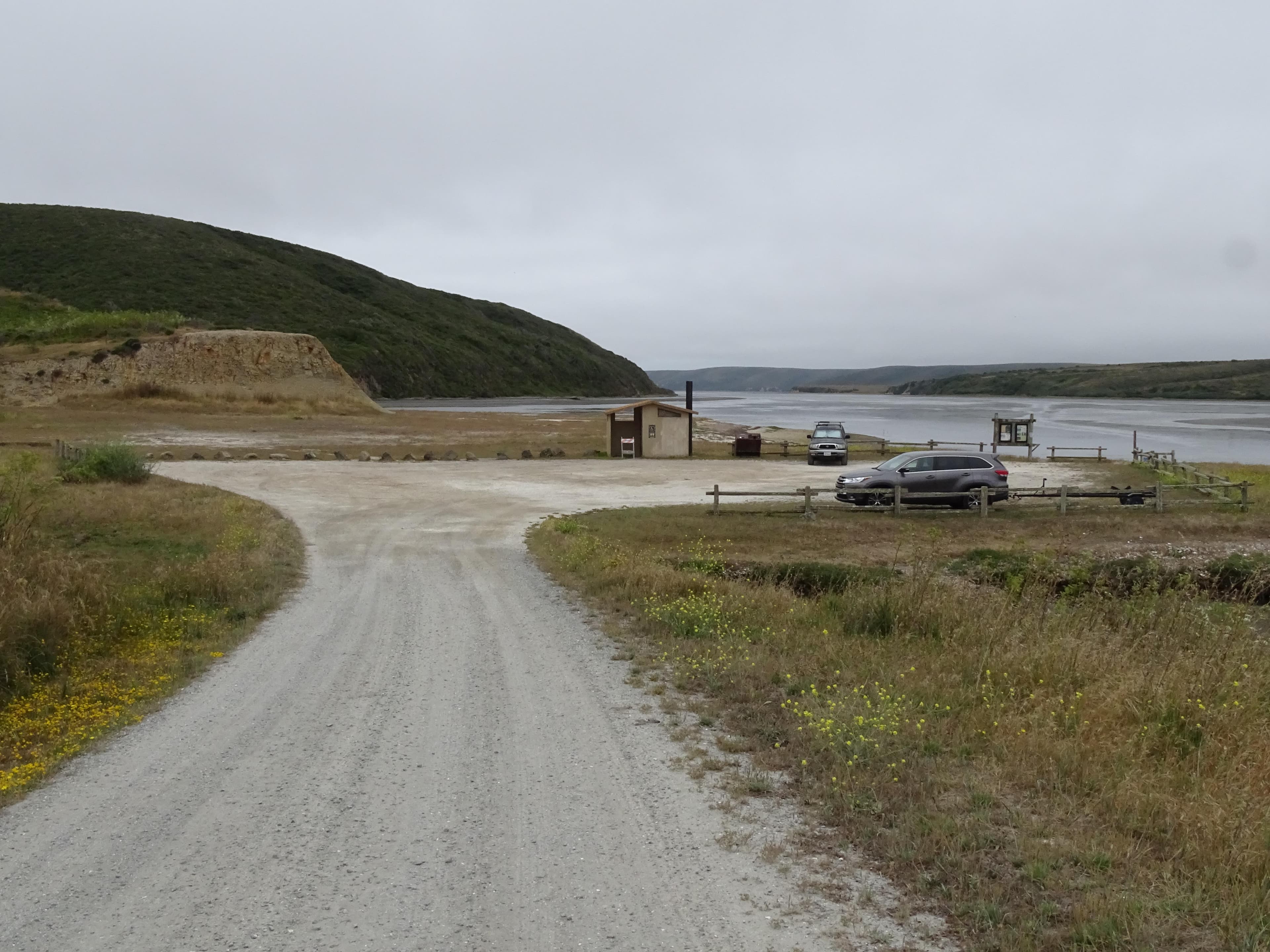
Drakes Estero Kayak/Canoe Launch Parking Lot
The Drakes Estero Parking Lot is a small dirt/gravel parking lot that can accommodate ~20 vehicles. A kayak/canoe launch site is at the southwest corner of the lot. A vault toilet building and litter and recycling receptacles are located along the south side of the lot. The Drakes Estero Parking Lot is approximately 20 minutes by car from the Bear Valley Visitor Center via Sir Francis Drake Boulevard.
Open in Maps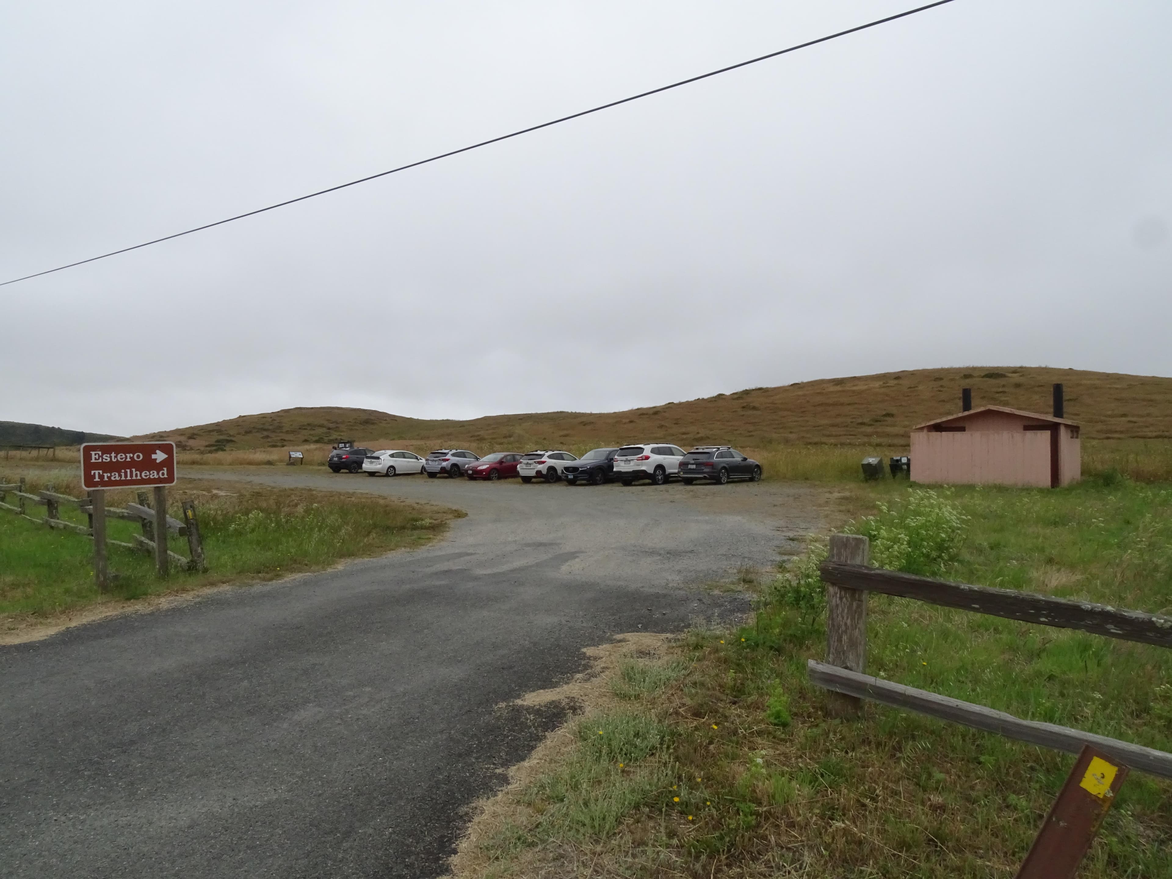
Estero Trailhead Parking Lot
The Estero Trailhead Parking Lot is a small dirt parking lot with space for ~30 vehicles on the west side of Estero Trailhead Road (aka Home Ranch Road) one mile from Sir Francis Drake Boulevard. The Estero Trailhead is at the southwest corner of the lot. A vault toilet building and litter and recycling receptacles are located at the northeast end of the lot. A picnic table is located along the southern edge of the lot. This lot is approximately 25 minutes by car from the Bear Valley Visitor Center.
Open in Maps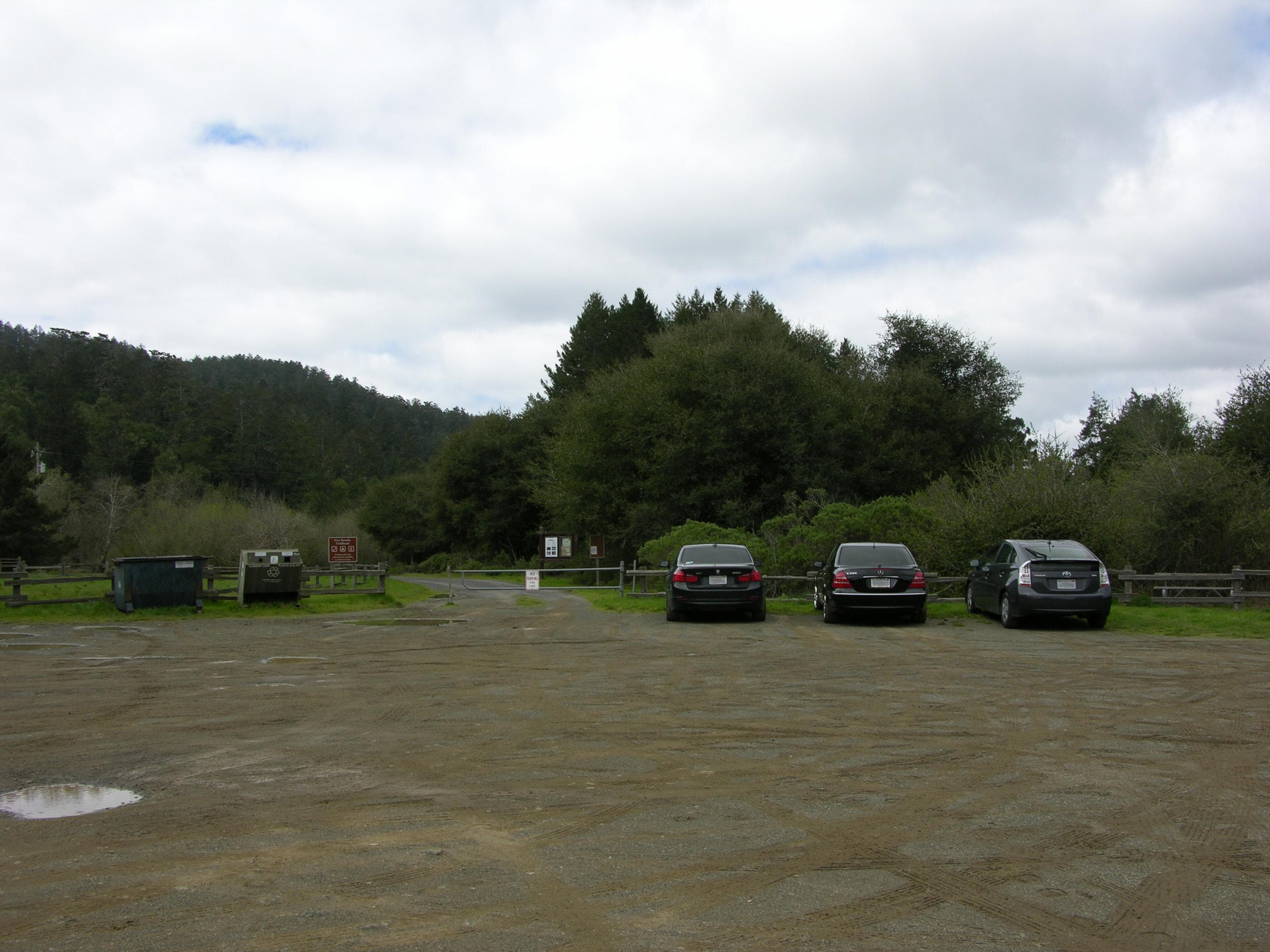
Five Brooks Parking Lot
A dirt/gravel parking lot at Five Brooks with space for ~50 vehicles and 10 or so trucks pulling horse trailers. There is a vault toilet adjacent to the parking lot and multiple picnic tables along the Stewart Trail, which heads northwest from the northern end of the lot. The Five Brooks Parking Lot is approximately 10 minutes by car from the Bear Valley Visitor Center via Highway 1.
Open in Maps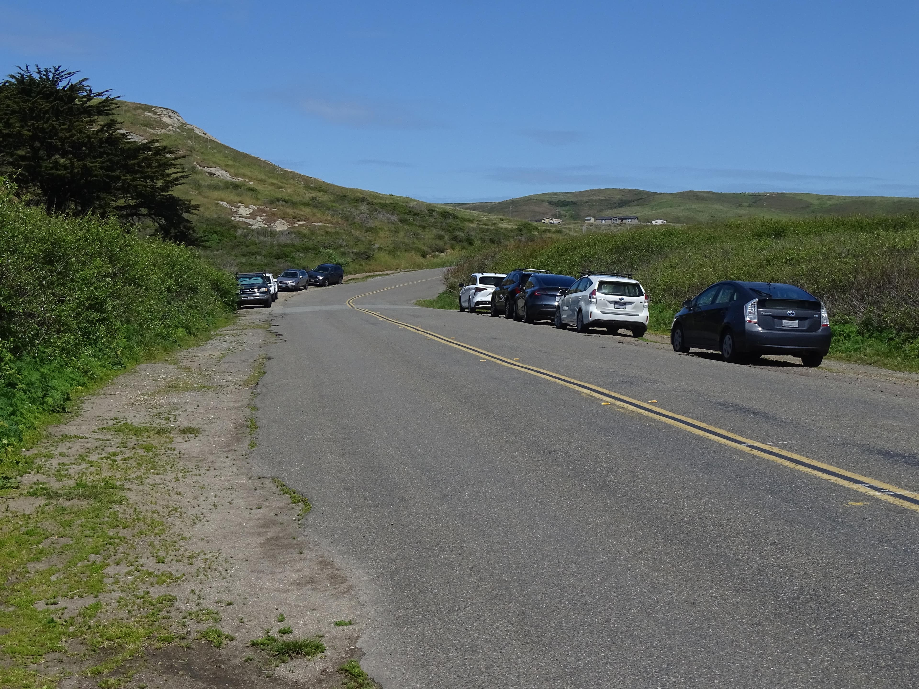
Kehoe Beach Trailhead Roadside Parking
Space for parking at the Kehoe Beach Trailhead consists of approximately 850 feet of unpaved shoulder along both sides of Pierce Point Road. There is room for approximately 40 vehicles. A vault toilet building and litter and recycling receptacles are located at the trailhead. This trailhead is approximately 25 minutes by car from the Bear Valley Visitor Center via Sir Francis Drake Boulevard and Pierce Point Road. Space is limited. Please make sure your vehicle is completely off the pavement.
Open in Maps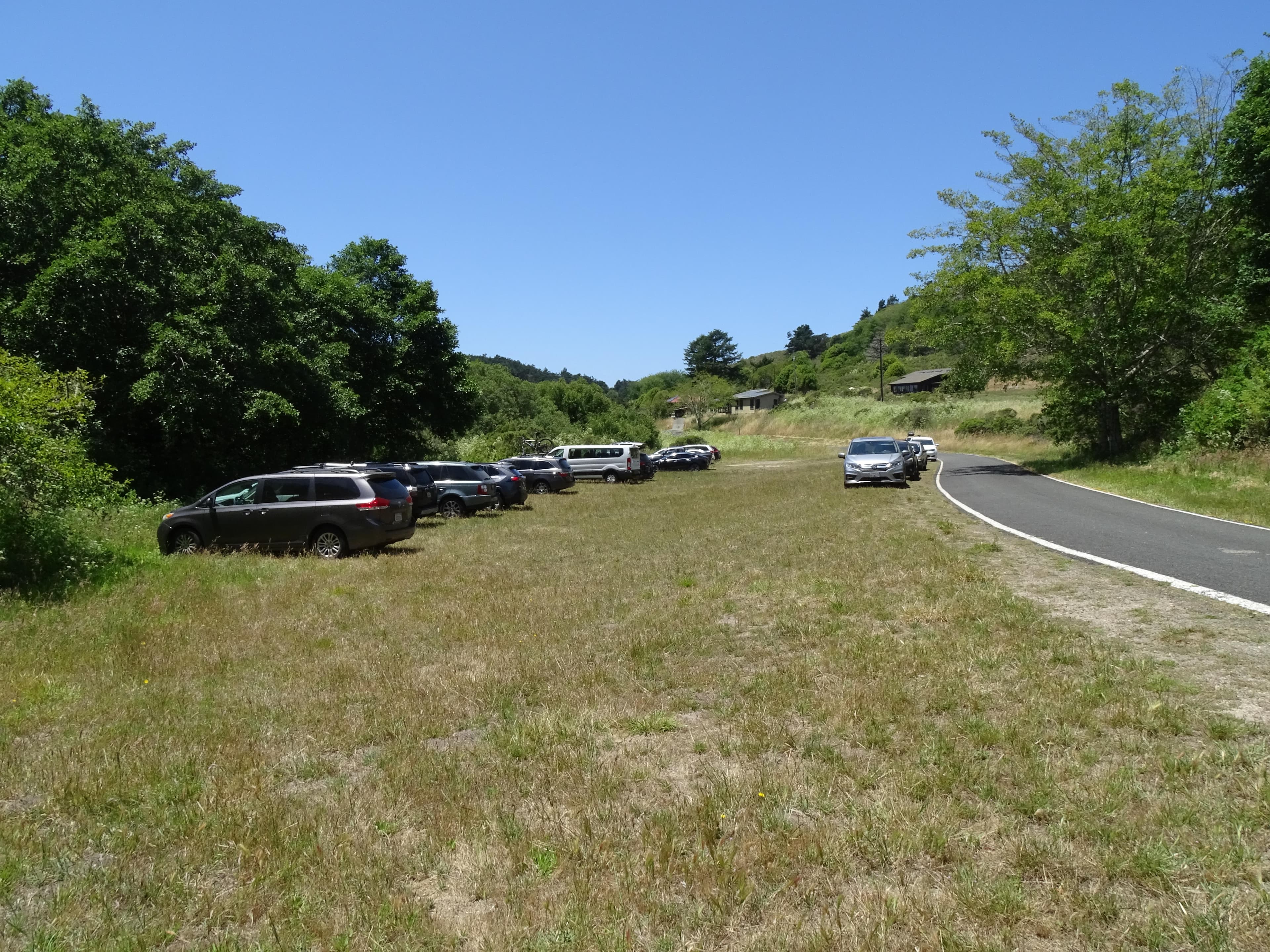
Laguna Trailhead Overflow Parking Area
A small dirt and grass area with space for ~35 vehicles serves as an overflow parking area for the Laguna Trailhead Parking Lot. It is located along the south side of Laguna Road west of the turnoff that leads into the Laguna Trailhead Parking Lot. Hikers can connect with the Laguna Trail via a short driveway at the east end of the Laguna Trailhead Parking Lot. This parking area is approximately 15 minutes by car from the Bear Valley Visitor Center via Limantour Road and Laguna Road.
Open in Maps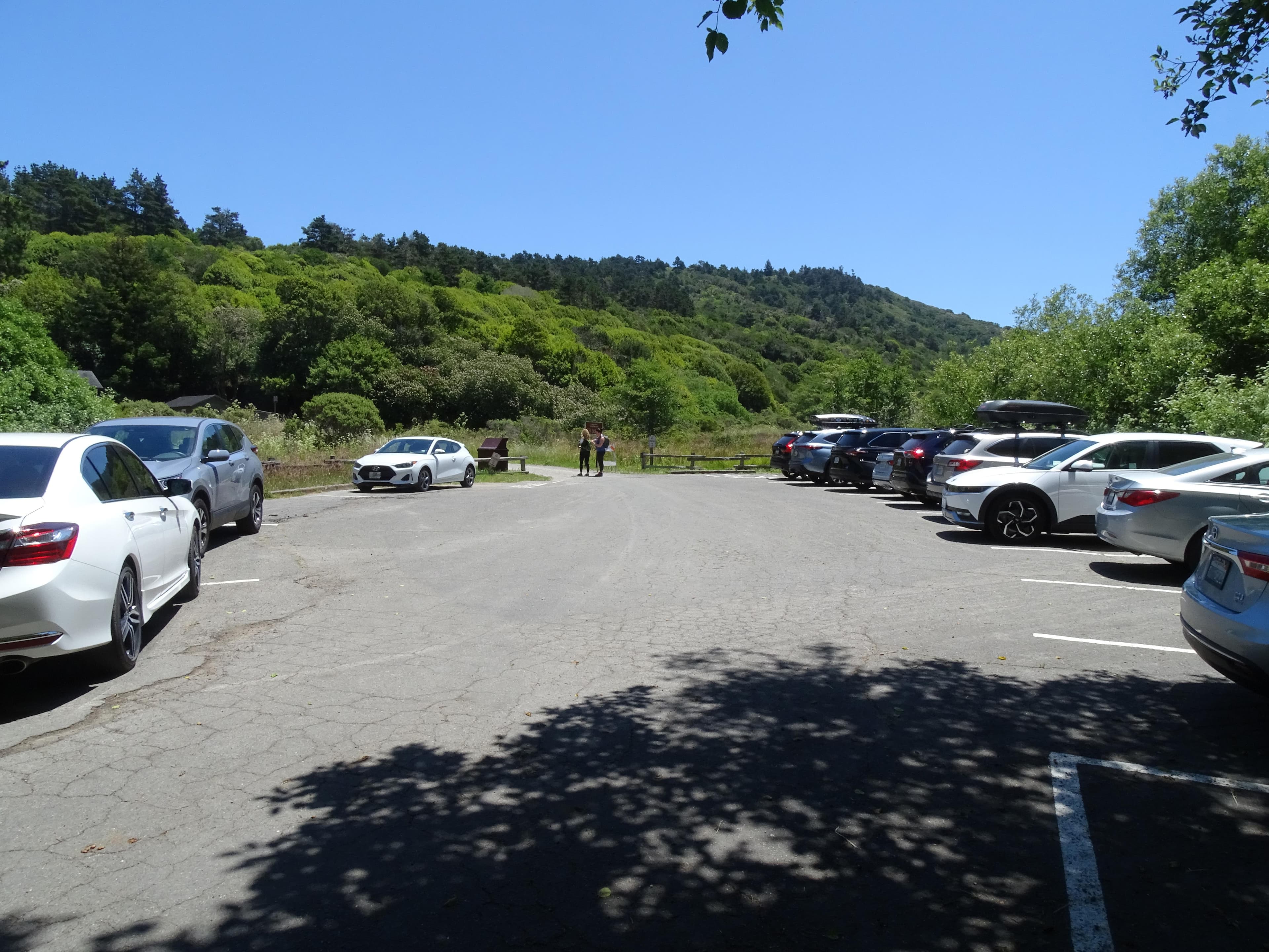
Laguna Trailhead Parking Lot
A small paved parking lot at the Laguna Trailhead with space for 13 vehicles. This is the closest parking lot to the Coast Campground. Hikers can connect with the Laguna Trail via a short driveway at the east end of the parking lot. An overflow parking area is available along the south side of Laguna Road west of the turnoff that leads into the Laguna Trailhead Parking Lot. This parking lot is approximately 15 minutes by car from the Bear Valley Visitor Center via Limantour Road and Laguna Road.
Open in Maps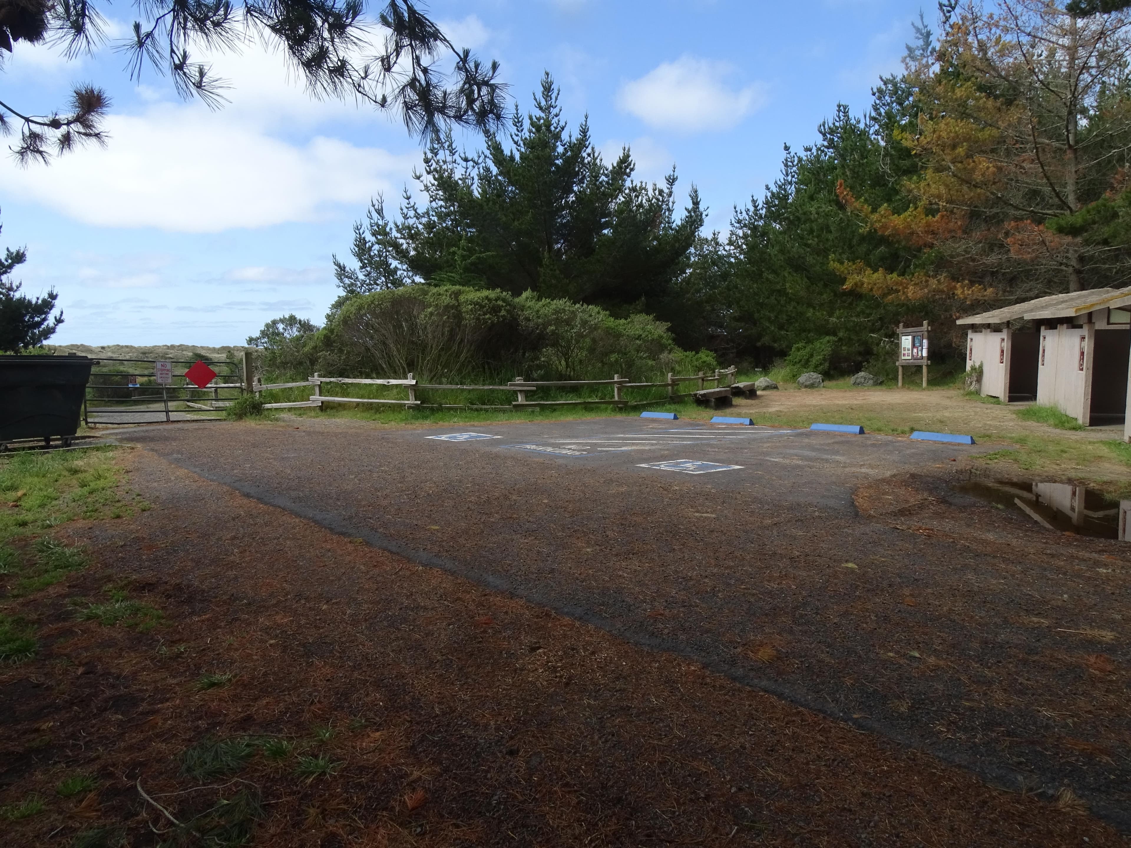
Limantour Beach Accessible Parking Lot
An asphalt parking lot with space for two vehicles adjacent to vault toilets. The path leading to Limantour Beach is at the parking lot's south end. The path leads past a gate, two picnic tables, and junctions with the Muddy Hollow Trail before climbing over a small dune to arrive at the beach. The Limantour Beach Accessible Parking Lot is approximately 20 minutes by car from the Bear Valley Visitor Center via Limantour Road.
Open in Maps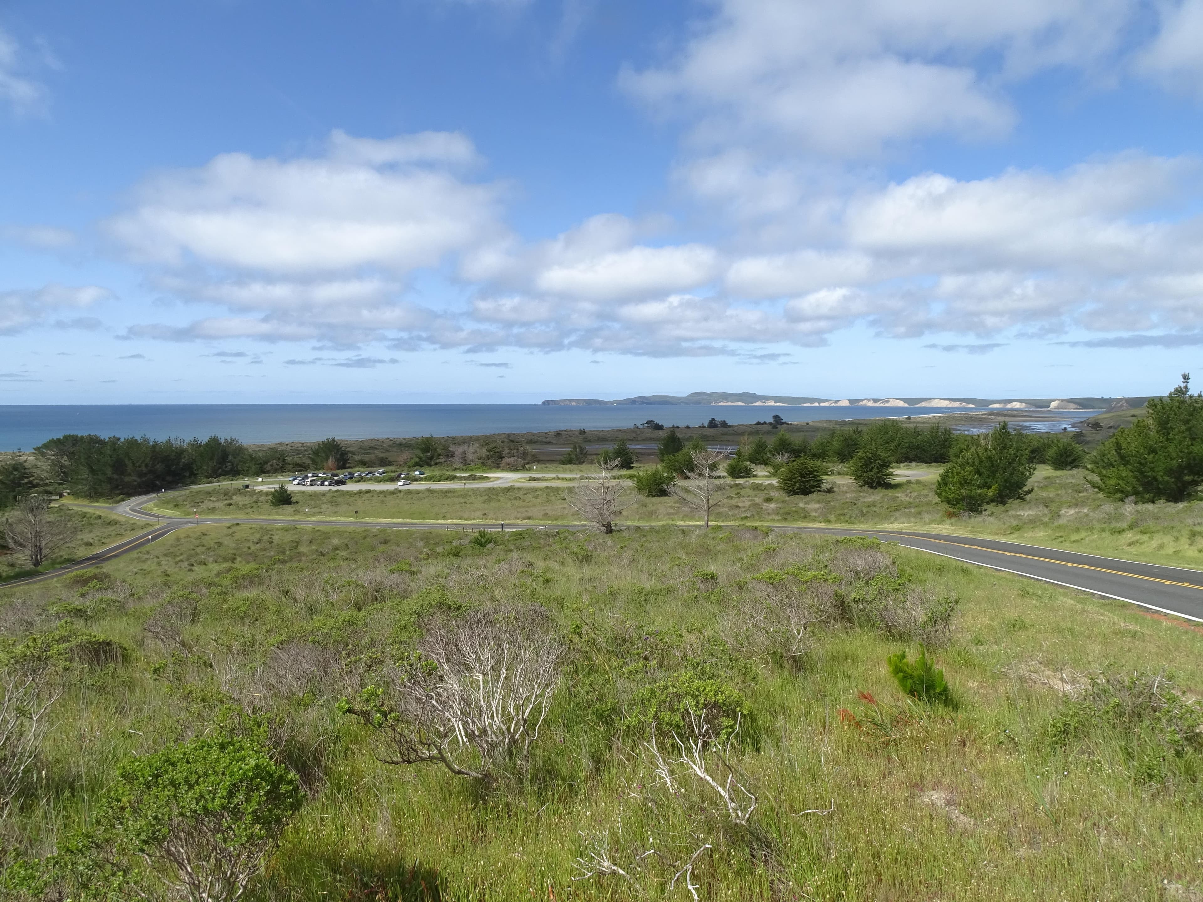
Limantour Beach Main Parking Lot
A gravel parking lot with space for ~250 vehicles. The path leading to Limantour Beach is at the parking lot's south end. The path leads past three vault toilet buildings, two picnic tables, and junctions with the Muddy Hollow Trail before climbing over a small dune to arrive at the beach. The Limantour Beach Parking Lot is approximately 20 minutes by car from the Bear Valley Visitor Center via Limantour Road.
Open in MapsGetting Here & Transit
How to Get Here
Point Reyes is located along the west coast of California approximately 30 miles (50 km) north of San Francisco. Travelers may approach the park from the winding scenic Highway 1, either from the north or the south. Visitors can also reach the park via Sir Francis Drake Boulevard or the Point Reyes/Petaluma Road.
Park Amenities
Permits & Reservations
Permits may be required
Some activities in Point Reyes National Seashore — including backcountry camping, certain trails, and climbing routes — require advance permits. Check the official NPS website for current requirements before your visit.
Operating Hours
Point Reyes National Seashore
Point Reyes National Seashore is open to visitors every day of the year! The park is open from 6 am to midnight. (Visit our Visitor Centers web page, for the hours for the Bear Valley Visitor Center, the Kenneth C. Patrick Visitor Center at Drakes Beach, and the Point Reyes Lighthouse and the stairs leading down to the lighthouse.) Overnight parking is only permitted in the park with a valid backcountry camping permit or for visitors staying at the Point Reyes Hostel.
- MondayOpens at 6:00AM
- TuesdayOpens at 6:00AM
- WednesdayOpens at 6:00AM
- ThursdayOpens at 6:00AM
- FridayOpens at 6:00AM
- SaturdayOpens at 6:00AM
- SundayOpens at 6:00AM
Live Webcams
Click any camera to open the live feed on the NPS website.
Photos
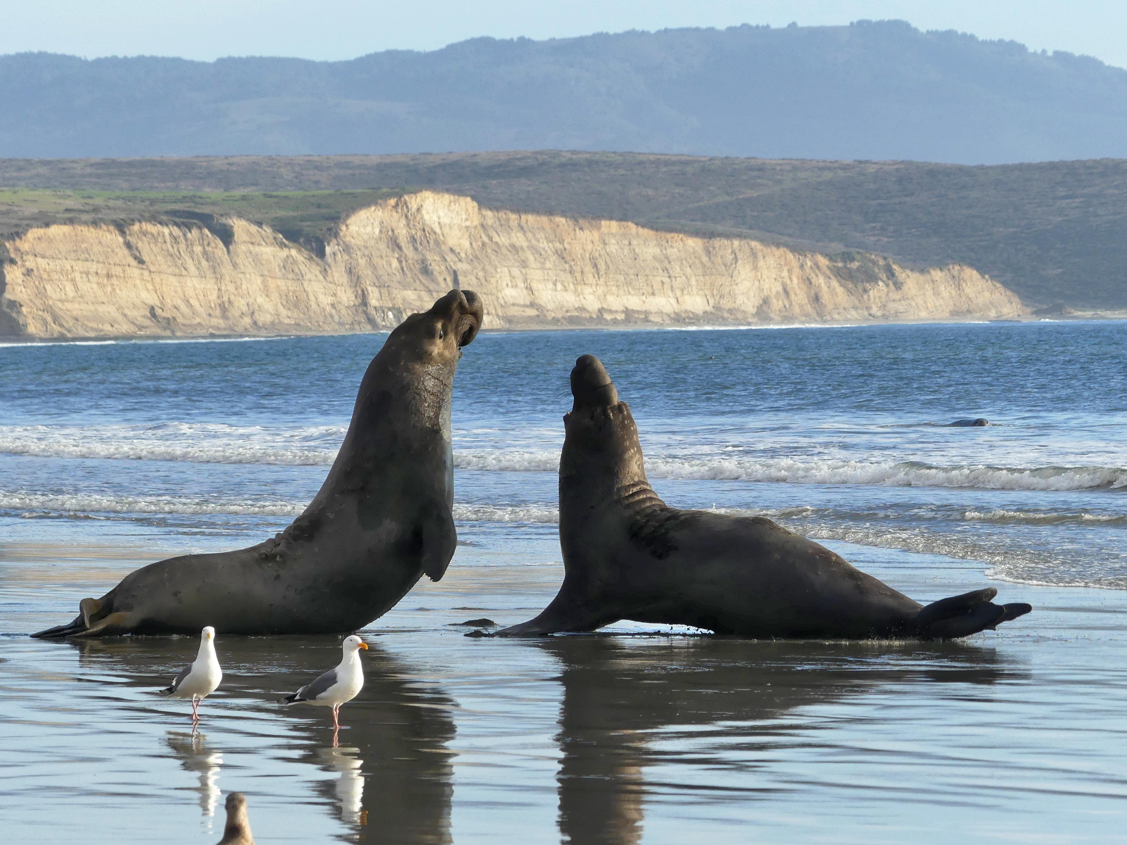
Two northern elephant seals confronting each other in the wet sand on a cliff-backed beach.
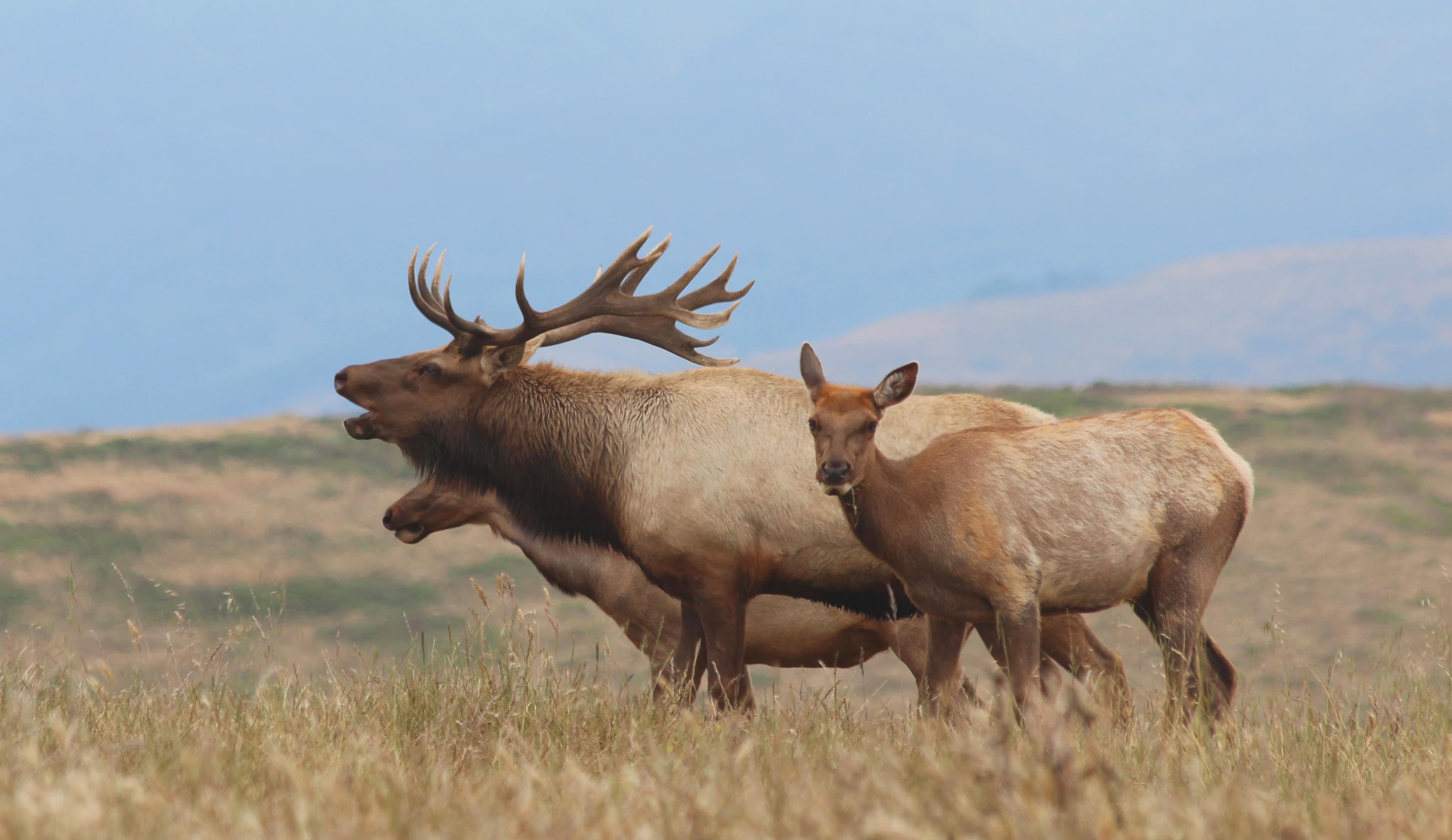
A Tule elk bugling next to two calves in a grassy field.
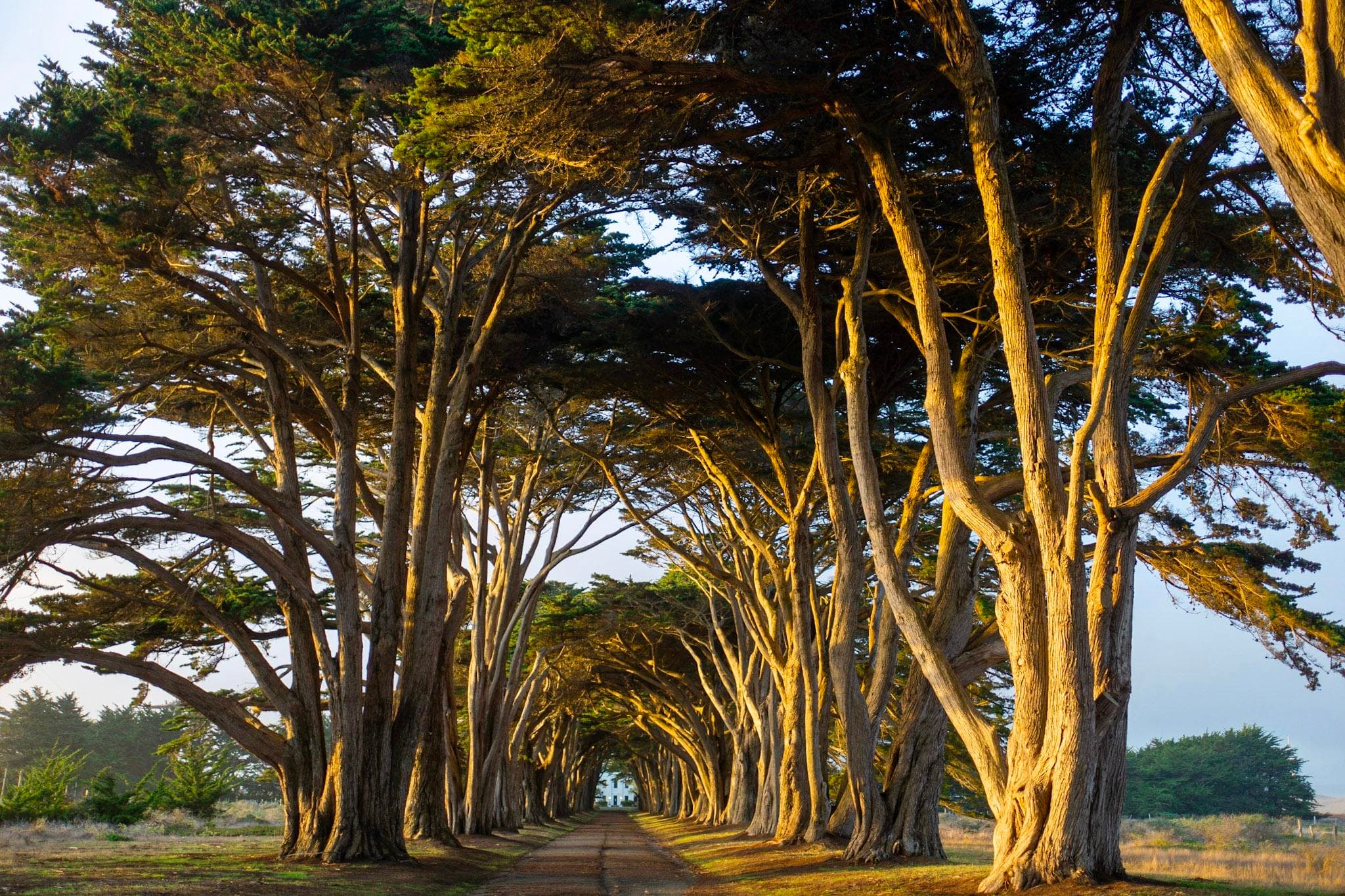
Two rows of cypress trees lining a road, forming a sunlit tunnel.
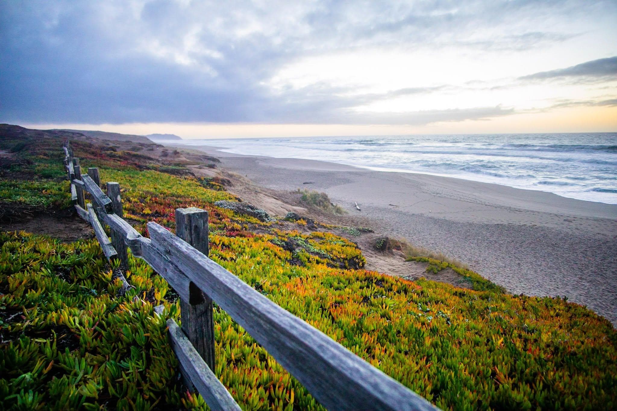
A split rail fence and vegetation along a long sandy ocean beach.
When to Go
Crowd CalendarPlan your trip around peak seasons to avoid crowds or embrace the energy of the busy months. Our crowd predictions are based on historical NPS Visitor Use Statistics.
Jan
Feb
Mar
Apr
May
Jun
Jul
Aug
Sep
Oct
Nov
Dec
Build your Point Reyes itinerary
Tell Miza your dates, pace, and interests—get a day-by-day plan with hikes, drives, and must-see stops.
Best Time
Year-round
Trip Length
1 day
Searching for the best hotel deals near Point Reyes National Seashore...
Planning Point Reyes National Seashore
These common questions go deeper into logistics and planning. For real-time updates on road closures and current conditions, always check the Alerts section above.