
Entrance Fee
$25.00
/ Entrance - Private Vehicle
Park Hours (Today)
All Day
Munising Falls Visitor Center: 9:00AM - 5:00PM
Miza AI
Plan your Pictured Rocks trip
About the Park
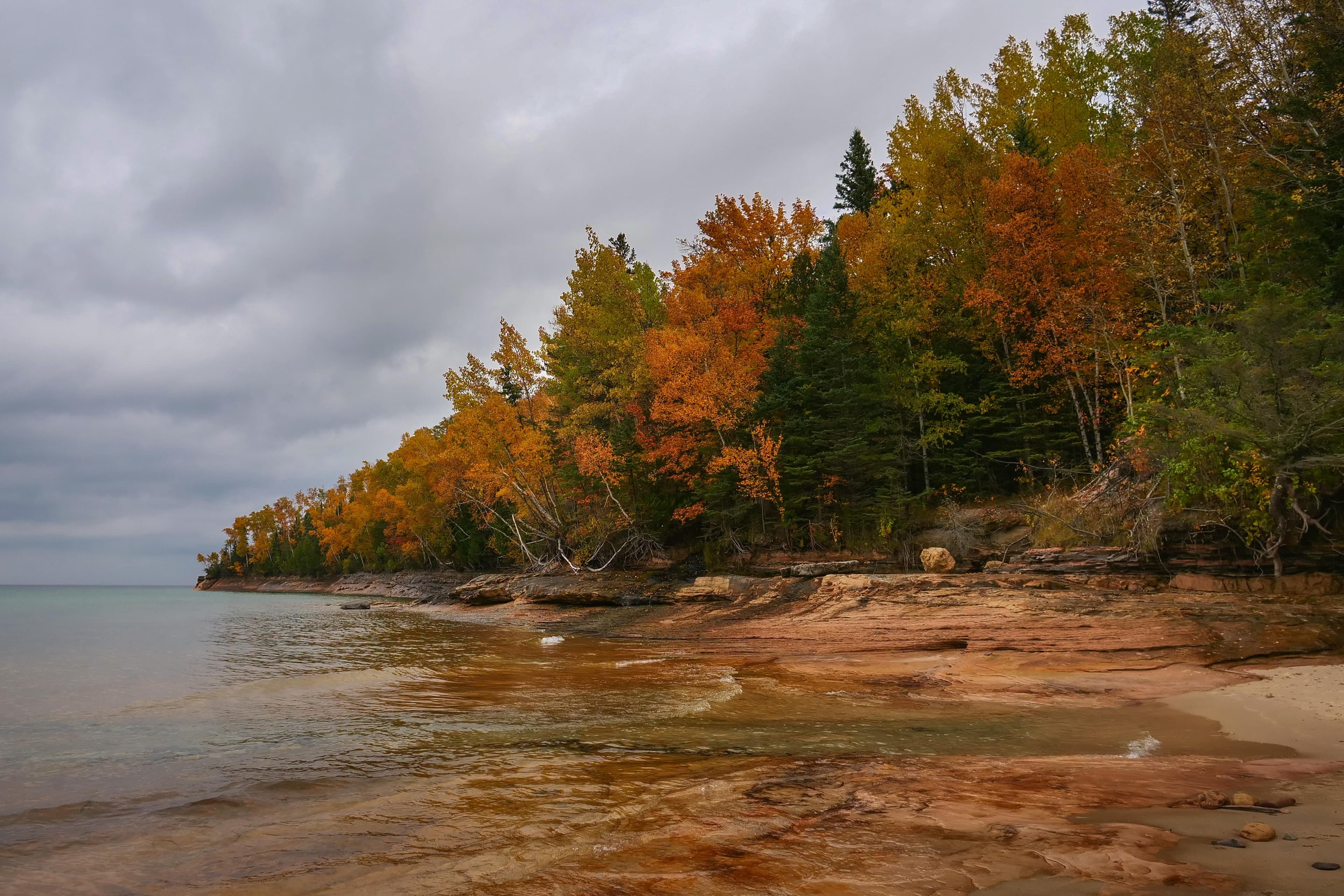
Sandstone cliffs, beaches, waterfalls, sand dunes, inland lakes, deep forest, and wild shoreline beckon you to visit Pictured Rocks National Lakeshore. The power of Lake Superior shapes the park's coastal features and affects every ecosystem, creating a unique landscape to explore. Hiking, camping, sightseeing, and four-season outdoor opportunities abound.

Ready to explore Pictured Rocks National Lakeshore?
Take the stress out of planning. Our AI will automatically sequence your stops, find the best hotels, and optimize your driving time in seconds.
What to See & Do
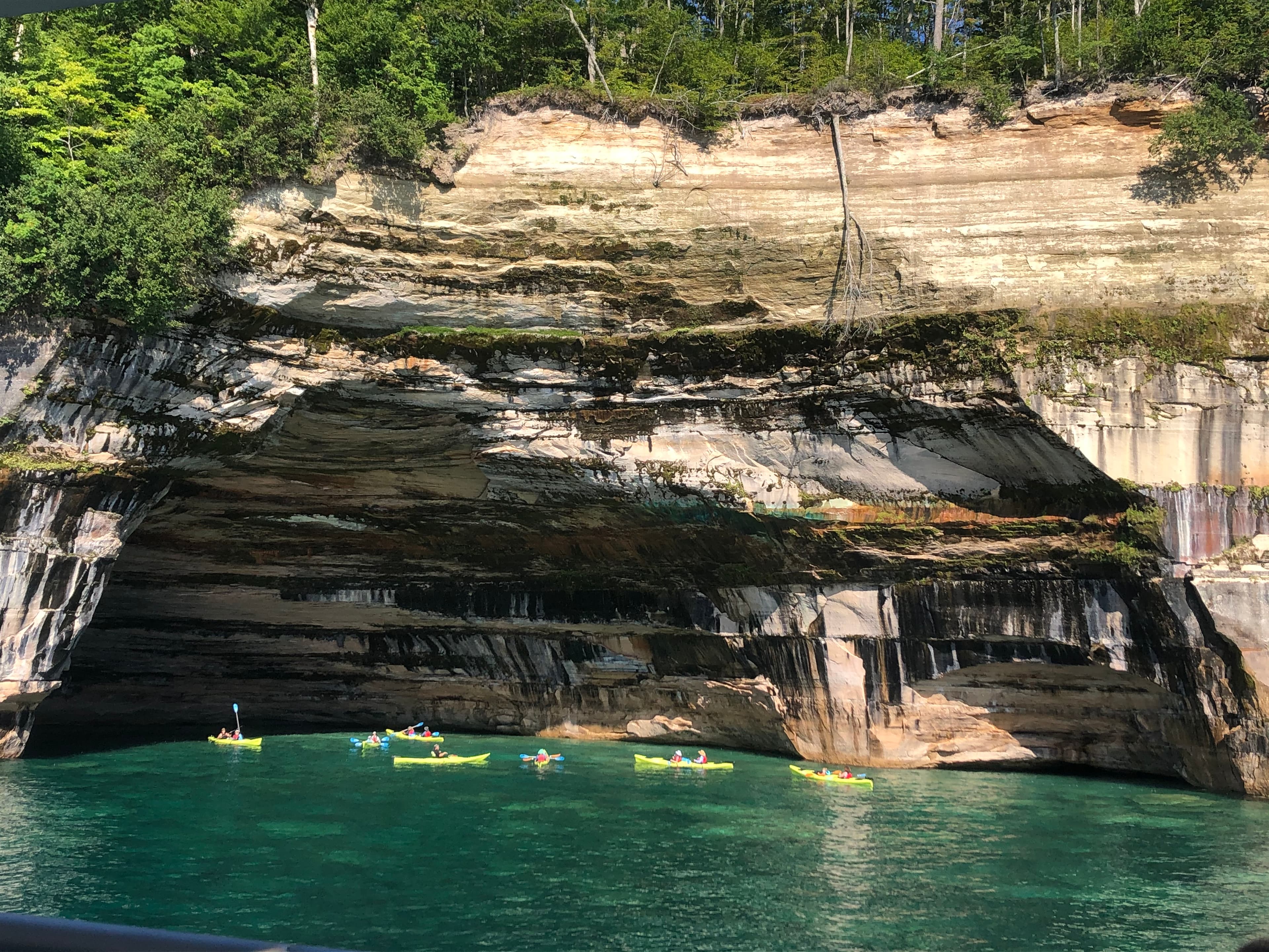
Commercial Tours
Several authorized companies offer guided kayak tours, ice climbing activities, and hiking/camping trips in the park.
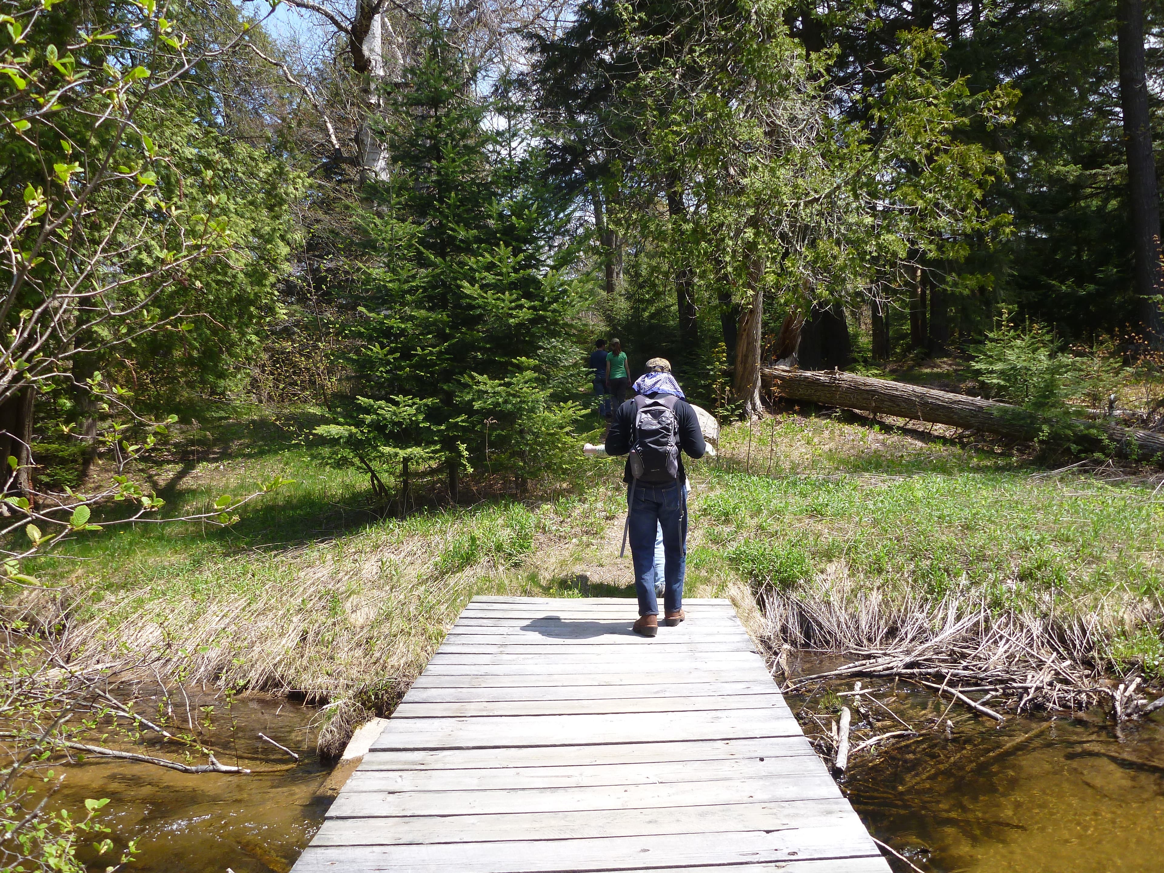
Walks and Hikes Over a Mile
Longer hikes and walks lead to stunning cliff views, remote beaches, the Beaver Basin Wilderness, Au Sable Lighthouse, and many other scenic areas.
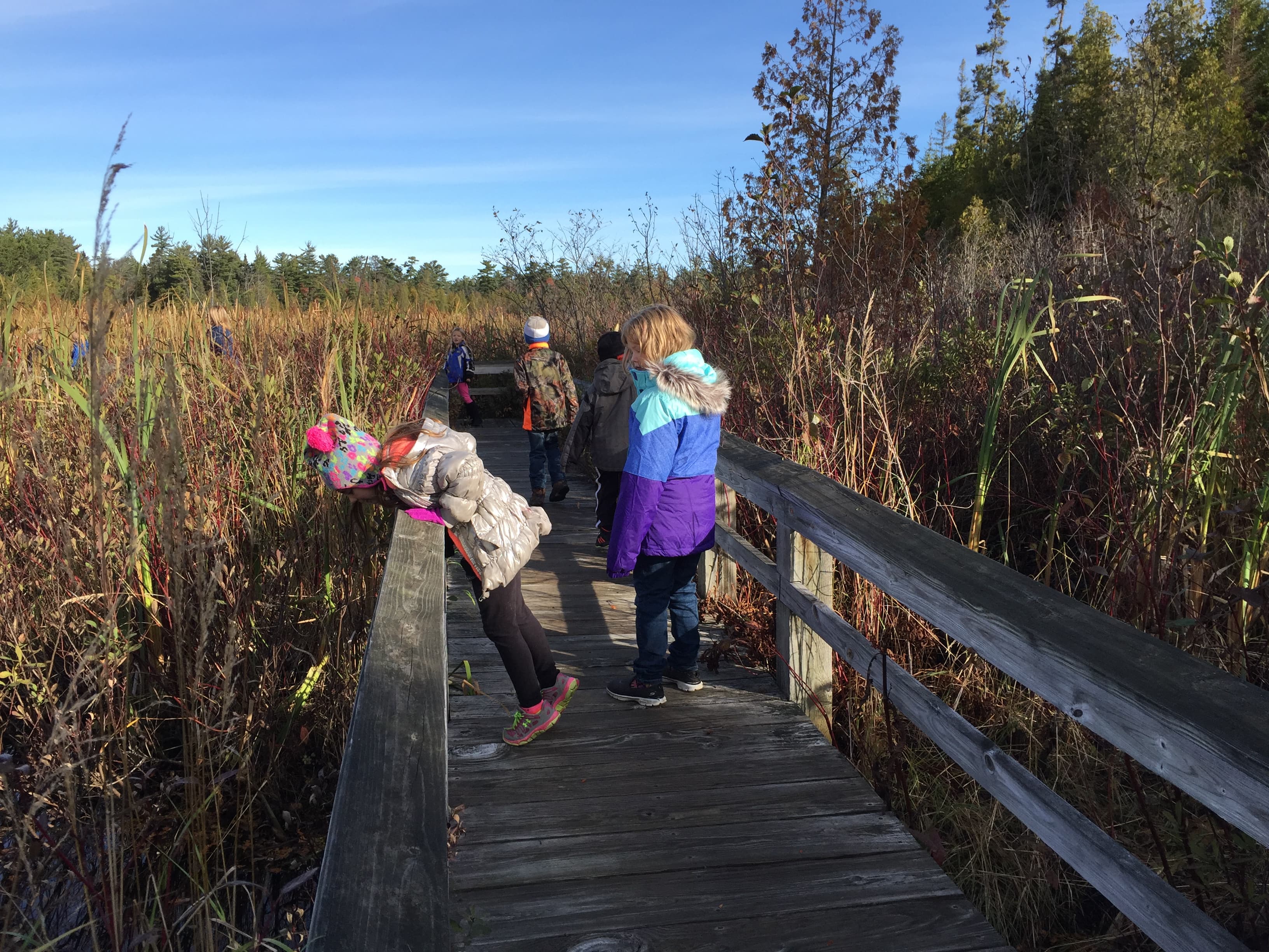
Walks and Hikes of One Mile or Less
Pictured Rocks offers 100 miles of hiking and walking trails leading to waterfalls, beaches, forest wilderness, cultural sites, and breathtaking cliff-top views of Lake Superior. Here are some of the shorter trails.
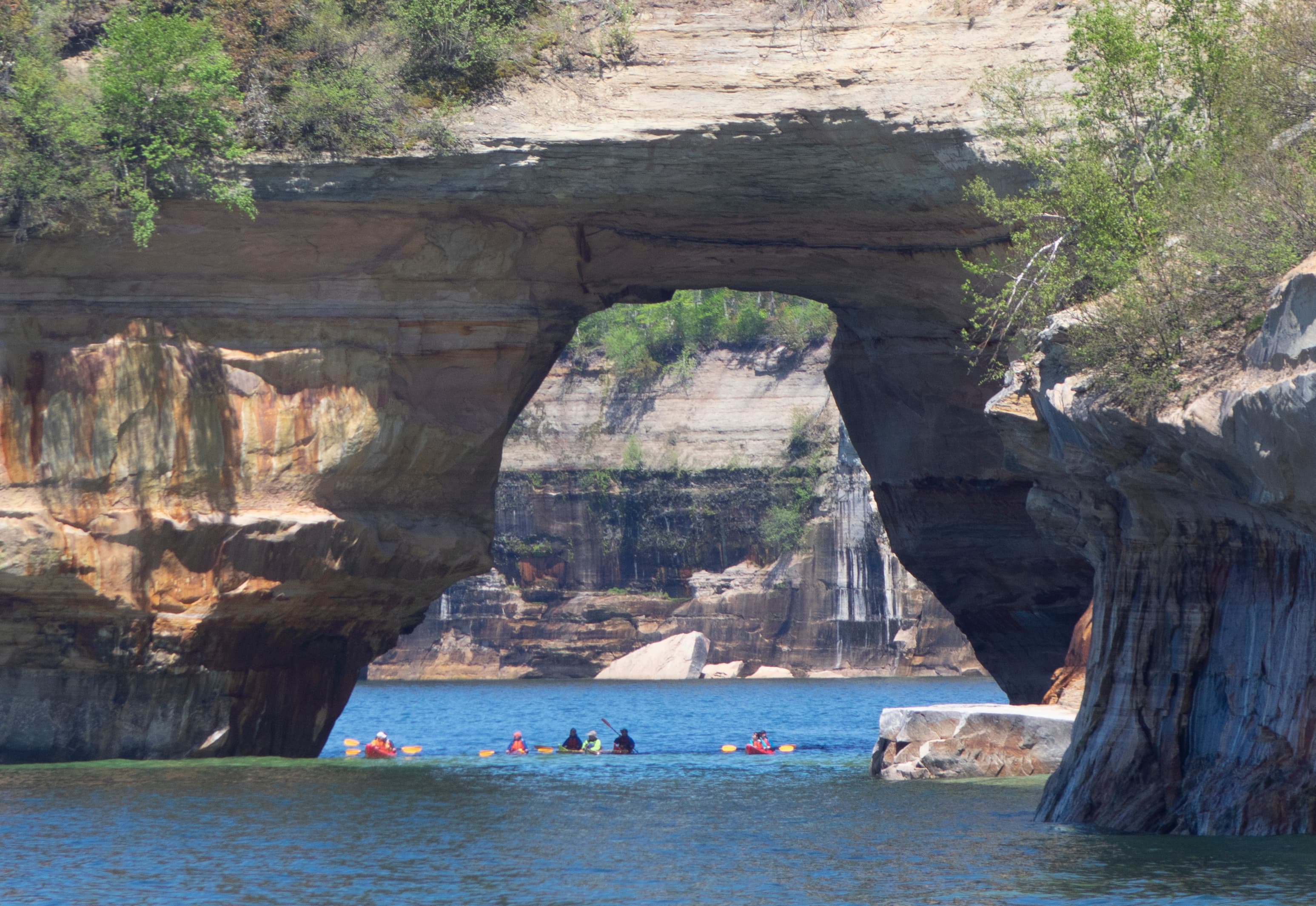
Kayaking and Kayak Safety
Thinking about kayaking at Pictured Rocks National Lakeshore? Make sure you have the right kind of boat and are aware of all safety issues!
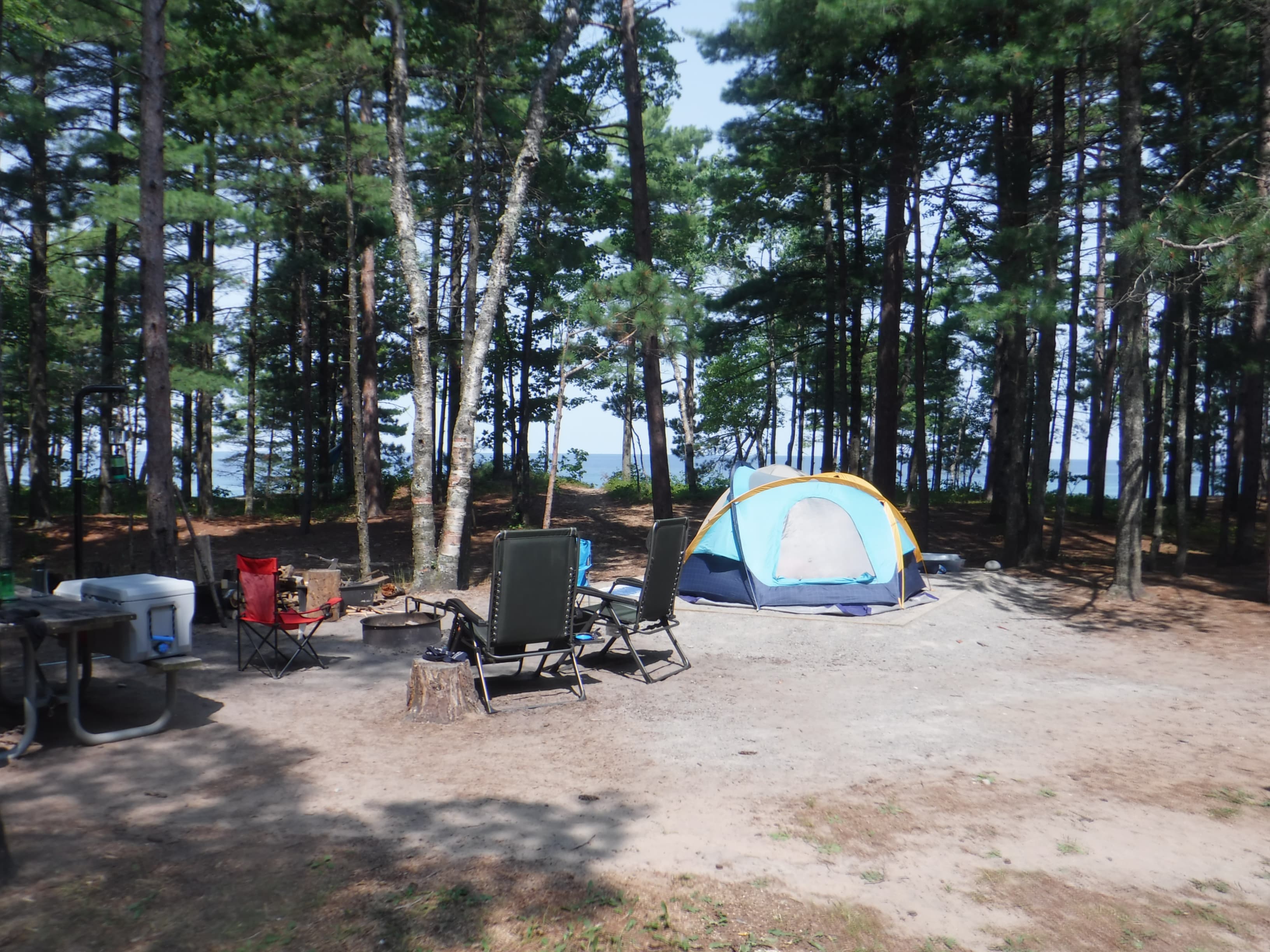
Drive-In Camping at Pictured Rocks
Pictured Rocks has three drive-in campgrounds open May 15 through Oct. 15. Two are along Lake Superior and the third is on a beautiful inland lake.
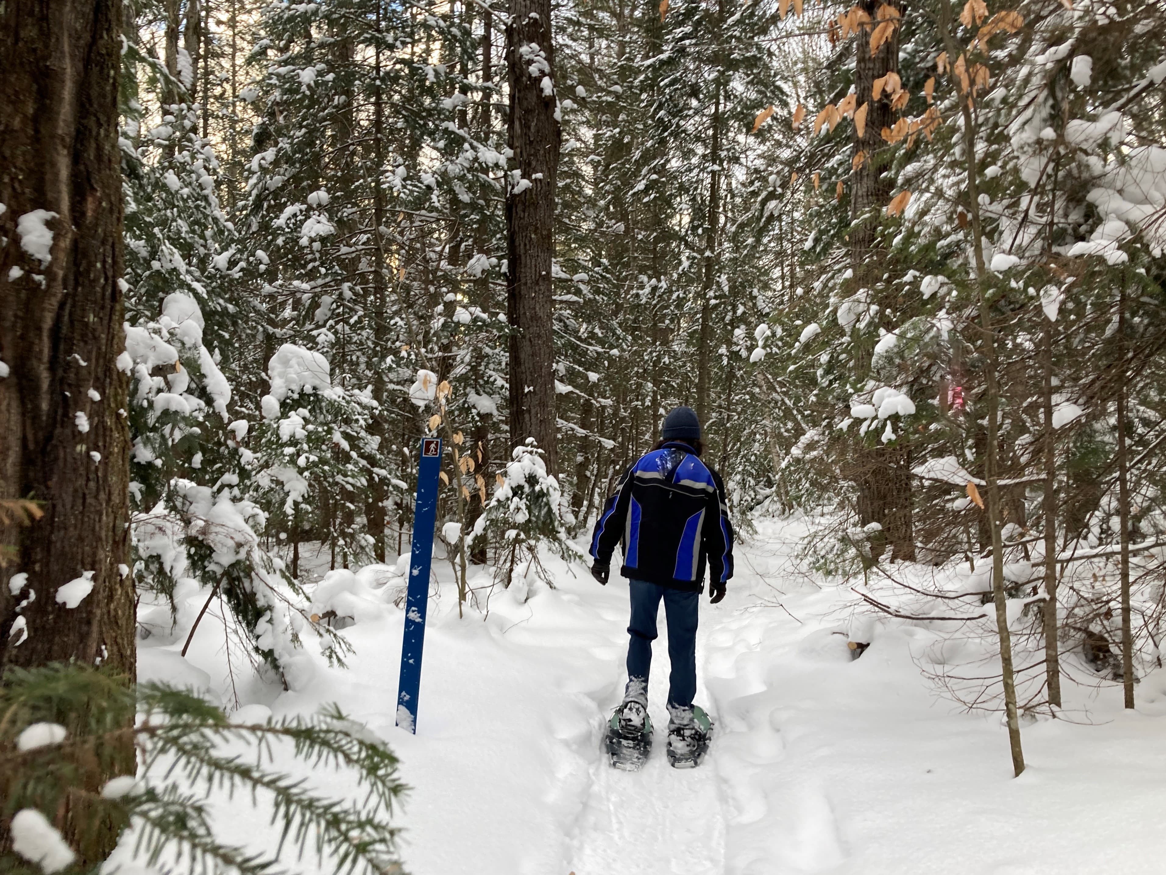
Snowshoeing at Pictured Rocks
Snowshoeing is a very popular winter sport at Pictured Rocks. There is one official trail, but almost the entire park is open for snowshoeing.
Self-Guided Tours
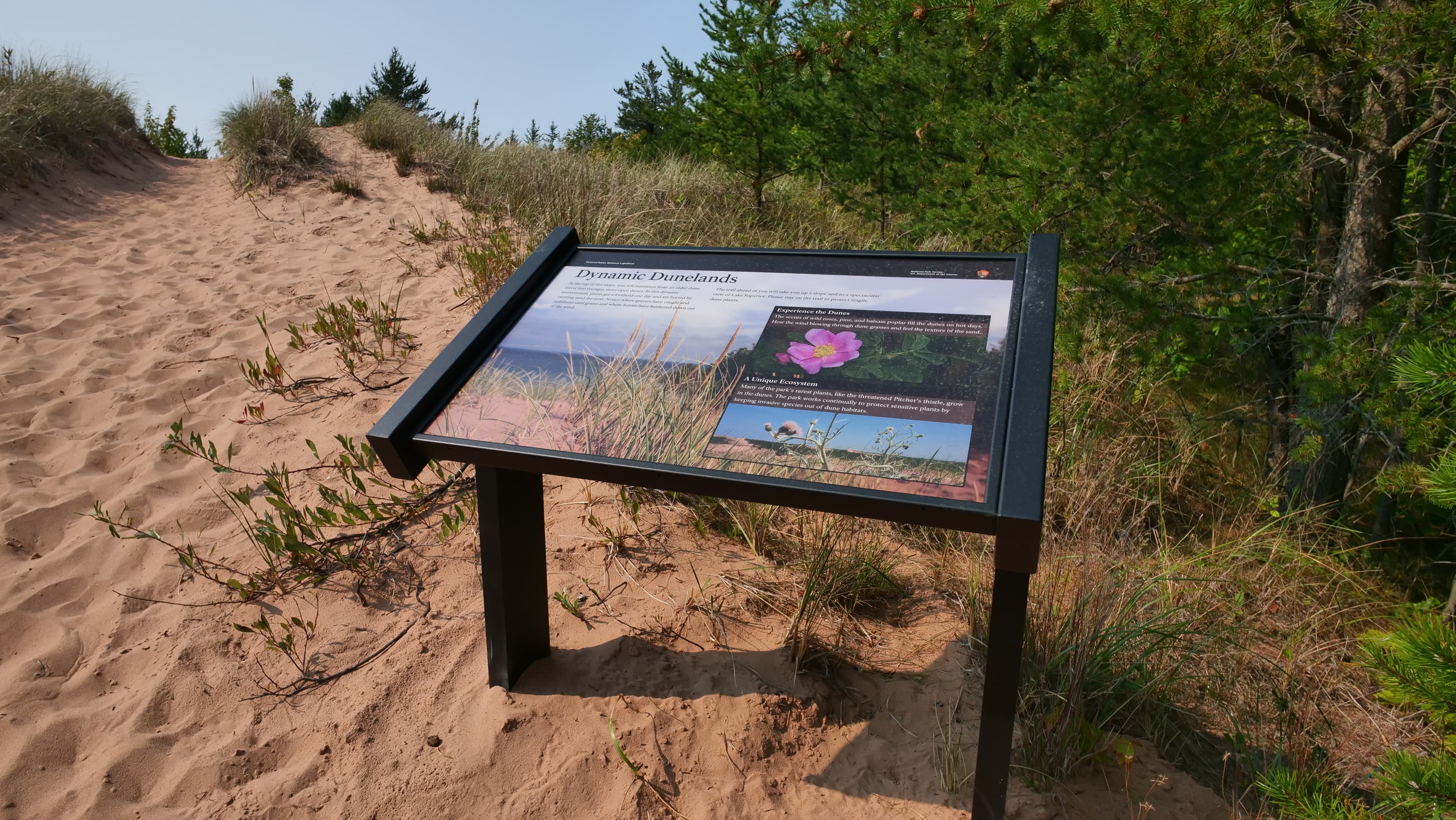
Interpretive Wayside Tour - Driving East to West
Waysides and audio descriptions for waysides in Pictured Rocks National Lakeshore, beginning in Grand Marais and heading towards Munising on County Road H-58.
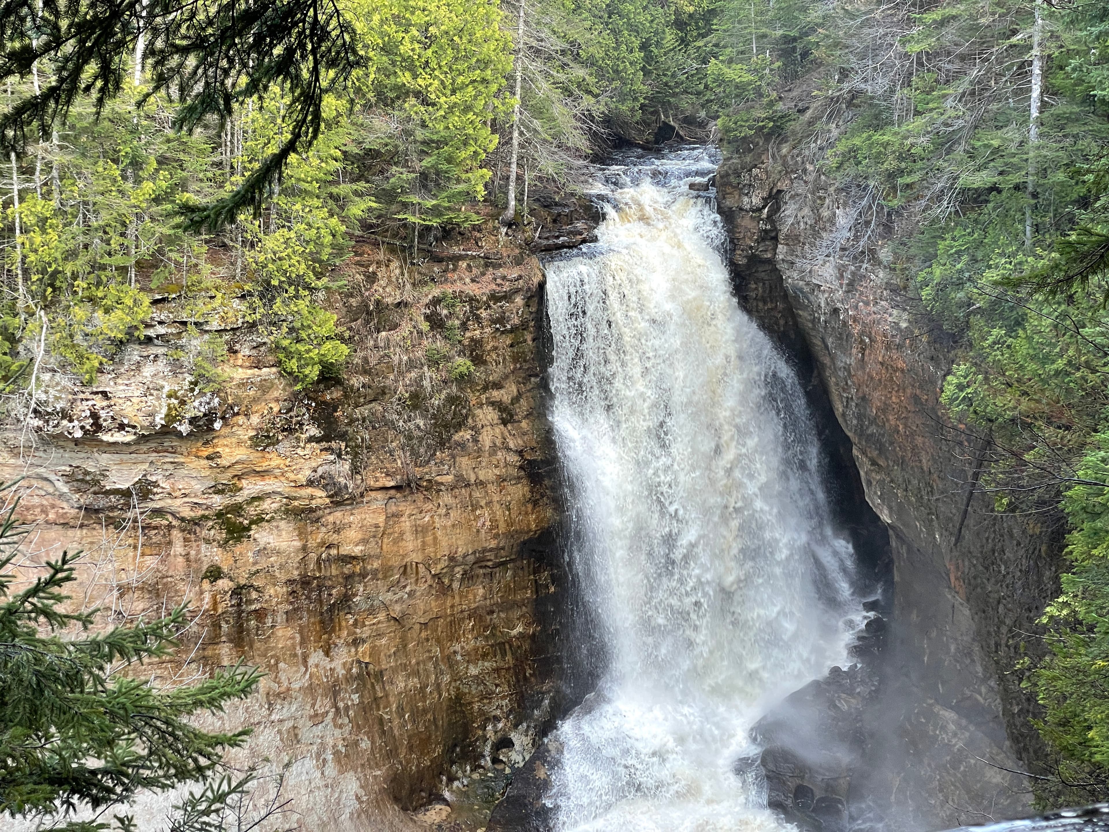
Waterfall Tour
Michigan's Upper Peninsula is famous for its many waterfalls - and the Pictured Rocks area has some of the most beautiful! This tour covers the easiest waterfalls within and nearby the park to access by vehicle. Walks to these waterfalls range in distance from just outside the parking area to 1.2 miles round trip. Driving from one end of the park to the other and back takes about 2.5 hours. Add another 1 - 2 hours to walk to and enjoy all six waterfalls.
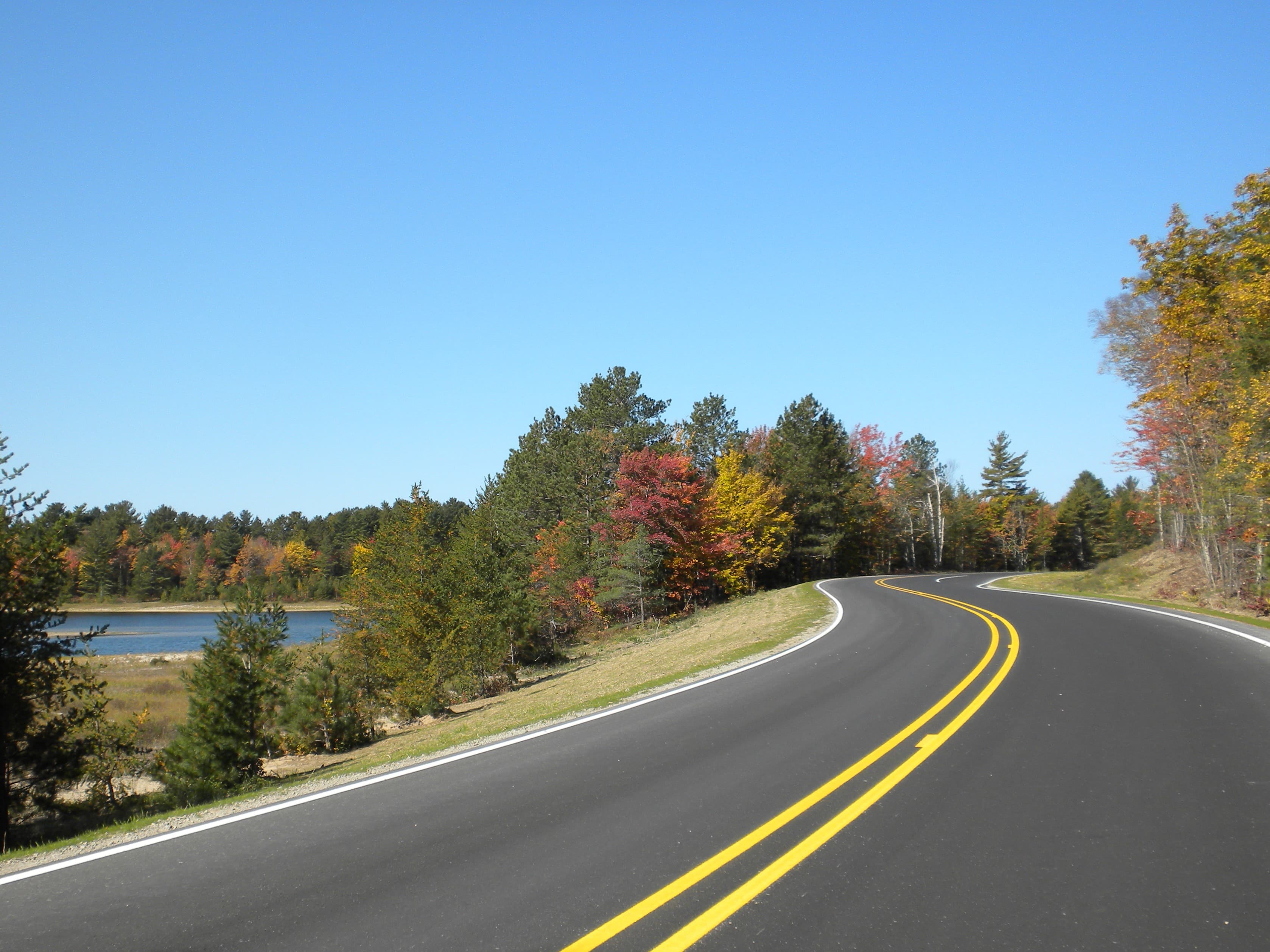
A Scenic Drive From West to East
A self-guided half day tour by vehicle that focuses mostly on driving from one end of the national lakeshore to the other, with some short walks to several of the park's most scenic sites and vistas. Tour duration depends on how long you spend at each spot - whether you are just getting a quick scenic view or taking time to do some additional exploring.
Visitor Centers
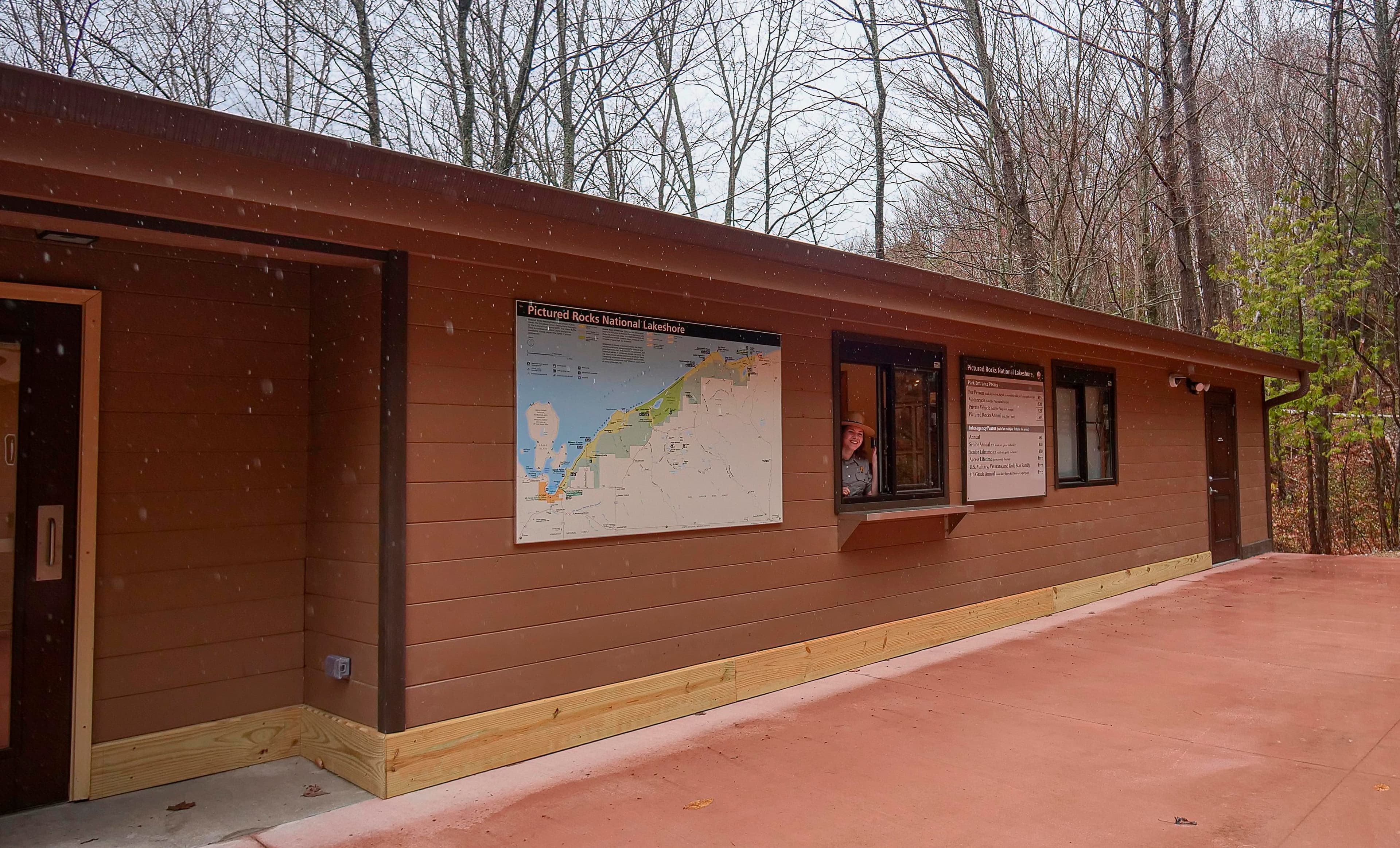
Munising Falls Visitor Center
See below for hours, directions, and contact information.
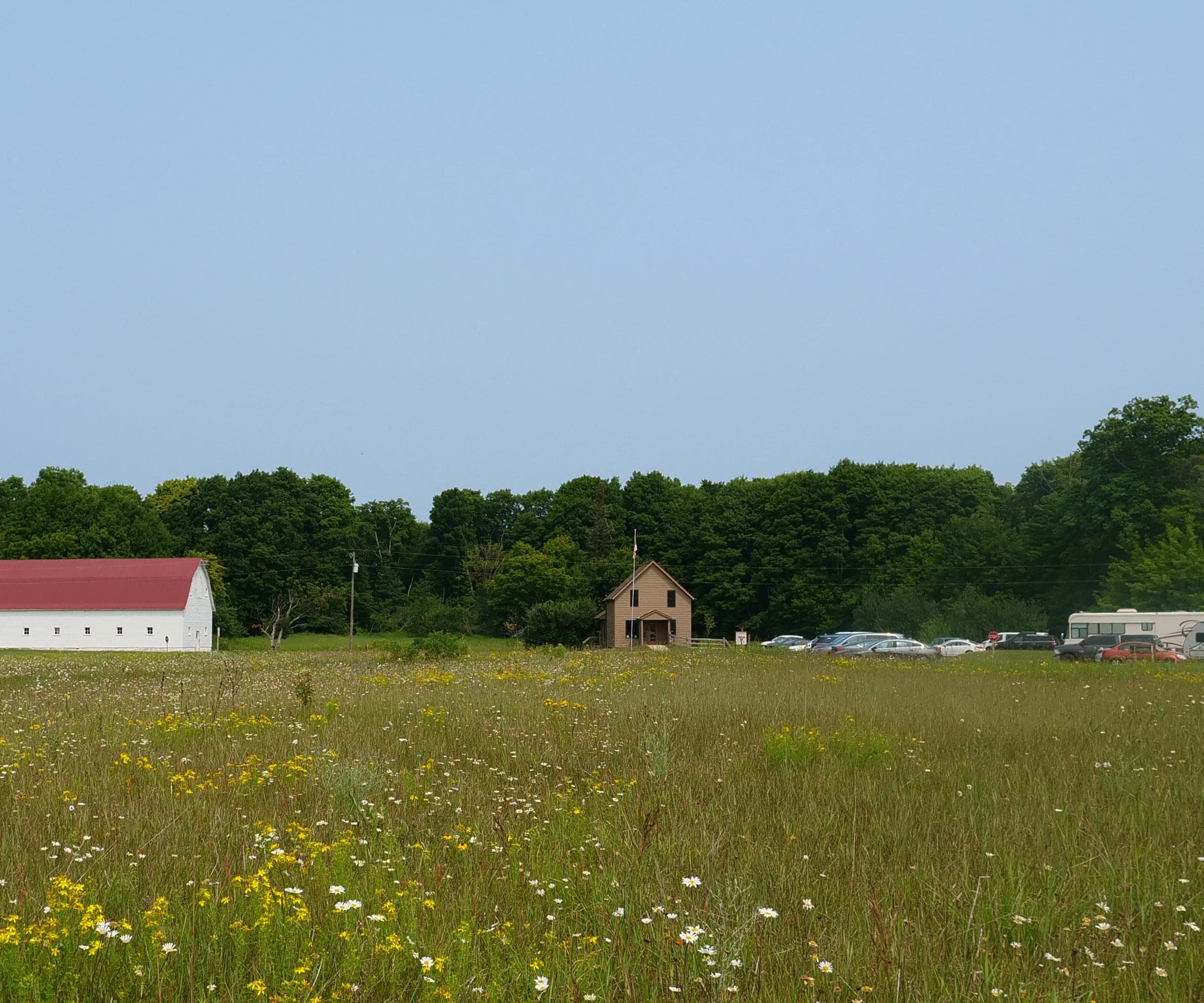
Grand Sable Visitor Center
See below for hours, directions, and contact information.
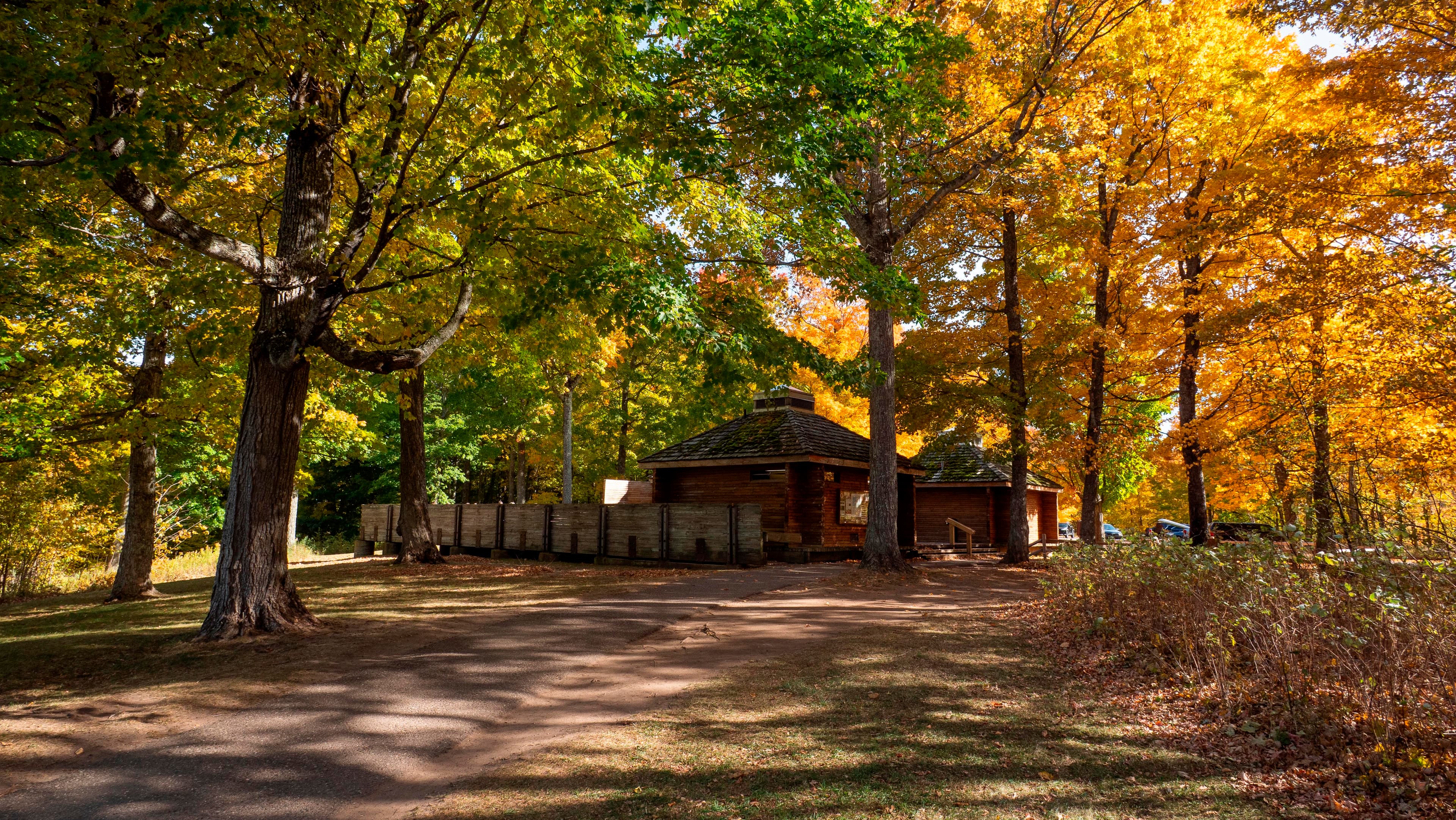
Miners Castle Visitor Contact Station
Buy your park pass and get trip-planning information!
Where to Stay
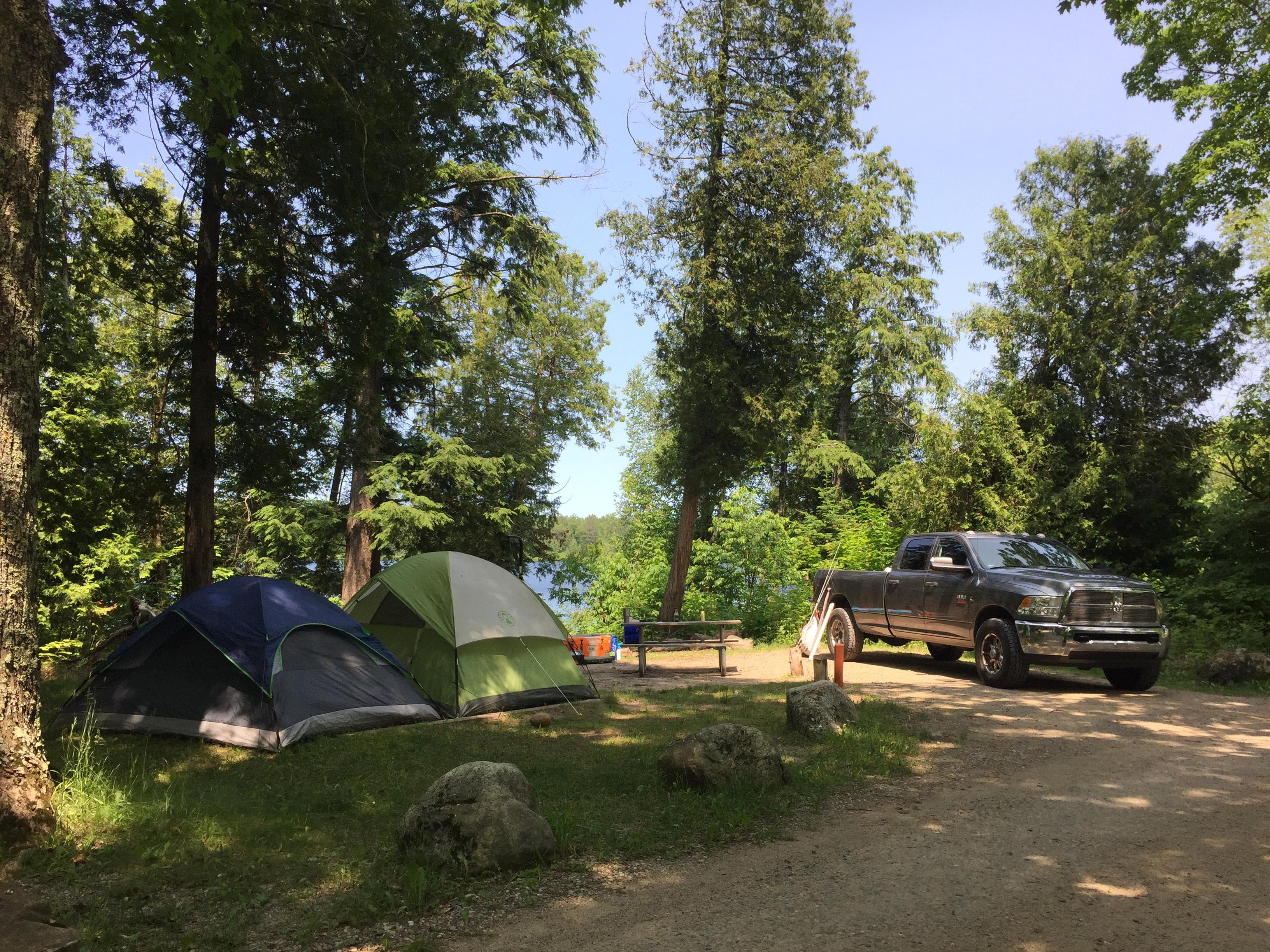
Little Beaver Lake Campground
Little Beaver Lake Campground has 8 campsites on a beautiful inland lake. One campsite is disabled- accessible. Single unit vehicles in excess of 36 feet and vehicle/trailer combined units in excess of 42 feet are prohibited at Little Beaver because of the small campsites and the narrow, twisting, hilly access road. Pets are NOT allowed at this campground. The campground is open by reservation only, mid-May through mid-October. Closed the rest of the year.
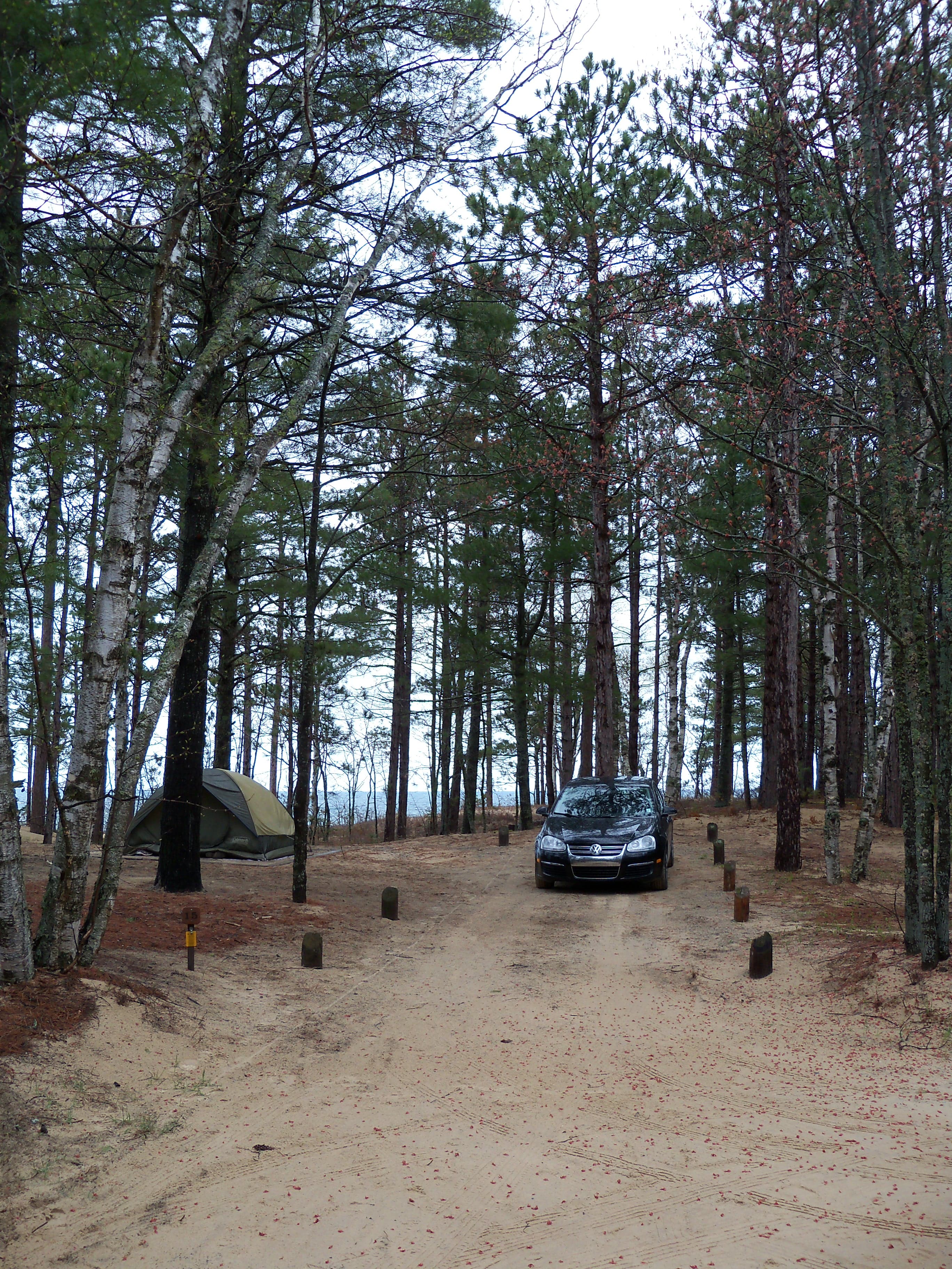
Twelvemile Beach Campground
The campground's 36 sites are located on a high sandy plateau above Twelvemile Beach on Lake Superior. Some sites have a lake view. There are two disabled-accessible campsites. Generator use is prohibited in the campground's west loop. There are three sets of stairs to the beach. The North Country National Scenic Trail treks through the campground. The 2-mile White Birch Nature Trail begins and ends here. The campground is open by reservation only, mid-May through mid-October. Leashed pets allowed.
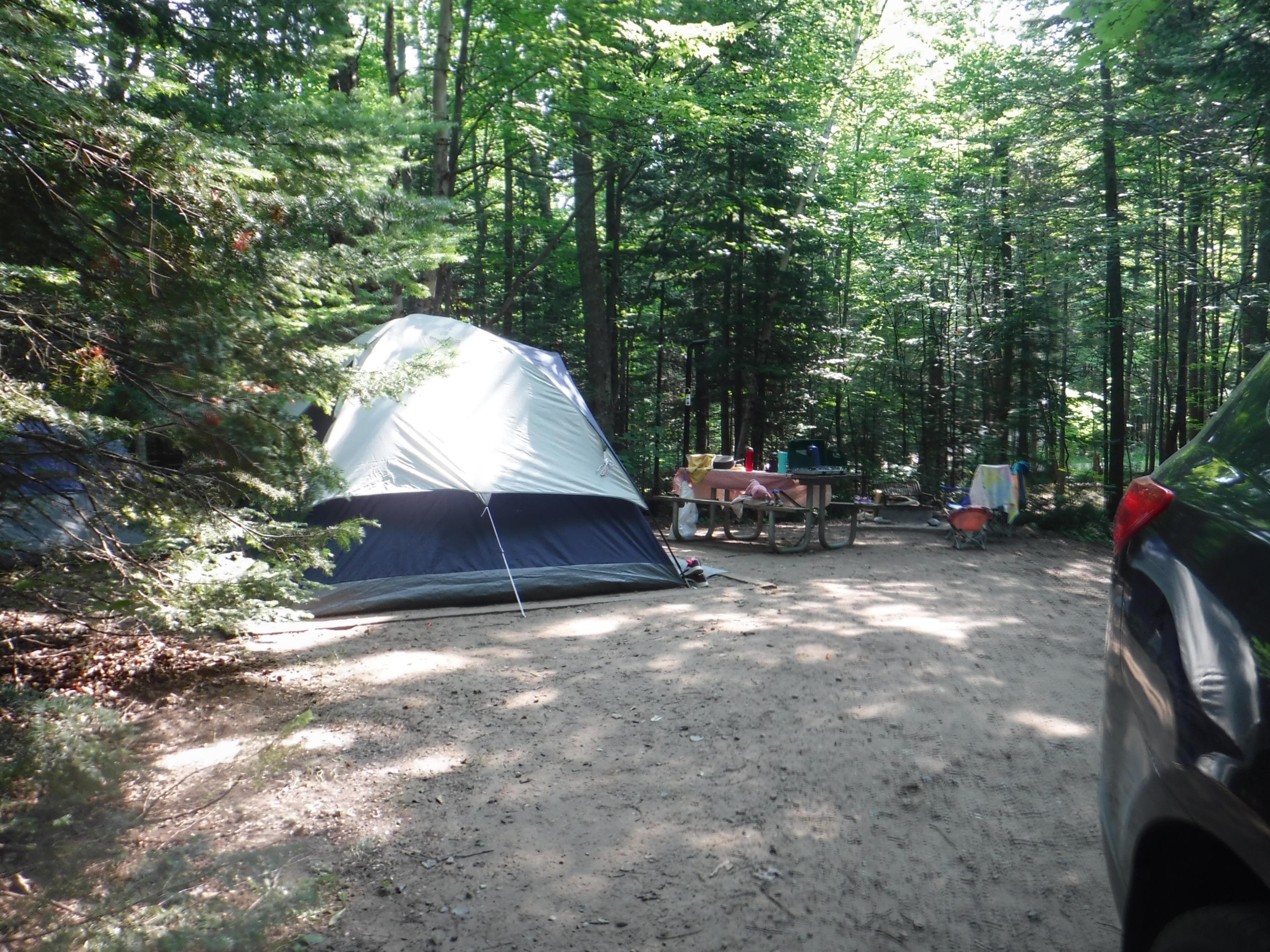
Hurricane River Campground
There are two loops: 11 campsites in the lower loop and ten in the upper loop. Both loops include one disabled- accessible campsite. Several campsites are designated as generator-free. Because the turning radius and some parking site lengths are limited within this campground, we recommend single vehicles no more than 36 feet and vehicle/trailer combined length no more than 42 feet use this campground. The campground is open by reservation only, mid-May through mid-October. Leashed pets allowed.
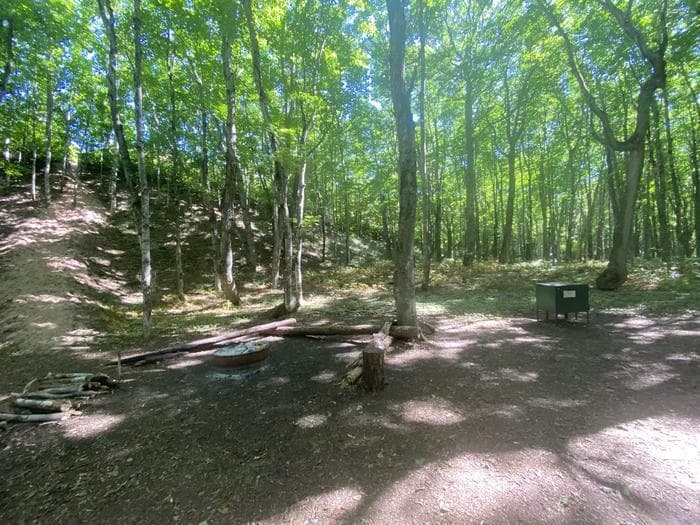
Masse Homestead Group Backpacking Site
Masse Homestead Group Campground is to the west of the regular campground. It too is at the base of the dunes in a thick forest canopy. One shared fire ring and NO toilet. Visitors must bring water. NO ACCESS TO WATER.
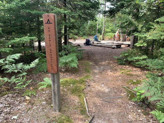
Au Sable East Group Backpacking Site
Au Sable Point East Group Campground is 0.2 miles west of the Au Sable Light Station and inland from the North Country Trail. The group campsite is surrounded by a coniferous forest. There is access to Lake Superior with a view of the Grand Sable Dunes. One shared fire ring and pit toilet. Water source is Lake Superior. Lake Superior access for kayakers.
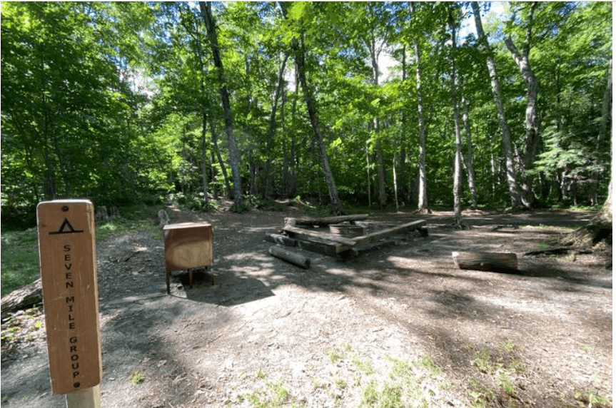
Sevenmile Creek Group Backpacking Site
Sevenmile Creek Group Campground is on the east side of Sevenmile Creek. The North Country Trail guides you over a foot bridge, through the woods and opens up into the group site. It is a wide-open area with access to Lake Superior. One shared fire ring and NO toilet. Water source is Sevenmile Creek and Lake Superior. Lake Superior access for kayakers.
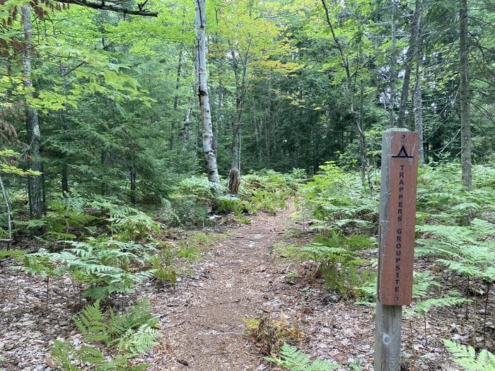
Trappers Lake Group Backpacking Site
Trappers Lake Group Campground is a little over a mile inland from the North Country Trail and 0.2 miles east of Trappers Lake Campground. It is on the north shore of Trappers Lake in the Beaver Basin Wilderness. One shared fire ring and pit toilet. Water source is Trappers Lake. This is a hike-in campground only; kayakers cannot access this campground.
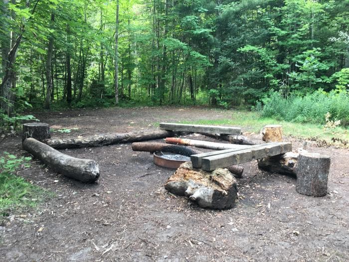
Lowney Creek Group Backpacking Site
Lowney Creek Group Campground is one mile from Little Beaver Lake Campground and 2.5 miles inland from Lake Superior. Lowney Creek Group Campground is in the Beaver Basin Wilderness. The trail to the campground follows the Beaver Lake shoreline. Water source is Beaver Lake. One shared fire ring and NO toilet. Water access to this campground is via Little Beaver Lake, then Beaver Lake.
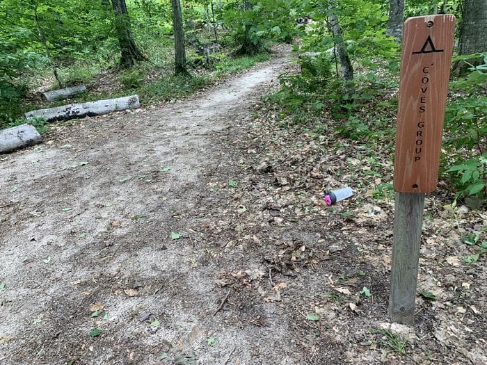
Coves Group Backpacking Site
Coves Group Campground is three miles east of Chapel Beach. You are still up on the cliff line, but have started your descent towards Twelvemile Beach. Hike east on the North Country Trail about a quarter mile to find a trail to a small cove and beach on Lake Superior; this is where you have access to water. One shared fire ring and pit toilet. No access for kayakers due to 1/4 mile portage.
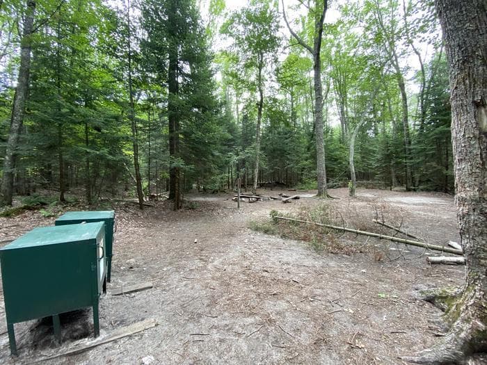
Mosquito River Group Backpacking Site
Mosquito River Group Campground is on the west side of Mosquito River just a few steps away from the North Country Trail. There is a bluff near the campsite overlooking Lake Superior, which provides easy access to Mosquito Beach and the river. Shared pit toilet. Water source is Mosquito River and Lake Superior. Lake Superior access for kayakers. NO CAMPFIRES.
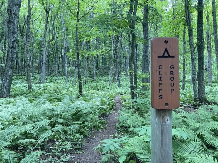
Cliffs Group Backpacking Site
Cliffs Group Campground is one mile east of Cliffs Campground. It lies high above Lake Superior and inland from the North Country Trail. You will not be able to see the lake from the campground in the summer. There are spots along the North Country Trail near the campground to get a glimpse of Grand Island and Lake Superior. One shared fired ring and pit toilet. Visitors must bring water. NO ACCESS TO WATER.
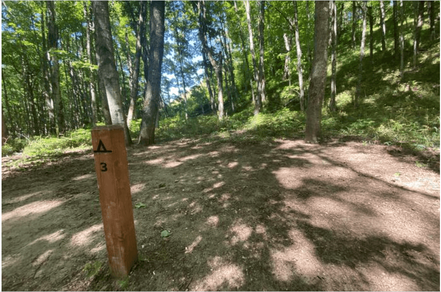
Masse Homestead Individual Backpacking Sites
Masse Homestead Campground is at the base of the dunes (south side) and sheltered due to the thick forest canopy. The three campsites are close together at the base of the dunes. One shared fire ring and NO toilet. Visitors must bring water. NO ACCESS TO WATER.
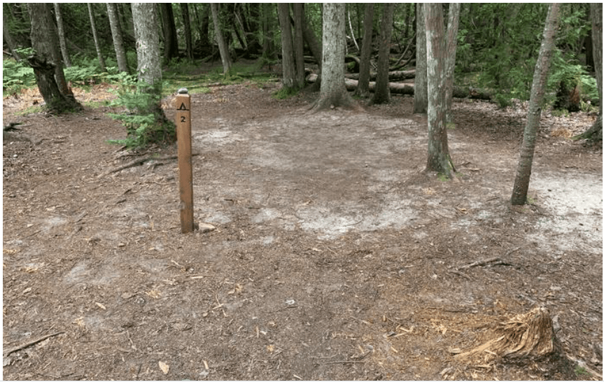
Au Sable East Individual Backpacking Sites
Au Sable Point East Campground is next to the Au Sable Point East Group Campground. Due to the dense forest, you are unable to see the neighboring campground. The six campsites are scattered throughout the trees. Shared fire ring and pit toilet. Water source is Lake Superior. Lake Superior access for kayakers
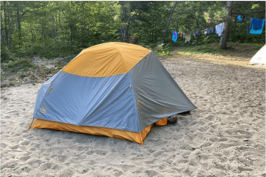
Benchmark Individual Backpacking Sites
Benchmark Campground is on a sandy bluff above Lake Superior. The six campsites are sandy and open. There are social trails that lead down to Lake Superior, but it is a steep climb back to your campsite. When hiking from the west, walk through Twelvemile Beach Campground to the trailhead and day use area to connect back to the North Country Trail. Two shared fire rings and a pit toilet. Water source is Lake Superior. Lake Superior access for kayakers.
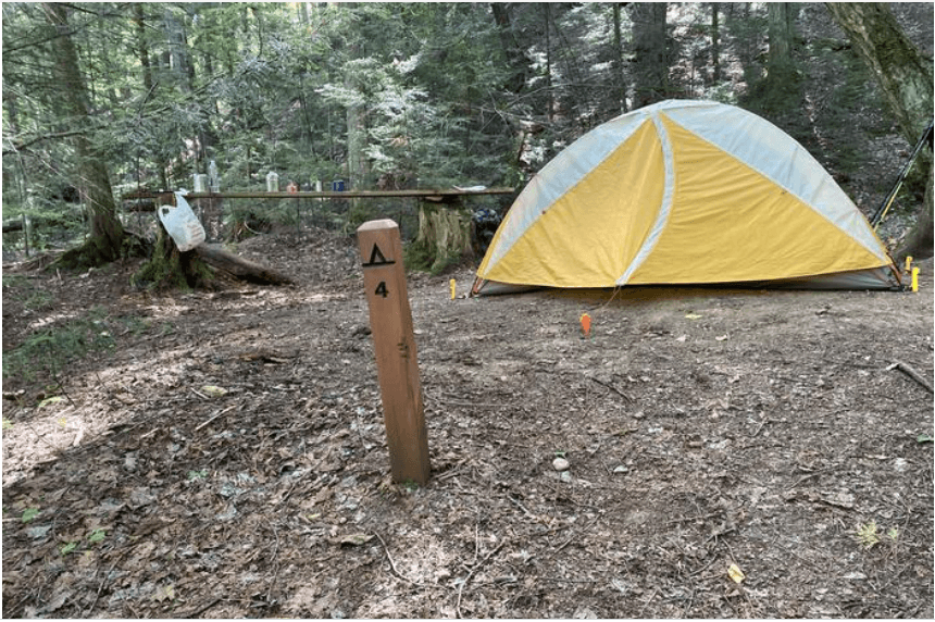
Sevenmile Creek Individual Backpacking Sites
Sevenmile Creek Campground is on the west bank of Sevenmile Creek. The North Country Trail wanders through the campground and past the communal fire ring. The sites are separated by trees, which offer a bit of privacy. Three of the five sites are along the creek. Lake Superior access is on the east side of the creek through the Sevenmile Creek Group Campground. NO toilet. Water source is Sevenmile Creek and Lake Superior. Lake Superior access for kayakers.
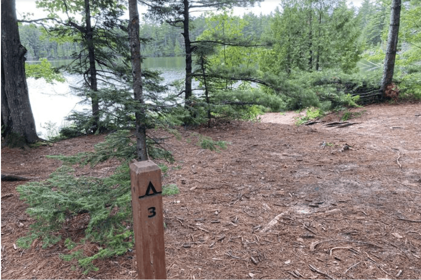
Trappers Lake Individual Backpacking Sites
Trappers Lake Campground is in the heart of the Beaver Basin Wilderness. The five campsites are on the north shore of Trappers Lake. This campground is a quiet hideaway located about one mile inland from the North Country Trail. One shared fire ring and pit toilet. Water source is Trappers Lake. This is a hike-in campground only; kayakers cannot access this campground.
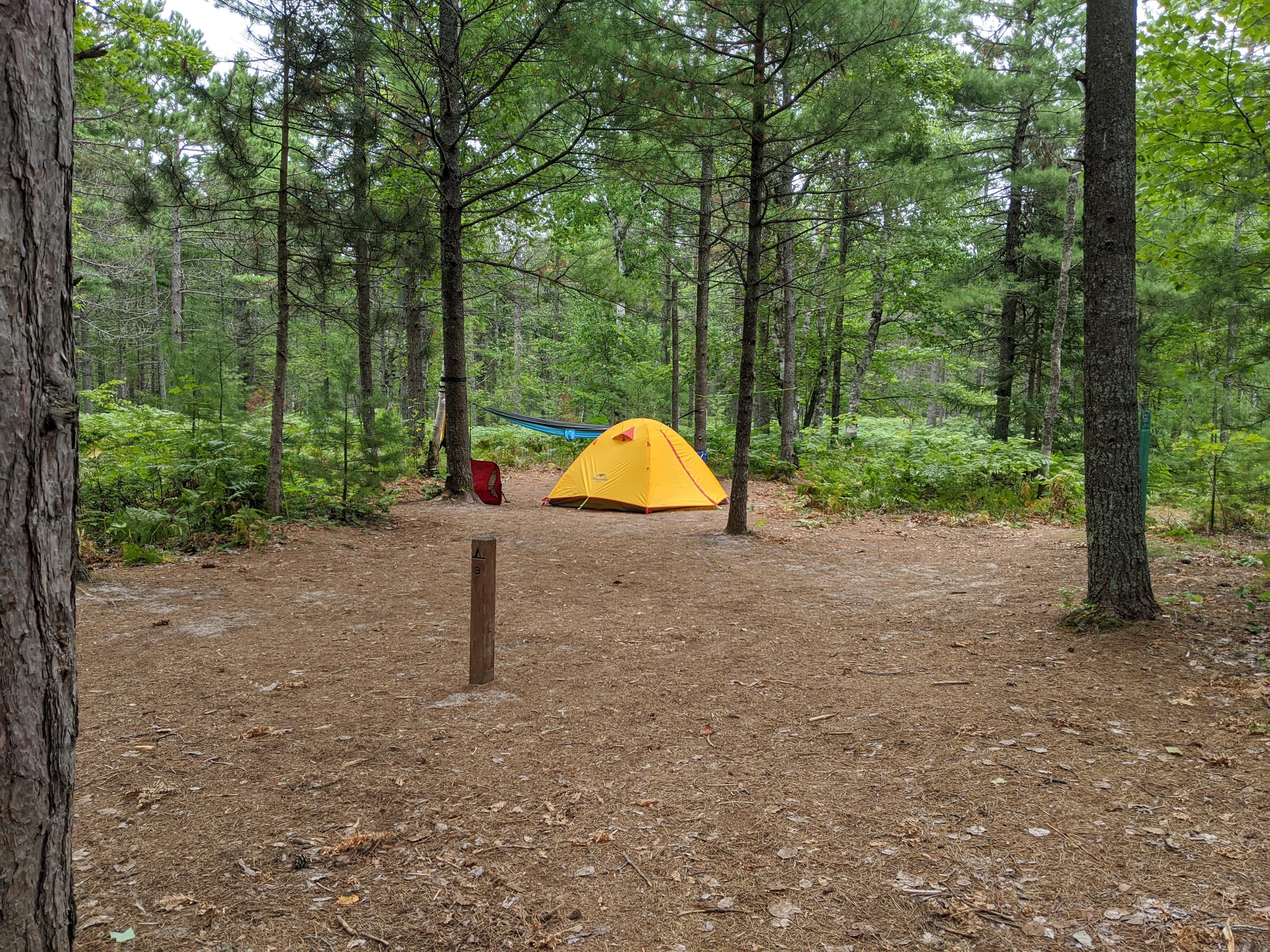
Pine Bluff Individual Backpacking Sites
Pine Bluff sites are on a sandy bluff above Lake Superior just off the North Country Trail. The five campsites are on a sandy open area covered in ferns with pine trees scattered throughout the area. Access the beach and Lake Superior from a trail on the bluff at the entrance to the campground.
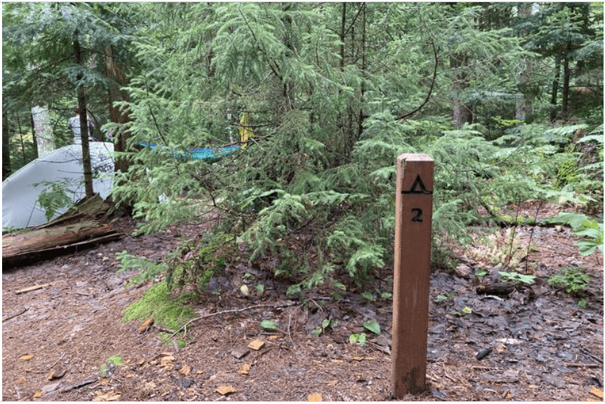
Chapel Individual Backpacking Sites
Chapel Beach Campground sits on the sand bluff above Chapel Beach and Lake Superior. Chapel Beach is a popular day use area, so the six sites here offer less isolation than other backcountry campgrounds. Shared pit toilet. Water source is Chapel Creek and Lake Superior. Lake Superior access for kayakers. NO CAMPFIRES.
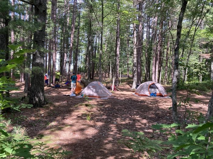
Beaver Creek Individual Backpacking Sites
Beaver Creek Campground is on the bluff above Lake Superior and Beaver Creek in the Beaver Basin Wilderness. The six campsites are dispersed throughout the sandy grounds, shaded by pine trees. There is one communal fire ring with a view of Lake Superior. Shared pit toilet. Water source is Lake Superior and Beaver Creek. Lake Superior access for kayakers.
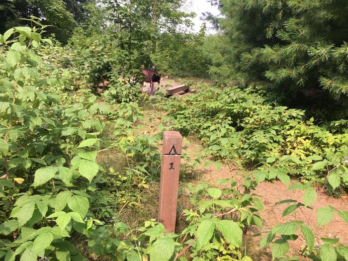
Lowney Creek Individual Backpacking Sites
Lowney Creek Campground is 1.5 miles from Little Beaver Lake Campground and three miles inland from Lake Superior. Lowney Creek Campground is in the Beaver Basin Wilderness. The four sites are in a meadow scattered with big trees on the south shore of Beaver Lake. Lowney Creek is on the east side of the campground. One shared fire ring and NO toilet. Water source is Lowney Creek and Beaver Lake. Water access to the campground is via Little Beaver Lake, then Beaver Lake.
Getting Here & Transit
How to Get Here
Pictured Rocks NL is located on the south shore of Lake Superior in Michigan's Upper Peninsula, between the towns of Munising (west) and Grand Marais (east). Access the west side of the park via Michigan highways M-28 and M-94 to Munising. State highway M-77 leads to Grand Marais on the east side. Alger County Road H-58 runs parallel and through the park, providing access to spur roads that lead to scenic overlooks, trailheads, campgrounds, beaches, etc. Most park roads are closed in winter due to snow.
Park Amenities
Entrance Fees & Passes
Standard Fees
Entrance - Private Vehicle
$25.00This pass admits the driver and all passengers in a private-use vehicle for seven consecutive days to all areas of Pictured Rocks National Lakeshore. This fee does not cover additional fees associated with activities such as camping or commercial tours.
Entrance - Motorcycle
$20.00Valid for 7 days. Admits up to 2 private, non-commercial motorcycles with up to 4 total passengers to all areas of Pictured Rocks National Lakeshore. This fee does not cover additional fees associated with activities such as camping or commercial tours.
Entrance - Snowmobile
$15.00This pass admits a snowmobile to all parts of Pictured Rocks National Lakeshore for 7 consecutive days. This fee does not cover additional fees associated with activities such as camping or commercial tours.
Entrance - Per Person
$15.00This pass admits one walk-in, bicycle-in, or boat-in person to all parts of Pictured Rocks National Lakeshore. This fee does not cover additional fees associated with activities such as camping or commercial tours.
Commercial Entrance - Sedan
$25.00This admits a commercial sedan to all areas of Pictured Rocks National Lakeshore. The flat rate for this pass is $25, plus an additional $5 per person age 16+. This fee does not cover additional fees associated with activities such as camping or commercial tours.
Commercial Entrance - Van
$40.00This pass admits a commercial van with a capacity of 7-16 persons, regardless of capacity, to all parts of Pictured Rocks National Lakeshore. This fee does not cover additional fees associated with activities such as camping or commercial tours.
Commercial Entrance - Mini-bus
$40.00This fee admits a commercial mini-bus to all parts of Pictured Rocks National Lakeshore. A mini-bus is defined as a vehicle with a 16-25 person capacity. The fee is charged regardless of occupancy of the vehicle. This fee does not cover additional fees associated with activities such as camping or commercial tours.
Commercial Entrance - Motor Coach
$100.00This fee applies to commercial vehicles with a 26+ person vehicle capacity, regardless of occupancy. This fee does not cover additional fees associated with activities such as camping or commercial tours.
Annual & Lifetime Passes
Annual Entrance - Park
$45.00This annual pass is specific to Pictured Rocks National Lakeshore. It admits a driver and passengers in a private vehicle, or the cardholder plus three additional people to the park for 12 months from the purchase month. This pass does not cover other fees associated with activities such as camping or commercial tours.
Operating Hours
Pictured Rocks National Lakeshore
Pictured Rocks National Lakeshore is open year-round, 24 hours a day, though most roads are closed by snow in the winter. Sand Point Road is the only park road plowed in winter.
- MondayAll Day
- TuesdayAll Day
- WednesdayAll Day
- ThursdayAll Day
- FridayAll Day
- SaturdayAll Day
- SundayAll Day
Photos
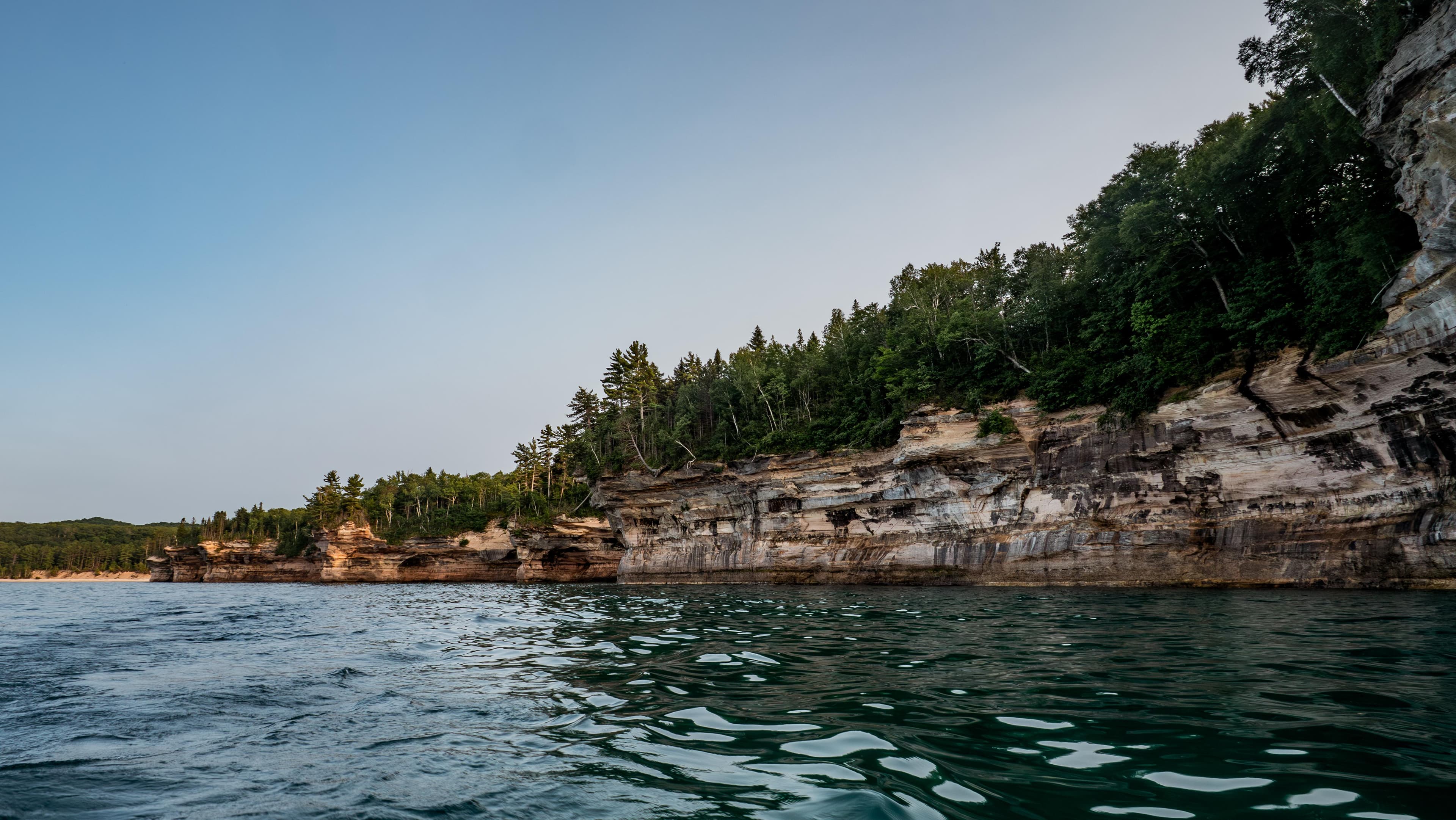
Multi-colored sandstone cliffs rise out of Lake Superior
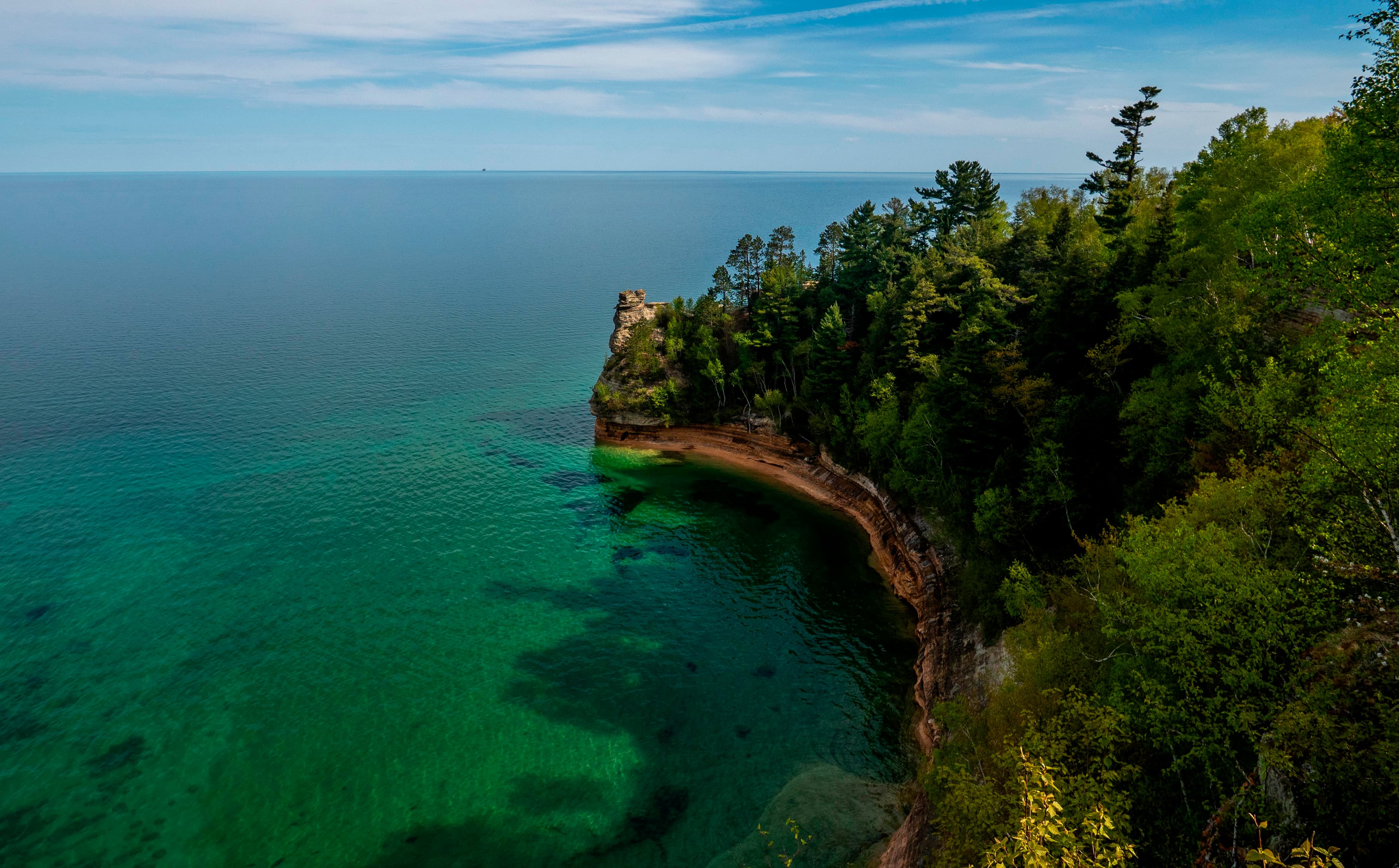
A sandstone rock formation rises out of a blue-green Lake Superior on a sunny day.
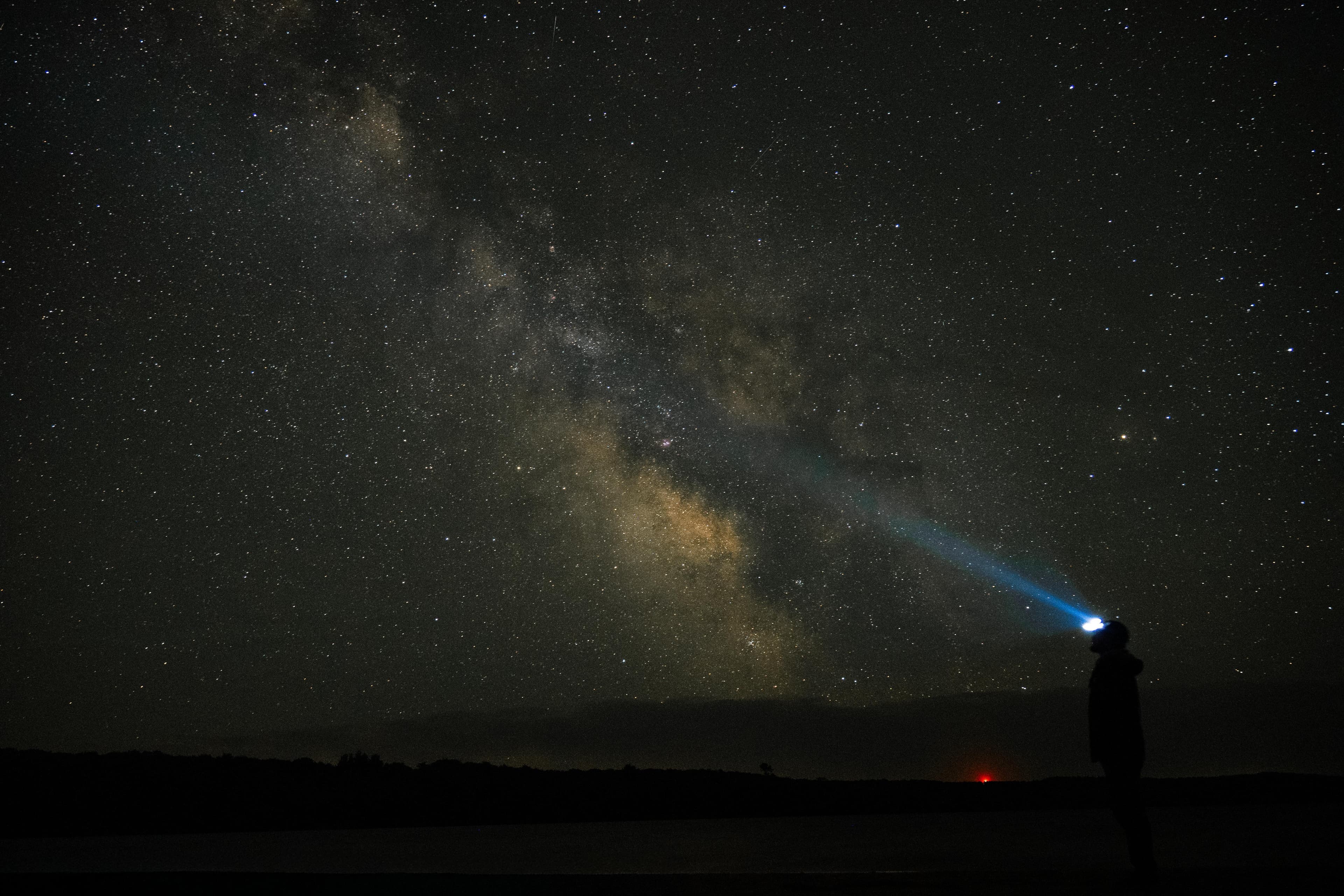
A person in a headlamp looks skyward at the milky way on a clear night
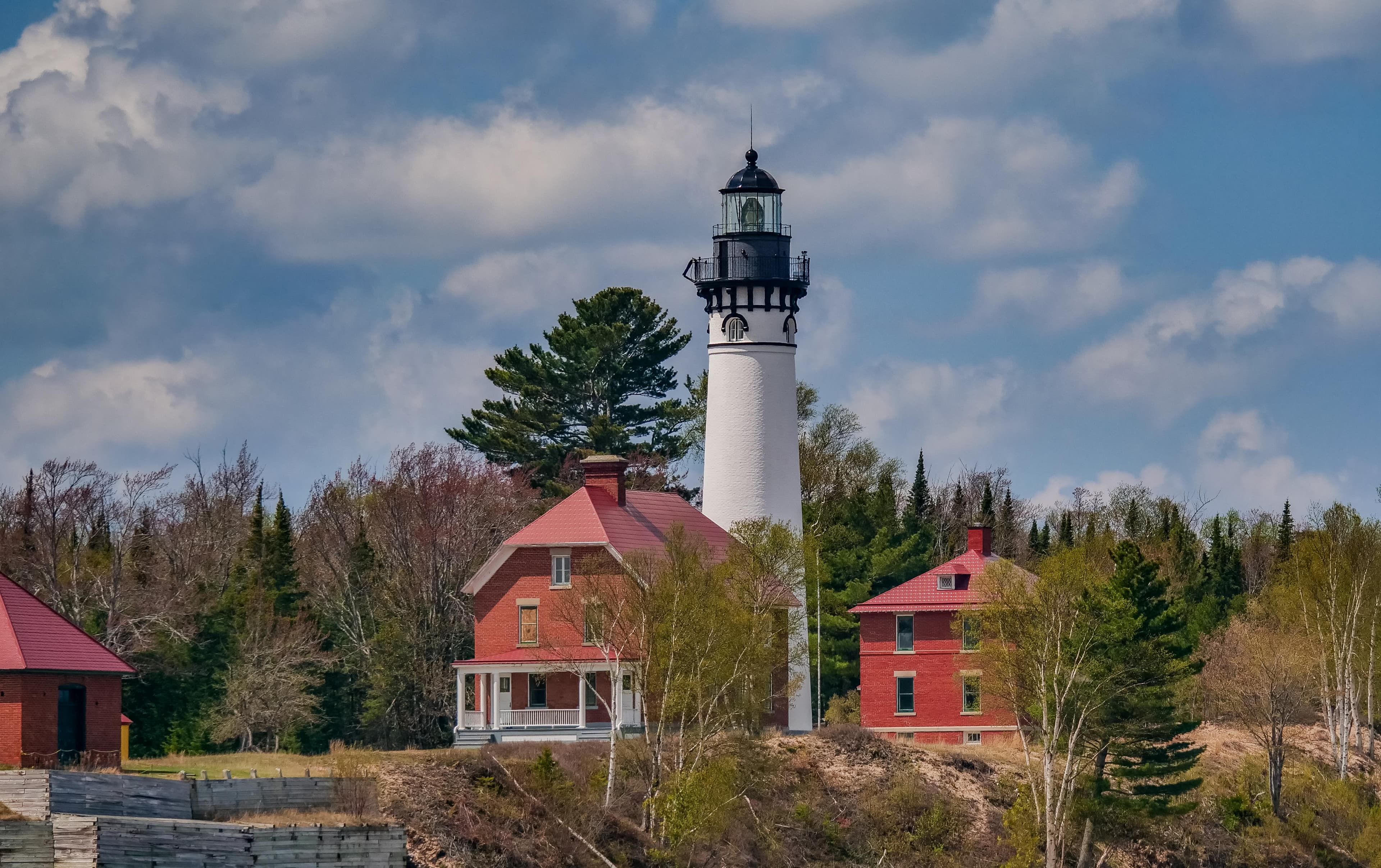
A white lighthouse tower surrounded by red brick buildings on a sunny day.
When to Go
Crowd CalendarPlan your trip around peak seasons to avoid crowds or embrace the energy of the busy months. Our crowd predictions are based on historical NPS Visitor Use Statistics.
Jan
Feb
Mar
Apr
May
Jun
Jul
Aug
Sep
Oct
Nov
Dec
Build your Pictured Rocks itinerary
Tell Miza your dates, pace, and interests—get a day-by-day plan with hikes, drives, and must-see stops.
Best Time
May-September
Trip Length
1 day
Searching for the best hotel deals near Pictured Rocks National Lakeshore...
Planning Pictured Rocks National Lakeshore
These common questions go deeper into logistics and planning. For real-time updates on road closures and current conditions, always check the Alerts section above.