
Park Hours (Today)
All Day
Tekakapimək Contact Station: 10:00AM - 4:00PM
Miza AI
Plan your Katahdin Woods and Waters trip
About the Park
Spread across a wild landscape offering spectacular views of Katahdin, Katahdin Woods and Waters invites discovery of its rivers, streams, woods, flora, fauna, geology, and the night skies that have attracted humans for millennia.

Ready to explore Katahdin Woods and Waters National Monument?
Take the stress out of planning. Our AI will automatically sequence your stops, find the best hotels, and optimize your driving time in seconds.
What to See & Do
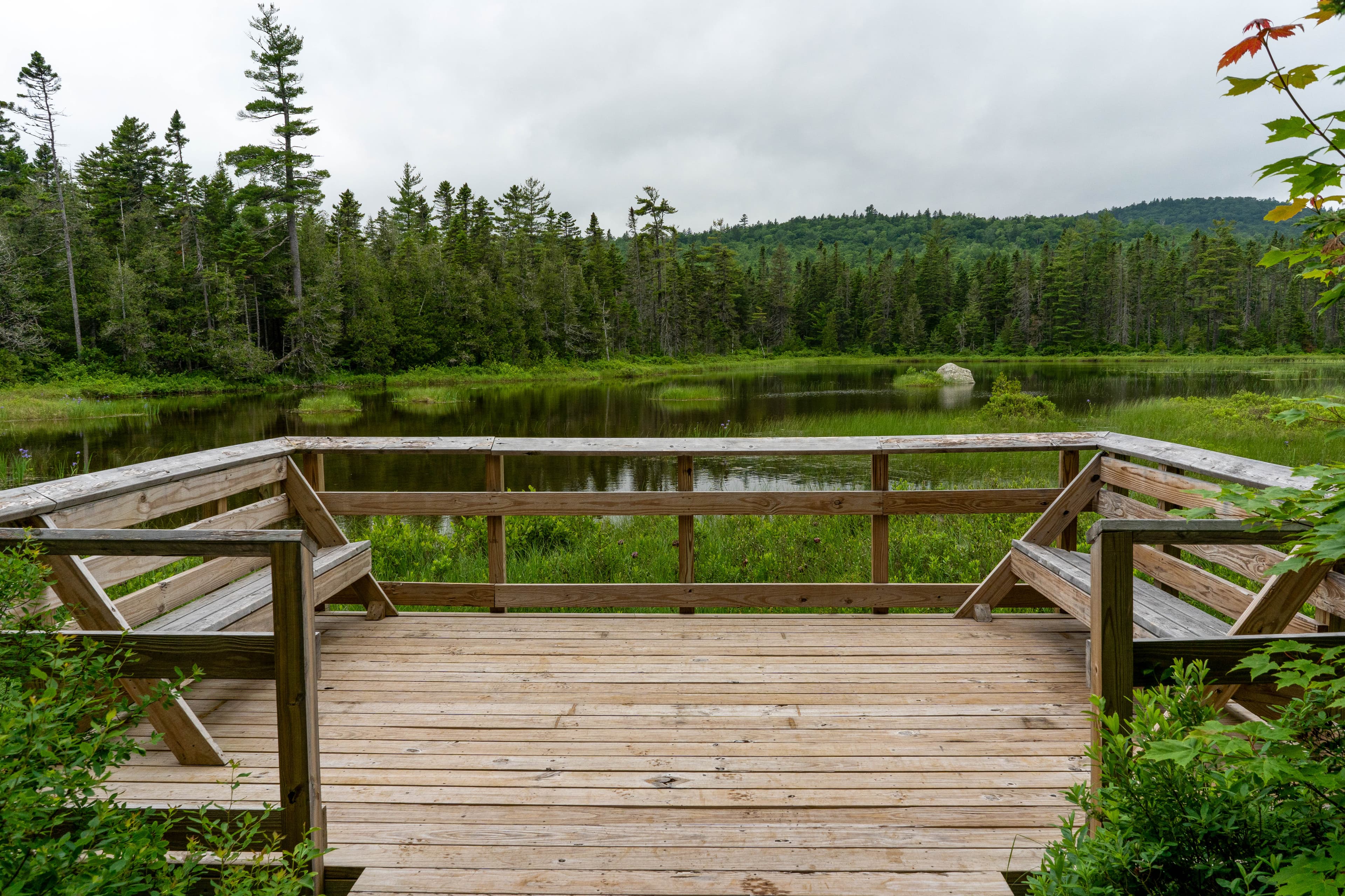
Hike Deasey Ponds Trail
Hike to Deasey Ponds by taking an easy 1.4 mile (round-trip) trail located at the southern area of the monument. From the parking lot, there is an option to extend your hike to view another wetland habitat.
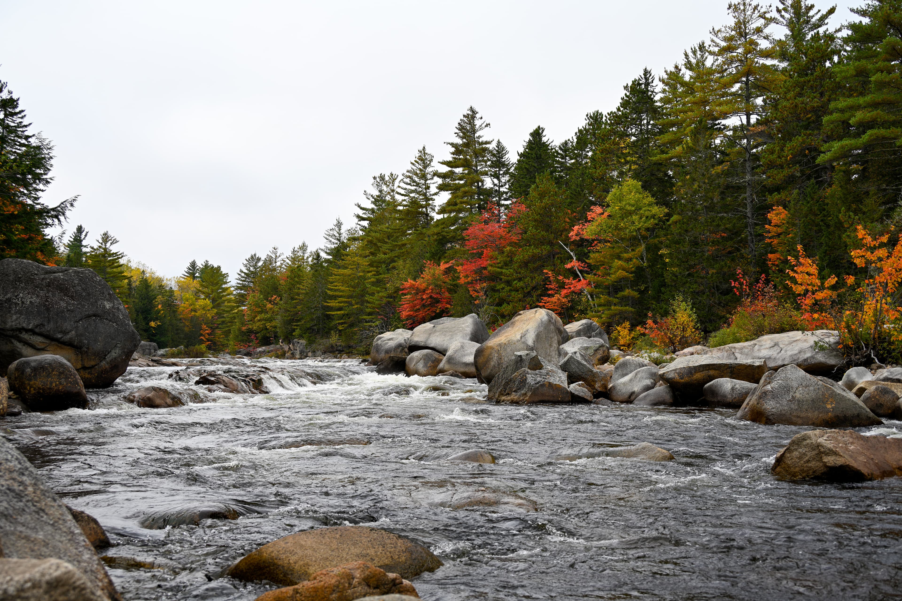
Hike To Orin Falls
Hike to Orin Falls for a magnificent view of a cascading waterfall.
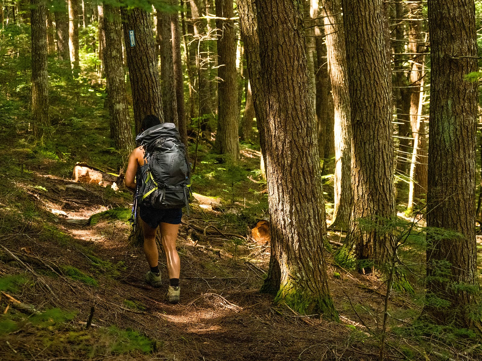
Hike the International Appalachian Trail
Hike a segment of the International Appalachian Trail that connects the southern section to the northern section of the monument.
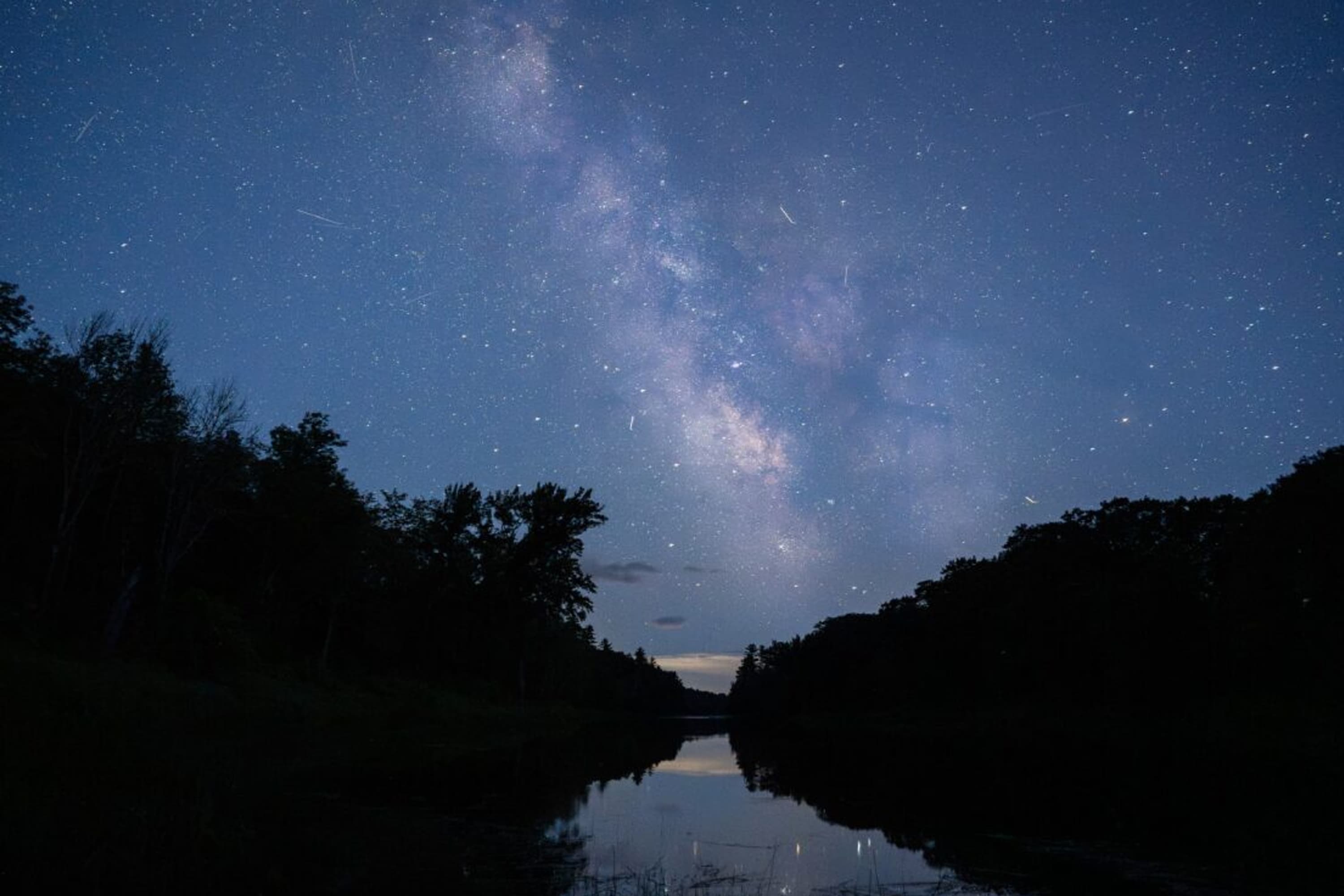
Stargaze at Katahdin Woods and Waters National Monument
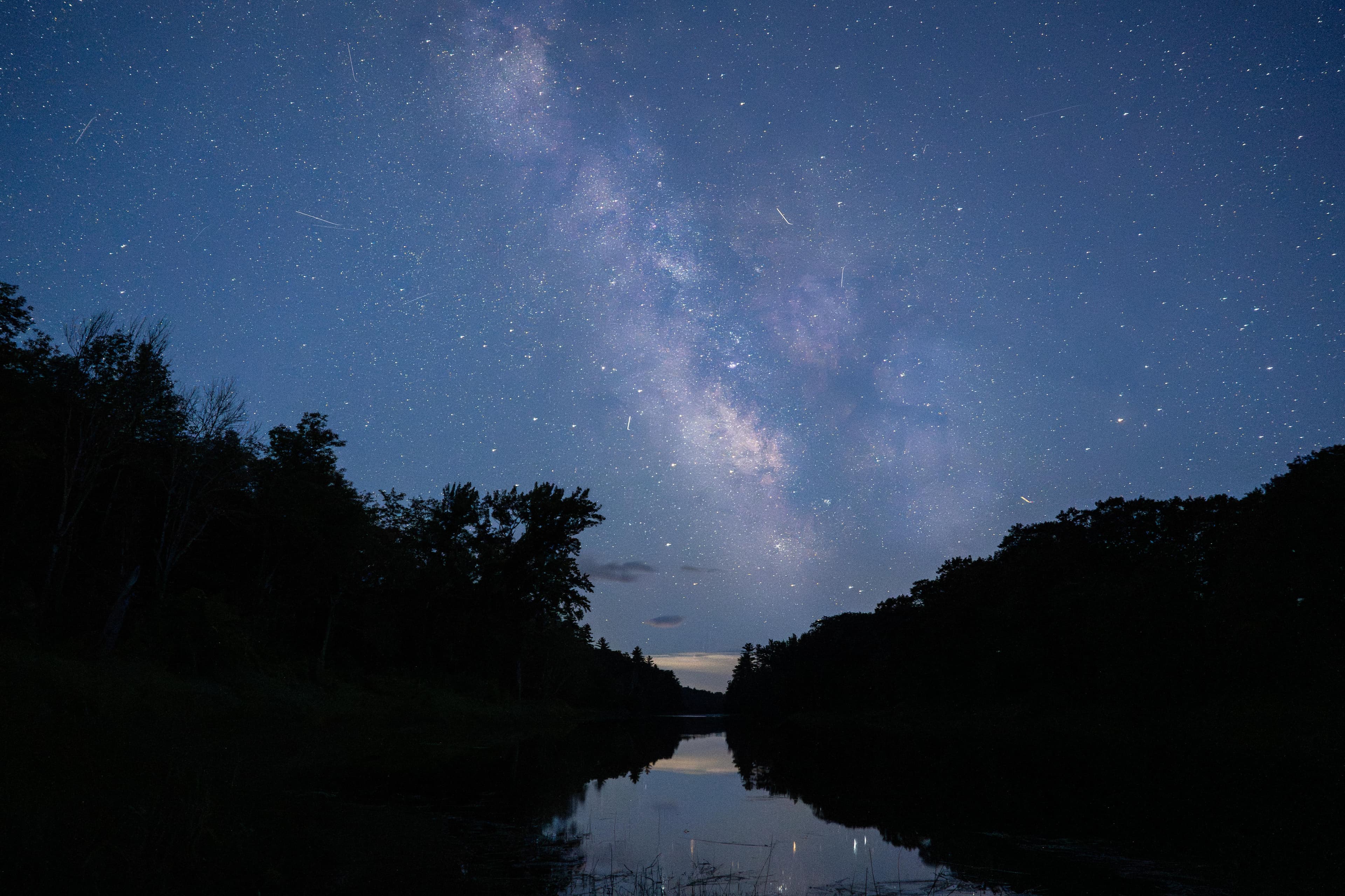
Enjoy stargazing in an International Dark Sky Sanctuary with some of the darkest skies east of the Mississippi!
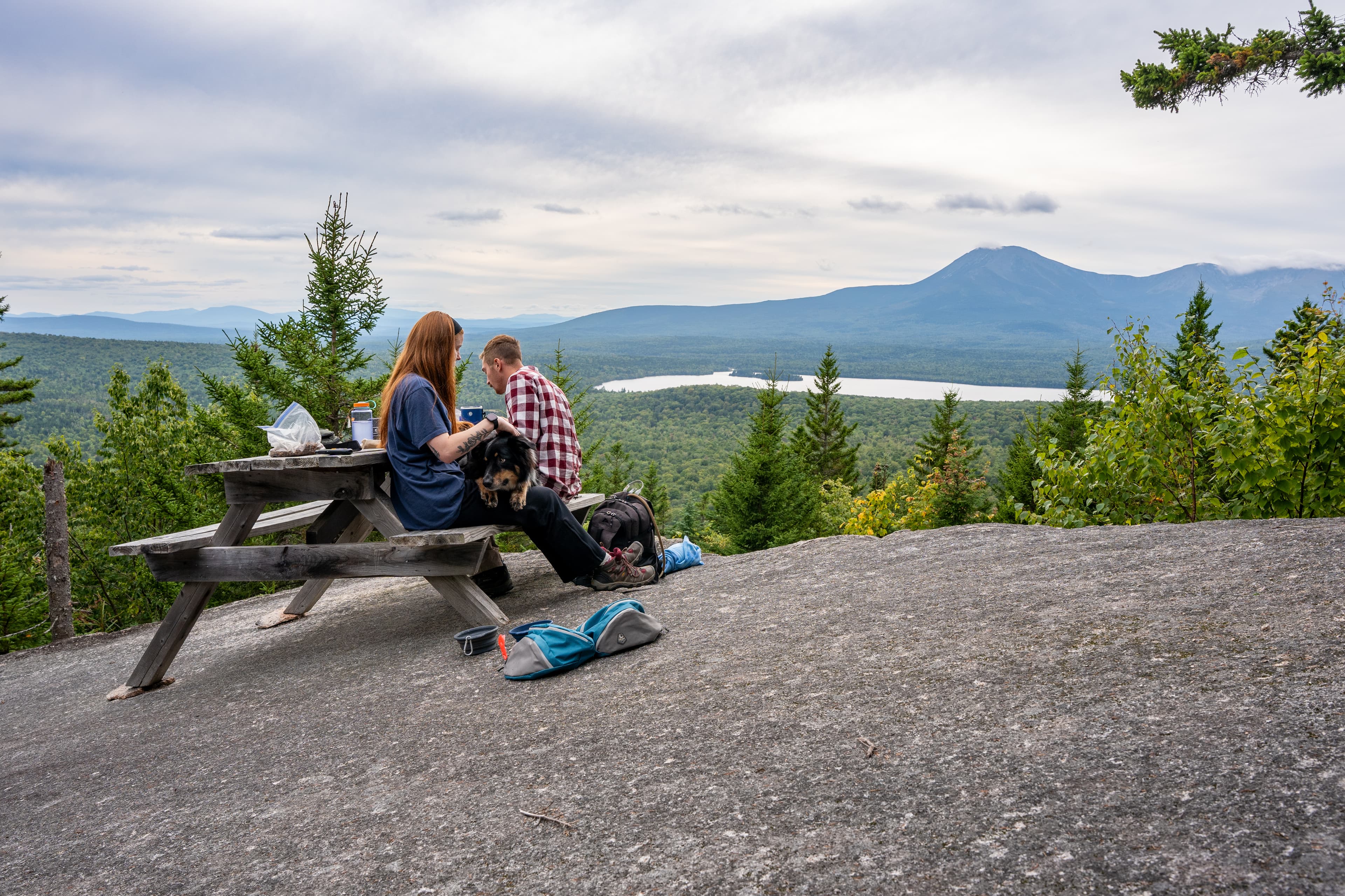
Hike To Barnard Mountain
Hike to the top of 1,558ft Barnard Mountain for a magnificent and expansive viewpoint of Katahdin Lake and Mt. Katahdin.
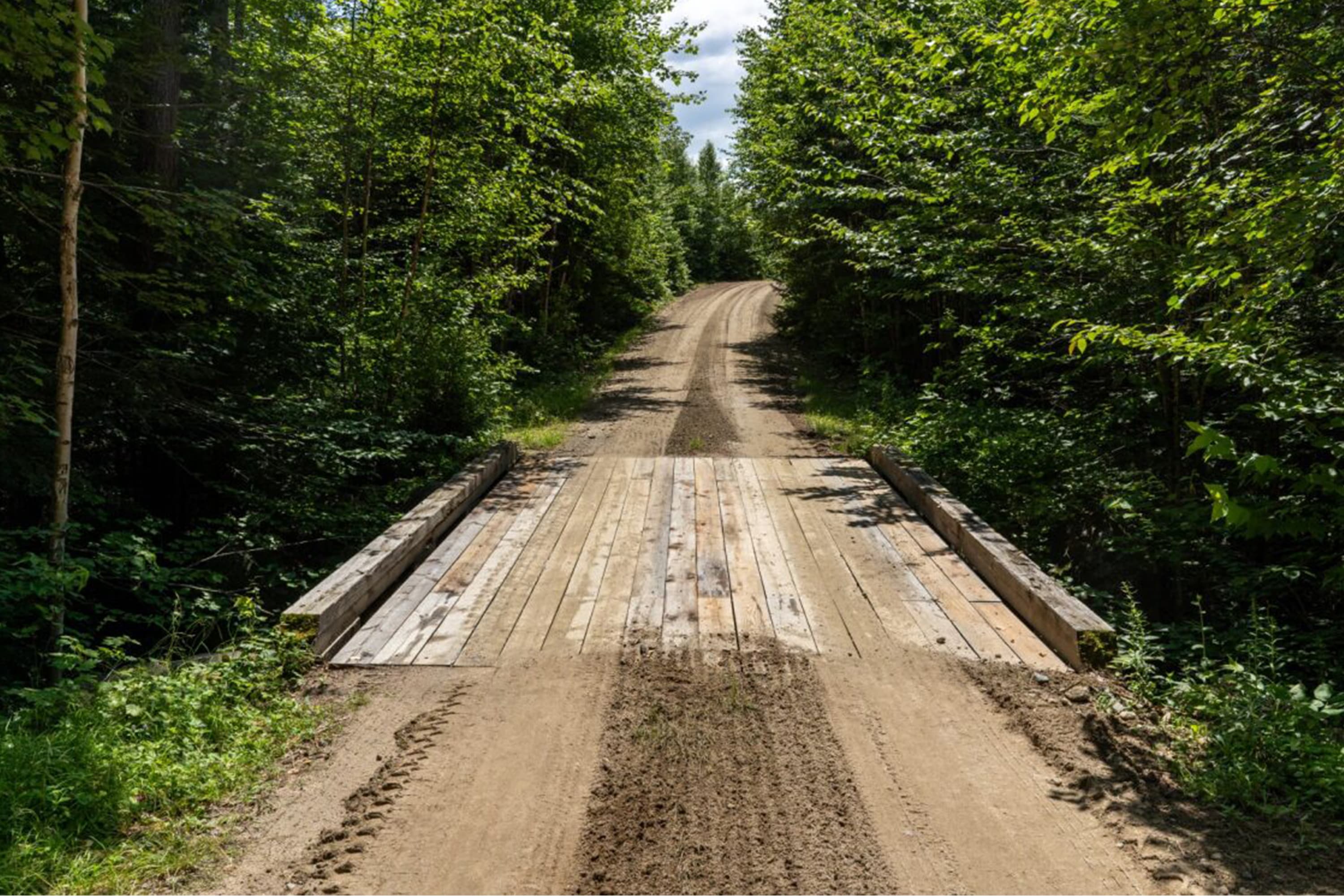
Bike the Katahdin Loop Road
The Katahdin Loop Road is a 17 mile loop starting on the Swift Brook Road past Sandbank Stream Campground.
Self-Guided Tours
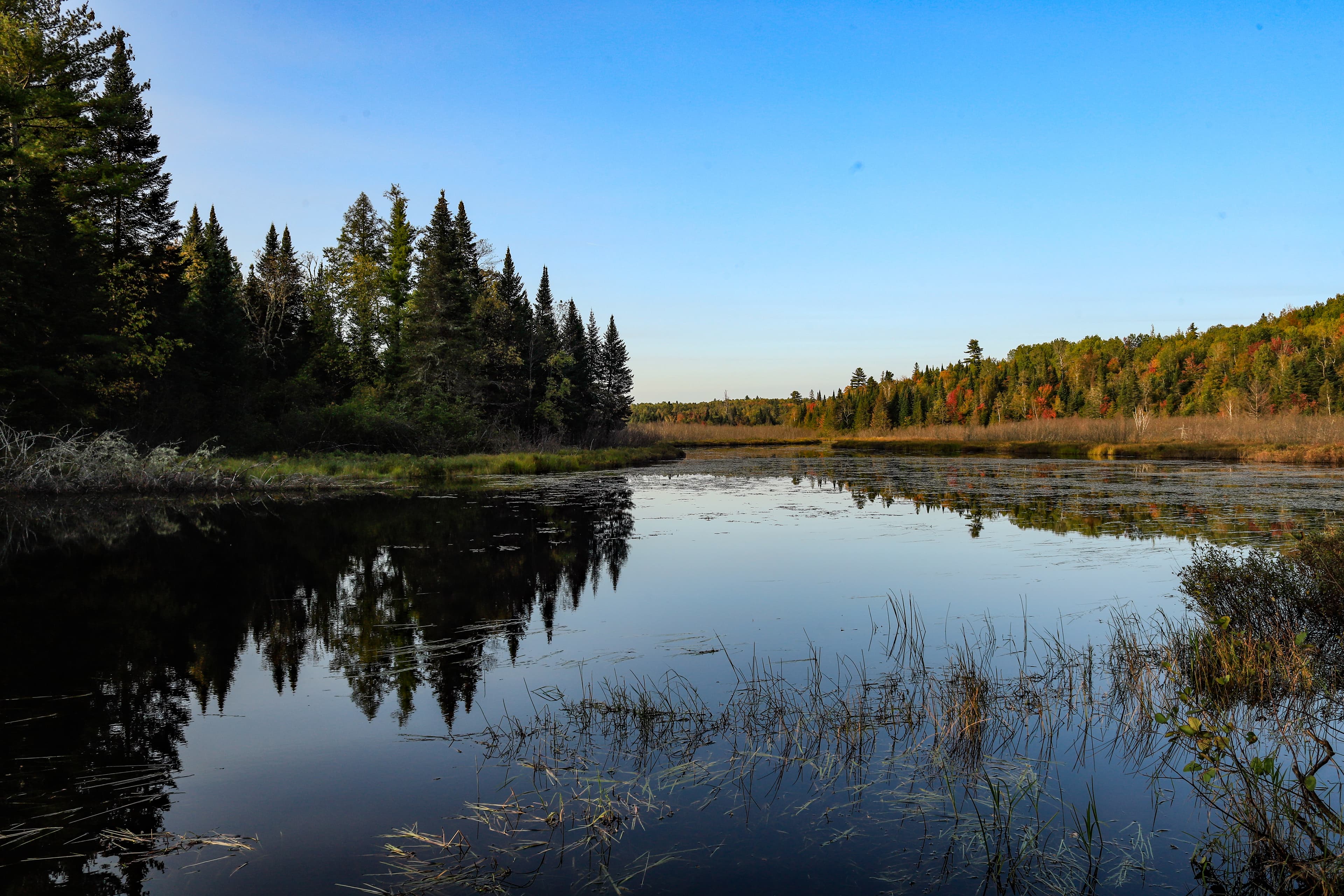
Roadside Scenic Views at Katahdin Woods and Waters NM
This self-guided driving tour suggests locations within the monument that are easy to view from within the vehicle or only require a short walk. Be aware of logging trucks on the road, they always have the right of way.
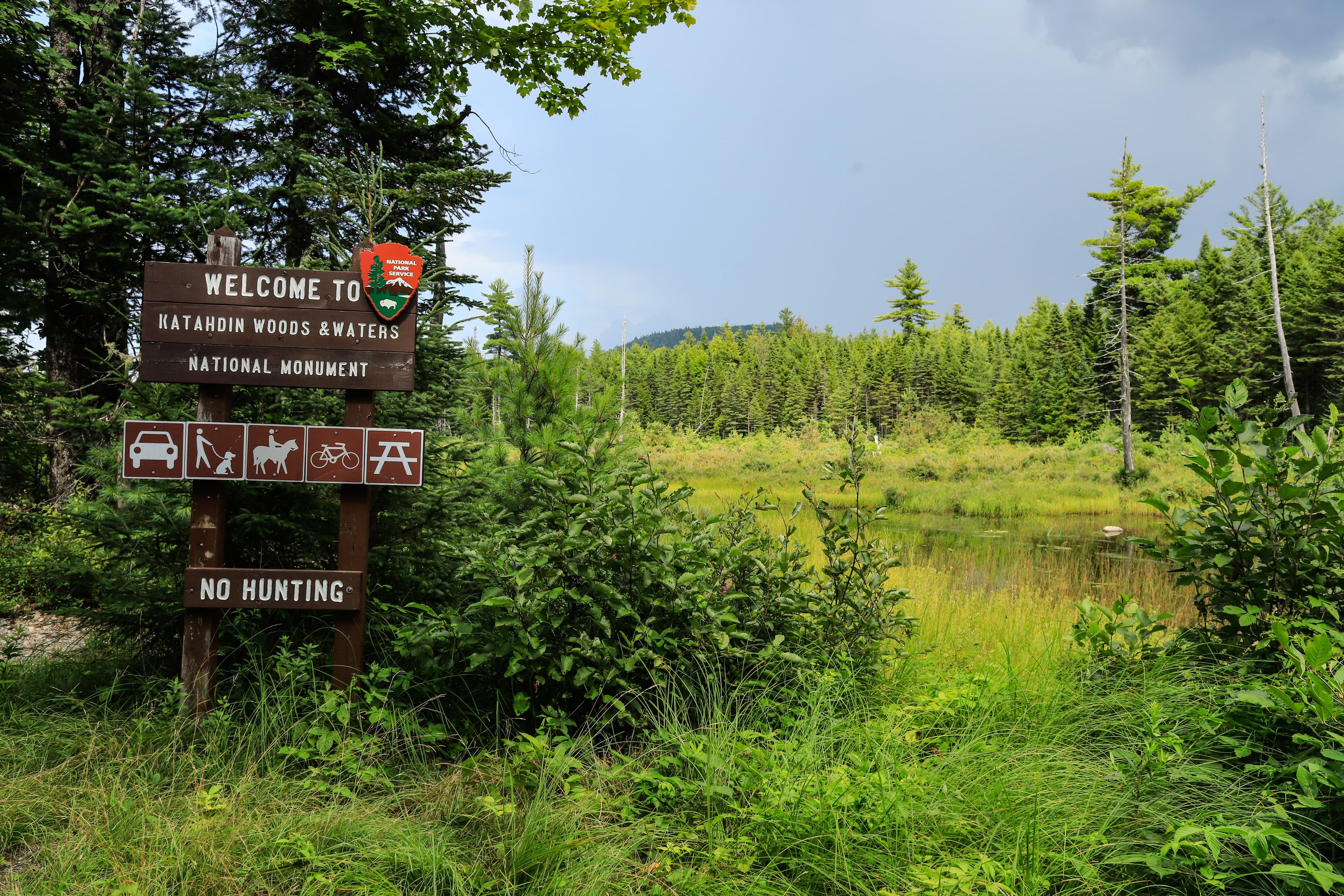
1 Day - Ecology and Geology Experience (Southern Section)
Only have 1 day at Katahdin Woods and Waters NM? This family-friendly tour guides visitors to experience the ecology and geology within the southern section of KAWW without too much time on the road. First, take Swift Brook Road to the Loop Road Entrance. Continue ahead to the Deasey Ponds Parking Lot. Here, the tour invites you to use the vault toilet and stretch your legs on a 1.2 mile (round-trip) hike. Then, drive to Katahdin Overlook for a scenic picnic. Stop at Lynx Pond on your way home.
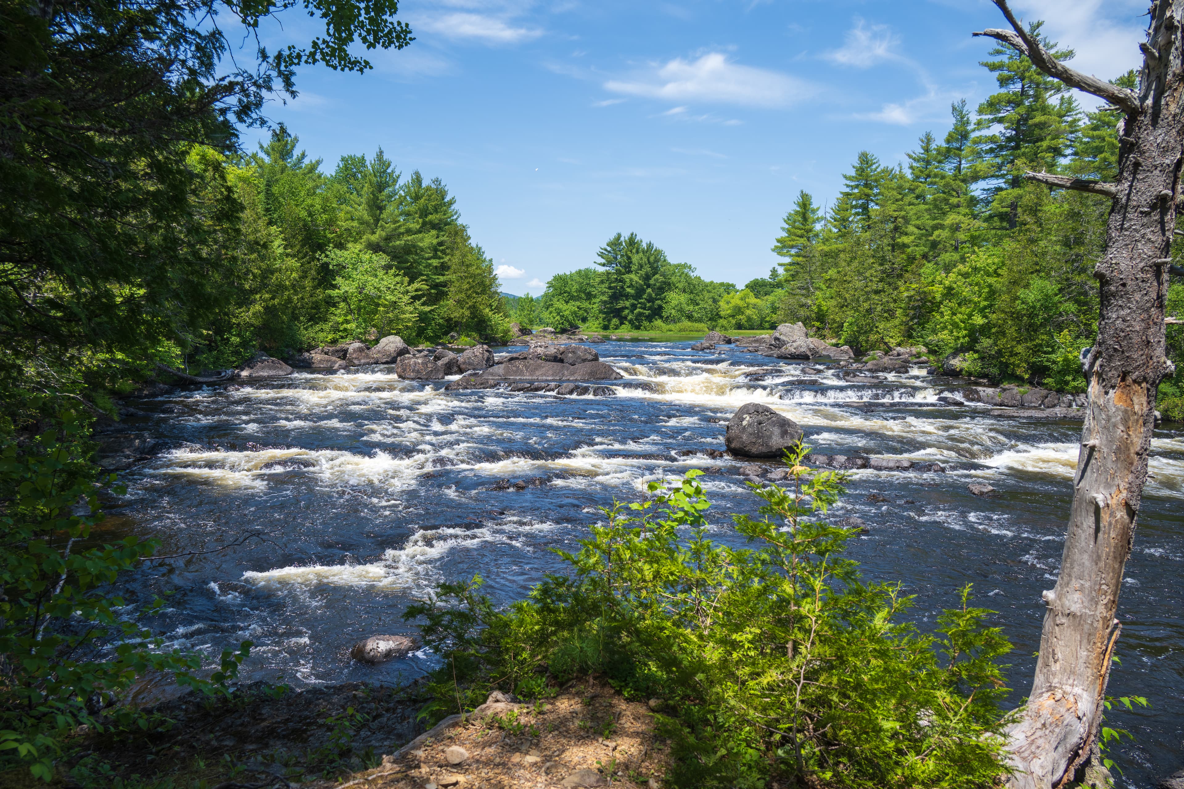
1 Day - Drive and Hike the Northern Section
This self-guided drive and hike tour suggests an itinerary for visitors looking for a day trip at the northern section of Katahdin Woods and Waters National Monument. The first stop at the Oxbow Picnic Area is an optional stop for a close-up view of the East Branch of the Penobscot River. The northern section of Katahdin Woods and Waters NM provides a more remote experience for visitors with views of the East Branch of the Penobscot River and many miles of trails to hike.
Visitor Centers
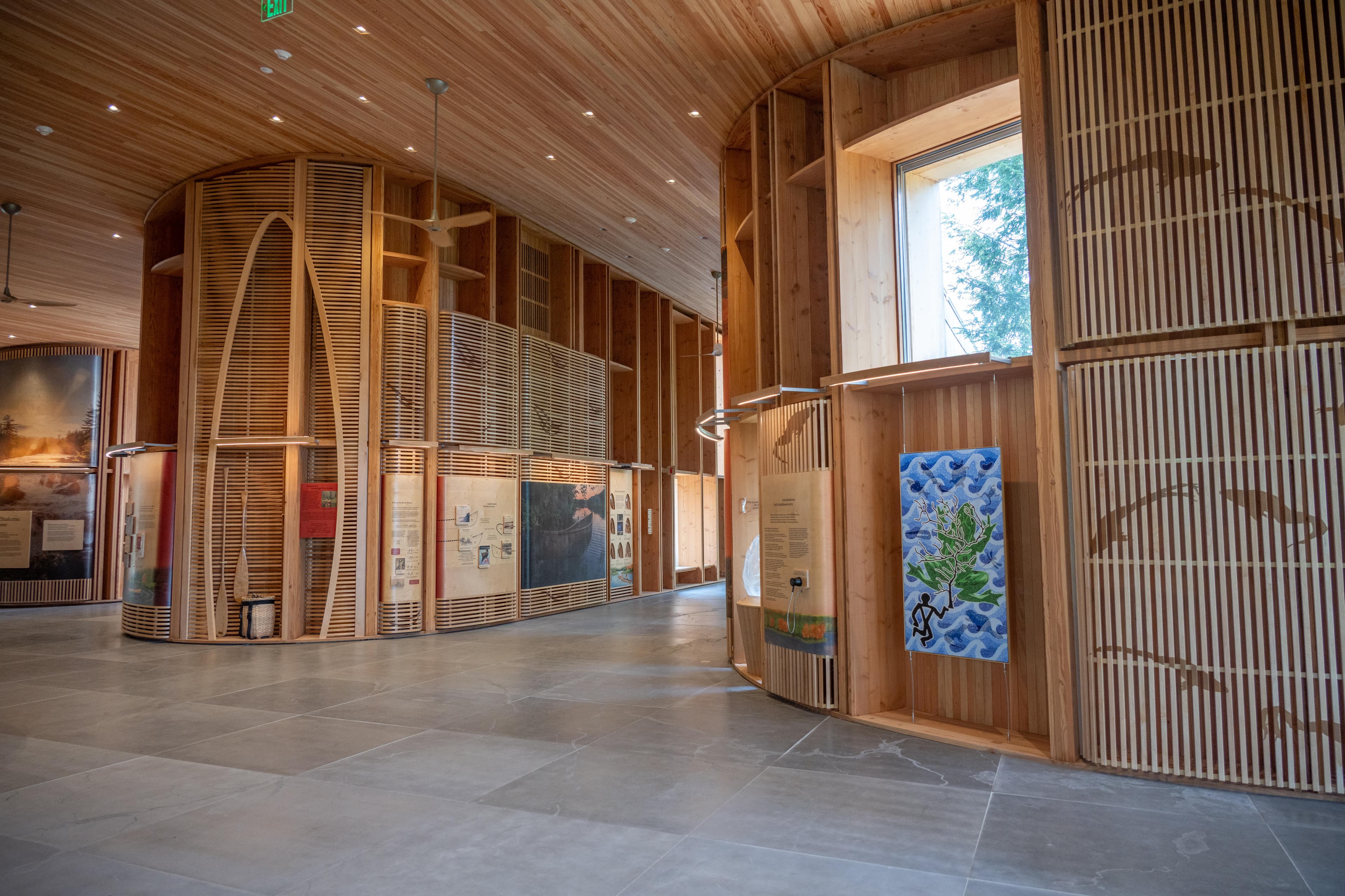
Tekakapimək Contact Station
Tekαkαpimək Contact Station is located in the southern section of Katahdin Woods and Waters National Monument, within the homeland and ancestral territory of Penobscot Nation. National Park Service staff will be available to provide orientation and information and to help plan your visit. Interior and exterior exhibits designed from a Wabanaki worldview provide an introduction to the monument’s landscape and its significance. Restrooms and a water fountain will be available when the building is open.
Where to Stay
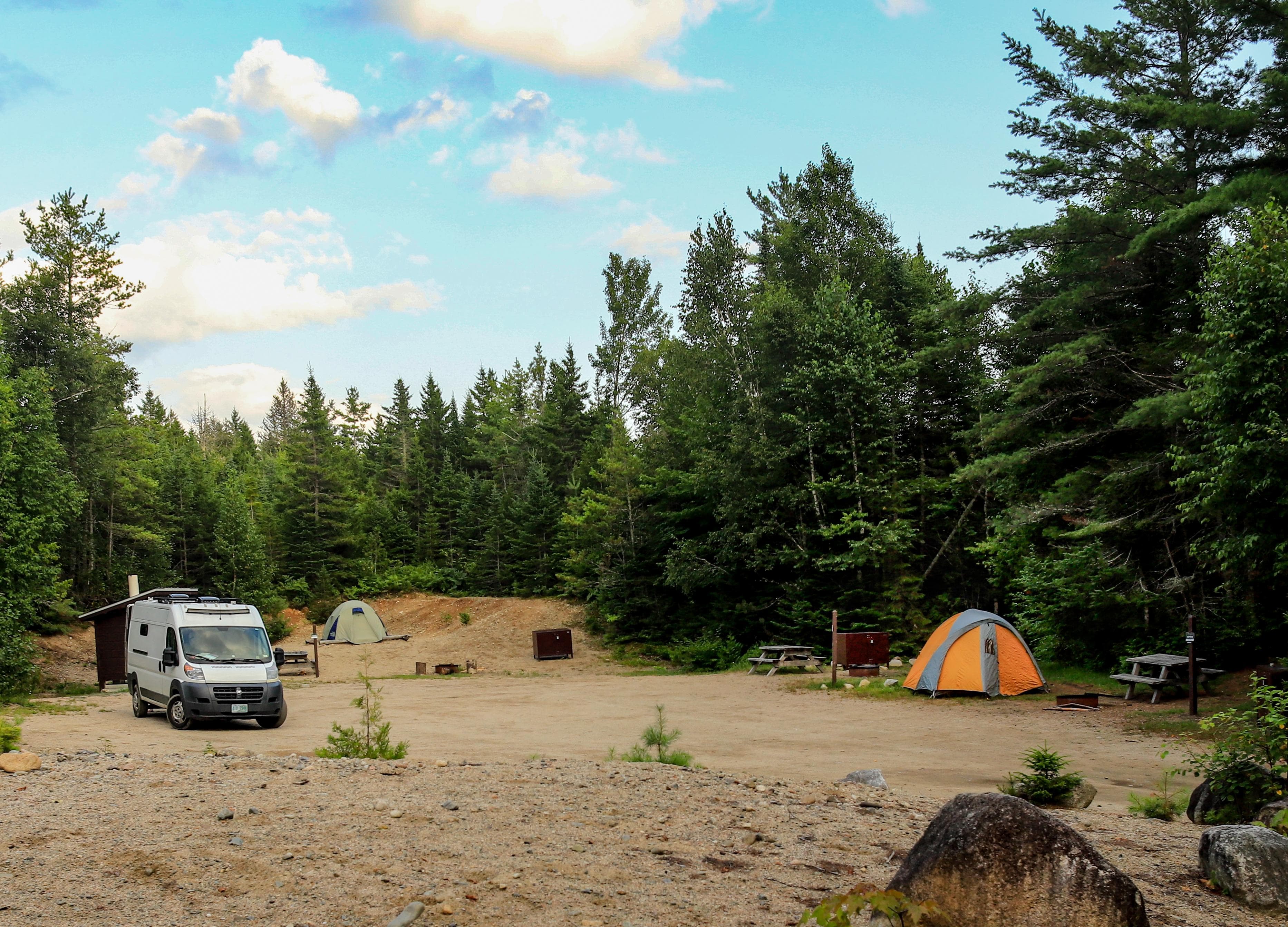
Sandbank Stream Campground
Sandbank Stream Campground has 3 campsites. It is located approximately 10 miles from the intersection of Route 11 and Swift Brook Road, near the beginning of the Katahdin Loop Road. There is a short trail to a wetland habitat viewpoint next to the campground.
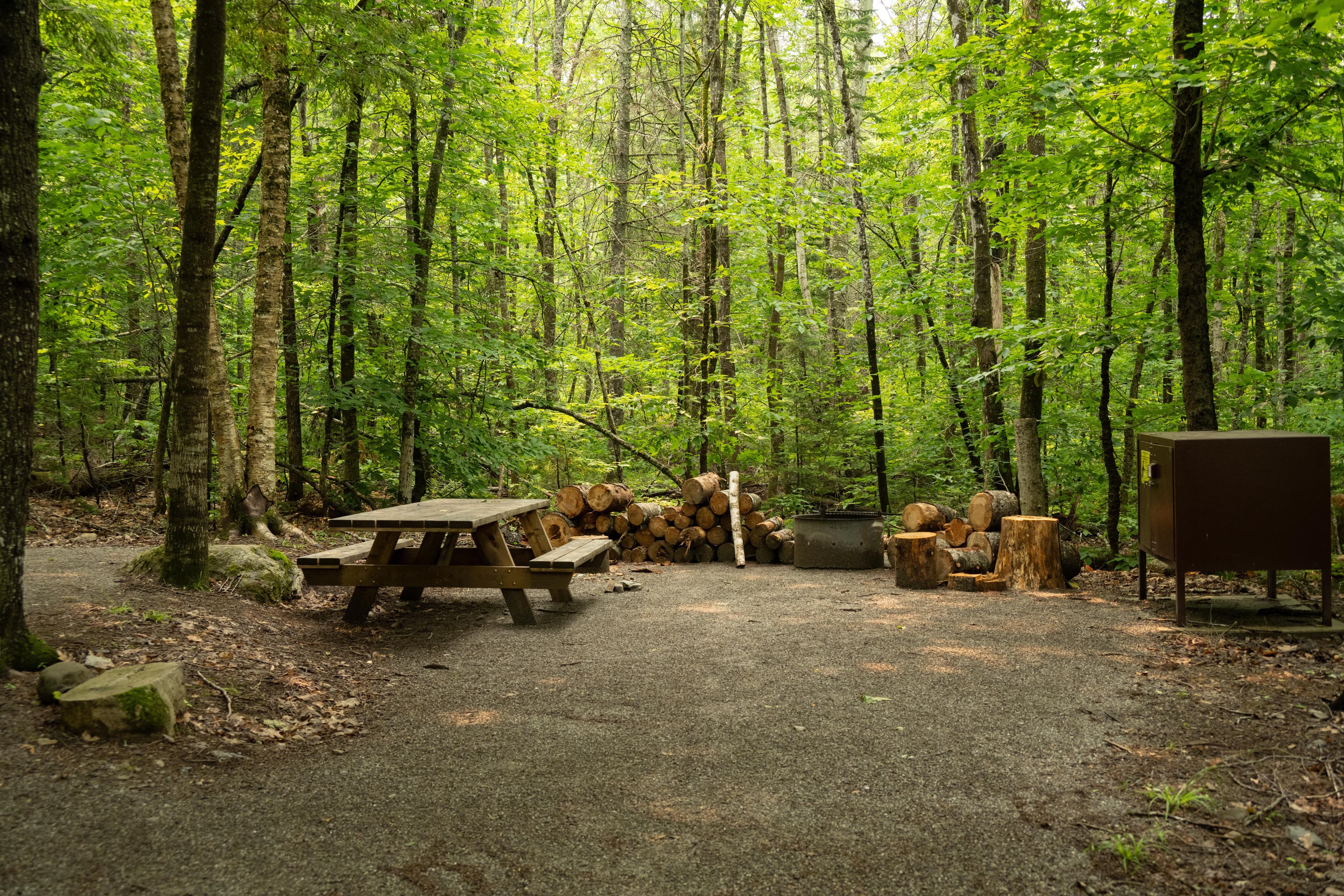
Lunksoos Campsites
The Lunksoos campground area has a total of 7 campsites near the East Branch of the Penobscot River. Campsite 1 is an ADA site, sites 2-5 are individual sites, and sites 6 and 7 are group sites. Campers will park their vehicles in the parking lot and walk their equipment to their site. A vault toilet is located at the parking lot for all visitors to use. This campsite sits just above the Lunksoos Boat Launch. Enjoy the beauty of the river, forest, and night sky all in one location.
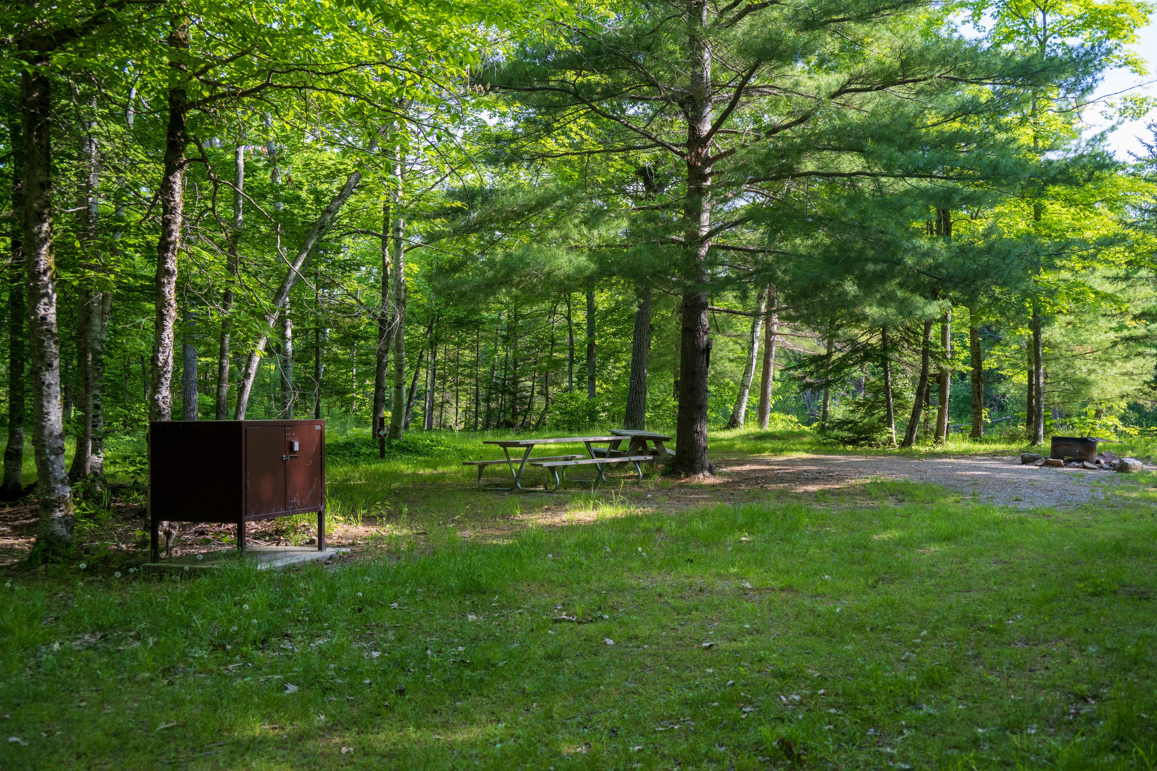
Upper East Branch Campsite
A large walk-in campsite located along the East Branch of the Penobscot River with access to the river. Picnic tables are available for campers, as well as a fire ring and access to a vault toilet. This site makes for a magnificent place for night sky viewing.
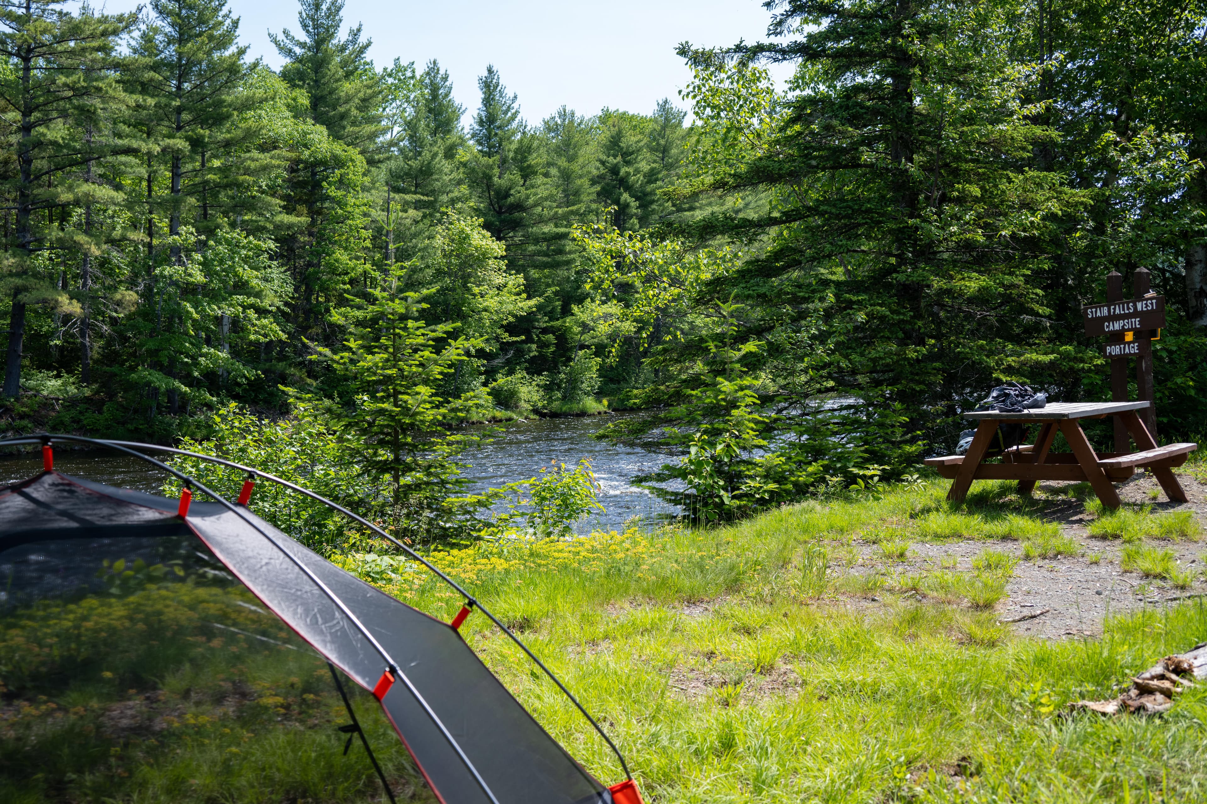
Stair Falls Campsite
A primitive campsite with access to the East Branch of the Penobscot River. The site has a picnic table, food storage locker, and fire pit. The portage trail for Stair Falls is located in front of the campsite. Access this campsite by a 2-mile hike from Haskell Gate or by paddling down the East Branch Penobscot River.
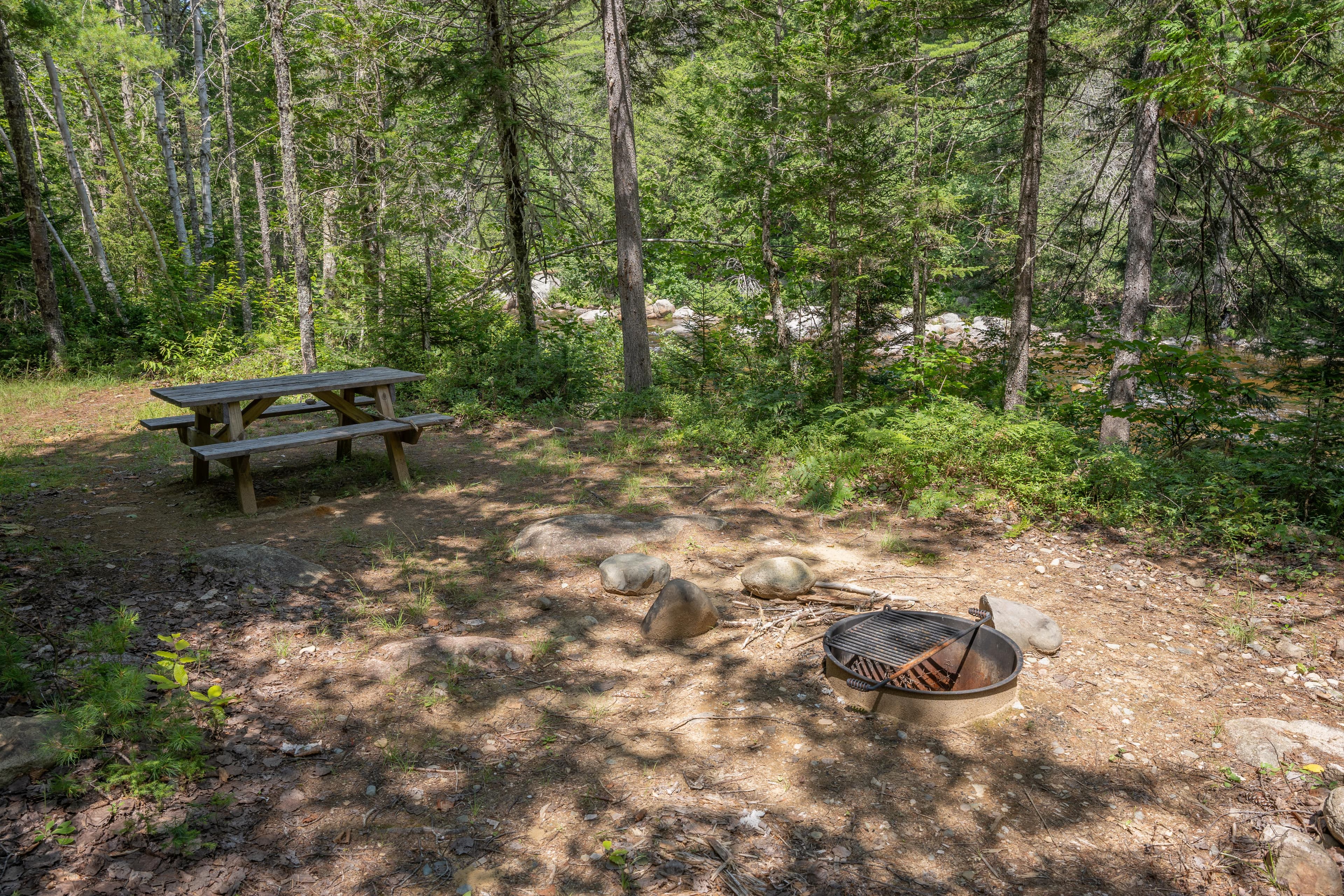
Esker Campsite
Hike or bike approximately 2.2 miles from the Wassataquoik Gate to the Esker Campsite. This campsite is located in a forested area on the bank of Wassataquoik Stream.
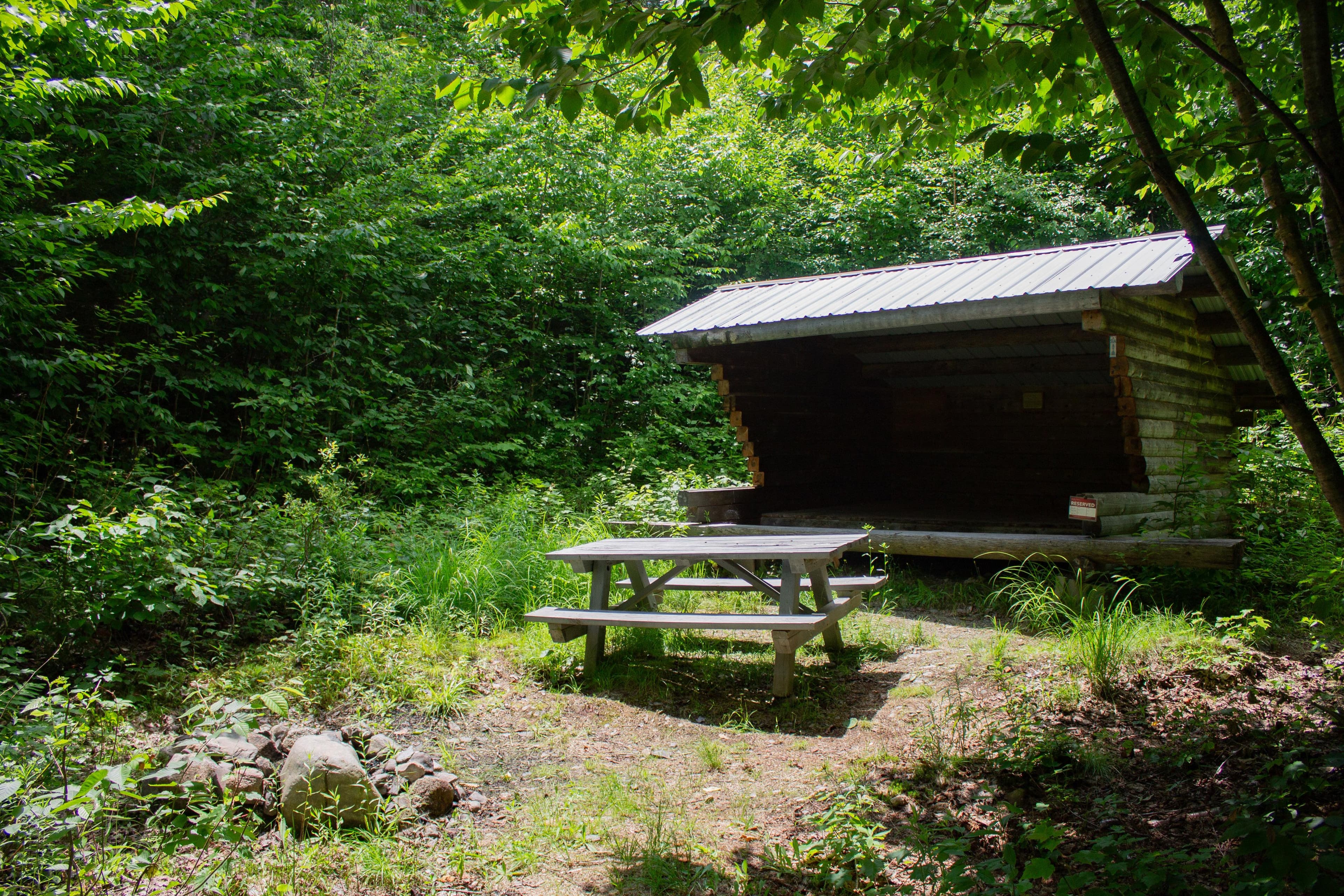
Katahdin Brook Lean-to
This campsite is tucked in just off the International Appalachian Trail (IAT) on Barnard Mountain Trailhead, approximately 0.4 miles from the trailhead. This is the closest hike-in campsite in the monument. Hike down a short spur trail to the site where a wooden lean-to, firepit, grass clearing, and a pit toilet are located. Moose, deer, butterflies, and a variety of birds all call this area home, making for spectacular wildlife viewing opportunities. The brook can be heard from this campsite.
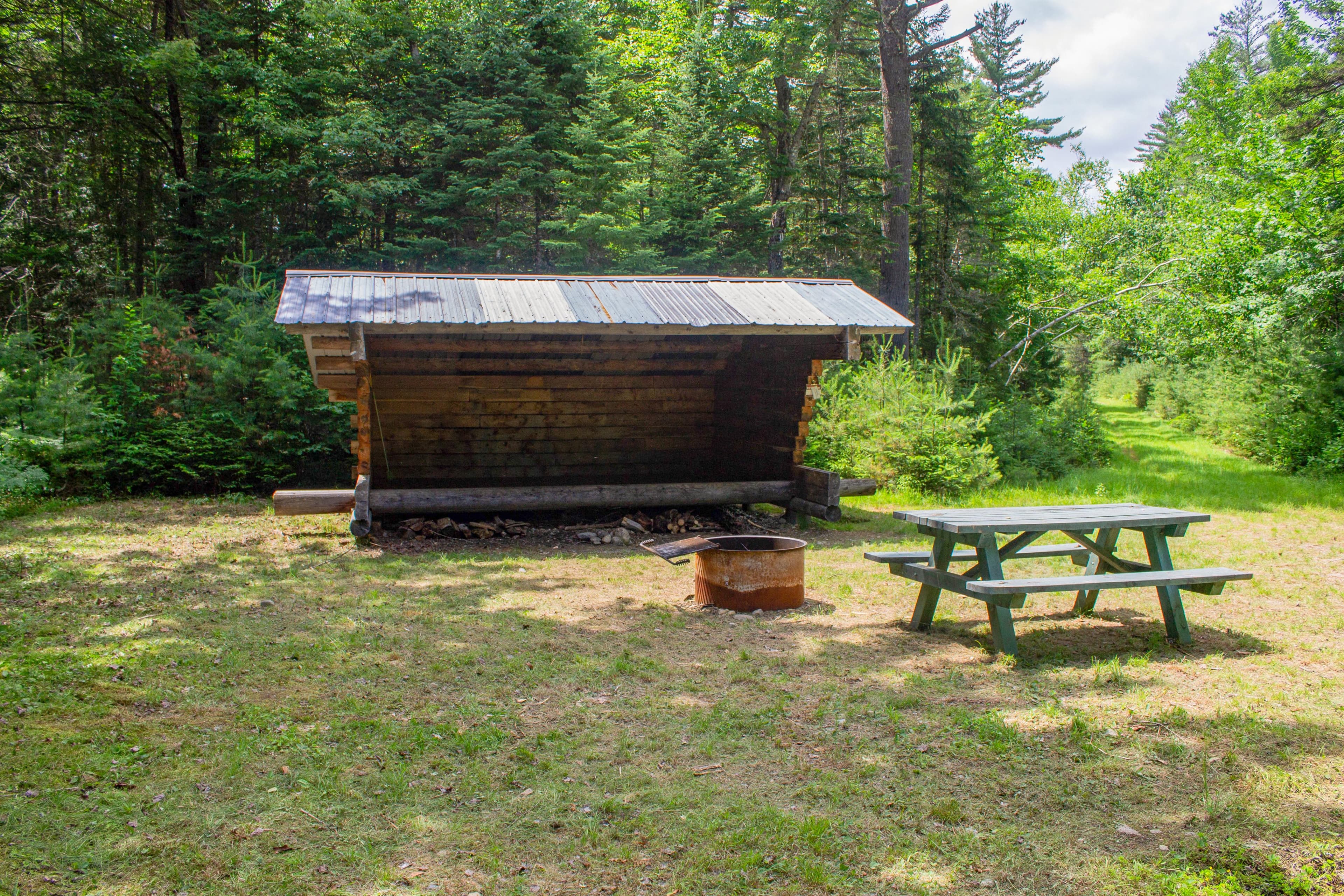
Wassataquoik Lean-to
A lean-to (a raised, 3-sided log shelter structure with a roof) campsite along the International Appalachian Trail near the Wassataquoik Stream. The site is 0.9 miles from the Wassataquoik Gate or 1.4 miles from the Barnard Mountain Trailhead.
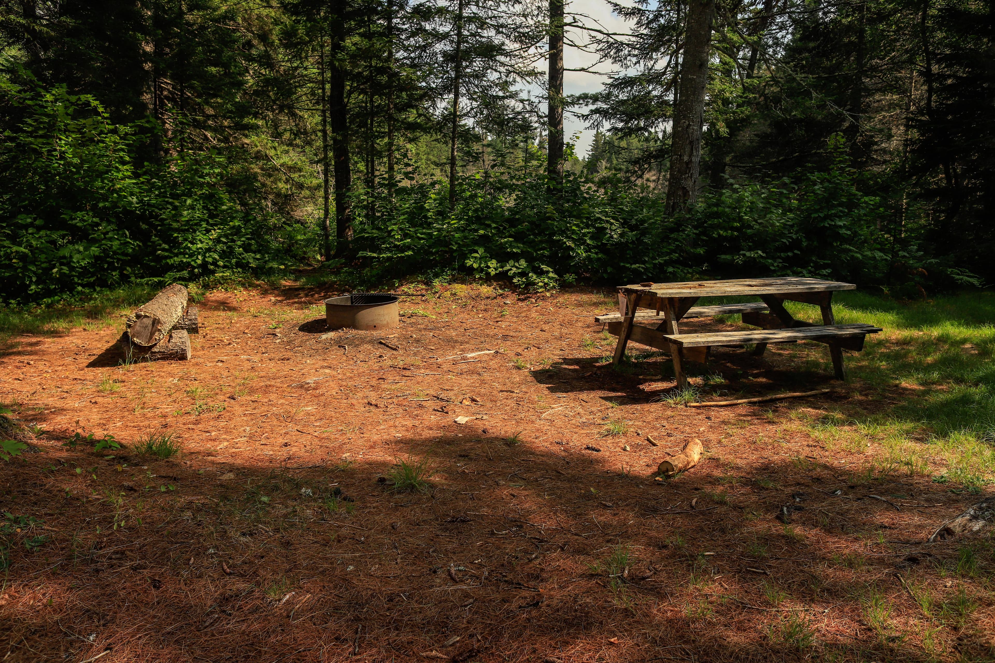
Wassataquoik Campsite
A beautiful primitive hike or bike in campsite located next to Katahdin Brook along the International Appalachian Trail. The campsite is near the Wassataquoik Lean-to and is 0.9 miles from the Wassataquoik Gate trailhead. It is also accessible by hiking or biking 1.4 miles from Barnard Mountain Trailhead.
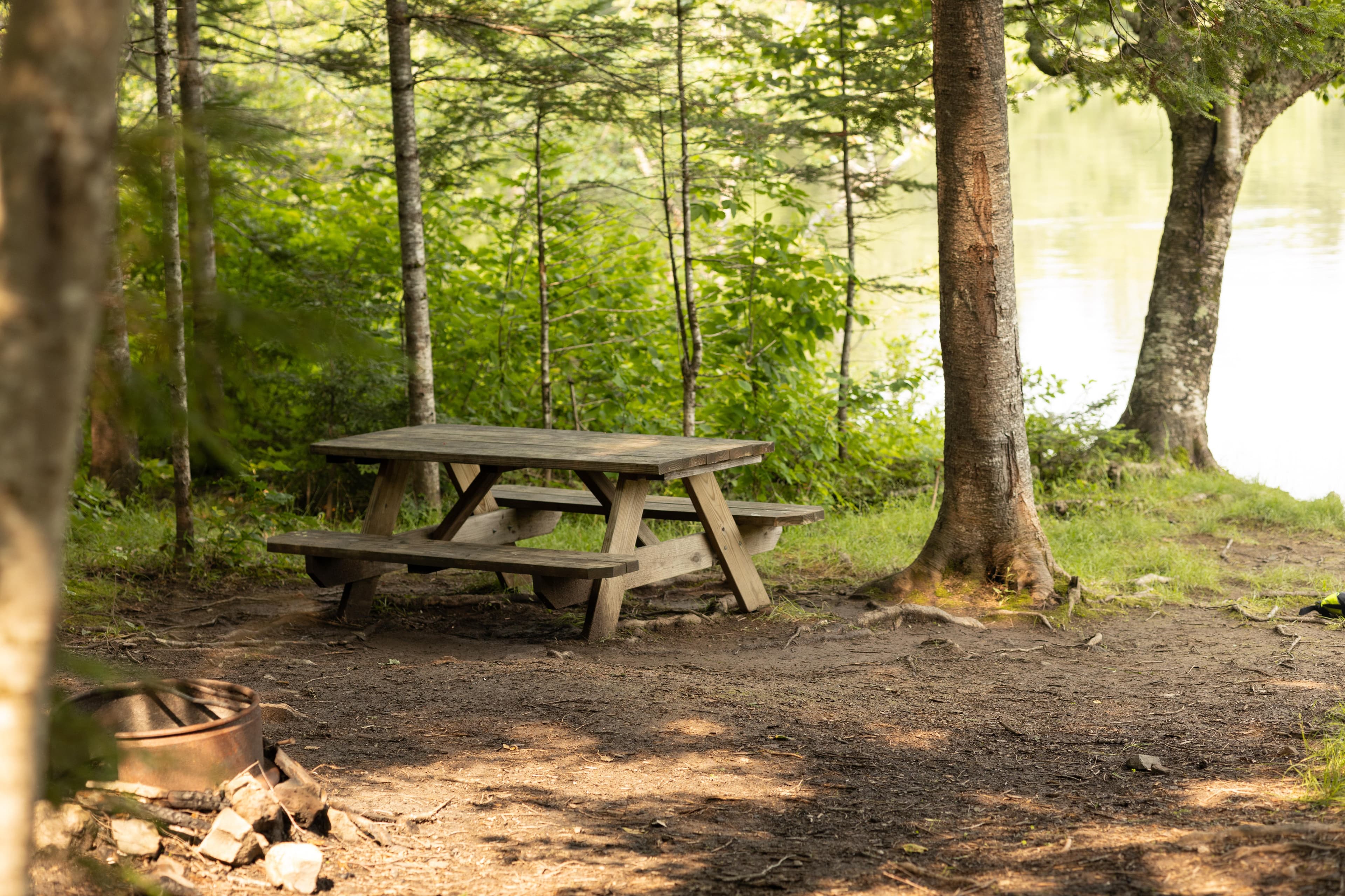
Big Seboeis Campsite
Access this scenic primitive backcountry campsite located next to the East Branch of the Penobscot River by boating in or hiking in. This location cannot be accessed by vehicles. There is a pit toilet (outhouse) available for use approximately 200ft from the campsite.
Big Spring Brook Campsite
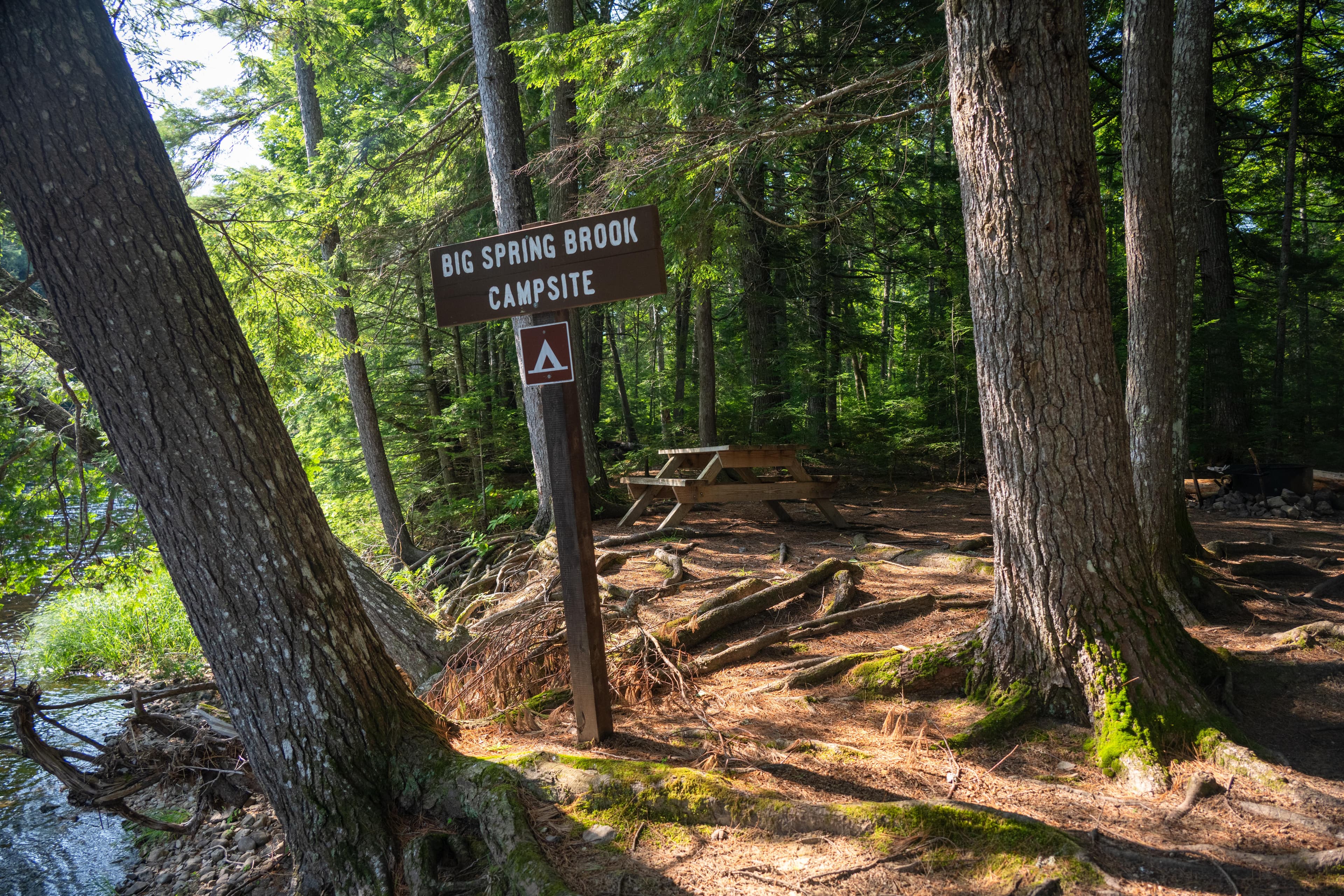
Primitive backcountry campsite along the East Branch of the Penobscot River that is only accessible by boat. Big Spring Brook is located approximately 10.7 miles south of the bridge near Matagamon Wilderness Camps. Look for a small wooden sign located at the top of the cut bank that reads Big Spring Brook Campsite. This campsite is mostly shaded and has one picnic table and one metal fire ring.
Haskell Deadwater Campsite
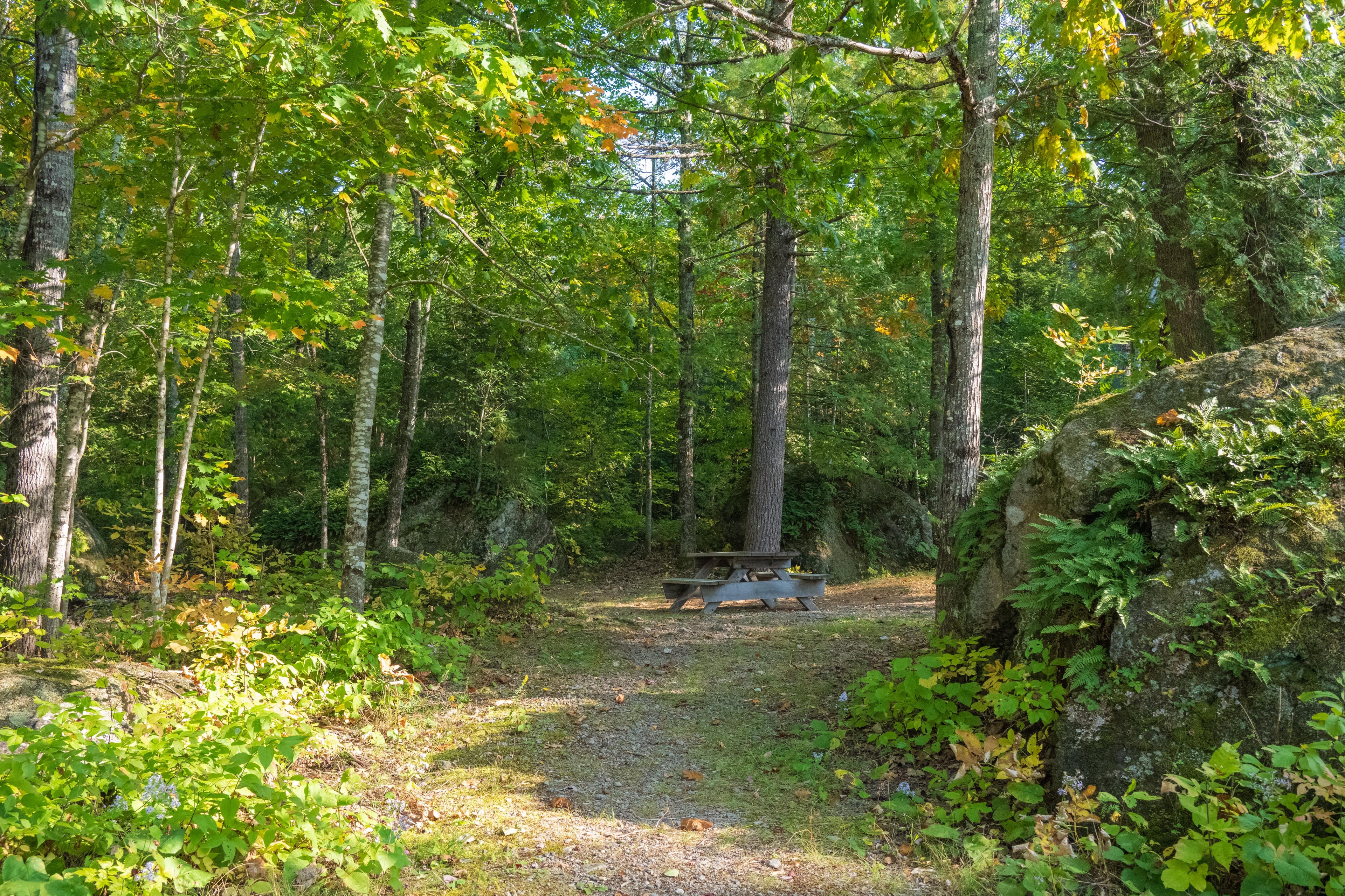
Backcountry campsite along the banks of Haskell Deadwater and the Haskell Rock Pitch Portage.
Pond Pitch Campsite
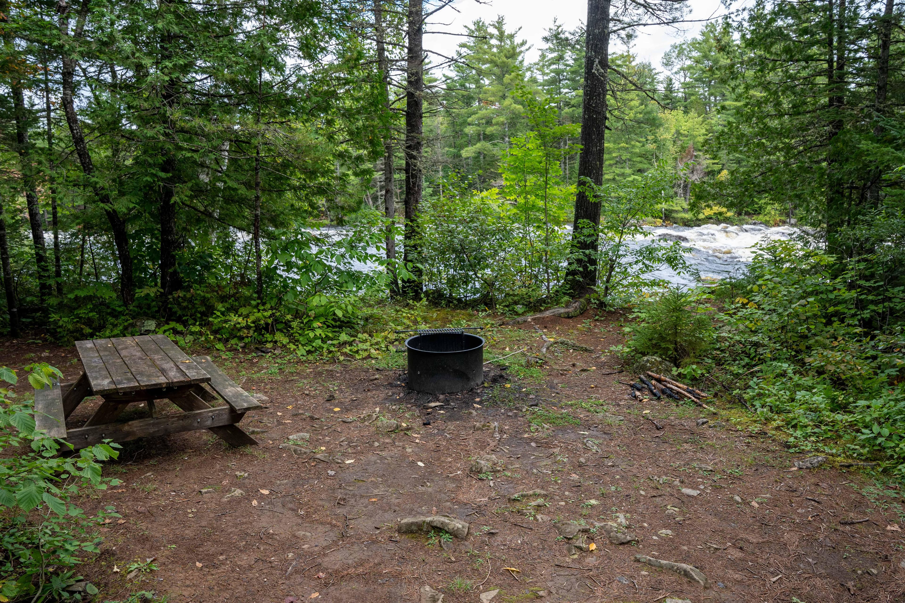
A rustic backcountry campsite overlooking the majestic Pond Pitch and wild East Branch of the Penobscot River.
Grand Pitch Lean-to
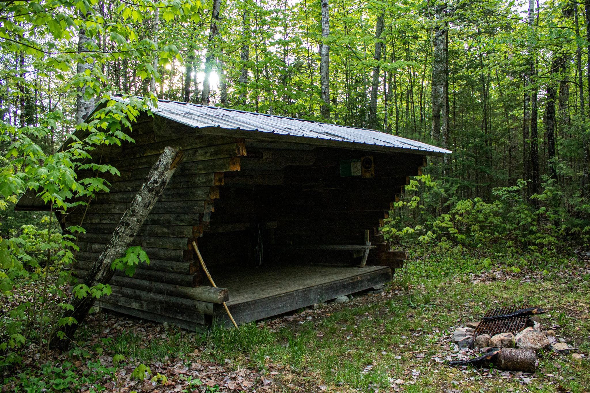
A backcountry lean-to along the International Appalachian Trail and Grand Pitch Portage. Grand Pitch Lean-to is located 3.6 miles from Haskell Gate.
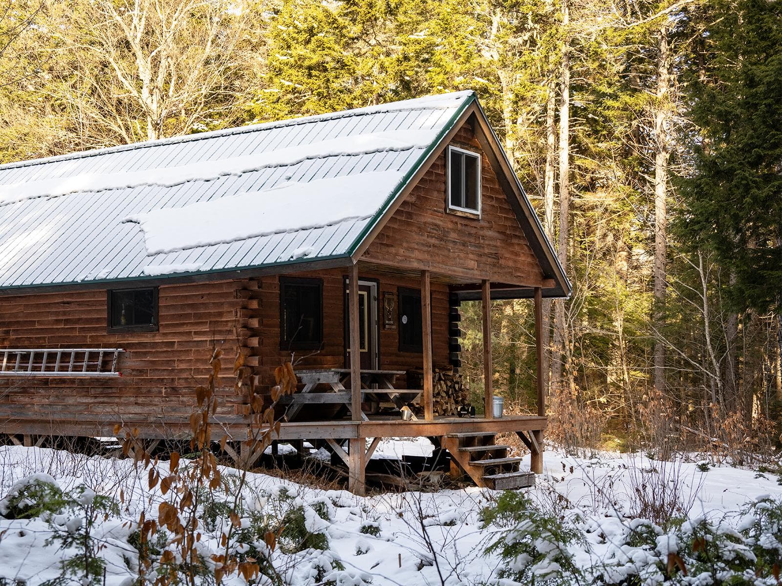
Big Spring Brook Hut
A beautiful log cabin tucked away in the heart of the forest of Katahdin Woods and Waters NM. Reservations are required through Recreation.gov. Plan for primitive camping experience by packing in your own essentials, such as a sleeping surface, sleeping bag, and a camp stove! This hut is only opened for camping during the winter. Park at the North Gate and cross-country ski or snowshoe 9.15 miles to Big Spring Brook Hut. It is a great place to keep warm, find solitude, and enjoy this winter wonderland!
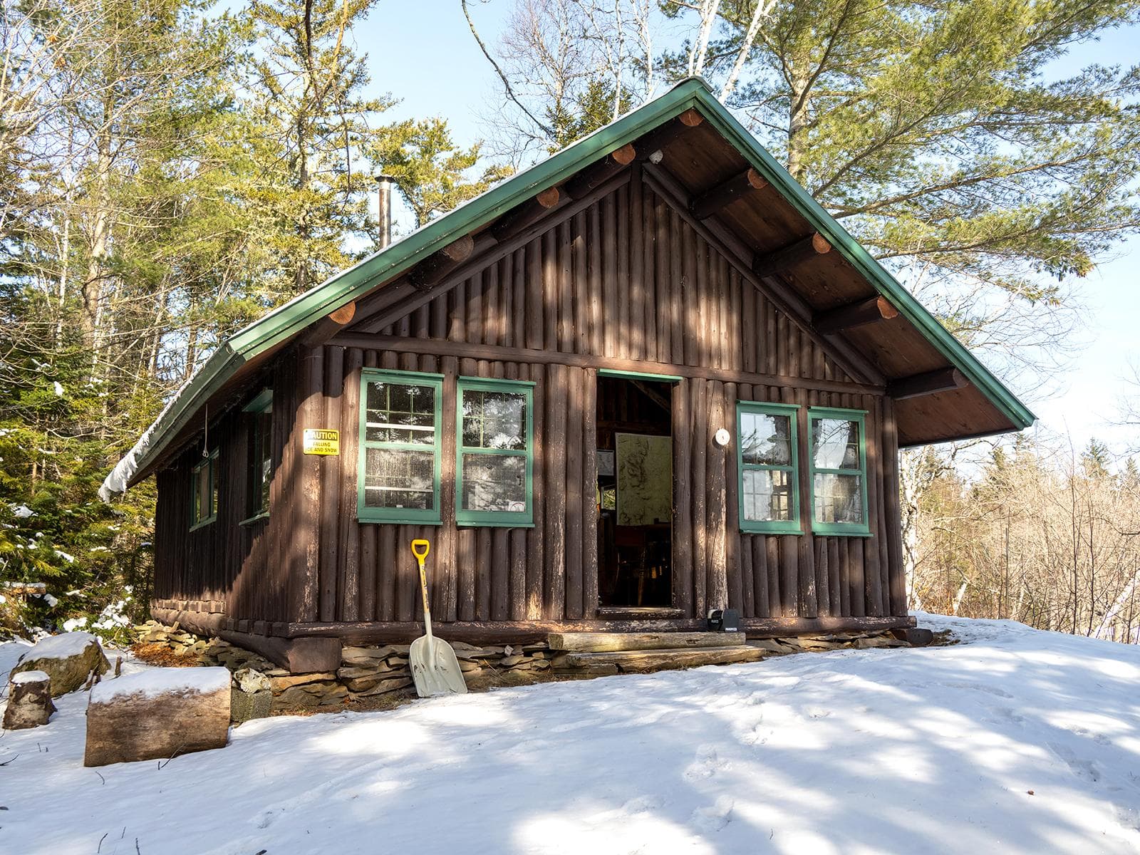
Haskell Hut
A small log cabin on a hill with a beautiful view of Haskell Deadwater. Here, you can enjoy the sounds and sights of the woods and the waters. Reservations are required through Recreation.gov and can be reserved by groups of up to 8 people. Camping in the hut is only available in the winter. The hut is reached by cross-country skiing or snowshoeing. This is a primitive camping experience. Remember to pack in essentials (sleeping surface, sleeping bag, cook stove) and follow Leave No Trace principles.
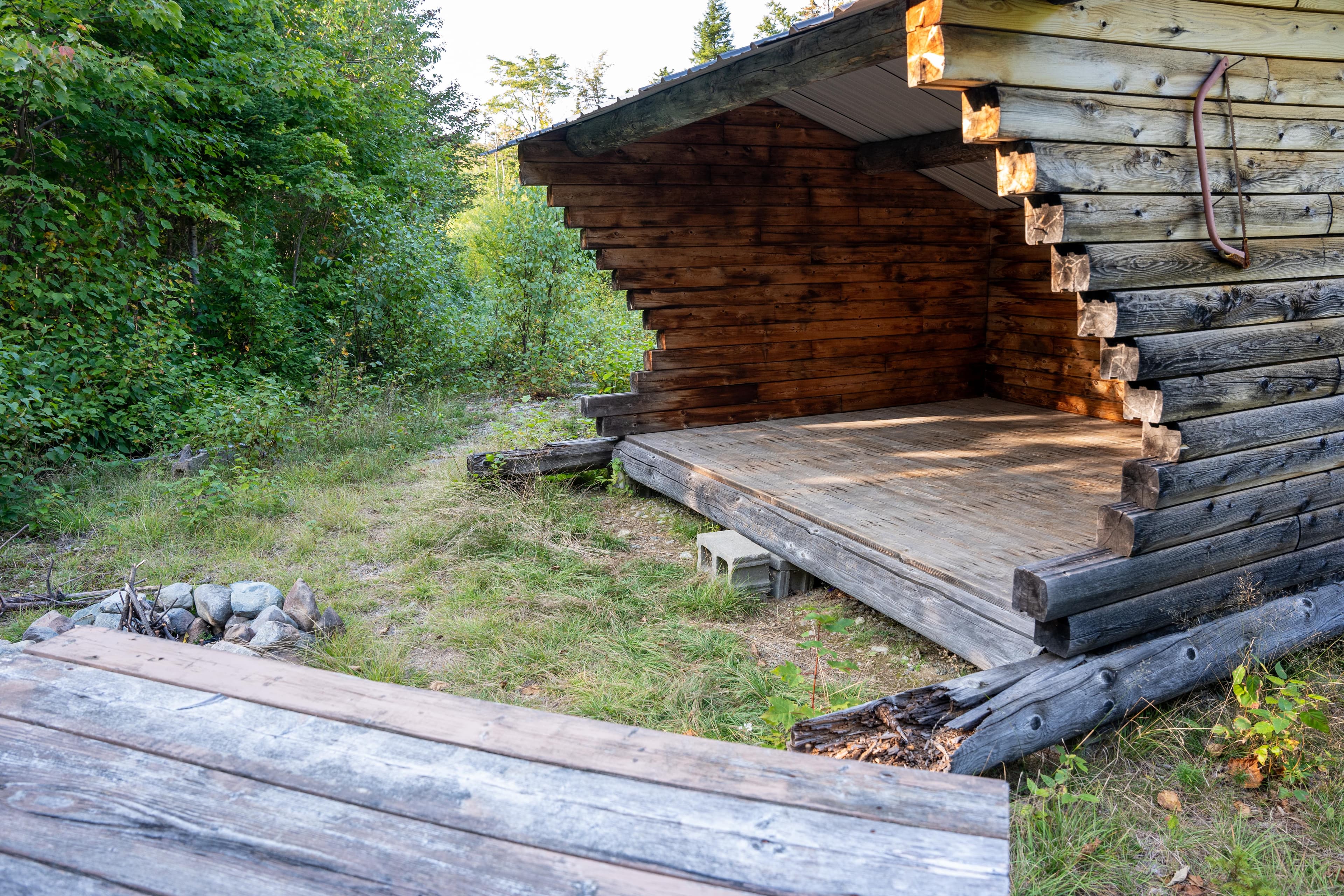
Lunksoos Mountain Lean-To
A rugged lean-to site within the heart of the backcountry of Katahdin Woods & Waters National Monument.
Parking & Access
Getting Here
Katahdin Woods and Waters National Monument is located in north central Maine. Drive approximately 1.5 hours north of Bangor, Maine to reach Route 11 (Katahdin Woods and Waters Scenic Byway). Route 11 is the main route to the entrances to the park. Take Route 11 to Route 159 and Grand Lake Road to access the North Entrance. Follow Route 11 to Swift Brook Road to enter the South Entrance. Take Route 11 to Route 159 and American Thread Road to access the Seboeis Parcel.
Official NPS directionsParking Lots
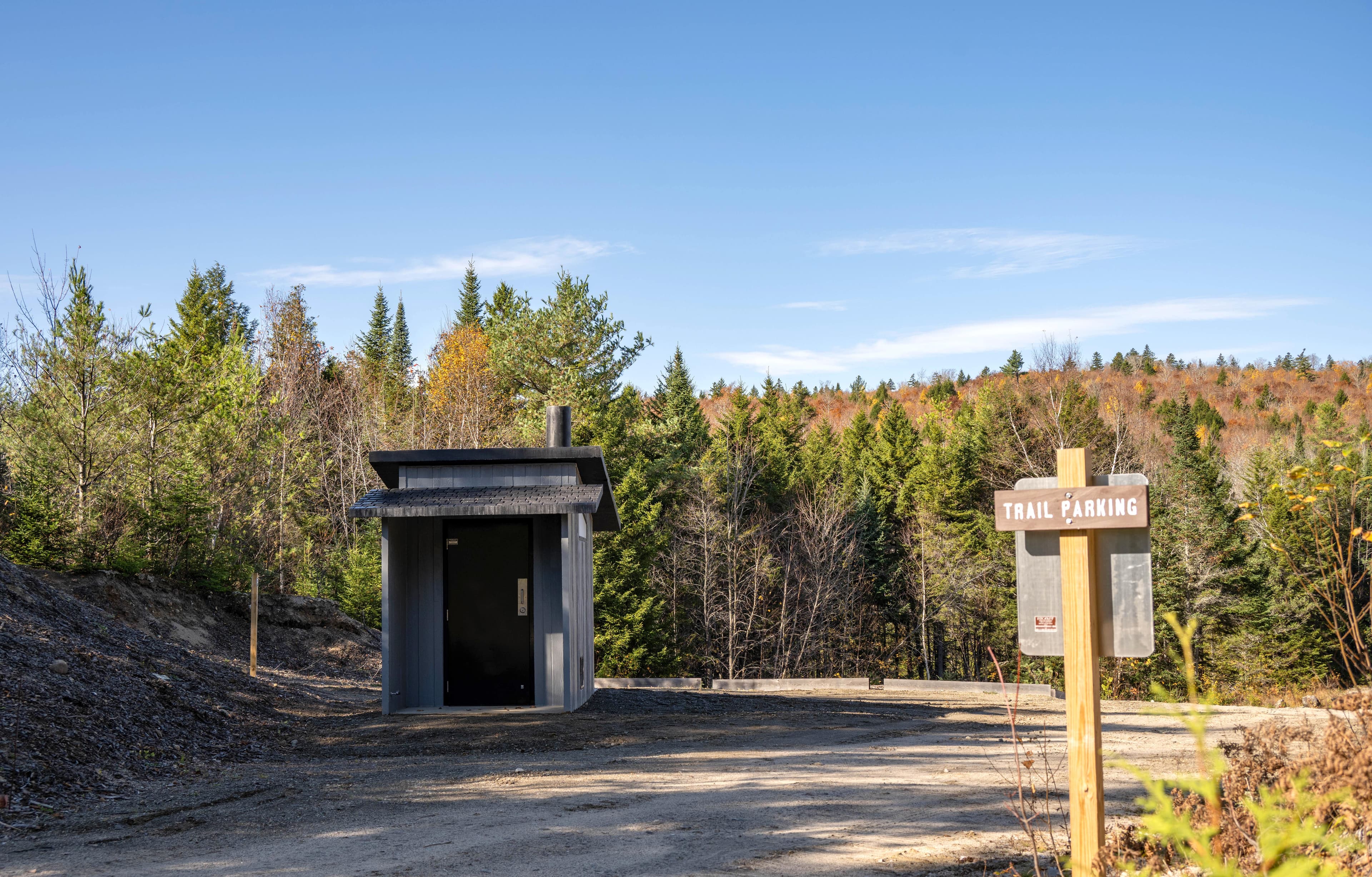
Deasey Pond Trailhead
Park here to begin the out and back hike to Deasey Pond. Another short trail is located across the road just south of the parking area. The surface is uneven and made of dirt and loose gravel. There is a vault toilet.
Open in MapsLynx Pond ADA Parking
This parking area is ADA compliant and has room for 1 vehicle. The parking space is designed like a parallel parking spot. The surface is gravel and may have organic debris.
Open in Maps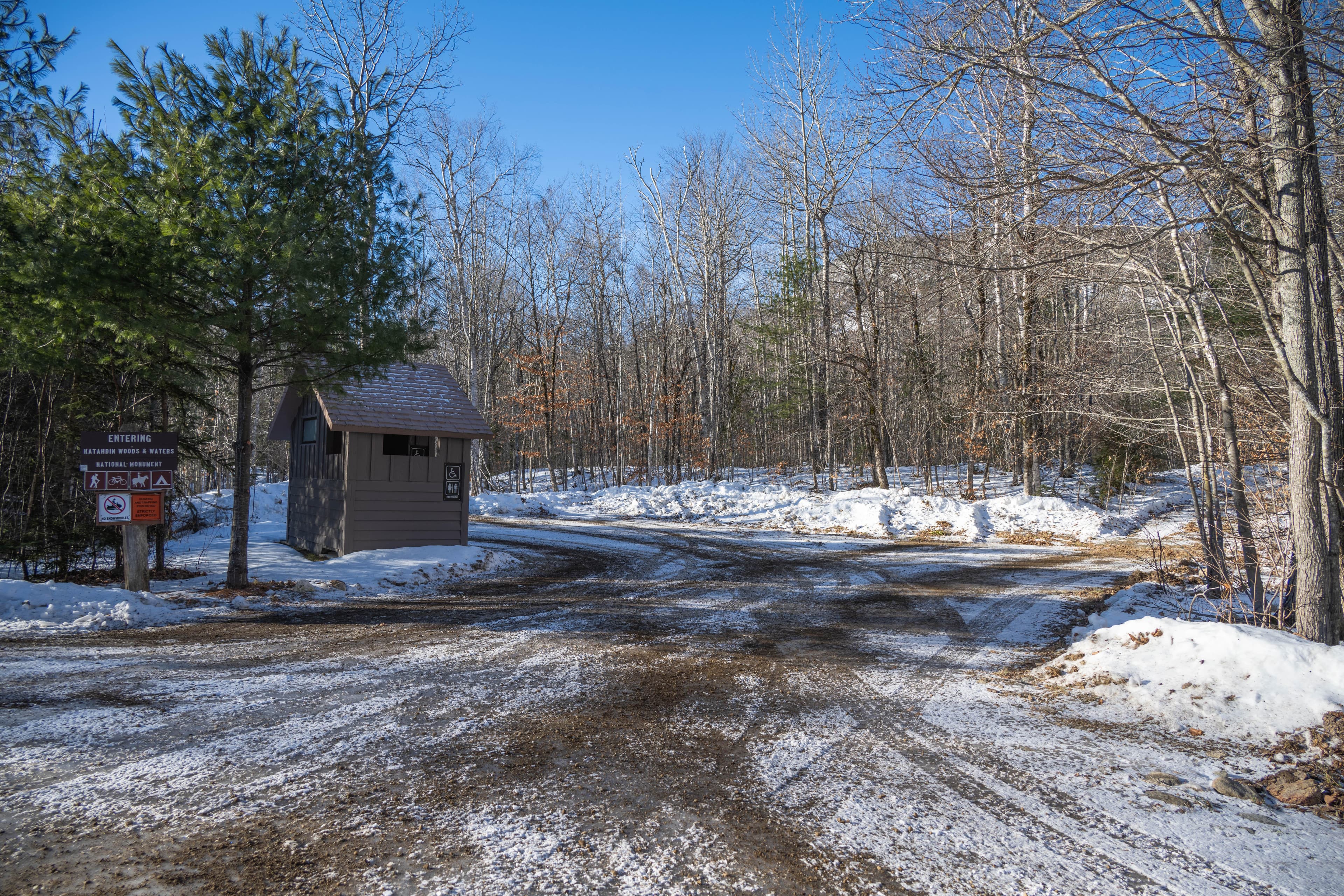
North Gate Parking
The surface is uneven and made of dirt and gravel. Depending on the season, it may be muddy or icy. It is the only parking area opened and groomed in the winter.
Open in MapsSeboeis Connector Parking
This parking area is unmarked. It can accommodate up to 5 vehicles. This is a gravel and dirt parking area with uneven surface that provides access to the Seboeis Riverside Trail. The Seboeis Connector Trail is north of the parking area.
Open in MapsGetting Here & Transit
How to Get Here
Katahdin Woods and Waters National Monument is located in north central Maine. Drive approximately 1.5 hours north of Bangor, Maine to reach Route 11 (Katahdin Woods and Waters Scenic Byway). Route 11 is the main route to the entrances to the park. Take Route 11 to Route 159 and Grand Lake Road to access the North Entrance. Follow Route 11 to Swift Brook Road to enter the South Entrance. Take Route 11 to Route 159 and American Thread Road to access the Seboeis Parcel.
Park Amenities
Operating Hours
Katahdin Woods and Waters National Monument
Katahdin Woods and Waters National Monument is open year-round. From mid-November to late May, the north entrance and Katahdin Loop Road are closed to wheeled vehicles. Two gates on the Swift Brook Road leading to the southern sections of the monument are managed by a neighboring timber company and may be closed to wheeled vehicles as well from mid-November to late May.
- MondayAll Day
- TuesdayAll Day
- WednesdayAll Day
- ThursdayAll Day
- FridayAll Day
- SaturdayAll Day
- SundayAll Day
Photos
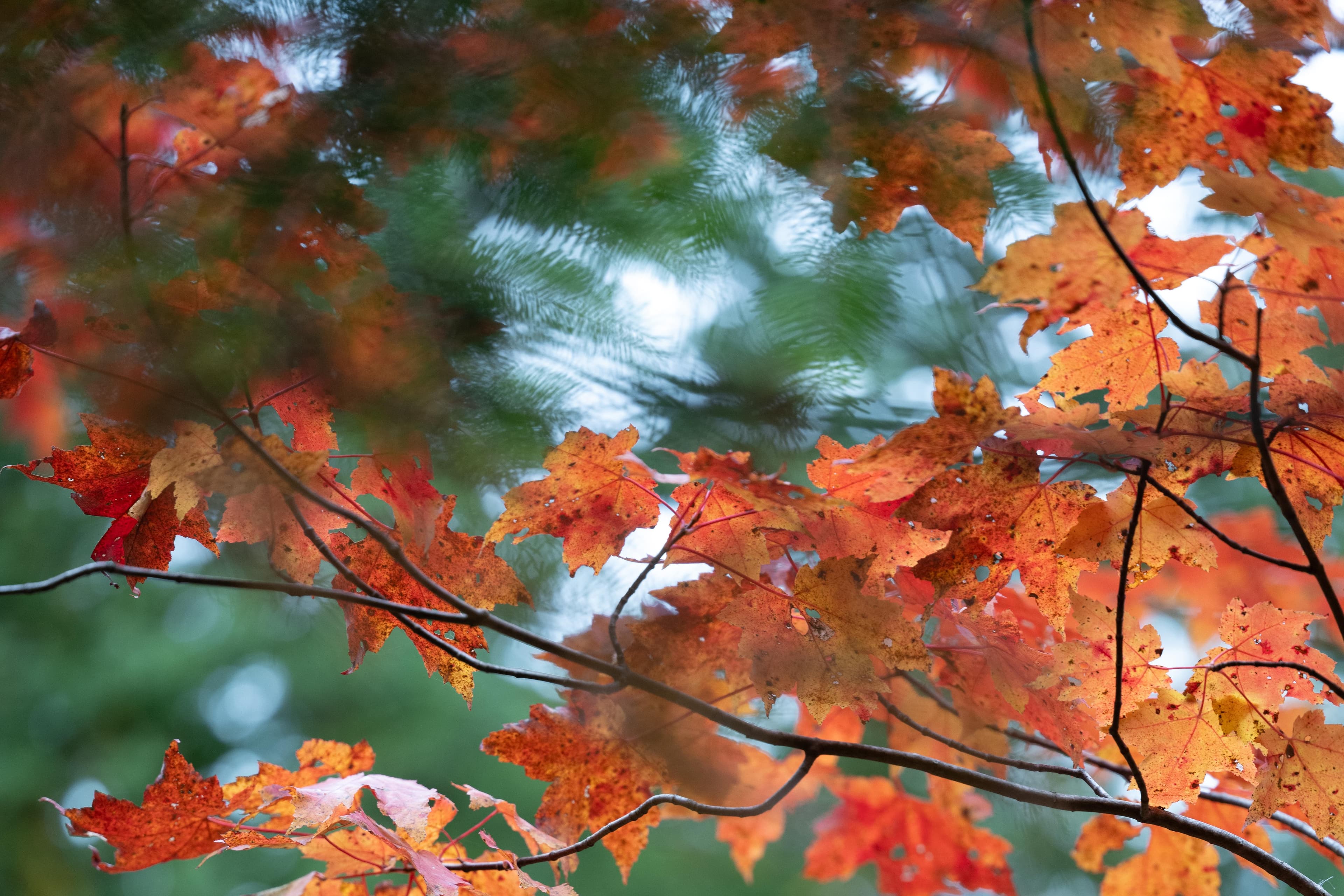
Red and orange fall foliage hangs off dark branches on a green background.
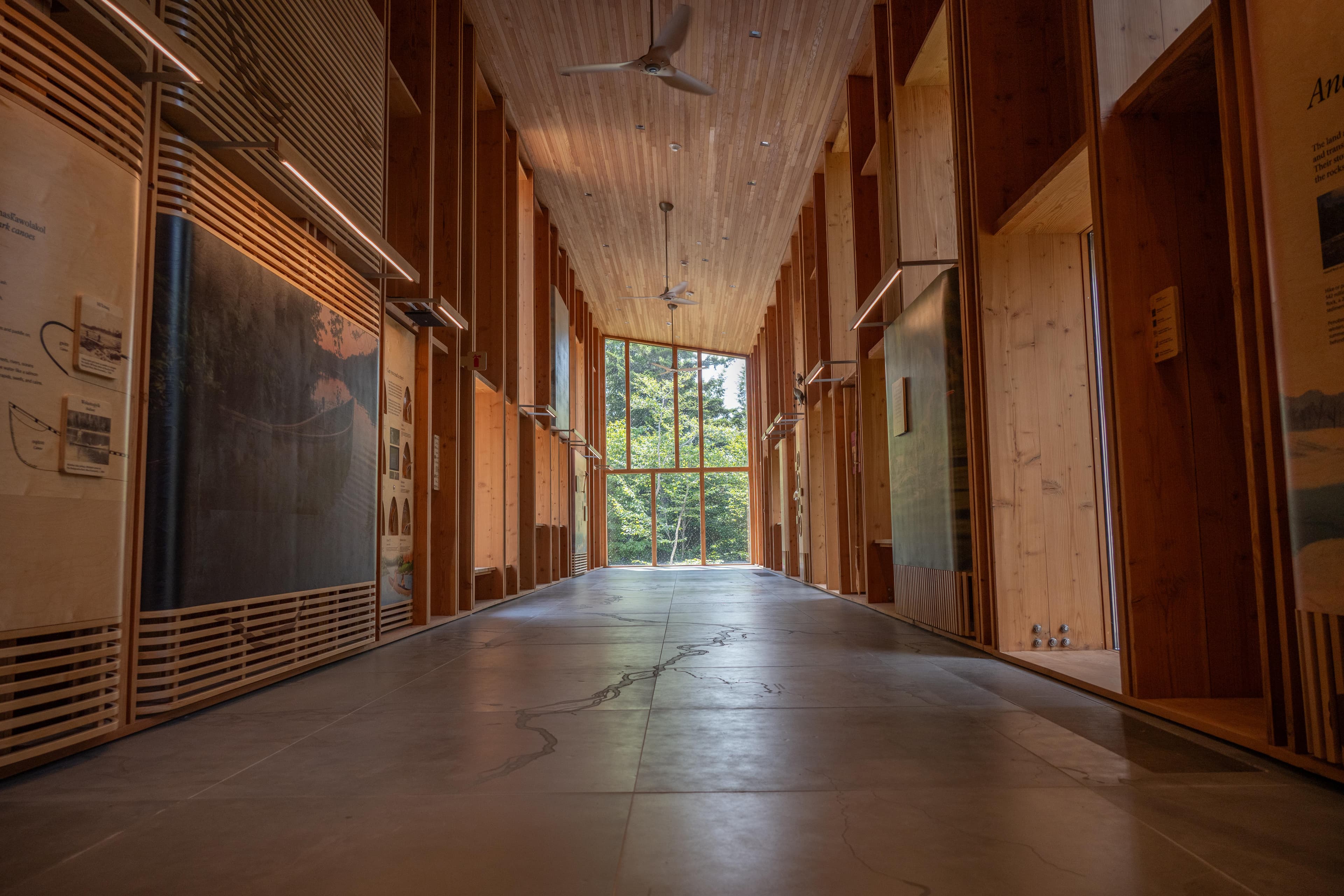
Tekαkαpimək Contact Station interior looking down a wing into the central room.
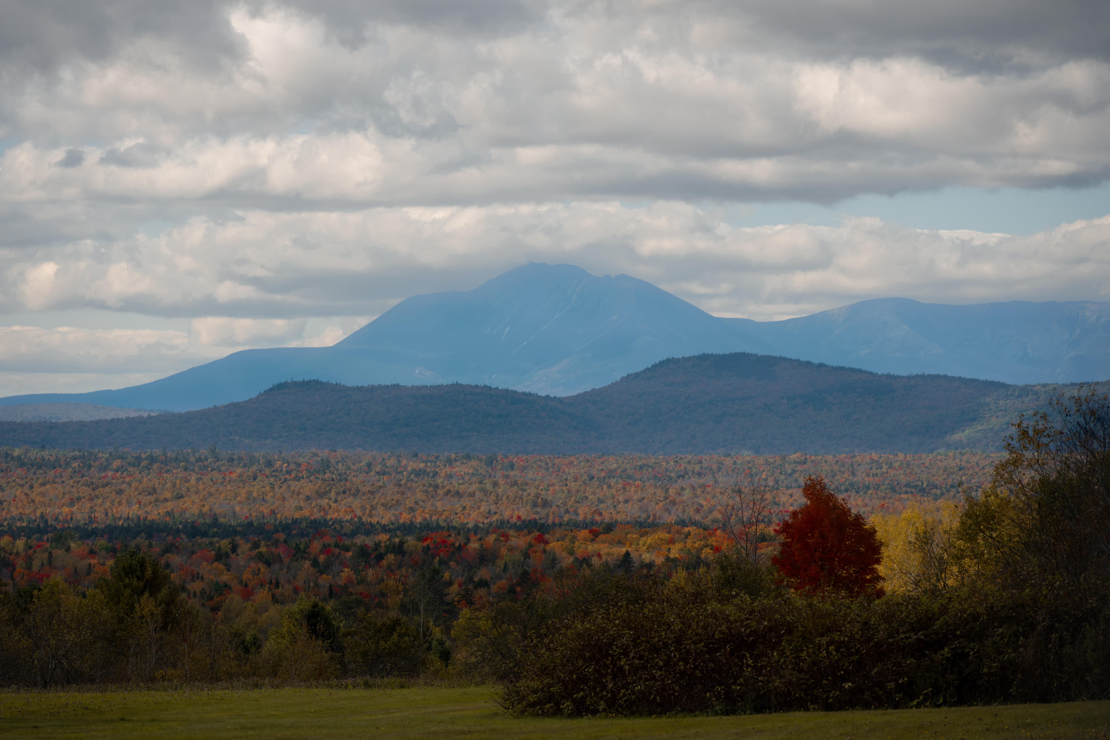
A tall mountain stands behind fall foliage and rolling hills.
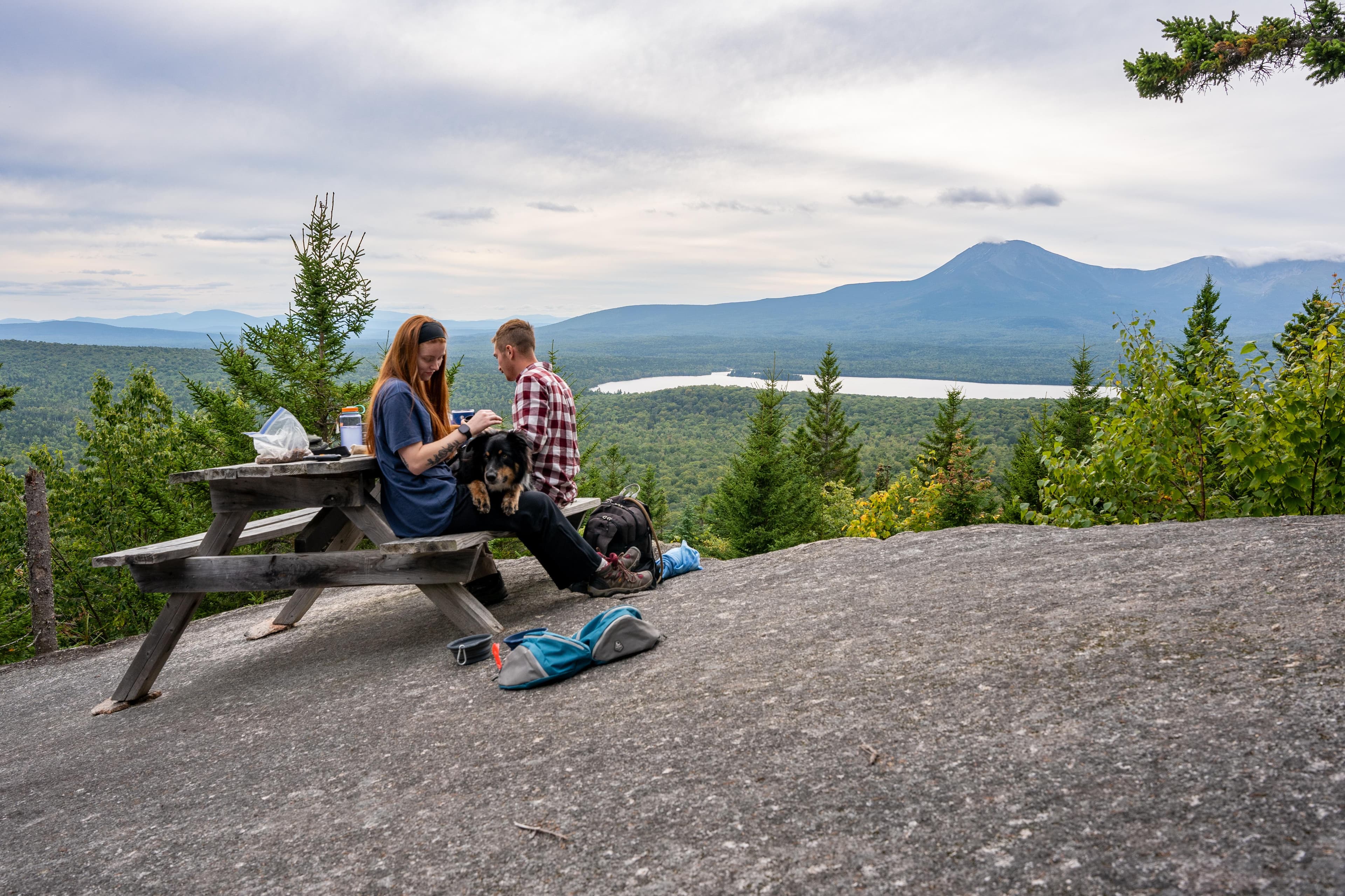
Hikers and a dog sit at a picnic table overlooking Katahdin.
When to Go
Crowd CalendarPlan your trip around peak seasons to avoid crowds or embrace the energy of the busy months. Our crowd predictions are based on historical NPS Visitor Use Statistics.
Jan
Feb
Mar
Apr
May
Jun
Jul
Aug
Sep
Oct
Nov
Dec
Build your Katahdin Woods and Waters itinerary
Tell Miza your dates, pace, and interests—get a day-by-day plan with hikes, drives, and must-see stops.
Best Time
May-September
Trip Length
1 day
Searching for the best hotel deals near Katahdin Woods and Waters National Monument...
Planning Katahdin Woods and Waters National Monument
These common questions go deeper into logistics and planning. For real-time updates on road closures and current conditions, always check the Alerts section above.