
Entrance Fee
$7.00
/ Entrance - Per Person
Park Hours (Today)
All Day
Houghton Visitor Center: Closed
Miza AI
Plan your Isle Royale trip
About the Park
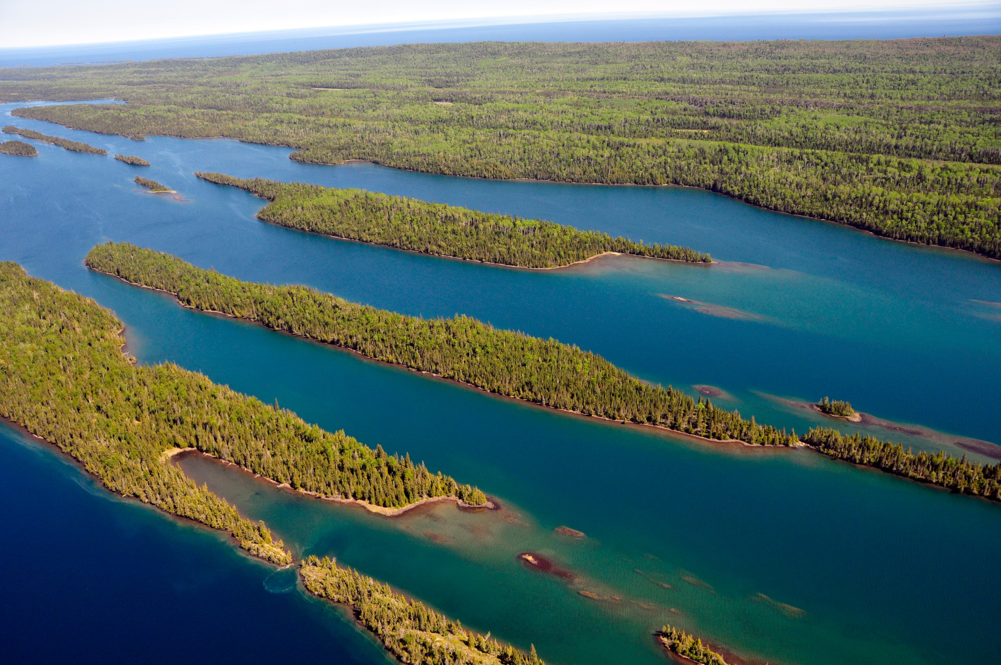
Explore a rugged, isolated island far from our connected communities. Isle Royale offers adventures for backpackers, hikers, boaters, paddlers, and divers. Cross Lake Superior and make a commitment: Become a part of this island, and let it become a part of you. Find peace and refuge in island wilderness – because Isle Royale, in turn, finds refuge in us. Help Isle Royale stay wild.

Ready to explore Isle Royale National Park?
Take the stress out of planning. Our AI will automatically sequence your stops, find the best hotels, and optimize your driving time in seconds.
What to See & Do
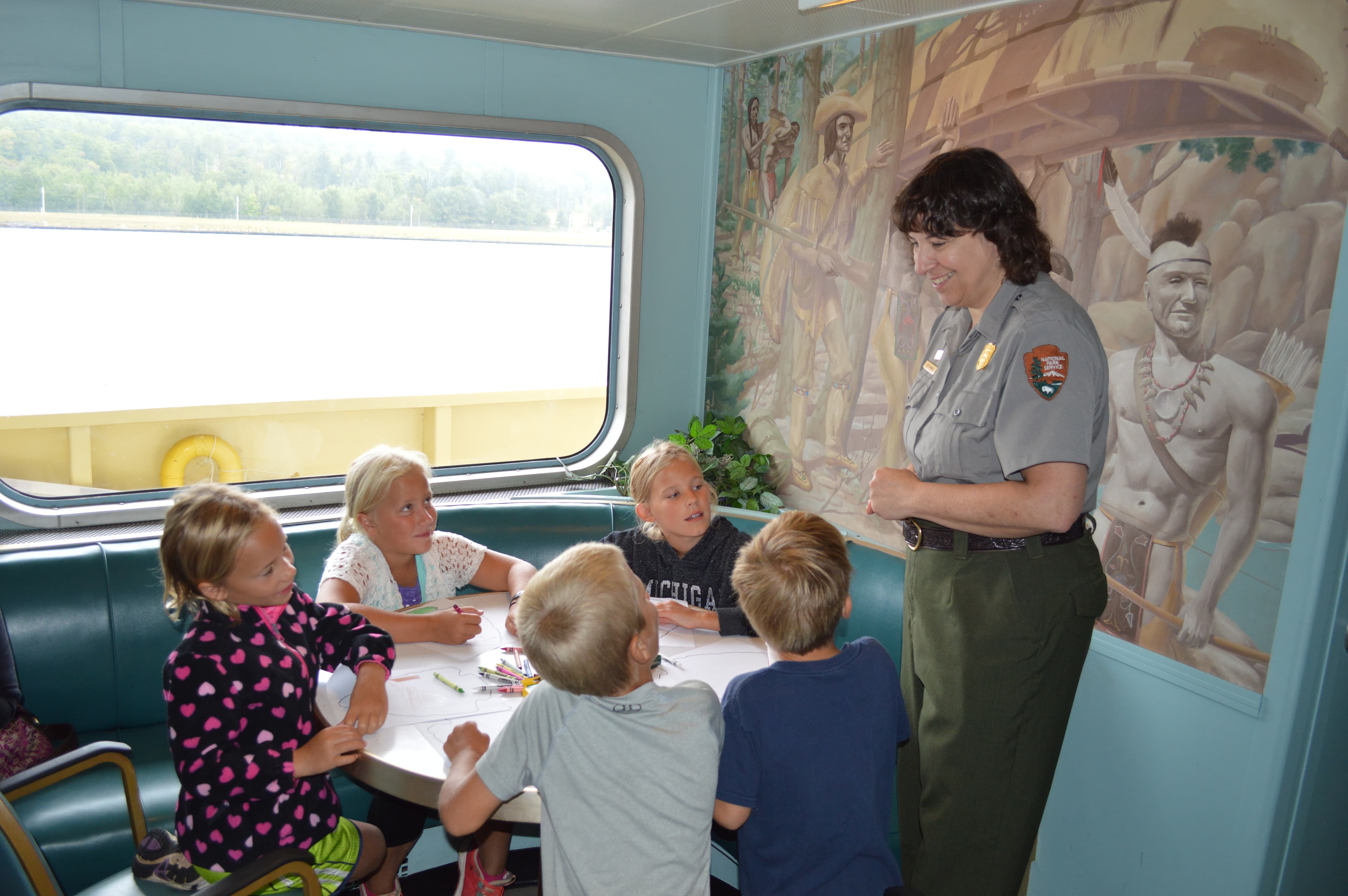
Become an Isle Royale Junior Ranger
Become an Isle Royale Junior Ranger and learn about the isolated island, the unique plants and animals found in the park, the island’s cultural history, and Leave No Trace principles.
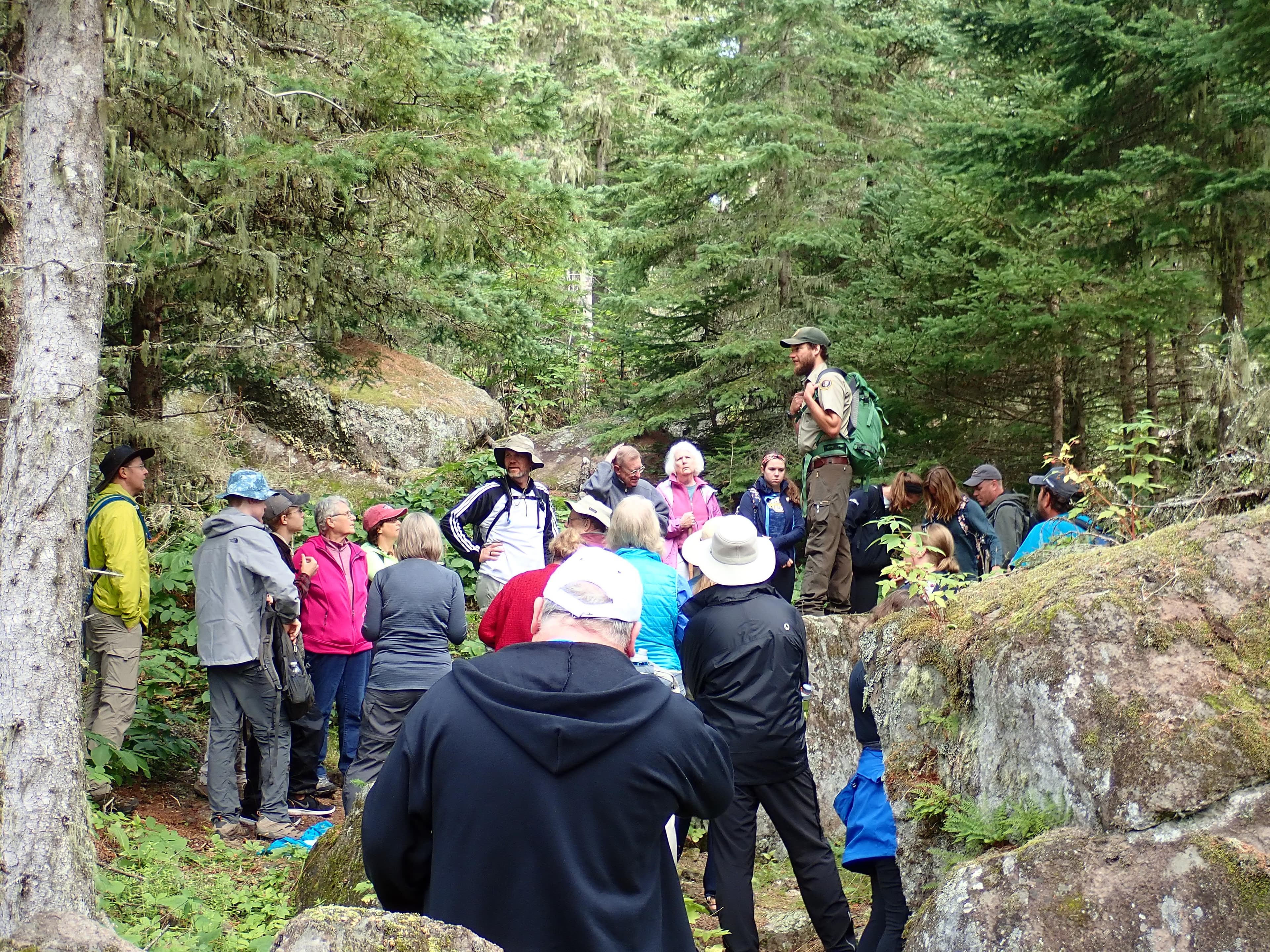
Attend a Rock Harbor Ranger Program
Attend a Rock Harbor ranger program at Isle Royale National Park. Learn about the isolated island, it's cultural history, and the critters who call the island home. Topics include moose, wolves, geology, shipwrecks, island biogeography, wilderness, and more. Ranger programs also include guided hikes and tours.
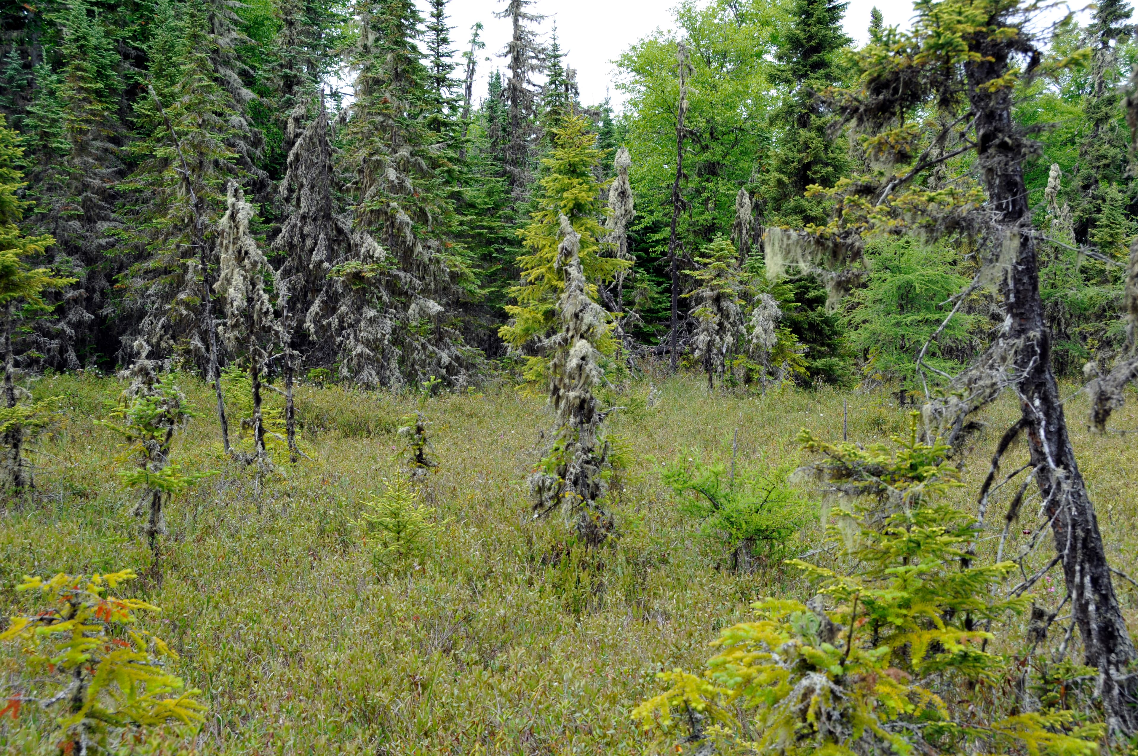
Explore Raspberry Island
Take a leisurely walk along a boardwalk through the spruce bog on Raspberry Island accessible by private boat, vessel rental, or a tour on the MV SANDY from Rock Harbor on Isle Royale’s east end.
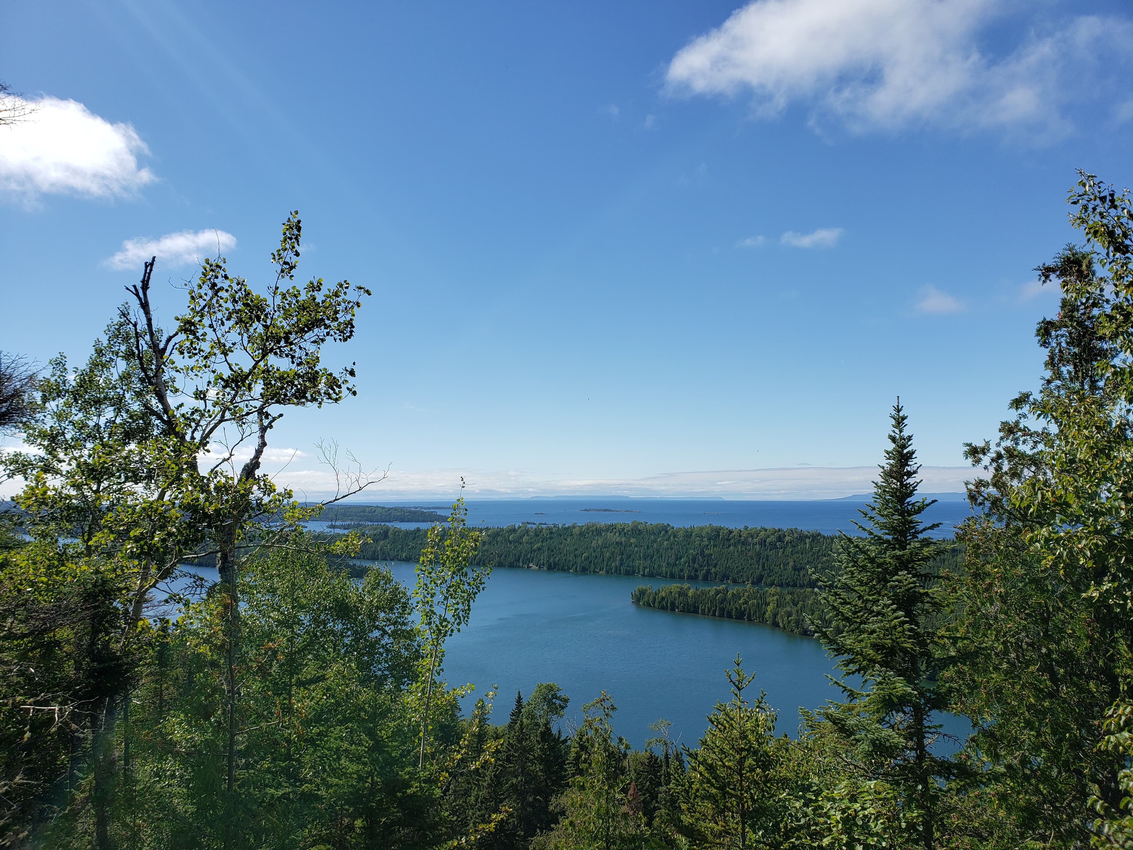
Greenstone Section 1: Hike from Lookout Louise to Mount Franklin
This secluded section of the Greenstone Ridge Trail reaches to the northeastern tip of Isle Royale. Mileage: About 5 miles
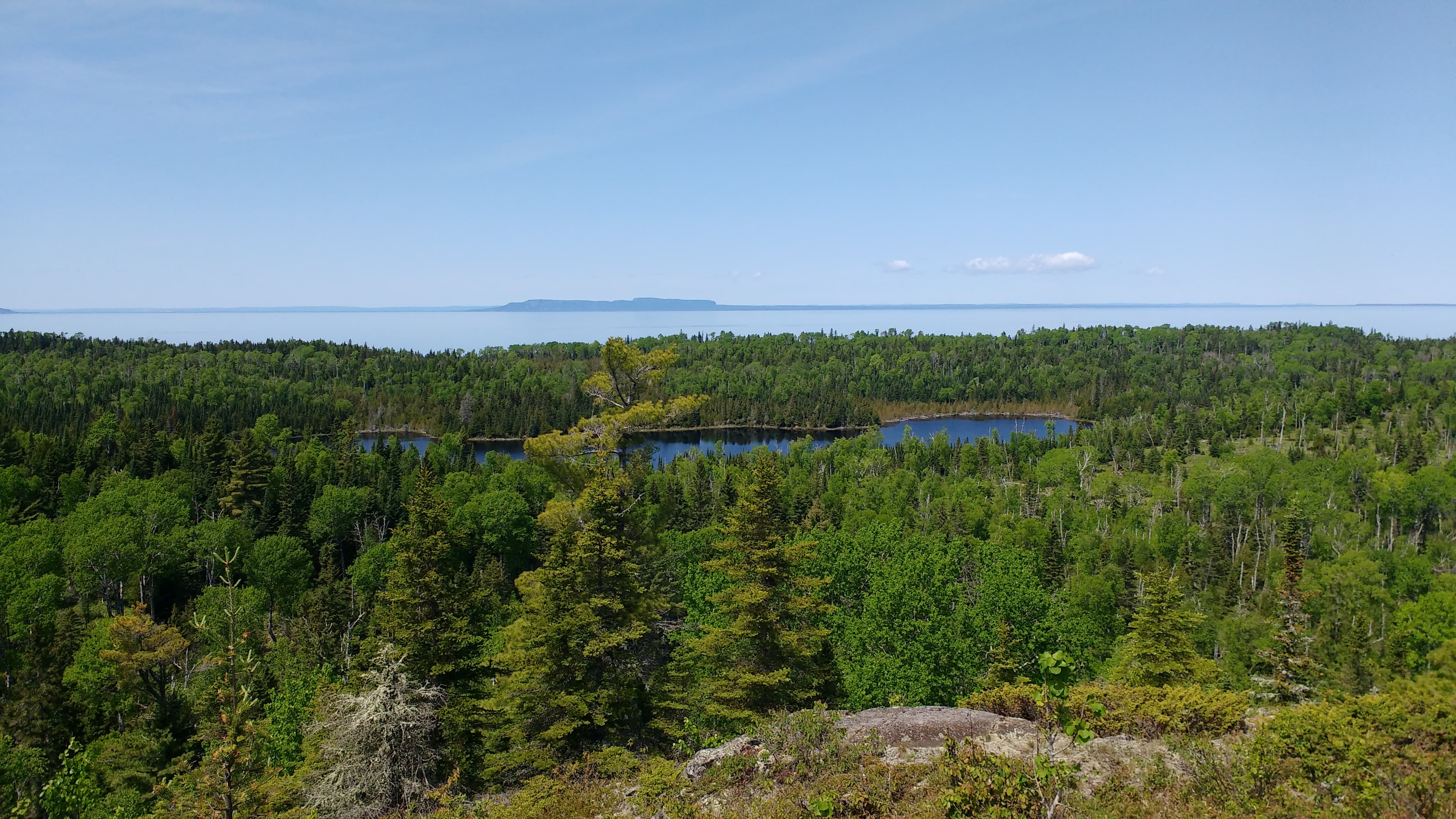
Minong Section 1: Hike from McCargoe Cove to Todd Harbor
Try out Isle Royale's most challenging trail by trekking this more traveled section of this primitive trail. Mileage: About 6.7 miles
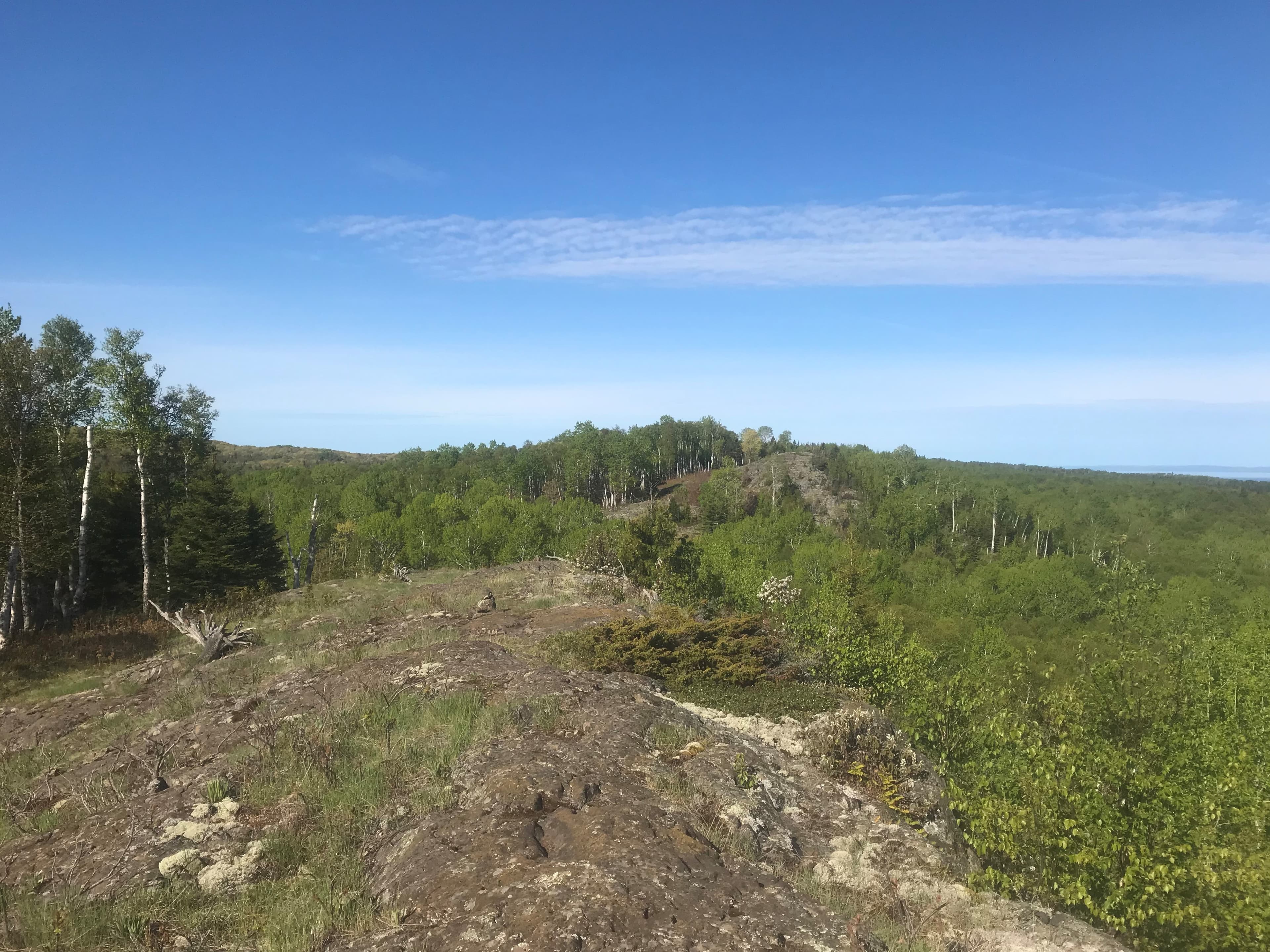
Minong Section 2: Hike from Todd Harbor to Little Todd
Enjoy scenic views of interior lakes, Lake Superior, and Canada on this strenuous, primitive trail. Mileage: About 6.8 miles
Visitor Centers
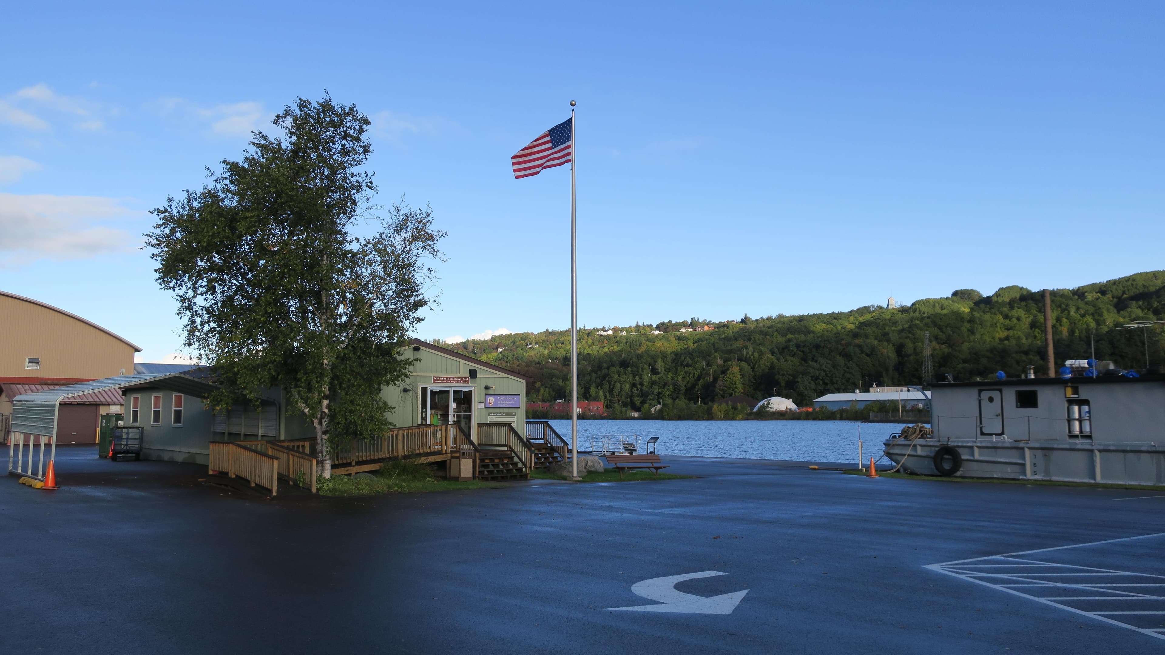
Houghton Visitor Center
The Houghton Visitor Center is located in Houghton, Michigan. It is the mainland headquarters for Isle Royale National Park. Trip planning assistance, Ranger III tickets and information, a park store, and viewing the park film are available.
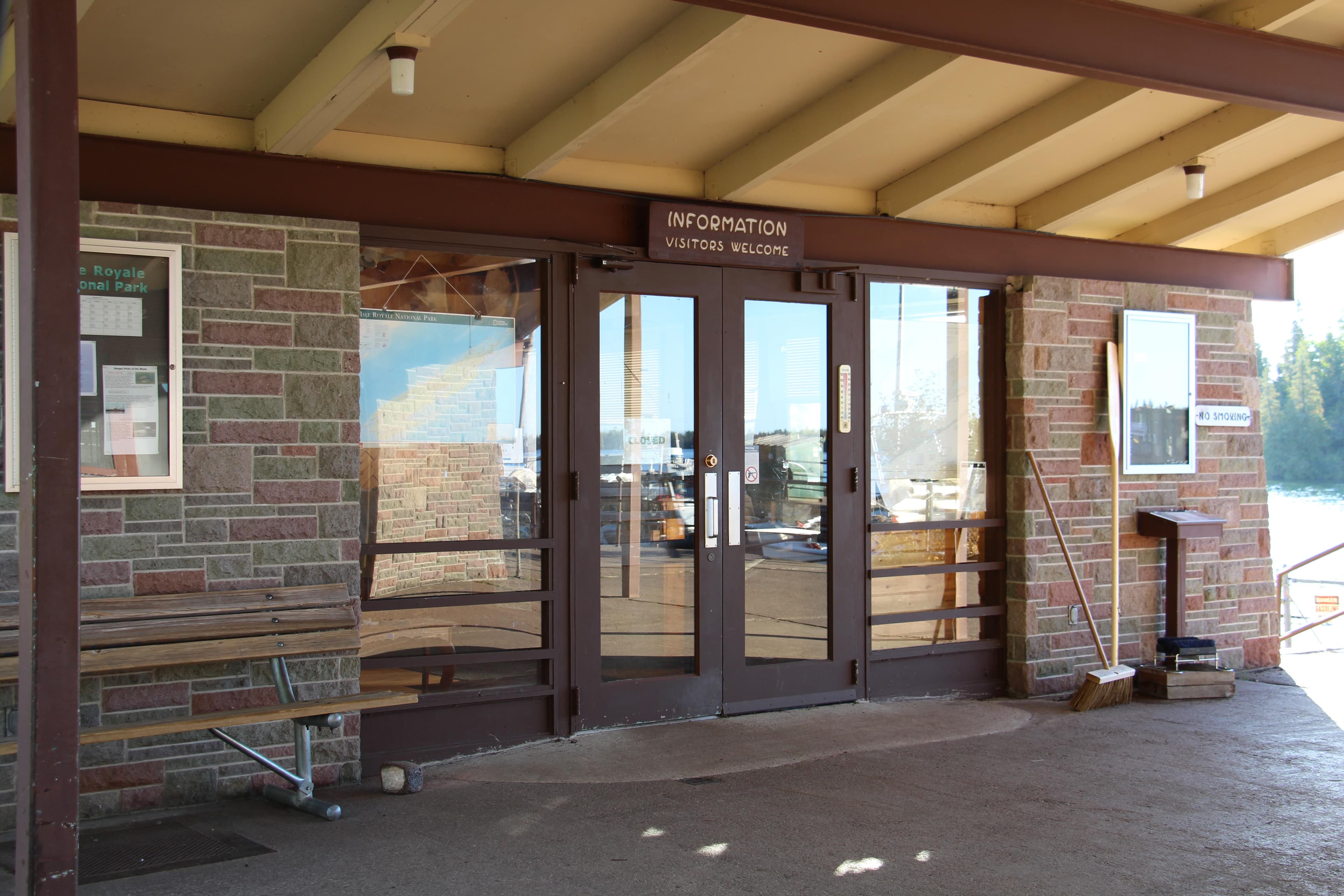
Rock Harbor Visitor Center
The Rock Harbor Visitor Center is located in Rock Harbor on the northeast end of Isle Royale National Park. It is only accessible by boat or seaplane. Permitting and fee payment, trip planning assistance, and a park store area available.
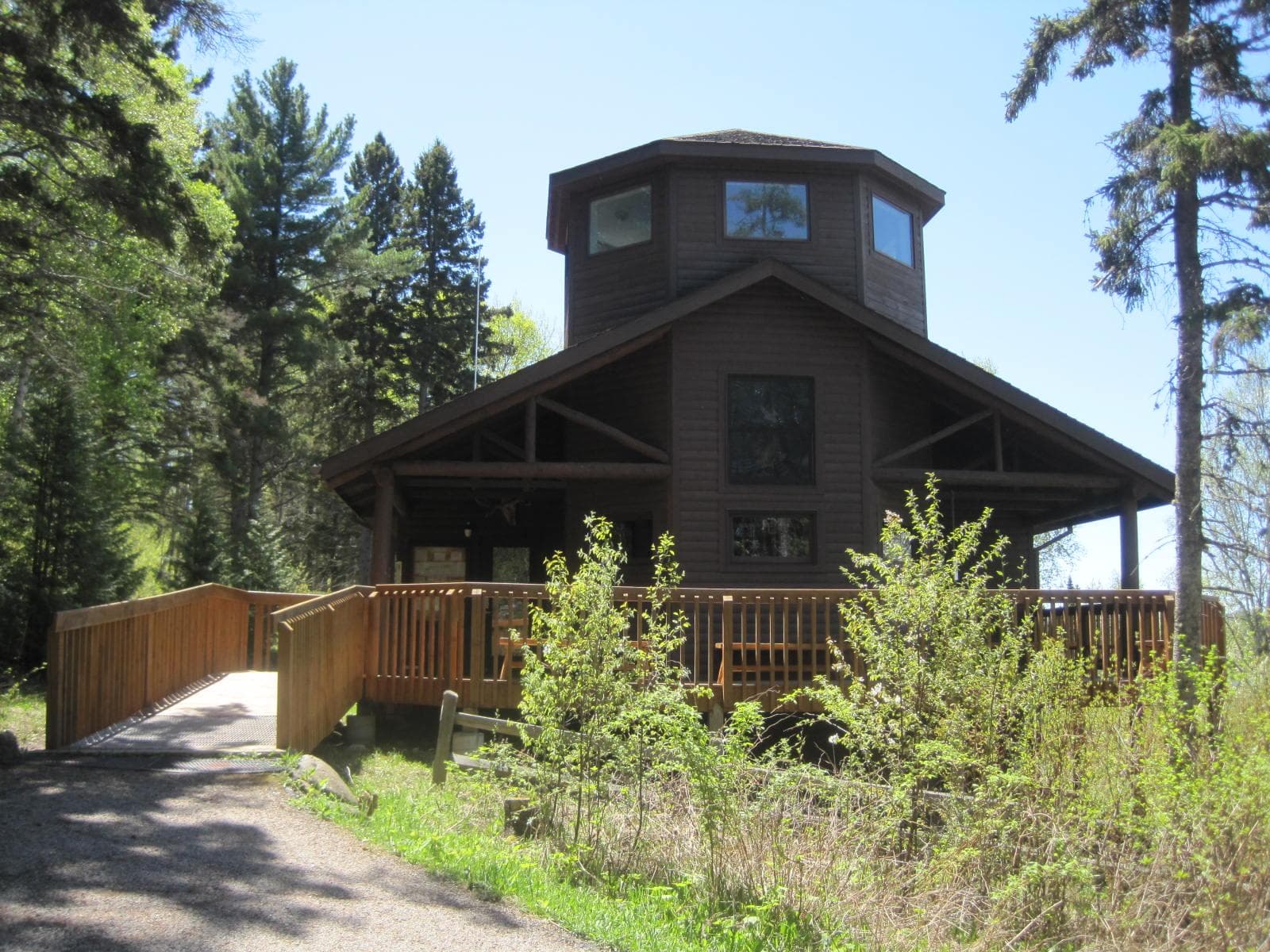
Windigo Visitor Center
The Windigo Visitor Center is located in Windigo on the southwest end of Isle Royale National Park. It is only accessible by boat or seaplane. Permitting and fee payment, trip planning assistance, a park store, and exhibits are available.
Where to Stay
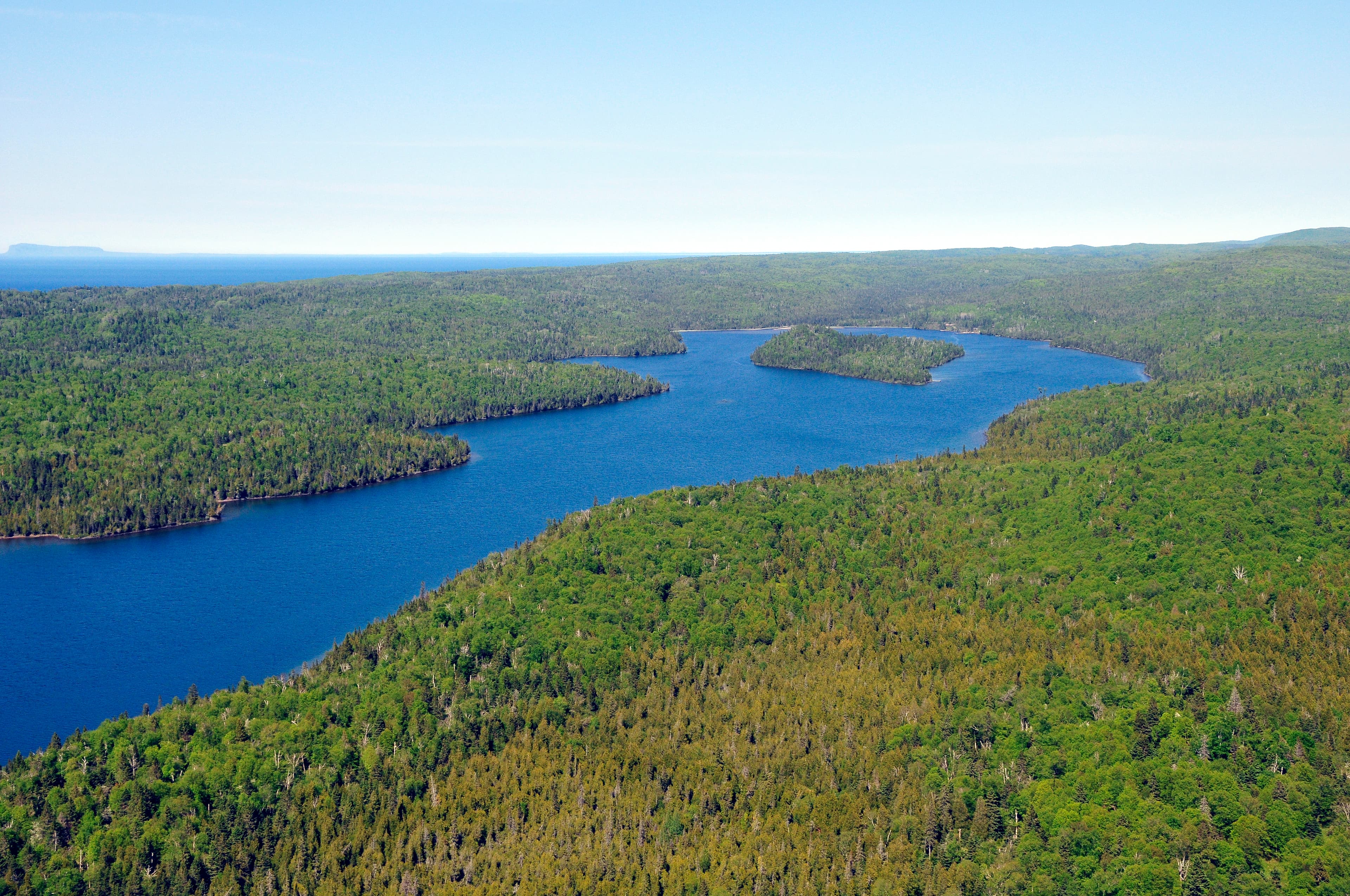
Beaver Island Campground
Located in the center of Washington Harbor, near Windigo. All shelters are water facing. Boats can stay at the dock overnight. Stay Limit: 3 nights effective from 6/1 - Labor Day annually. Shelters: 3 Depth at dock (normal conditions): 2'-5' Access: Canoe/kayak/private boat
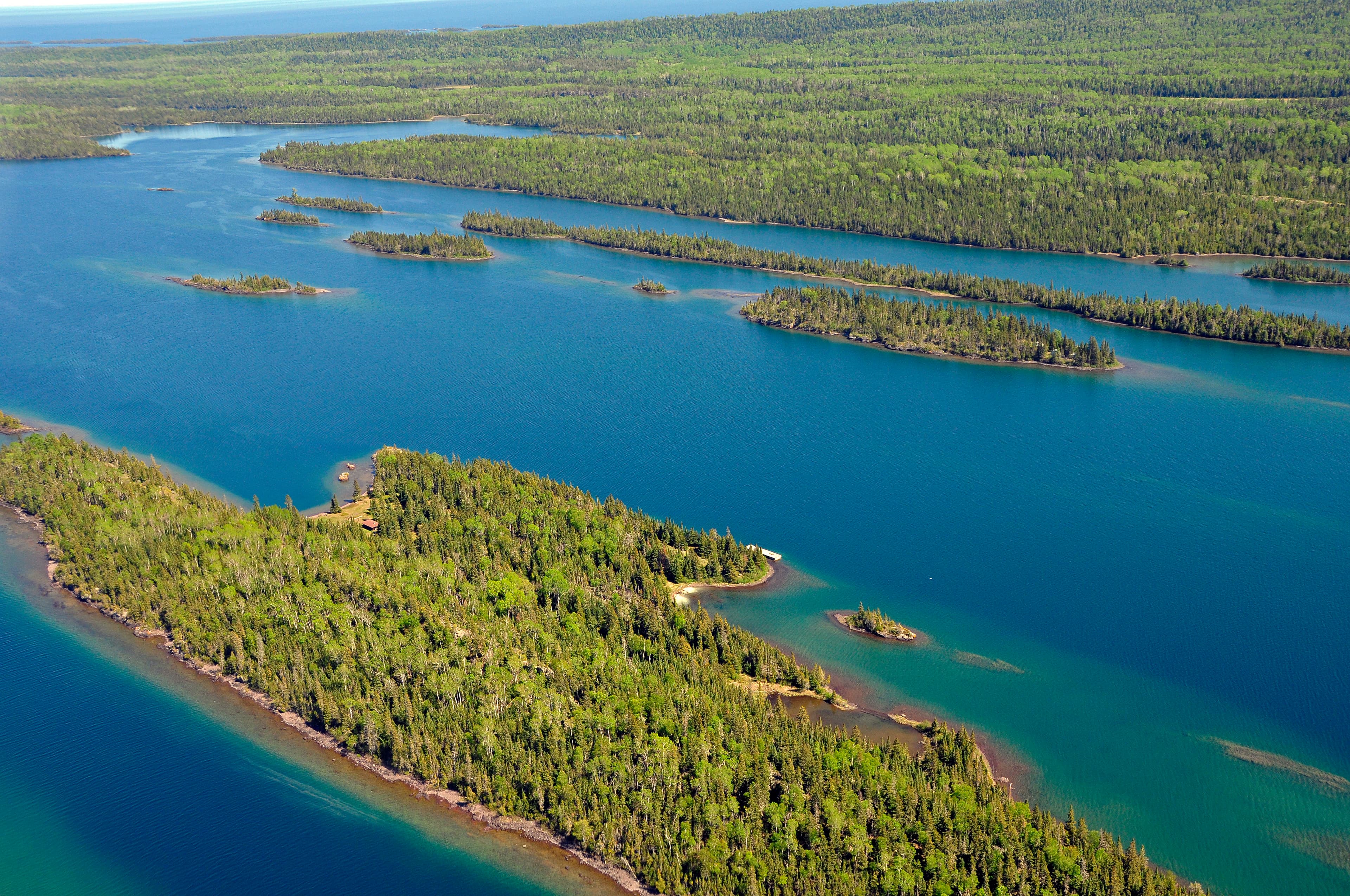
Belle Isle Campground
A campground located on Belle Isle, in Belle Harbor, on the northeast end of Isle Royale National Park. Boats can use dock for overnight stays. Stay Limit: 5 nights, effective 6/1 – Labor Day. Shelters: 6 Depth at dock (normal conditions): 13’ Access: Canoe/kayak/private boat
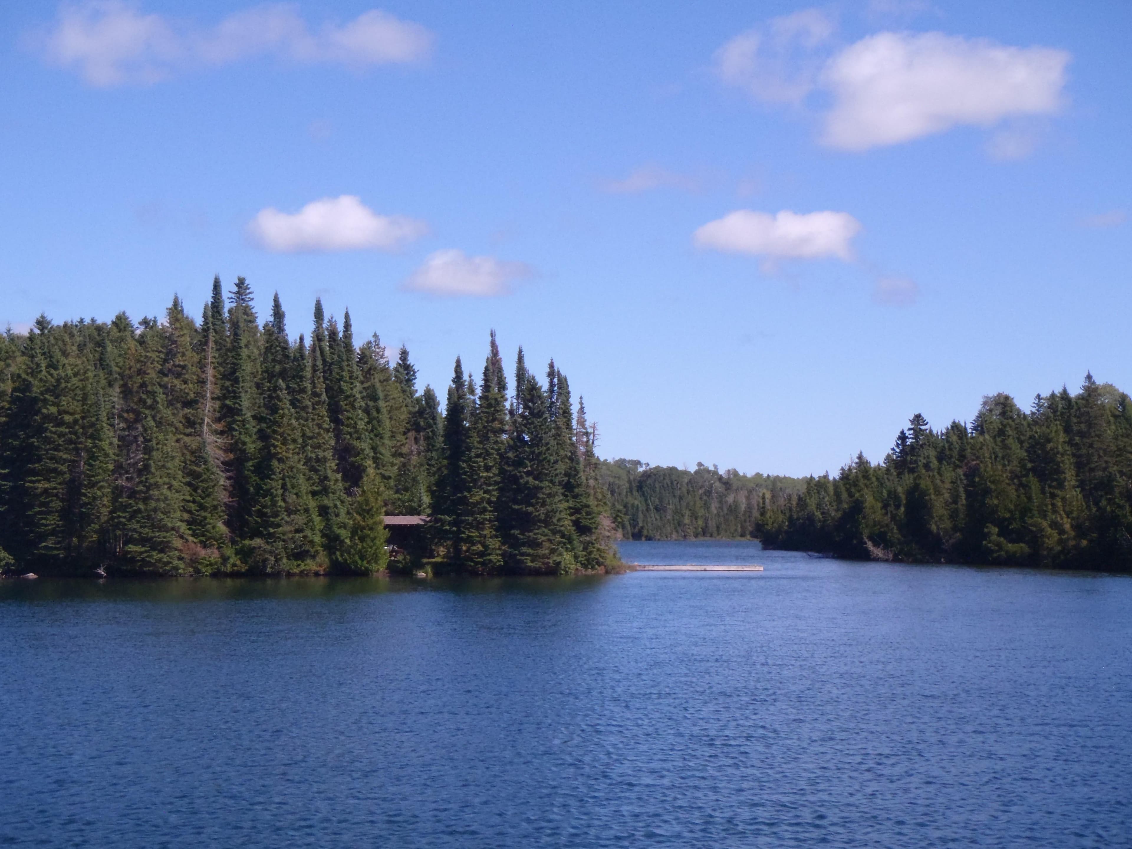
Birch Island Campground
Small campground on Birch Island, near the mouth of McCargoe Cove, on the north side of Isle Royale National Park. One individual tent site and one shelter on site. Boats can stay overnight at dock. Stay Limit: 3 nights June 1 - Labor Day annually. Shelters: 1 Depth at dock (normal conditions): 5' Access: Canoe/kayak/private boat
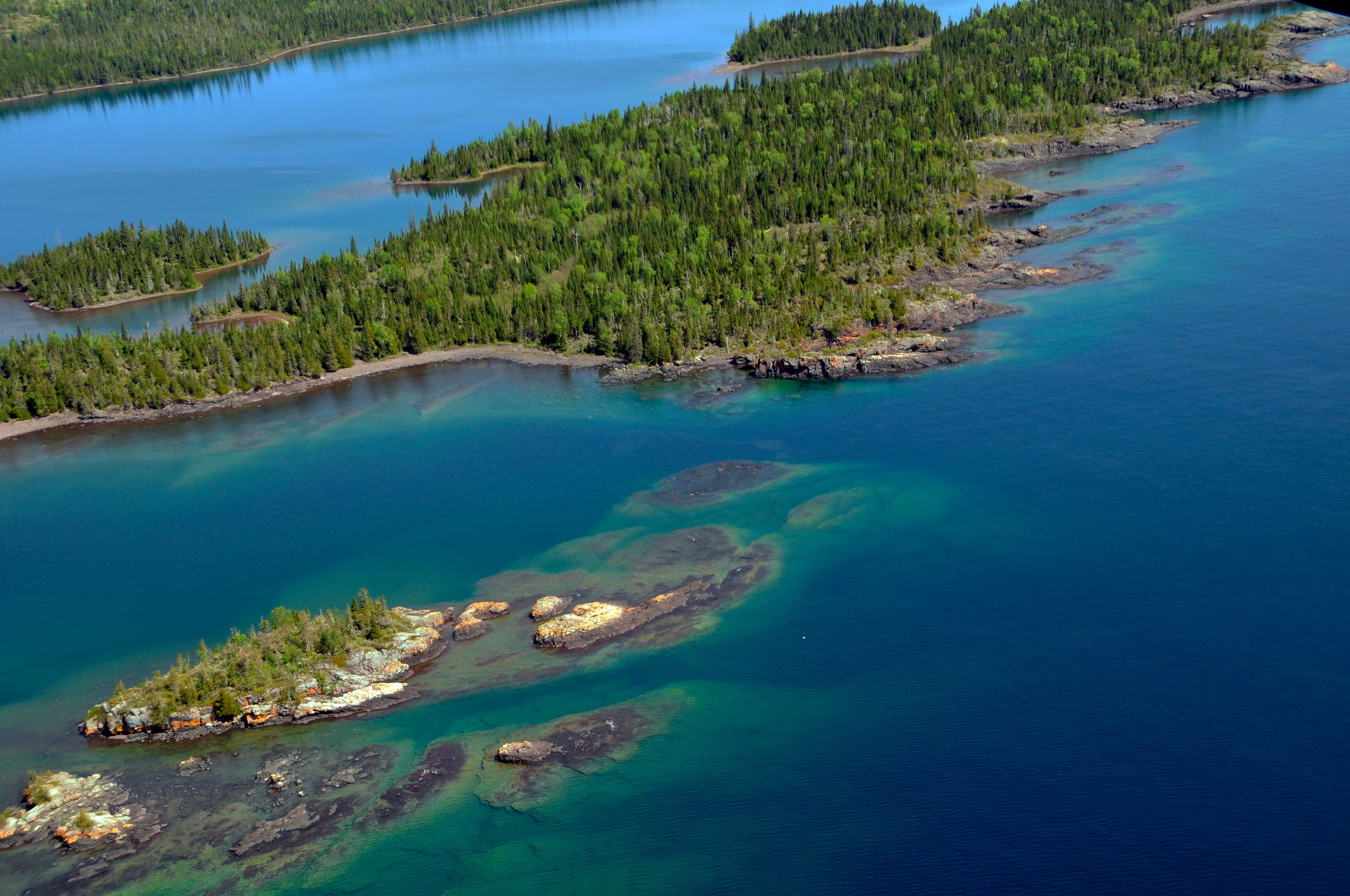
Caribou Island Campground
Caribou Island Campground is located on the very western tip of West Caribou Island, in Rock Harbor Channel, on the northeast end of Isle Royale National Park. Boats can dock overnight. Stay Limit: 3 nights effective from June 1 – Labor Day. Shelters: 2 Depth at dock (normal conditions): 10’ Access: Canoe/kayak/private boat
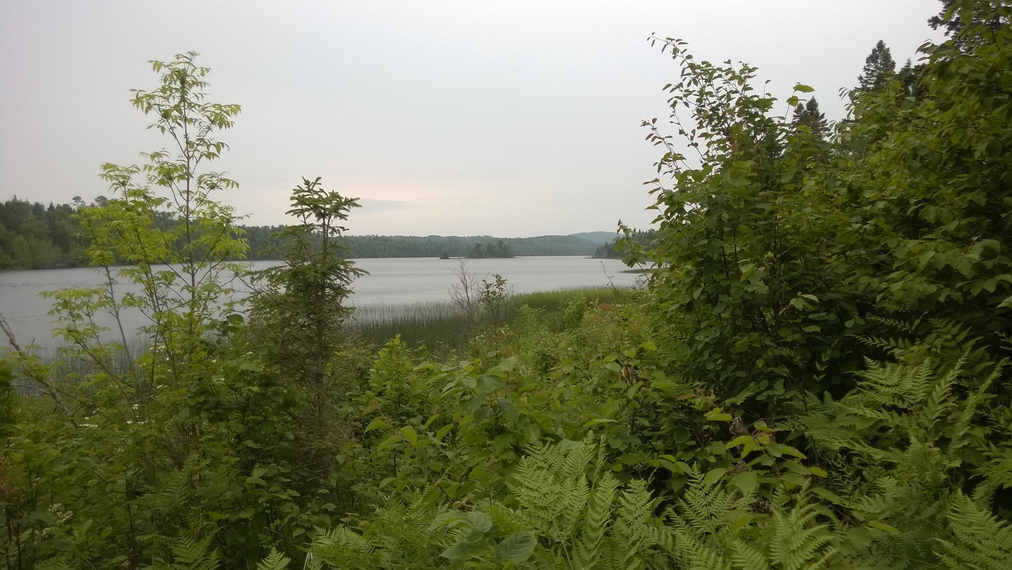
East Chickenbone Campground
An inland campground located on the east end of Chickenbone Lake, off of the East Chickenbone Trail. No boater access. Canoe/kayak access using 1.2 mile portage from McCargoe Cove or 0.2 mile portage from Lake Livermore. Be aware that the campground is not on the shoreline - West Chickenbone Campground is more accessible for watercraft. Stay Limit: 2 nights from June 1 – Labor Day annually. Access: Foot/canoe/kayak
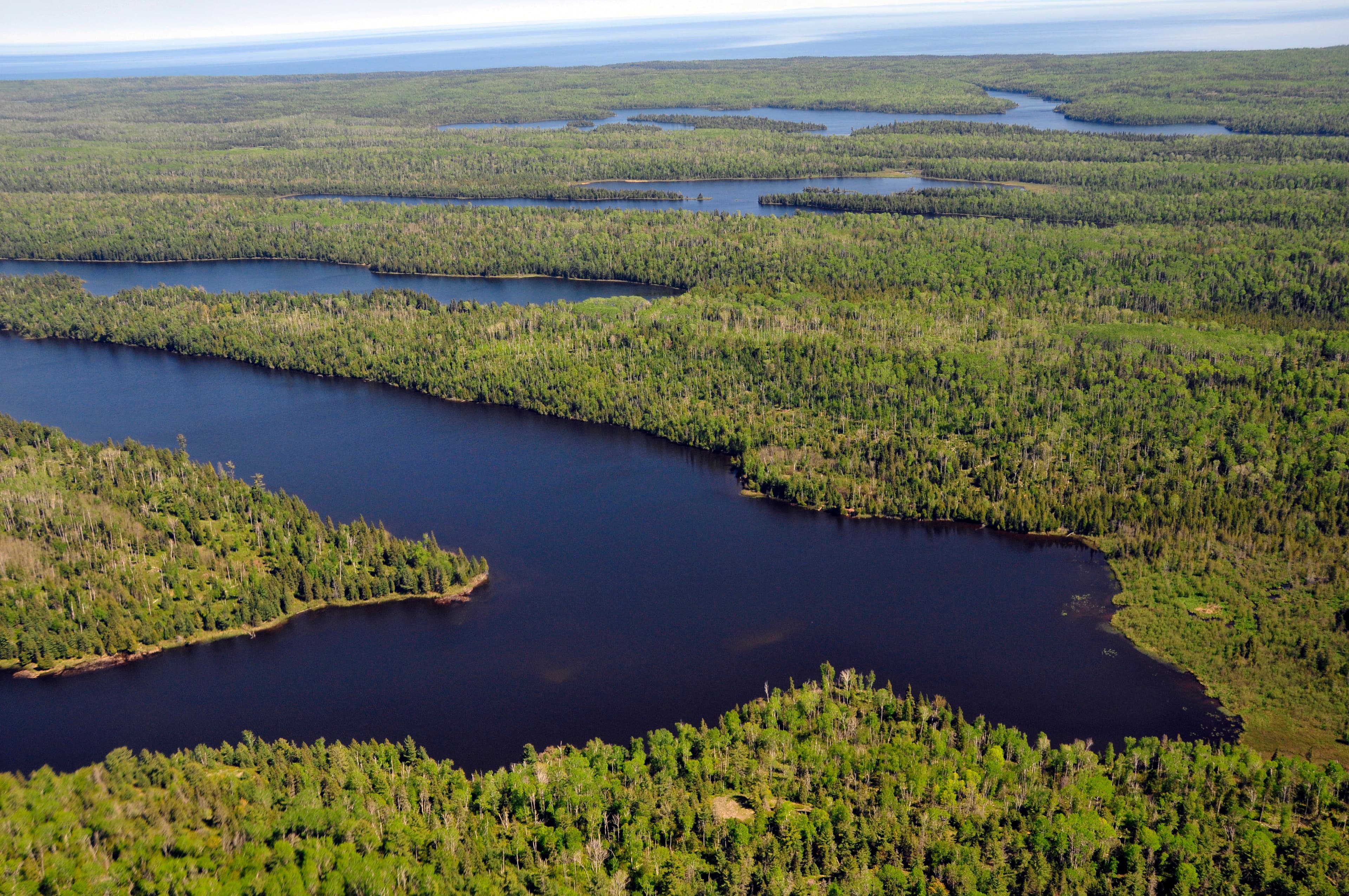
West Chickenbone Campground
West Chickenbone Campground is located on the west end of Chickenbone Lake, off of the Indian Portage Trail This inland campground has no boater access. Canoe/kayak access from the 1.2 mile portage from McCargoe Cove or the 0.2 mile portage from Lake Livermore. Stay Limit: 2 nights from June 1 – Labor Day annually. Access: Foot/canoe/kayak
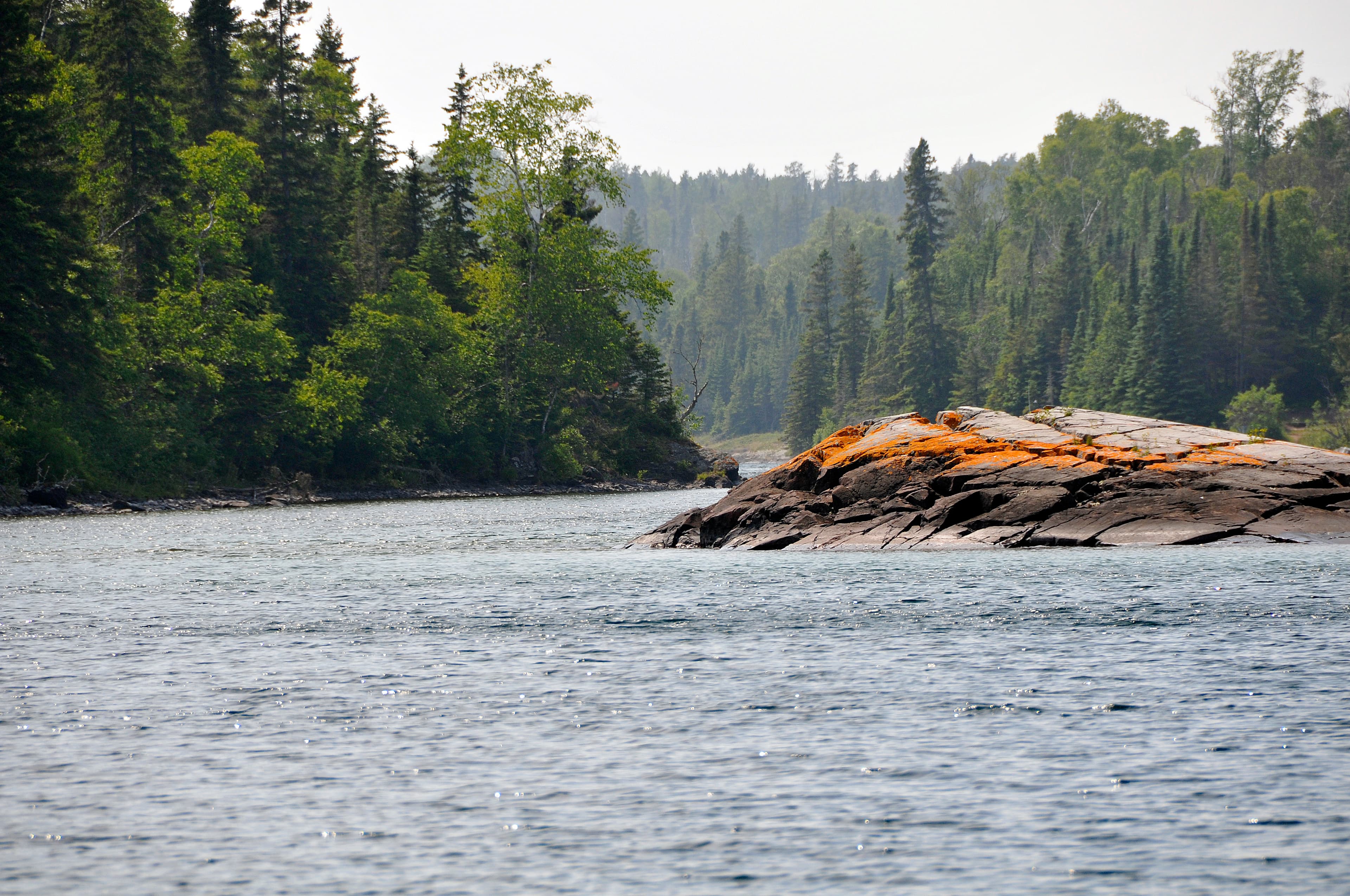
Chippewa Harbor Campground
Chippewa Harbor Campground is located in Chippewa Harbor, on the south shore of Isle Royale National Park. Trail access is via the Indian Portage Trail. Boats can stay overnight at dock. Stay Limit: 3 nights from June 1 – Labor Day annually. Shelters: 4 Depth at dock (normal conditions): 7’ Access: Foot/canoe/kayak/private boat
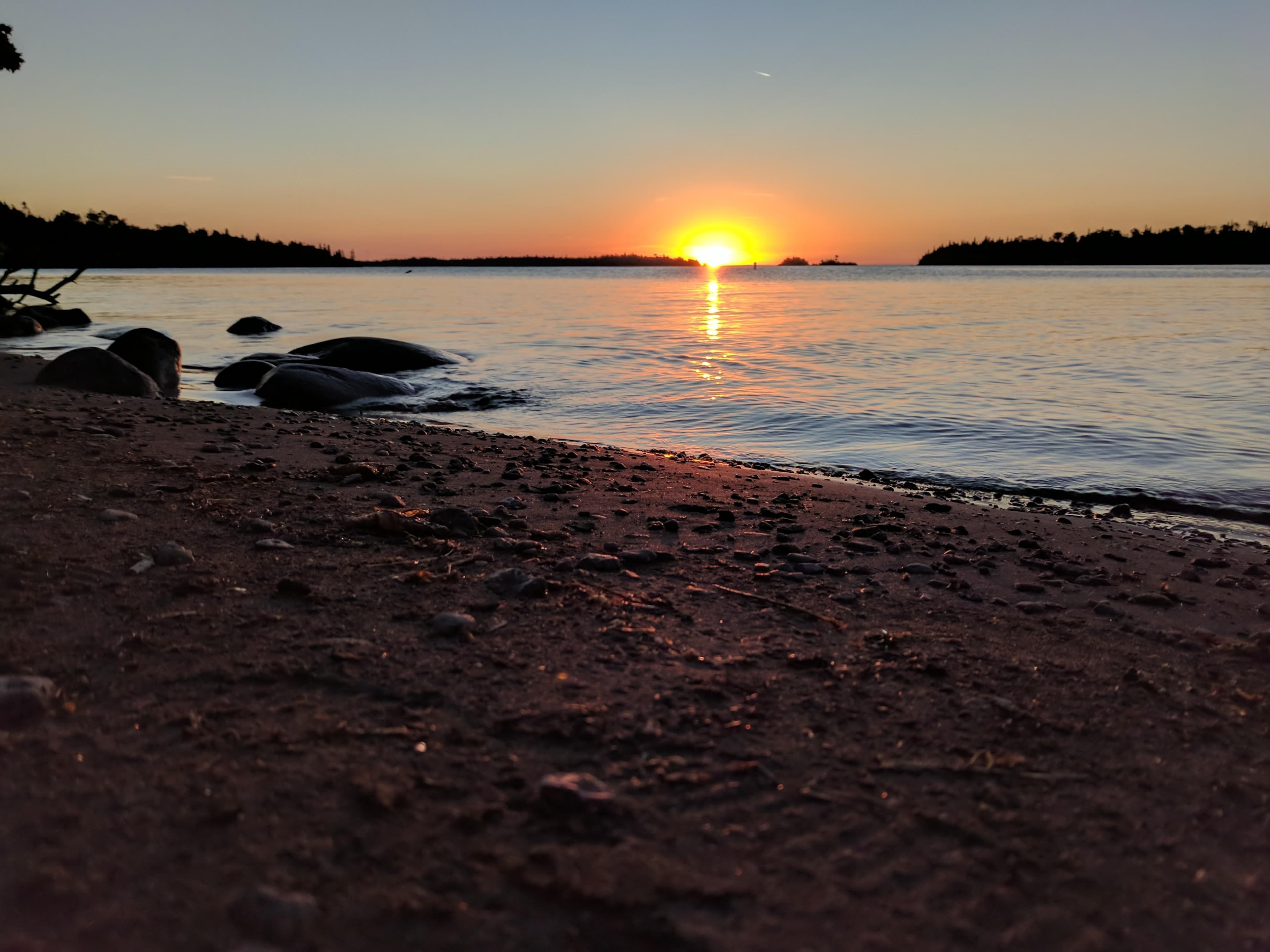
Daisy Farm Campground
Isle Royale's largest campground is located at Daisy Farm, in Rock Harbor Channel, off of the Rock Harbor Trail, Daisy Farm Trail, and Mount Ojibway Trail. Boats can stay overnight at dock. Ranger Station staffed seasonally. Stay Limit: 3 nights from June 1 – Labor Day annually. Shelters: 16 Depth at dock (normal conditions): 9’. Access: Foot/canoe/kayak/private boat
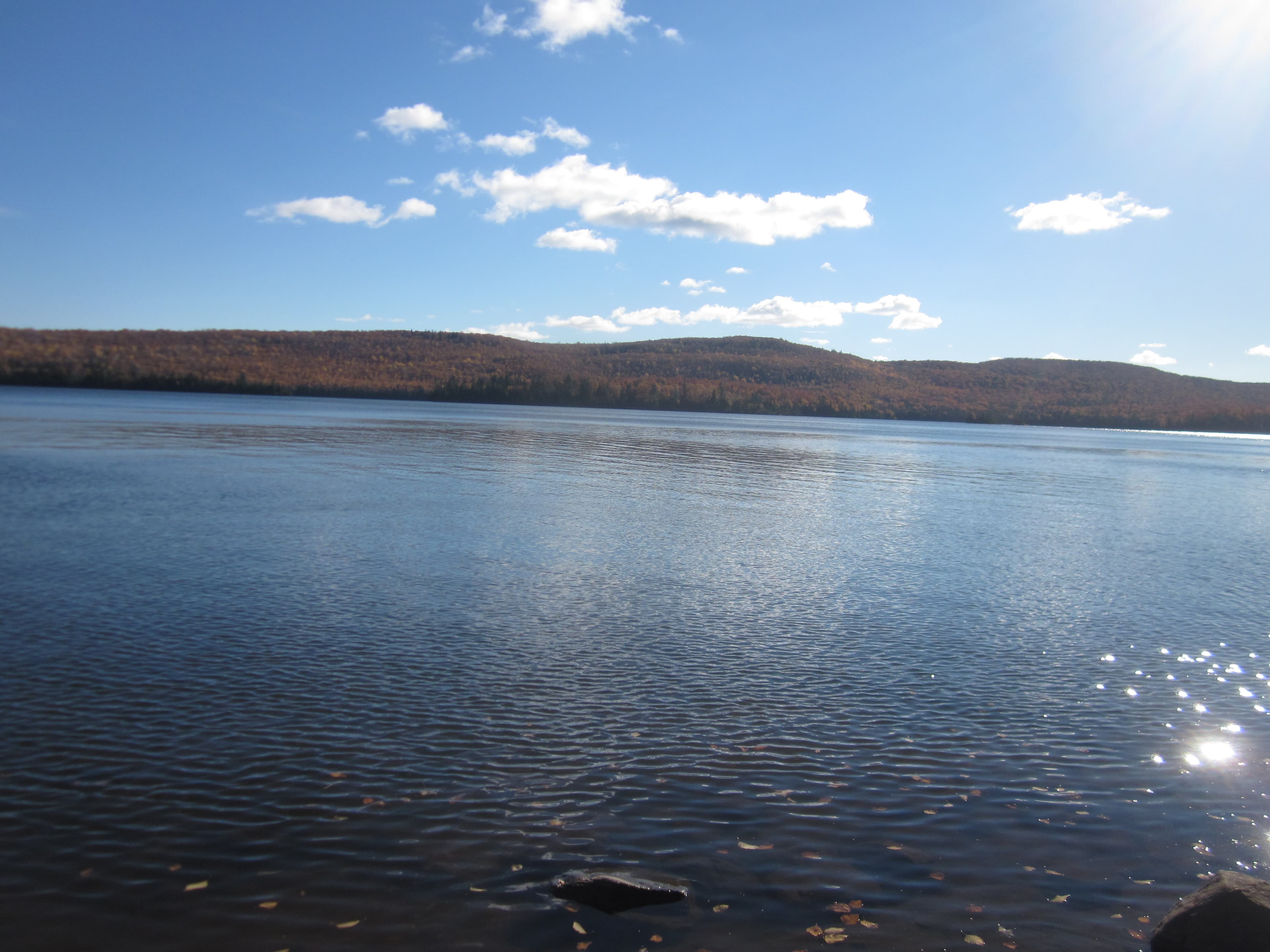
North Desor Campground
North Desor Campground is located on the north side of Lake Desor off of the Minong Ridge Trail. There is no boat/canoe/kayak access. Stay Limit: 2 nights from June 1 – Labor Day Access: Foot
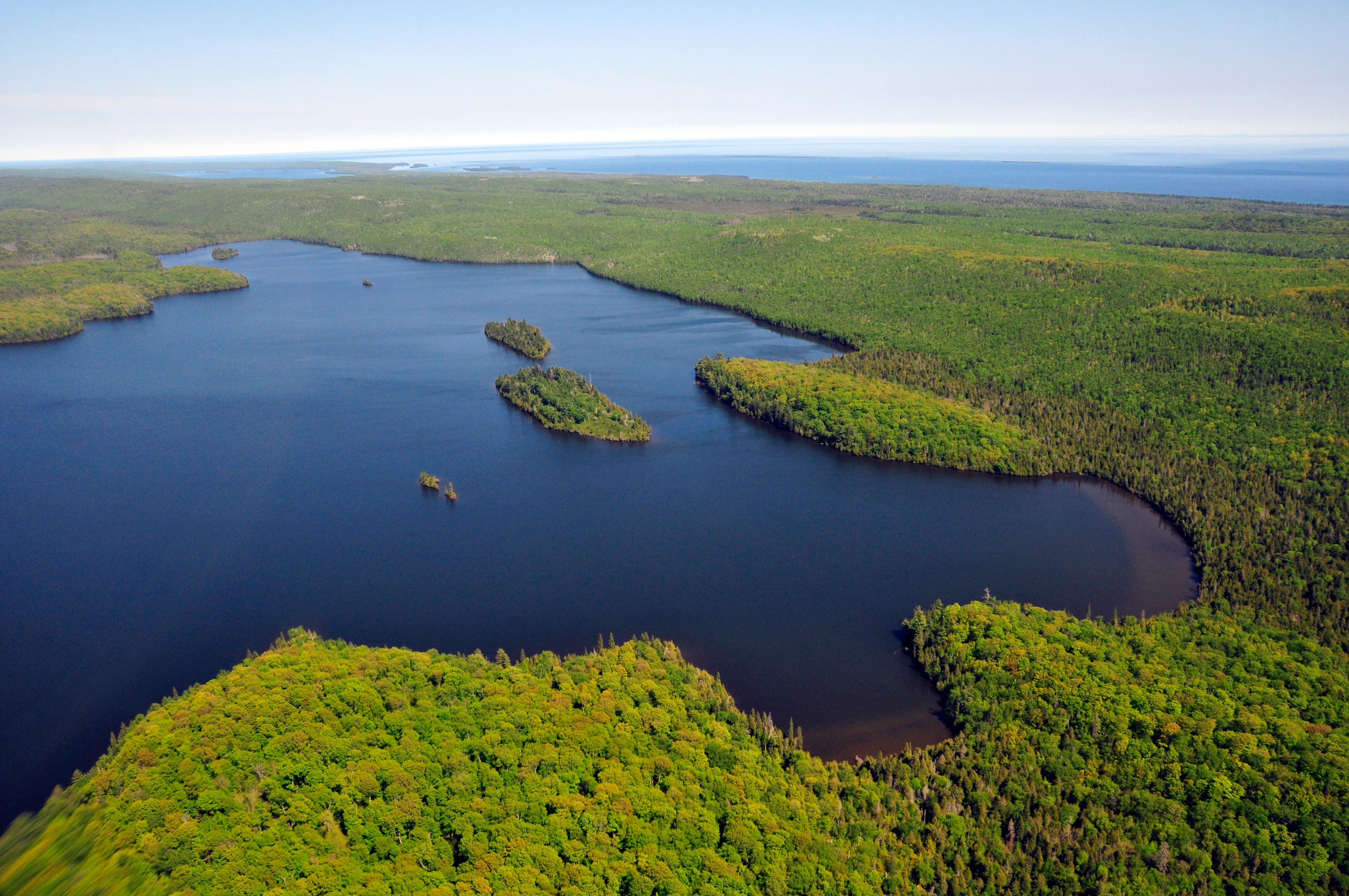
South Lake Desor Campground
South Lake Desor Campground is located inland on the south side of Lake Desor off of the Greenstone Ridge Trail. There is no canoe/kayak/boat access. Stay Limit: 2 nights effective from June 1 – Labor Day. Access: Foot
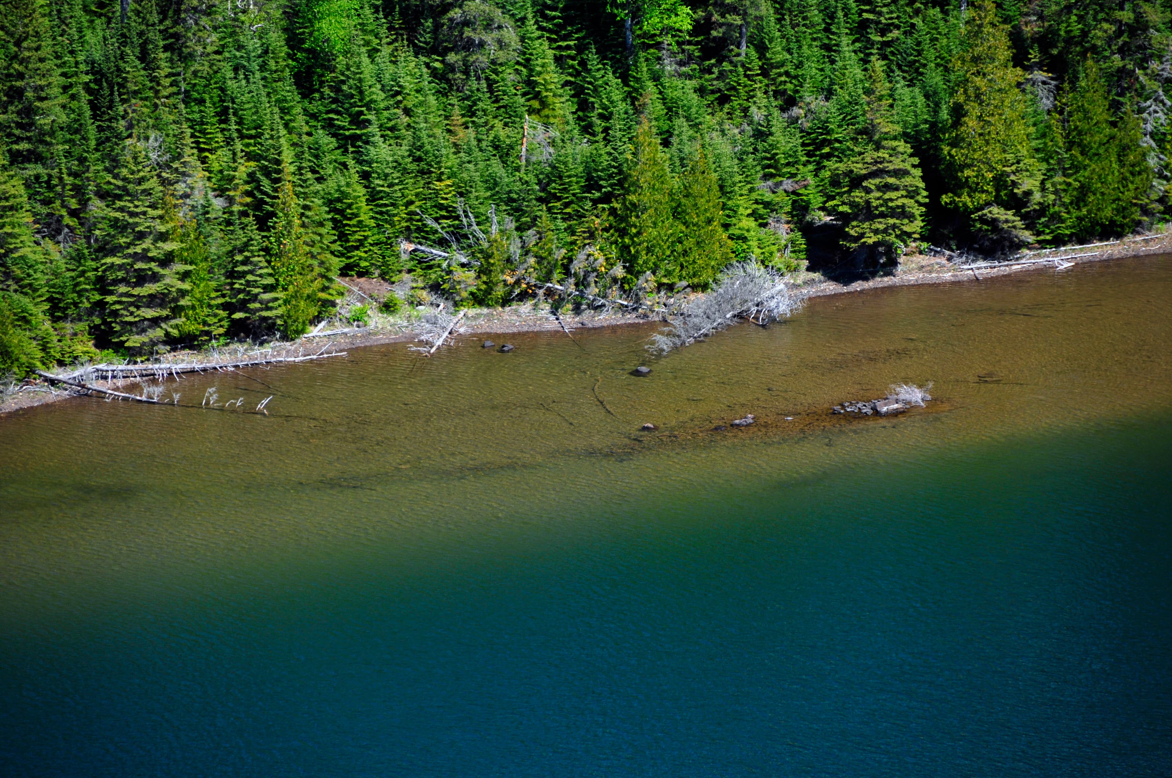
Duncan Bay Campground
Duncan Bay Campground is located on the west end of Duncan Bay, on the northeast end of Isle Royale National Park. Boats can stay overnight at dock. Stay Limit: 3 nights from June 2 – Labor Day annually. Shelters: 2 Depth at dock (normal conditions): 6’ Access: Canoe/kayak/private boat
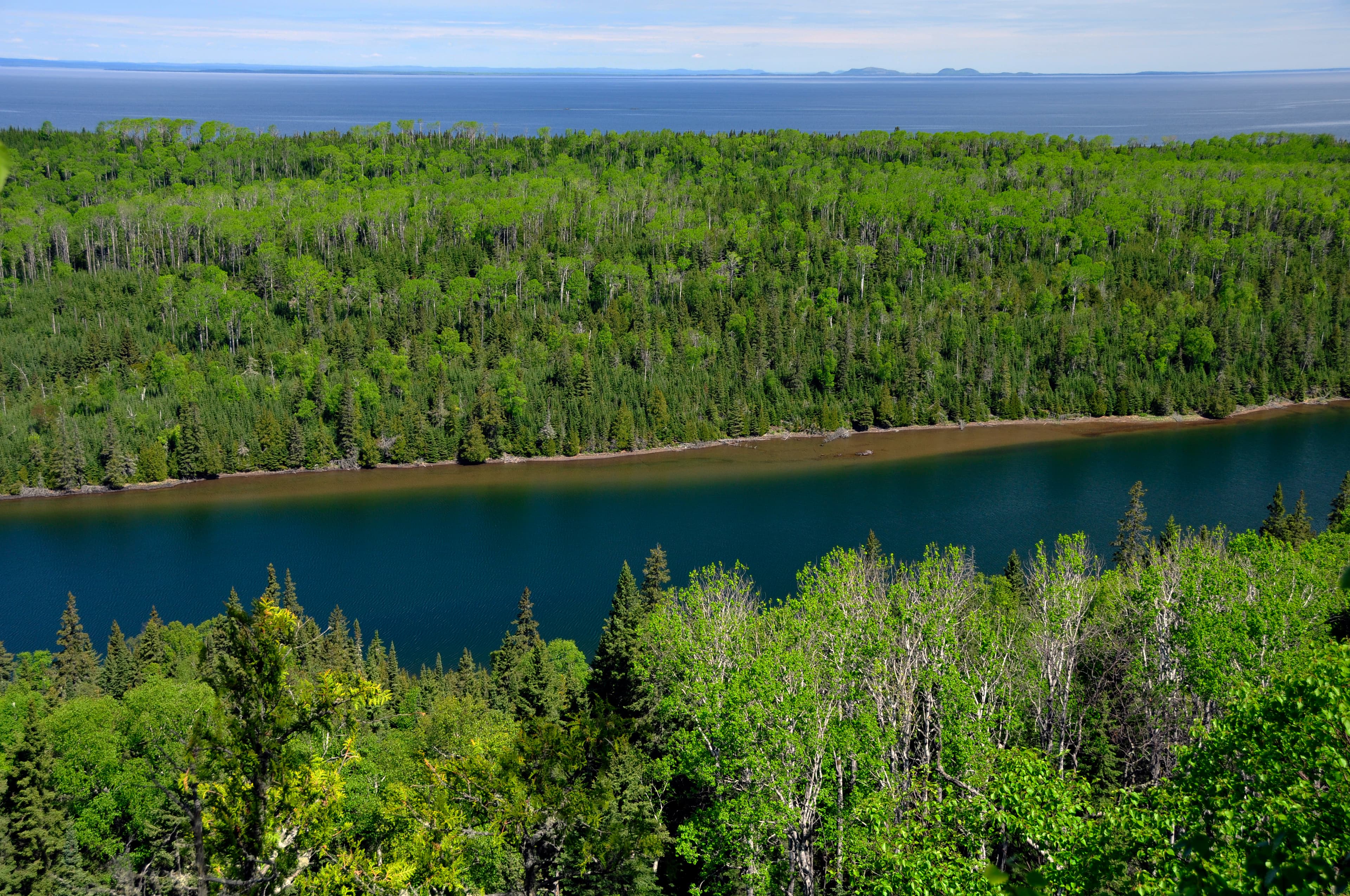
Duncan Narrows Campground
Duncan Narrows Campground is located in the narrows of Duncan Bay on the northeast end of Isle Royale National Park. Boats can stay overnight at dock. Stay Limit: 3 nights from June 1 – Labor Day annually. Shelters: 2 Depth at dock (normal conditions): 6’. Access: Canoe/kayak/private boat
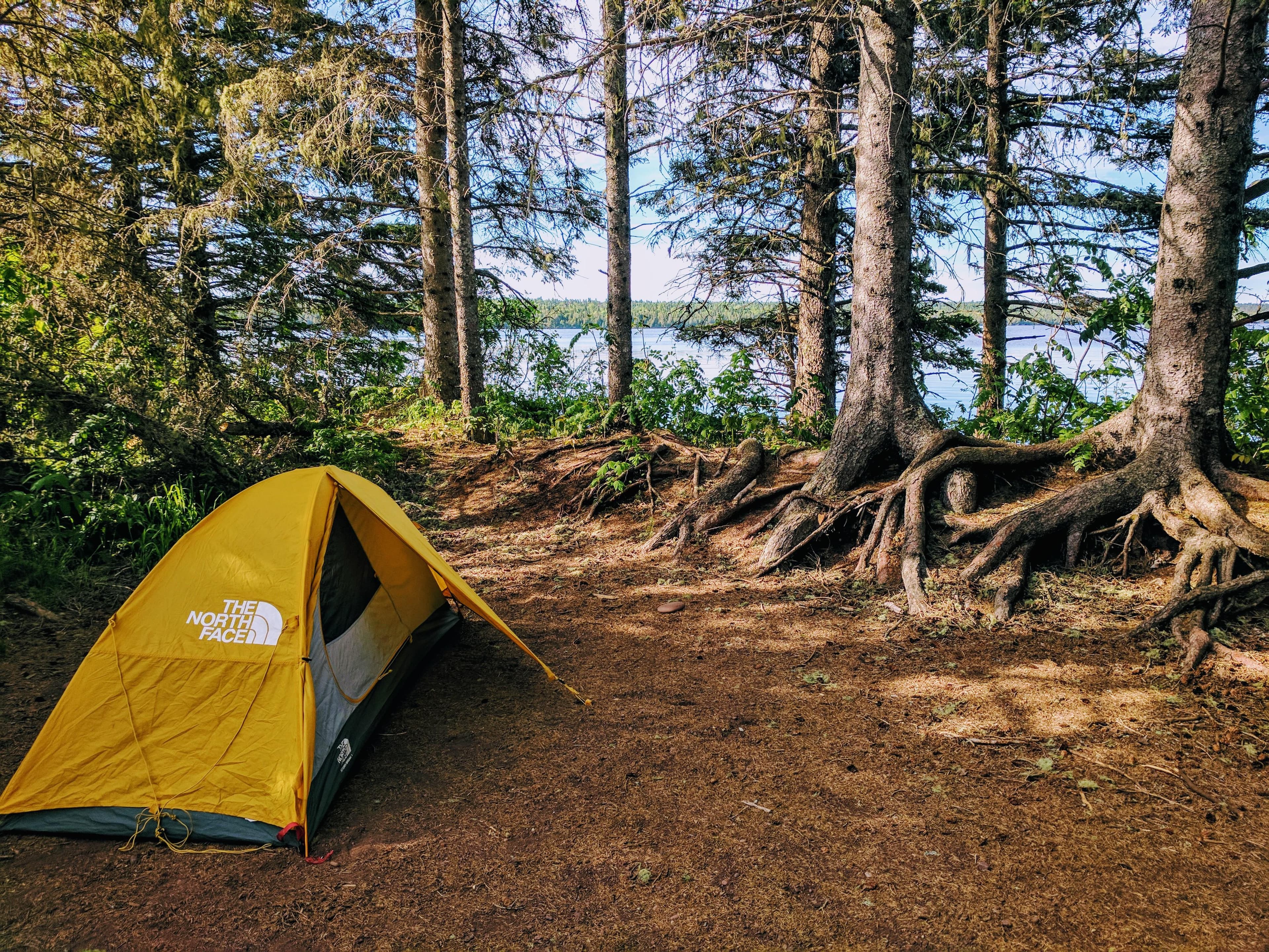
Feldtmann Lake Campground
Feldtmann Lake Campground is located on the shoreline of Feldtmann Lake, off the Feldtmann Lake and Feldtmann Ridge Trails, on the southwest end of Isle Royale National Park. This is an inland campground. Stay Limit: 2 nights from June 1 – Labor Day annually. Access: Foot

Grace Island Campground
Grace Island Campground is located on Grace Island, outside of Washington Harbor, on the southwest end of Isle Royale National Park. Boats can dock overnight. Stay Limit: 3 nights from June 1 – Labor Day annually. Shelters: 2 Depth at dock (normal conditions): 2’ - 4’ Access: Canoe/kayak/private boat
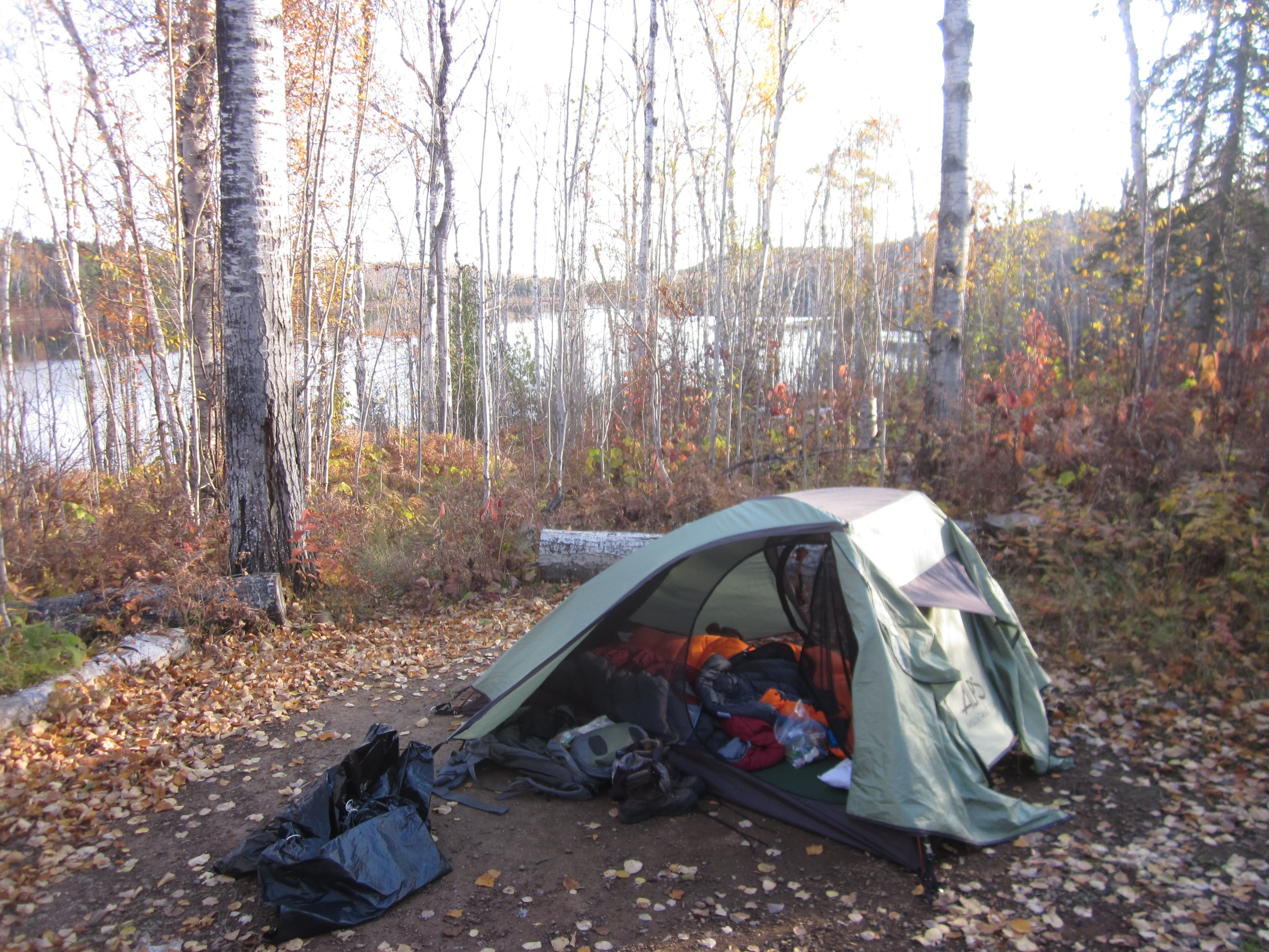
Hatchet Lake Campground
Hatchet Lake Campground is located on Hatchet Lake off of the Hatchet Lake Trail. This campground is located near the center of the island. Stay Limit: 2 nights from June 1 – Labor Day annually. Access: Foot
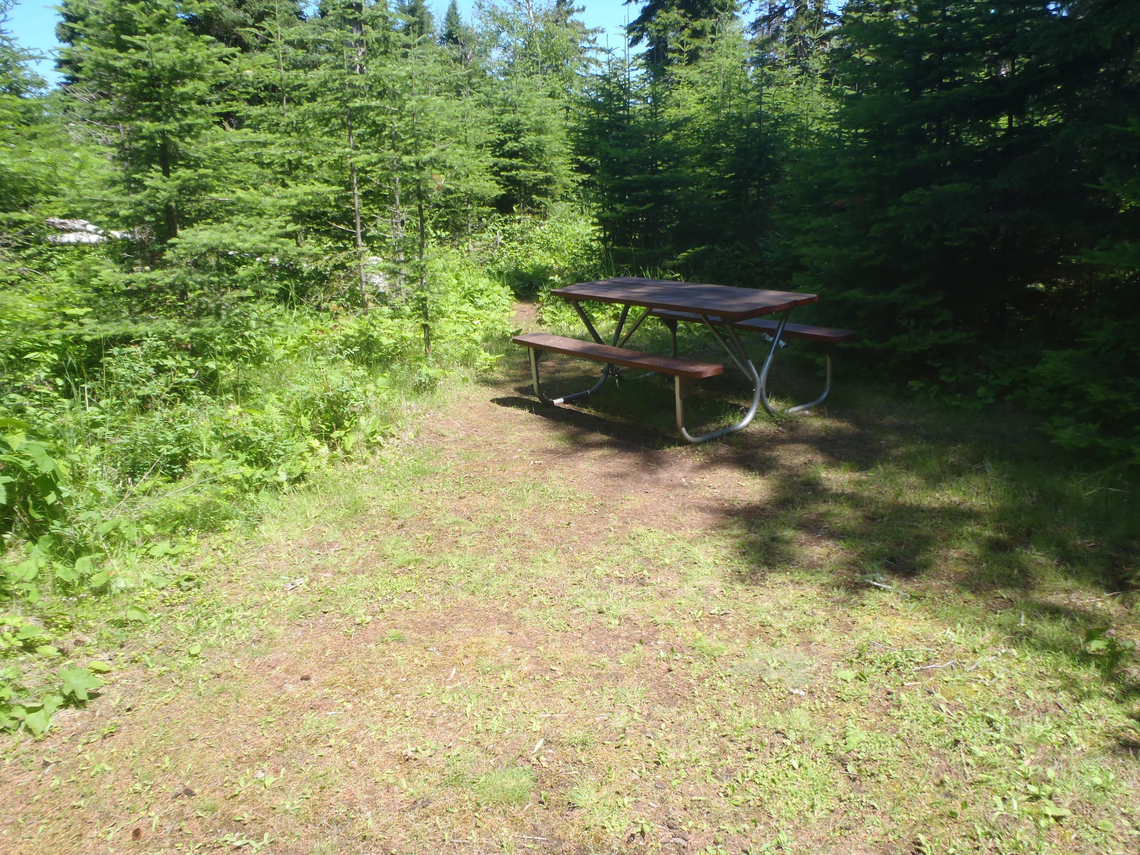
Hay Bay Campground
Hay Bay Campground is located in Hay Bay on the south shore of Isle Royale National Park. Boats can overnight at dock. Stay Limit: 3 nights from June 1 – Labor Day annually. Depth at dock (normal conditions): 3’-7’. Access: Canoe/kayak/private boat
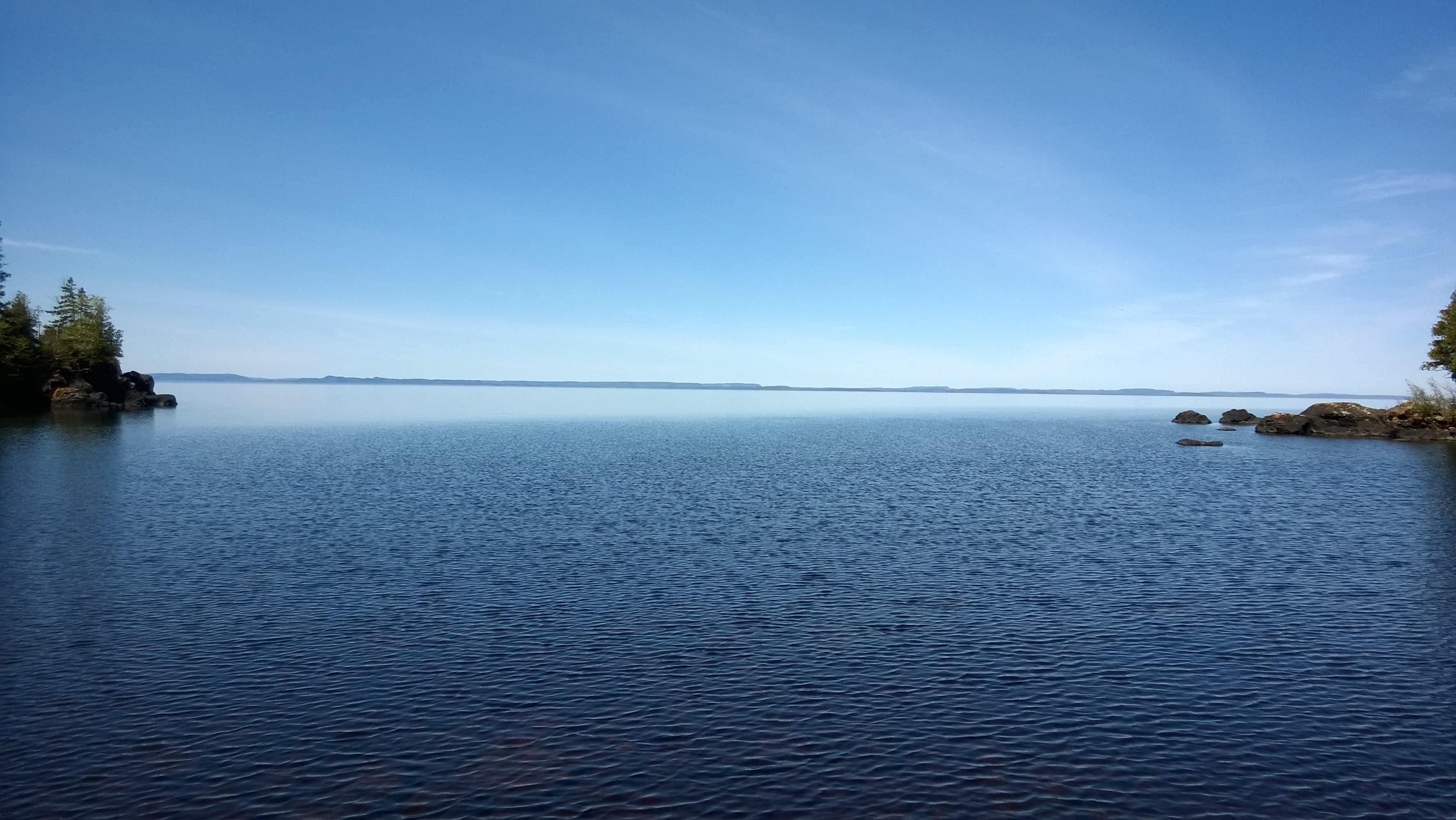
Huginnin Cove Campground
Huginnin Cove Campground is located at Huginnin Cove, on the north shore of Isle Royale National Park, off of the West and East Huginnin Cove Trails. Stay Limit: 3 consecutive nights from June 1 – Labor Day annually. Access: Foot/canoe/kayak access. No dock available for boats.
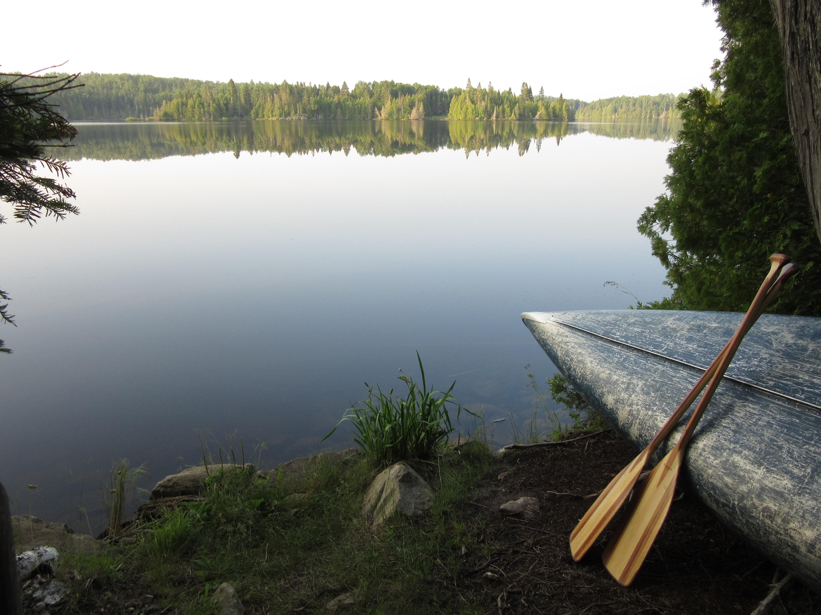
Intermediate Lake Campground
Intermediate Lake Campground is located on the shoreline of Intermediate Lake. Intermediate Lake can be accessed via a .6 mile portage from Lake Richie or a .4 mile portage from Siskiwit Lake. Stay Limit: 2 nights effective June 1 – Labor Day annually. Access: Canoe/kayak, no private boat access.
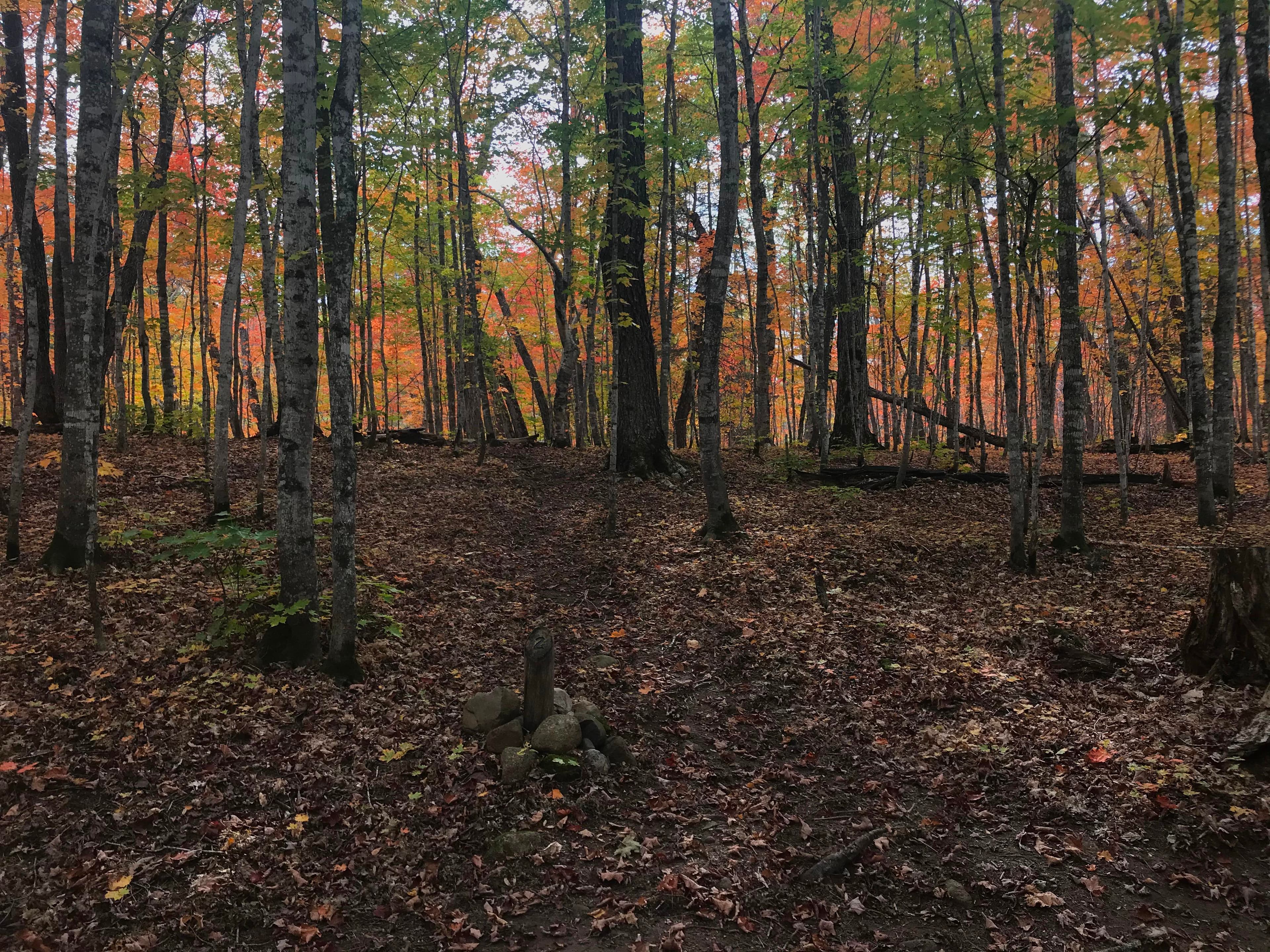
Island Mine Campground
Island Mine Campground is located .5 miles south from the junction of the Greenstone and Island Mine Trails, on the Island Mine Trail. This inland campground offers no canoe/kayak/boat access. Little Siskiwit River runs south of the campground, where water can usually be obtained for filtering, unless it is dried up. Check with a Visitor Center for current water status. Stay Limit: 3 nights effective June 1 – Labor Day annually. Access: Foot
Lake Richie Campground
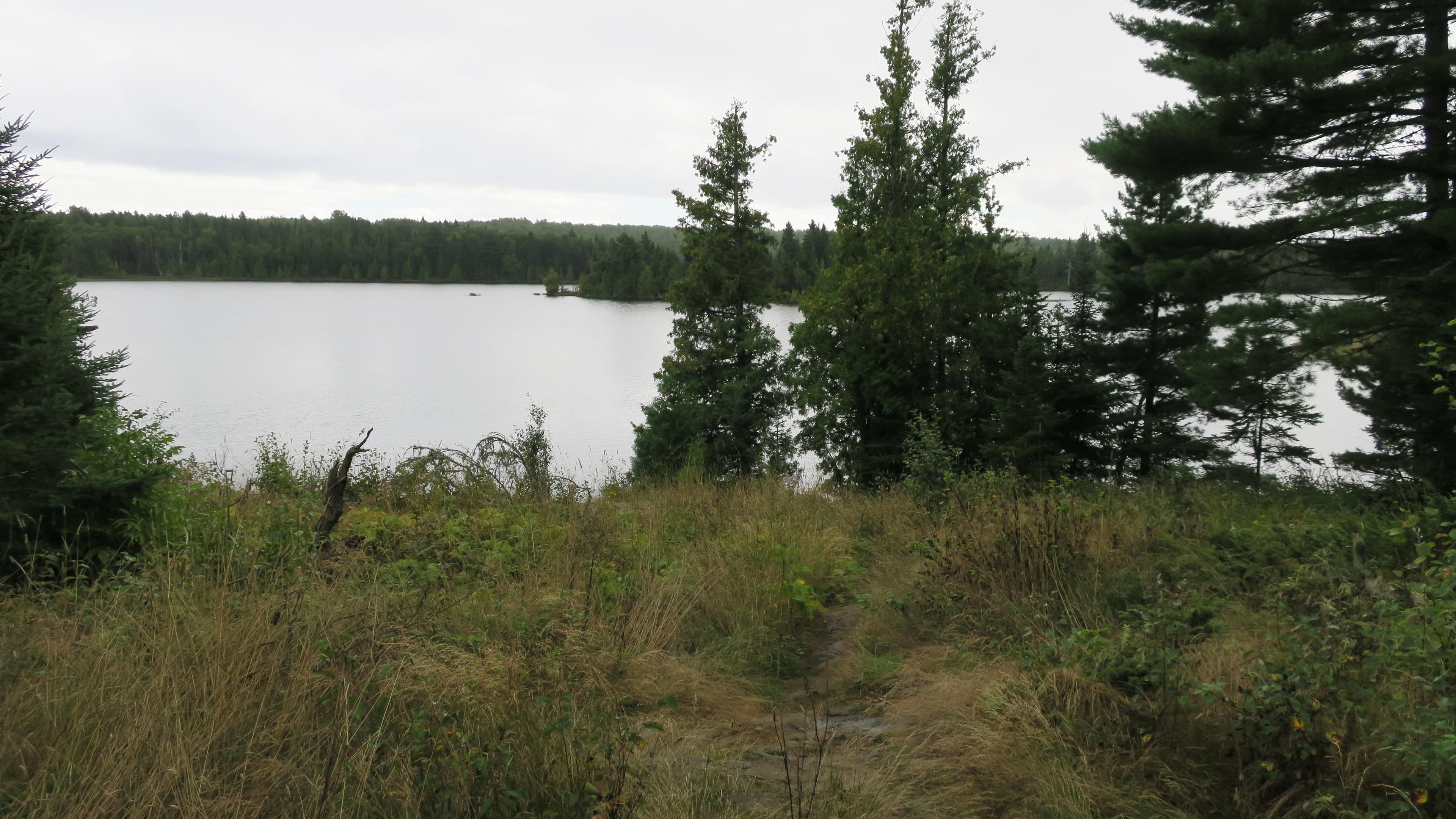
Lake Richie Campground is located on the north shore of Lake Richie, off of the Indian Portage Trail. Canoe/kayak access from .6 mile portage from Intermediate Lake, 2.0 mile portage from Moskey Basin, 1.2 miles portage from Chippewa Harbor, and .6 mile portage from Lake LeSage. Paddlers may want to consider staying at Lake Richie Canoe Campground. Stay Limit: 2 nights from June 1 – Labor Day annually. Access: Foot/canoe/kayak. No private boat access.
Getting Here & Transit
How to Get Here
Isle Royale National Park headquarters is located in Houghton, MI. Visit the Houghton page on the Isle Royale National Park website for additional information and a map on how to access the visitor center.
Park Amenities
Permits & Reservations
Permits may be required
Some activities in Isle Royale National Park — including backcountry camping, certain trails, and climbing routes — require advance permits. Check the official NPS website for current requirements before your visit.
Entrance Fees & Passes
Standard Fees
Entrance - Per Person
$7.00$7 per person per day to enter or remain in Isle Royale National Park. Children 15 and younger are exempt. Visiting Park Headquarters in Houghton, MI does not require a fee.
Annual & Lifetime Passes
Annual Entrance - Park
$60.00Isle Royale Season Pass: $60 valid from April 16 through October 31 of the year indicated. Pass covers fees for the pass holder and up to three adults traveling with the pass holder (four total).
Operating Hours
Isle Royale National Park Open Season (April 16 through October 31)
Isle Royale National Park is open annually from April 16 to October 31. Transportation services are offered from May to September. The island and its surrounding islands are closed to all visitors from November 1 to April 15 due to extreme winter weather conditions and for the safety and protection of visitors. This closure extends 4.5 miles out into Lake Superior from the island. Park headquarters during the winter is in Houghton, Michigan. Summer headquarters is located at Mott Island on Isle Royale.
- MondayAll Day
- TuesdayAll Day
- WednesdayAll Day
- ThursdayAll Day
- FridayAll Day
- SaturdayAll Day
- SundayAll Day
Live Webcams
Click any camera to open the live feed on the NPS website.
Windigo Webcam
Perched atop the Windigo Visitor Center, the Windigo Webcam offers a sweeping view of Washington Harbor. You might find a moose swimming or foraging through these sheltered Lake Superior waters, or catch a colorful sunset in all its brilliance on a late summer night. The webcam is active only during the summer months when power is available to it (typically from the beginning of May until late September).
Mott Island Southwest Webcam
Mott Island, Isle Royale National Park's summer headquarters, is the nucleus of operations on the island. It is a barrier island located on the south side of Rock Harbor Channel. The webcam is active on real-time intervals during the summer months when power is available to it, and communicating multiple times per day during the winter when solar power allows.
Middle Islands Passage Webcam
From one of the highest Isle Royale peaks at 1,133 feet above sea level (roughly 530 feet above Lake Superior), the Middle Islands Passage Webcam, located at the peak of Mount Ojibway, captures a southeastern vantage point. The angle offers views of Lake Superior, Caribou Island at left, Middle Islands at center, and the entrance to Moskey Basin, home of Rock Harbor Lighthouse, at right. Middle Islands Passage is the access point for large vessels sailing in and out of Rock Harbor Channel. The webcam is solar powered and communicates multiple times per day, year-round, when power and communications infrastructure allows.
Greenstone Ridge Northeast Webcam
From one of the highest Isle Royale peaks at 1,133 feet above sea level (roughly 530 feet above Lake Superior), the Greenstone Ridge Northeast Webcam, located at the peak of Mount Ojibway, captures a northeastern vantage point. The angle gazes across the spine of the Greenstone Ridge from Ojibway Tower to Passage Island Lighthouse. The webcam is solar powered and communicates multiple times per day, year-round, when power and communications infrastructure allows.
North Shore Webcam
From one of the highest Isle Royale peaks at 1,133 feet above sea level (roughly 530 feet above Lake Superior), the North Shore Webcam, located at the peak of Mount Ojibway, captures a northern vantage point. The angle offers views of Lake Superior, Canada's Pie Island on the left, and Canada's Sleeping Giant Provincial Park at center. The webcam is solar powered and communicates multiple times per day, year-round, when power and communications infrastructure allows.
Tobin Harbor Webcam
Tobin Harbor is located on the northeast end of Isle Royale, near Rock Harbor. In the early 20th century, it was a popular summer haven for vacationers. Visitors today enjoy the peaceful paddling and boating opportunities it offers. The webcam is active only during the summer months when power is available to it (typically from the beginning of May until late September).
Rock Harbor Webcam
Overlooking the Visitor Center and RANGER III dock at Snug Harbor, this camera view provides a vantage point to view the various small islands scattered about the Rock Harbor channel. On a clear day, the water tower at Mott Island is visible and the heights of Mount Saginaw tower in the background. The webcam is active only during the summer months when power is available to it (typically from the beginning of May until late September).
Greenstone Ridge Southwest Webcam
From one of the highest Isle Royale peaks at 1,133 feet above sea level (roughly 530 feet above Lake Superior), the Greenstone Ridge Southwest Webcam at the peak of Mount Ojibway gazes across the spine of the Greenstone Ridge from the Ojibway Tower. It captures a southwest vantage point, a swath from Moskey Basin on the left to Sargent Lake on the right. The webcam is solar powered and communicates multiple times per day, year-round, when power and communications infrastructure allows.
Photos
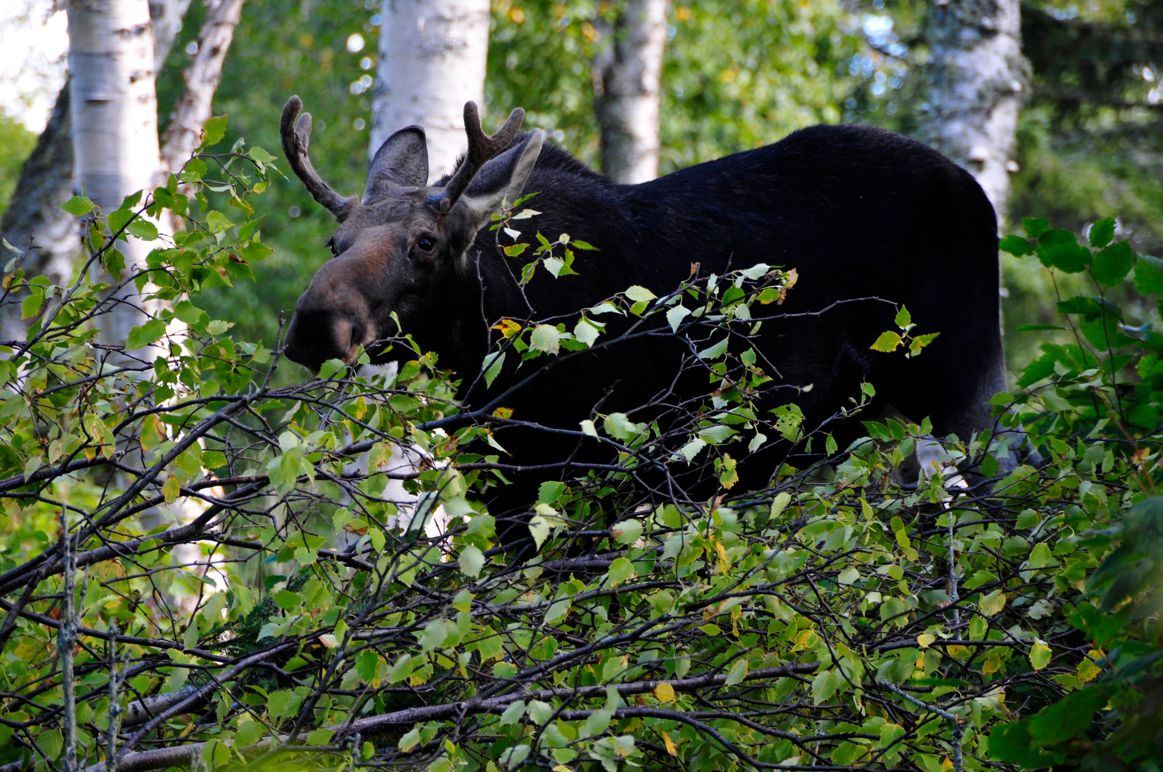
Young bull moose browsing for food
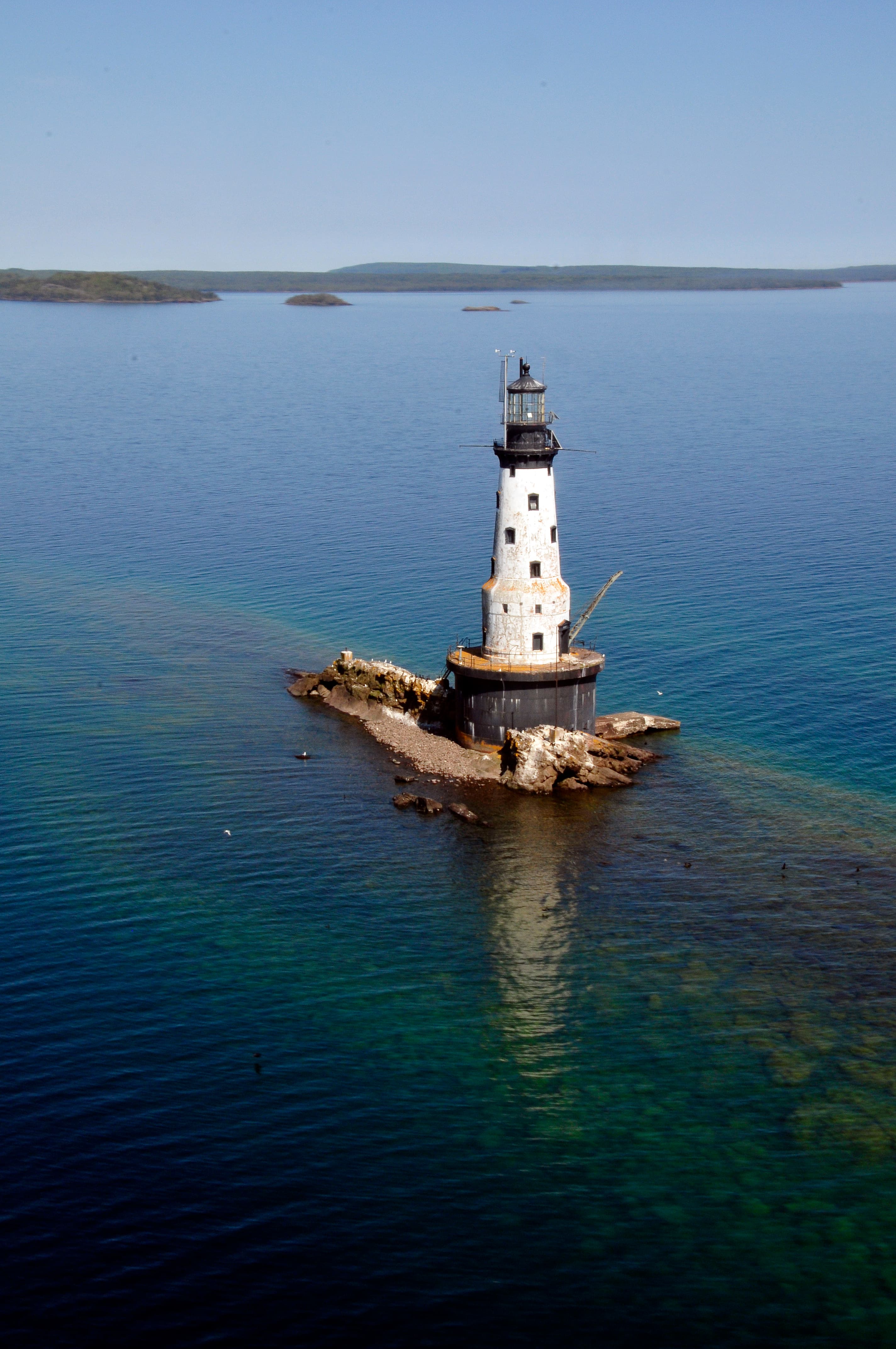
Aerial view of Rock of Ages Lighthouse
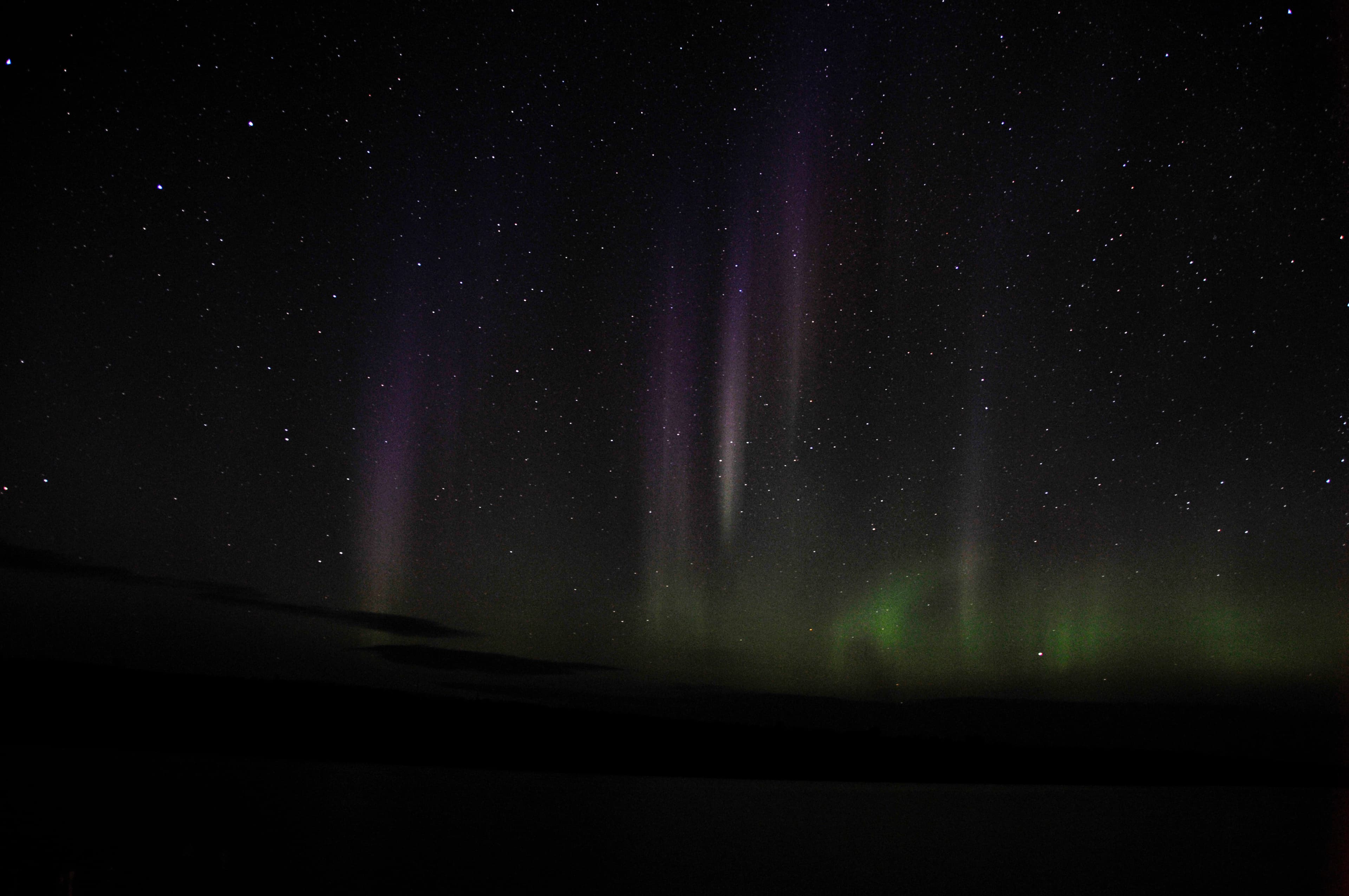
Diverse colored Aurora Borealis in the night sky
When to Go
Crowd CalendarPlan your trip around peak seasons to avoid crowds or embrace the energy of the busy months. Our crowd predictions are based on historical NPS Visitor Use Statistics.
Jan
Feb
Mar
Apr
May
Jun
Jul
Aug
Sep
Oct
Nov
Dec
Build your Isle Royale itinerary
Tell Miza your dates, pace, and interests—get a day-by-day plan with hikes, drives, and must-see stops.
Best Time
Year-round
Trip Length
2-4 days
Searching for the best hotel deals near Isle Royale National Park...
Planning Isle Royale
These common questions go deeper into logistics and planning. For real-time updates on road closures and current conditions, always check the Alerts section above.