
Entrance Fee
$10.00
/ Entrance - Per Person
Park Hours (Today)
All Day
Pine Springs Visitor Center: 8:00AM - 4:00PM
Miza AI
Plan your Guadalupe Mountains trip
About the Park
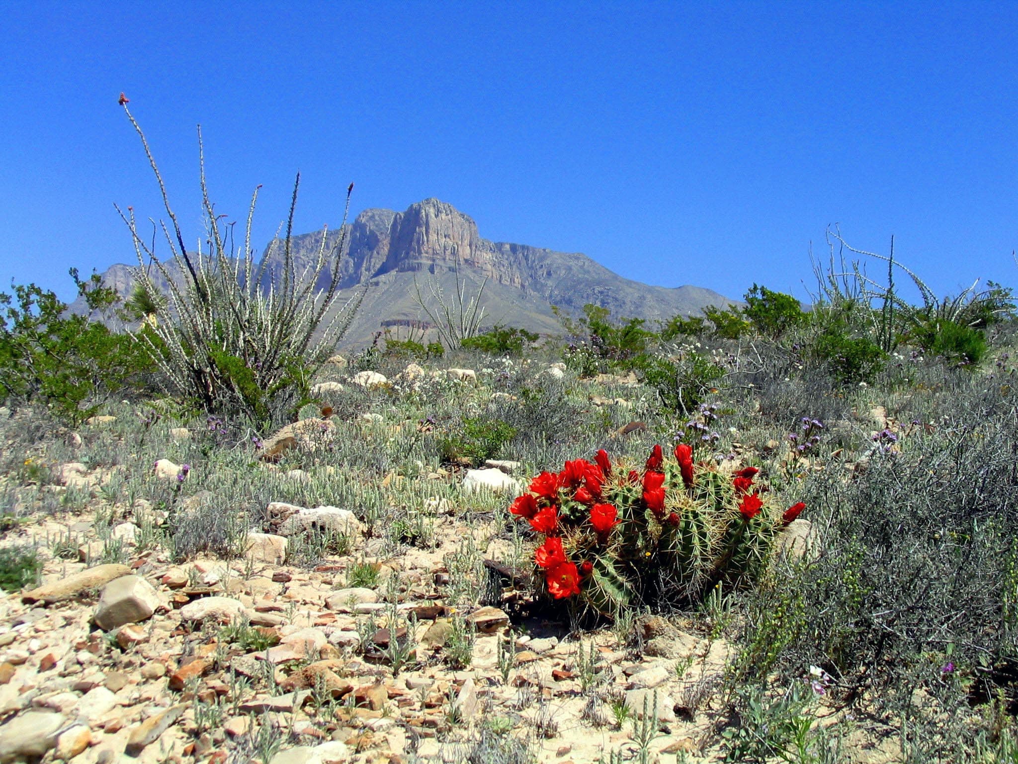
Come experience mountains and canyons, desert and dunes, night skies and spectacular vistas within a place unlike any other. Guadalupe Mountains National Park protects the world's most extensive Permian fossil reef, the four highest peaks in Texas, an environmentally diverse collection of flora and fauna, and the stories of lives shaped through conflict, cooperation and survival.

Ready to explore Guadalupe Mountains National Park?
Take the stress out of planning. Our AI will automatically sequence your stops, find the best hotels, and optimize your driving time in seconds.
What to See & Do
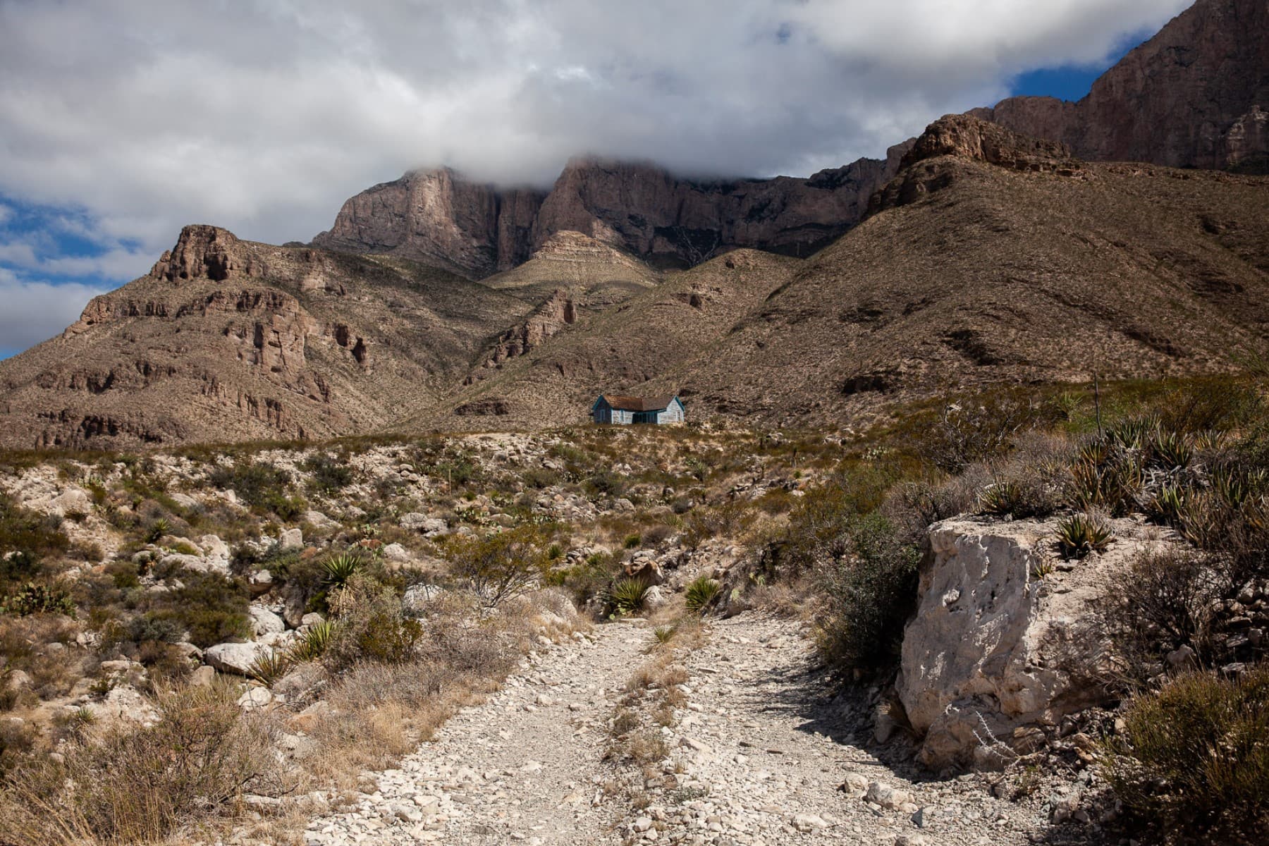
Drive to Williams Ranch
If you have a high-clearance, four wheel drive vehicle, the primitive dirt road to Williams Ranch provides a unique opportunity to get off the beaten path and get close to the remote and imposing western escarpment of the Guadalupe Mountains.
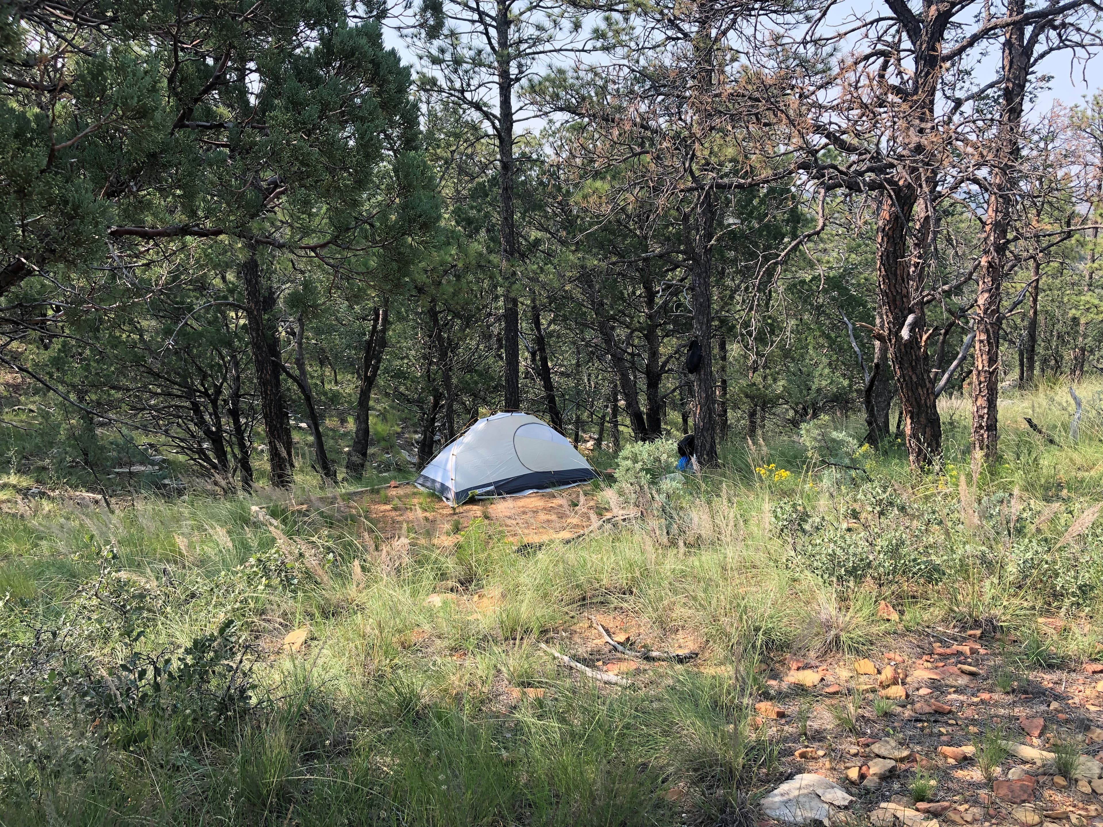
Overnight on Wilderness Ridge
The lesser used Permian Reef Trail leads to sheltered campsites and spectacular views into McKittrick Canyon, making a great destination of a one night, two day backpacking trip into the Wilderness.
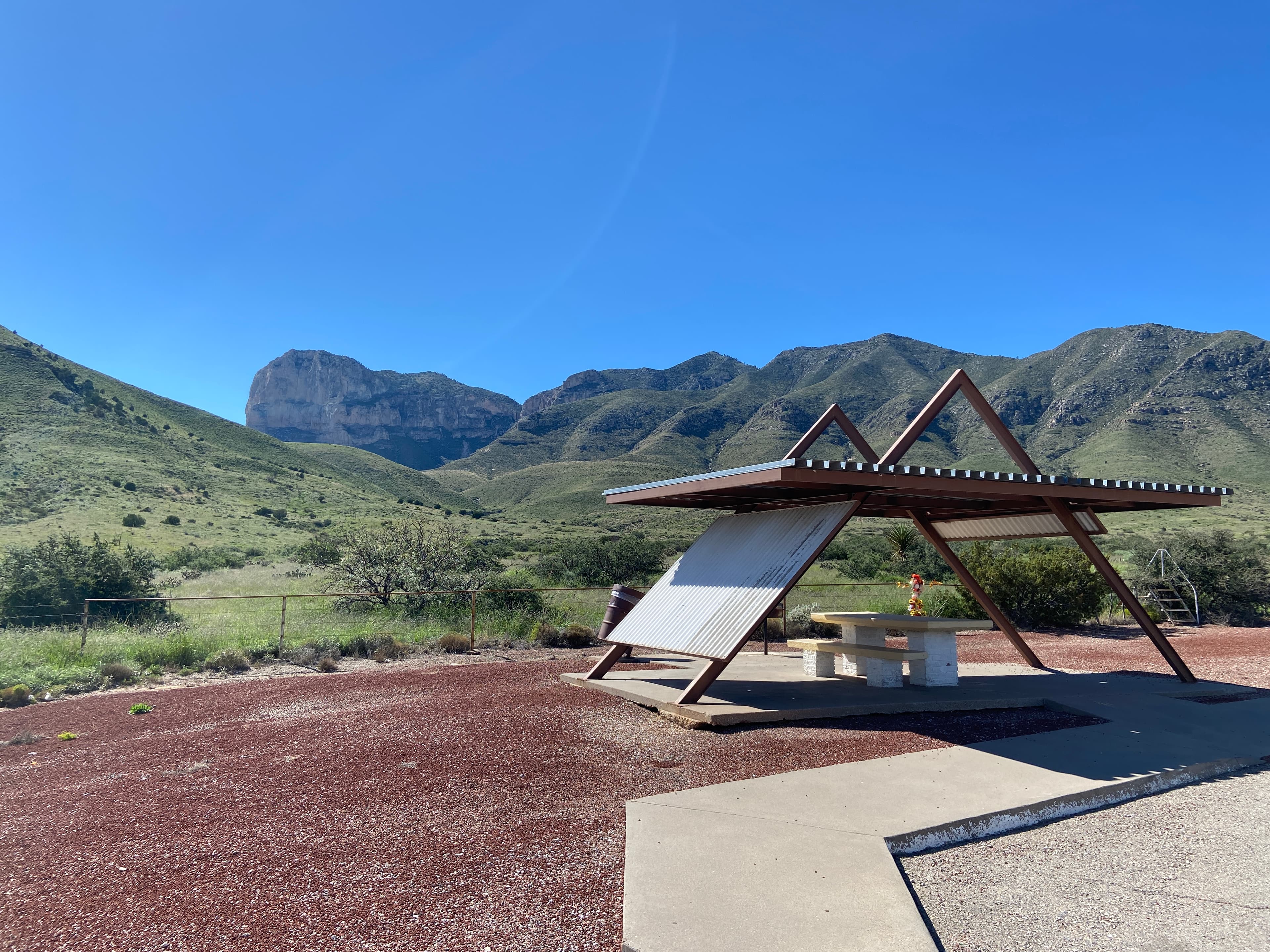
Guadalupe Peak Viewpoint
This viewpoint, located just to the southeast of the park boundary alongside U.S. Highway 62/180 provides an excellent view to the summit of Guadalupe Peak.
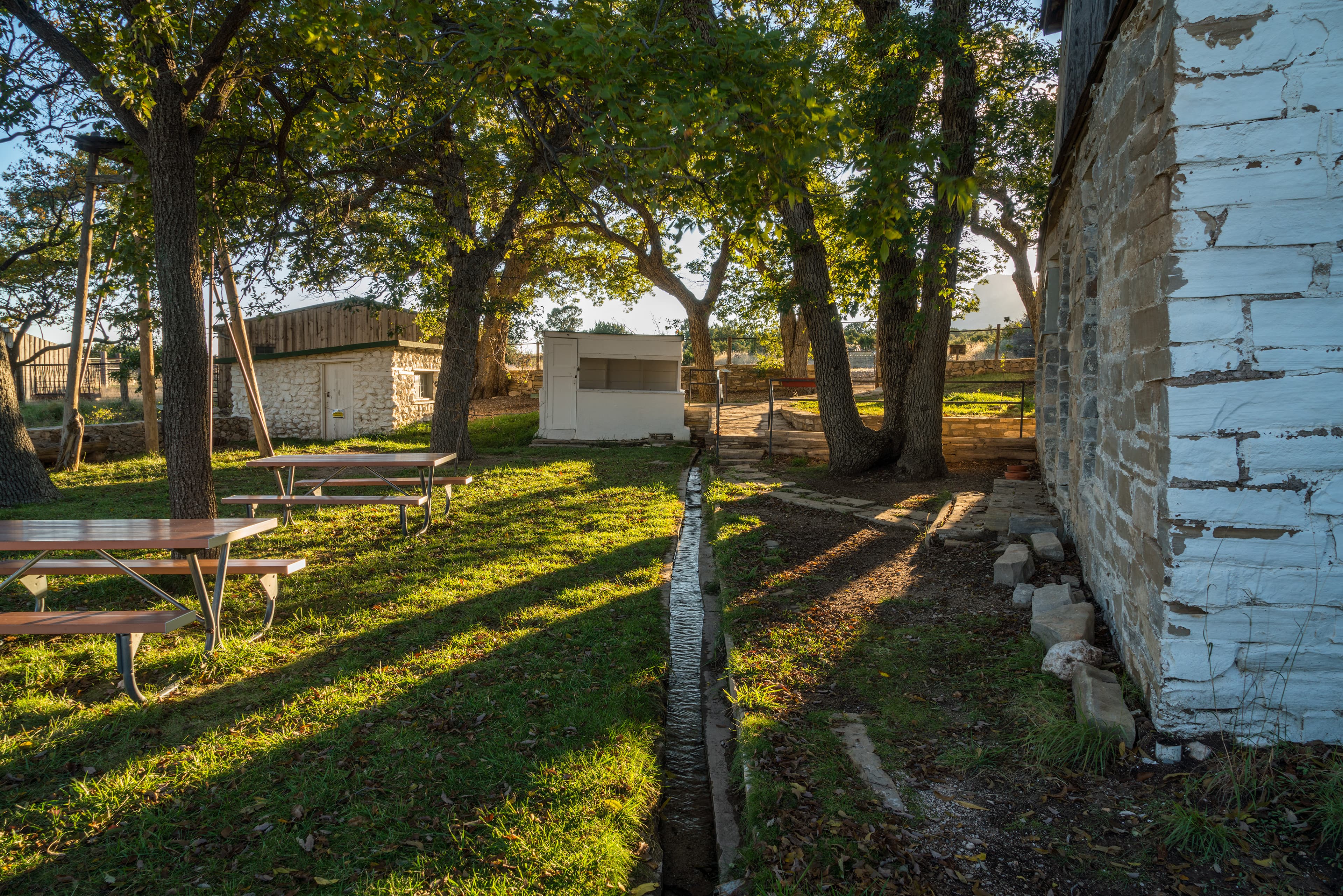
Visit the historic Frijole Ranch
Frijole Ranch is a delightful oasis on the edge of the dry, lower slopes of the Guadalupe escarpment which truly captures the rugged sprit of the American West. Today the Frijole Ranch History Museum occupies the old ranch headquarters and displays the human history of the Guadalupes. The grounds are open from dusk to dawn, with picnic tables at the parking area and under the large shade trees in the courtyard. Bring your binoculars; this is an excellent location for birding!
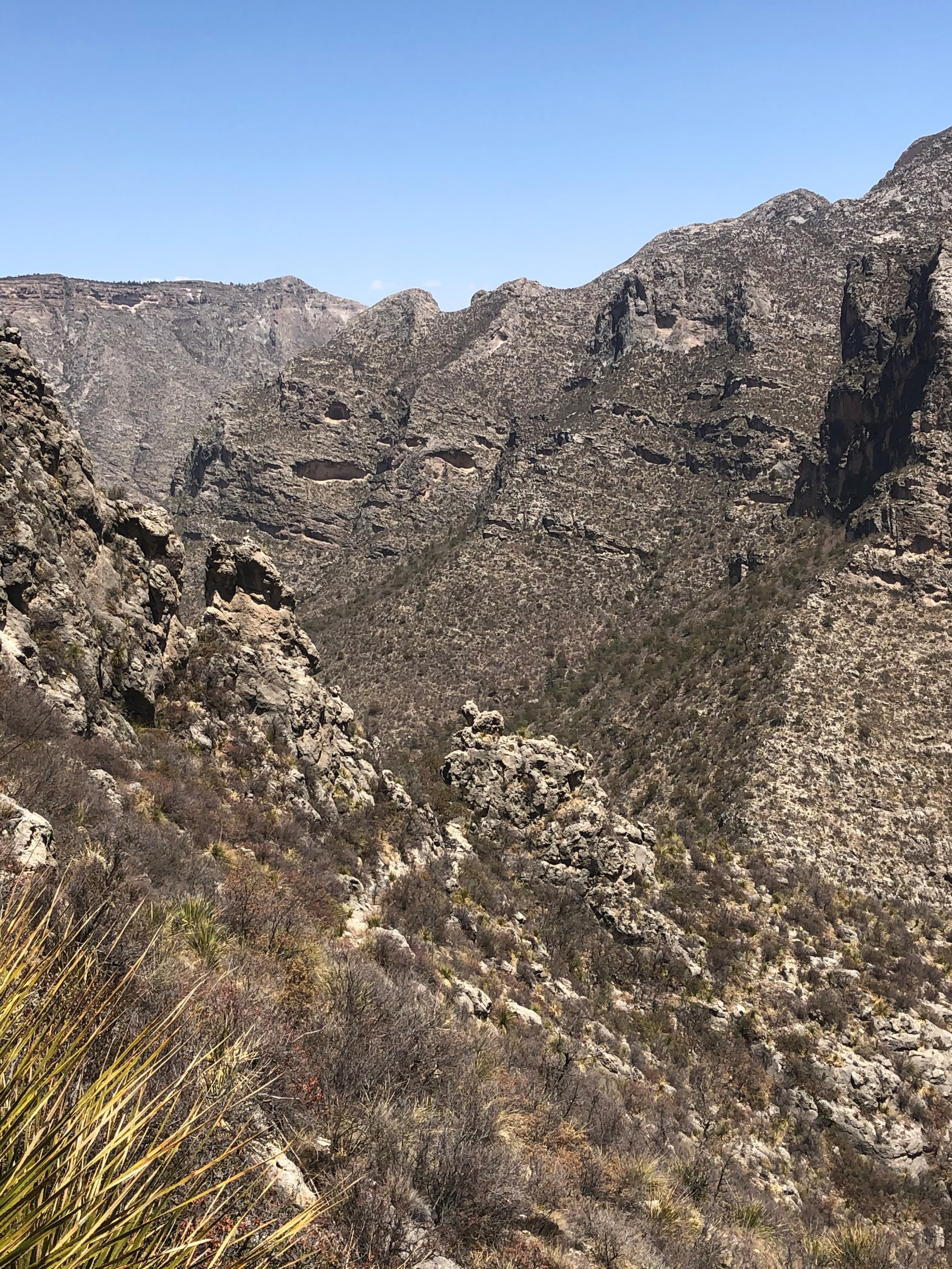
The Notch
The hike to "the Notch" is a challenging day hike that proceeds through McKittrick Canyon to a dramatic viewpoint about half way up toward McKittrick Ridge.
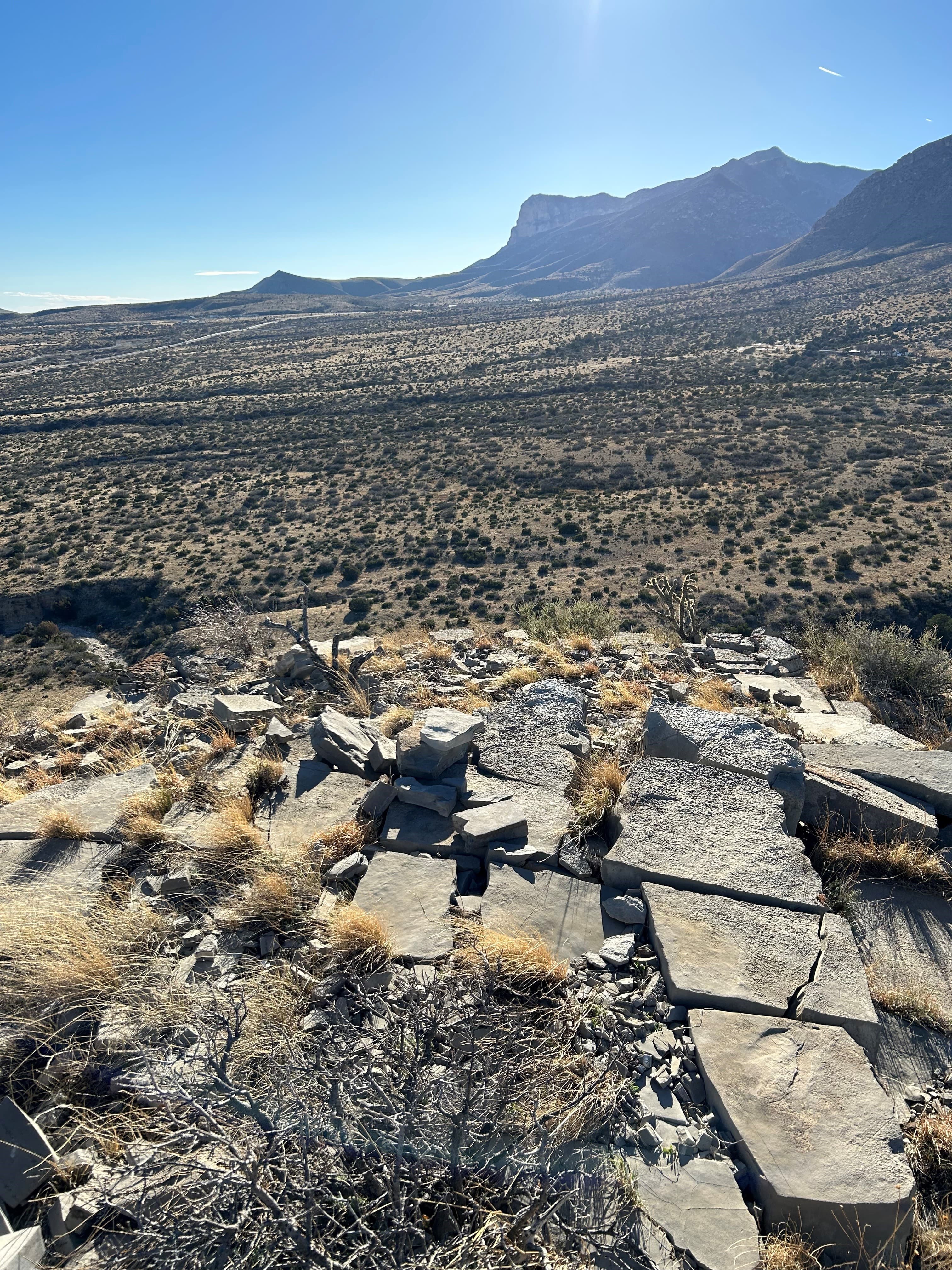
Hiking off-trail
A new kind of experience in the Guadalupe Mountains starts where the maintained trail ends. However, off-trail hiking requires planning and preparation and carries a great deal of risk. Any person or persons planning to hike off trail in the park must stop by the Pine Springs Visitor Center and be issued an off-trail hiking permit.
Self-Guided Tours
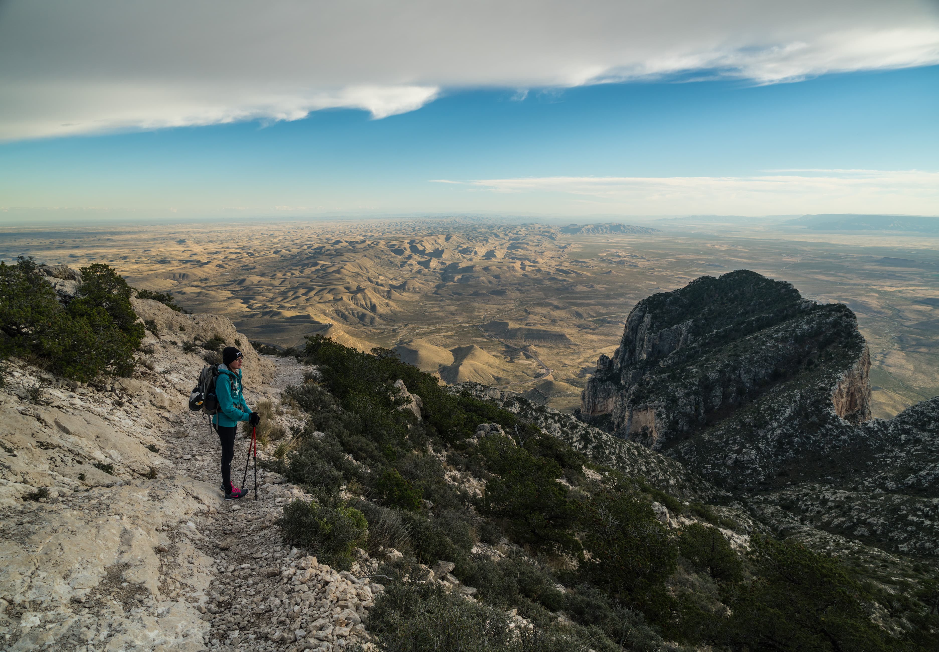
Hiking Guadalupe Peak
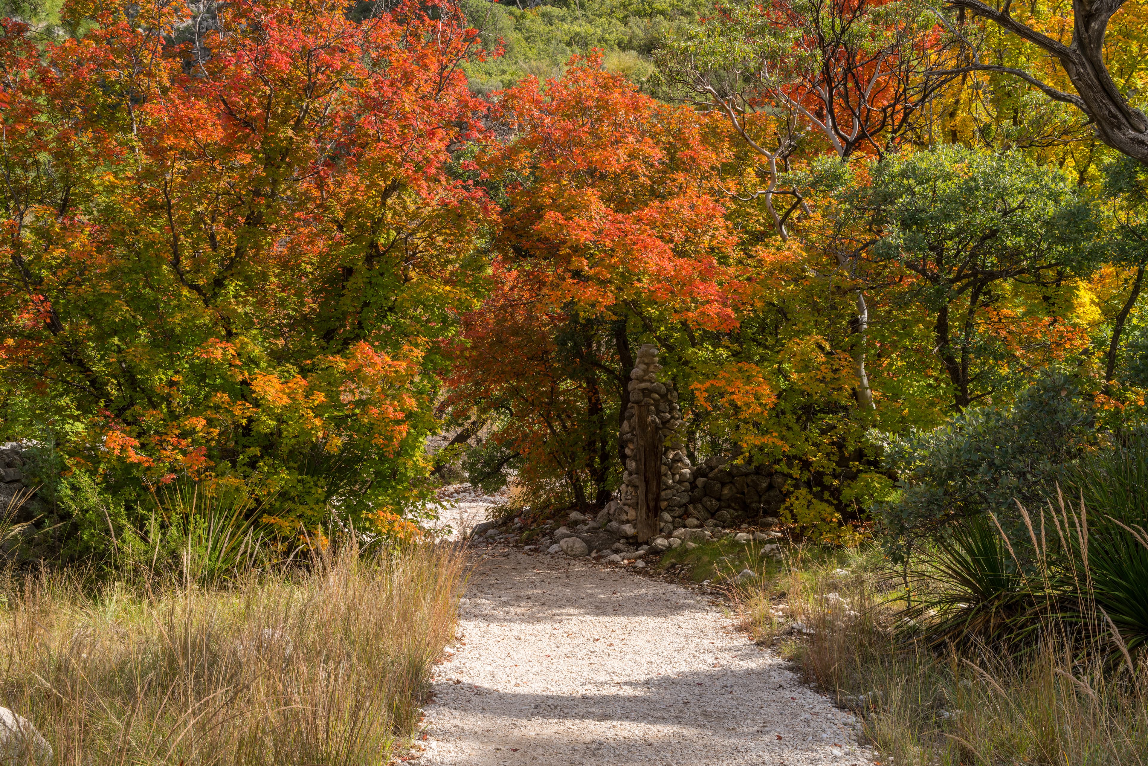
"The Top of Texas" - The hike to the summit of Guadalupe Peak is a very strenuous, 8.4-mile round trip hike with a 3,000-foot elevation gain. It will take most hikers from six to eight hours to complete. The peak provides fantastic views from the highest point in the state of Texas (8,751 feet / 2,667 meters). It also introduces hikers to several of the park’s ecosystems including the high desert and the high elevation forests. On a clear day you will be rewarded with a tremendous and windy view.
Hiking McKittrick Canyon
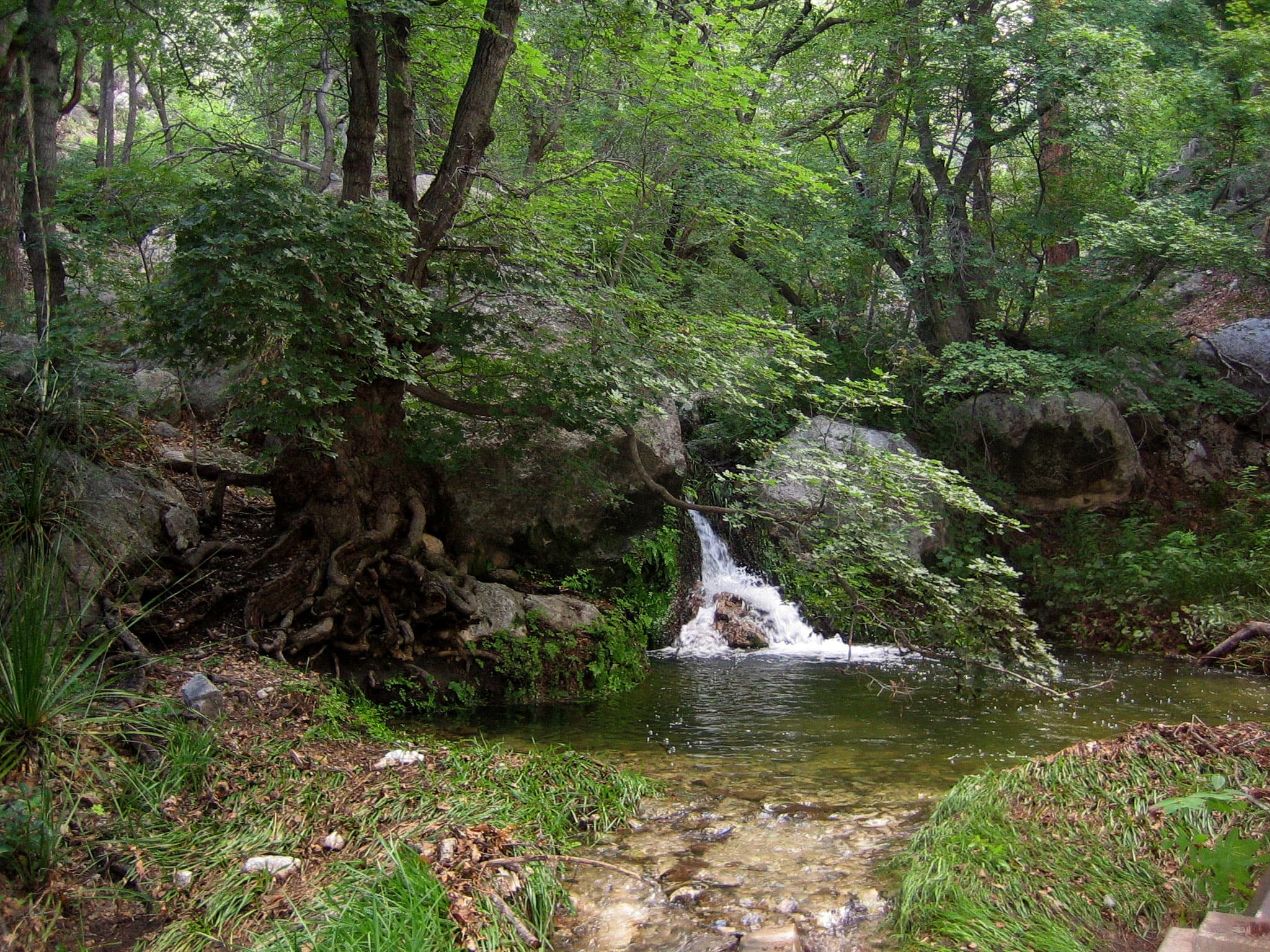
McKittrick Canyon is the centerpiece of the park. From the trailhead to the Grotto is a gentle hike in the canyon bottom. It's a moderate 4.8 miles roundtrip to the Pratt Cabin; 7.0 miles roundtrip to the Grotto. The canyon is a day use area only. Enjoy a surprising variety of plants, animals and dramatic views along this canyon trail. Please stay on the trail and out of the fragile stream.
Smith Spring Trail Loop
The Guadalupe Mountains rise out of the surrounding desert, providing habitat for a variety of unique plants and animals that are not found anywhere in the surrounding arid lands. The riparian woodland surrounding Smith Spring is one of the unique ecosystems found within the Guadalupe Mountains. The hike is a 2.3-mile loop with a 400-foot elevation gain. Allow from one and a half to two hours to complete. Bring plenty of water, a trail map, and comfortable hiking shoes.
Visitor Centers
Pine Springs Visitor Center
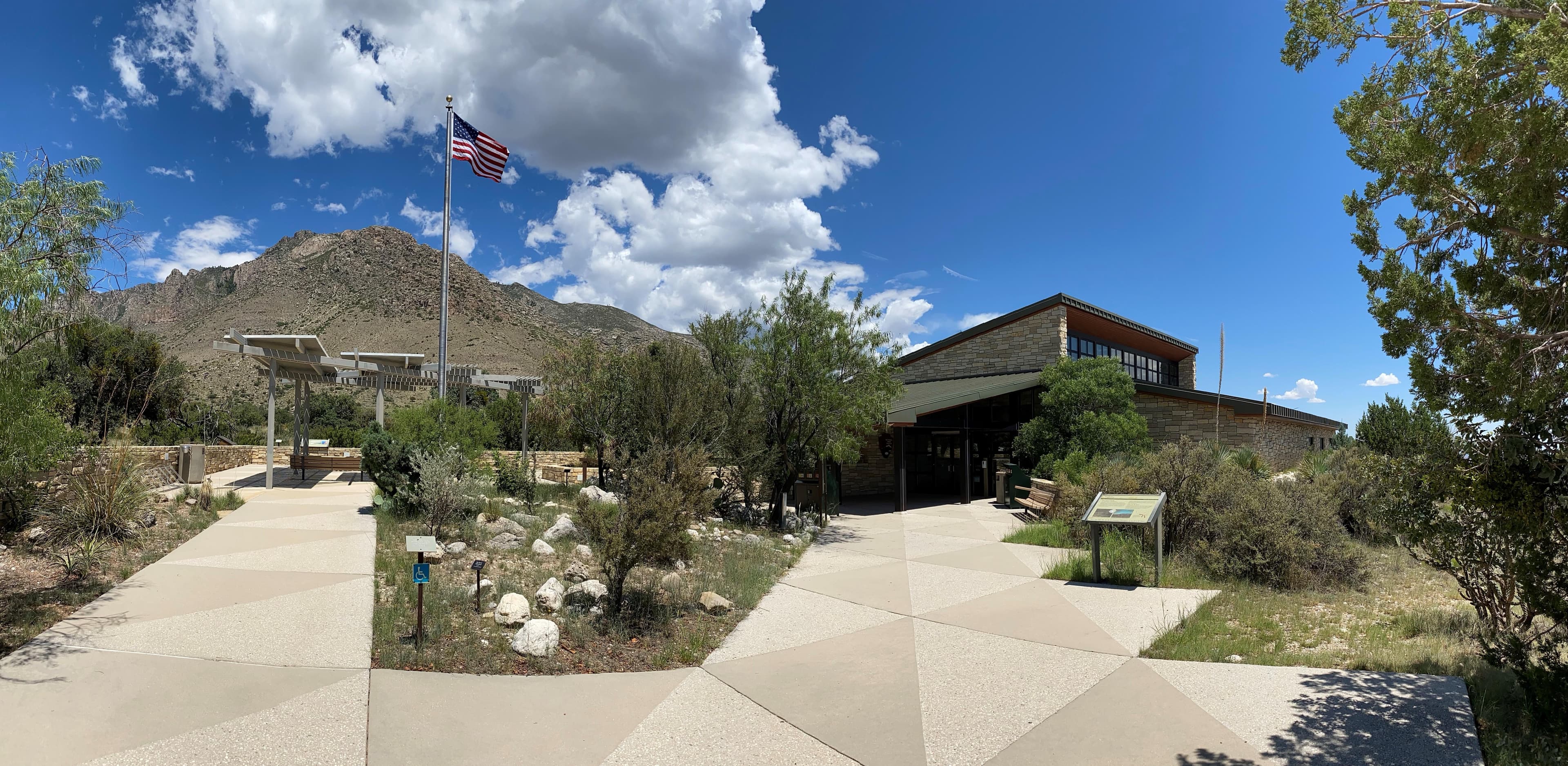
Pine Springs Visitor Center is the park's main visitor center and headquarters. Visitors can pay entrance and camping fees, tour the museum, purchase items from the park store, pick up brochures and maps, and obtain overnight wilderness use permits here.
Dog Canyon Ranger Station
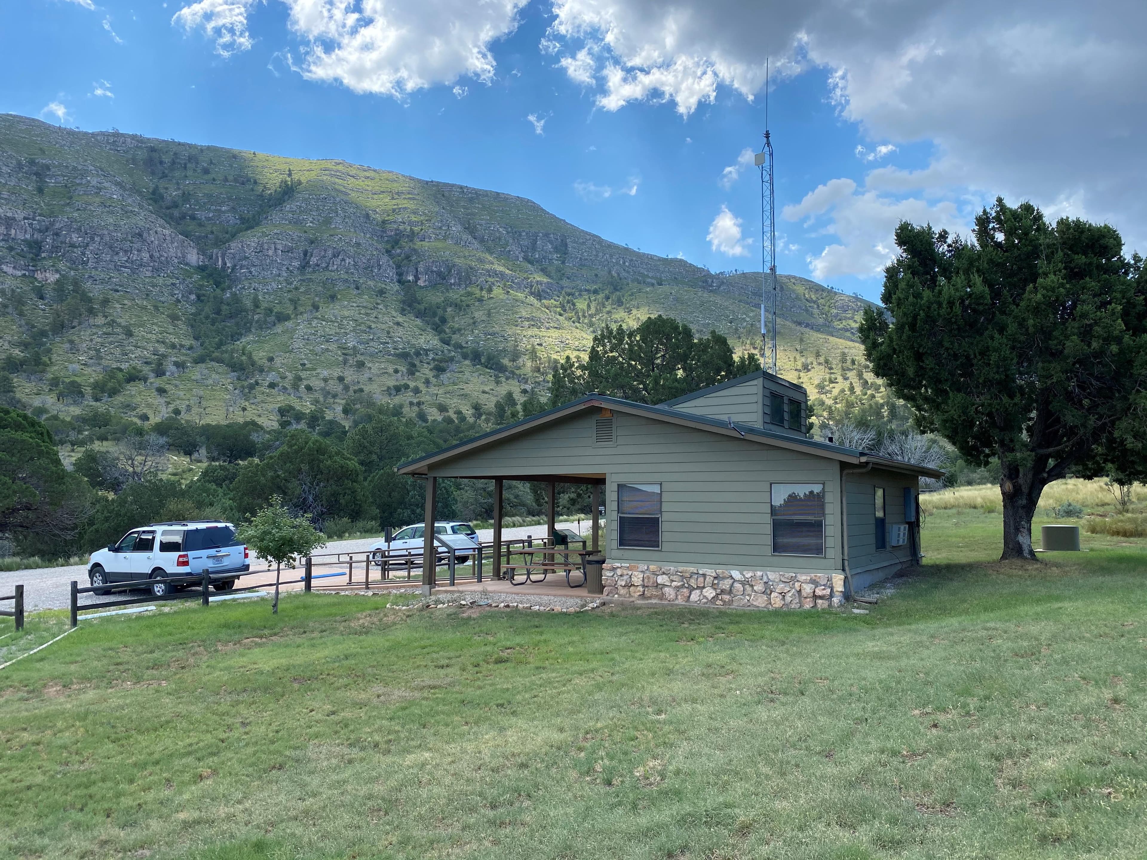
Visitors can pick up brochures and maps from the Dog Canyon Ranger Station when staff or volunteers are available. The Dog Canyon Ranger Station is open intermittently depending on staff availability. If staff and volunteers are present they may be patrolling trails or the campground and not necessarily inside the station.
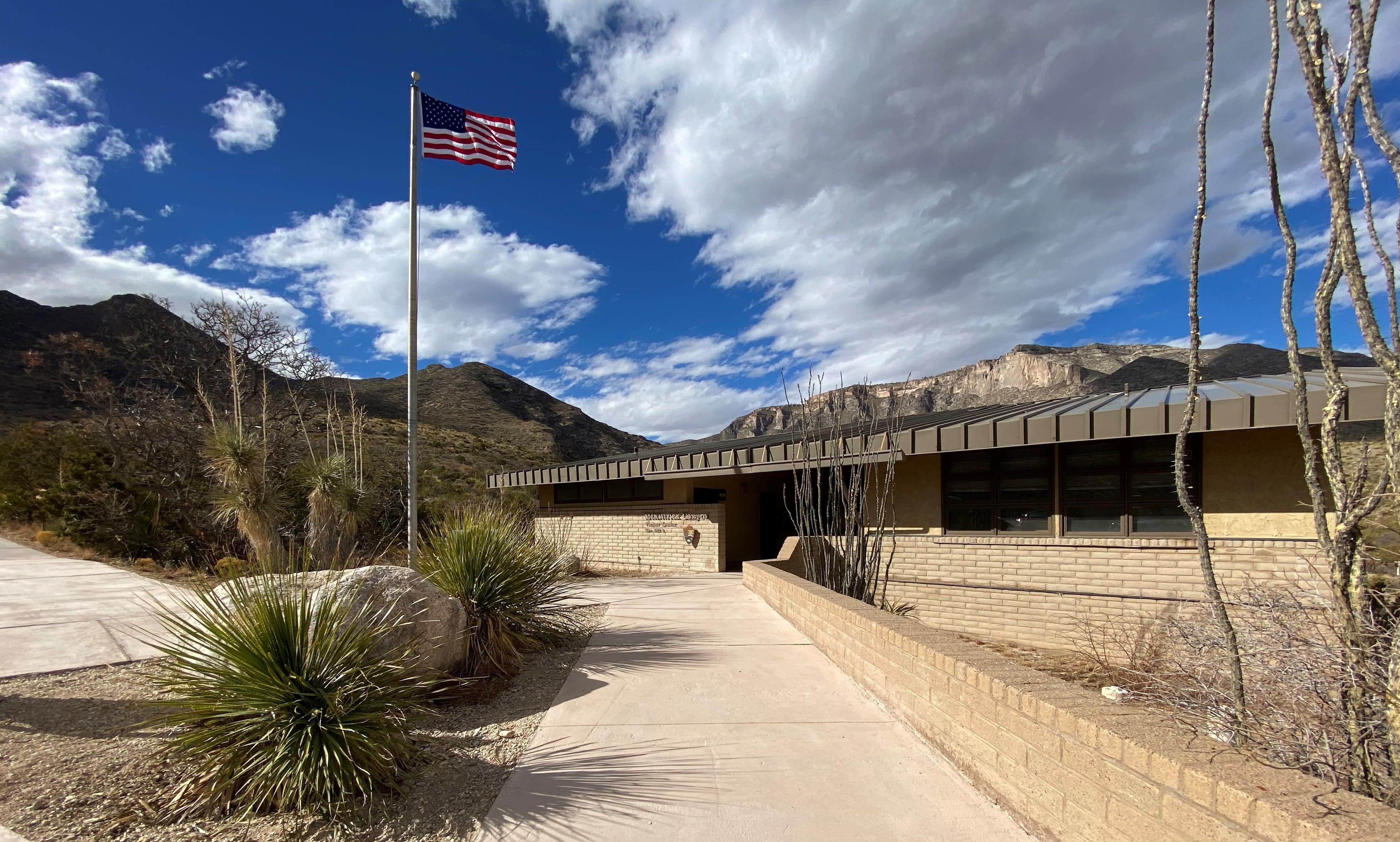
McKittrick Canyon Contact Station
Visit the contact station at the mouth of McKittrick Canyon (staffed during peak seasons in the spring and fall). Pick up a park brochure, and view the outside exhibits and video.
Where to Stay
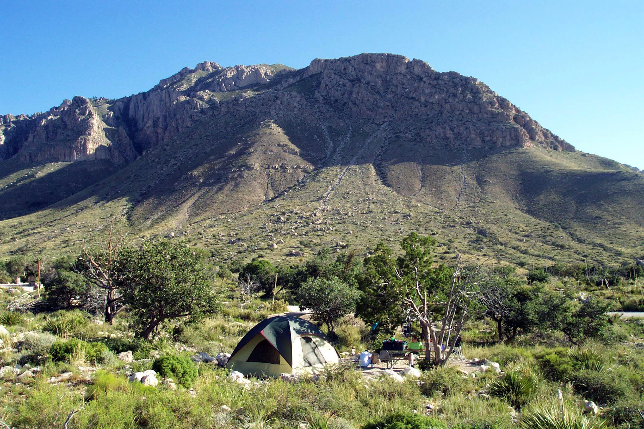
Pine Springs Campground
The Pine Springs Campground has 20 tent and 13 RV sites available. All campsites are reservable through recreation.gov. Individual campsite cost is $20 per night, per site. There are 2 group sites for groups of 10-20 people. Campground amenities include drinking water and toilets (NO hookups, dump stations or showers). Only cooking stoves are permitted; charcoal, wood fires, and propane firepits are prohibited.
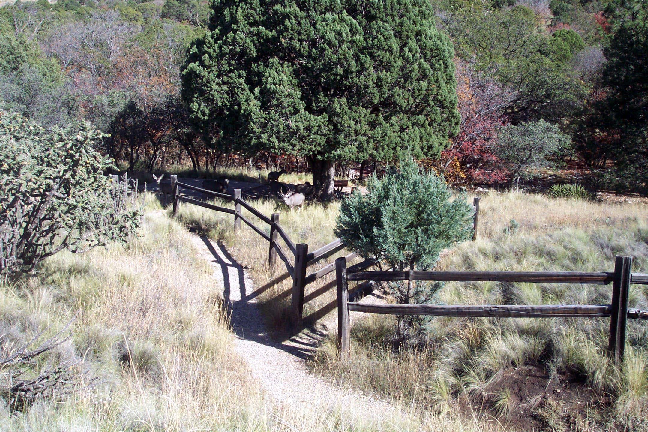
Dog Canyon Campground
Dog Canyon is a two-hour drive from the Pine Springs area. The Dog Canyon Campground sits at 6,300 feet in elevation and has 9 tent and 4 RV sites. There is one group site at Dog Canyon that can be reserved for a group of 10-20 individuals. Campground amenities include drinking water and flush toilets (there are NO hookups, dump stations or showers). Only cooking stoves are permitted; charcoal, wood fires, and propane firepits are not permitted.
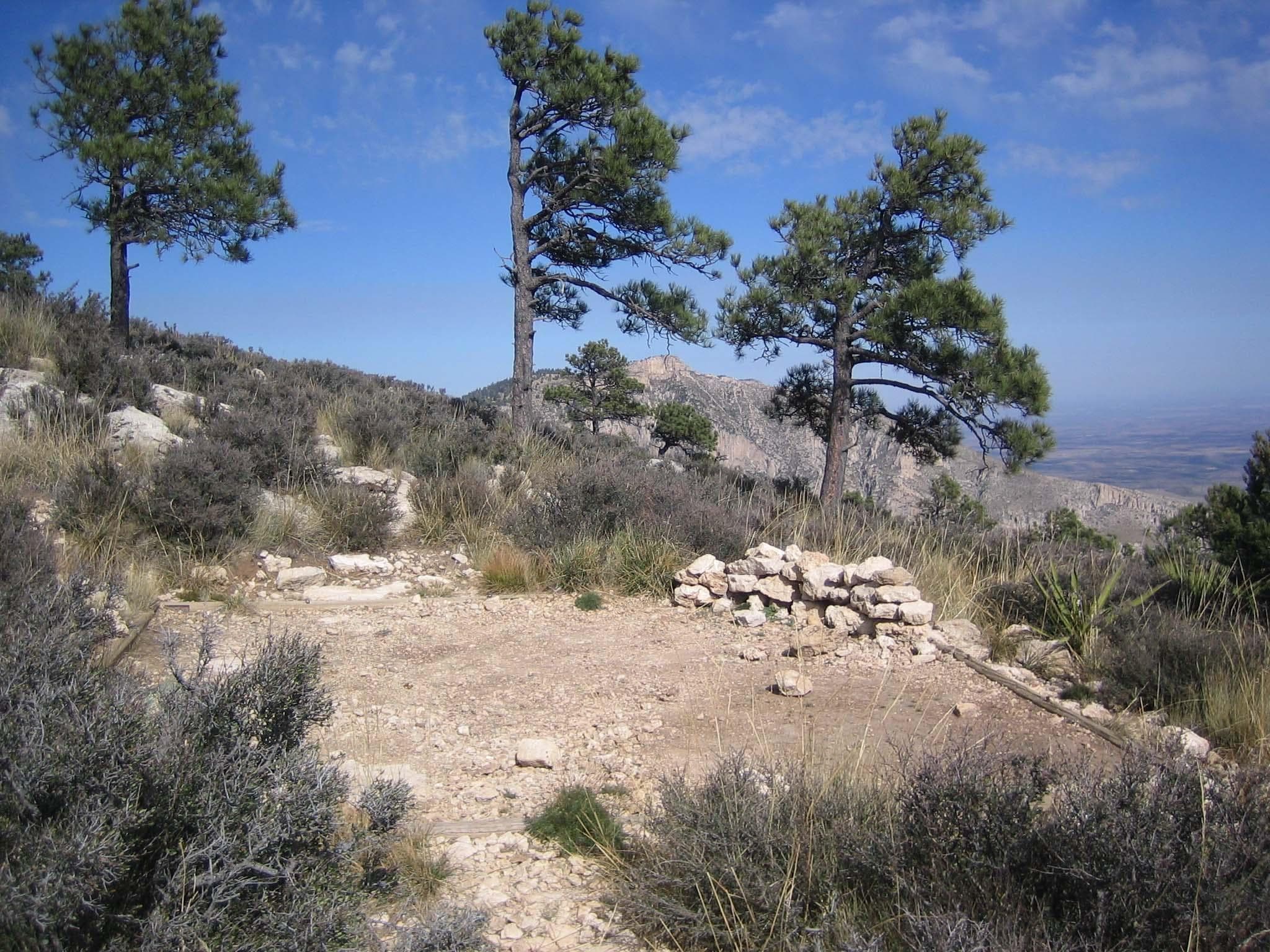
Guadalupe Peak Wilderness Campground
A Wilderness Use Permit is required for all use of these campsites. This primitive campground is located on the Guadalupe Peak Trail, 3.1 miles from the Pine Springs Trailhead, and 1 mile below the Peak. The elevation gain from the trailhead to the campsites is 2,200 feet. The campground is on a small knoll and only minimally protected from high winds. Five designated campsites are defined by tent pads. These sites are exposed and high winds are common.
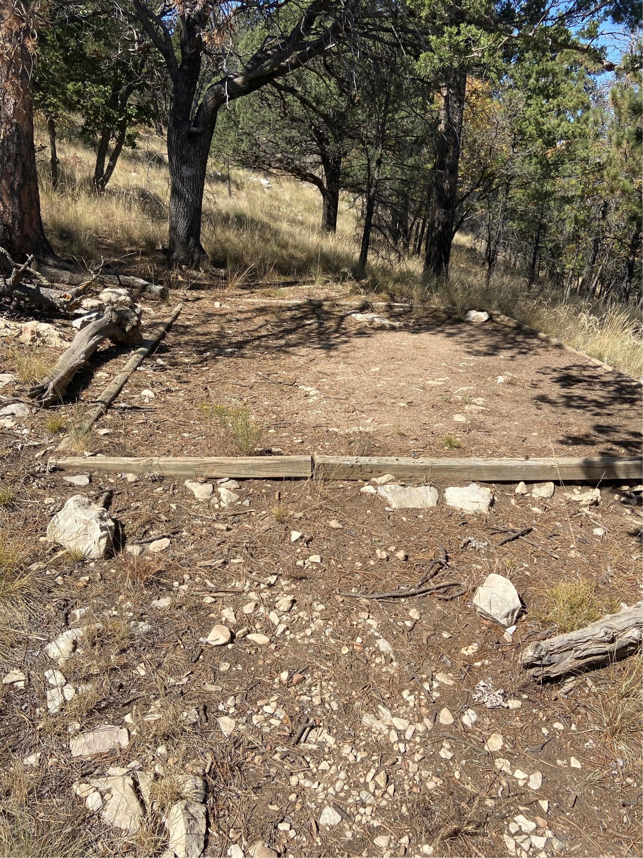
Pine Top Wilderness Campground
A Wilderness Use Permit is required for all use of these campsites. Pine Top is the backcountry campground in closest proximity to the Bowl and offers excellent views of the park's highest peaks. Pine Top is an excellent choice for a single night backpack trip. It is 3.9 miles from Pine Springs Trailhead via the Tejas and Bush Mountain Trails. Elevation gain is 2,300 feet. Though secluded in trees, Pine Top is susceptible to high winds & lightning. Eight designated campsites are defined by tent pads.
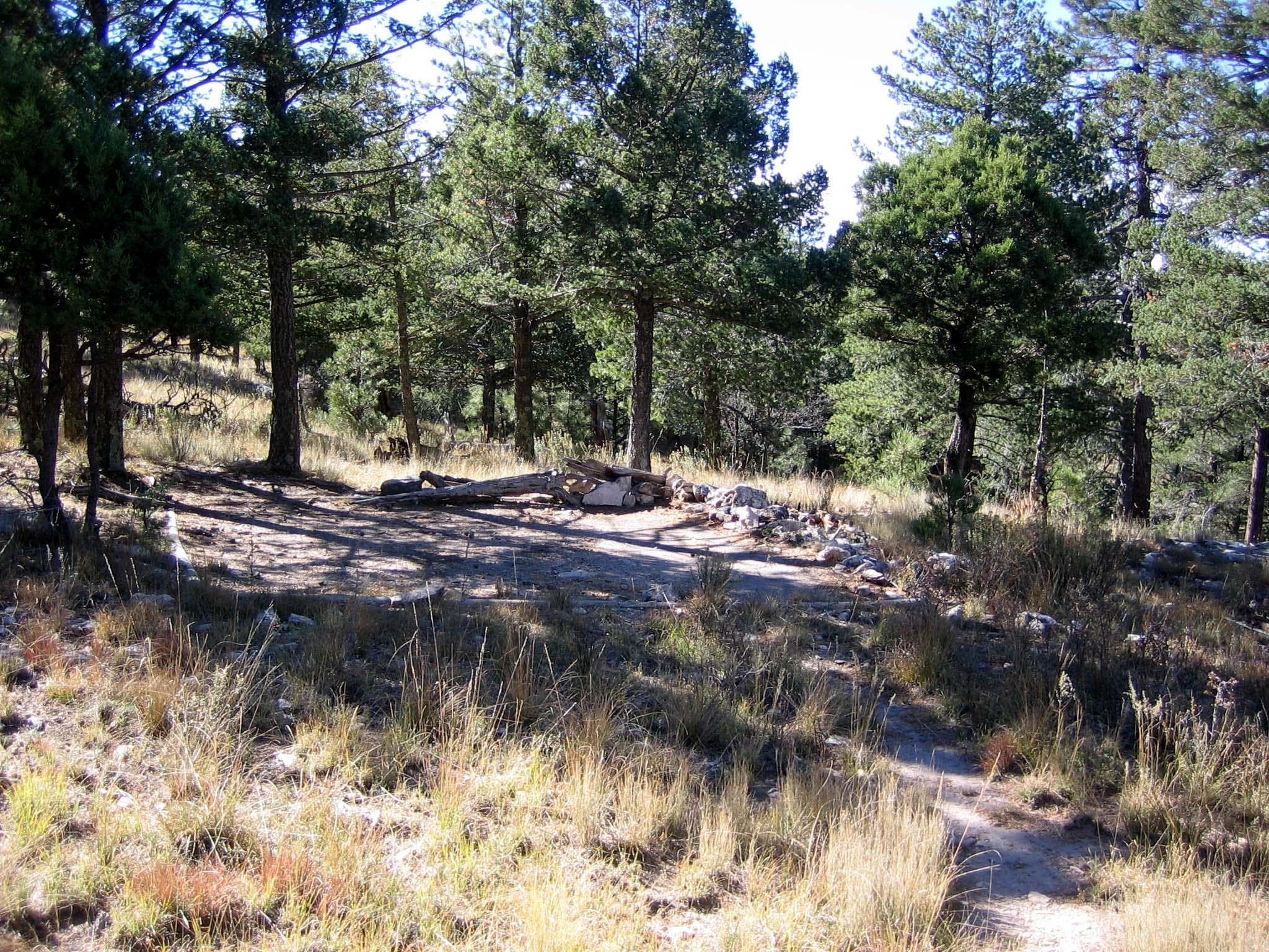
Bush Mountain Wilderness Campground
A Wilderness Use Permit is required for all use of these campsites. A favorite of many for the exceptional vistas and western sunsets. Though the campsites at Bush Mountain are semi-protected from high winds, backpackers will find hiking on the exposed trails to reach the campground difficult during periods of high wind activity. Bush Mountain Campground is 6.2 miles from Pine Springs Trailhead via the Tejas and Bush Mountain Trails. Five designated campsites are defined by tent pads.
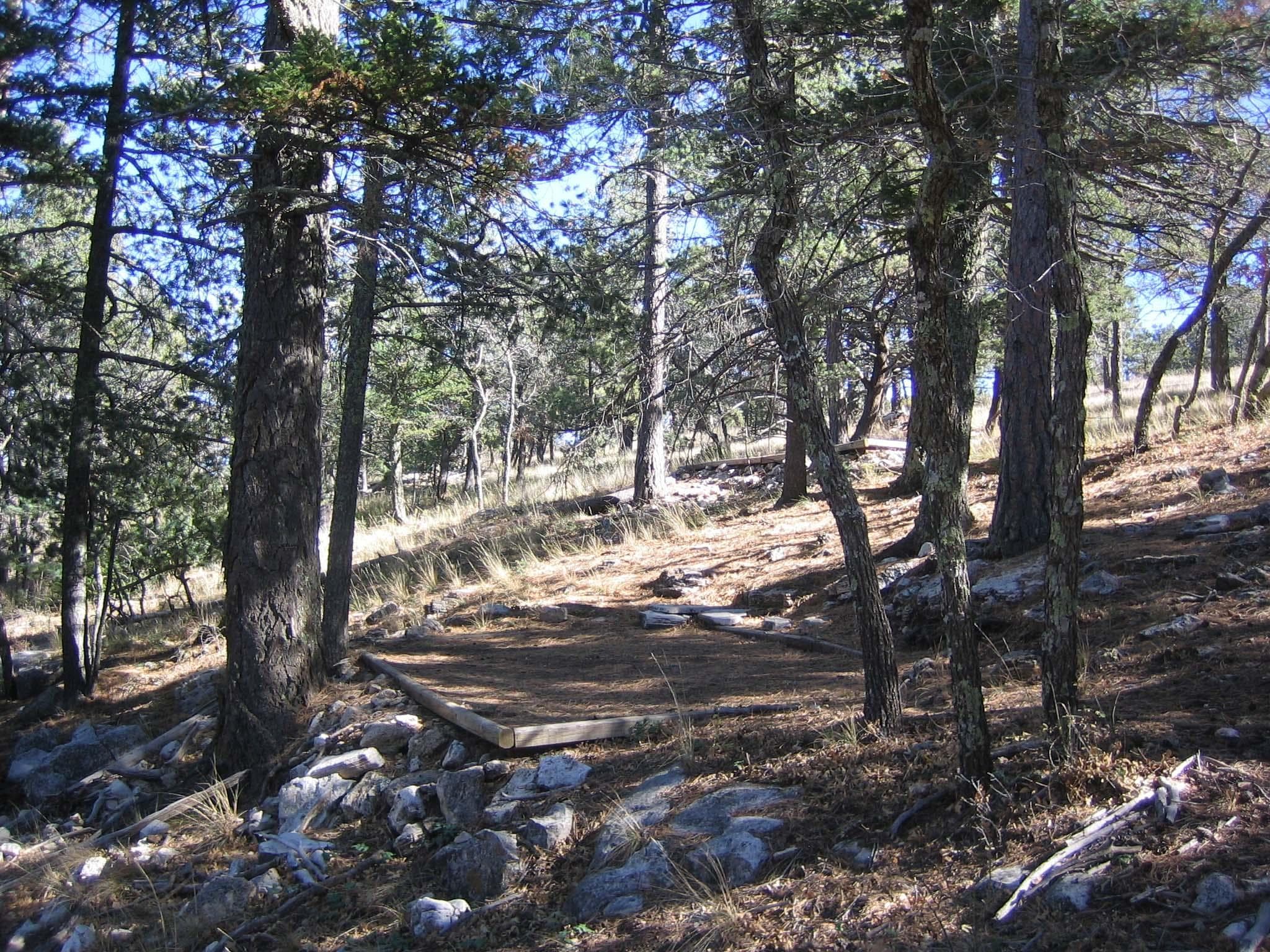
Blue Ridge Wilderness Campground
A Wilderness Use Permit is required for all use of these campsites. Blue Ridge Campground is surrounded by ponderosa pine and Douglas fir; wild roses and grassy areas are nearby - a beautiful location and very remote. The distance from Pine Springs Trailhead: via the Tejas & Blue Ridge Trails is 7.8 miles, via the Tejas, Bush Mountain & Blue Ridge Trails is 8.9 miles.
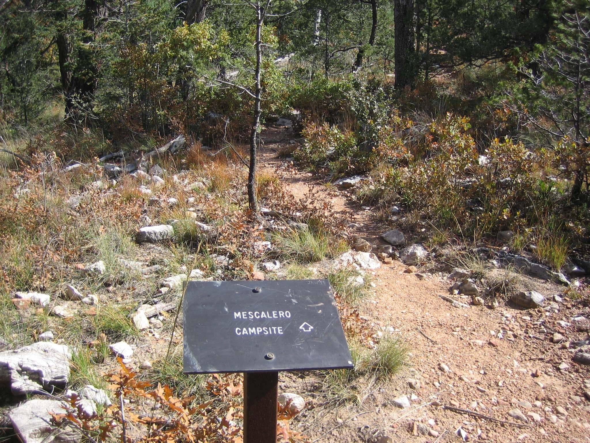
Mescalero Wilderness Campground
A Wilderness Use Permit is required for all use of these campsites. This campground is near several trails leading in different directions, making it an excellent choice for a "base camp" while exploring the high country. (Listen for wild turkeys off in the distance.) Mescalero is situated in ponderosa pine and brush, and is on a slope overlooking a small drainage. Located on the Tejas Trail, Mescalero is 6.2 miles from Pine Springs Trailhead or 4.7 miles from Dog Canyon.
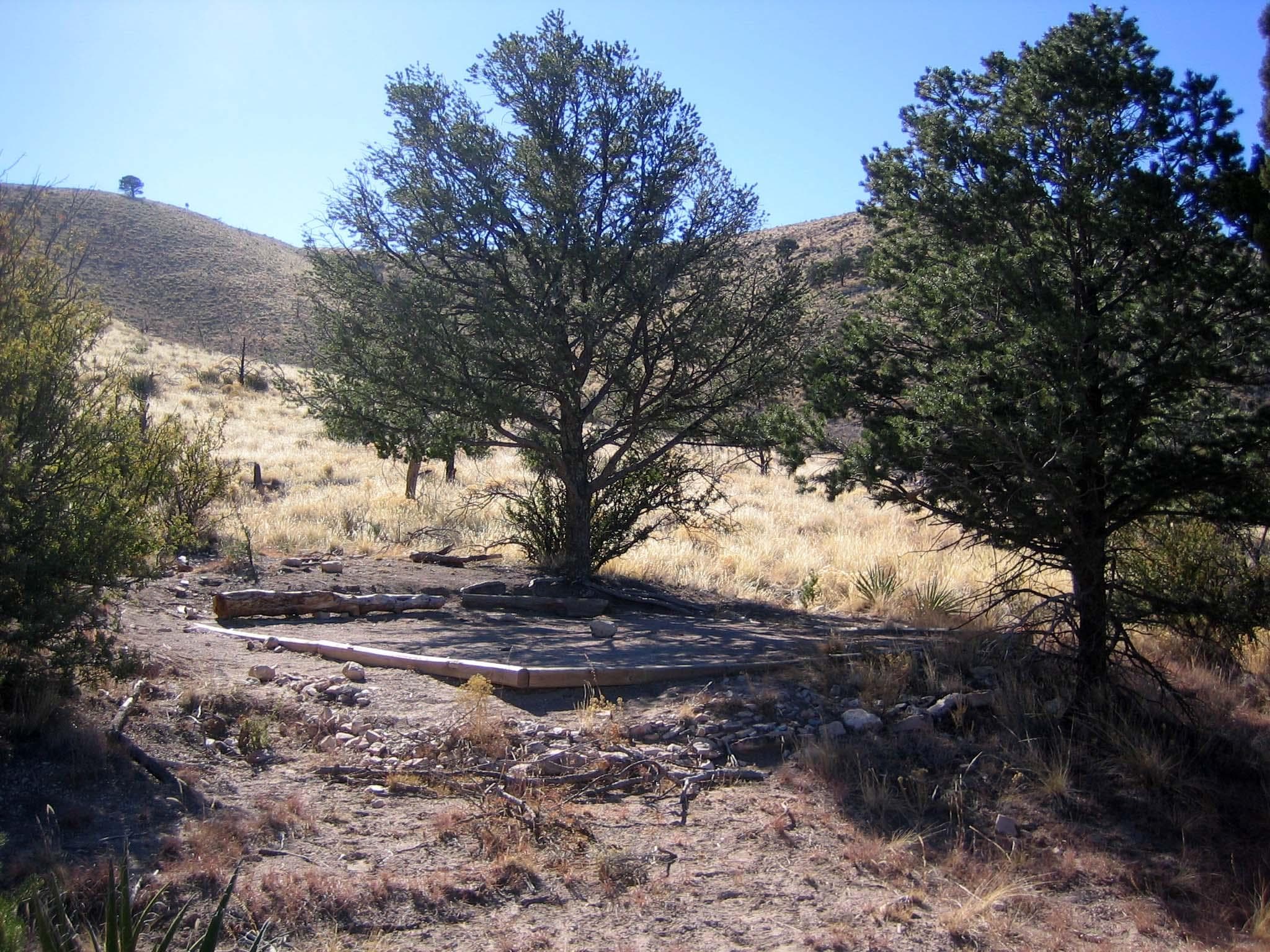
Marcus Wilderness Campground
A Wilderness Use Permit is required for all use of these campsites. From Dog Canyon, hikers travel through grassy areas then cross Manzanita Ridge to view West Dog Canyon before descending to an elevation equivalent to the starting point. Not frequently used; pay attention to the trail and rock cairns marking the way. The campground is in pinion and juniper, shaded and protected from the wind. The distance from Dog Canyon is 3.7 miles.
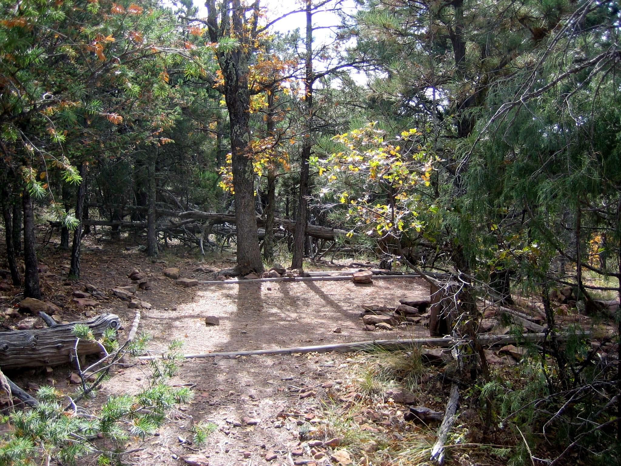
McKittrick Ridge Wilderness Campground
A Wilderness Use Permit is required for all use of these campsites. Travel through the beautiful McKittrick Canyon before beginning the very steep climb up to the ridge. From McKittrick Canyon Trailhead, the distance is 7.6 miles, with the elevation gain (significant for quite some distance) of over 2,700 feet. If you'd like to visit this beautiful ridge without quite the workout, begin instead at Dog Canyon.
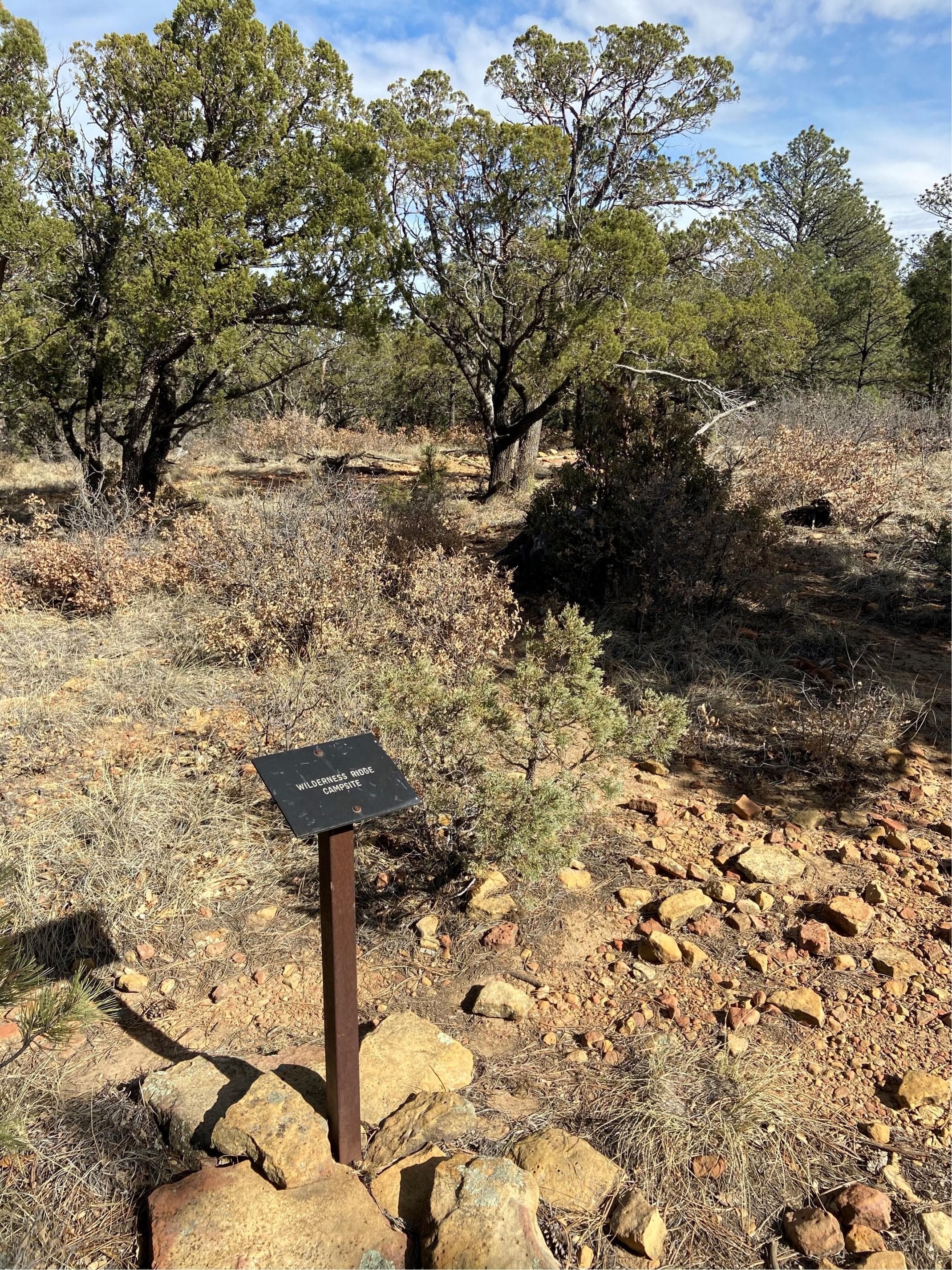
Wilderness Ridge Wilderness Campground
A Wilderness Use Permit is required for all use of these campsites. An interesting hike along the Permian Reef Trail meanders up 2,000 feet to Wilderness Ridge where the sudden transition from rock to trees is refreshing. Once on top, the trail is level through forested and open areas and takes you to the edge of the escarpment where the view is outstanding. Wilderness Ridge Campground is in the trees, and worth the extra distance to save the resource from unnecessary damage.
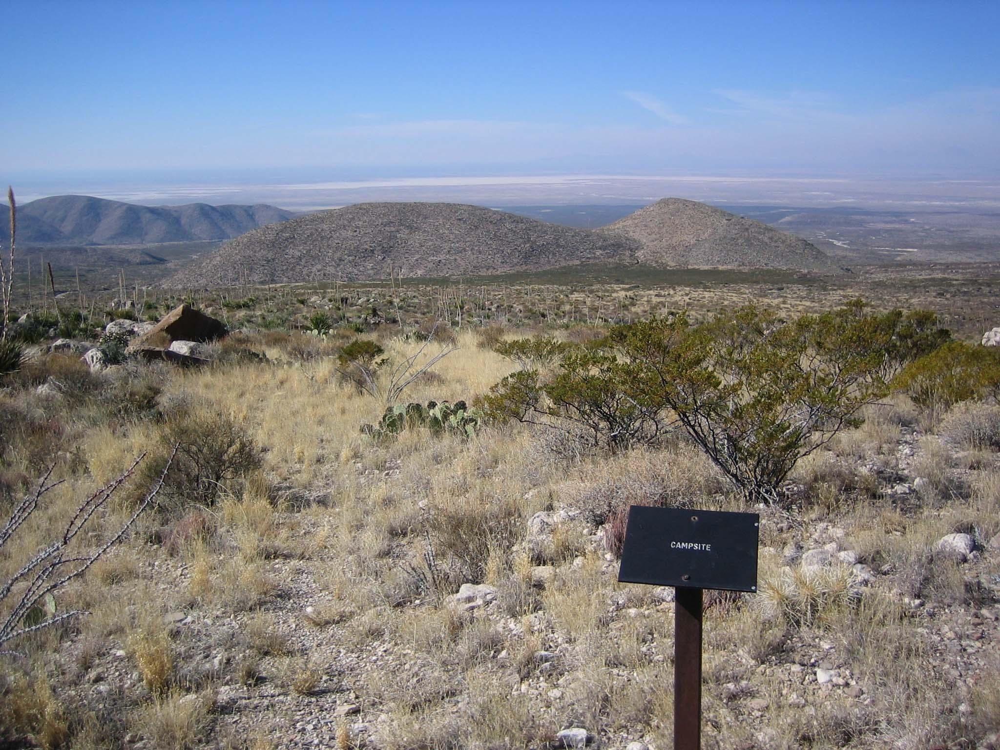
Shumard Canyon Wilderness Campground
A Wilderness Use Permit is required for all use of these campsites. If you enjoy arid Chihuahuan desert or you find yourself fascinated by the geology of the Guadalupes, consider a backpack trip to this remote location. Though it is 9.0 miles from Pine Springs Trailhead, the elevation gain is much less significant than many of the other trails—though it's by no means flat. Do make sure you are prepared for sun, wind, and weather exposure. The trail is not protected by trees along the way.
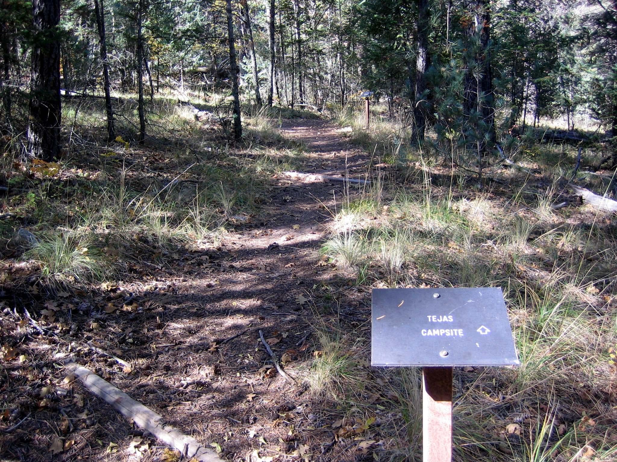
Tejas Wilderness Campground
A Wilderness Use Permit is required for all use of these campsites. The extra distance to the Tejas Wilderness Campground is worth the time for those who wish to stay in a more densely forested surrounding. The tall trees provide deep shade in the morning and late afternoon and protection from high winds aloft. Centrally located, the Tejas Campground is 5.5 miles from Pine Springs Trailhead or 6.2 miles from Dog Canyon.
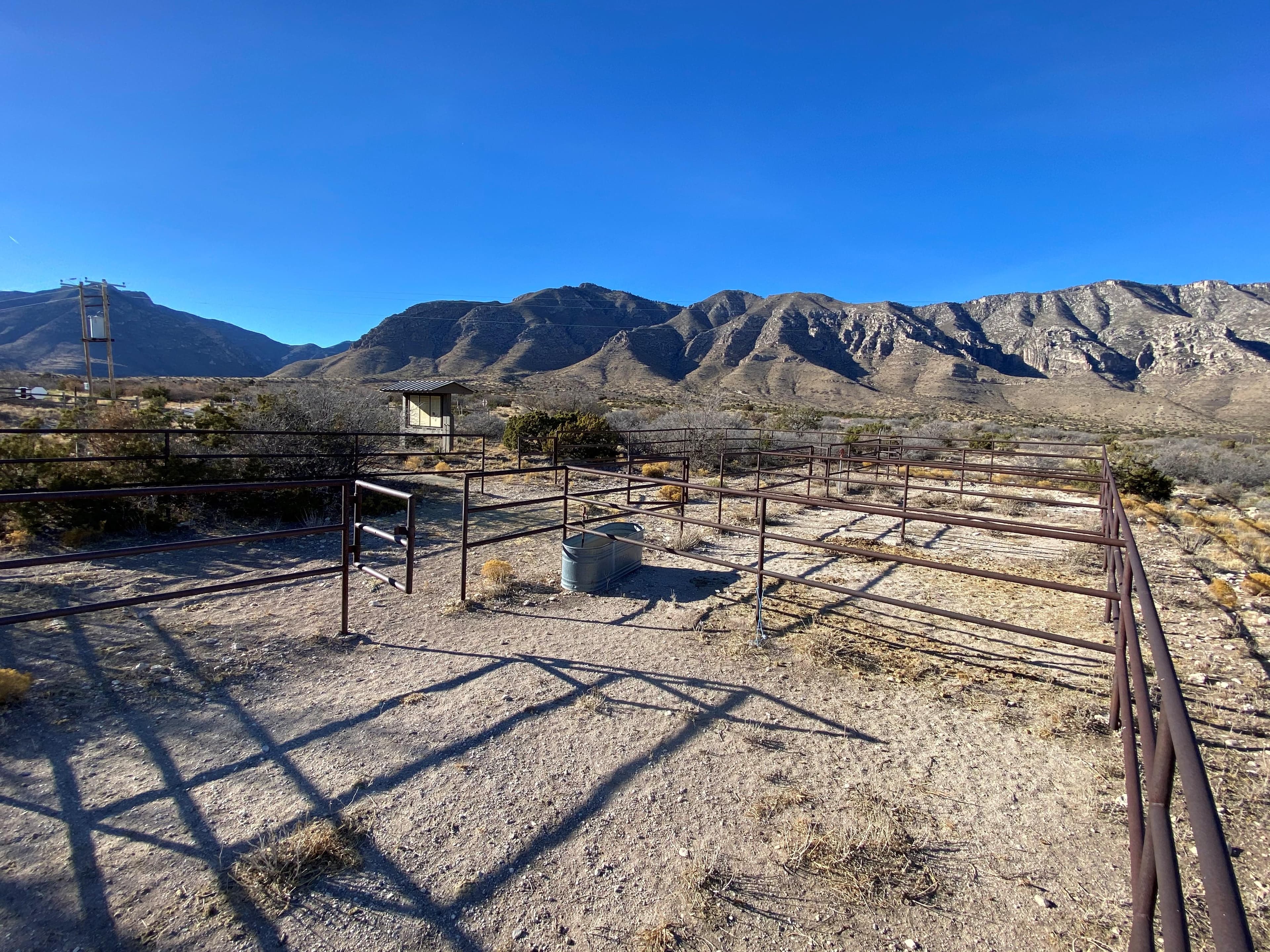
Frijole Horse Corral Campground
The Frijole Horse Corral Group Campsite is the only facility for horse users on the east side of the park. The visitor horse corrals and campsites may be reserved up to two months in advance of the visit. This camping area is immediately adjacent Highway 62/180 on the Frijole Ranch access road. Due to proximity to both the highway and the access road, this site has little privacy and is subject to road noise. The Frijole Horse Corral has a capacity of 10 animals.
Parking & Access
Getting Here
Guadalupe Mountains National Park is located on the north side of US Hwy 62/180. If you are traveling east from El Paso, TX, we are 110 miles East of the city. Follow US Hwy 62/180 North to the Pine Springs Visitor Center. If you are traveling from Van Horn, TX, you will travel north on US 54 and make a right-hand turn at the junction of US 62/180 to arrive at the park. If you are traveling west from Carlsbad, NM, you will travel on US Hwy 62/180 South and cross into Texas. Follow signs to the park.
Official NPS directionsParking Lots
Dog Canyon Trailhead
Open in MapsFrijole Ranch
This is trailhead parking for the Smith Springs, Frijole, and Foothills trails as well as access to the historic Frijole Ranch museum. There are a total of 16 car parking spaces, plus 2 accessible spaces. Large vehicle parking is along the outside edge of the parking lot. The road and parking lot are gravel and accessible by all vehicles.
Open in MapsMcKittrick Canyon Visitor Center and Trailhead
This parking area serves the visitor center and trailhead at McKittrick Canyon.
Open in MapsPine Springs Trailhead
This is trailhead parking is for Guadalupe Peak, Devil's Hall, Bowl, and El Capitan Trails. Trailhead parking are the non-numbered spaces. There are a total of 44 car parking spaces, plus 2 accessible spaces. Overflow parking and parking for RV's can be found at the Pine Springs Visitor Center Parking Lot. A short trail from the visitor center through the campground connects the two locations.
Open in MapsPine Springs Visitor Center
This is parking for the Pine Springs Visitor Center and the Pinery Nature Trail. This is also overflow parking for the Pine Springs Trailhead Parking. Parking for RV's can be found here. Note: when parking for cars becomes full, cars are allowed to started parking in the RV spots.
Open in MapsPinery Parking Area
Immediately adjacent to U.S. Highway 62/180 is the Pinery parking area. This parking area is a dirt area with parking for less than 15 vehicles. RVs, trailers and commercial vehicles are prohibited in this parking area. The Pinery parking lot has a trail that connects to the Pine Springs Visitor Center, a quarter of a mile away.
Open in MapsSalt Basin Dunes Trailhead
The surface of the access road is clay. During rainy weather, the road becomes dangerously slippery; it is unsafe to travel when wet. The speed limit is 25 miles per hour. Watch for livestock on the roadway.
Open in MapsGetting Here & Transit
How to Get Here
Guadalupe Mountains National Park is located on the north side of US Hwy 62/180. If you are traveling east from El Paso, TX, we are 110 miles East of the city. Follow US Hwy 62/180 North to the Pine Springs Visitor Center. If you are traveling from Van Horn, TX, you will travel north on US 54 and make a right-hand turn at the junction of US 62/180 to arrive at the park. If you are traveling west from Carlsbad, NM, you will travel on US Hwy 62/180 South and cross into Texas. Follow signs to the park.
Park Amenities
Permits & Reservations
Permits may be required
Some activities in Guadalupe Mountains National Park — including backcountry camping, certain trails, and climbing routes — require advance permits. Check the official NPS website for current requirements before your visit.
Entrance Fees & Passes
Standard Fees
Entrance - Per Person
$10.00An entrance fee of $10 per person (16 years of age and older) is required; entrance fees/passes permit 1-7 consecutive days of use in this national park. Holders of the Annual, Senior, Military, 4th grade and Access Pass can bring in 3 adults free of charge under their pass. Any pass must be displayed in a vehicle while in the national park.
Entrance - Education/Academic Groups
$0.00Entrance fee waivers are available to groups when the purpose of their visit is educational rather than recreational. Completed applications along with required documentation must be submitted via email. Fee waiver requests must be submitted at least six weeks before a scheduled visit to allow for consideration.
Annual & Lifetime Passes
Annual Entrance - Park
$35.00This pass is valid for entrance into Guadalupe Mountains National Park for one year from the month of purchase. The pass admits up to four adults in a private vehicle and is non-transferable; visitors under 16 years of age are free. You can purchase this pass at the Pine Springs Visitor Center.
Operating Hours
Pine Springs
The Pine Springs area, including the campground, visitor center, trailhead, and associated parking areas are open and accessible all of the time during normal operations. Camping is permitted in designated campsites only.
- MondayAll Day
- TuesdayAll Day
- WednesdayAll Day
- ThursdayAll Day
- FridayAll Day
- SaturdayAll Day
- SundayAll Day
Live Webcams
Click any camera to open the live feed on the NPS website.
El Capitan View
View from the Pine Springs area towards the southwest and the profile of El Capitan - "View Webcam" link opens a larger picture that updates every 30 seconds.
Dog Canyon View
View from the Dog Canyon campground area - "View Webcam" link opens a larger picture that updates every 30 seconds.
Pine Springs Canyon View
View looking toward the west into Pine Springs Canyon - "View Webcam" link opens a larger picture that updates every 30 seconds.
McKittrick Canyon View
View looking toward the north west into McKittrick Canyon trail.
McKittrick Parking Lot
View looking toward the McKittrick parking lot.
Photos
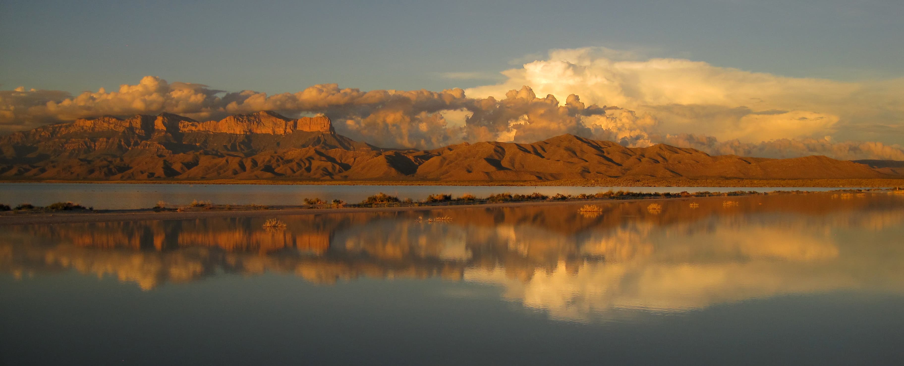
the slat flats become flooded during monsoon months after large rain events.
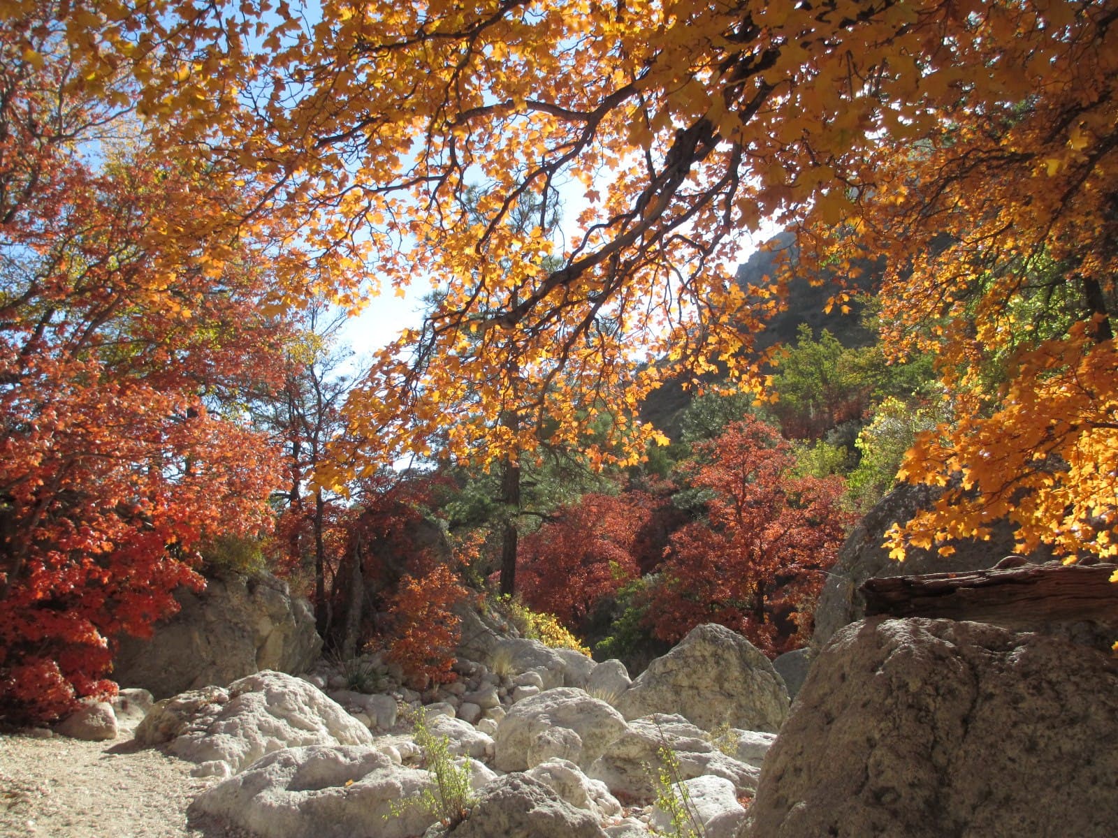
Fall colors in Devil's Hall
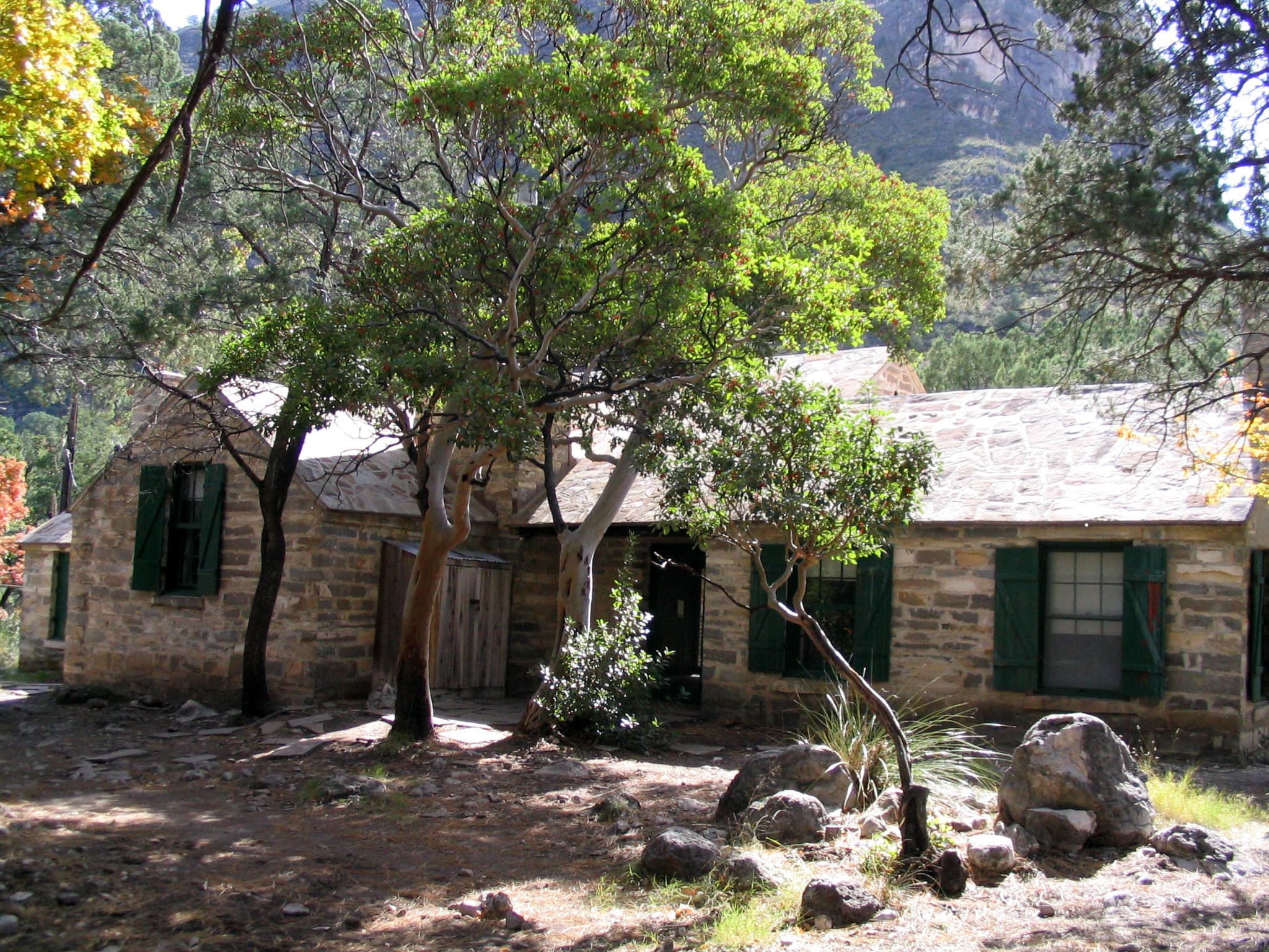
Pratt Cabin in McKittrick Canyon
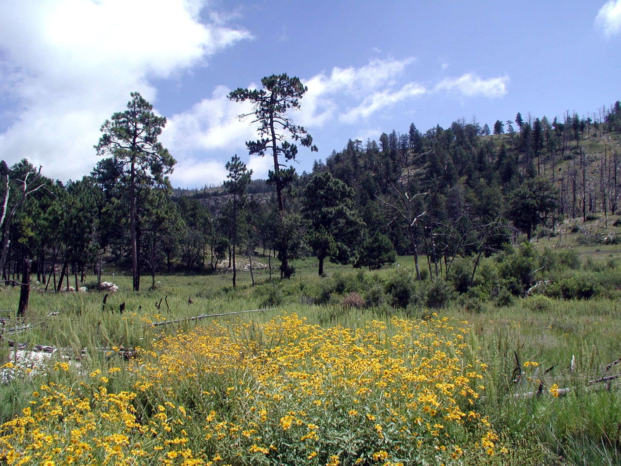
wildflowers blossom along The Bowl trail
When to Go
Crowd CalendarPlan your trip around peak seasons to avoid crowds or embrace the energy of the busy months. Our crowd predictions are based on historical NPS Visitor Use Statistics.
Jan
Feb
Mar
Apr
May
Jun
Jul
Aug
Sep
Oct
Nov
Dec
Build your Guadalupe Mountains itinerary
Tell Miza your dates, pace, and interests—get a day-by-day plan with hikes, drives, and must-see stops.
Best Time
May-September
Trip Length
2-4 days
Searching for the best hotel deals near Guadalupe Mountains National Park...
Planning Guadalupe Mountains
These common questions go deeper into logistics and planning. For real-time updates on road closures and current conditions, always check the Alerts section above.