
Park Hours (Today)
All Day
Sugarlands Visitor Center: 9:00AM - 5:00PM
Miza AI
Plan your Great Smoky Mountains trip
About the Park
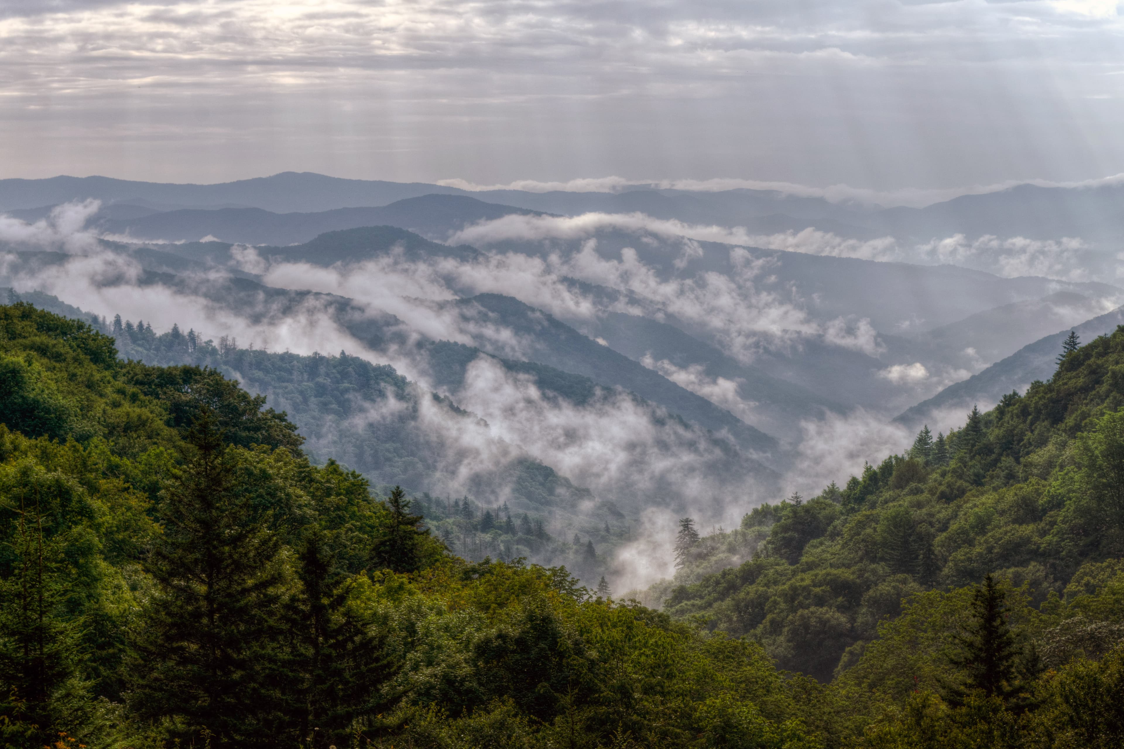
Ridge upon ridge of forest straddles the border between North Carolina and Tennessee in Great Smoky Mountains National Park. World renowned for its diversity of plant and animal life, the beauty of its ancient mountains, and the quality of its remnants of Southern Appalachian mountain culture, this is America's most visited national park. Plan your visit today!

Ready to explore Great Smoky Mountains National Park?
Take the stress out of planning. Our AI will automatically sequence your stops, find the best hotels, and optimize your driving time in seconds.
What to See & Do
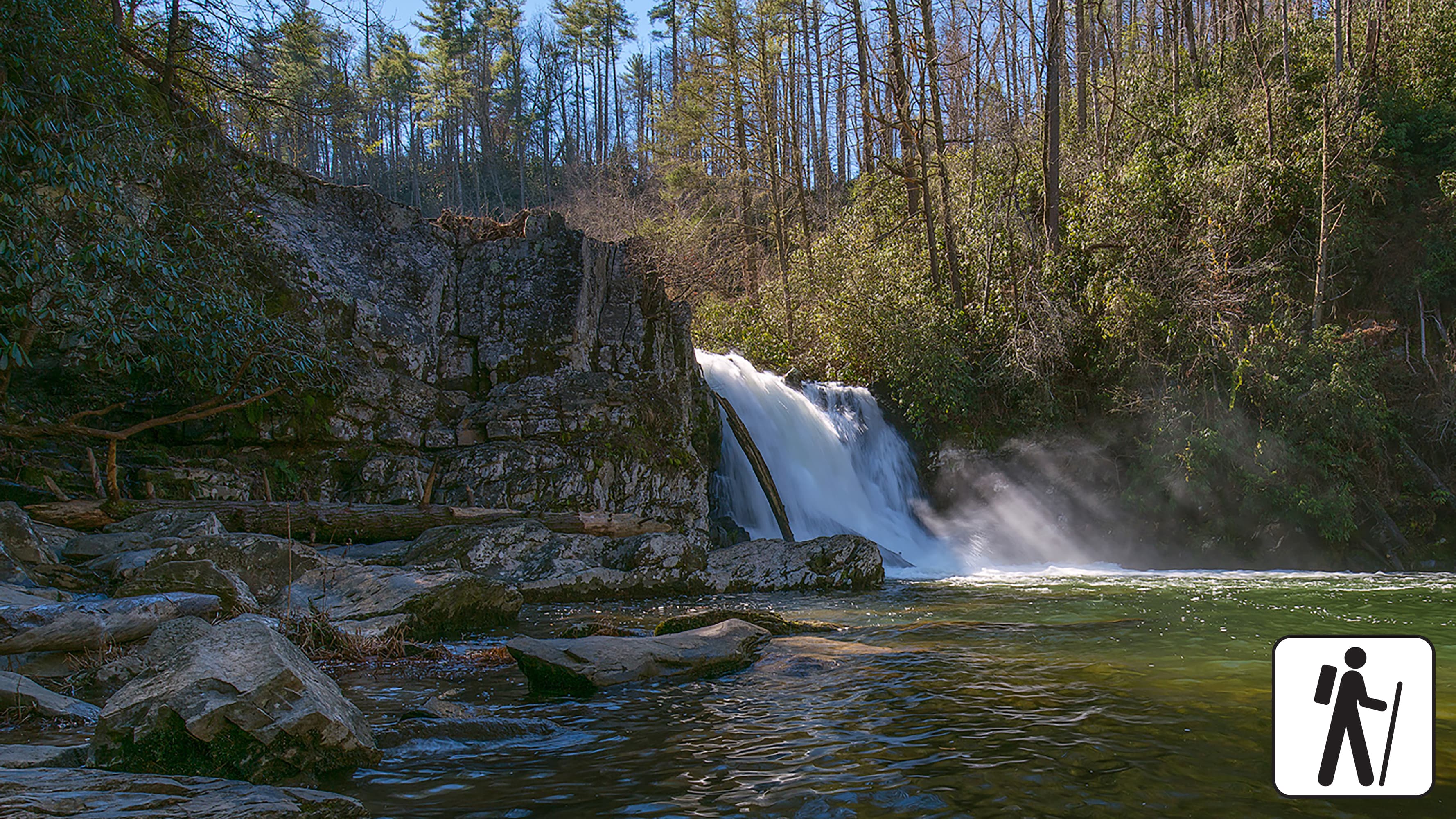
Hike to Abrams Falls
Walk 5 miles (8 km) roundtrip through rhododendron, hemlock, and pine-oak forest to a 25-foot (7.6-m) waterfall and scenic pool. Swimming in the pool is not recommended due to slippery rocks and a dangerous undertow.
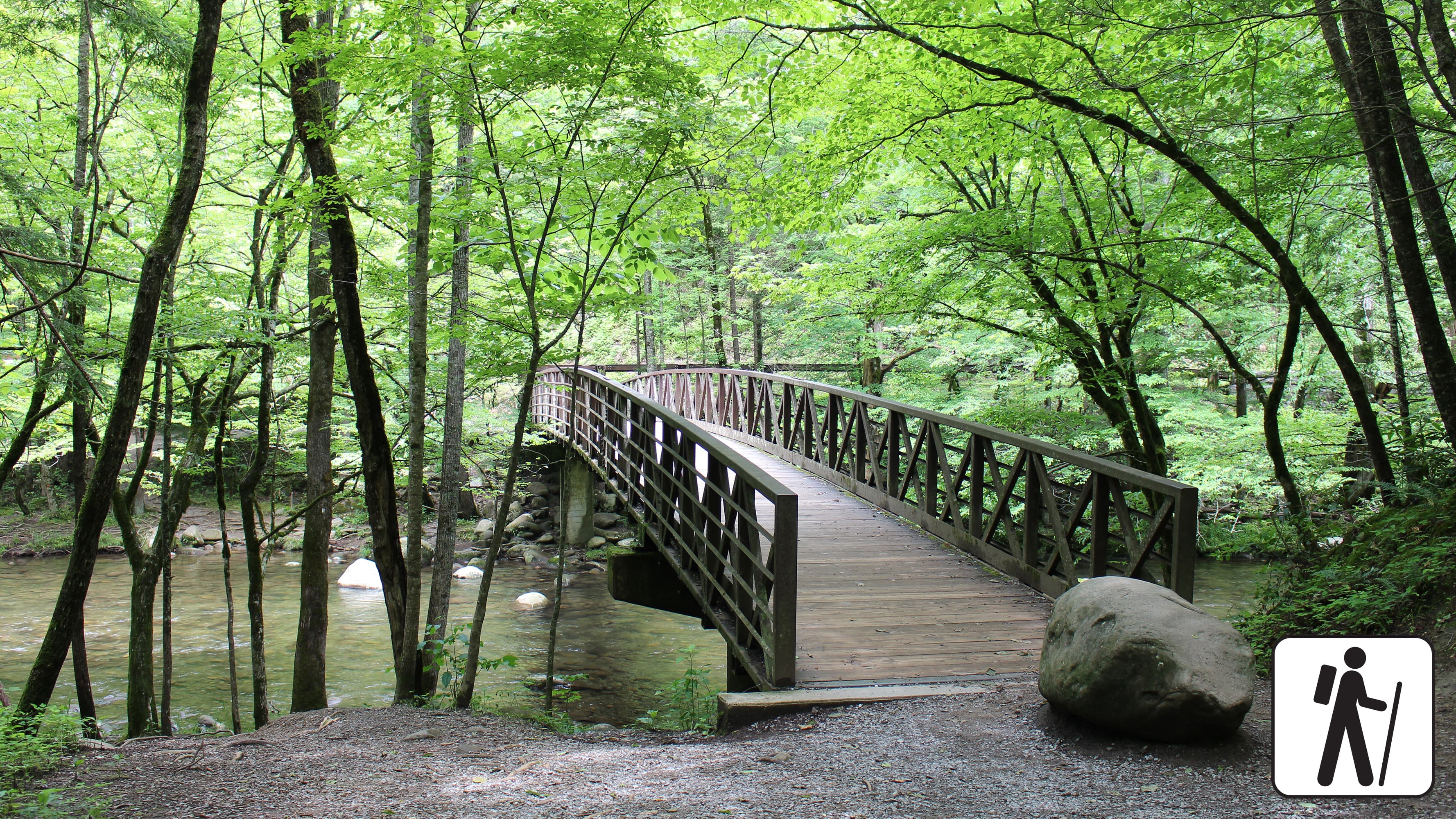
Hike the Gatlinburg Trail
Enjoy a riverside stroll approximately 4 miles (6.4 km) roundtrip through a cove hardwood forest along one of the only dog- and bike-friendly trails in the park. This trail includes sections of sidewalks and roadsides as well as graded dirt path.
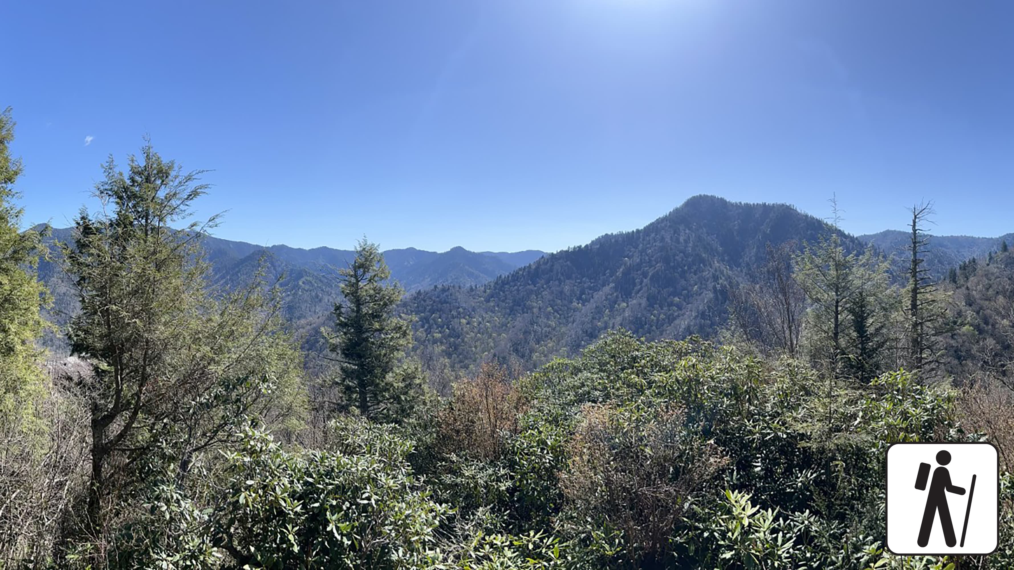
Hike to Chimney Tops Overlook
Hike 3.5 miles (5.6 km) roundtrip on this popular but challenging trail to enjoy views of surrounding mountains and the Chimney Tops pinnacles. This trail is steep and rocky at times, and includes bridges, stairs, and some lingering signs of 2016 wildfires.
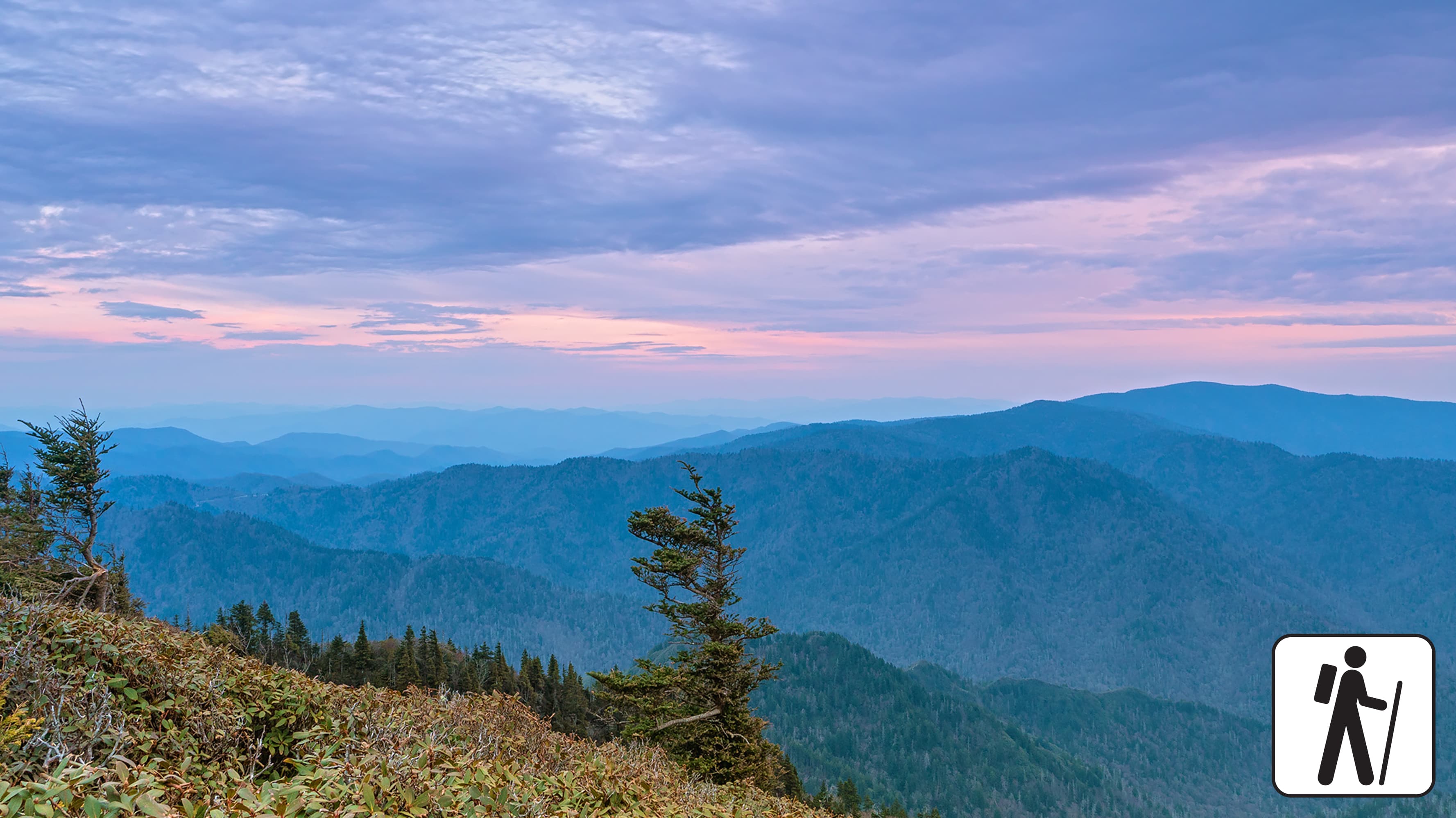
Hike to Mount Le Conte on Bullhead Trail
One of five routes to Mount Le Conte, the Bullhead Trail offers consistent views. The strenuous hike is 13.6 miles (21.9 km) roundtrip. Near the beginning, visitors will see rocky cliffs and climb the Bullhead, a heath-covered bald that may resemble a bull's head from a distance.
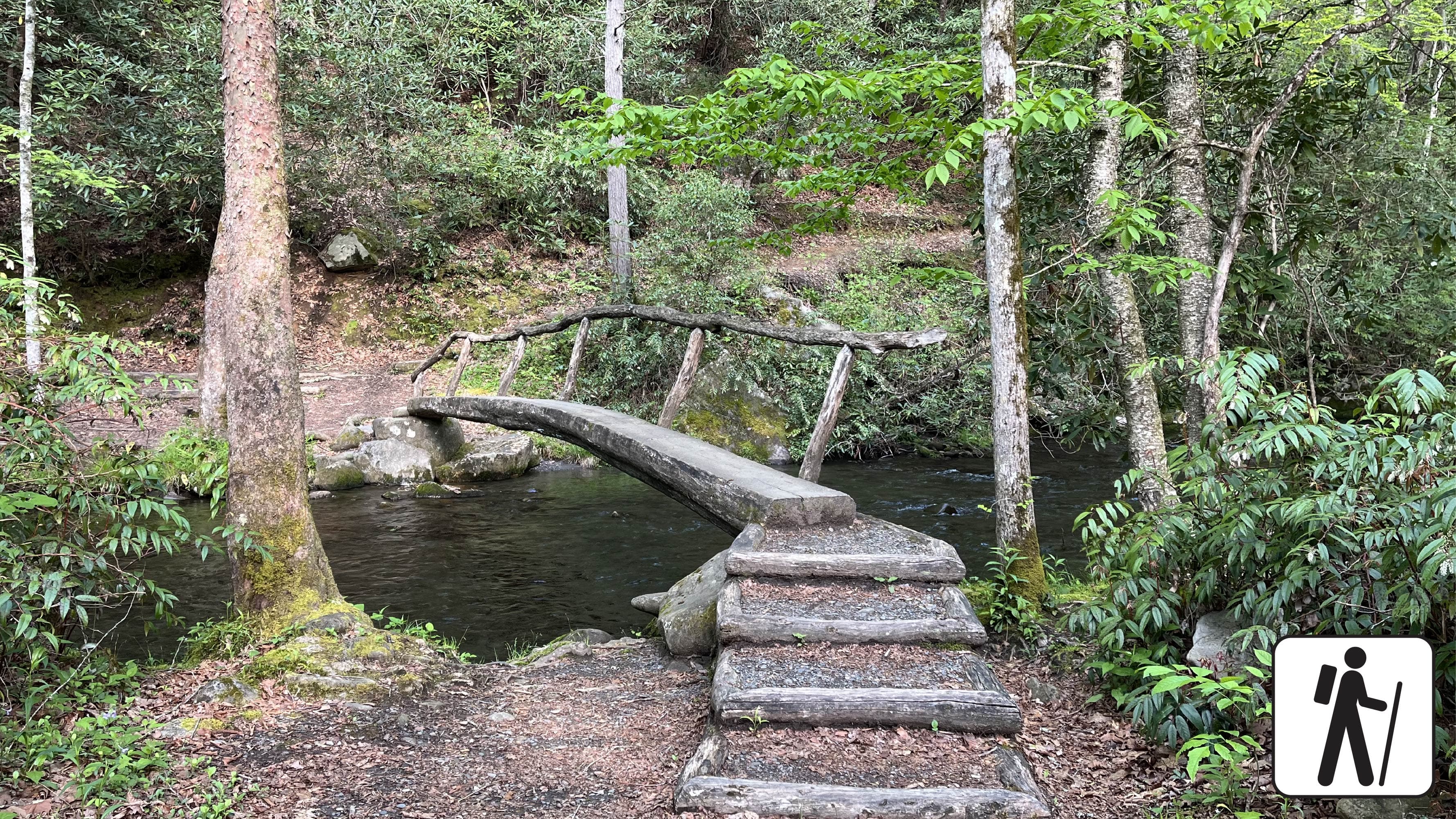
Hike Smokemont Nature Trail
Hike 0.62-mile (1 km) roundtrip on Smokemont Nature Trail which provides a peaceful escape and views of the surrounding peaks.
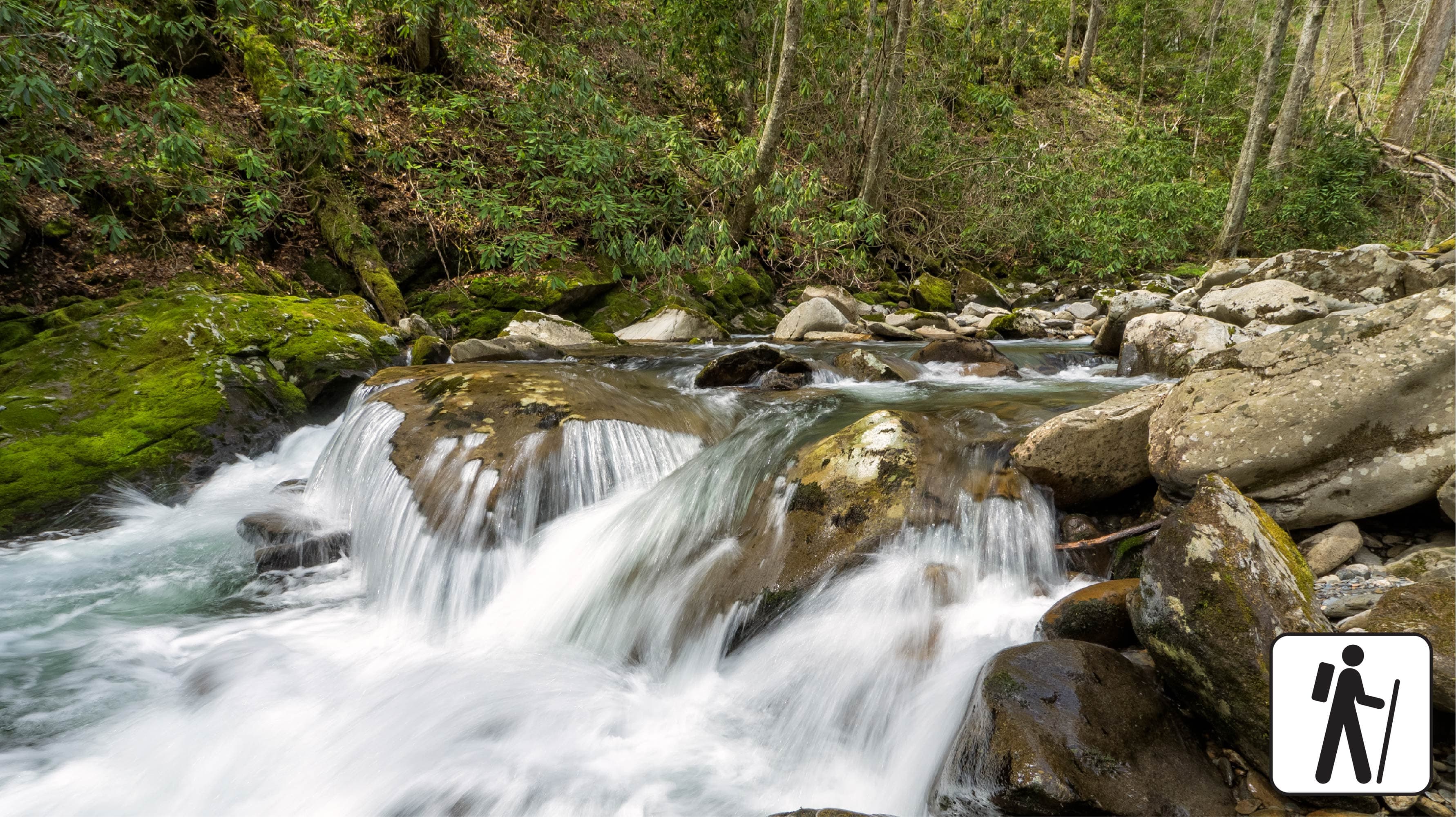
Hike Bradley Fork Trail
The Bradley Fork Trail offers a scenic and diverse outdoor experience, featuring picturesque creeks, seasonal wildflowers, fishing access, horseback riding opportunities, and backcountry camping.
Self-Guided Tours
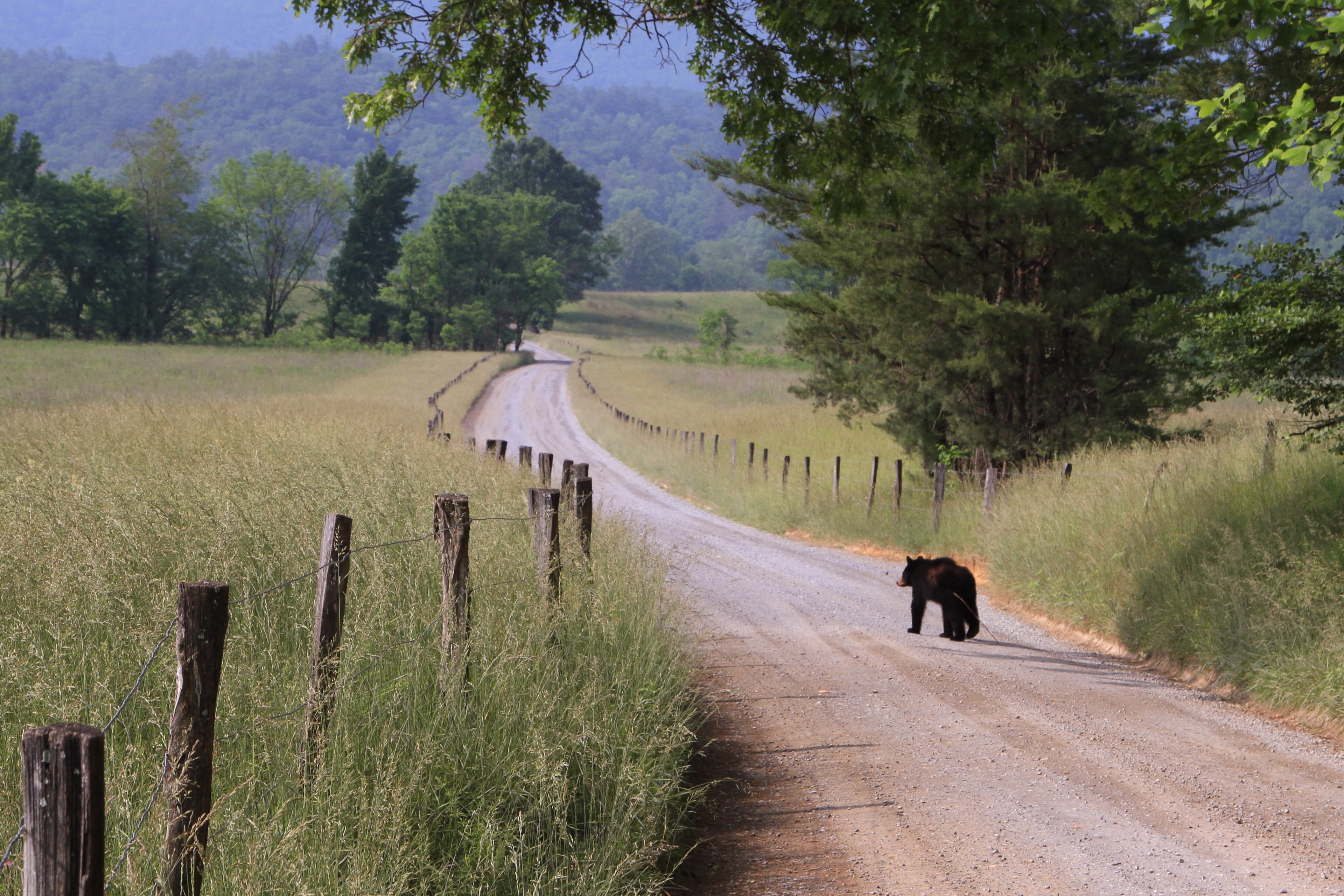
Cades Cove Places Tour
Explore Cades Cove as you drive the 11-mile loop road. Along the way, discover historic homesteads, churches, an active grist mill, and scenic vistas of the surrounding mountains.
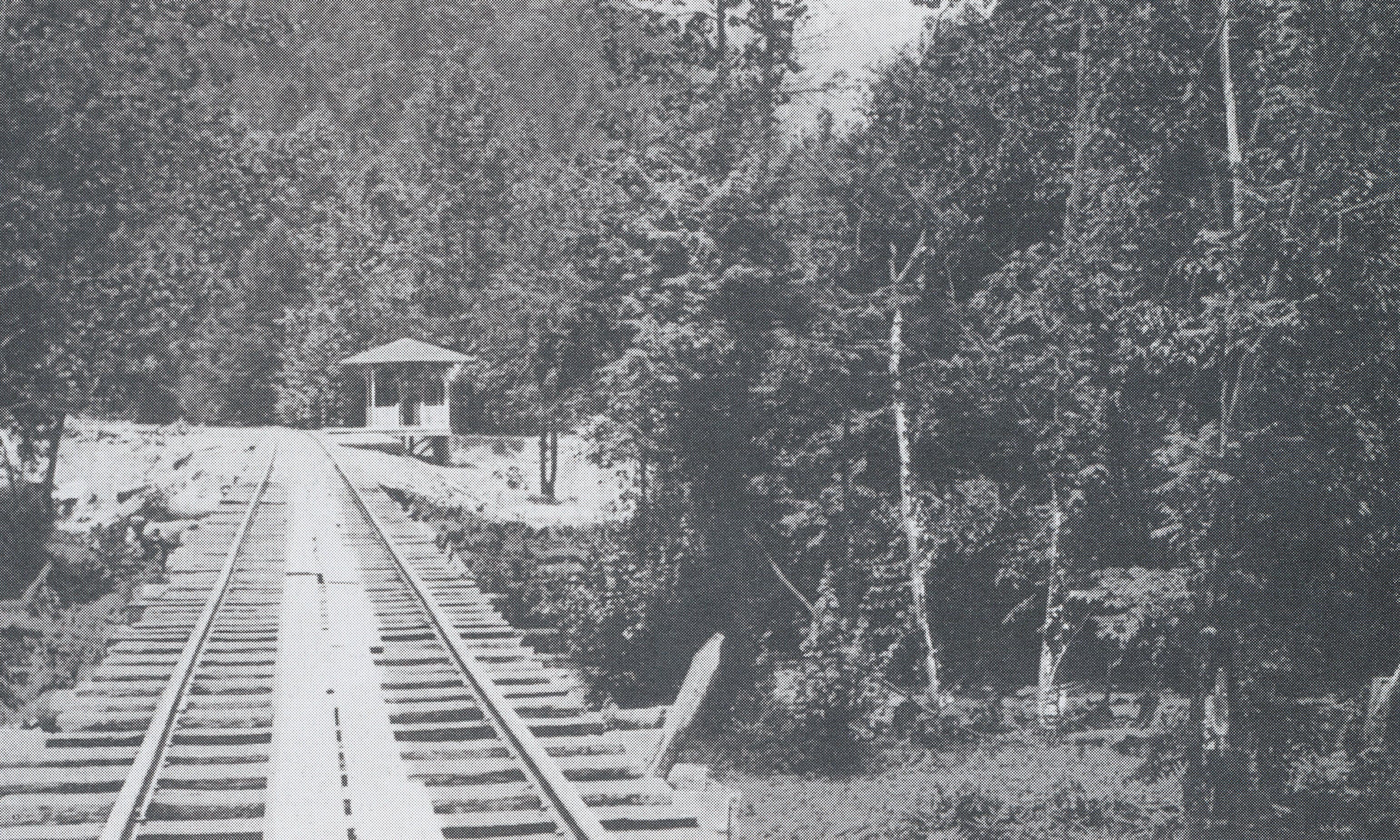
Elkmont Historic District Tour
Beginning in today's Elkmont Campground, this walking or driving tour will allow you to explore the rich history of the area that led to the birth of tourism within and the establishment of Great Smoky Mountains National Park.
Visitor Centers
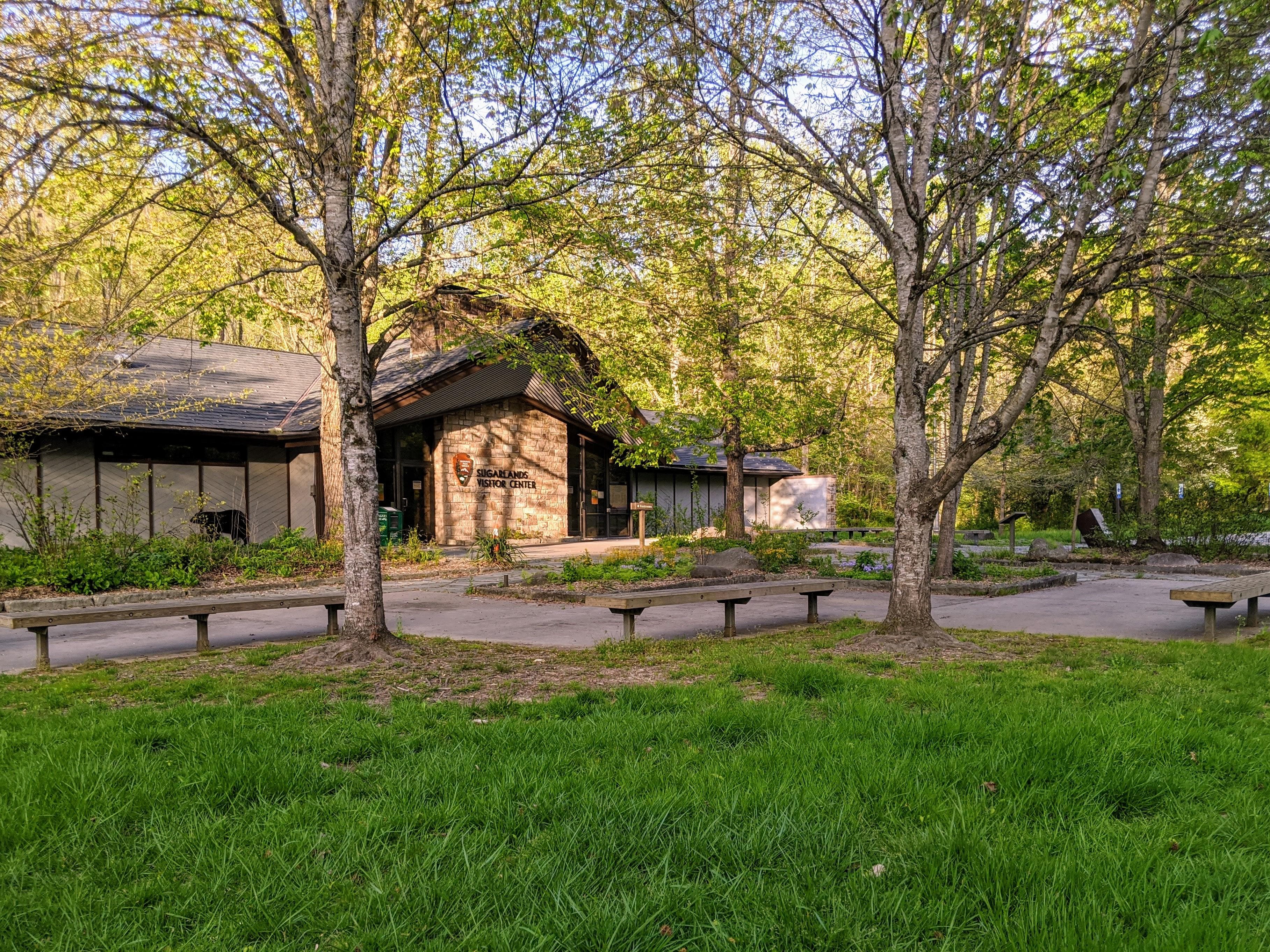
Sugarlands Visitor Center
Near Gatlinburg, TN, Sugarlands Visitor Center is an excellent starting point as you enter the park's North District. Learn about the park's plants and animals with natural history exhibits. Enjoy ranger-led programs conducted seasonally. Peruse the park bookstore and shop. Access public restrooms and drink vending machines. The Backcountry Permit Office is here, too.
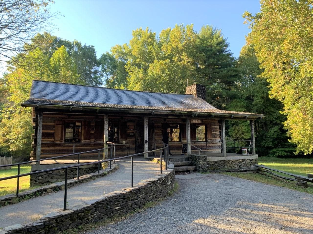
Cades Cove Visitor Center
Roughly half-way through the Cades Cove Loop Road, pause to speak with park staff and visit various exhibits. Learn about Southern Mountain life and culture, and see a gristmill (operates spring through fall), the Becky Cable house, and other historic structures. Enjoy seasonal ranger-led activities and peruse the park bookstore and shop. Public restrooms available.
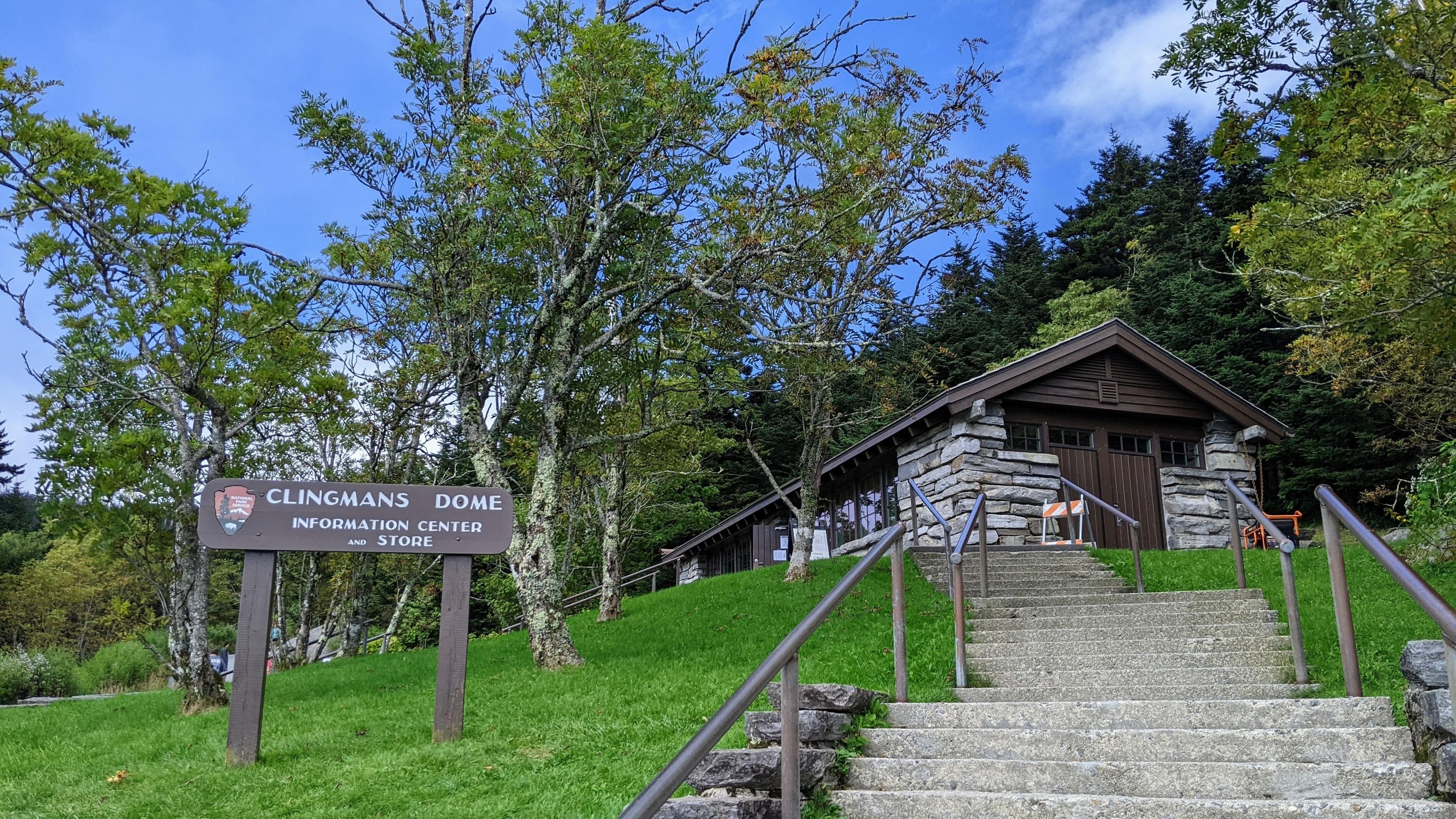
Kuwohi Visitor Center
Kuwohi (formerly Clingmans Dome) is the tallest peak in the Smokies. Enjoy sweeping views of the Smokies—weather permitting—and get your park questions answered. Peruse a small bookstore and shop. Public restrooms are available.
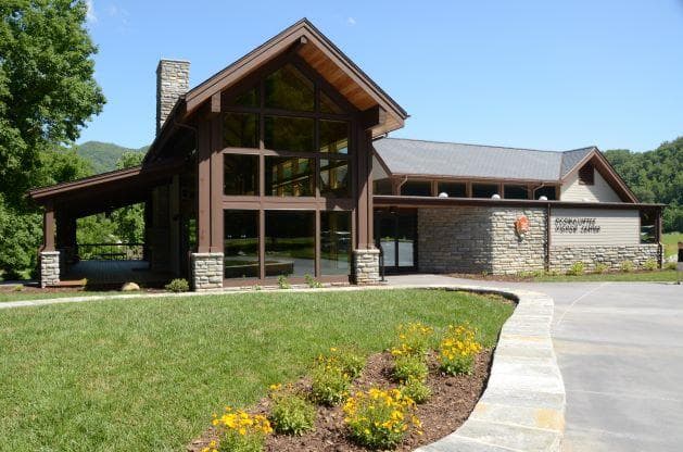
Oconaluftee Visitor Center
Near Cherokee, North Carolina, the Oconaluftee Visitor Center is an ideal starting point as you enter the park's South District. Explore cultural history exhibits. Enjoy ranger-led programs conducted seasonally. Peruse the park bookstore and shop. Find public restrooms and drink vending machines. The adjacent Mountain Farm Museum contains a collection of log structures including a farmhouse, barn, smokehouse, applehouse, corn crib and others.
Where to Stay
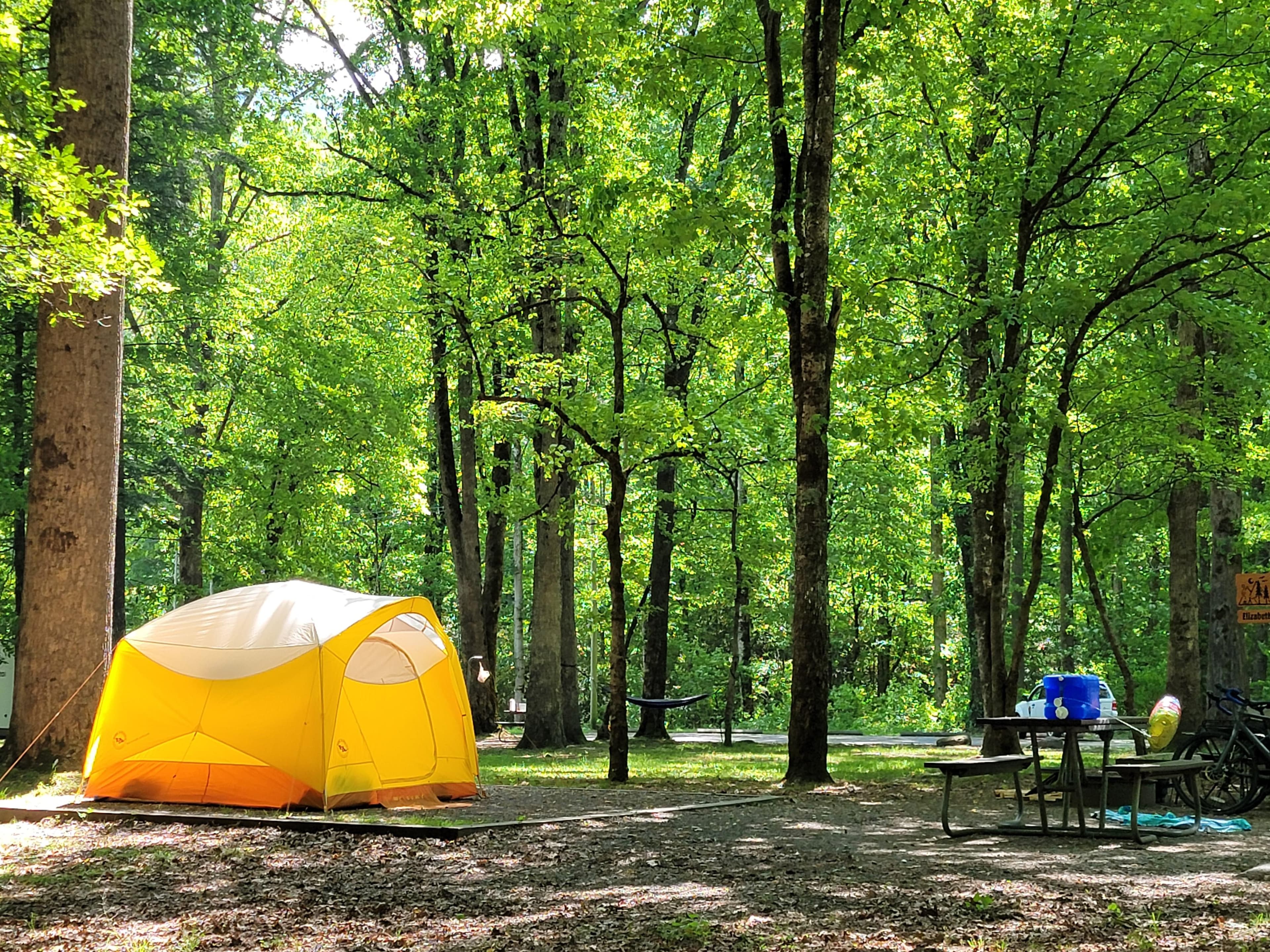
Smokemont Campground
Smokemont Campground—open year-round—is the closest family campground to Oconaluftee Visitor Center in the South District of the park. At 2,198 feet (670 m), winters are mild and summers are hot and humid. Tent and RV campsites, flush toilets, and drinking water are available. No hookups or showers. America the Beautiful passes (not accepted in lieu of the parking tag for parking outside your campsite) are sold at the campground ranger station in summer & fall or online through the USGS store.
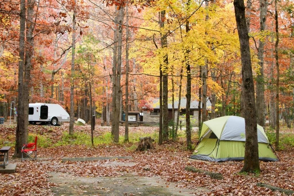
Cades Cove Campground
Cades Cove Campground—open year-round—combines the feel of primitive camping with the modern convenience of flush toilets and drinking water. With an elevation of 1,807 feet (551 m), the climate is moderate, characterized by mild winters and hot, humid summers. No hookups or showers. America the Beautiful passes (not accepted in lieu of the parking tag for parking outside your campsite) are sold at the campground ranger station in summer & fall or online through the USGS store.
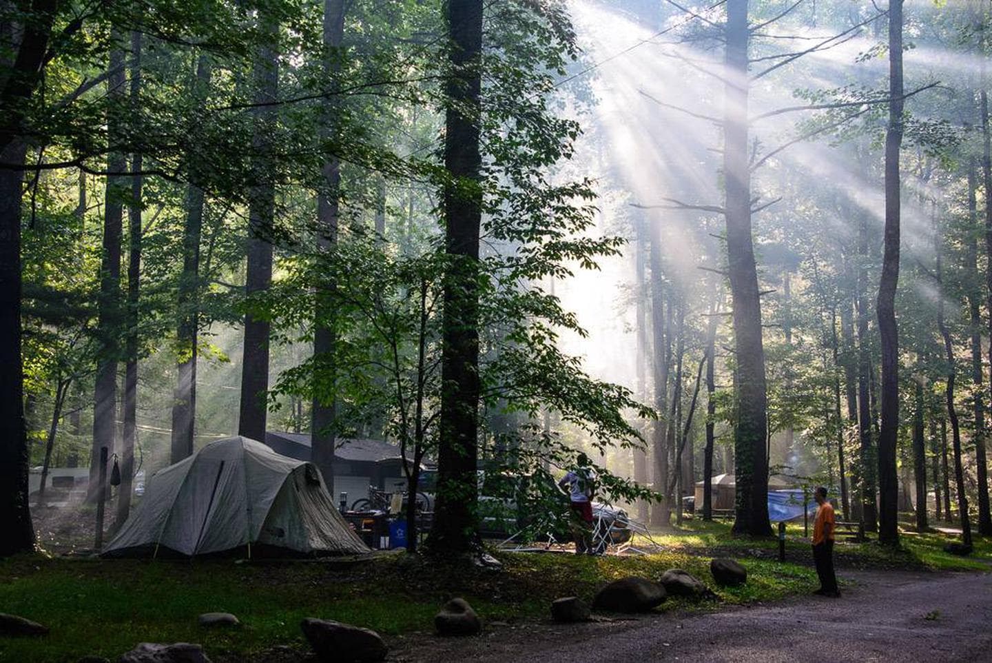
Elkmont Campground
Elkmont Campground is the closest family campground to Sugarlands Visitor Center in the North District of the park. At 2,150 feet (655 m), winters are mild and summers are hot and humid. Tent and RV campsites, flush toilets, and drinking water are available. No hookups or showers. America the Beautiful passes (not accepted in lieu of the parking tag for parking outside your campsite) are sold at the campground ranger station in summer & fall or online through the USGS store.
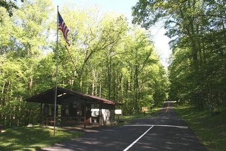
Cosby Campground
Cosby Campground is tucked in the mountains under a canopy of shade. With an elevation of 2,459 feet (750 m), Cosby provides a moderate climate, characterized by mild winters and hot, humid summers. Campsites for both tents and RVs, flush toilets, and drinking water are available. No hookups or showers are available at the campground.
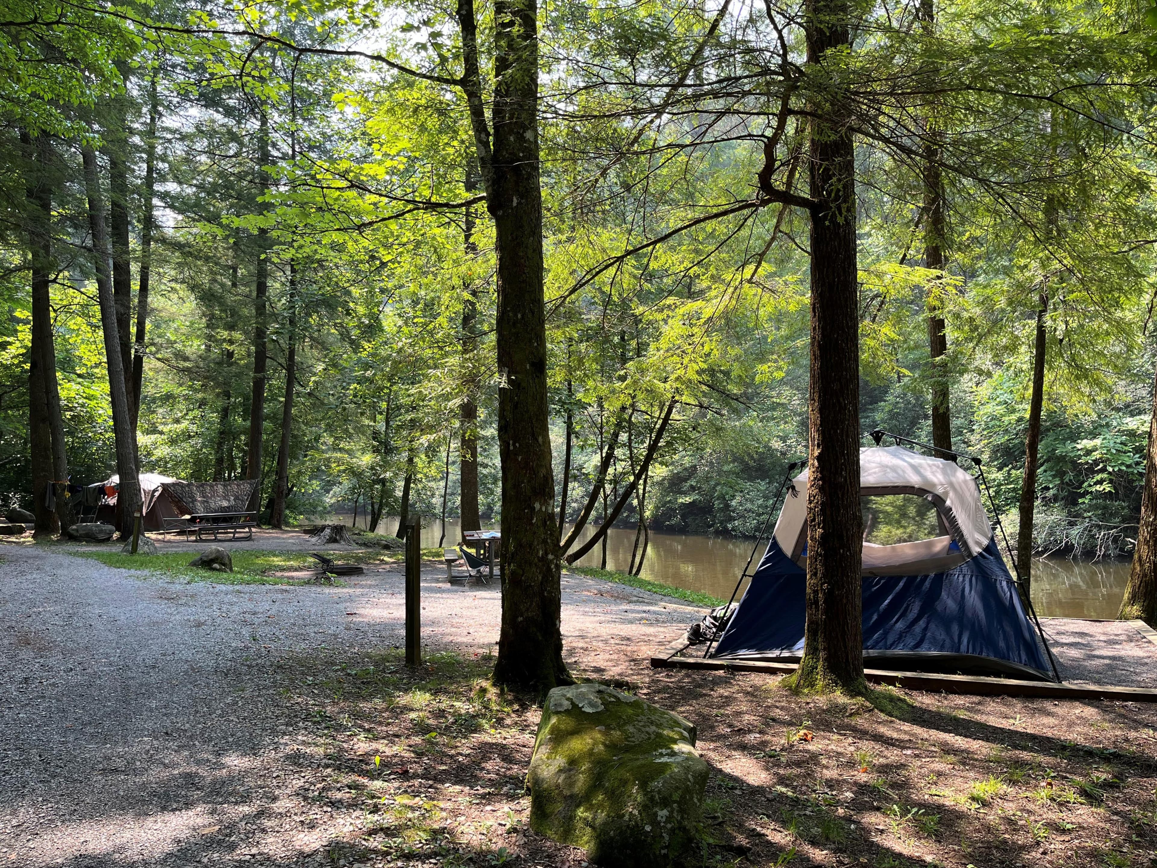
Abrams Creek Campground
Abrams Creek Campground is located beside beautiful Abrams Creek in a remote and secluded setting. With an elevation of 1,125 feet (343 m), the climate is moderate, characterized by mild winters and hot, humid summers. Flush toilets and drinking water are available. No hookups or showers are available at the campground.
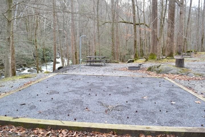
Big Creek Campground
Big Creek Campground is located beside the beautiful Big Creek in a remote and secluded setting. With an elevation of 1,700 feet (518 m), the climate is moderate, characterized by mild winters and hot, humid summers. Tent-only camping, flush toilets, and drinking water available. No hookups or showers are available at the campground.
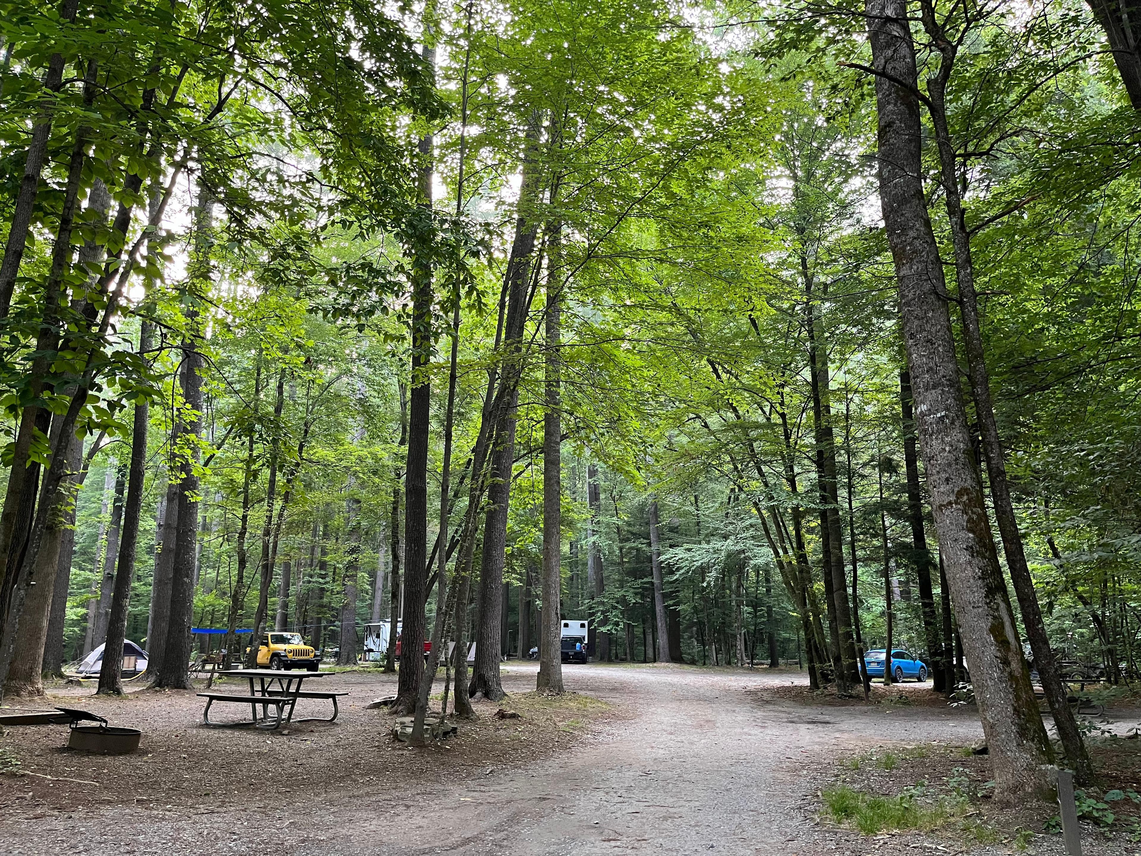
Cataloochee Campground
Cataloochee Campground is located in the historic Cataloochee Valley surrounded by mountain ranges and pristine streams. With an elevation of 2,610 feet (796 m), it is characterized by mild winters and hot, humid summers. It offers traditional camping with the convenience of flush toilets and drinking water. No hookups or showers are available in the campground.
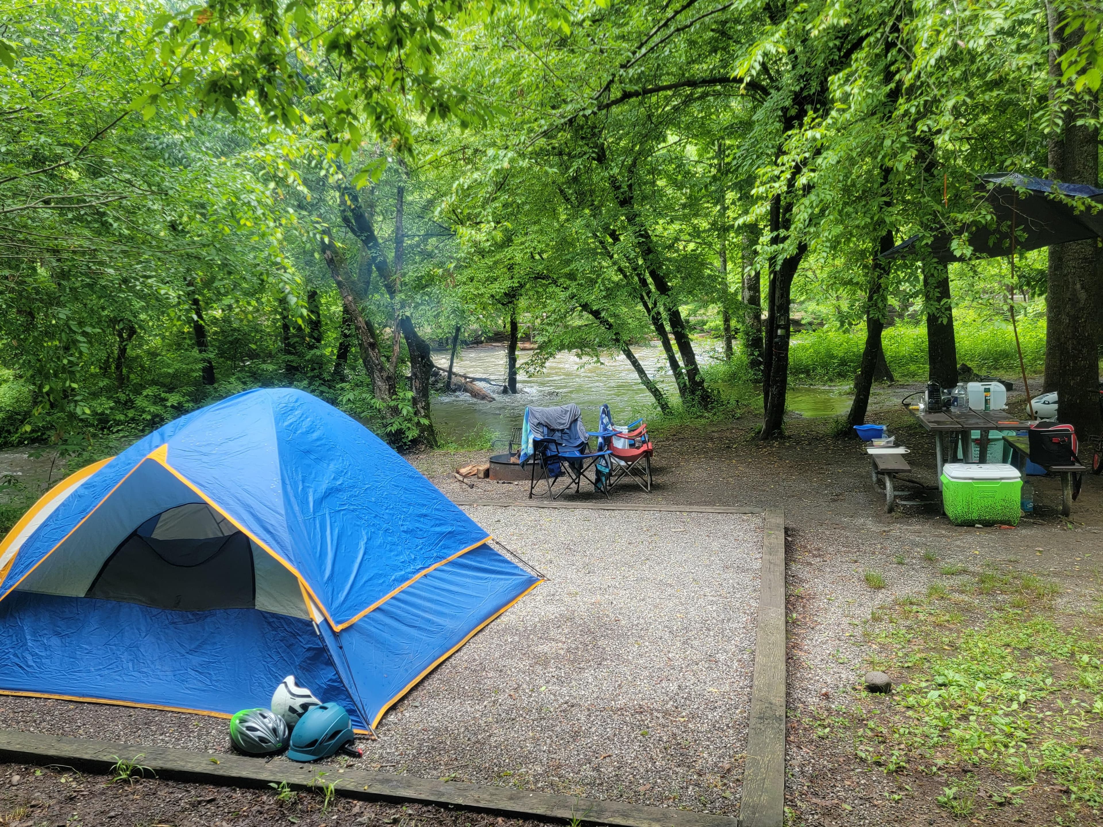
Deep Creek Campground
Deep Creek Campground is located next to one of the park's most popular creeks. With an elevation of 1,800 feet (549 m), the climate is characterized by mild winters and hot, humid summers. Whether blanketed in bright spring wildflowers or vivid fall colors, the scenery at Deep Creek never disappoints. Hookups and showers are not provided, but flush toilets and drinking water are available.
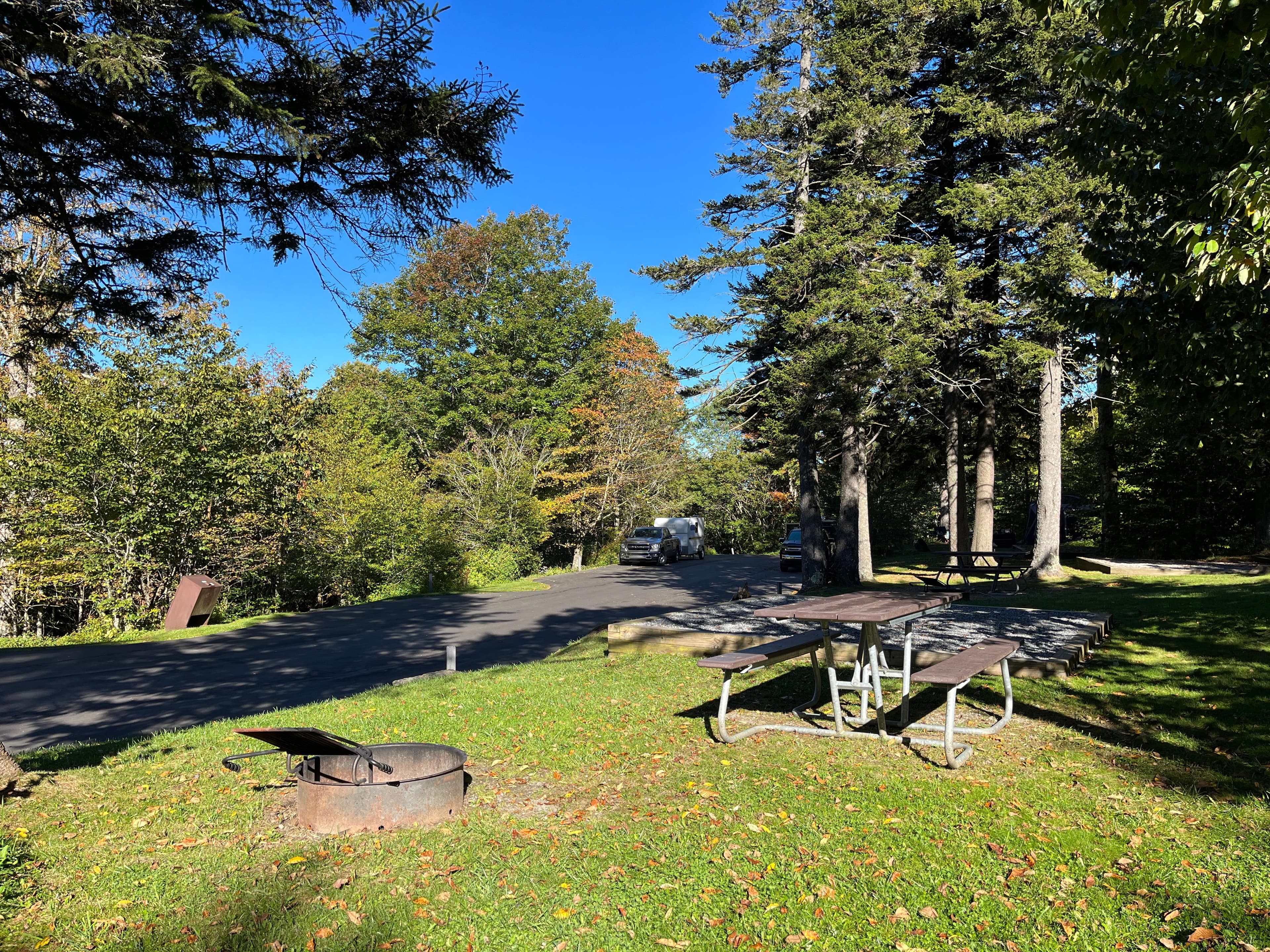
Balsam Mountain Campground
Balsam Mountain Campground is surrounded by mountain ranges and streams. With an elevation of 5,310 feet (1,618 m), summer daytime temperatures rarely exceed 70°F (~21°C) and lows may dip to 50°F (10°C). RV and tent sites plus flush toilets and drinking water are available. No hookups or showers are available at the campground and the restrooms do not have lights.
Elkmont Group Campground
These sites offers an ideal setting for group camping excursions and outdoor enthusiasts of all kinds.
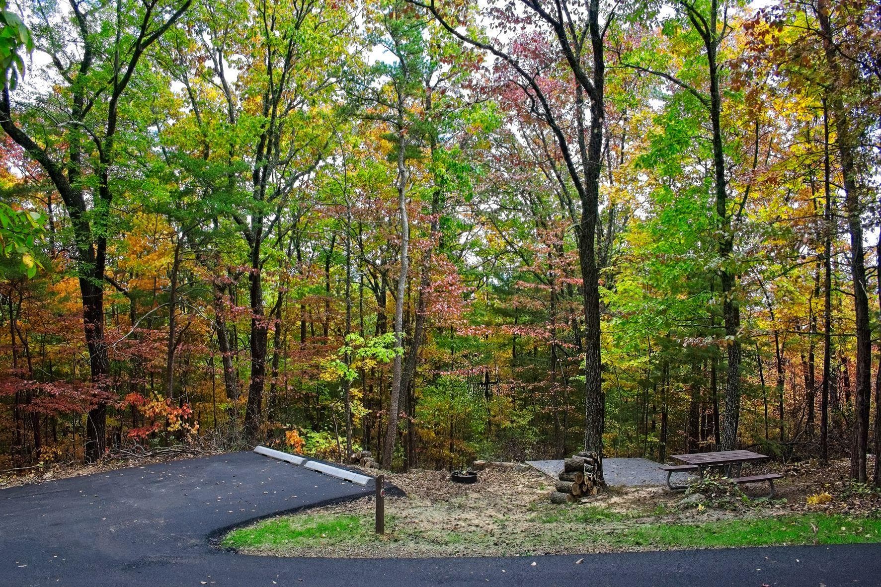
Look Rock Campground
Look Rock Campground is located along the beautiful Foothills Parkway West between Walland, Tennessee and Chilhowee Lake. With an elevation of 2,600 feet (792 m), the climate is characterized by mild winters and hot, humid summers. Flush toilets and drinking water are available. Ten of the sites offer electric and water hookups. No shower facilities are located in the campground.
Cades Cove Group Campground
Cades Cove combines the feel of primitive camping with the modern convenience of flush toilets and drinking water. A camp store provides visitors with basic necessities and bike rentals. Events like interpretive programs in the nearby amphitheater and bicycle-only days on the Cades Cove Loop Road provide visitors with a fun and unique experience.
Smokemont Group Campground
Smokemont Group Campground—open May 9–October 31, 2025—is the closest family campground to Oconaluftee Visitor Center in the South District of the park. At 2,198 feet (670 m), winters are mild and summers are hot and humid. Tent and RV campsites, flush toilets, and drinking water are available. No hookups or showers. America the Beautiful passes (not accepted in lieu of the parking tag for parking outside your campsite) are sold at the campground ranger station in summer & fall or online at the USGS store.
Parking & Access
Getting Here
Great Smoky Mountains National Park straddles the borders of the states of Tennessee and North Carolina. The three main entrances to the park are in Gatlinburg, TN; Townsend, TN; and Cherokee, NC.
Official NPS directionsParking Lots
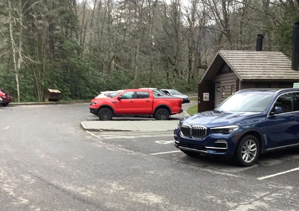
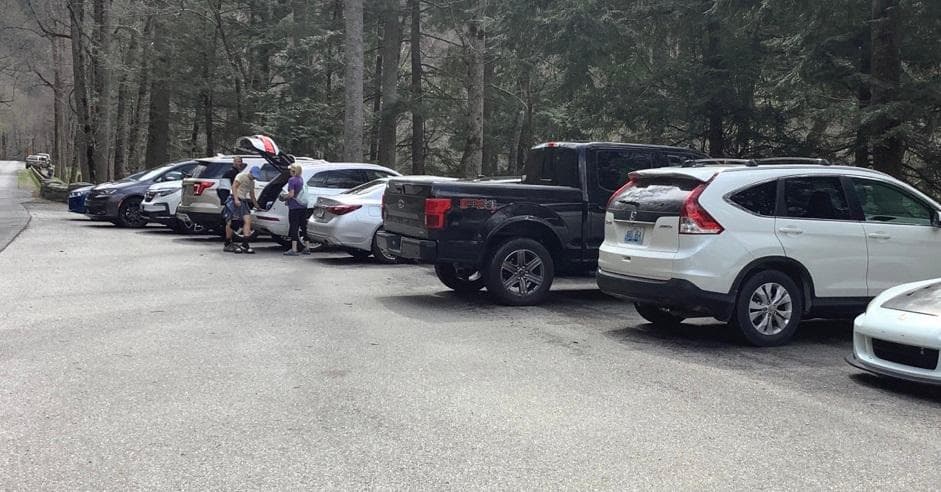
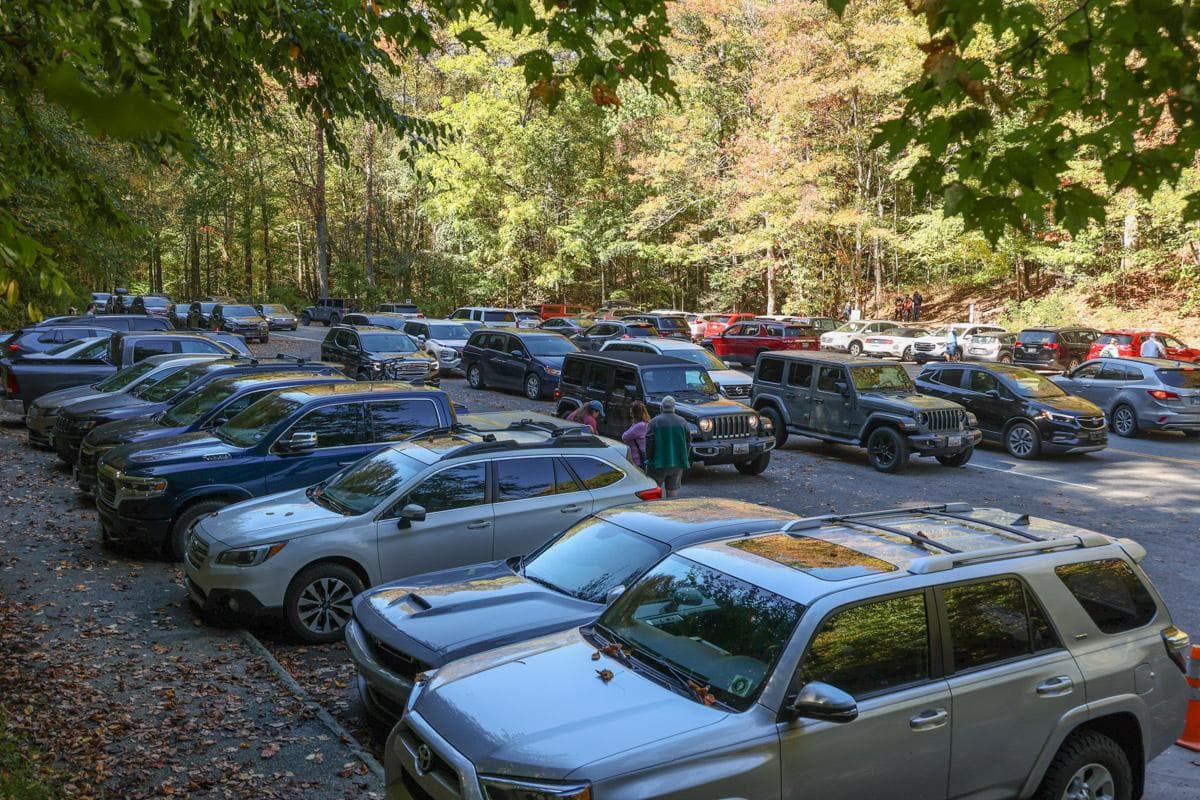
Laurel Falls Trailhead Parking Area
Laurel Falls Trailhead parking area also serves Sugarland Mountain Trailhead.
Open in Maps
Getting Here & Transit
How to Get Here
Great Smoky Mountains National Park straddles the borders of the states of Tennessee and North Carolina. The three main entrances to the park are in Gatlinburg, TN; Townsend, TN; and Cherokee, NC.
Park Amenities
Permits & Reservations
Permits may be required
Some activities in Great Smoky Mountains National Park — including backcountry camping, certain trails, and climbing routes — require advance permits. Check the official NPS website for current requirements before your visit.
Operating Hours
Great Smoky Mountains National Park
Primary roads are open 24 hours a day, seven days a week, year-round, weather permitting. This includes Newfound Gap Road (US-441), Little River Road, and Laurel Creek Road. Secondary roads are closed seasonally.
- MondayAll Day
- TuesdayAll Day
- WednesdayAll Day
- ThursdayAll Day
- FridayAll Day
- SaturdayAll Day
- SundayAll Day
Live Webcams
Click any camera to open the live feed on the NPS website.
Purchase Knob Webcam
Visit webcam page for current view.
Look Rock Webcam
Visit webcam page for current view.
Twin Creek Webcam
Twins Creek webcam
Newfound Gap Webcam
Located at high elevation in the center of the park, Newfound Gap webcam views to the South
Newfound Gap Webcam
Located at high elevation in the center of the park, Newfound Gap webcam views to the South
Kuwohi Webcam
Located at high elevation in the center of the park, Clingmans Dome webcam offers views to the west.
Photos
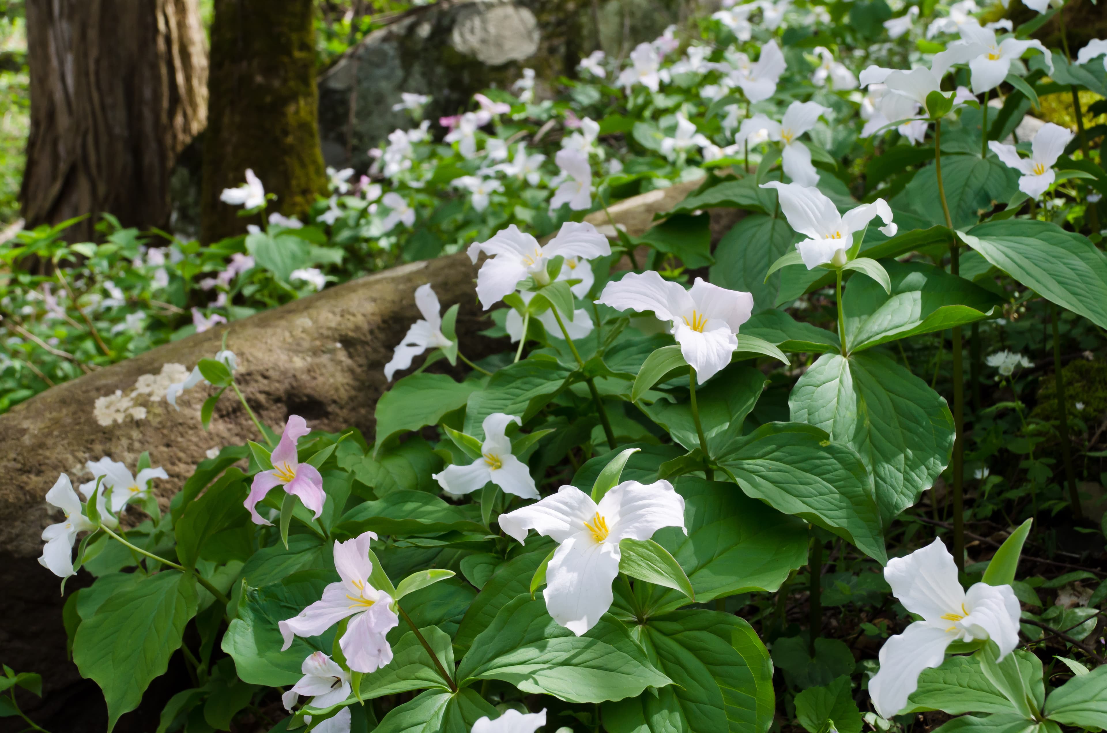
A hillside in the forest covered with white trillium flowers
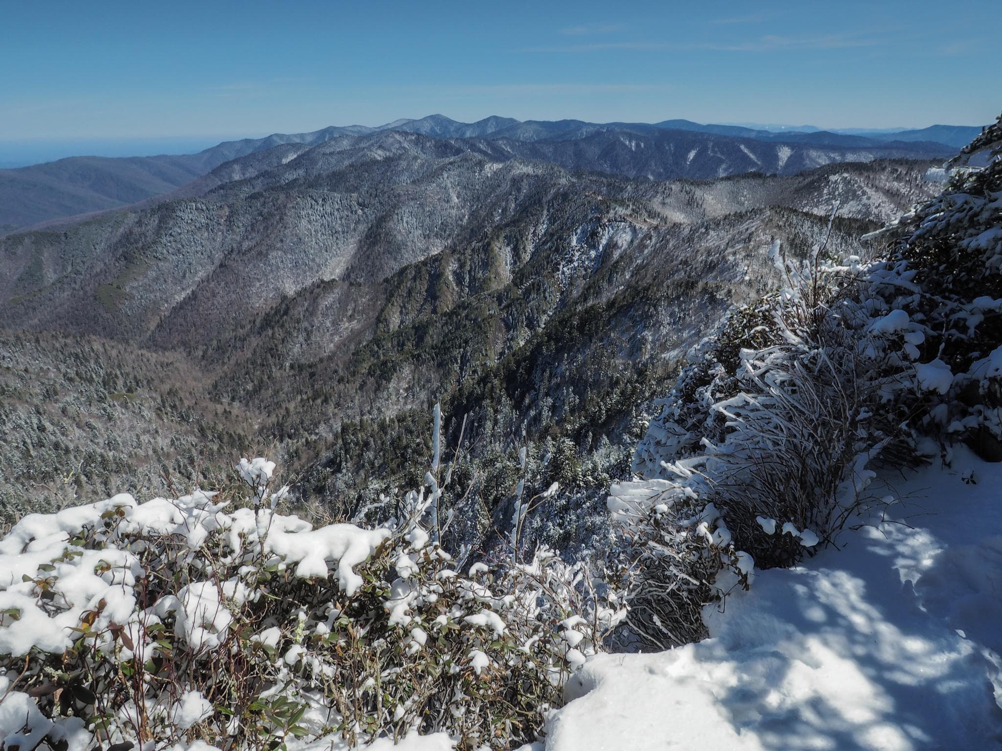
A clear sky with a vast snowy mountain scene.
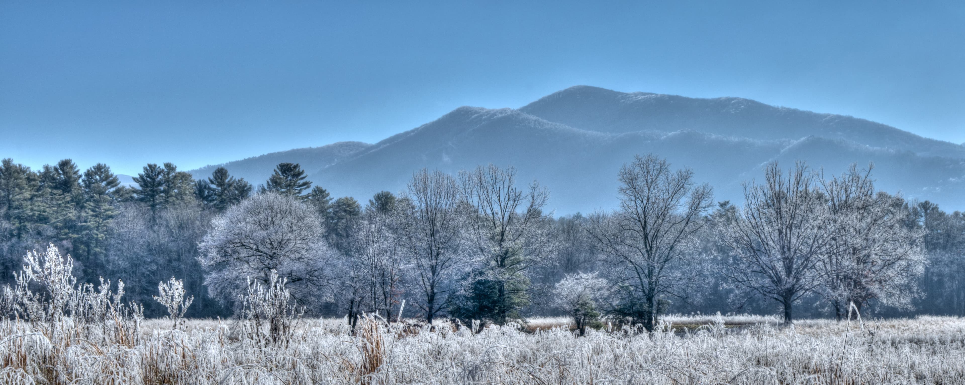
A thick layer of frost covers the fields, trees, and mountains in Cades Cove.
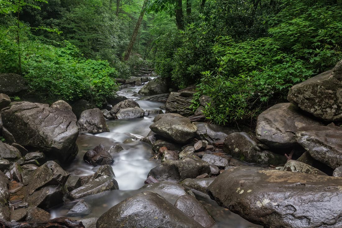
Rhododendron bushes line the banks of a stream filled with large boulders.
When to Go
Crowd CalendarPlan your trip around peak seasons to avoid crowds or embrace the energy of the busy months. Our crowd predictions are based on historical NPS Visitor Use Statistics.
Jan
Feb
Mar
Apr
May
Jun
Jul
Aug
Sep
Oct
Nov
Dec
Build your Great Smoky Mountains itinerary
Tell Miza your dates, pace, and interests—get a day-by-day plan with hikes, drives, and must-see stops.
Best Time
Year-round
Trip Length
2-4 days
Searching for the best hotel deals near Great Smoky Mountains National Park...
Planning Great Smoky Mountains
These common questions go deeper into logistics and planning. For real-time updates on road closures and current conditions, always check the Alerts section above.