
Entrance Fee
$35.00
/ Entrance - Private Vehicle
Park Hours (Today)
All Day
Grand Canyon Visitor Center (South Rim): 9:00AM - 4:00PM
Miza AI
Plan your Grand Canyon trip
About the Park
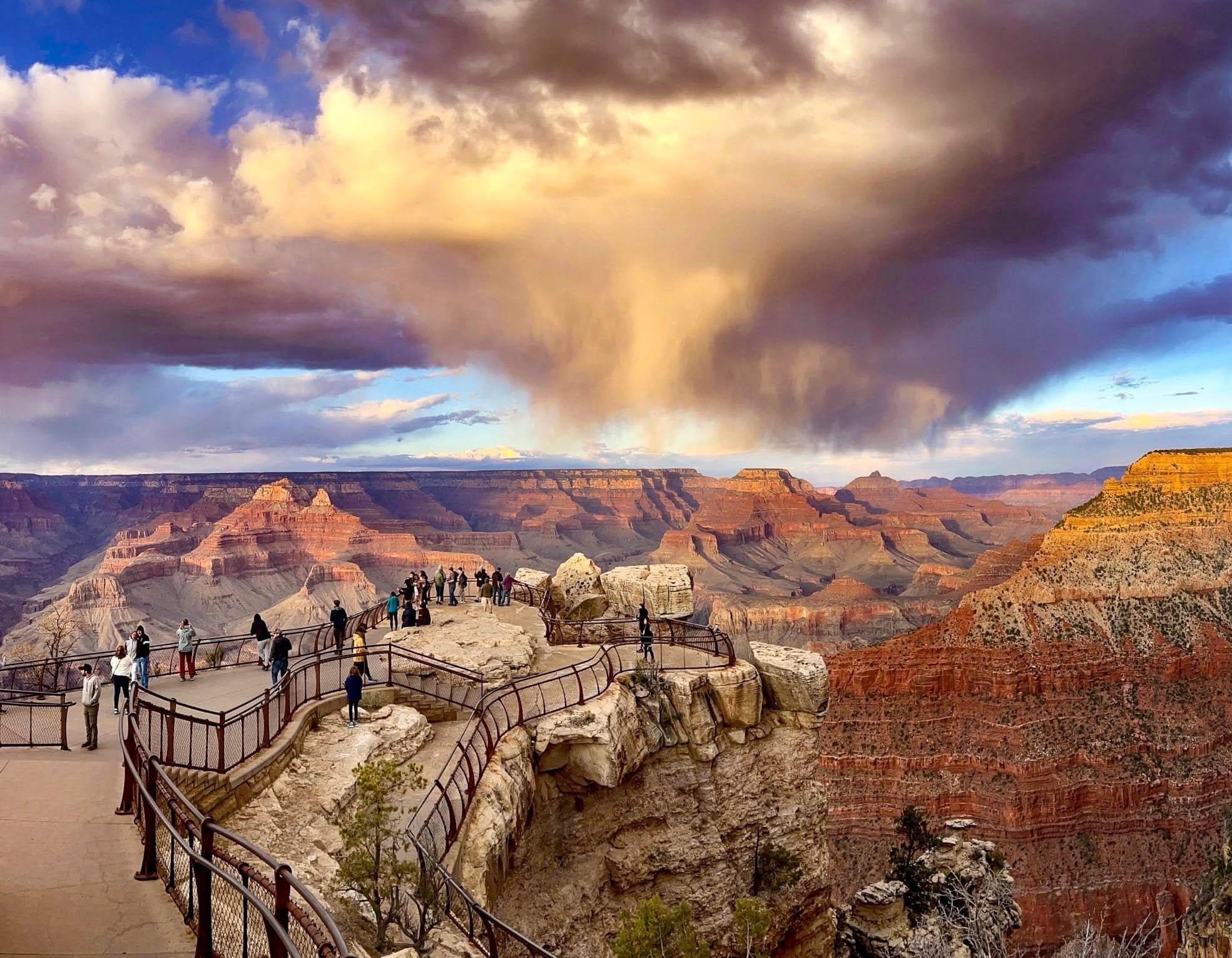
Entirely within the state of Arizona, the park encompasses 278 miles (447 km) of the Colorado River and adjacent uplands. Located on the ancestral homelands of 11 present day Tribal Communities, Grand Canyon is one of the most spectacular examples of erosion anywhere in the world—a mile deep canyon unmatched in the incomparable vistas it offers visitors from both north and south rims.

Ready to explore Grand Canyon National Park?
Take the stress out of planning. Our AI will automatically sequence your stops, find the best hotels, and optimize your driving time in seconds.
What to See & Do
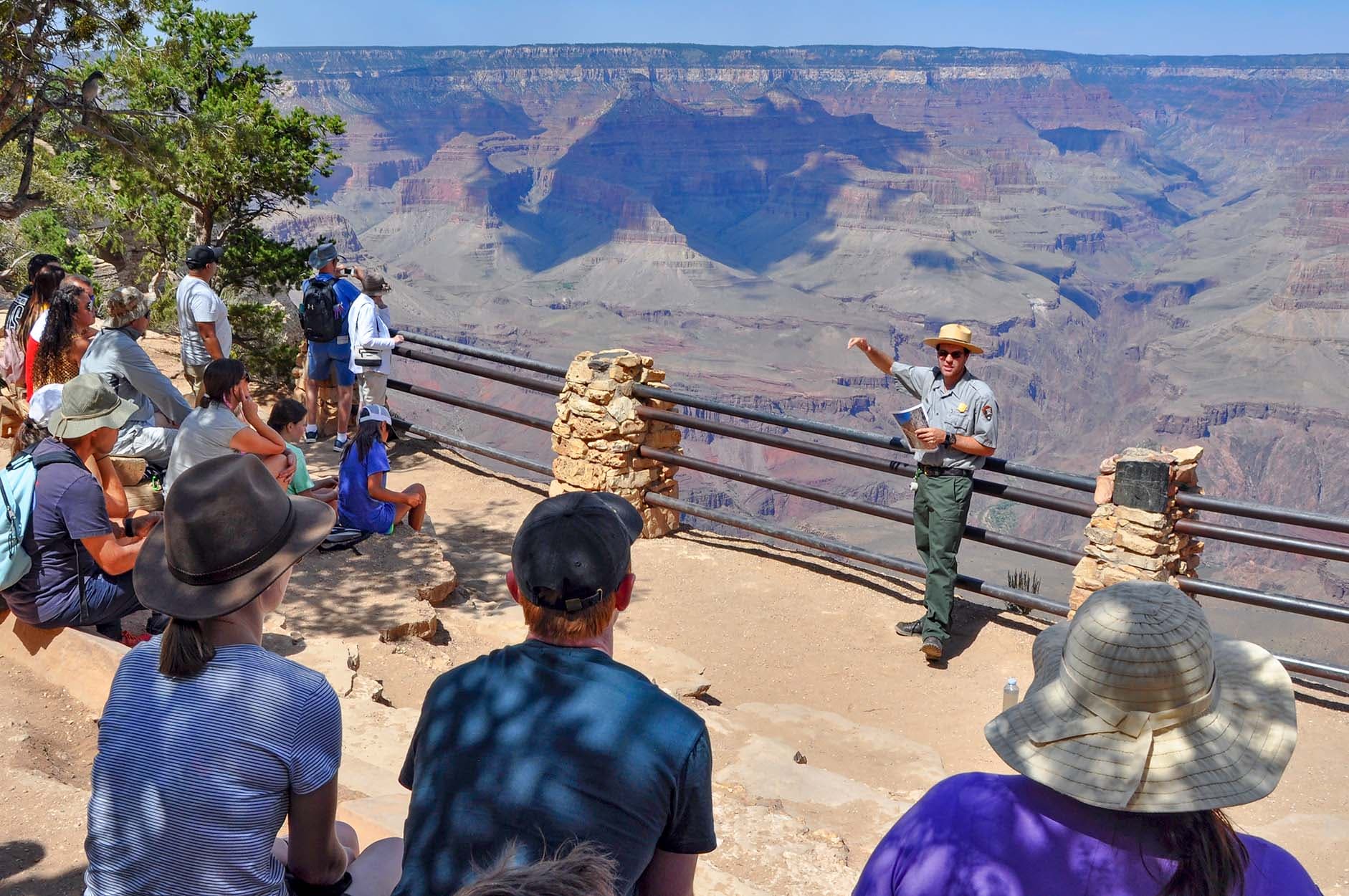
Geology Talk (30 minutes) South Rim Village: 2:00 pm
Geology Talk Ranger Program - 2:00 pm daily (during fall, 2026). Gain insight into Grand Canyon’s unique geologic story. Meet in front of Yavapai Geology Museum. Program duration: 30 minutes. Learn how this immense canyon formed and the science behind the landscape. Knowing some of the stories encoded in the rock layers will enrich your understanding and enhance your experience at Grand Canyon.
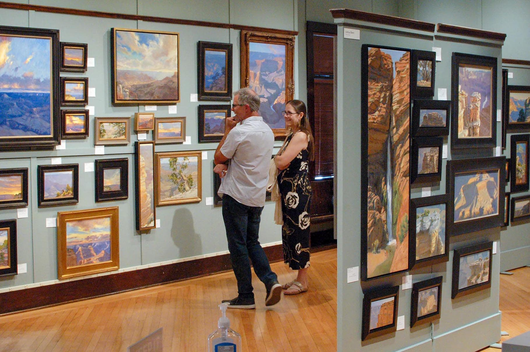
Grand Canyon Celebration of Art Exhibition 2026
The 2026 Grand Canyon Celebration of Art Exhibition is taking place this month at historic Kolb Studio in the South Rim Village Historic District. The show runs through March 31, 2027, —Or you may visit online.
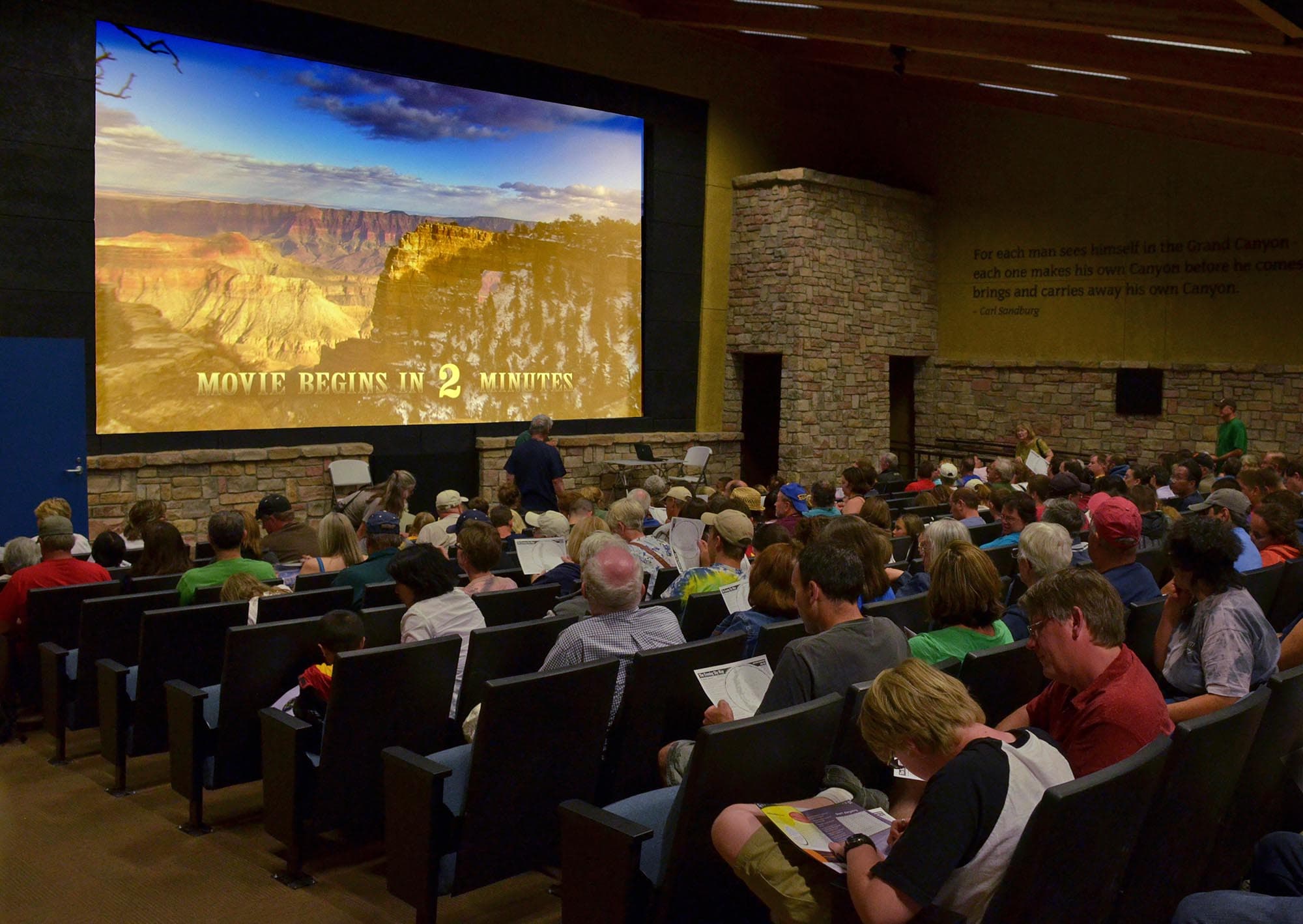
Park Films in the South Rim Visitor Center Theater
Park Films Are Shown Daily in the Visitor Center Theater. ►At the top of the hour, the 24-minute film, ‘We Are Grand Canyon’, welcomes visitors by sharing the heritage and viewpoints of the 11 tribal communities connected to the canyon. ►On the half hour, 'Grand Canyon - a Journey of Wonder', introduces the natural and human history of this special place —along with efforts to preserve and protect Grand Canyon as a sanctuary for plants, animals, and humans.
Self-Guided Tours
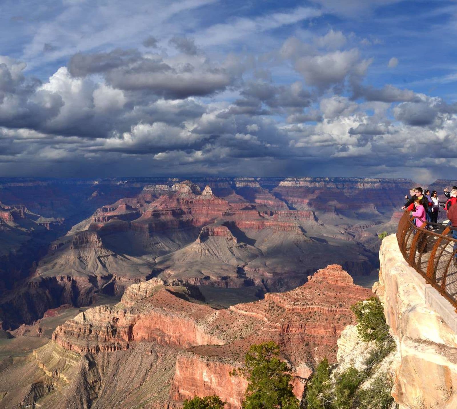
South Rim; The 1–2 hour visit.
While one can get lost for days on end at a place like Grand Canyon, we don't always have the time. Thankfully even a short trip to Grand Canyon can still yield some amazing views and life long memories. The following is our Ranger Recommended 1–2 visit for the South Rim that includes a short walk, and our free shuttle bus service, but remember that there is no wrong way to visit the canyon. Relax, enjoy the views, and thanks for visiting.
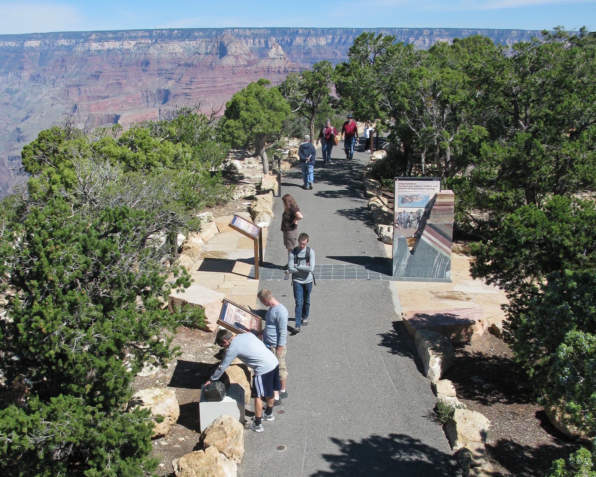
Grand Canyon Geology - The Trail of Time
The 1.3 mile (2.1 km) section of paved rim trail between Yavapai Geology Museum and Verkamp's Visitor Center features rock samples, fossils, interpretive waysides, and viewing aids to help you discover the geologic processes and the vast amounts of time involved in forming the Grand Canyon that we know and love today. While the trail can be walked in either direction this tour runs East to West, or from the most recent events to the most ancient. Adjust this tour to fit your needs.
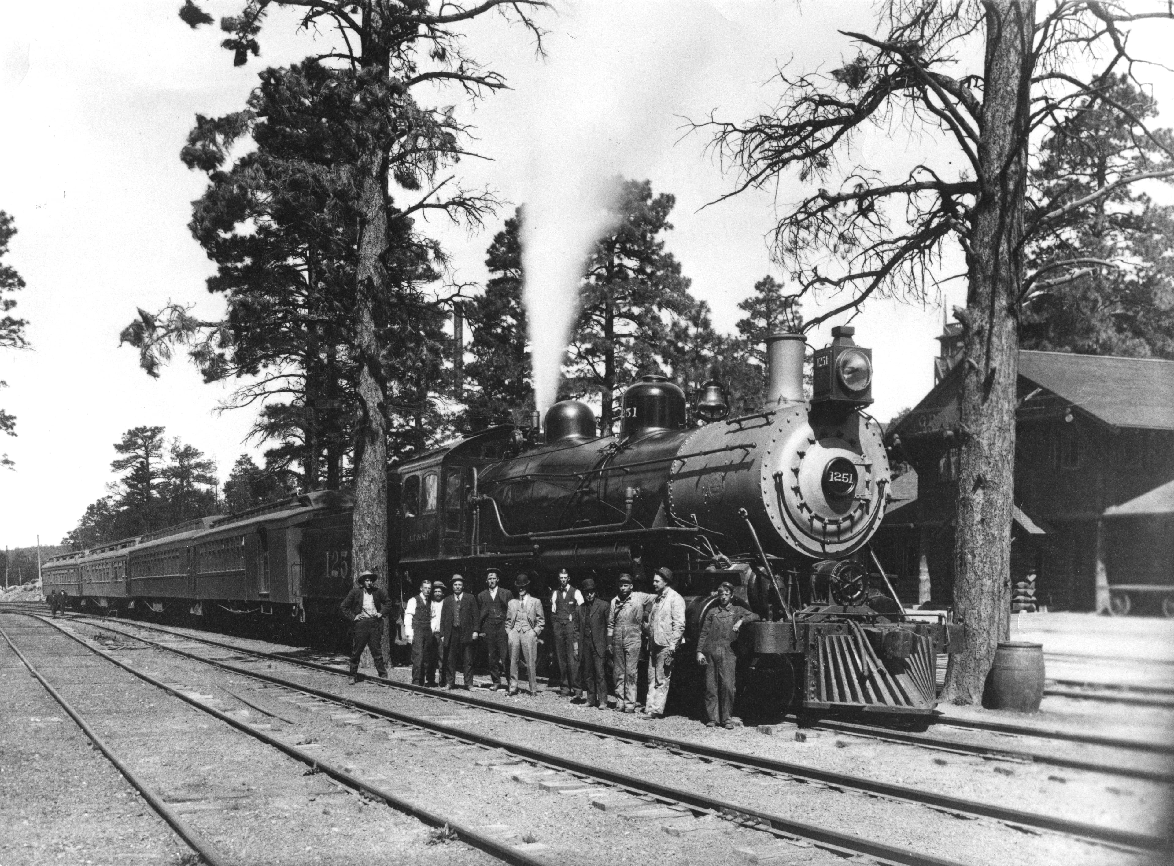
Full Steam Ahead: A Historic Village Tour
Journey through Grand Canyon's Historic Village. Explore buildings constructed over 100 years old, stories of the past, and consider Grand Canyon's future as tourism continues into the 21st century. Total walking distance is about half a mile throughout the village.
Visitor Centers
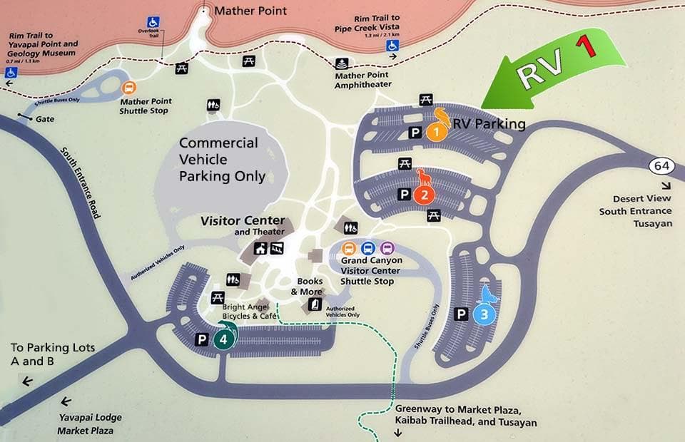
Grand Canyon Visitor Center (South Rim)
Trip planning and hiking information is available through exhibit kiosks and sidewalk signs outside of the building. Park in one of four large parking lots and get your first look at Grand Canyon by walking to nearby Mather Point. With your vehicle parked at the Visitor Center, you can also board free shuttle buses and be transported around the village and out to scenic overlooks.
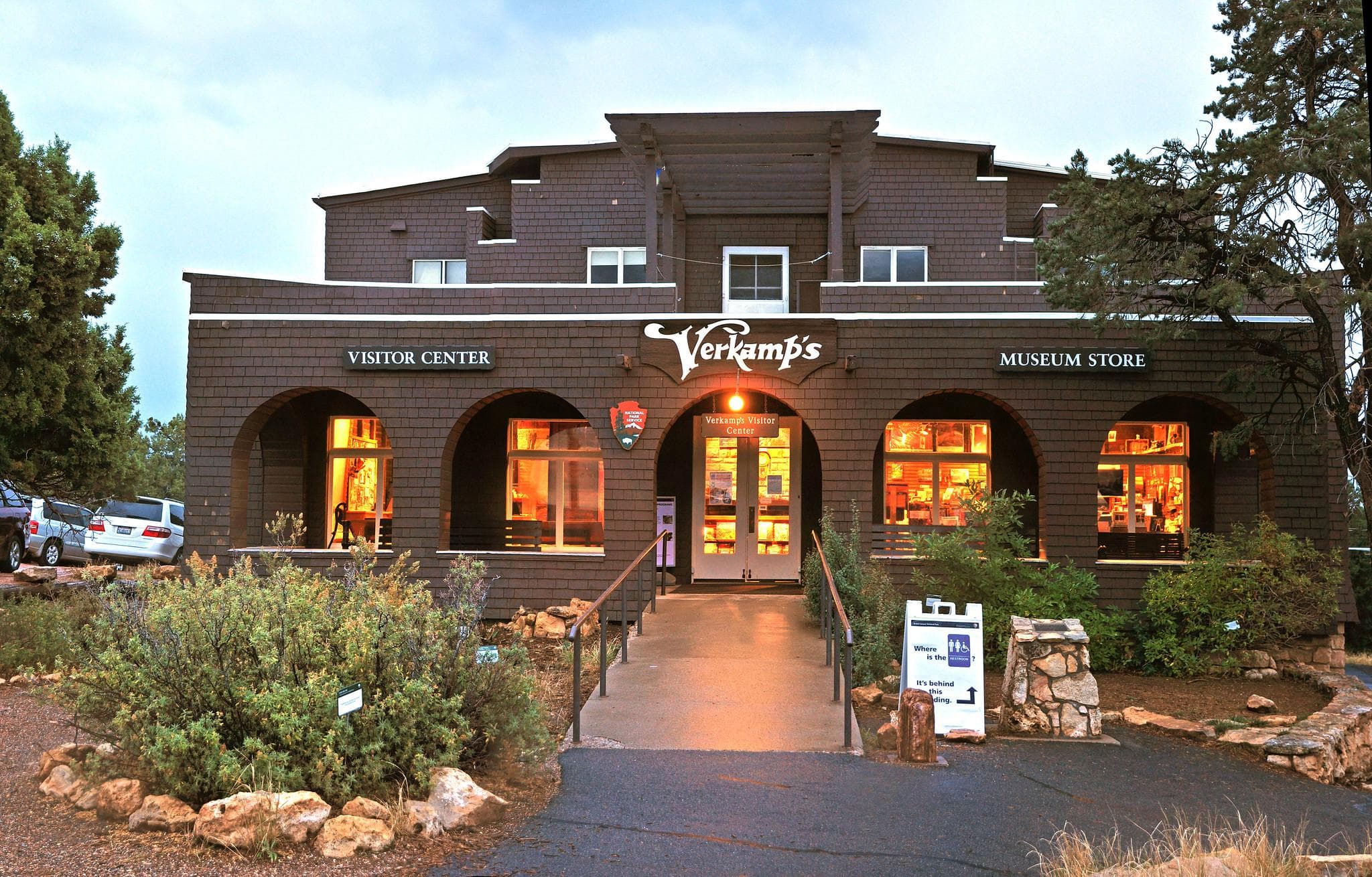
Verkamp's Visitor Center (South Rim)
In the Village Historic District, near Hopi House and El Tovar Hotel, Verkamp's Visitor Center features exhibits that focus on the Grand Canyon Community; what it was like to live and work here on the brink of one of the seven natural wonders. A staffed information desk and a Grand Canyon Conservancy Museum Store are also located here. Public restrooms are available in a separate building behind the Visitor Center.
Where to Stay
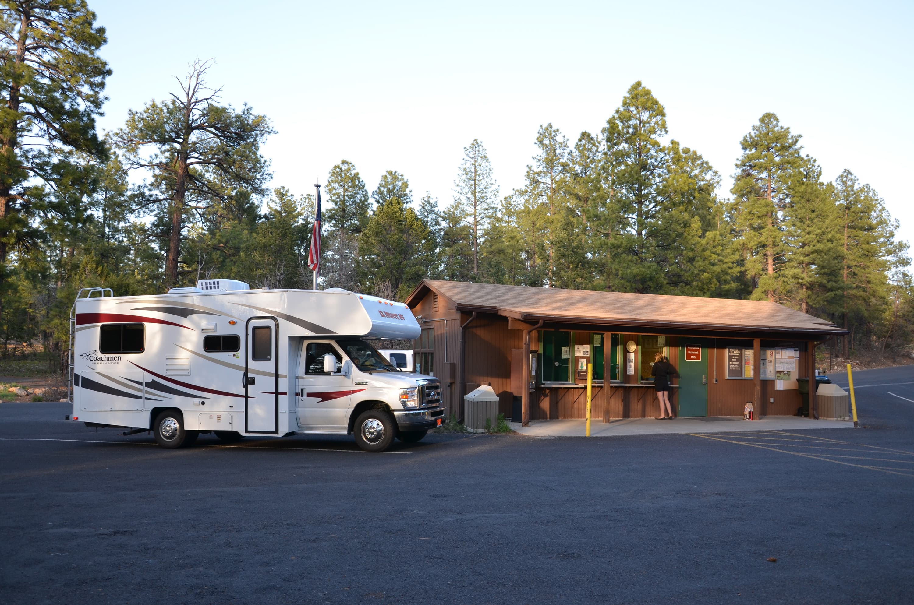
Mather Campground - South Rim
Mather Campground is located in Grand Canyon Village on the South Rim of Grand Canyon National Park. There are 327 sites. Only dry camping is currently permitted due to Stage 4 water restrictions. Spigot access and bathroom faucets are turned off. No fires are currently allowed on the South Rim and inner canyon areas. Fire restrictions prohibit all wood burning and charcoal fires. No hookups are available, however there is a free dump station. Most RV spaces are pull-through.
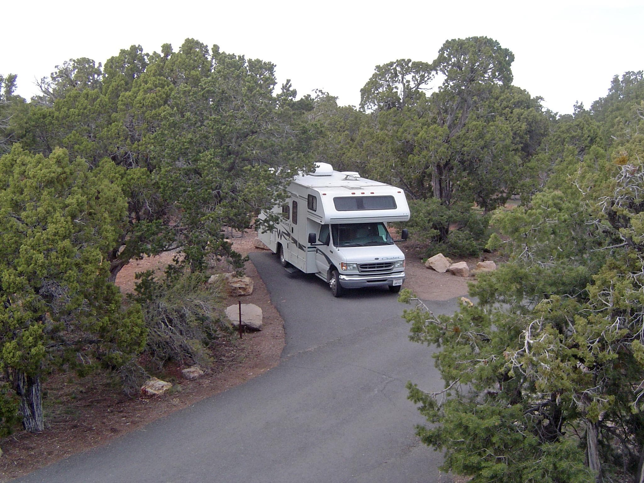
Desert View Campground (Reservations Required)
At the East Entrance, Desert View Campground offers a peaceful setting with 49 campsites. 30 feet (9.1 m) combined total length is the maximum length for RVs or vehicles pulling travel trailers. Campsites are available by reservation only at www.recreation.gov and can be made up to 6 months in advance, Sat. April 11, through the night of Sun. October 18, 2026. Make reservations online or call (877-444-6777). It is possible to make same day call-in and/or online reservations.
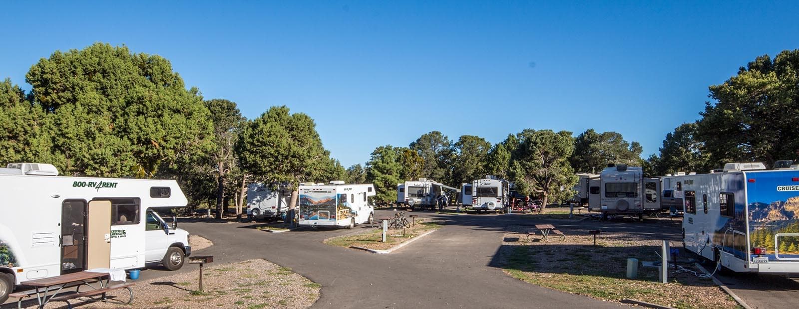
Trailer Village RV Park - South Rim
CLOSED as of August 31, 2026 due to Stage 4 water restrictions.
Parking & Access
Getting Here
South Rim: Open all year, is located 60 miles north of Williams, Arizona (via route 64 from Interstate 40) and 80 miles northwest of Flagstaff (via route 180). Grand Canyon lies entirely within the state of Arizona. ---- North Rim: Select areas are open to public access between Oct 1 and Nov 14. View the park's news releases for details. The North Rim entrance station is located 30 miles south of Jacob Lake, AZ, on Highway 67; the actual rim of the canyon is an additional 14 miles south.
Official NPS directionsParking Lots
Desert View Parking Lot
This is the only parking area for Desert View. It is split into two lots. As you enter Desert View, the lot on the right is for cars only. The lot of the left is for buses and RVs.
Open in MapsDuck on a Rock Parking Lot
Located on Desert View Drive at mile marker 246, this unmarked parking lot is just east of Yaki Point.
Open in MapsGrandview Point Parking Lot
Located along Desert View Drive, this parking lot and viewpoint offers panoramic views of Grand Canyon from east to west, including several bends of the Colorado River to the east. This parking lot is located in between Moran Point and Duck on a Rock overlook. The historic Grandview Trail begins here.
Open in MapsHermit's Rest Parking Lot
This lot is at the end of Hermit's Rest Road. It starts as a small paved lot. There is a dirt road that leads to a larger dirt lot with more spaces. Hermit's Rest Road is closed to private vehicles March through November. It is open to private vehicles December to February. If you park in this parking lot, do not block Shuttle Bus Service.
Open in MapsLipan Point Parking Lot
Located on Desert View Drive, the parking area is west of the Desert View Watchtower. From this viewpoint can be seen several points of interest. Hance Rapid is one of the many powerful whitewater rapids along the Colorado River. Unkar Delta was once home to ancestral Puebloan people and is the site of active archeological study. The Grand Canyon Supergroup is a unique rock strata at Grand Canyon, visible to this extent from only a few places on the South Rim.
Open in MapsMohave Point Parking Lot
This is a pull through lot designed for oversize vehicles. Mohave Point is located along Hermit Road. Hermit Road is closed to private vehicles March through November. During that time, the road is only accessible via shuttle bus, walking, or biking. Hermit Road is open to private vehicles November through February. If parking here, do not block the shuttle bus stop.
Open in MapsMoran Point Parking Lot
Located along Desert View Drive, west of the Desert View Watchtower, in between the Tusayan Museum and Grandview Point. It is a small parking lot with an overlook. There are three main rock groups visible from this parking lot.
Open in MapsNavajo Point Parking Lot
Just a few minutes west of the Desert View Watchtower, this viewpoint offers a great view of the watchtower as well as panoramic vistas to the west and a view north up the Colorado River. Navajo Point is the highest overlook on the South Rim - unless one is standing on the top observation deck of the watchtower itself. The top of the tower measures slightly higher.
Open in MapsNo Name Parking Lot
A small, unmarked parking lot west of Desert View. It is located between Lipan Point and the Tusayan Pueblo Archaeology Site at mile marker 263.
Open in MapsNorth Rim Campground Parking Lot
This parking lot is located at the end of a side road the leads to the North Rim Campground, general store, and other facilities. Follow signs to reach the North Rim Campground to reach this parking lot. It is usually empty earlier in the day but fills up later in the day.
Open in MapsParking Lot 1 - South Rim Visitor Center
As you drive into the Grand Canyon Village area from the South Entrance Station, or from Desert View Drive, (Hwy 64) signs will direct you to the Visitor Center Parking Lot Complex. As you approach from this direction, the four Visitor Center parking lots are numbered 1–4. Lot 1 is the closest of the four lots to Grand Canyon views, and is the only visitor center parking with pull-through spaces for RVs and vehicles with trailers, but is the second furthest from the visitor center itself.
Open in MapsParking Lot 2 - South Rim Visitor Center
As you drive into the Village area from the South Entrance Station, or from Desert View Drive, (Hwy 64) signs will direct you to the Visitor Center Parking Lot Complex. As you approach from this direction, the four Visitor Center parking lots are numbered, starting with Lot 1. Lot 2 is the second lot, and is closer to the visitor center, visitor center plaza, and bus transit center. There are no RV spaces in Lot 2.
Open in MapsParking Lot 3 - South Rim Visitor Center
As you drive into the Grand Canyon Village area from the South Entrance Station, or from Desert View Drive, (Hwy 64) signs will direct you to the Visitor Center Parking Lot Complex. As you approach from this direction, the four Visitor Center parking lots are numbered 1–4. Lot 3 is the third lot, and is the furthest away from the visitor center, visitor center plaza, and bus transit center. There are no RV spaces in Lot 3.
Open in MapsParking Lot 4 - South Rim Visitor Center
As you drive into the Grand Canyon Village area from the South Entrance Station, or from Desert View Drive, (Hwy 64) signs will direct you to the Visitor Center Parking Lot Complex. As you approach from this direction, the four Visitor Center parking lots are numbered 1–4. Lot 4 is the closest of the four lots to the visitor center and visitor center plaza. It is the second closest lot to the bus transit center. There are no RV spaces in Lot 4.
Open in MapsParking Lot A - Grand Canyon Village
As you drive into the Grand Canyon Village area from the South Entrance Station, or from Desert View Drive, (Hwy 64) signs will direct you towards the Grand Canyon Village. Located near Park Headquarters, which is currently closed to the public. Across the street from Market Plaza. Doesn't tend to fill. Does NOT have space for RVs or vehicles with trailers.
Open in MapsParking Lot B - Grand Canyon Village
As you drive into the Grand Canyon Village area from the South Entrance Station, or from Desert View Drive, (Hwy 64) signs will direct you towards the Grand Canyon Village. Located near the businesses in Market Plaza. This is the largest lot and has space for RVs and vehicles with trailers. Tends to fill in early afternoon. The Post Office, bank, General Store and Yavapai Lodge are located here.
Open in MapsParking Lot C - Grand Canyon Village
As you drive into the Grand Canyon Village area from the South Entrance Station, or from Desert View Drive, (Hwy 64) signs will direct you towards the Grand Canyon Village. This small lot in the village, near the intersection of Center and Village Loop Roads may have parking spots when others lots are filled. Does NOT have space for RVs or vehicles with trailers
Open in MapsParking Lot D - Grand Canyon Village
As you drive into the Grand Canyon Village area from the South Entrance Station, or from Desert View Drive, (Hwy 64) signs will direct you towards the Grand Canyon Village. This is a large lot near the Backcountry Information Center in the Village. May have parking spots when others lots are filled. The southern portion of this lot has large, pull-through spaces for RVs and vehicles with trailers.
Open in MapsPima Point Parking Lot
This is a very small lot located along Hermit Road. Hermit Road is closed to private vehicles March through November. During that time it is only accessible via shuttle bus, walking, or biking. Hermit Road is open to private vehicles December through February. If you park here, make sure you are not blocking the shuttle bus operations.
Open in MapsPipe Creek Vista Parking Lot
This is the first parking lot along Desert View Drive if coming from the west. If coming from the east, this is the last parking lot along Desert View Drive. This pullout can be accessed by private vehicle or by using the free Kaibab Rim Route (Orange) Shuttle Bus, departing from the Grand Canyon Visitor Center. The Canyon Rim Trail may be accessed here, with a 1.3 mile / 2.1 km walk on a paved trail west to Mather Point, or a 0.8 mile / 1.3 km walk east to the South Kaibab Trailhead.
Open in MapsGetting Here & Transit
How to Get Here
South Rim: Open all year, is located 60 miles north of Williams, Arizona (via route 64 from Interstate 40) and 80 miles northwest of Flagstaff (via route 180). Grand Canyon lies entirely within the state of Arizona. ---- North Rim: Select areas are open to public access between Oct 1 and Nov 14. View the park's news releases for details. The North Rim entrance station is located 30 miles south of Jacob Lake, AZ, on Highway 67; the actual rim of the canyon is an additional 14 miles south.
Park Amenities
Permits & Reservations
Permits may be required
Some activities in Grand Canyon National Park — including backcountry camping, certain trails, and climbing routes — require advance permits. Check the official NPS website for current requirements before your visit.
Entrance Fees & Passes
Standard Fees
Entrance - Private Vehicle
$35.00Admits one single, private, non-commercial vehicle and all its passengers, up to a 15 person passenger van. Organized non-commercial groups over 16 passengers require different charges. Commercial groups are not eligible for the vehicle permit.
Entrance - Motorcycle
$30.00Valid for 7 days. Admits up to 2 private, non-commercial motorcycles with up to 4 total passengers.
Entrance - Per Person
$20.00Individual ($20 valid for 7 days): for bicyclists, hikers, and pedestrians.
Nonresident
$100.00Each non-US resident aged 16 and older visiting Grand Canyon National Park must pay a $100 nonresident fee (in addition to the standard entrance fee), unless admitted with an Annual or America the Beautiful Pass. This includes nonresidents entering as part of a commercial tour group, commercial use authorization (CUA) group, or concessioner tour group.
Annual & Lifetime Passes
Annual Entrance - Park
$70.00Available to the general public for purchase for unlimited visits to Grand Canyon National Park only. This is an annual pass, valid one year from month of purchase; it is non-transferable. It admits the pass holder and any accompanying persons in a single, private, non-commercial vehicle, or the pass holder and accompanying immediate family (spouse, children, parents) when entry is by other means (train, shuttle, bicycle, or foot).
Operating Hours
South Rim - South Entrance
Both Desert View (East Entrance) and South Entrance are Open 24 hours/day and 7 Days/week. Credit cards, and America the Beautiful passes are accepted for entry. Cash is not accepted at this time. The South Entrance Station, near Tusayan, Arizona, receives the most traffic, an experiences long lines and up to 2 hour wait times between 9:30 am and 4 pm. The East Entrance at Desert View - 32 miles east of the village (accessed via US 89 to Cameron, AZ, then west on SR 64, usually has shorter wait times.
- MondayAll Day
- TuesdayAll Day
- WednesdayAll Day
- ThursdayAll Day
- FridayAll Day
- SaturdayAll Day
- SundayAll Day
Live Webcams
Click any camera to open the live feed on the NPS website.
South Entrance Station
Use this webcam to help time your South Rim arrival and to check winter road conditions. During spring break, summer, and fall weekends, there can be long lines with up to two hour wait times between 10 am and 4 pm. This view refreshes every minute. The entrance station is about 1.6 miles (2.5 km) north of the gateway town of Tusayan, Arizona, and 4.9 miles (7.8 km) south of Grand Canyon Visitor Center, Check that the time and date are current (upper left in the photo).
San Francisco Peaks
Webcam courtesy of the National Weather Service office in Bellemont, Arizona. In the distance, the San Francisco Peaks with Mount Humphreys at 12,633 feet (3,850 m) above sea level, the highest point in the state of Arizona. Bellemont is located along Interstate 40, 13.6 miles (22 Km) west of Flagstaff, Arizona.
State Route 64 (Mile 213.9)
The view is from Valle, Arizona, near the junction of US 180 (from Flagstaff) and SR 64 (from Williams) The location is also called "Grand Canyon Junction". The South Rim of Grand Canyon National Park is 26 miles (41 km) north of this location. This webcam is provided by of Arizona Dept of Transportation 511. The image updates every 15 minutes. Always check the date/time in the image to be sure it is recent.
Flagstaff, Arizona — I-40
This camera shows the current weather, traffic and road conditions at Mile 199.6 of Interstate 40 —one of the main highways travelers use to reach Grand Canyon National Park. Webcam courtesy Arizona Dept. of Transportation 511. The image updates every 15 minutes. Always check the date/time in the image to be sure it is recent.
Live View From Kolb Studio
In this north-facing view, the Battleship is in the center, and Havasupai Gardens (formerly known as Indian Garden) is visible - lower right, 3000 feet (915 m) below. Kolb Studio was the family home and photography studio of the Kolb Brothers, pioneer photographers at Grand Canyon. Verify that the time and date of the picture is current (upper left in image) Camera is hosted by Grand Canyon Conservancy. The image updates every minute.
State Route 64 (Mile 235.15)
This webcam is located just south of the town of Tusayan, Arizona, at the intersection of Arizona State Route 64 with the north entrance road to Grand Canyon Airport. This intersection is 2.56 miles (4.12 km) from the park's South Entrance Station, or a total of 7.6 miles (12.23 km) from this location to the Grand Canyon Visitor Center, inside the park. This webcam is provided by the Arizona Dept. of Transportation 511. The image updates every 15 minutes. Always check the date/time in the image to be sure it is recent.
Yavapai Point — Looking NW
The view is from Yavapai Point on the South Rim of the park. The view refreshes every 15 minutes. Grand Canyon National Park's Air Quality Webcam offers a window into the current sights, weather, air quality and seasonal changes that the park is experiencing. Click on the photo and check the date to be sure the image is current. Additional weather and air quality information will be displayed on the same page.
Live View from Kolb Studio
Please verify that the time and date of the picture is current (upper right in the photo) In this north-facing view, the Battleship formation is in the center, and Havasupai Gardens (formerly known as Indian Garden) is visible - lower right, 3000 feet (915 m) below. Kolb Studio was the family home and photography studio of the Kolb Brothers, pioneer photographers at Grand Canyon.
Photos
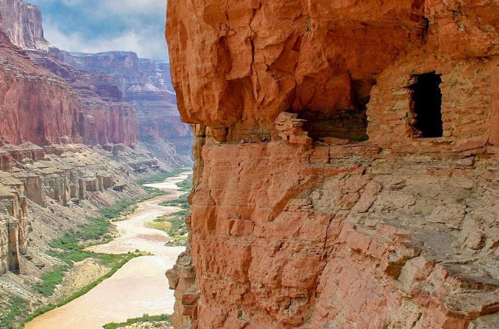
a small ancestral masonry storage room in a cliff above a muddy river.
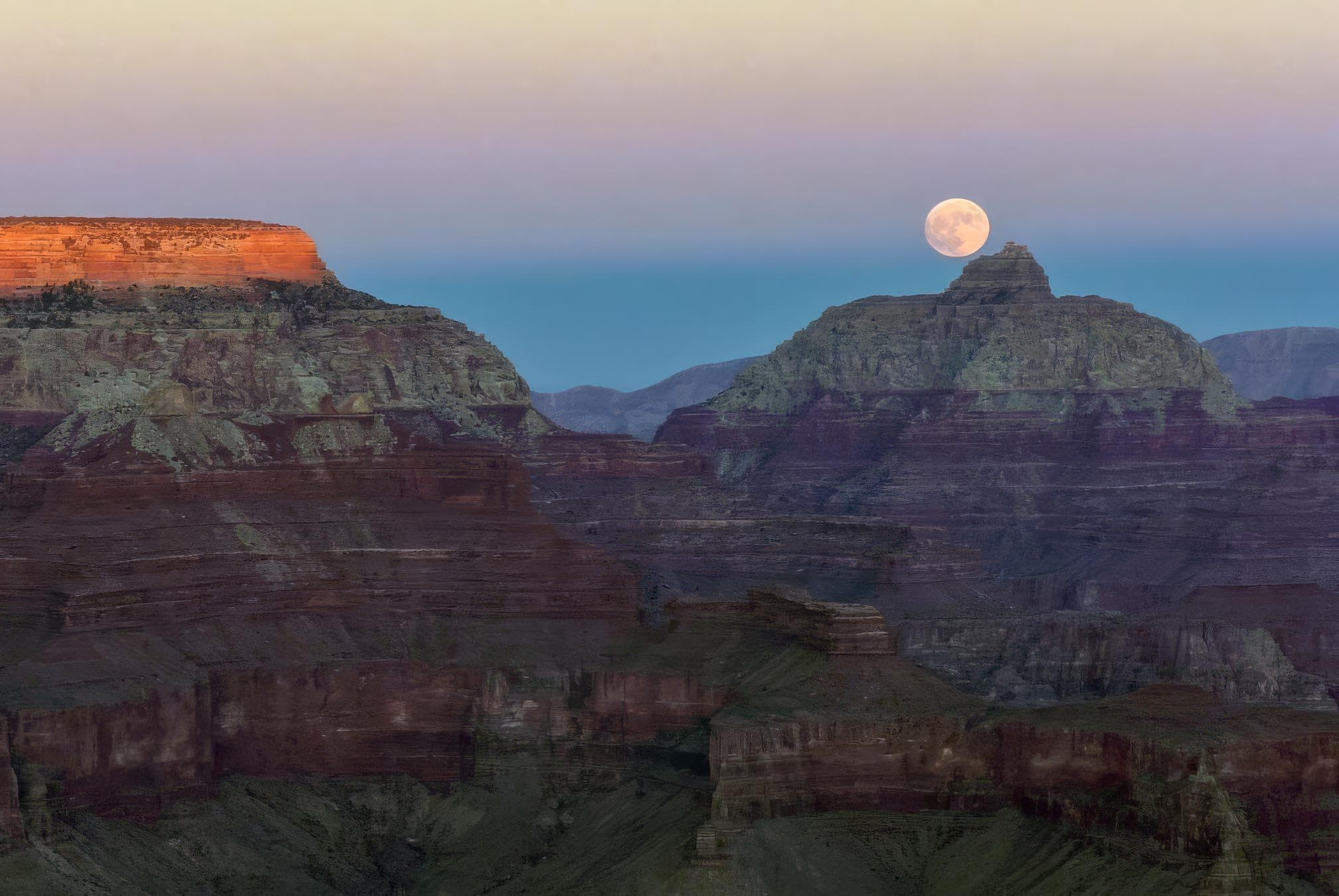
The last glow of sunset across the canyon rim with a full moon rising above a pointed peak
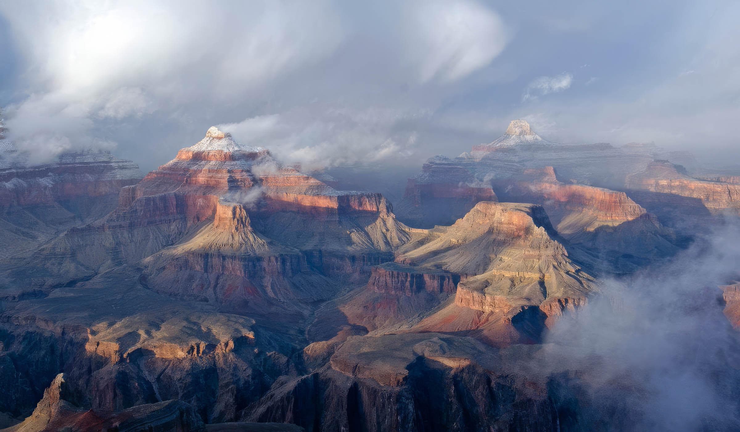
winter clouds and fog passing around a snow covered promentary within a vast mile deep canyon
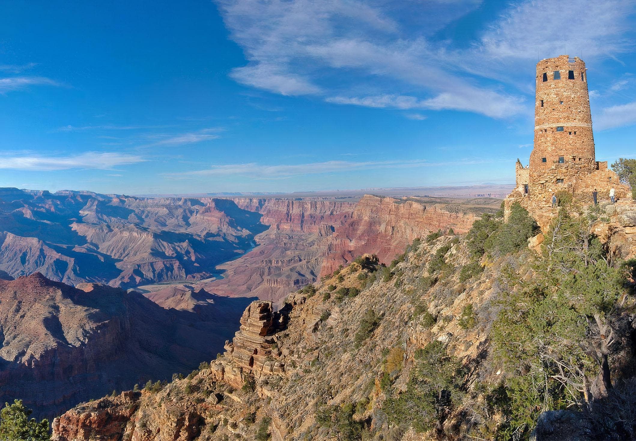
A cylindrical, stone tower, 70 feet (21 m) is on the edge of a vast, mile-deep canyon
When to Go
Crowd CalendarPlan your trip around peak seasons to avoid crowds or embrace the energy of the busy months. Our crowd predictions are based on historical NPS Visitor Use Statistics.
Jan
Feb
Mar
Apr
May
Jun
Jul
Aug
Sep
Oct
Nov
Dec
Build your Grand Canyon itinerary
Tell Miza your dates, pace, and interests—get a day-by-day plan with hikes, drives, and must-see stops.
Best Time
May-September
Trip Length
2-4 days
Searching for the best hotel deals near Grand Canyon National Park...
Planning Grand Canyon
These common questions go deeper into logistics and planning. For real-time updates on road closures and current conditions, always check the Alerts section above.