
Entrance Fee
$30.00
/ Entrance - Private Vehicle
Park Hours (Today)
All Day
Escalante Interagency Visitor Center: Closed
Miza AI
Plan your Glen Canyon trip
About the Park
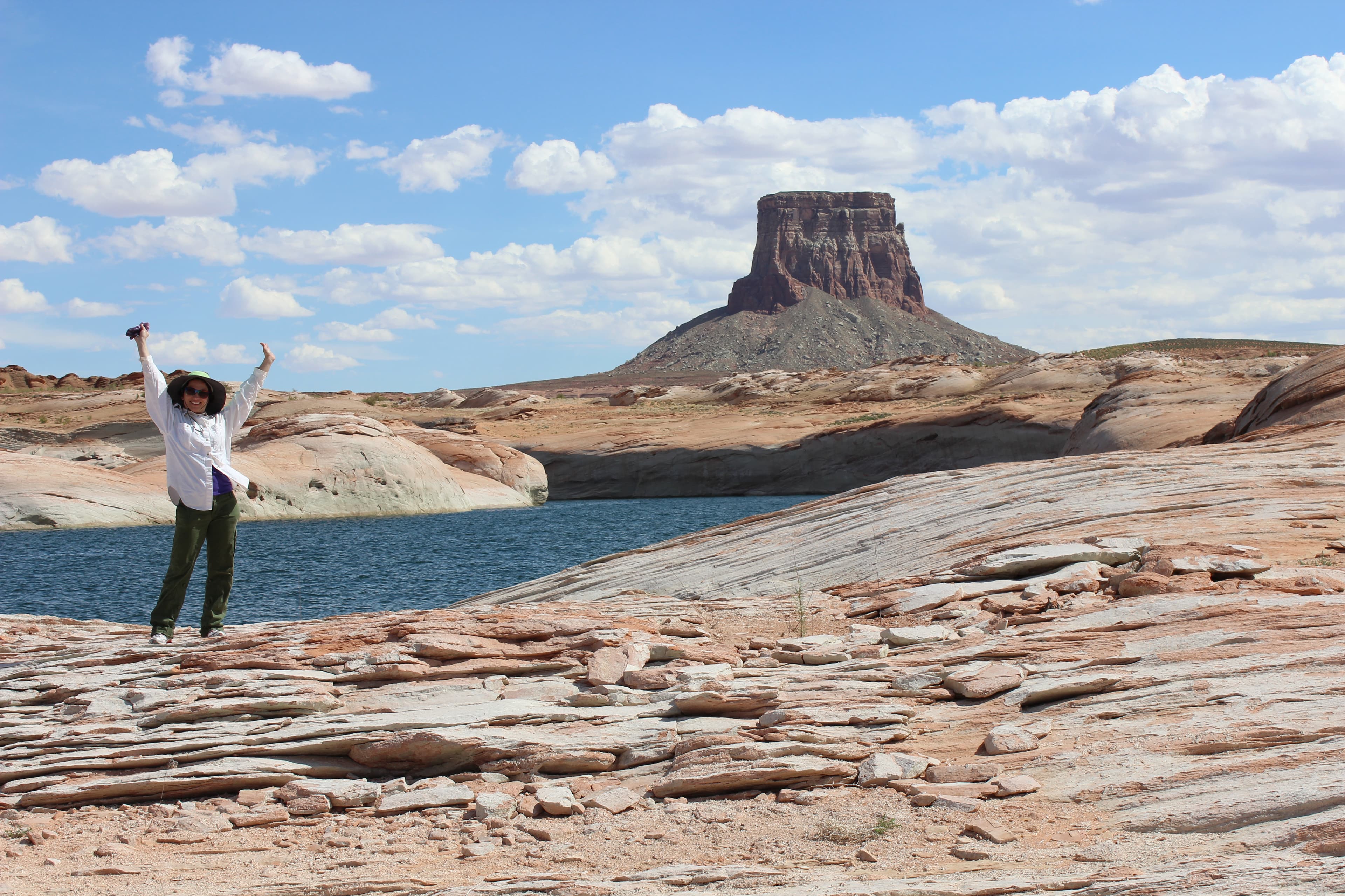
Encompassing over 1.25 million acres, Glen Canyon National Recreation Area offers unparalleled opportunities for water-based & backcountry recreation. The recreation area stretches for hundreds of miles from Lees Ferry in Arizona to the Orange Cliffs of southern Utah, encompassing scenic vistas, geologic wonders, and a vast panorama of human history.

Ready to explore Glen Canyon National Recreation Area?
Take the stress out of planning. Our AI will automatically sequence your stops, find the best hotels, and optimize your driving time in seconds.
What to See & Do
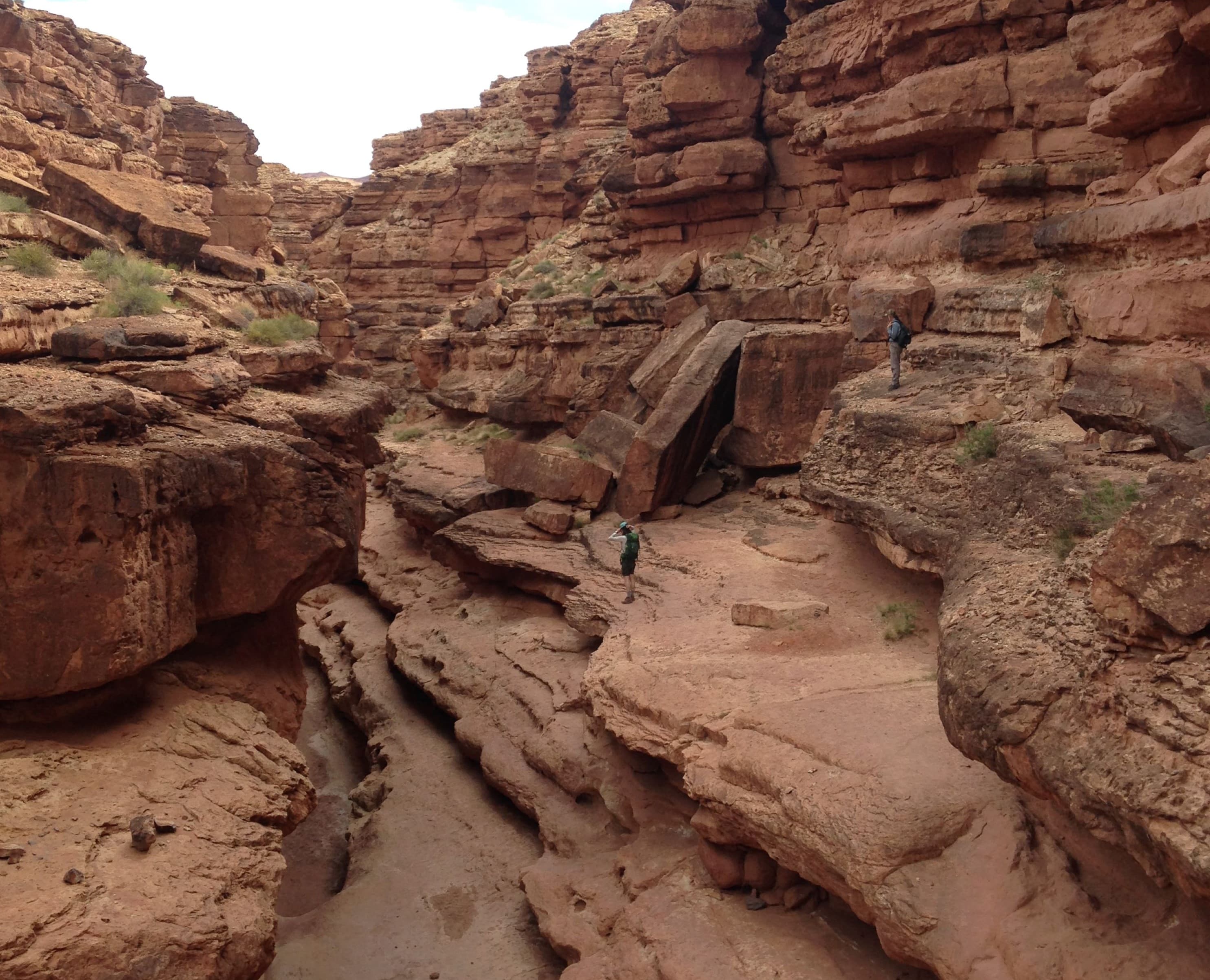
Scramble down Cathedral Wash Trail
Follow Cathedral Wash trail as it climbs down to meet the Colorado River on its sandy bank. The 3 miles (4.8 km) round-trip challenging hike descend into the rocky wash, traveling through the Kaibab Limestone and Toroweap Formations of the Grand Canyon Group. Some rock scrambling required.
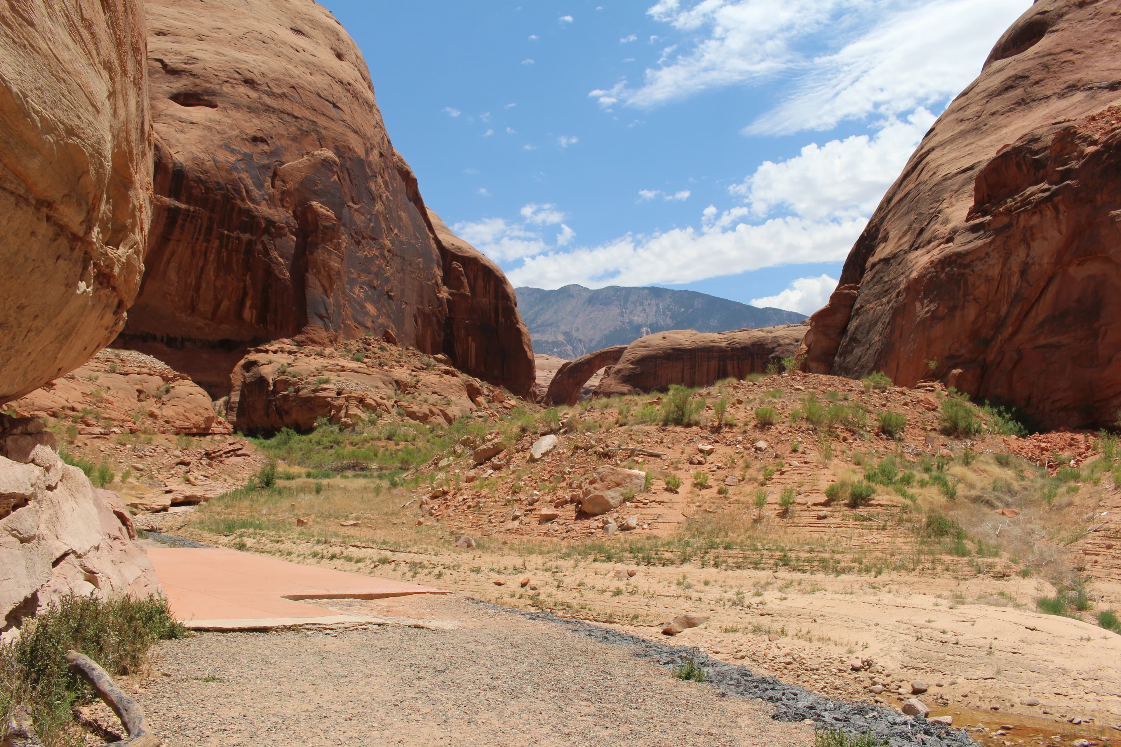
From Your Boat To The Bridge
There is one designated trail within the boundaries of Rainbow Bridge National Monument. It runs the length of the monument, from the boat dock on one side, to the border with the Navajo Nation on the other. We ask that you stay on this trail when you visit Rainbow Bridge for your safety and out of respect for the local Native American tribes that hold this place special to them.
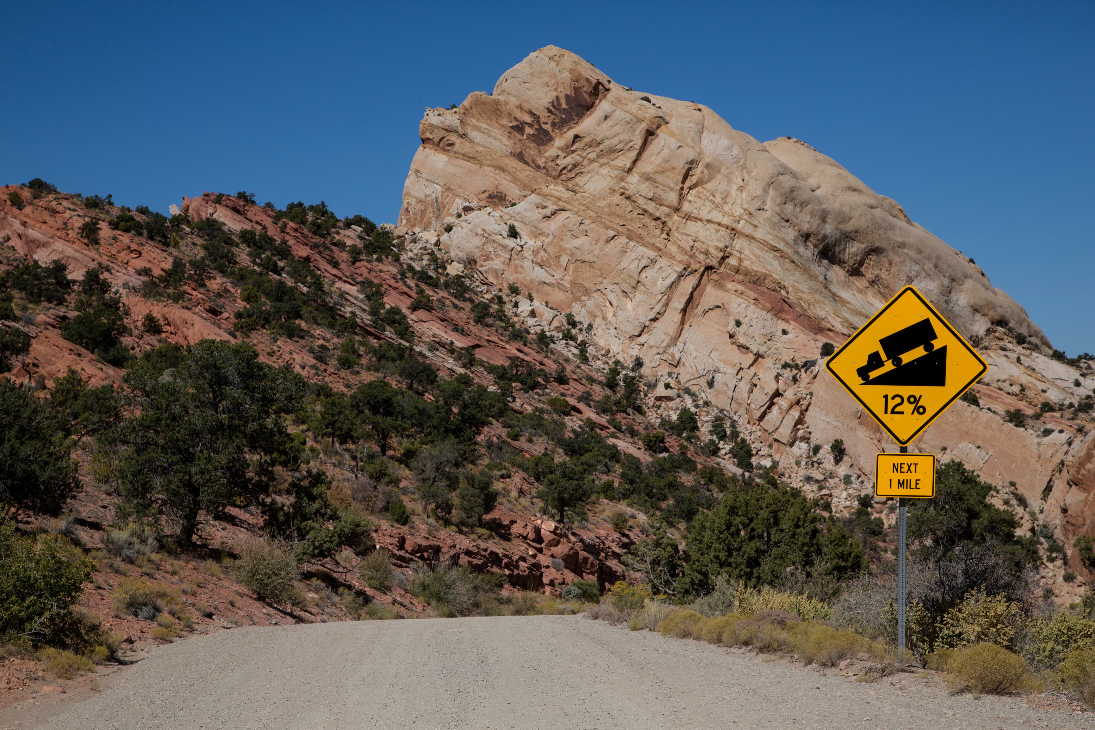
Driving the Burr Trail
Drive the scenic Burr Trail from Glen Canyon's Bullfrog district, along the bottom of Capitol Reef, through Grand Staircase, to Boulder, UT. Distance: 67 miles (108 km) one-way Mix of paved and dirt roads, impassable when wet Four-wheel drive sometimes required. No RVs.
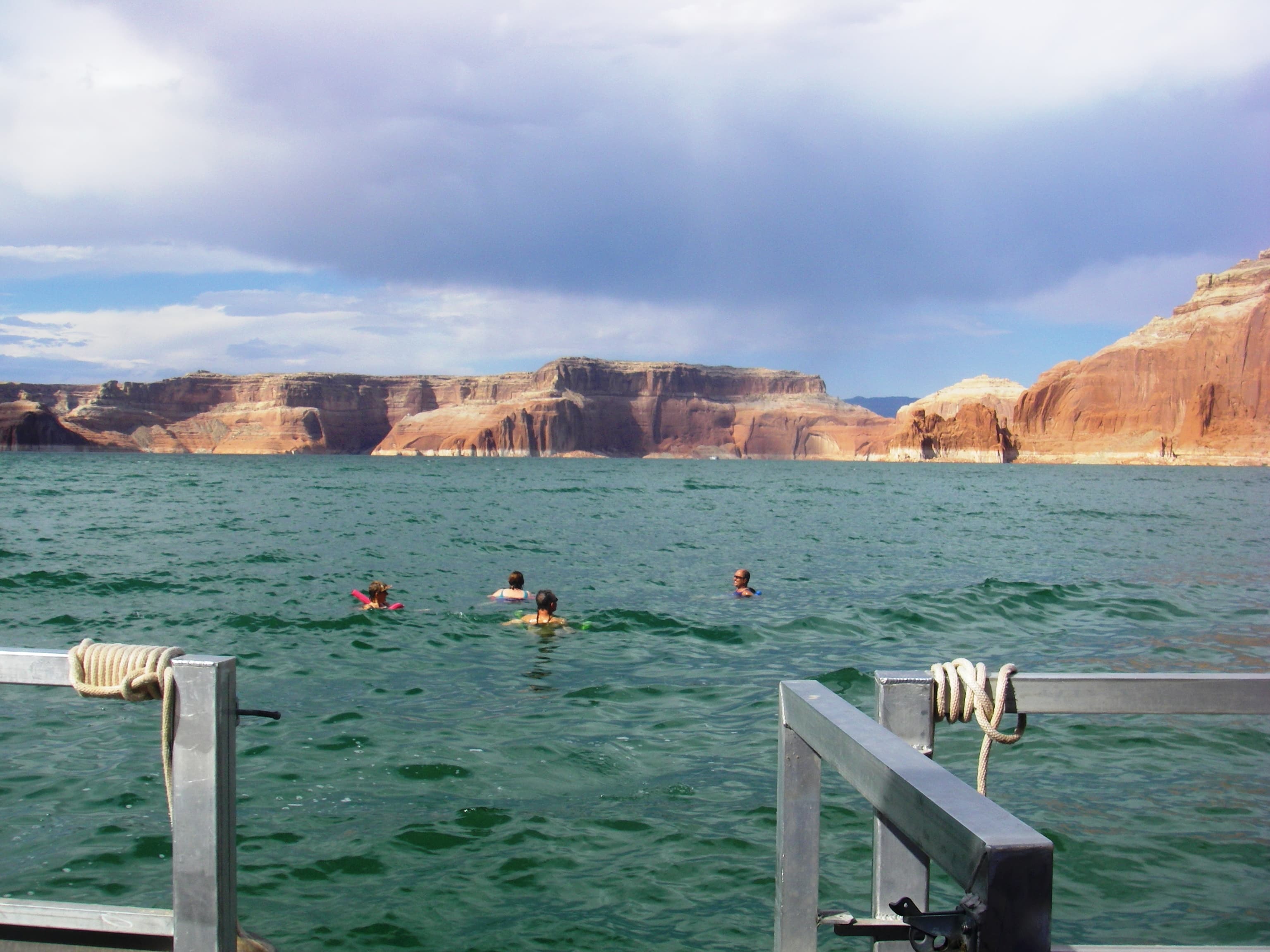
Swimming in Lake Powell
Swimming is a popular activity at Lake Powell, especially in the summer when water temperatures can surpass 80 degrees Fahrenheit. Please be aware that there are no life guards or officially designated swim beaches at Lake Powell or on the Colorado River. Water Quality conditions can change at your favorite swim areas.
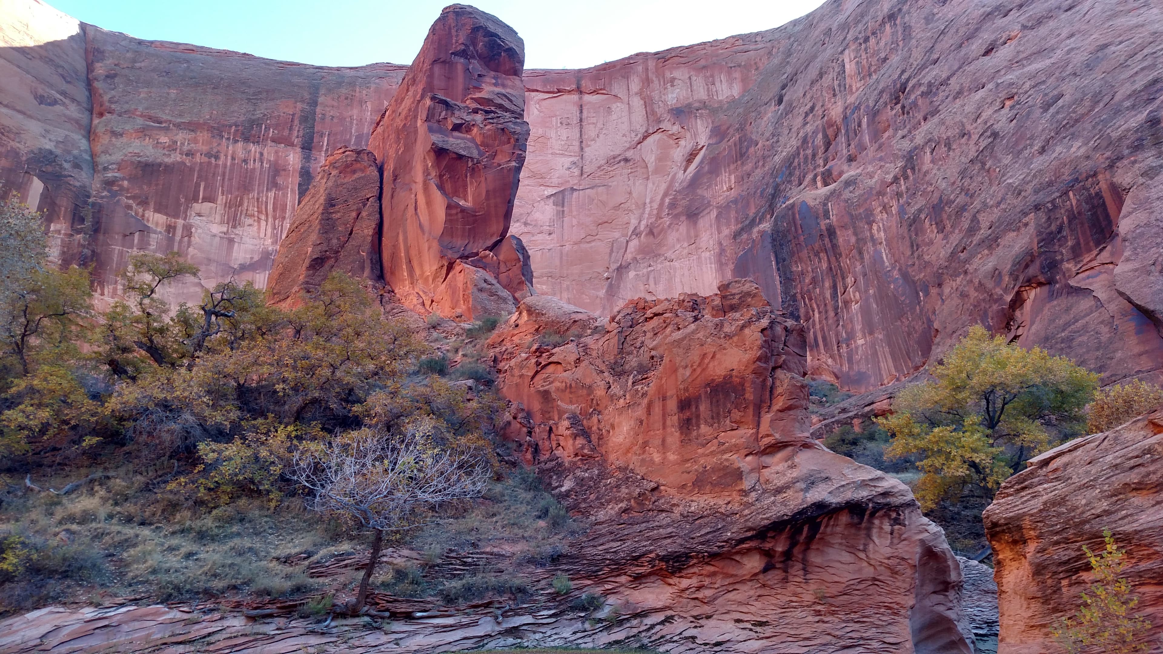
Day Trip or Backpack Hike to Coyote Gulch
Open year-round but most popular in Spring and Fall, Coyote Gulch is a tributary of the Escalante River with several entry points for day hiking or backpacking in the Escalante Canyons of Glen Canyon National Recreation Area and Grand Staircase National Monument. This is a wilderness area, prepare to pack out everything you bring in.
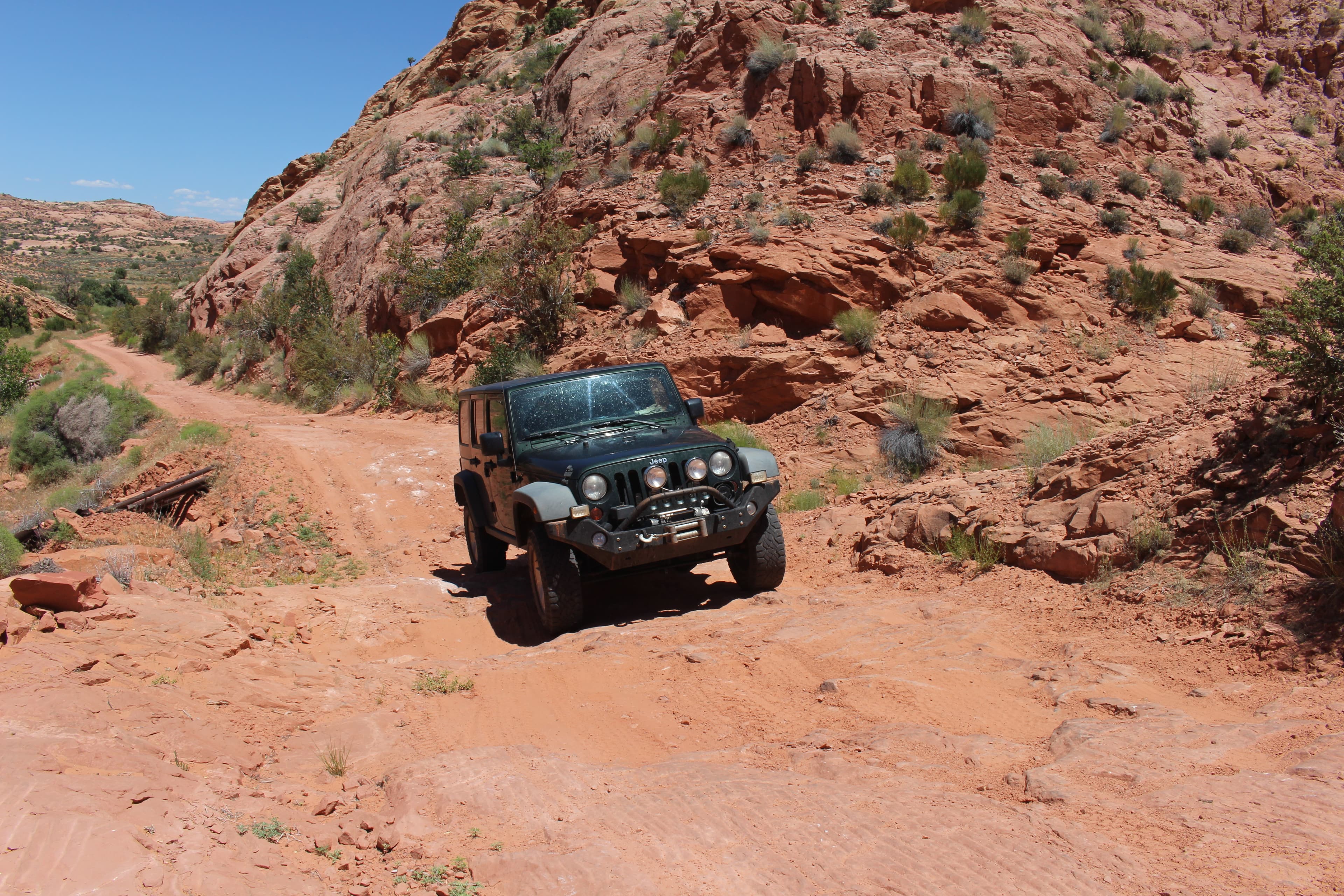
Off Road Vehicles in Glen Canyon
Off-road vehicle use is allowed in the park only on National Park Service-designated ORV routes and areas, delineated by ORV route maps. Some Shoreline Access Areas indicated on the maps may not be available seasonally, due to changes in lake level. Note: There are 388 miles of Designated Roads of which 304 miles are unpaved.
Self-Guided Tours
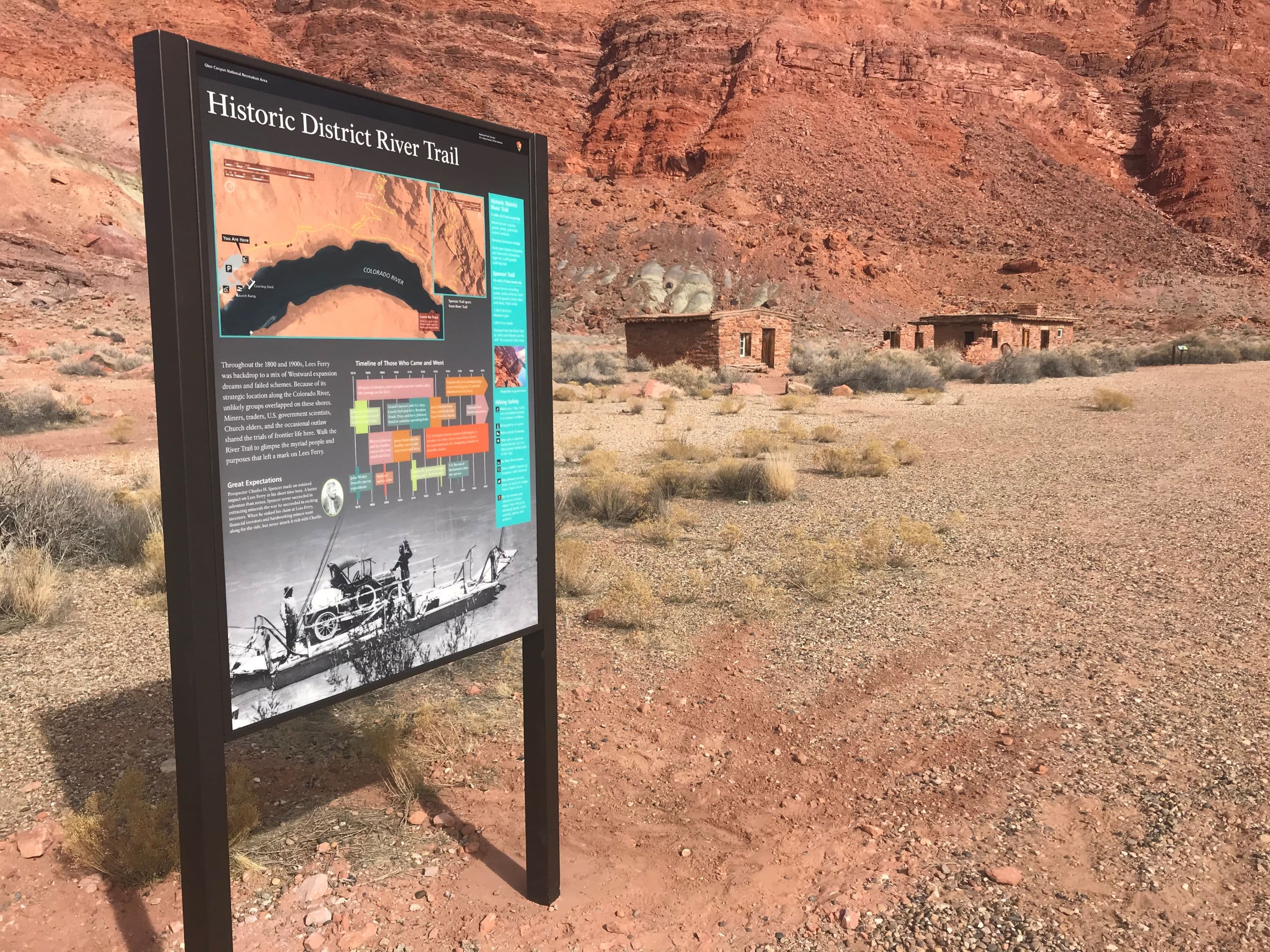
Historic River Tour at Lees Ferry
Throughout the 1800 and 1900s, Lees Ferry was backdrop to a mix of Westward expansion dreams ad failed schemes. Because of its strategic location along the Colorado River, unlikely groups overlapping on these shores. Walk the River Trail to glimpse the myriad people and purposes that left a mark on Lees Ferry. ..... 2 miles (3.2 km) round trip. Mixed terrain includes gravel, sandy, and rocky uneven surfaces. Nominal elevation change. Not a loop - return on the same path you took.
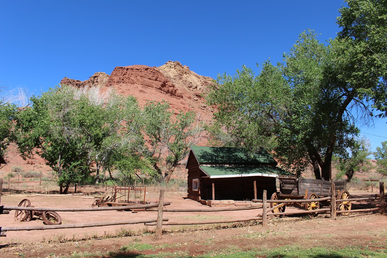
Lonely Dell Historic Ranch Tour
Meet the cast of characters that toiled in the desert sun at this rustic outpost near the crossing of the Colorado River at Historic Lees Ferry. Walk through 100 years of history and learn how Lonely Dell Ranch acted as a hideout, a home, a career, a retreat, and now a link to the past. 1 mile (1.6 km) round trip Visit the Trailhead in the parking lot to start. Continue past the gate and look for waysides to follow the self-guided tour.
Visitor Centers
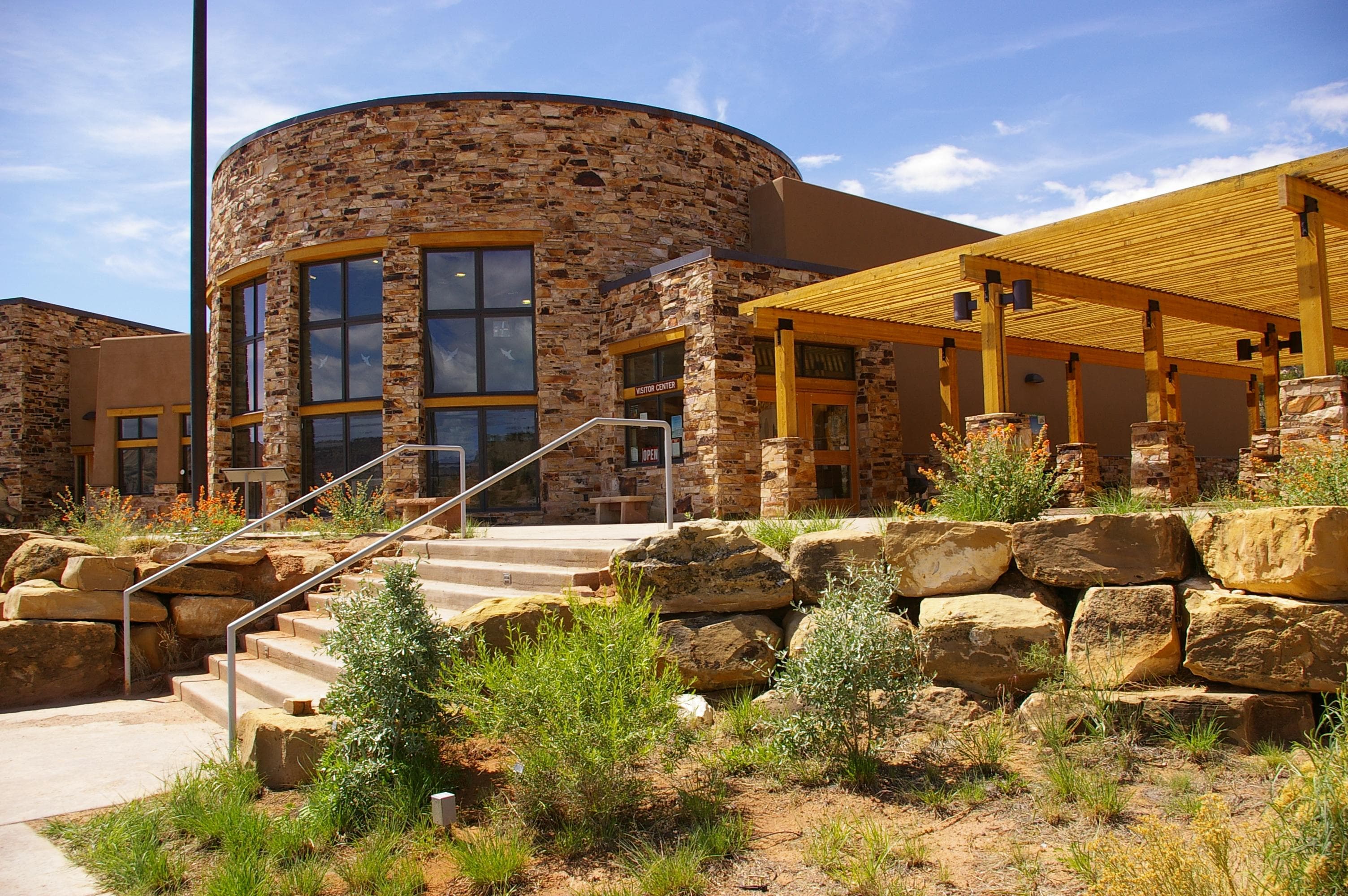
Escalante Interagency Visitor Center
This center is jointly run by Grand Staircase-Escalante National Monument (Bureau of Land Management), Glen Canyon National Recreation Area (National Park Service), and Dixie National Forest (National Forest Service). It features outdoor exhibits focusing on trip planning and interior exhibits on the scientific research surrounding the Escalante region. Permits for hikes into Glen Canyon Wilderness must be obtained here in person. Call ahead for permit status and road conditions. 435-826-5499.
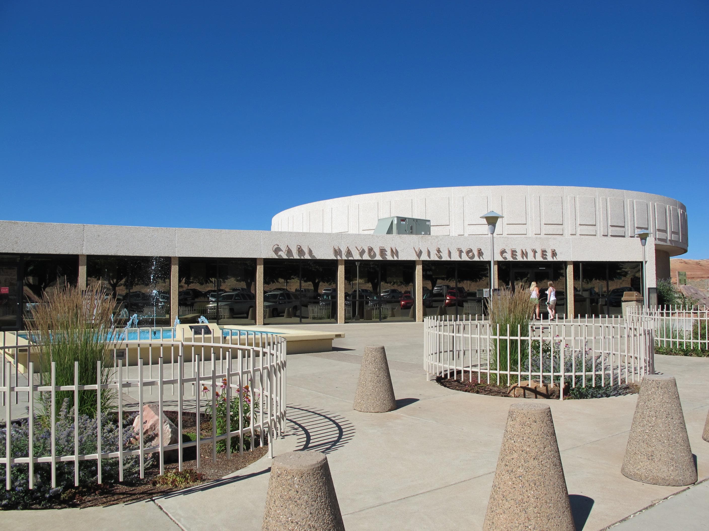
Carl Hayden Visitor Center
Main visitor center for Glen Canyon National Recreation Area and Rainbow Bridge National Monument. Exhibits about recreation and historic water use. Tours of Glen Canyon Dam are closed. Movies in auditorium. Store operated by Glen Canyon Conservancy.
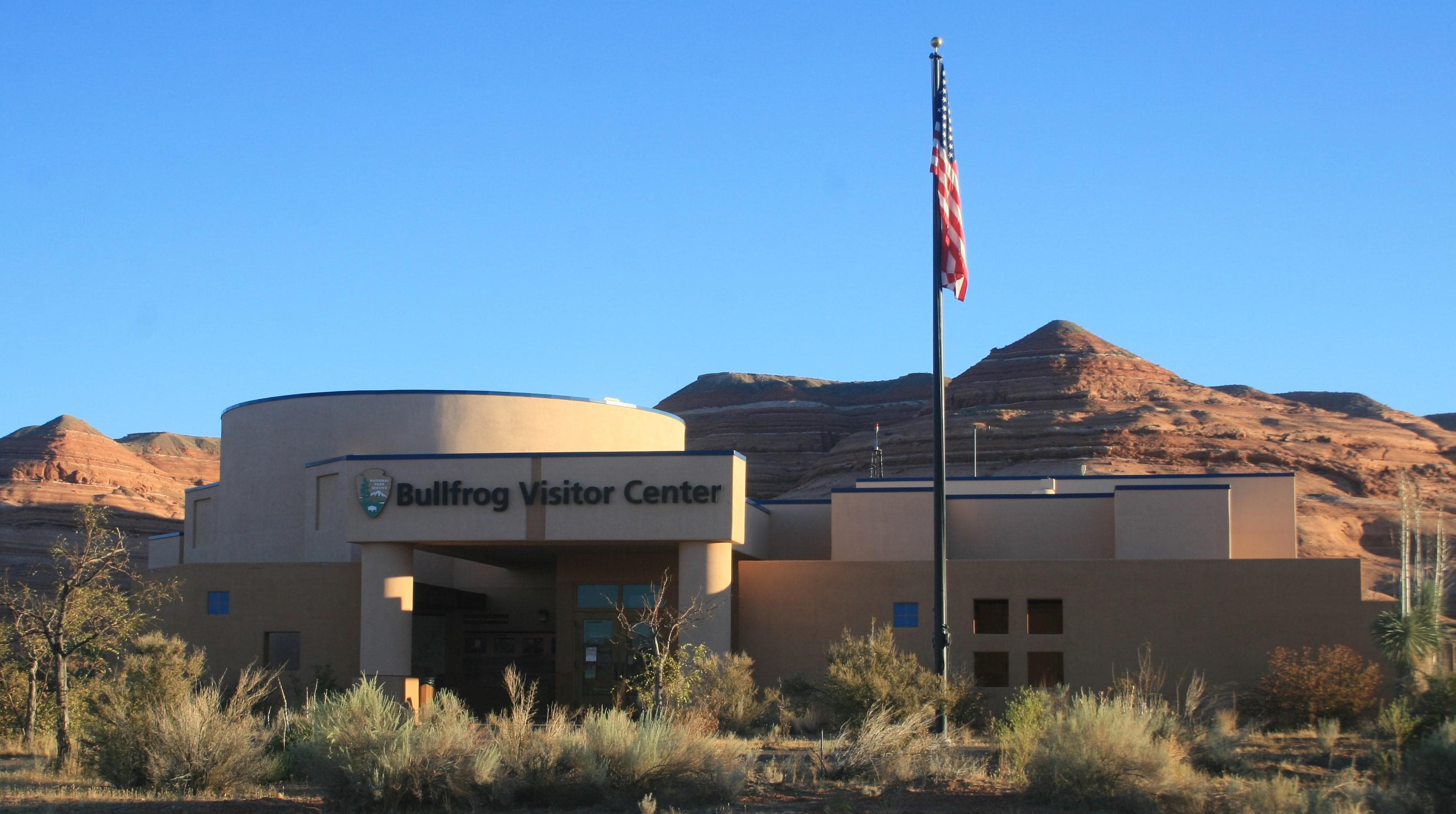
Bullfrog Visitor Center
Open seasonally. Exhibits relating to geology and the human and natural history of Glen Canyon, including a life-size model of a slot canyon! Ancestral Puebloan and pioneer artifacts. Restrooms are located 24/7 on the outside of the building near the front entrance. Some amenities are not available when the visitor center is closed.
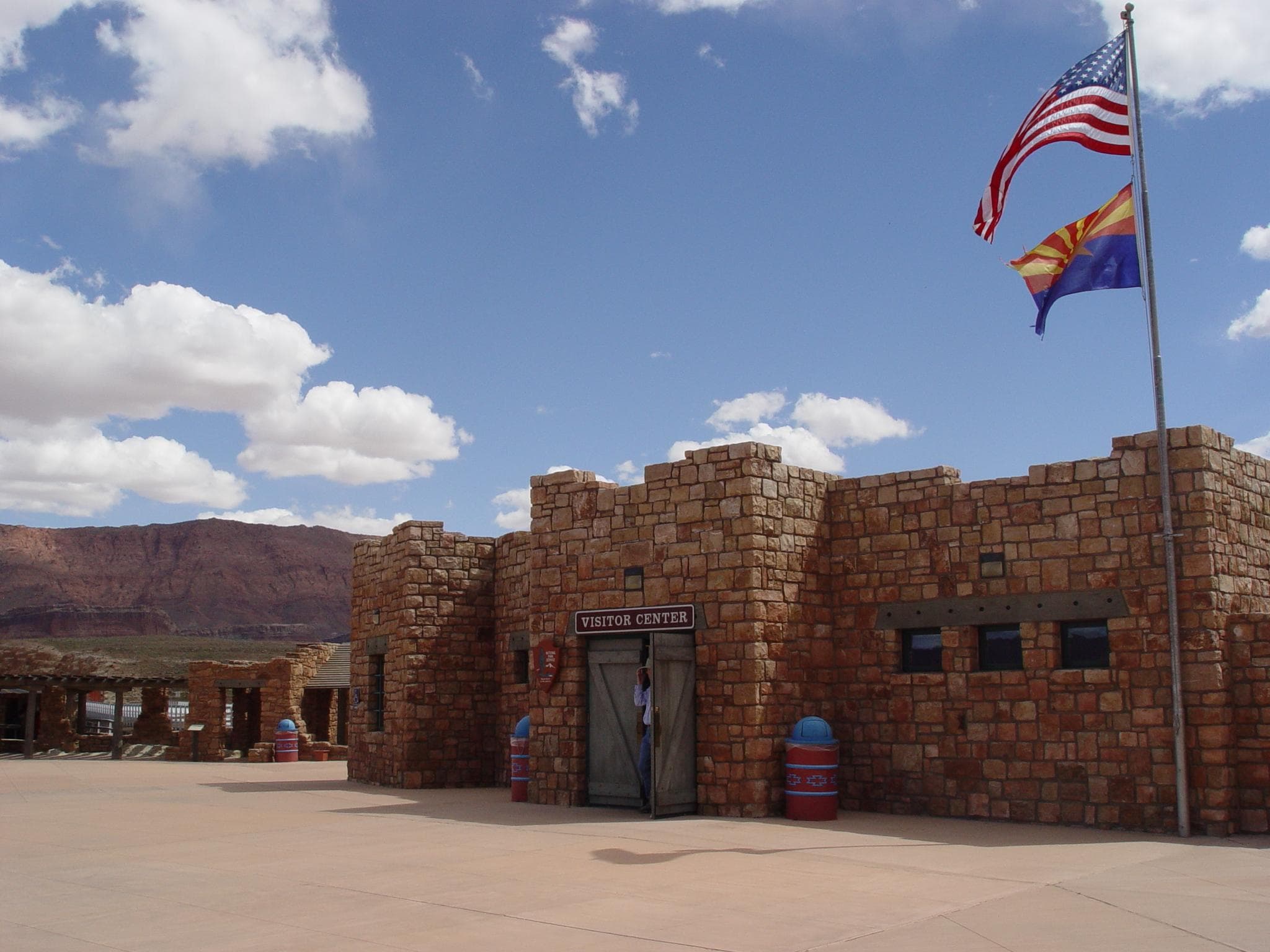
Navajo Bridge Interpretive Center
Bookstore, outdoor exhibits, and self guided walks across the historic Navajo Bridge. This is a popular spot to look for California Condors.
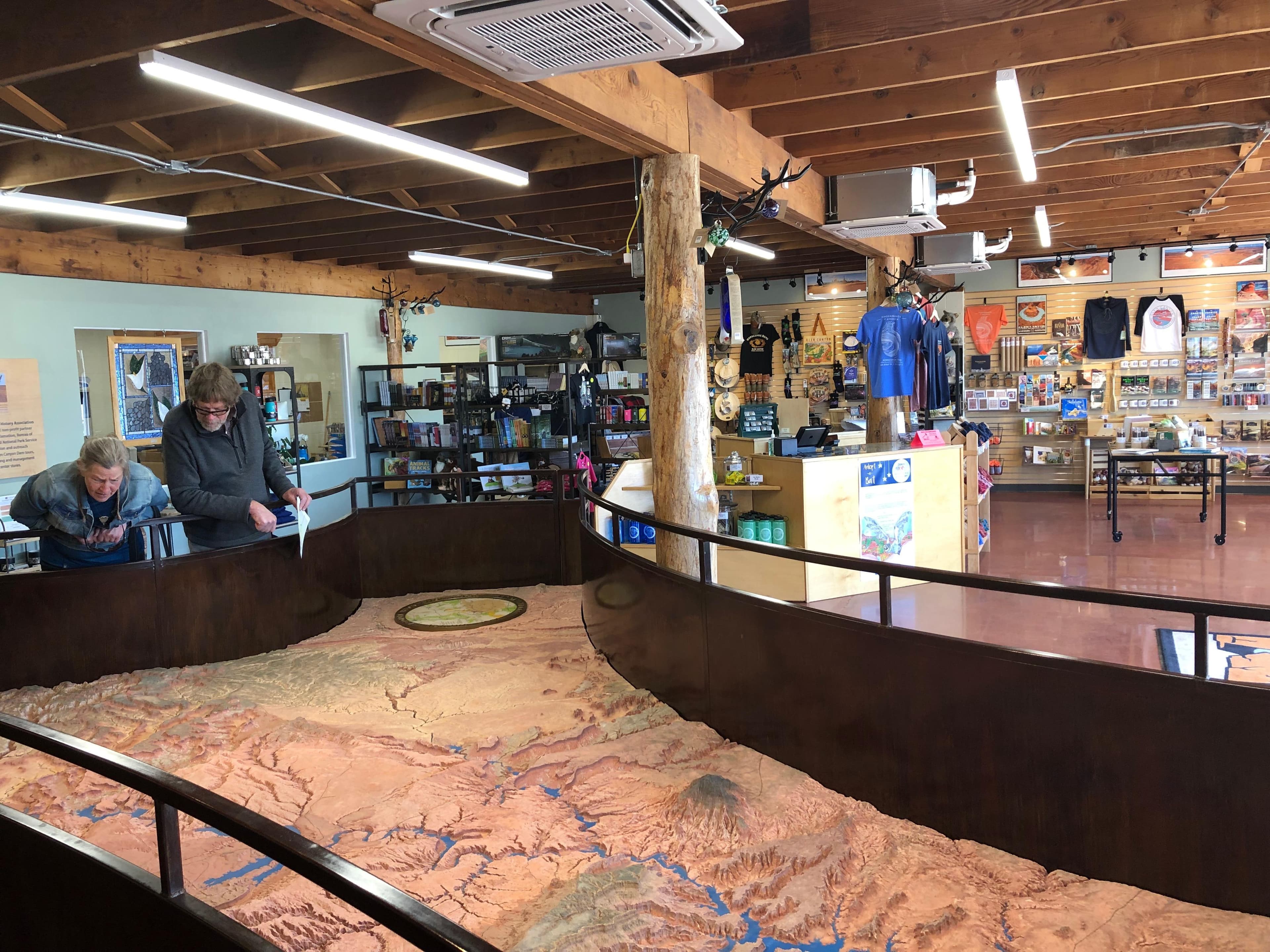
Glen Canyon Conservancy Flagship
An official visitor center for the state of Arizona, and acting as Glen Canyon's supplementary visitor center in Page AZ, the Flagship office and retail store is a great place to start your Glen Canyon adventure. Our partners Glen Canyon Conservancy offer the historic big relief map that originally anchored the Carl Hayden Visitor Center. Let the knowledgeable staff help you plan your trip, browse the retail store for books, maps, and gear that you'll need during your visit.
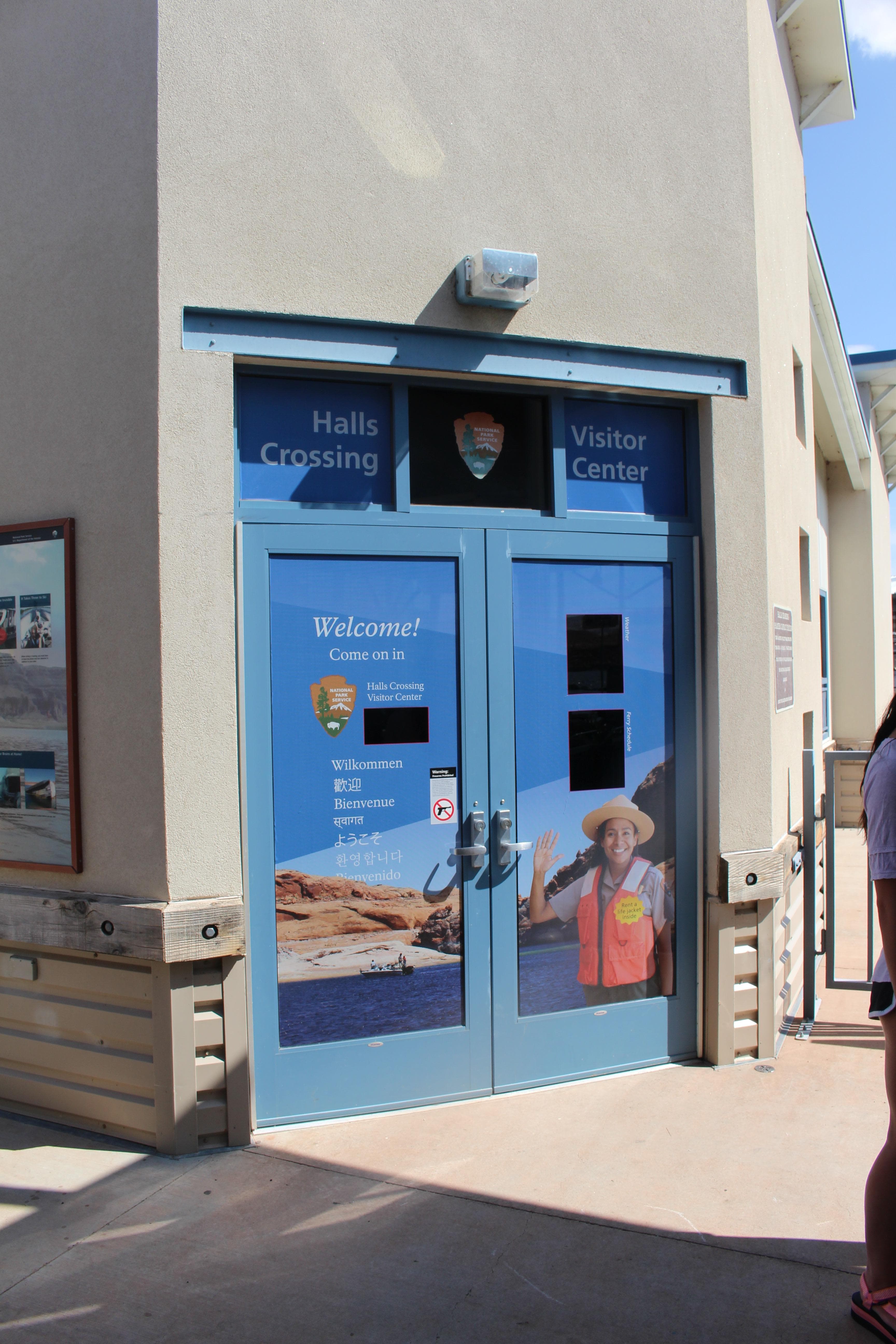
Halls Crossing Contact Station
A small cabin at the Halls Crossing marina. Exhibits about aquatic invasive species, boating, and Lake Powell history.
Where to Stay
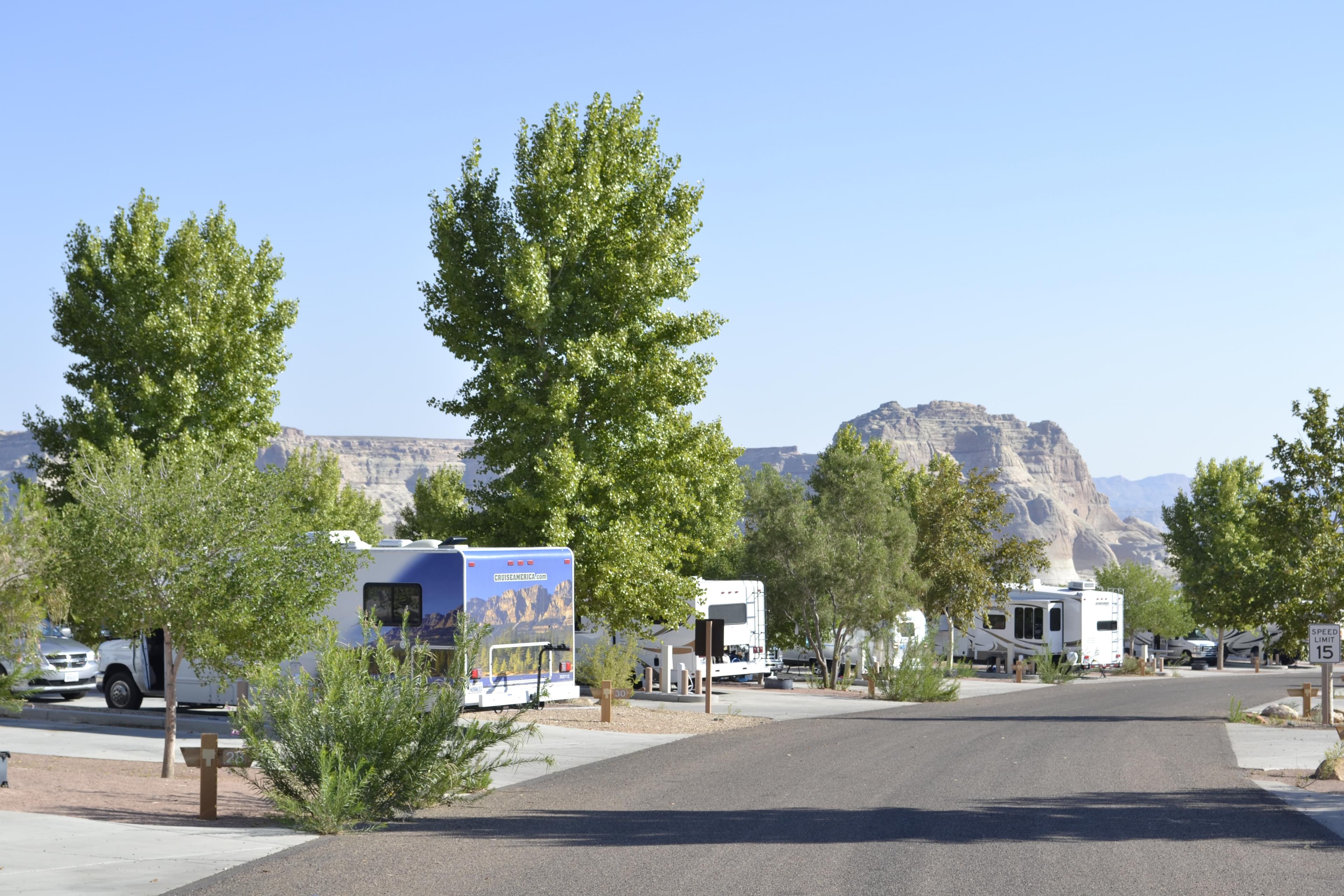
Wahweap Campground & RV Park
Operated by Lake Powell Resors & Marinas. 112 dry campsites (no hook-ups), 90 full hook-ups, and 6 group camping sites. Facilities include restrooms, laundry, showers, store, phones, dump station and potable water. The amphitheater, picnic area and swim beach are nearby. Fees apply. To make reservations for full hook-ups, group or dry camping please visit www.lakepowell.com or call 800-528-6154. The Wahweap camping store is 928-645-1059. Fees vary.
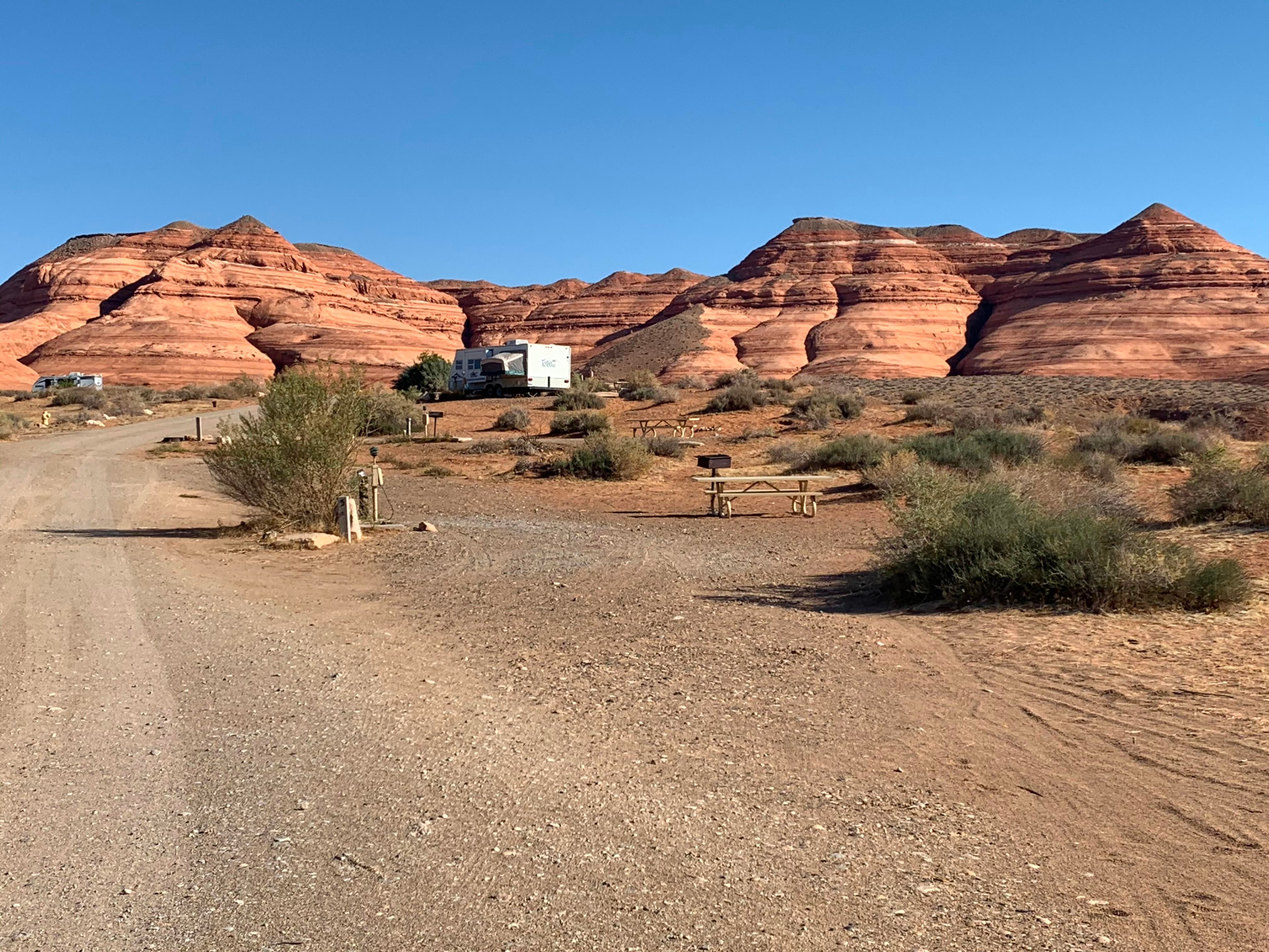
Bullfrog RV & Campground
This campground is located in the Bullfrog developed area and is operated by Lake Powell Resorts & Marinas. 78 sites, restroom, phones, dump station, potable water station, ½ mile to laundry, store, post office, launch ramp. No reservations. Fees apply. The concessioner also operates a separate RV park with 24 sites, full hook-ups, restrooms, showers, and 1/2 mile to laundry, store, post office, launch ramp. For reservations visit www.lakepowell.com or call 800-528-6154. Fees apply.
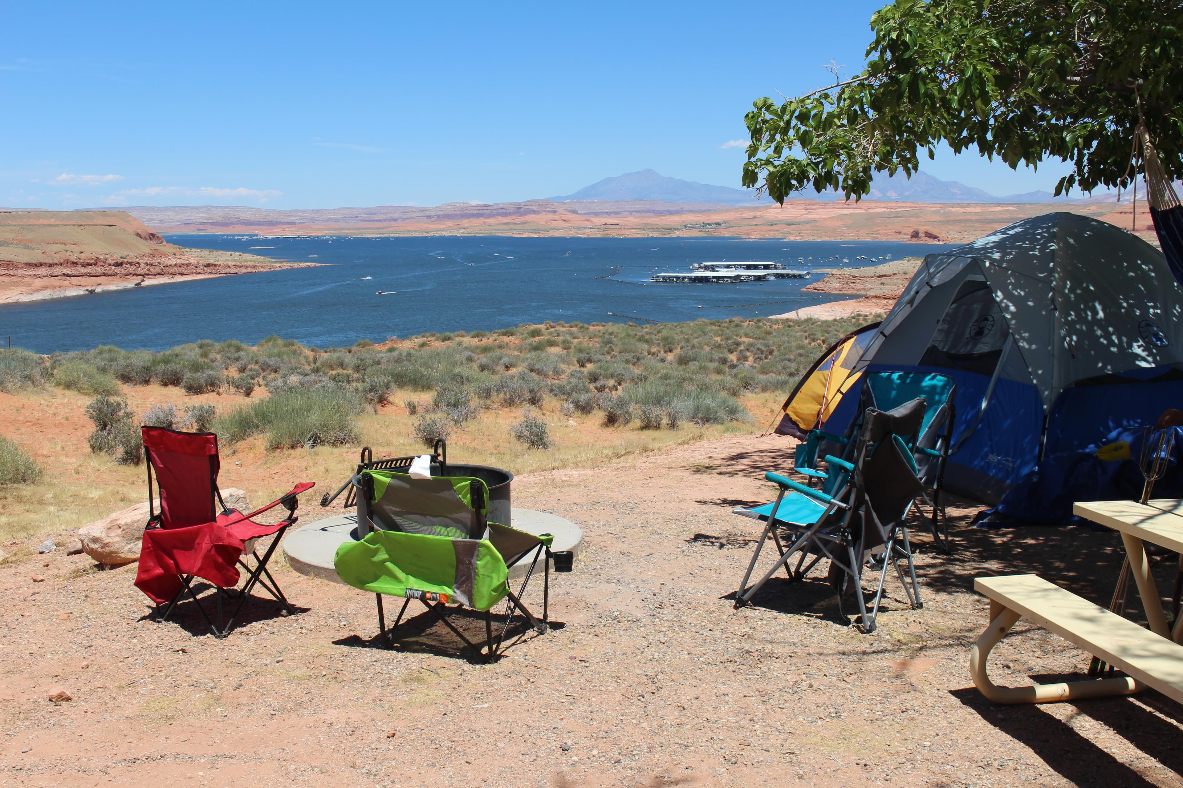
Halls Crossing RV & Campground
This campground is operated by Lake Powell Resorts & Marinas. With Halls Crossing RV Park & Campground, you're just steps from food, fun, and the Village Store. It's easy to get to Halls Crossing. Simply ride the ferry located at Bullfrog Marina and Halls Crossing, it's just a short ride away. Stop by the Village Store to check-in - and don't forget to pick up food and beverages while you are there.
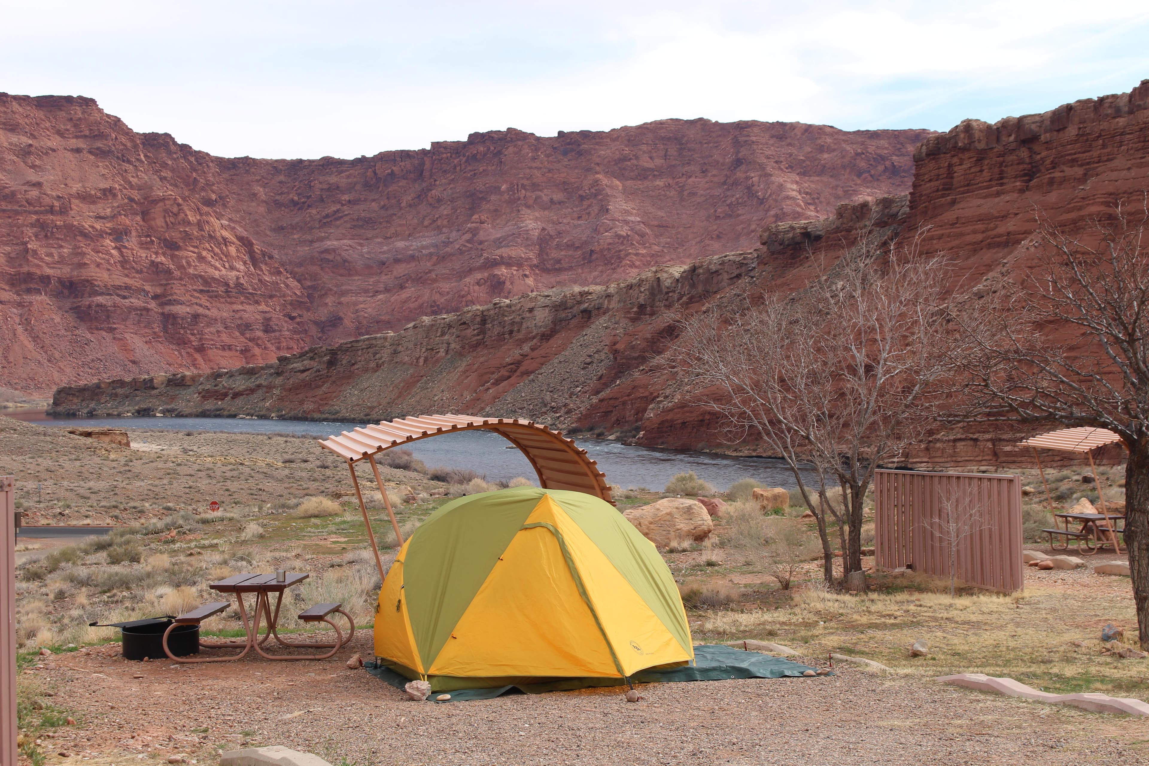
Lees Ferry Campground
No reservations. $26 per site/per night. 54 designated sites. No hookups. RV dump station. Grills provided, no open fires. Quiet time 10pm-6am. Modern bathroom/comfort station, potable water available, launch ramp 2 miles. Gas and supply store at Marble Canyon, about 5 miles away. Wow, views of Colorado River and Vermillion Cliffs.
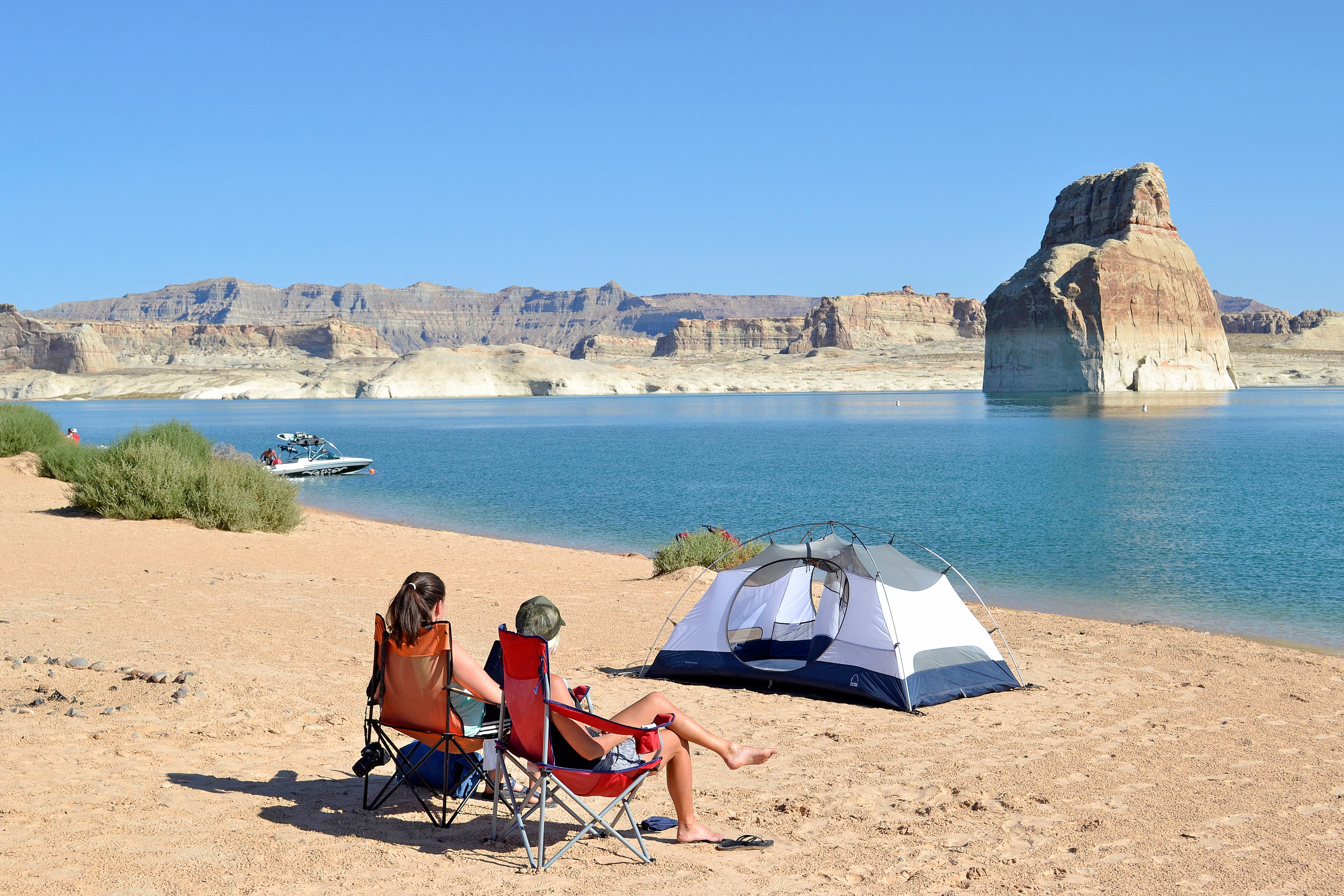
Lone Rock Beach Primitive Camping Area
No reservations. $14 per vehicle/per night in addition to entry fees. Primitive camping is on a sandy beach or in dunes. No designated campsites. Maximum two vehicles per site. Open fires permitted, must be within four-foot squared area. No glass containers. Quiet time 10pm-6am. 4 micro flush toilets, 6 vault toilets, 1 comfort station/wheelchair accessible, outdoor cold shower, Off Road Vehicle area, dump station, potable water (seasonal), and day use area. No launch ramp.
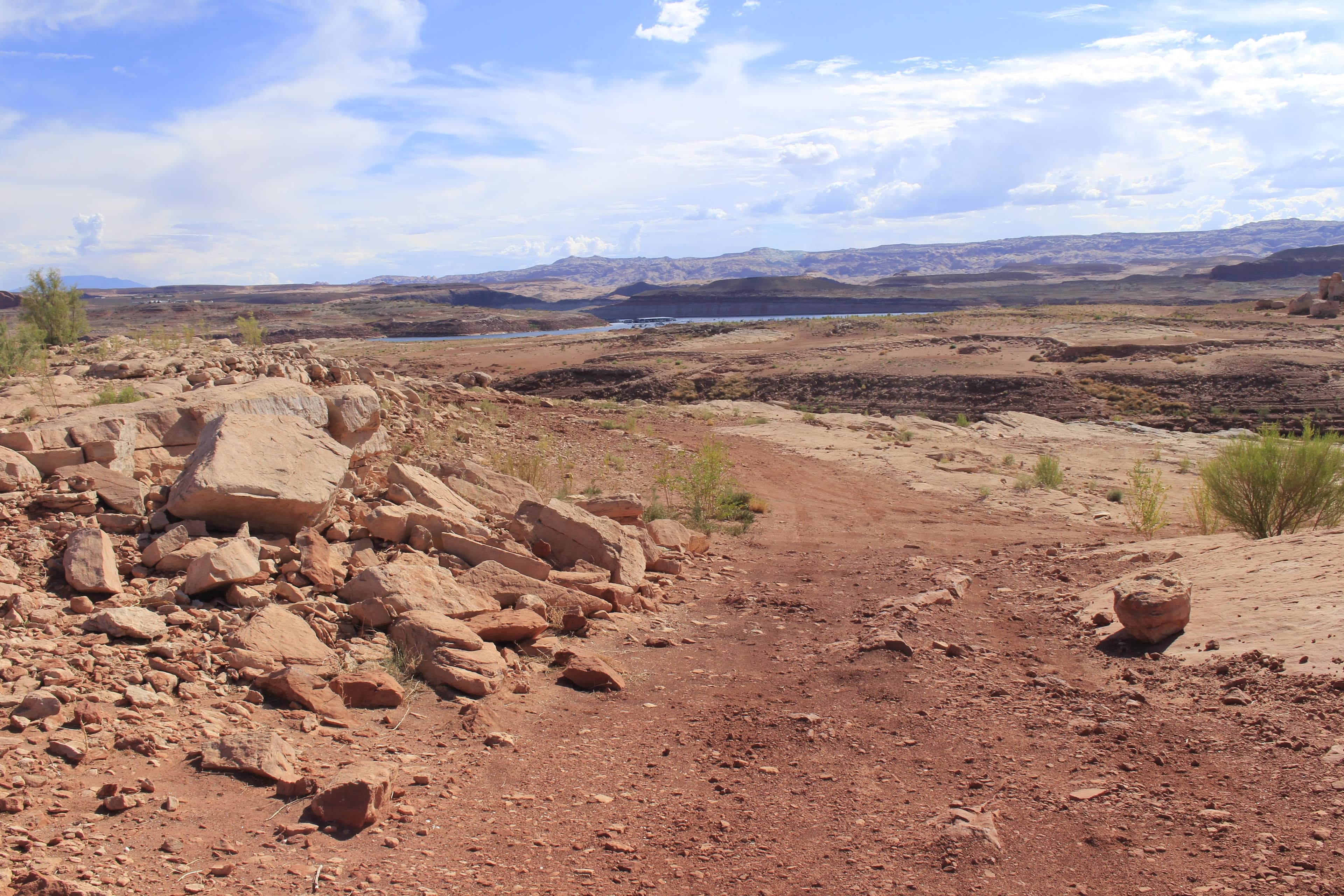
Stanton Creek Primitive Camping Area
Designated primitive camping areas that are accessible by vehicle and sometimes by vessel as well. First-come first served, no reservations. No designated sites. No potable water. When pit toilets are unavailable, campers must bring portable toilets for use and proper disposal into the sewer system. Quiet hours 10pm-6am. $12 per night.
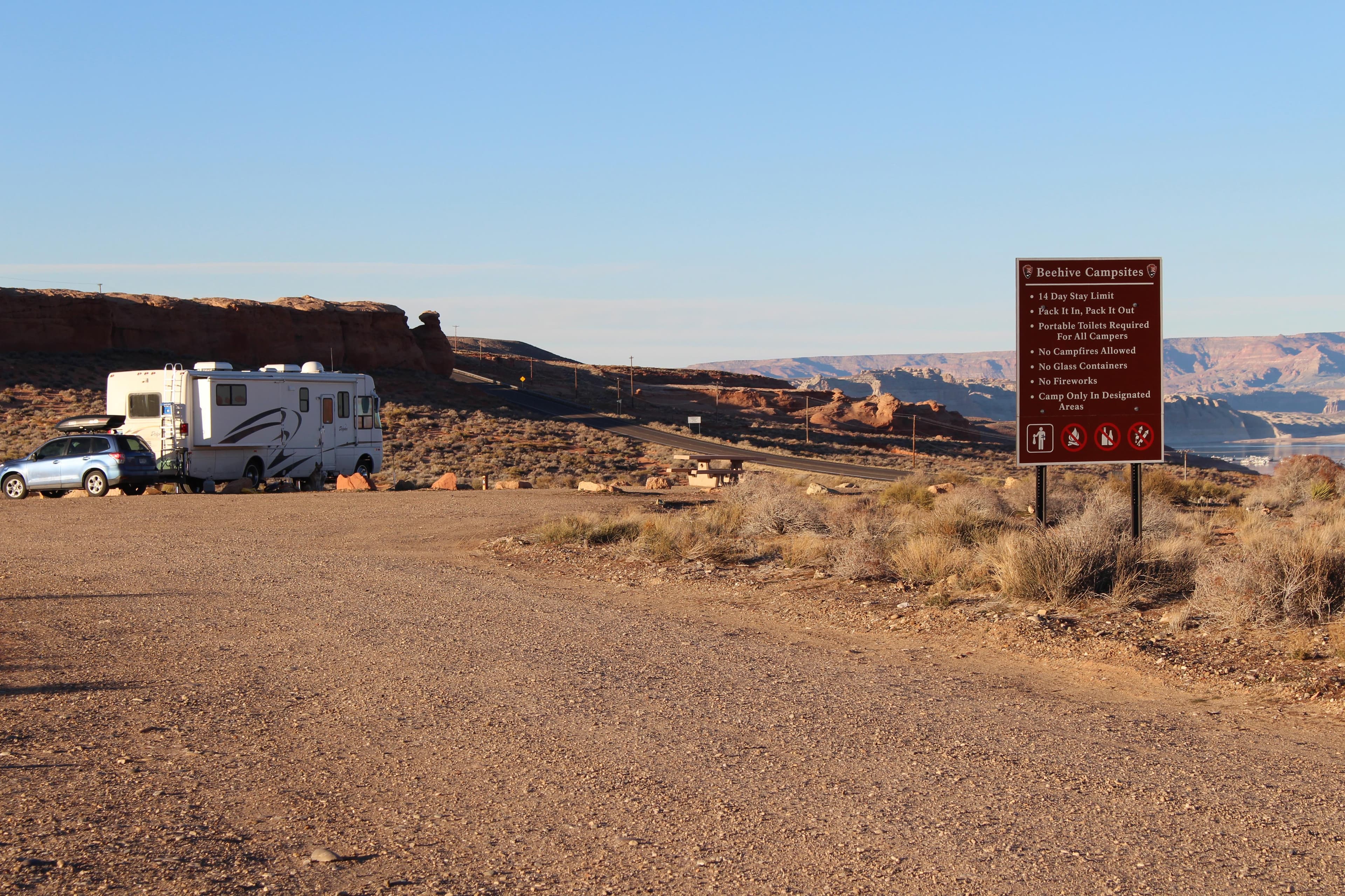
Beehives Primitive Campground
No reservations. $14 per night. 21 designated sites. Across the highway from Wahweap South Entrance. Picnic table at each site. No hookups or dump stations. Pack it in, pack it out. No campfires or glass containers. Three-night camping limit.
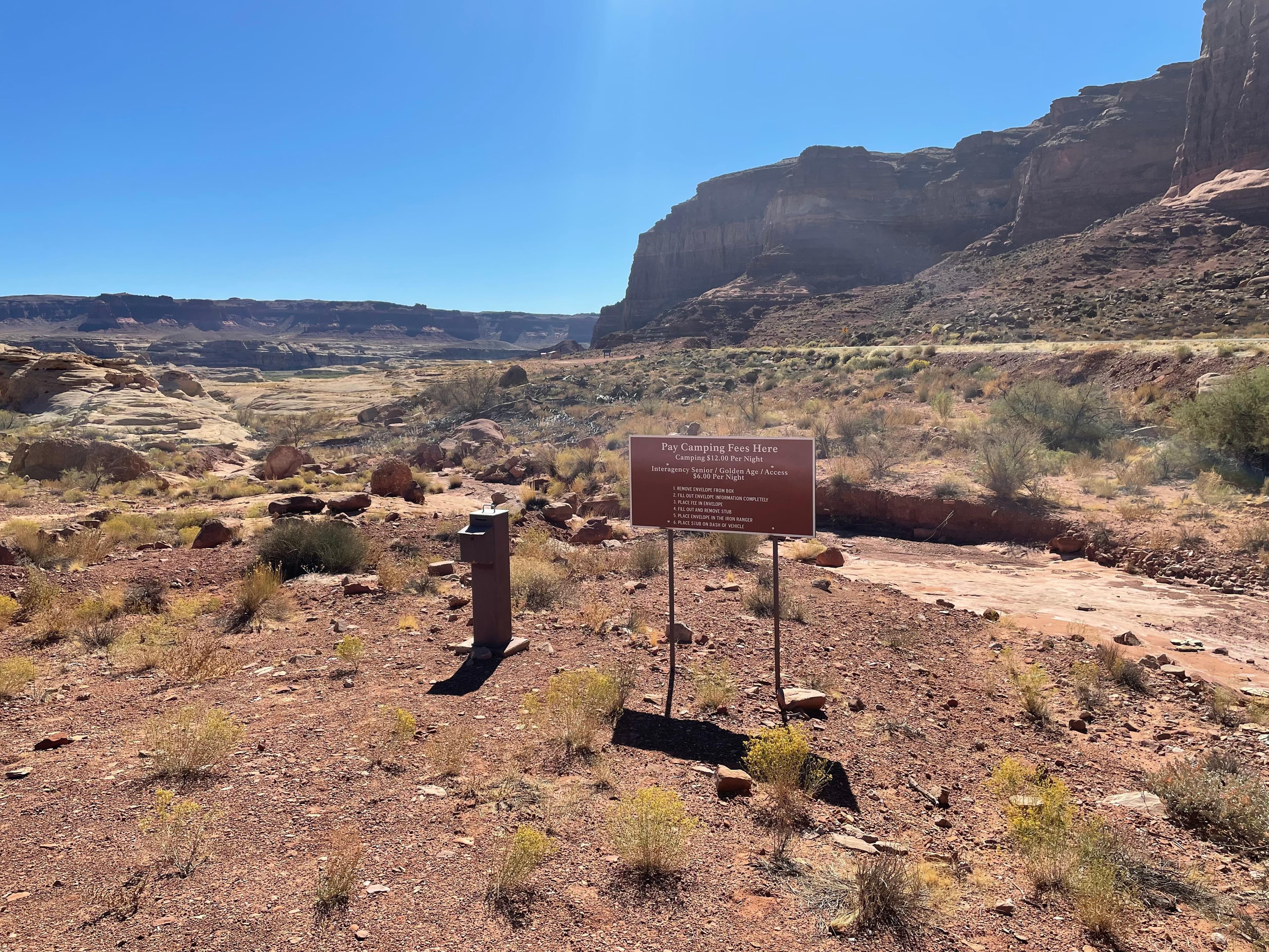
Dirty Devil Primitive Camping Area
Designated primitive camping area only accessible by vehicle. First-come first served, no reservations. No designated sites. No potable water. When vault toilets are unavailable, campers must bring portable toilets for use and proper disposal into the sewer system. Quiet hours 10pm-6am. $12 per night. The nearby Hite area is currently closed to the public.
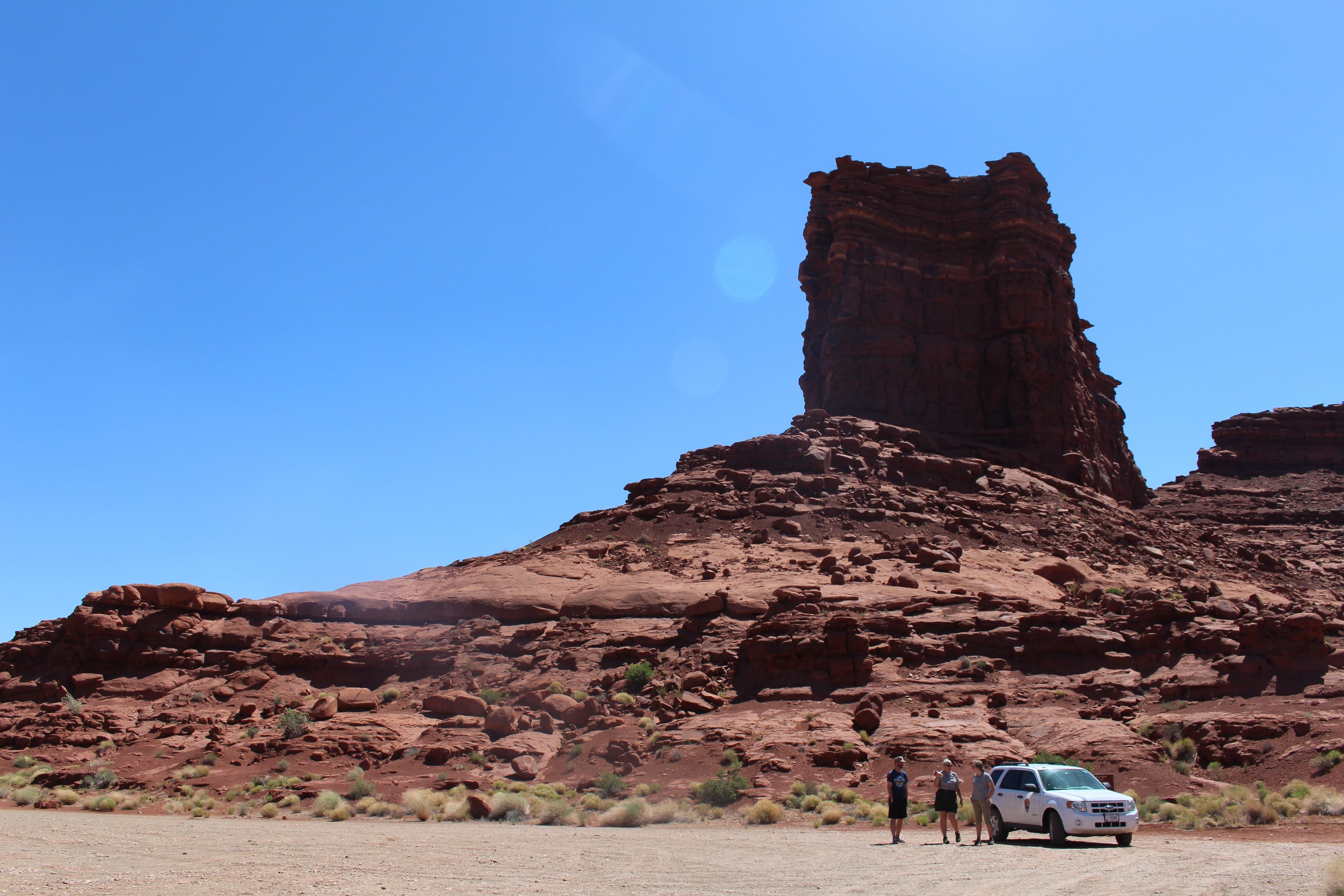
Farley Canyon Primitive Camping Area
Designated primitive camping areas that are accessible by vehicle and sometimes by vessel as well. First-come first served, no reservations. No designated sites. No potable water. When pit toilets are unavailable, campers must bring portable toilets for use and proper disposal into the sewer system. Quiet hours 10pm-6am. $12 per night. The nearby Hite area is currently closed to the public.
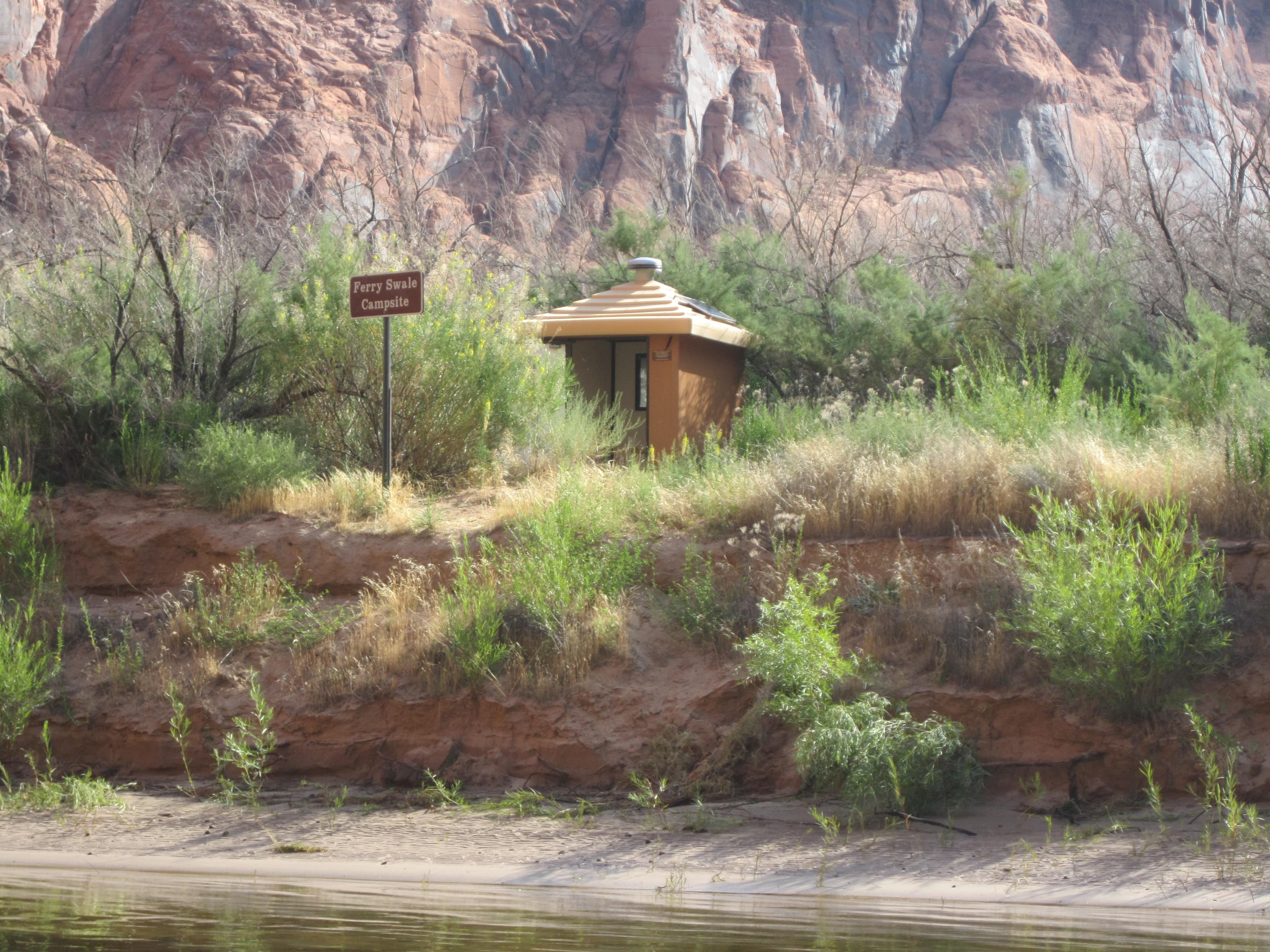
Colorado River Primitive Camping Between Glen Canyon Dam and Lees Ferry
No reservations. Along the fifteen mile stretch of the Colorado River between Glen Canyon Dam and Lees Ferry, there are five primitive beaches set aside for camping, marked with signs, on a first-come, first-served basis. Camping is permitted in these areas only, as they are provided with toilets and fire pits. These sites can only be accessed by small vessel. All campsites are located well above the river and require a short walk from your boat.
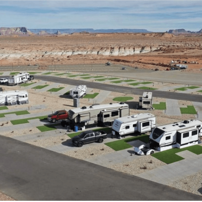
Antelope Point RV Park
While the Antelope Point RV park is not physically within the boundaries of Glen Canyon National Recreation Area, it is operated by Antelope Point Marina. Make your reservation with them at https://antelopepointlakepowell.com/explore-lake-powell/rv-park/. This is an RV site only. 104 full hook-up spaces, 15 pull-through spaces. Maximum Length - 70ft. 2 RV dump stations
Getting Here & Transit
How to Get Here
There are multiple districts in Glen Canyon very far away from each other. Avoid a two hundred mile detour and make sure you know which district you are going to before you begin travelling here.
Park Amenities
Entrance Fees & Passes
Standard Fees
Entrance - Private Vehicle
$30.00Admits one single, private, non-commercial vehicle and all its passengers.
Entrance - Motorcycle
$25.00Valid for 7 days. Admits up to 2 private, non-commercial motorcycles with up to 4 total passengers.
Entrance - Per Person
$15.00Admits one individual when entering on foot or bicycle. Individuals 15 years of age and younger are admitted free.
Commercial Entrance - Van
$40.00Fees are assessed based on the passenger capacity of the vehicle. Pass is only valid for the same group to which it was issued.
Commercial Entrance - Mini-bus
$40.00Fees are assessed based on the passenger capacity of the vehicle. Pass is only valid for the same group to which it was issued.
Commercial Entrance - Motor Coach
$100.00Fees are assessed based on the passenger capacity of the vehicle. Pass is only valid for the same group to which it was issued.
Entrance - Education/Academic Groups
$0.00Academic fee waivers must be submitted and returned before you visit Glen Canyon National Recreation Area.
Annual & Lifetime Passes
Annual Entrance - Park
$55.00Annual pass is a card signed for and held by the owner. Allows unlimited entry for cardholder and everyone in that person's private vehicle to Glen Canyon National Recreation Area for 12 months from date of purchase. Does not cover vessel expanded amenity fee.
Operating Hours
Glen Canyon Open Hours
Glen Canyon National Recreation Area is open 24 hours per day, year-round. If there is not a person staffing the entrance station, you may pay your entrance fee at the automated fee machine. Launch ramps are open all day, unless closed due to low water.
- MondayAll Day
- TuesdayAll Day
- WednesdayAll Day
- ThursdayAll Day
- FridayAll Day
- SaturdayAll Day
- SundayAll Day
Live Webcams
Click any camera to open the live feed on the NPS website.
Stateline Auxiliary Launch Ramp
The camera is viewing the Stateline Auxiliary launch ramp, which is open for launching when Lake Powell is above 3520'. Check the link below for up-to-date information on the changing elevations of Lake Powell. This view shows the gravel parking area just above the ramp itself. The courtesy docks and breakwater are visible at the end of the ramp. Across the lake sits Navajo Mountain, bits of Boundary Butte and Tower Butte, and other rock features. The image will update every 10 minutes.
Paria Overlook
A view from atop the Paria Plateau down towards Lees Ferry launch ramp and historic site, 15 miles downstream from Lake Powell on the Colorado River in northern Arizona. The lip of the cliff covers Lees Ferry itself, but you can see the road leading towards there. The left bank of the river is part of the Navajo Nation and the right back is located in the boundaries of Glen Canyon National recreation Area and Grand Canyon National Park. On a clear day you can see all the way downstream to Navajo Bridge. The image will update every 10 minutes.
Wahweap Main Launch Ramp
A view over Wahweap Launch Ramp on Lake Powell in northern Arizona. This launch ramp is open for launching vessels when Lake Powell's elevation is above 3550'. Check the link below to see up to date information about the lake. When the launch ramp is open, use it to see how busy boat traffic is. When it is closed, you may park on the sides of the ramp for paddlecraft or beach use. Also seen in the shot are Government Docks - used by all the agencies who have jurisdiction at Lake Powell (federal, state, county, etc.), and the pumpout you use to empty out your vessel of blackwater after your trip. Across the lake you can see Navajo Mountain, Tower Butte, and other rock features. The image will update every 10 minutes.
Photos
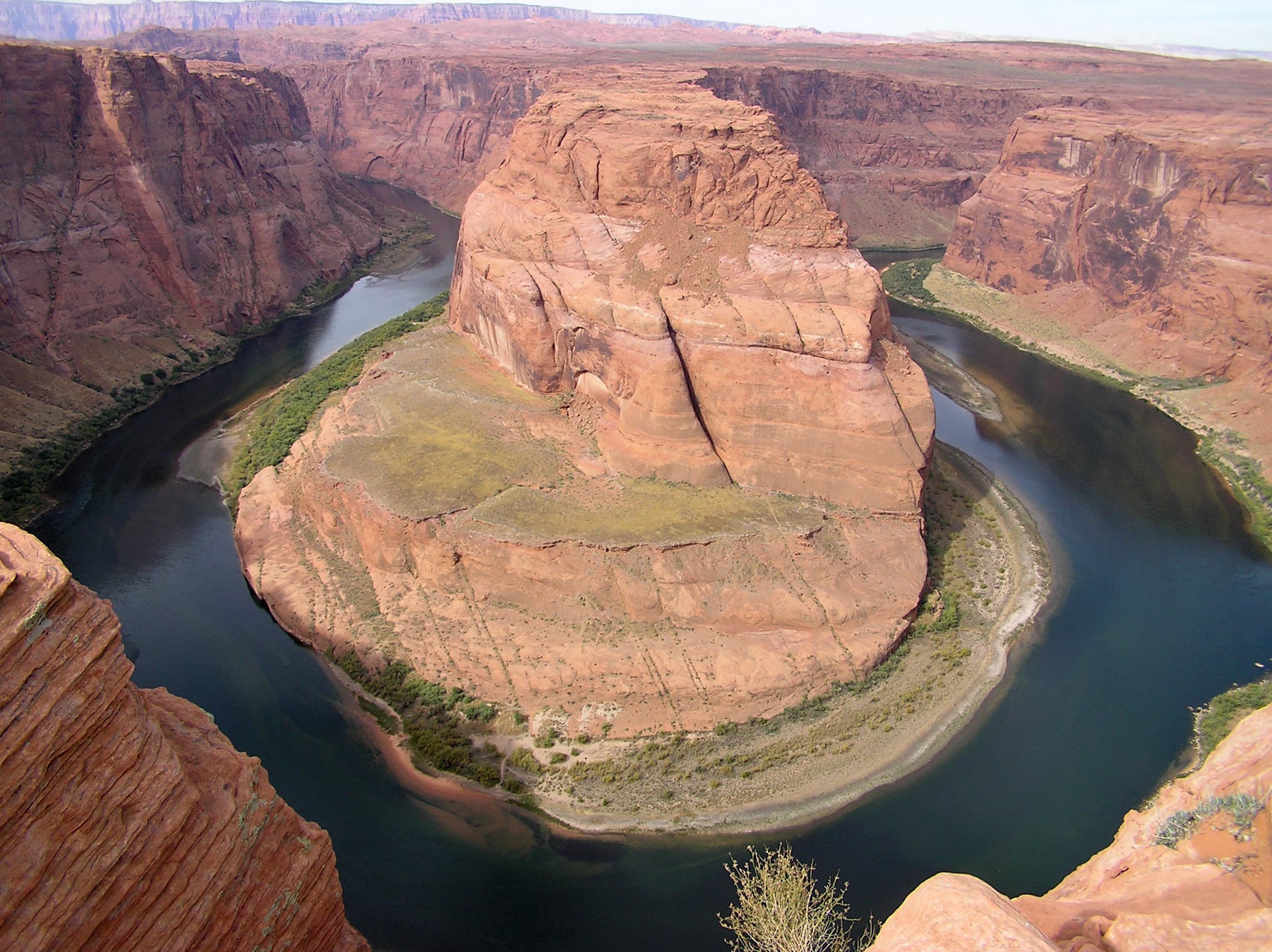
Green river winds through high cliffs.
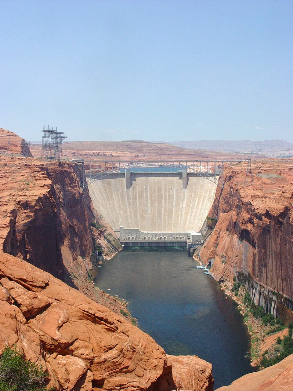
A concrete dam plugs high canyon walls. Buildings and wires on the sides.
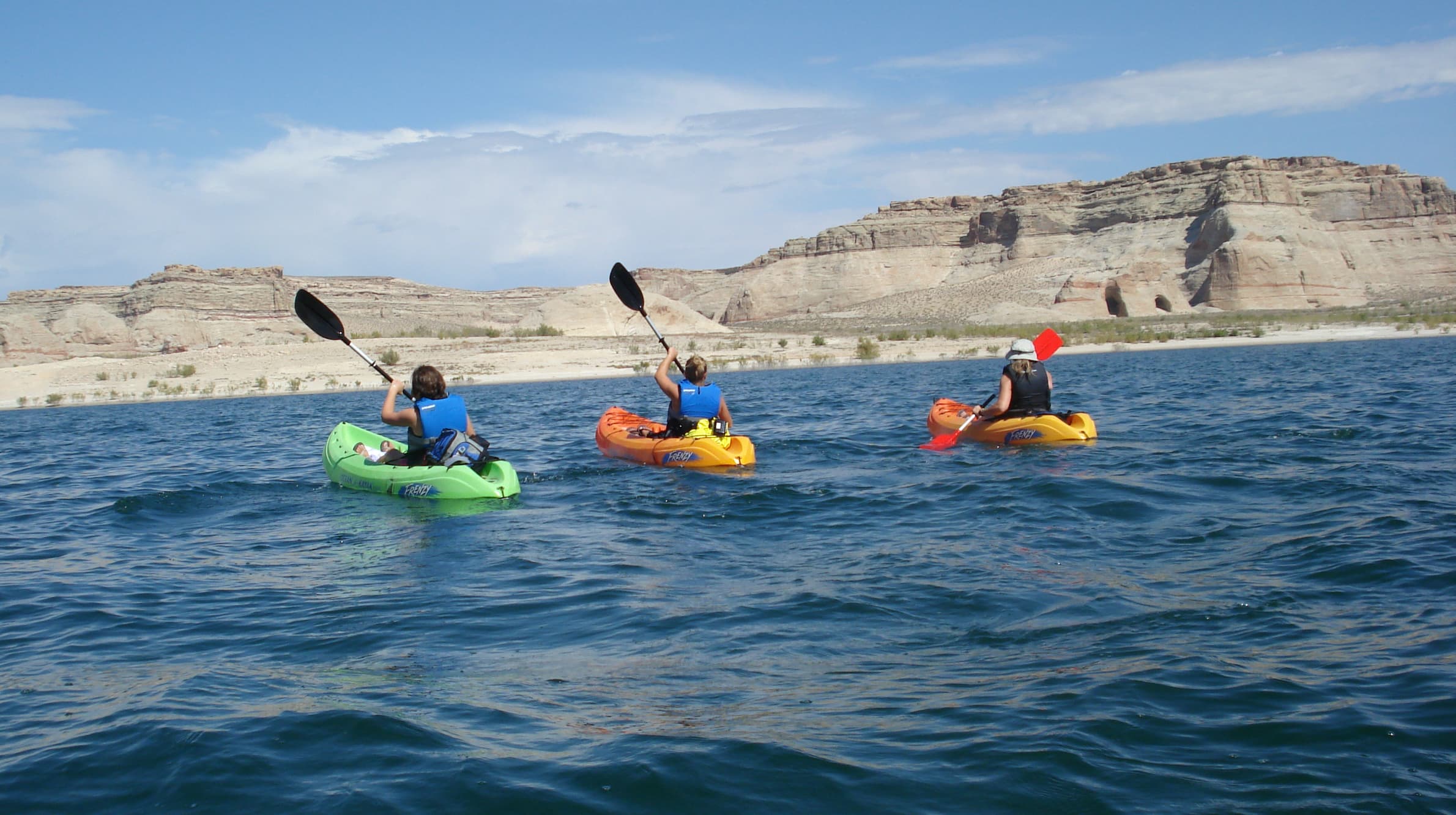
Three kayaks on the lake.
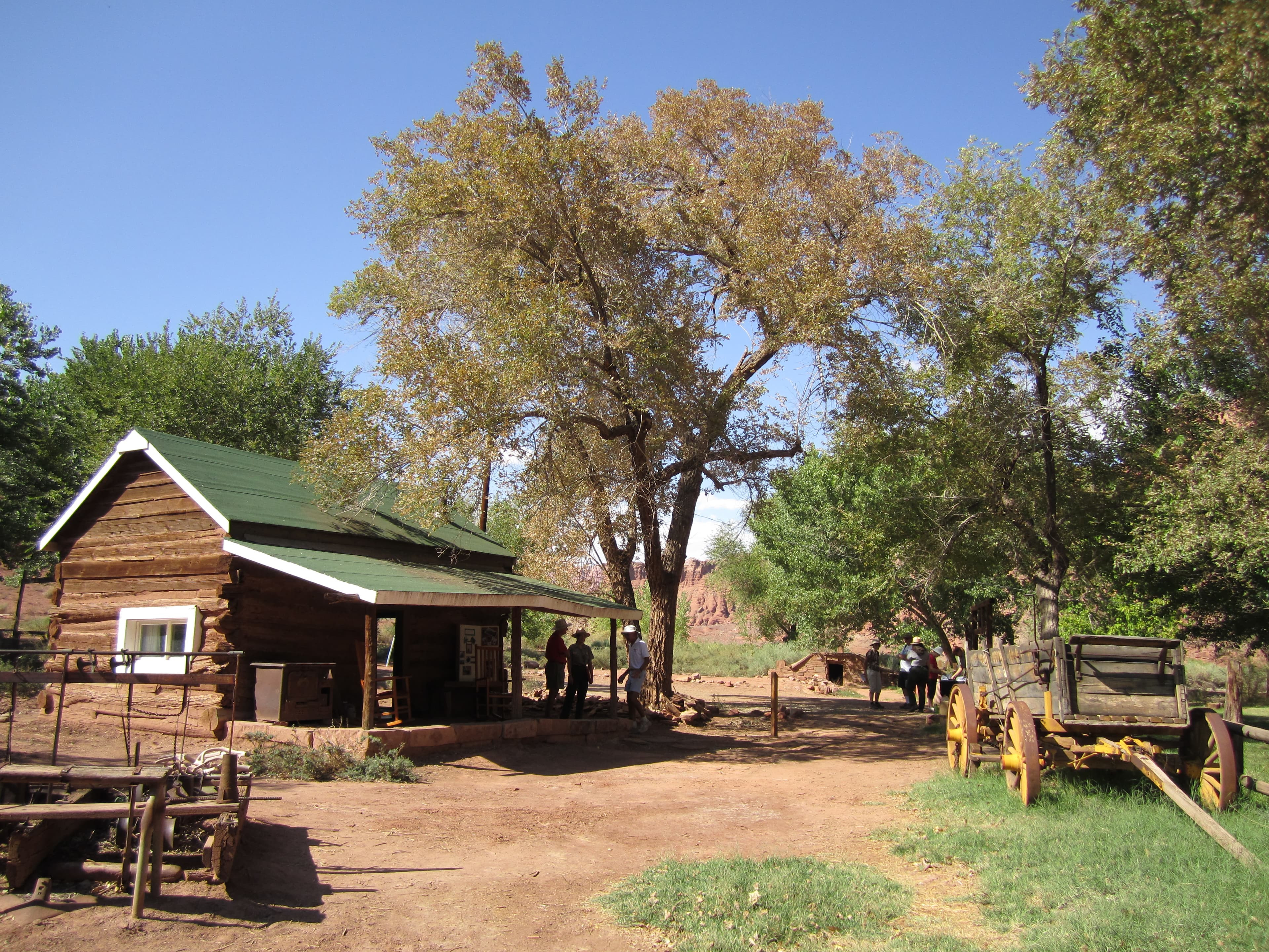
Log cabin and fences with a wooden wagon.
When to Go
Crowd CalendarPlan your trip around peak seasons to avoid crowds or embrace the energy of the busy months. Our crowd predictions are based on historical NPS Visitor Use Statistics.
Jan
Feb
Mar
Apr
May
Jun
Jul
Aug
Sep
Oct
Nov
Dec
Build your Glen Canyon itinerary
Tell Miza your dates, pace, and interests—get a day-by-day plan with hikes, drives, and must-see stops.
Best Time
Year-round
Trip Length
1 day
Searching for the best hotel deals near Glen Canyon National Recreation Area...
Planning Glen Canyon National Recreation Area
These common questions go deeper into logistics and planning. For real-time updates on road closures and current conditions, always check the Alerts section above.