
Park Hours (Today)
All Day
Elk Creek Visitor Center: Closed
Miza AI
Plan your Curecanti trip
About the Park
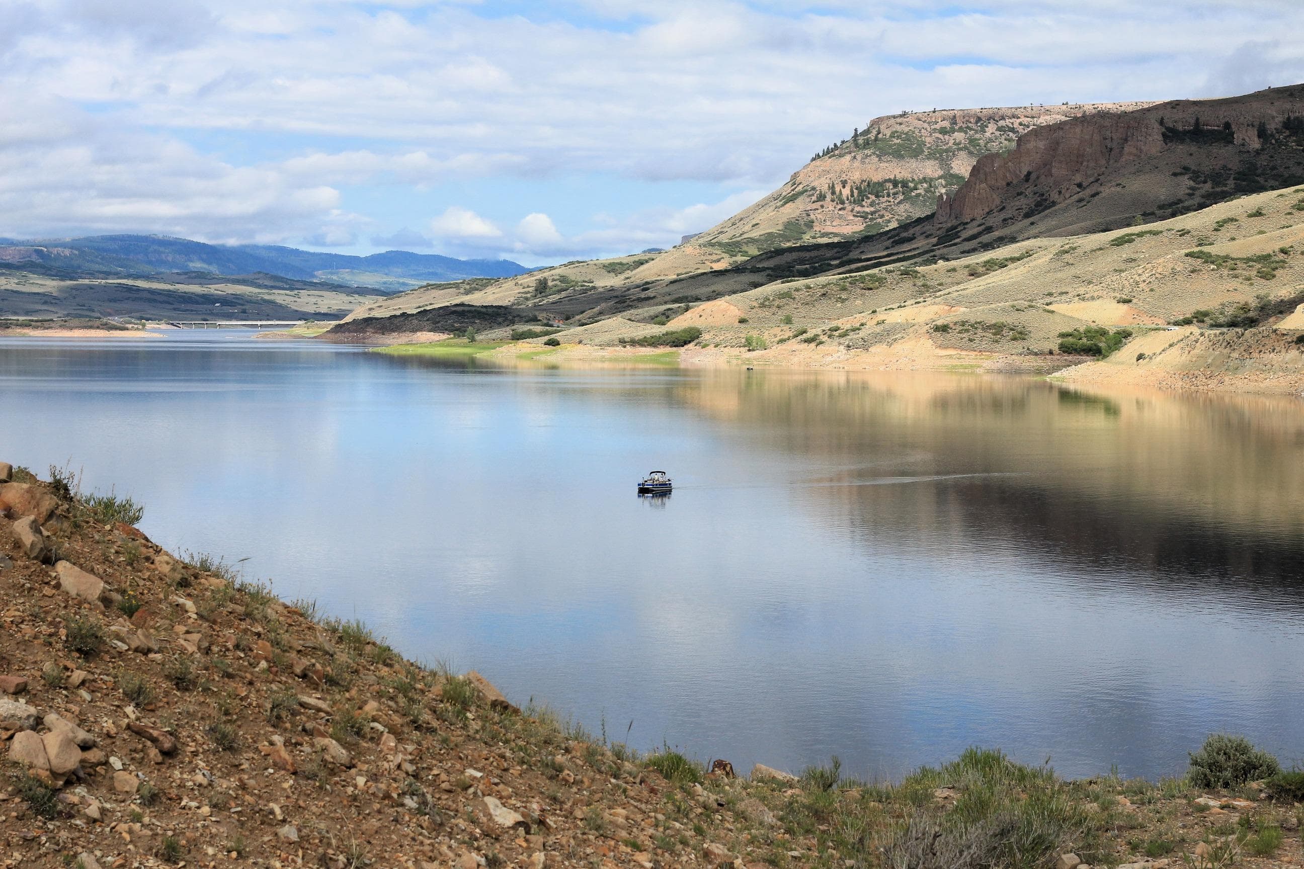
Three reservoirs and surrounding lands make up this recreation area in western Colorado. It is a landscape of tradeoffs; natural and human made features exist together. Geologic wonders are abundant from the sagebrush shrublands to forests. Visitors can experience the park year-round on both land and water.

Ready to explore Curecanti National Recreation Area?
Take the stress out of planning. Our AI will automatically sequence your stops, find the best hotels, and optimize your driving time in seconds.
What to See & Do
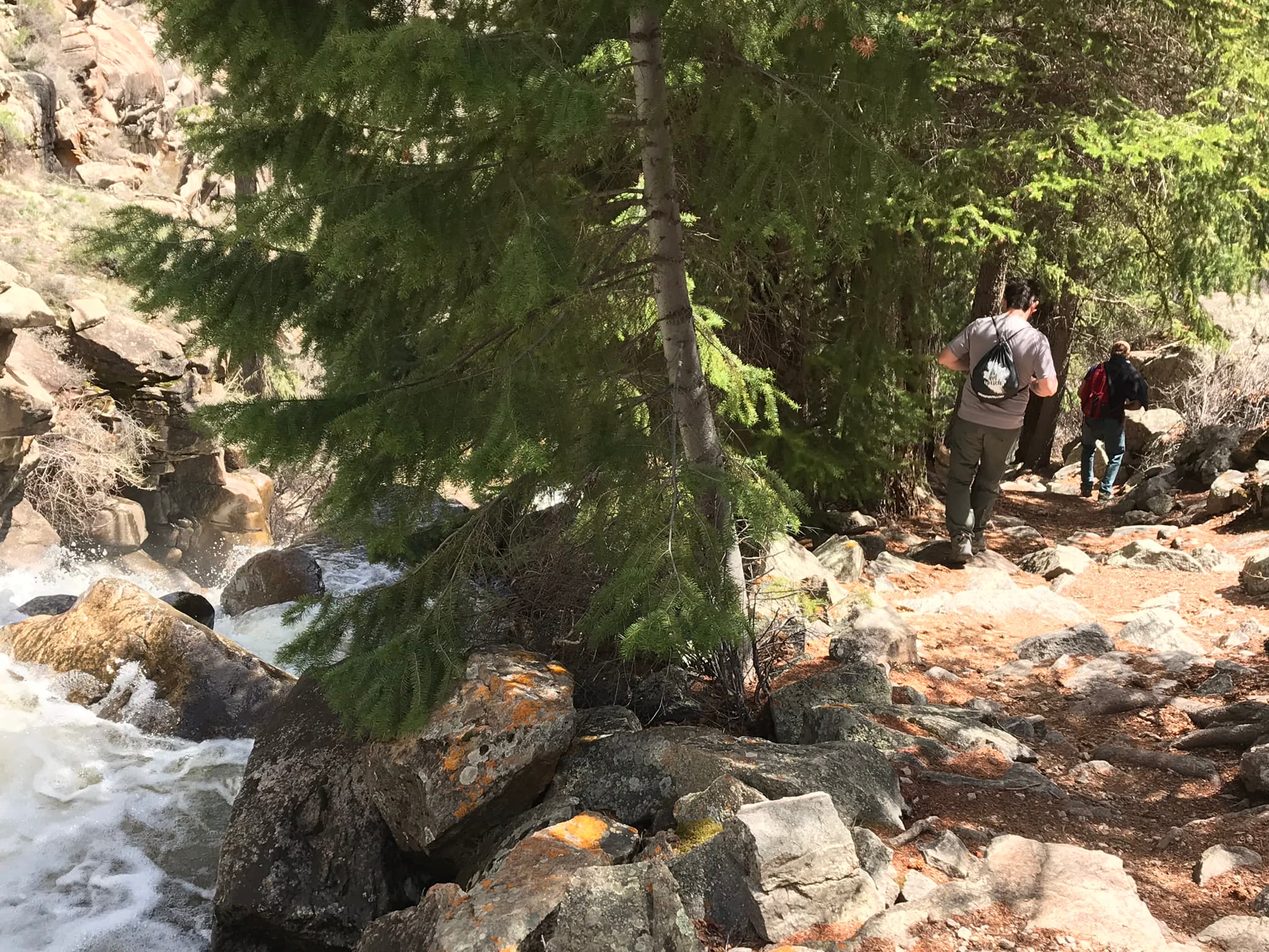
Hike Curecanti Creek Trail
After descending from the high rim of the Upper Black Canyon of the Gunnison, the trail follows Curecanti Creek as it descends toward Morrow Point Reservoir.
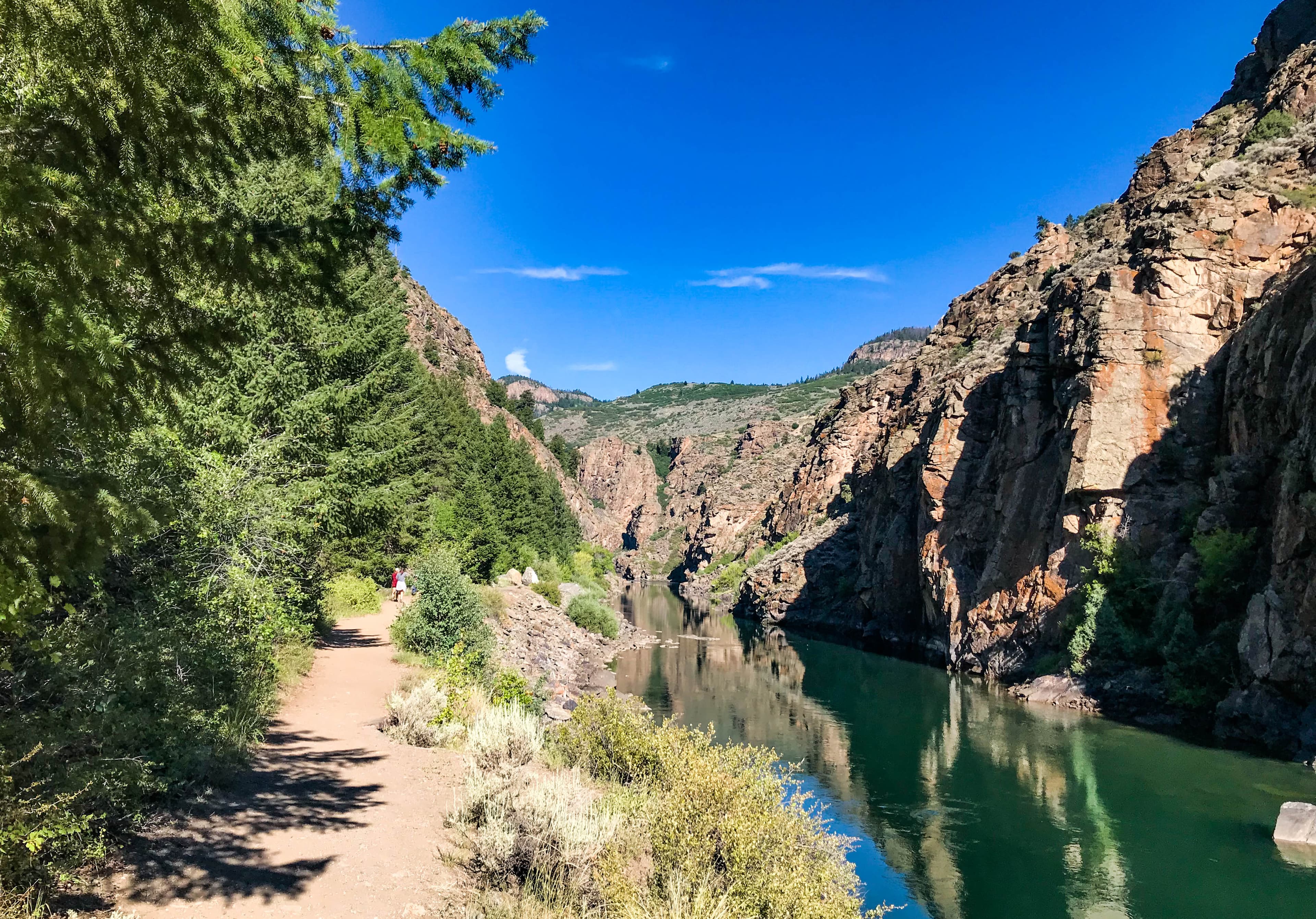
Hike Pine Creek Trail
This trail follows Pine Creek as it cascades into the depths of the upper Black Canyon to Morrow Point Reservoir. It follows the old narrow gauge railroad bed along the reservoir.
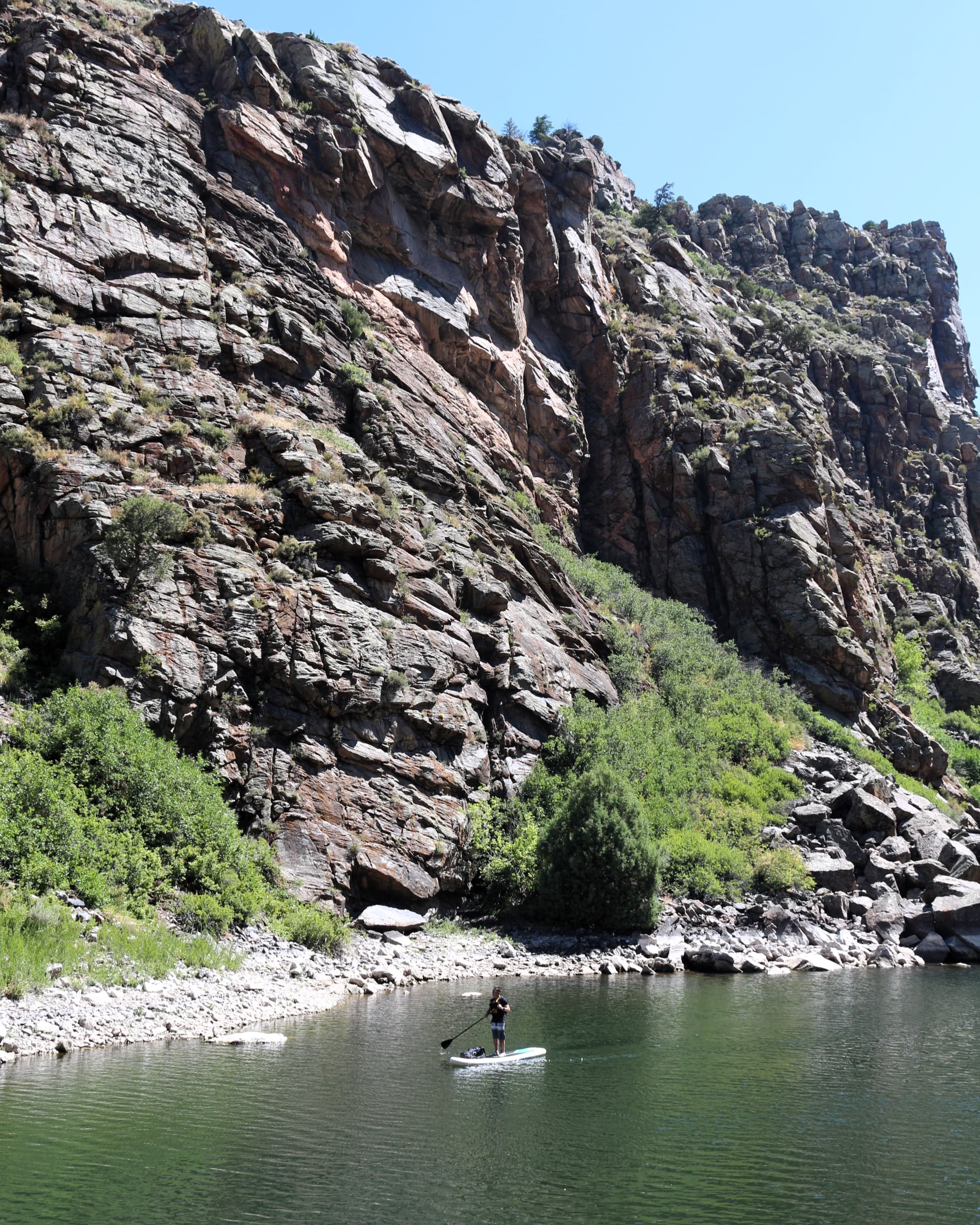
Boat on Morrow Point Reservoir
For the more adventurous, Morrow Point Reservoir is a great location for canoeing or kayaking. The easiest access to launch hand-carried craft is via the Pine Creek Trail.
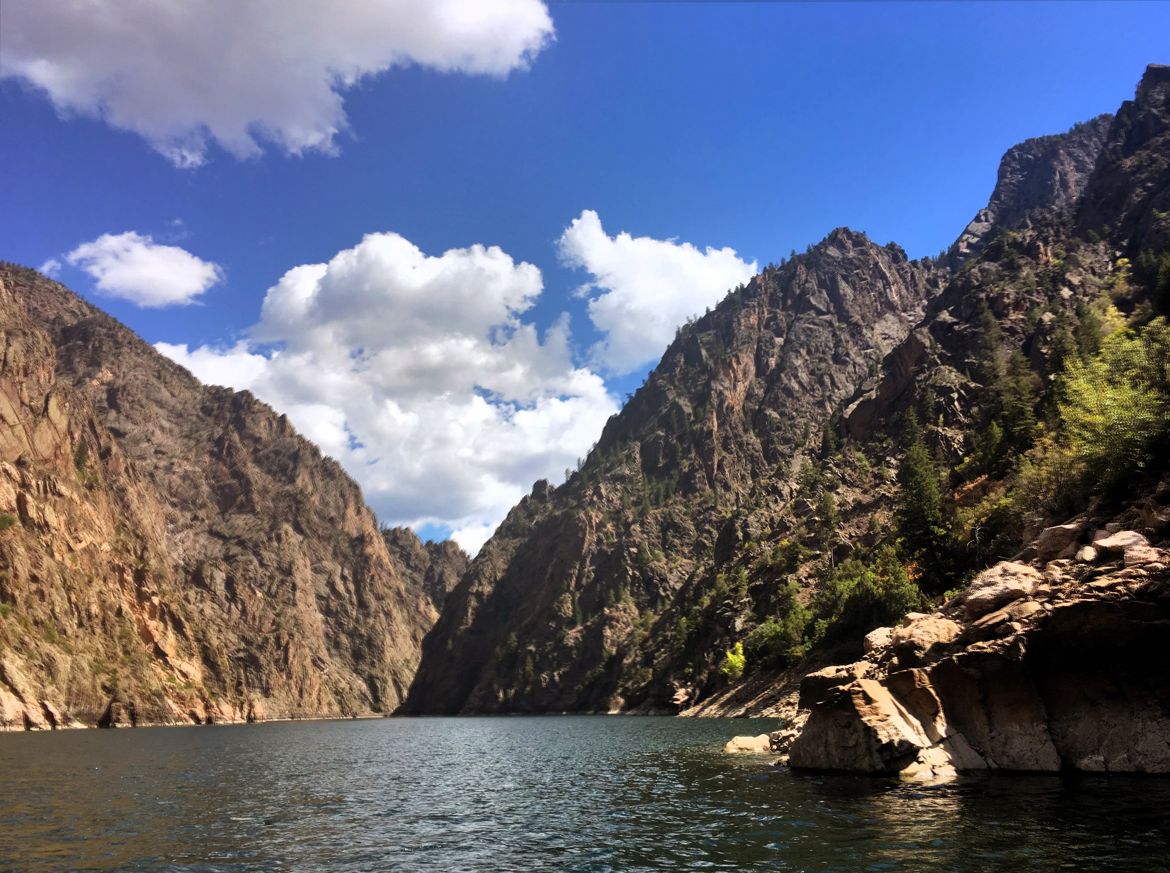
Boat on Crystal Reservoir
Crystal Reservoir provides backcountry flatwater boating opportunities. Hand-carried craft only. Access is from Mesa Creek Trail located at Cimarron.
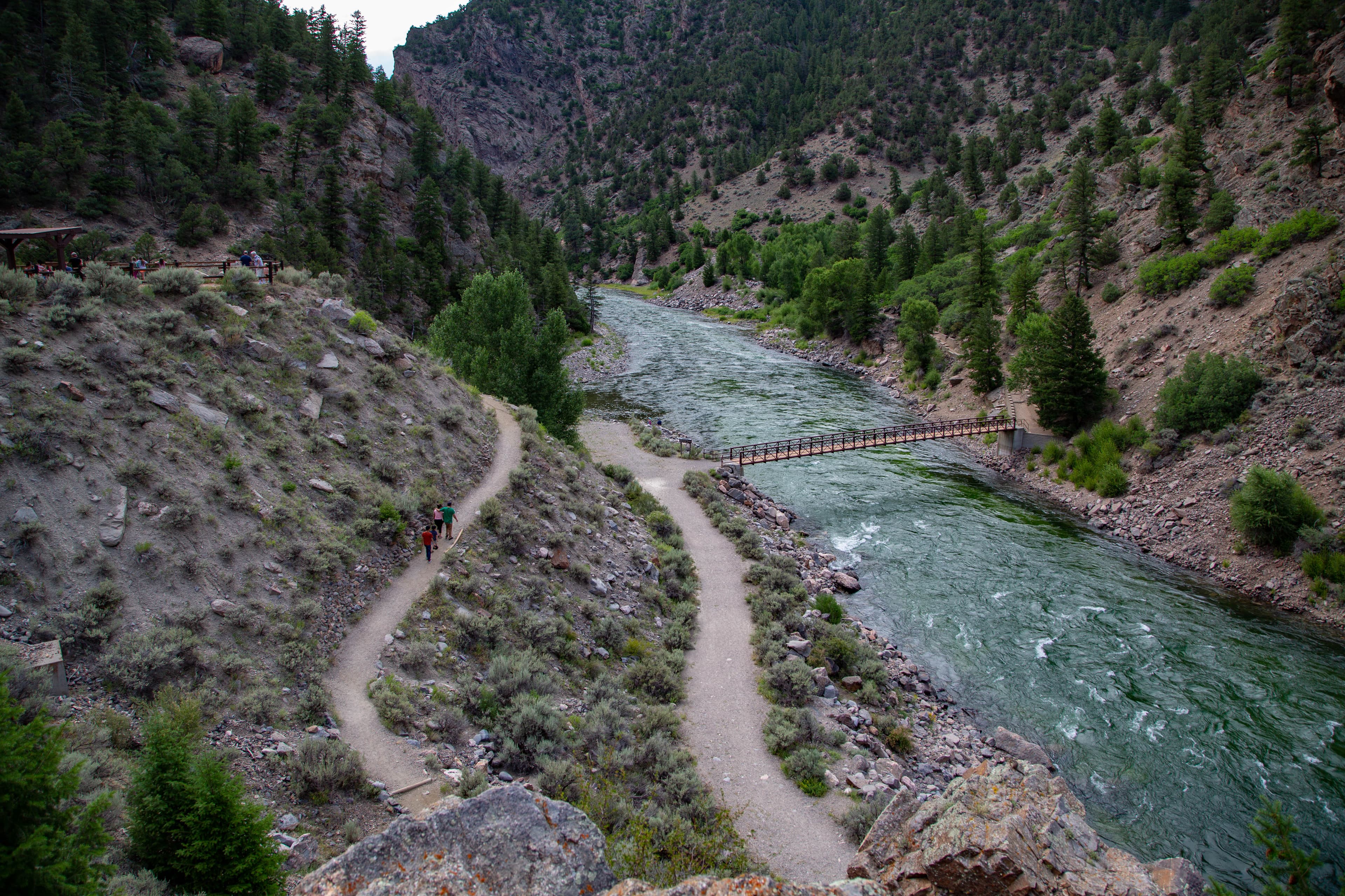
Hike Mesa Creek Trail
This trail crosses Crystal Reservoir via footbridge and meanders along the river's edge for views of the sheer canyon walls.
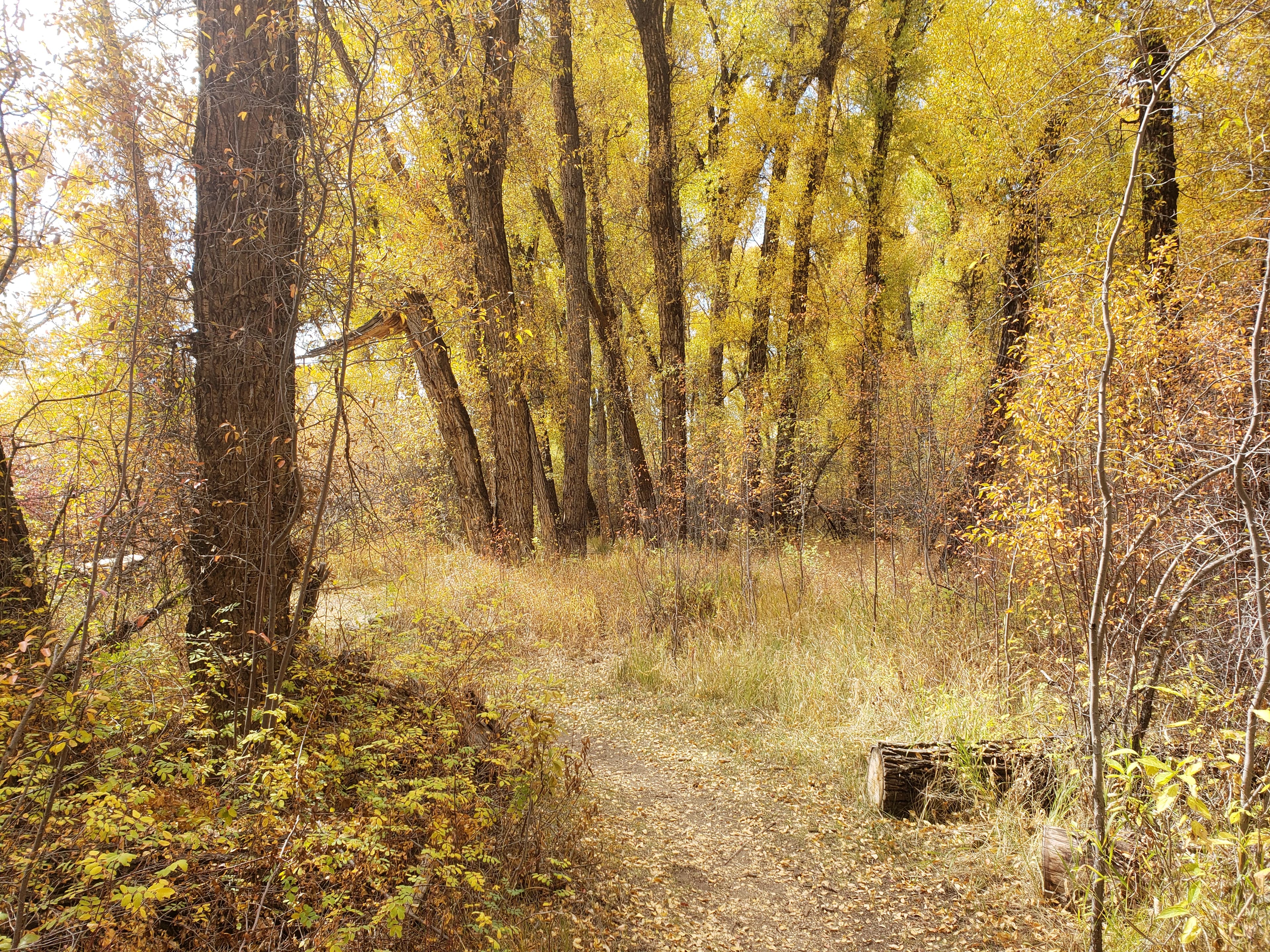
Hike Neversink Trail
This short trail is located nearest to Gunnison along the Gunnison River and provides good birdwatching opportunities.
Visitor Centers
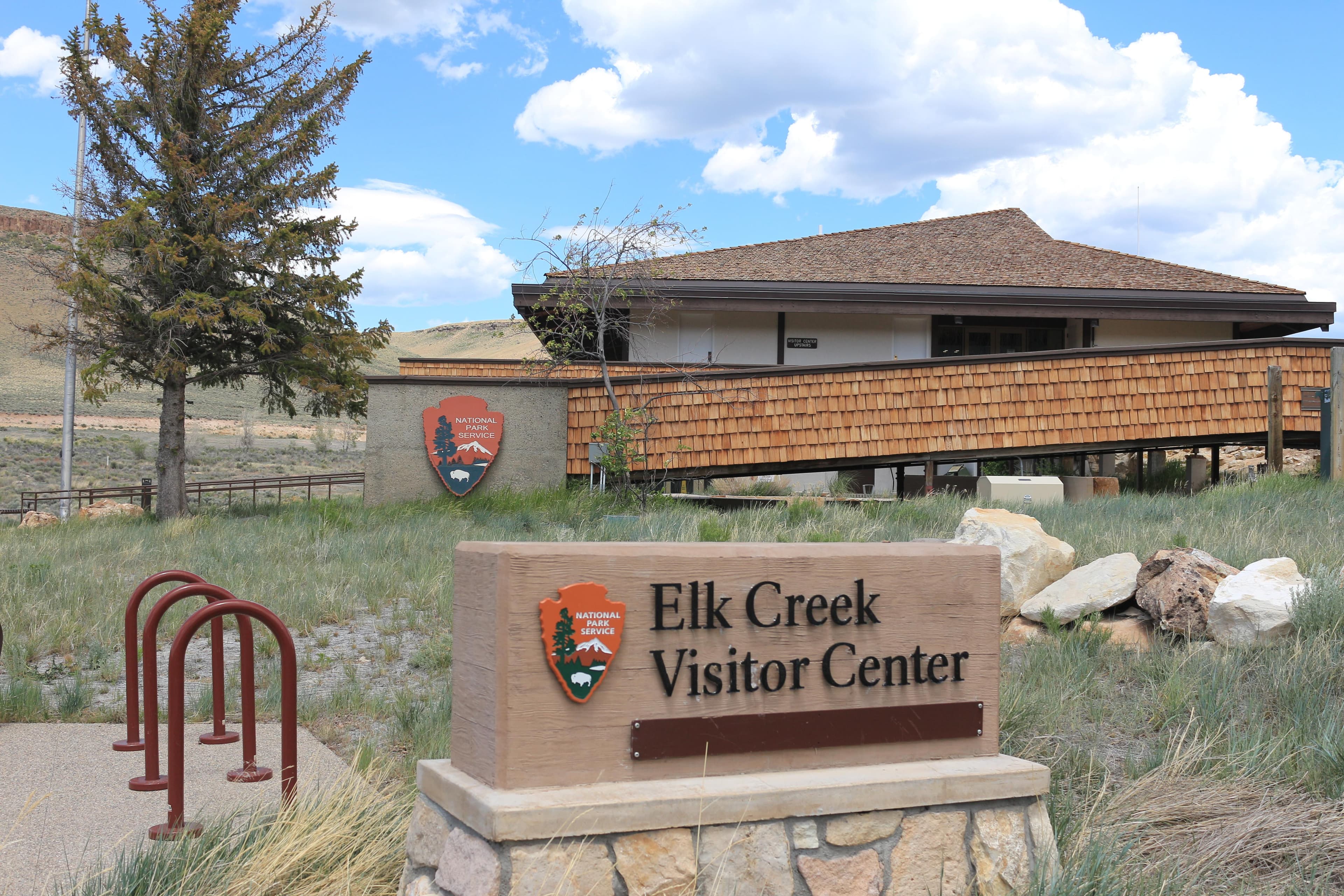
Elk Creek Visitor Center
This visitor center provides information, exhibits, book and map sales, restrooms, and outdoor seating. Water is available inside when the building is open.
Where to Stay
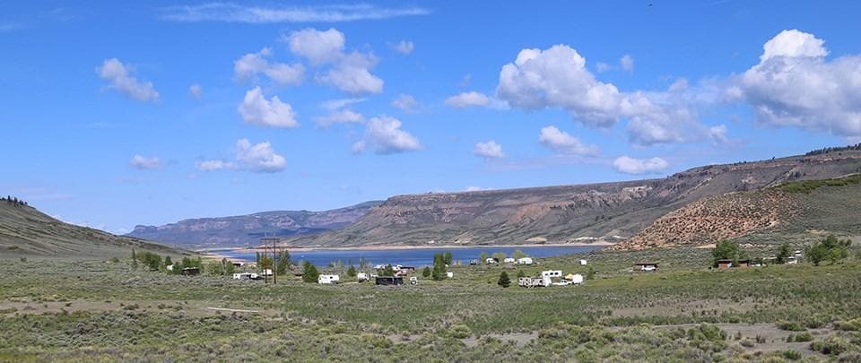
Elk Creek Campground
Elk Creek Campground is located 16 miles west of Gunnison on U.S. Highway 50 on the shore of Blue Mesa Reservoir. We recommend making reservations prior to coming to Curecanti because cell service may be unavailable. All sites can be reserved and can be made the same day. All types of camping from tents to large RVs can be accommodated. Very few sites have trees. This is the only campground with electric hookups (Loops C and D) at Curecanti. Elevation: 7540 feet
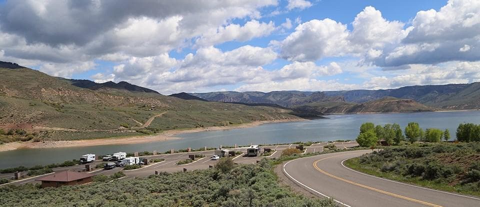
Lake Fork Campground
The campground is located 27 miles west of Gunnison on CO Highway 92 near the intersection with U.S. Highway 50 on the shore of Blue Mesa Reservoir. We recommend making reservations at recreation.gov prior to coming to Curecanti because cell service and first-come, first-served sites may be unavailable. Reservations may be made on recreation.gov from mid-May to mid-September. Tents and large RVs can be accommodated. The campground is paved except for the tent walk-in sites. Elevation: 7580 feet
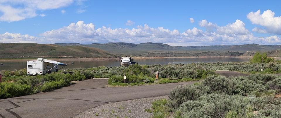
Stevens Creek Campground
The campground is located 12 miles west of Gunnison on U.S. Highway 50 on the shore of Blue Mesa Reservoir. Tents to large RVs can be accommodated. The 53 sites are surrounded by sage and rabbitbrush. There is no natural shade. This campground uses the Recreation.gov app's Scan & Pay option. Please have the app downloaded before arrival. Registration for campsites are in-person through the app. Elevation: 7540 feet
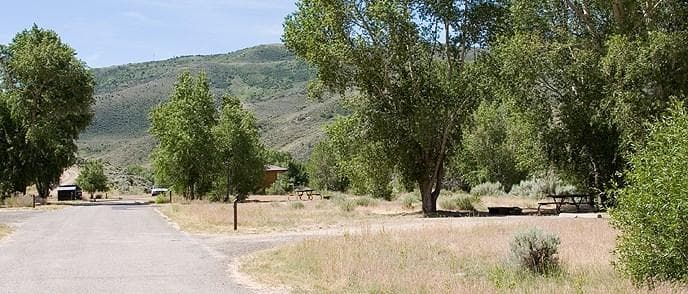
Cimarron Campground
Cimarron Campground is located 20 miles (32 km) east of Montrose, CO on U.S. Highway 50 at the site of Cimarron, a historic narrow gauge railroad town. The campground accommodates tents to medium sized RVs. All sites are first-come, first-served and the campground rarely fills. Railroad exhibits are adjacent to the campground. Crystal Reservoir near Morrow Point Dam is approximately 1.5 miles away (2.4 km).
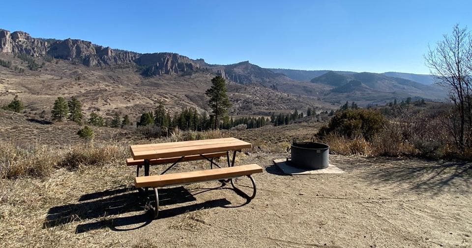
Ponderosa Campground
Ponderosa Campground is located at the northwest end of the Soap Creek Arm of Blue Mesa Reservoir. From U.S. Highway 50, follow CO Highway 92 1/2 mile past Blue Mesa Dam to Soap Creek Road. Proceed 7 miles north on the gravel Soap Creek Road. Tents and medium sized RVs can be accommodated at Ponderosa. All sites are first-come first-served. Elevation: 7880 feet Note: During dry conditions, the first 7 miles of Soap Creek Road are passable to trailers and RVs. Rain can make the Soap Creek Road impassable.
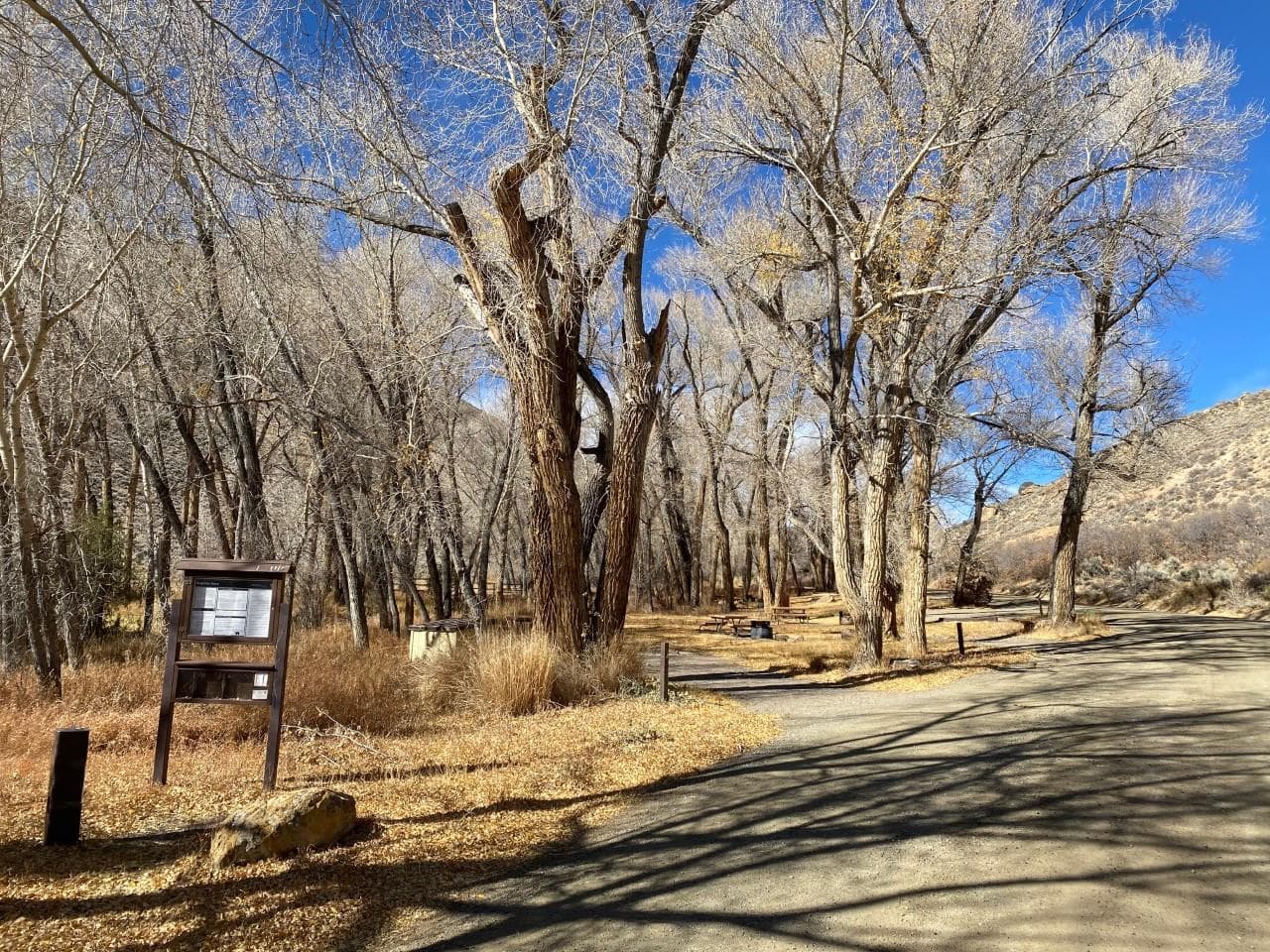
Dry Gulch Campground
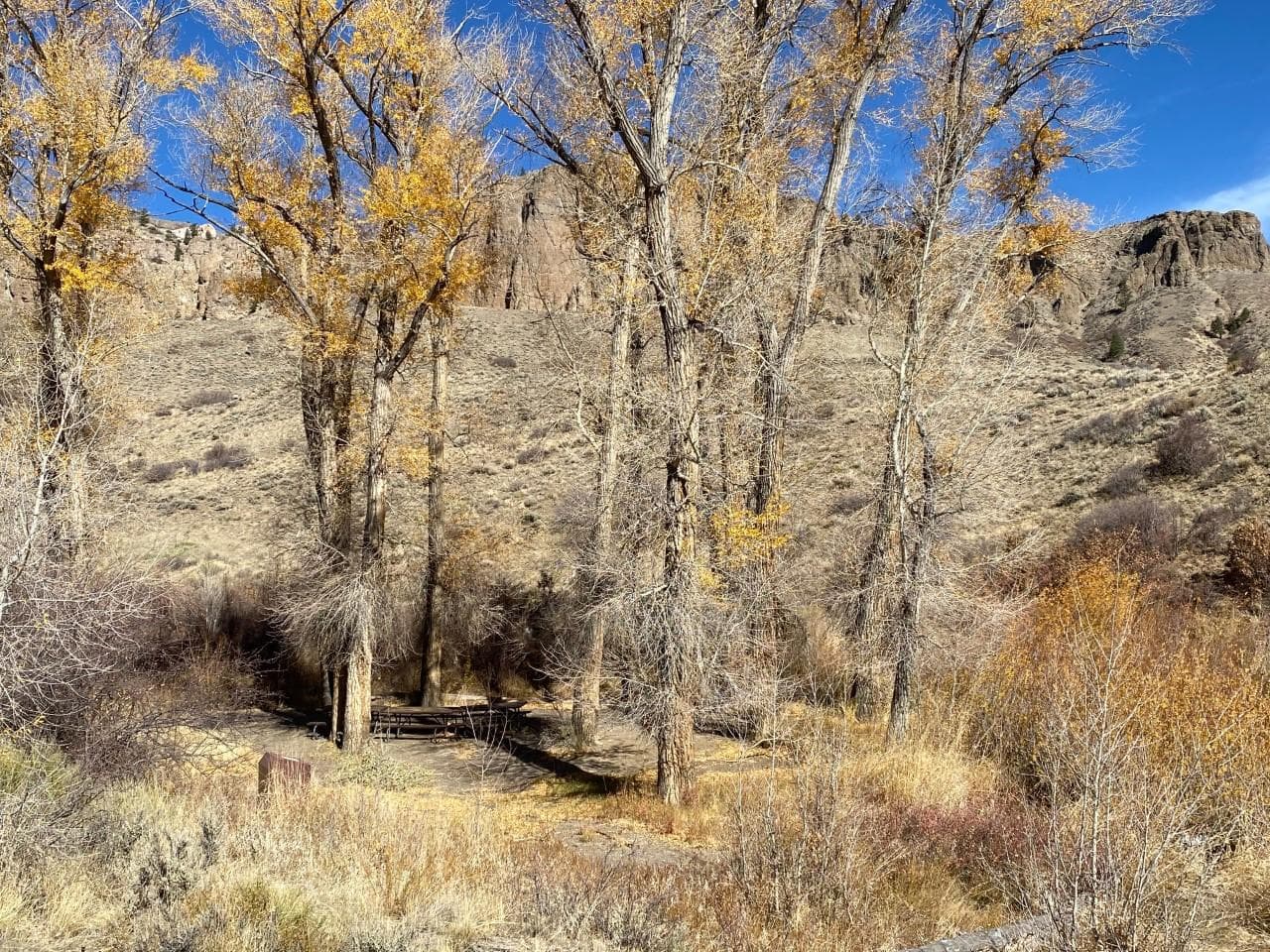
Dry Gulch Campground is located 17 miles west of Gunnison just north of U.S. Highway 50. The campground is shaded by large cottonwood trees and can accommodate tents or medium sized RVs. All sites are first-come first-served. A horse corral is available. Elevation: 7560 feet
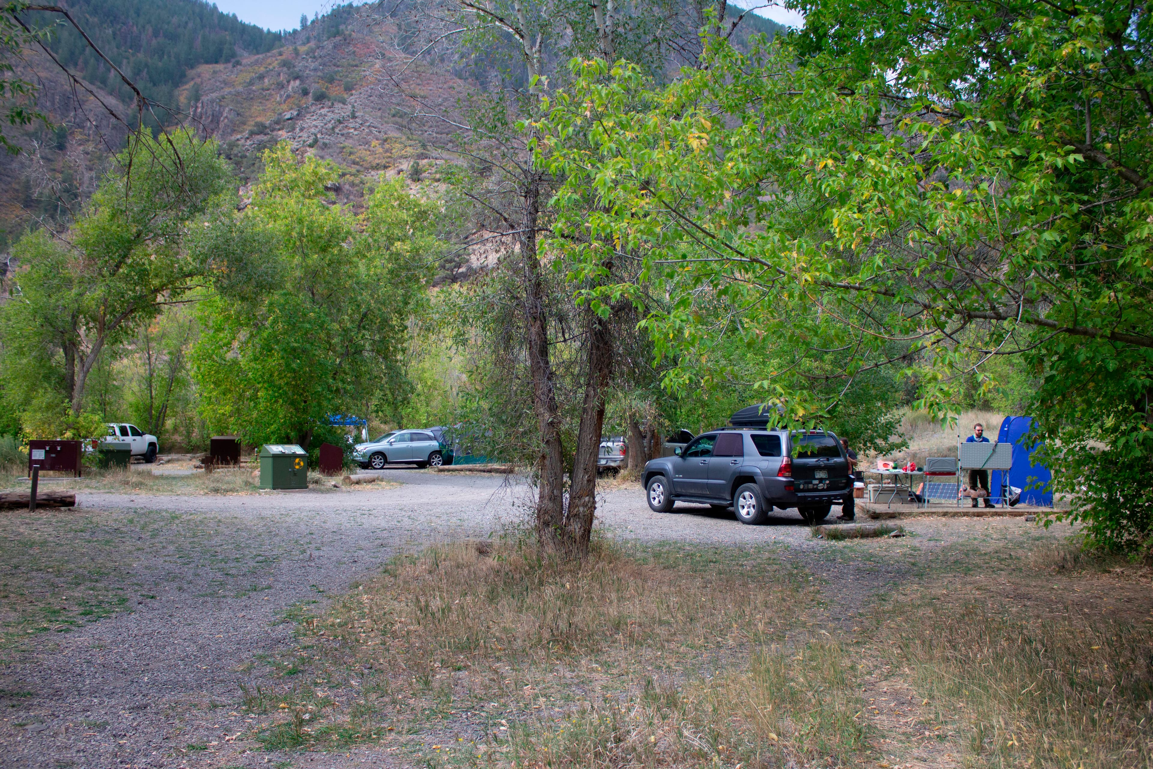
East Portal Campground
East Portal Campground is located within Curecanti National Recreation Area, but is adjacent to and only accessible from Black Canyon National Park ($30 entrance fee). This small campground is located at the bottom of the canyon along the Gunnison River, shaded by box elder trees. The campground is closed in winter. East Portal Road is closed to vehicles in winter but open to pedestrians and cyclists. The Bureau of Reclamation determines when East Portal Road closes. Elevation: 6526 feet (1989 m)
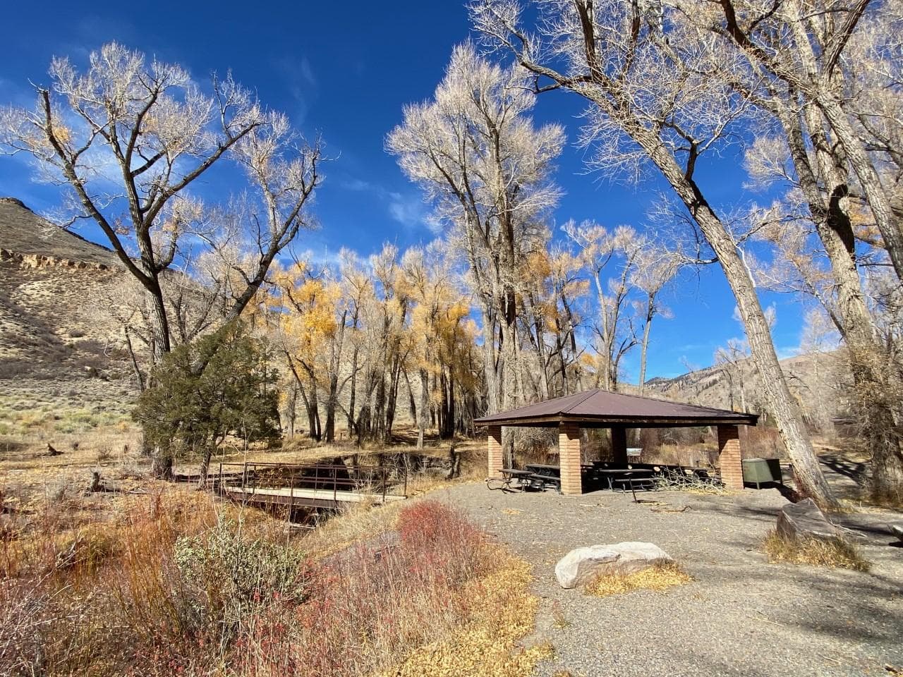
East Elk Creek Group Campground
East Elk Creek is a group campsite that can accommodate a total of 50 people. The site is located 16.5 miles west of Gunnison just north of U.S. Highway 50. The campsites are located under large cottonwood trees, and space is available for tents or RVs. Elevation: 7535 feet
Red Creek Campground
Red Creek Campground is located 19 miles west of Gunnison just north of U.S. Highway 50. There is only 1 site--a group site available by reservation only. The group site can accommodate a maximum of 20 people. RVs longer than 22 feet are not recommended due to a lack of space to turn around. Elevation: 7542 feet
Gateview Campground
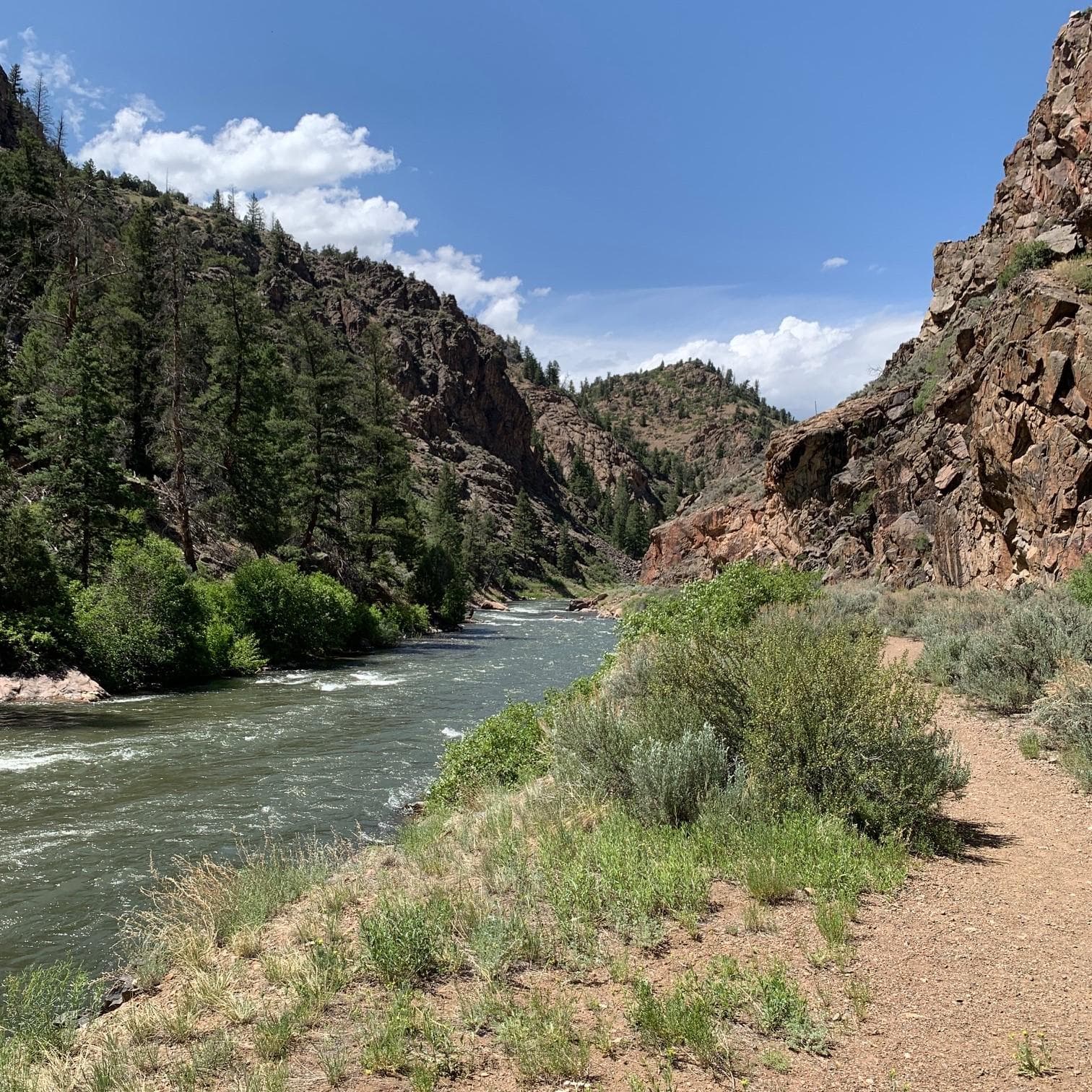
Gateview Campground is located in a deep, narrow canyon at the extreme south end of the Lake Fork Arm of Blue Mesa Reservoir. Take CO Highway 149 7 miles west of Powderhorn, then 6 miles north on the gravel Blue Mesa Cutoff Road. All sites are first-come first-served. Gateview is best suited for tent camping. Due to the narrow gravel road, even small RVs or pop-up trailers are not recommended. Elevation: 7538 feet
Getting Here & Transit
How to Get Here
Curecanti is located between the Colorado towns of Gunnison (to the east), Montrose (to the west), and Lake City (to the south). The West Elk Mountain Wilderness area borders Curecanti to the north. U.S. Highway 50 runs the length of Curecanti east to west.
Park Amenities
Operating Hours
Curecanti National Recreation Area
Open 24 hours per day, 365 days a year.
- MondayAll Day
- TuesdayAll Day
- WednesdayAll Day
- ThursdayAll Day
- FridayAll Day
- SaturdayAll Day
- SundayAll Day
Live Webcams
Click any camera to open the live feed on the NPS website.
Photos
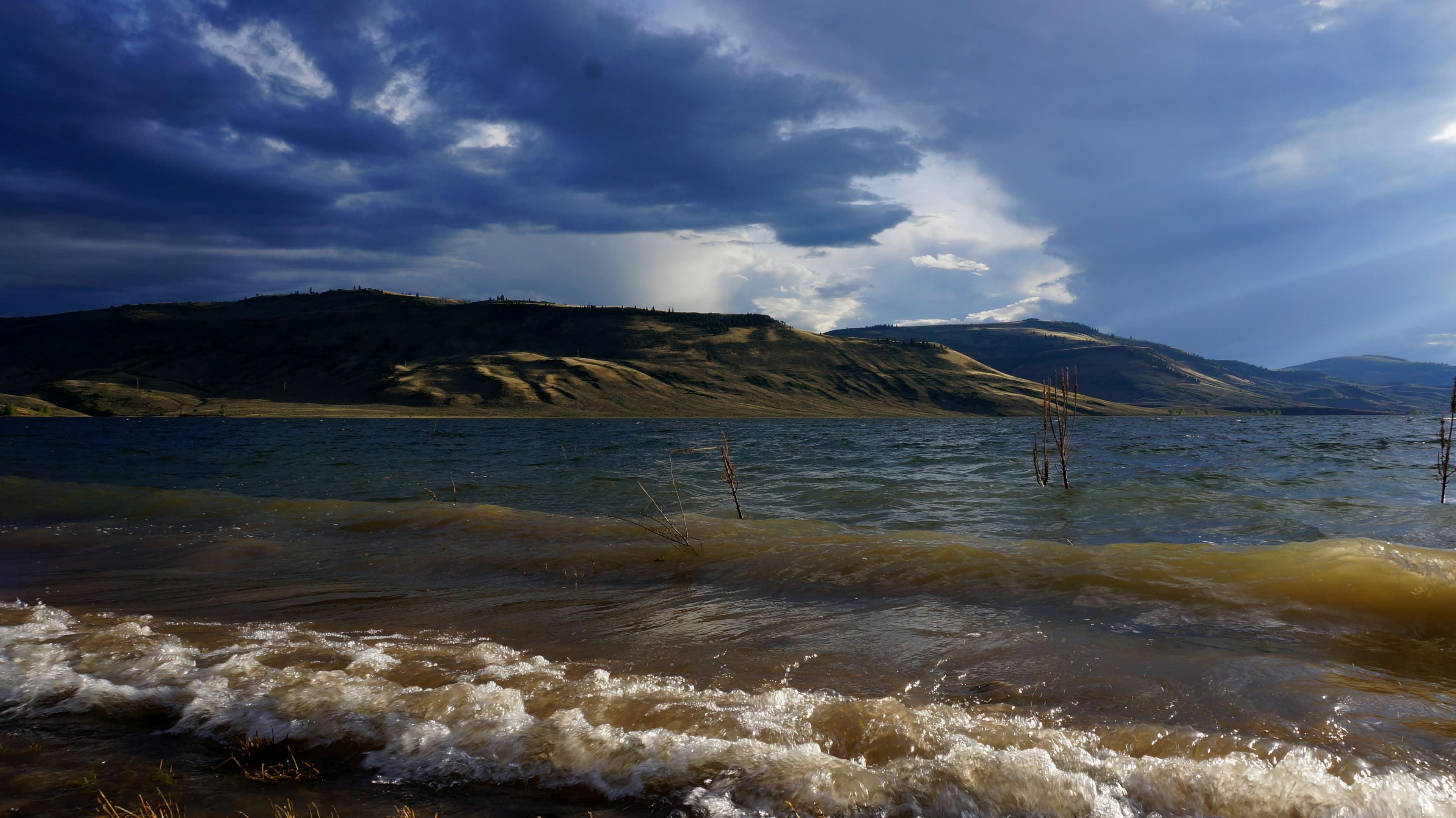
Underexposed shot of waves coming off a reservoir. Mesas in the background.
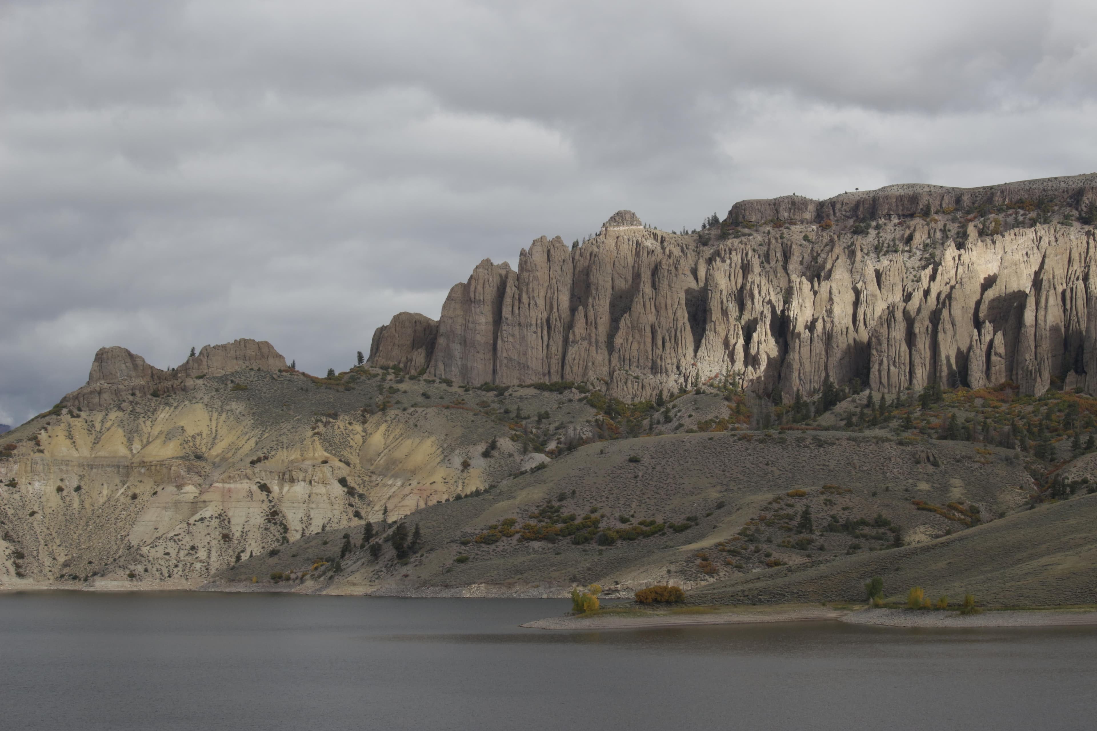
Large pinnacle spires across a body of water
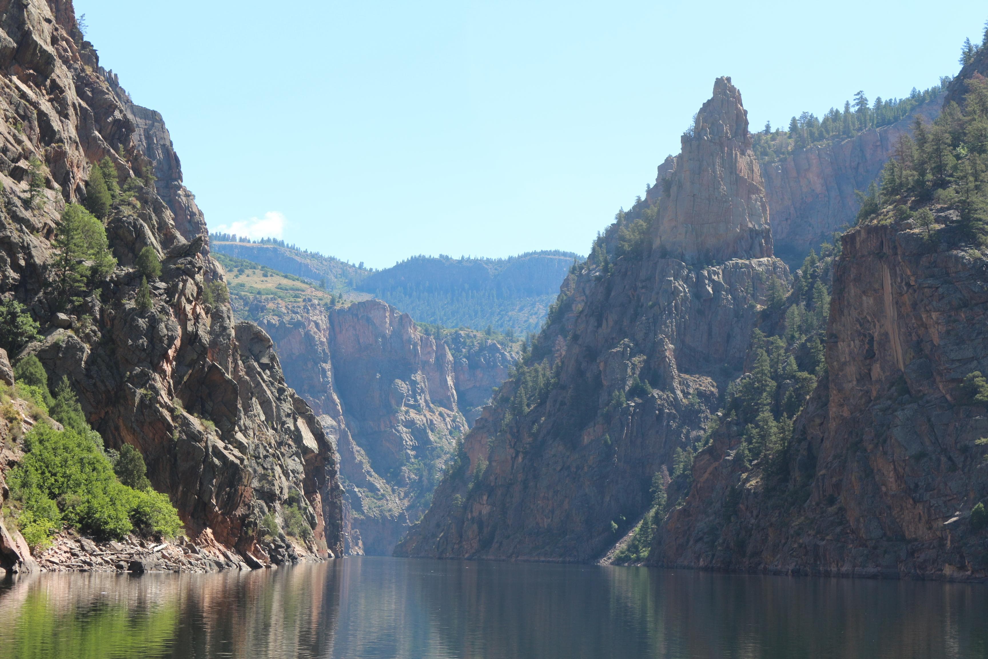
Tall spires alongside steep canyon walls. A narrow body of water flows below.
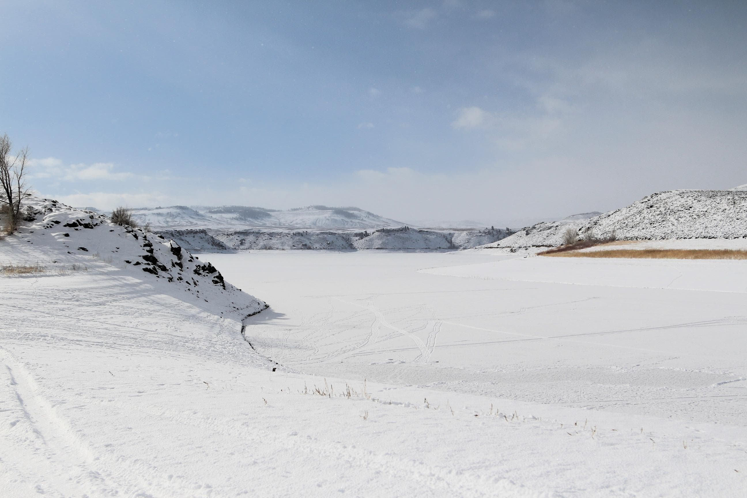
Frozen over body of water with snow covering it. Mesas are on the edge.
When to Go
Crowd CalendarPlan your trip around peak seasons to avoid crowds or embrace the energy of the busy months. Our crowd predictions are based on historical NPS Visitor Use Statistics.
Jan
Feb
Mar
Apr
May
Jun
Jul
Aug
Sep
Oct
Nov
Dec
Build your Curecanti itinerary
Tell Miza your dates, pace, and interests—get a day-by-day plan with hikes, drives, and must-see stops.
Best Time
Year-round
Trip Length
1 day
Searching for the best hotel deals near Curecanti National Recreation Area...
Planning Curecanti National Recreation Area
These common questions go deeper into logistics and planning. For real-time updates on road closures and current conditions, always check the Alerts section above.