
Park Hours (Today)
All Day
City of Rocks Visitor Center: 8:00AM - 4:30PM
Miza AI
Plan your City Of Rocks trip
About the Park
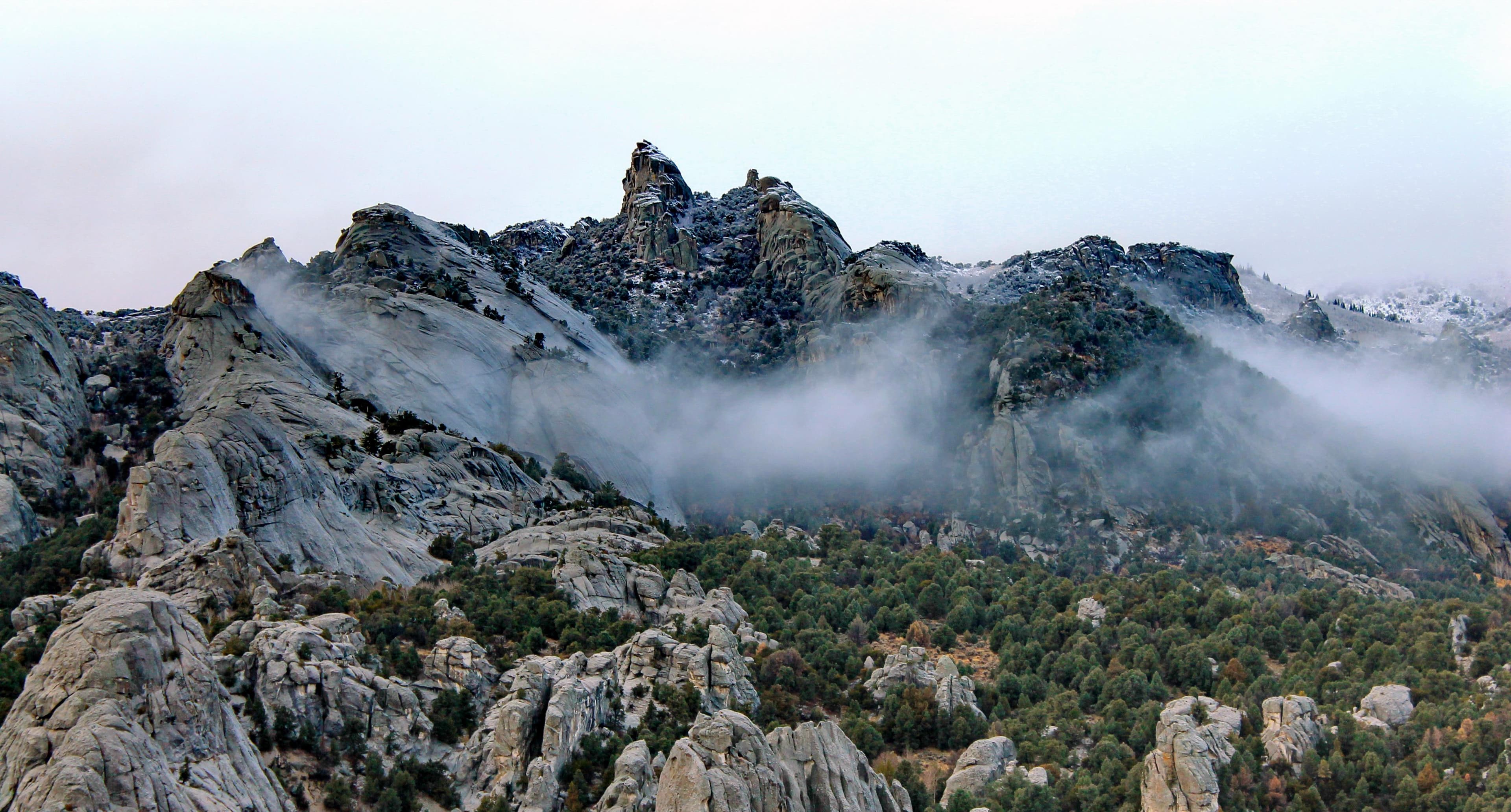
Described by California Trail emigrants as “a city of tall spires,” “steeple rocks,” and “the silent city,” this awe-inspiring landscape continues to captivate. Today, it beckons rock climbers, hikers, campers, hunters, and adventurers with its dramatic scenery, fascinating geology, and echoes of the Old West. The Silent City is ready for you to explore.

Ready to explore City Of Rocks National Reserve?
Take the stress out of planning. Our AI will automatically sequence your stops, find the best hotels, and optimize your driving time in seconds.
What to See & Do
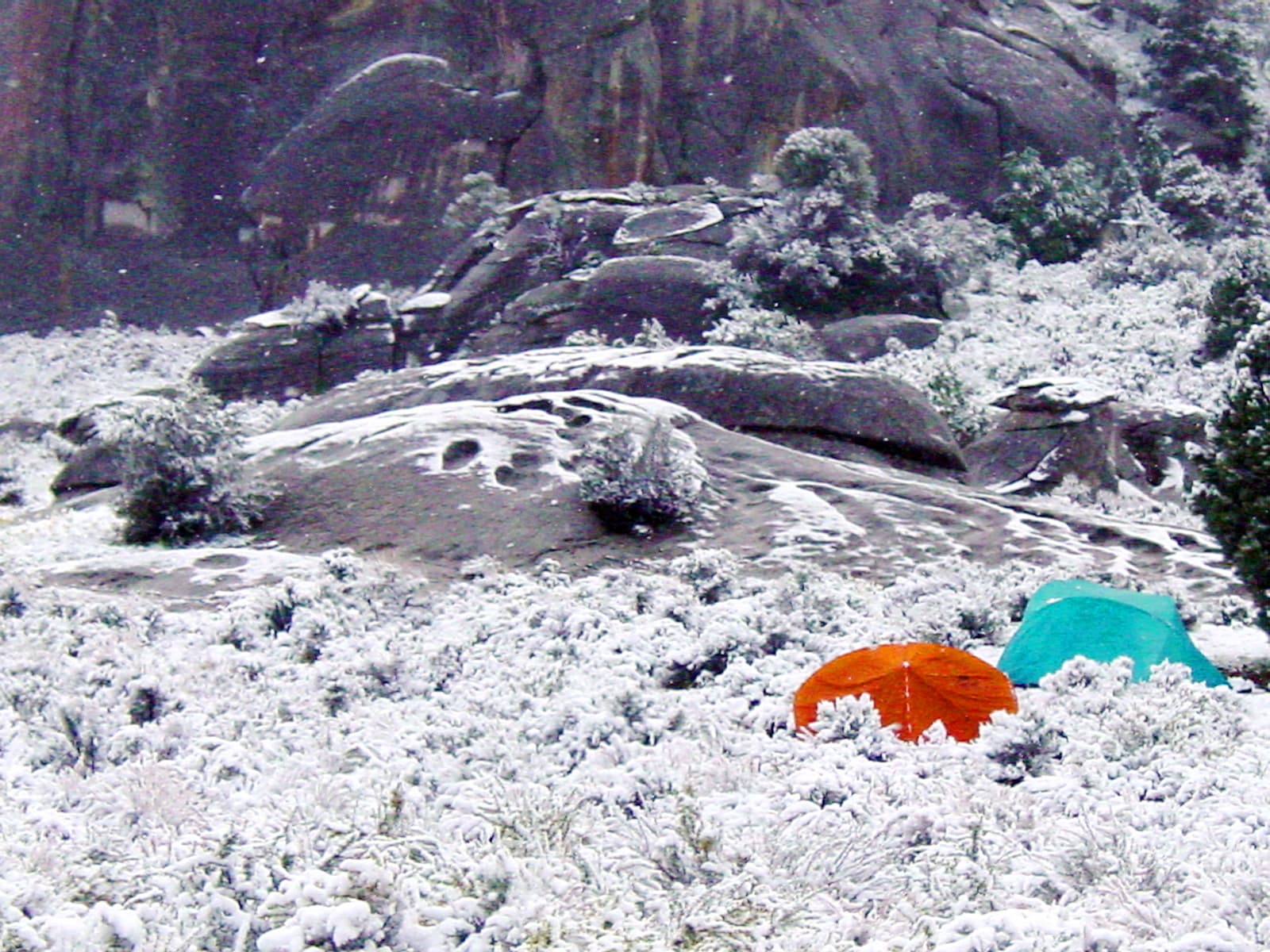
Winter Camping
Immerse yourself in the solitude of the "Silent City".
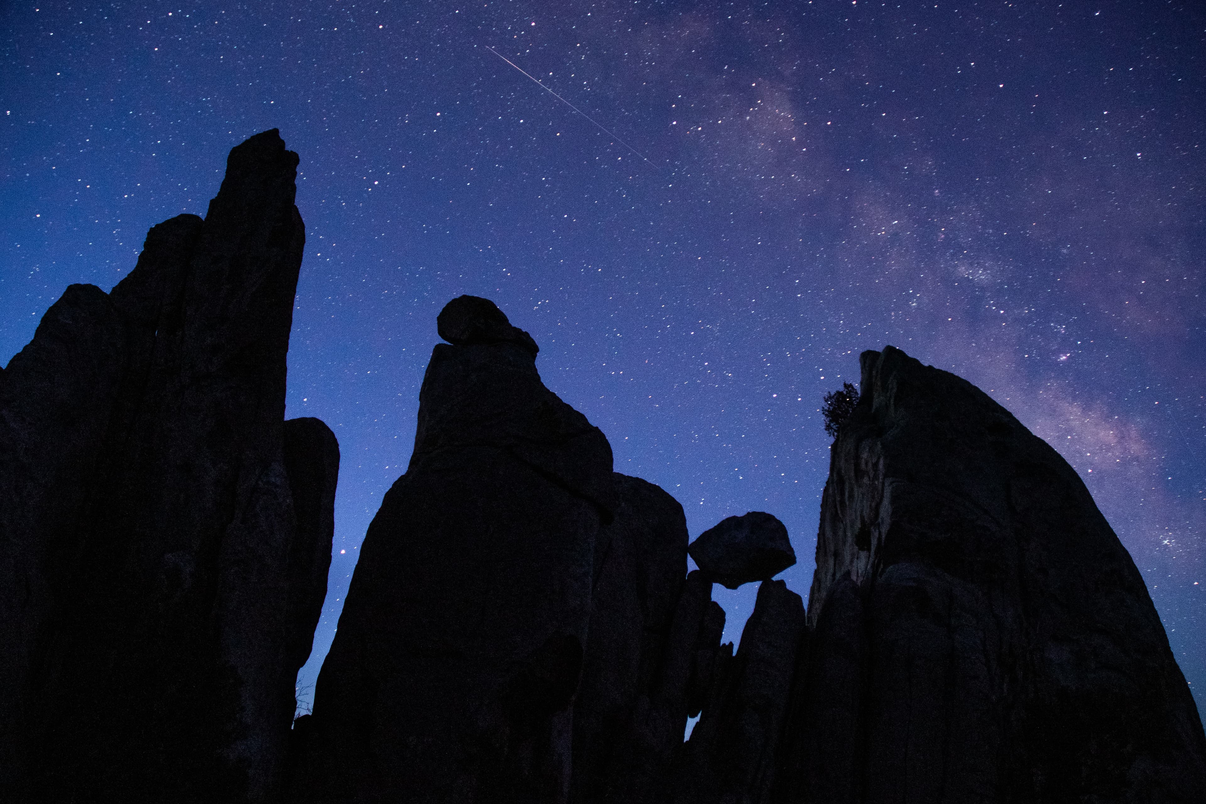
Explore the Night Sky
A day in the park doesn't have to end when the sun goes down! A whole new world comes alive at night and is waiting to be explored. The dark sky over City of Rocks is an excellent place to experience the beauty of the night.
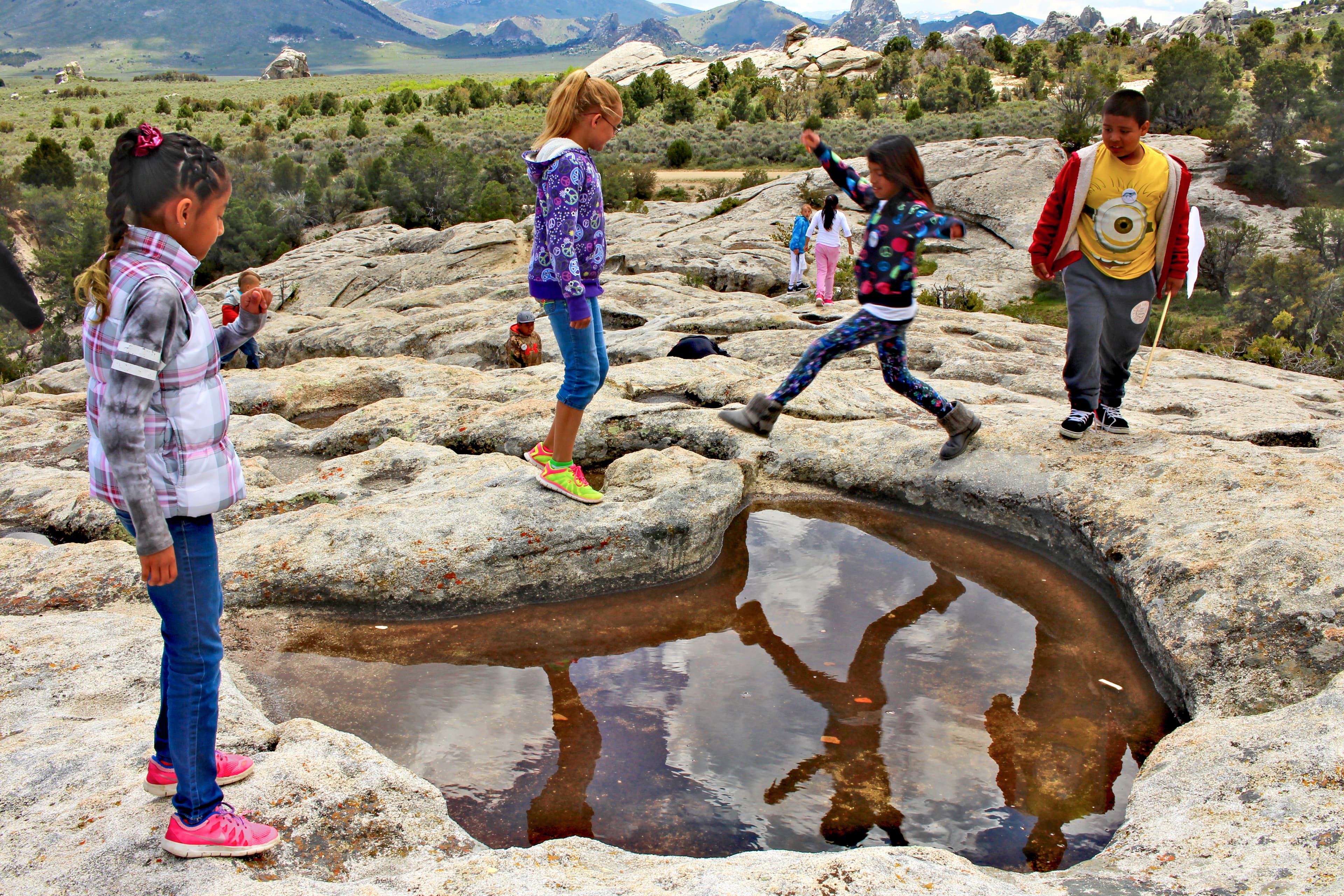
Become a City of Rocks Junior Ranger
Junior Rangers "Explore, Learn, and Protect" their national parks. Pick up a free booklet from the Visitor Center to learn about geology, nature, and history in City of Rocks National Reserve. Complete fun activities like scavenger hunts, fill-in-the-blanks, and word searches. Once you've finished the recommended number of activities, turn in the booklet, take the park oath, and earn your Junior Ranger Badge!
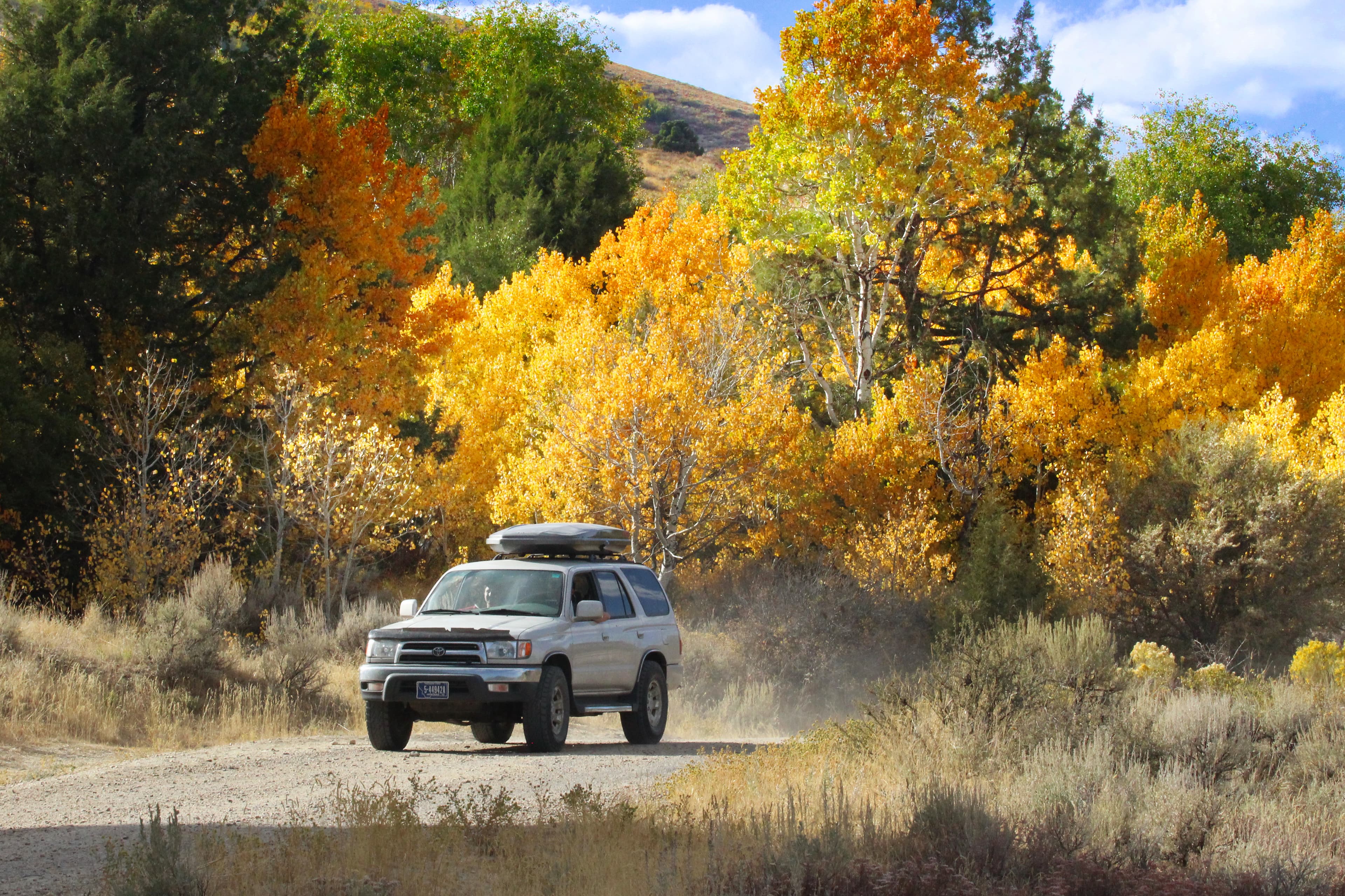
Geologic & Historic Sites Driving Tour
A self-guided journey to discovering geologic wonders and historical sites in City of Rocks National Reserve. As you drive through the Reserve you will be able to view the featured rock formations and historic sites from your vehicle. Use your imagination as you observe the rocks to see animals, faces, and buildings and experience what it might have been like in this area in the past as you explore remnants of history.

Disc Golf at Castle Rocks
With the dramatic Castle Rocks landscape in the backdrop, this small three-hole disc golf course is fun for all ages and abilities. The lush grassy area of Castle Rocks Ranch has large shady trees that provide a welcome reprieve from summer heat. There are bathrooms, and picnic facilities in this area with more a short distance up the road at Stines Creek.
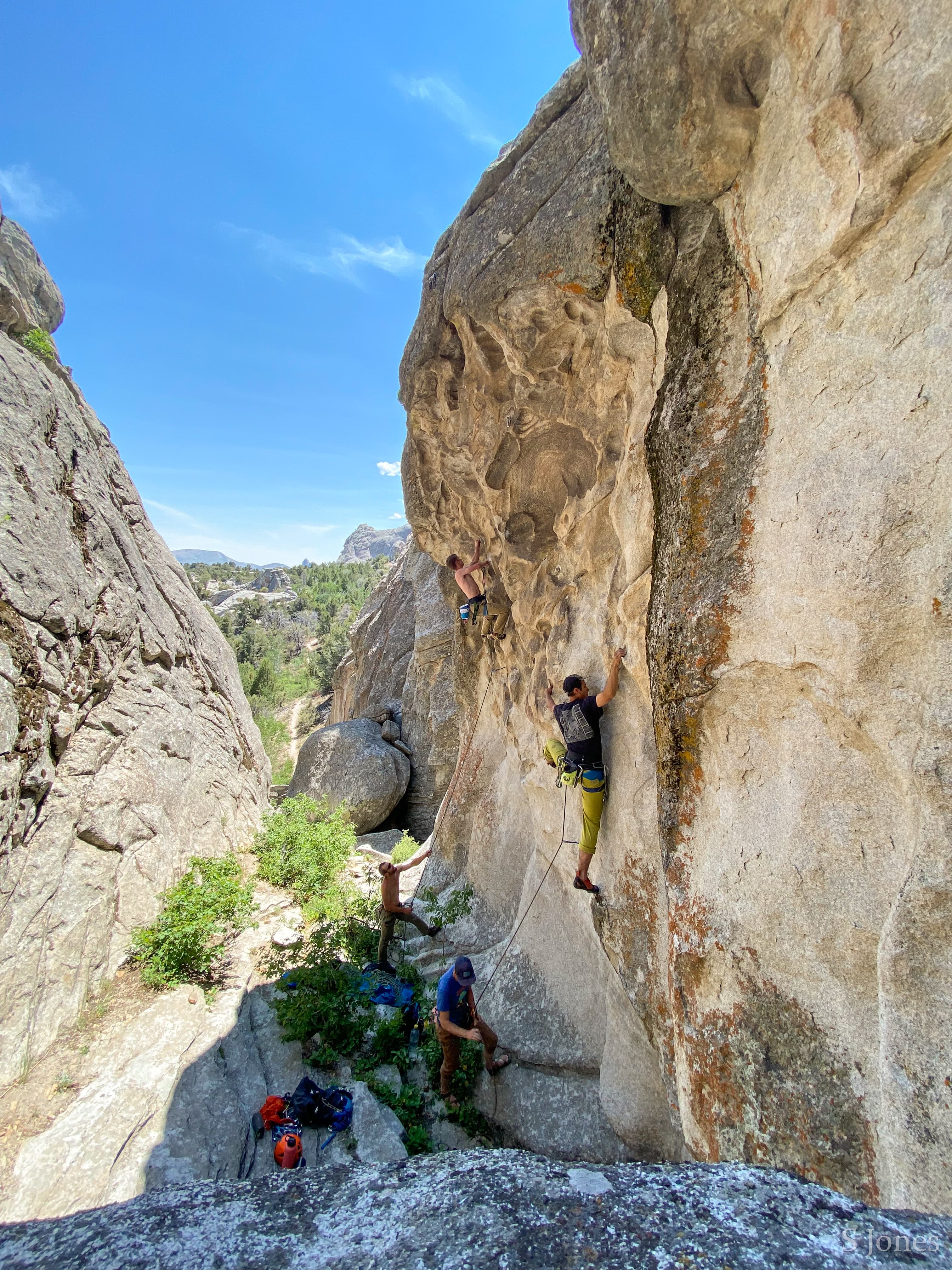
Rock Climbing in City of Rocks and Castle Rocks
Popular since the 1970's, City of Rocks granite is internationally renowned among climbers. There are over 600 routes here, both traditional and sport. Climbs vary from 30-600 feet, rating from the relatively easy 5.6 to the extremely difficult 5.14.
Self-Guided Tours
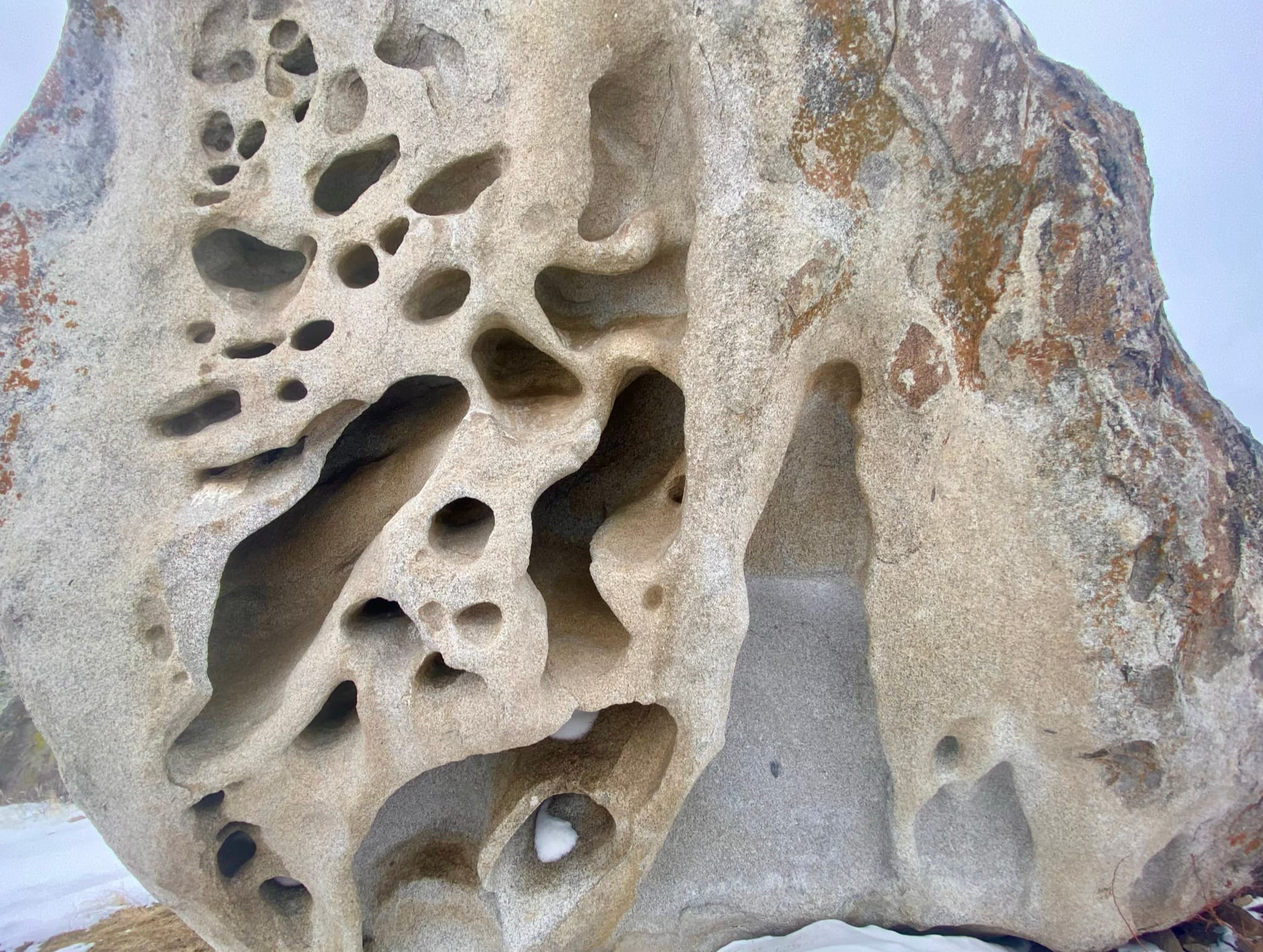
Back Yard Boulders in Castle Rocks State Park
Castle Rock is the centerpiece of this 2-mile loop trail. It features impressive rocks as well as archaeological sites such as the Shock and Awe Shelter and pictographs. In spring hikers may encounter many species of wildflowers and experience the arrival of migratory birds. In autumn, hikers are treated to the colorful foliage of aspen, chokecherry, and willow. Signs and numbered markers are strategically located to help you find the route.
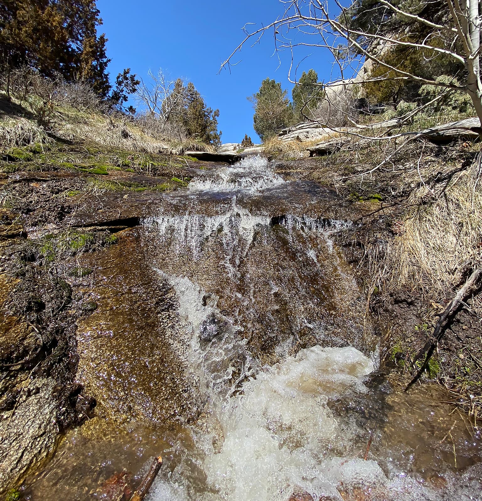
Creekside Towers Trail
Creekside Towers is an out-and-back 1.2-mile trail, nearby trails (such as Stairways and South Fork Circle Creek trails) could make for a longer and more adventurous loop. The trail’s gentle grade of 122 feet relative elevation is suitable for families with children or anyone looking for an easier hike in the Reserve. In spring and early summer enjoy the running creek and small cascading waterfall. Outstanding scenery, sculpted granite pinnacles, and a diversity of plants and animals await you.
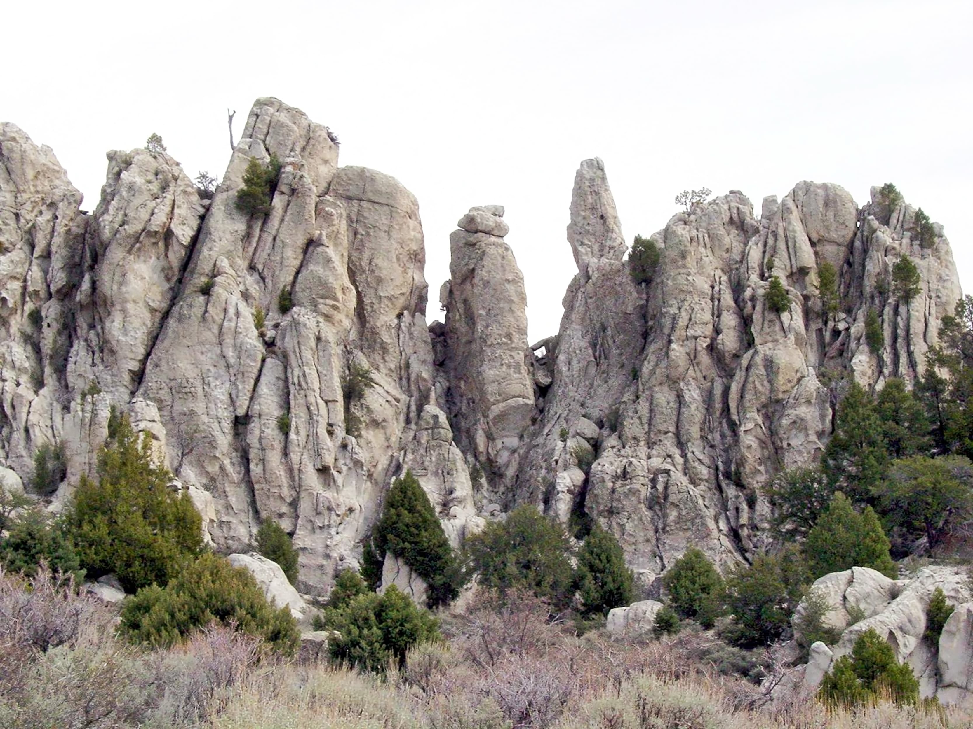
Geological Interpretive Trail
A self-guided journey to discovering the geology at City of Rocks National Reserve. The 1 mile Geological Interpretive Trail is the perfect short hike to: - see fascinating geological formations up close - examine the difference between the Green Creek Complex and Almo Pluton - learn about the geologic history of this landscape Check out Intro 1, 2, and 3 on your way to the first station.
Visitor Centers
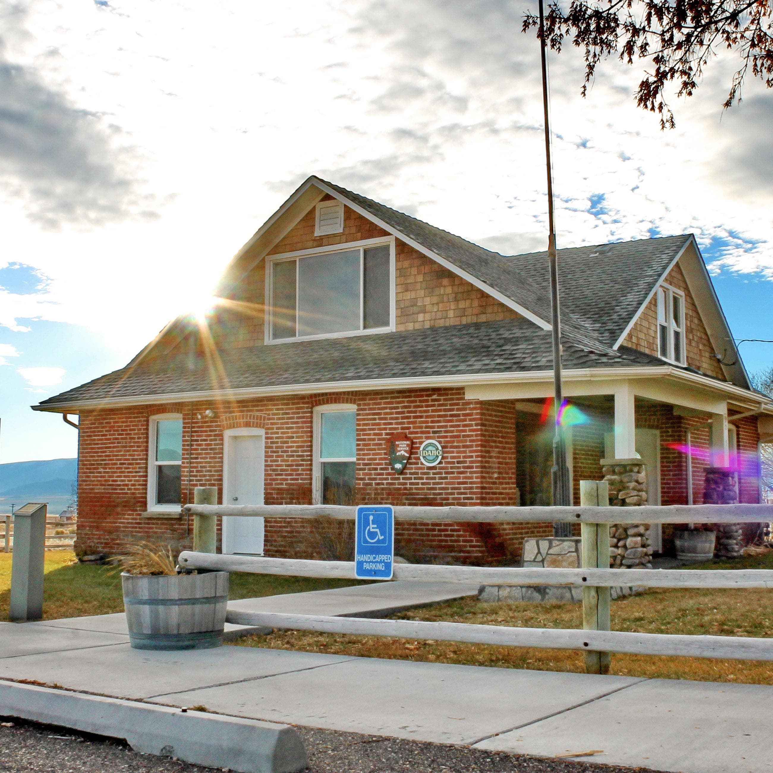
City of Rocks Visitor Center
The Visitor Center for City of Rocks National Reserve and Castle Rocks State Park is located just outside the National Reserve in the community of Almo. Stop in to chat with a Ranger or pick up maps, guide booklets, and other informative resources. We also offer souvenirs such as books, mugs, apparel, postcards, and stickers.
Where to Stay
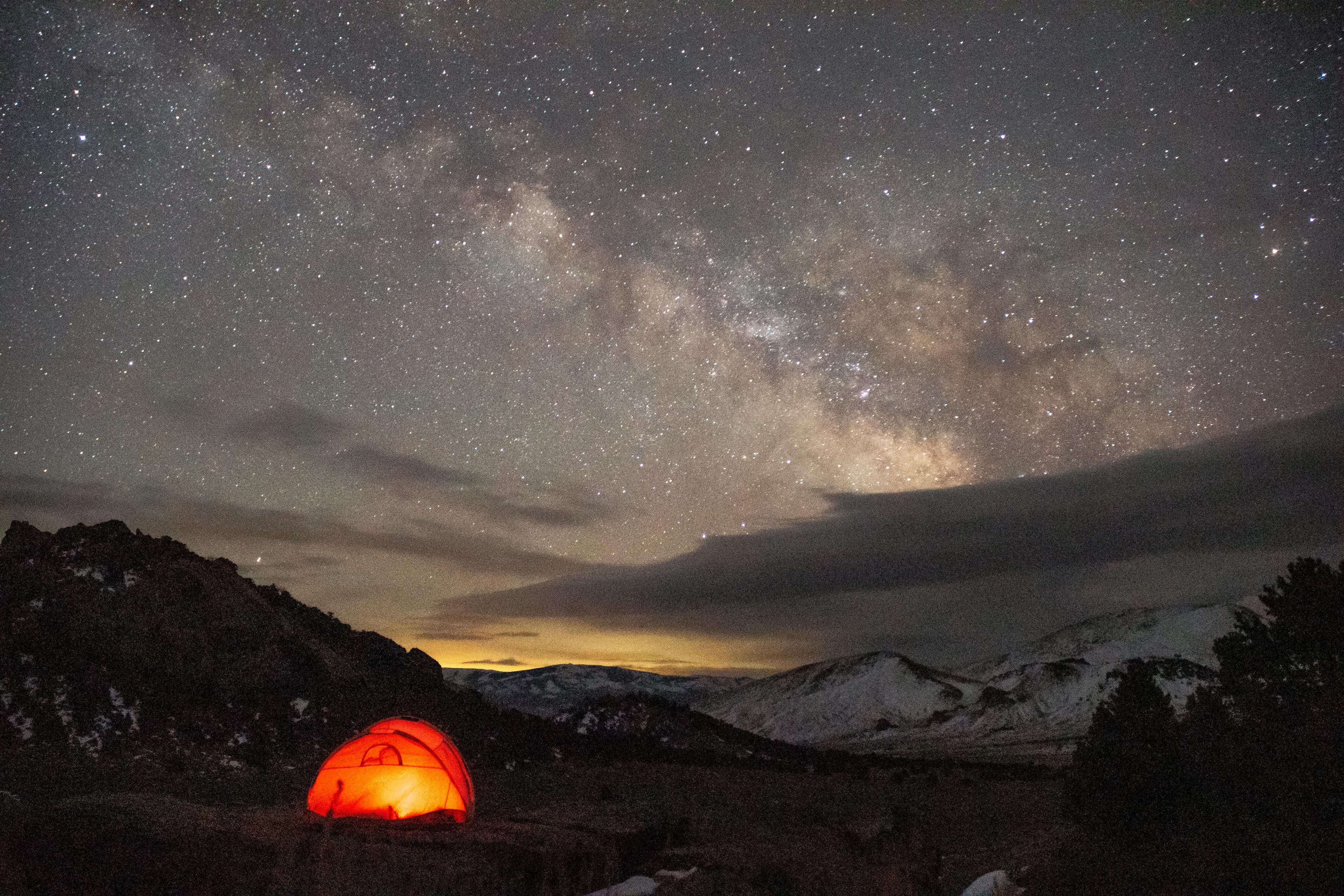
City of Rocks Campground
Camping in City of Rocks is a great way to enjoy being out in nature. Relax beneath the cool shade of aspen, juniper, mountain mahogany, or pine. Spend the night surrounded by impressive granite formations and starry skies. There are 64 standard campsites and 3 group sites to choose from with easy access to climbing, hiking trails, and vistas.
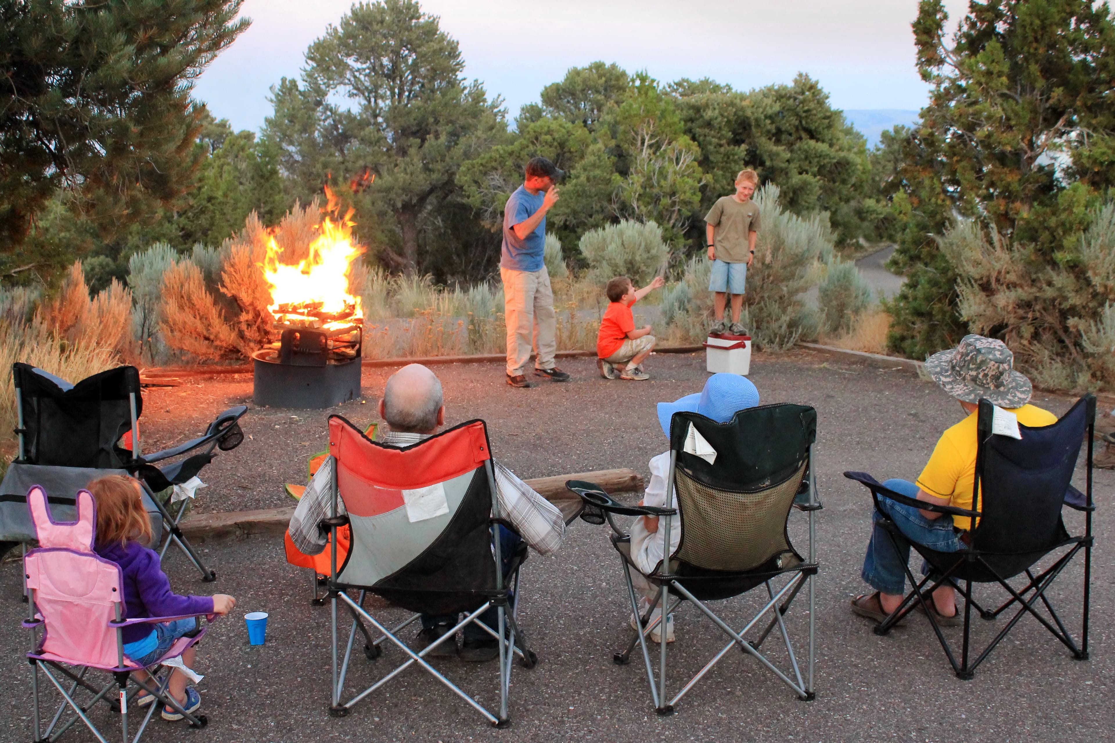
Smoky Mountain Campground
There are 38 campsites available, 9 of which are pull-through. Sites 11 and 24 are designated ADA accessible. A separate loop with 6 sites accommodates equestrian campers. - water service May-September - 30 amp electrical hook-ups - fire-ring/ground grill - picnic table - partial shade There are flush toilets and showers open May-September and a vault toilet open year-round at the equestrian trail head. An RV dump station is provided near the campground entrance.
Getting Here & Transit
How to Get Here
From Boise: take I-84 East to exit 216 (Declo); go south on Highway 77 to Conner Creek Junction; turn right (west) on Highway 77 Spur to Almo. The visitor center and the park entrance are south of the post office and businesses. From Pocatello: take I-86 West to I-84 West to exit 216 and proceed as above. From Salt Lake City: take I-84 west to exit 245 (Sublette), turn left and go west to Malta. From Malta take Highway 77. Take Highway 77 Spur to Almo.
Park Amenities
Operating Hours
City of Rocks National Reserve
The National Reserve is open 365 days a year, 7 days a week, 24hrs/day. Many roads are not maintained during the winter and may become impassable from late November through May. For current conditions visitors are encouraged to check with the Visitor Center or watch for alerts on our website and social media.
- MondayAll Day
- TuesdayAll Day
- WednesdayAll Day
- ThursdayAll Day
- FridayAll Day
- SaturdayAll Day
- SundayAll Day
Photos
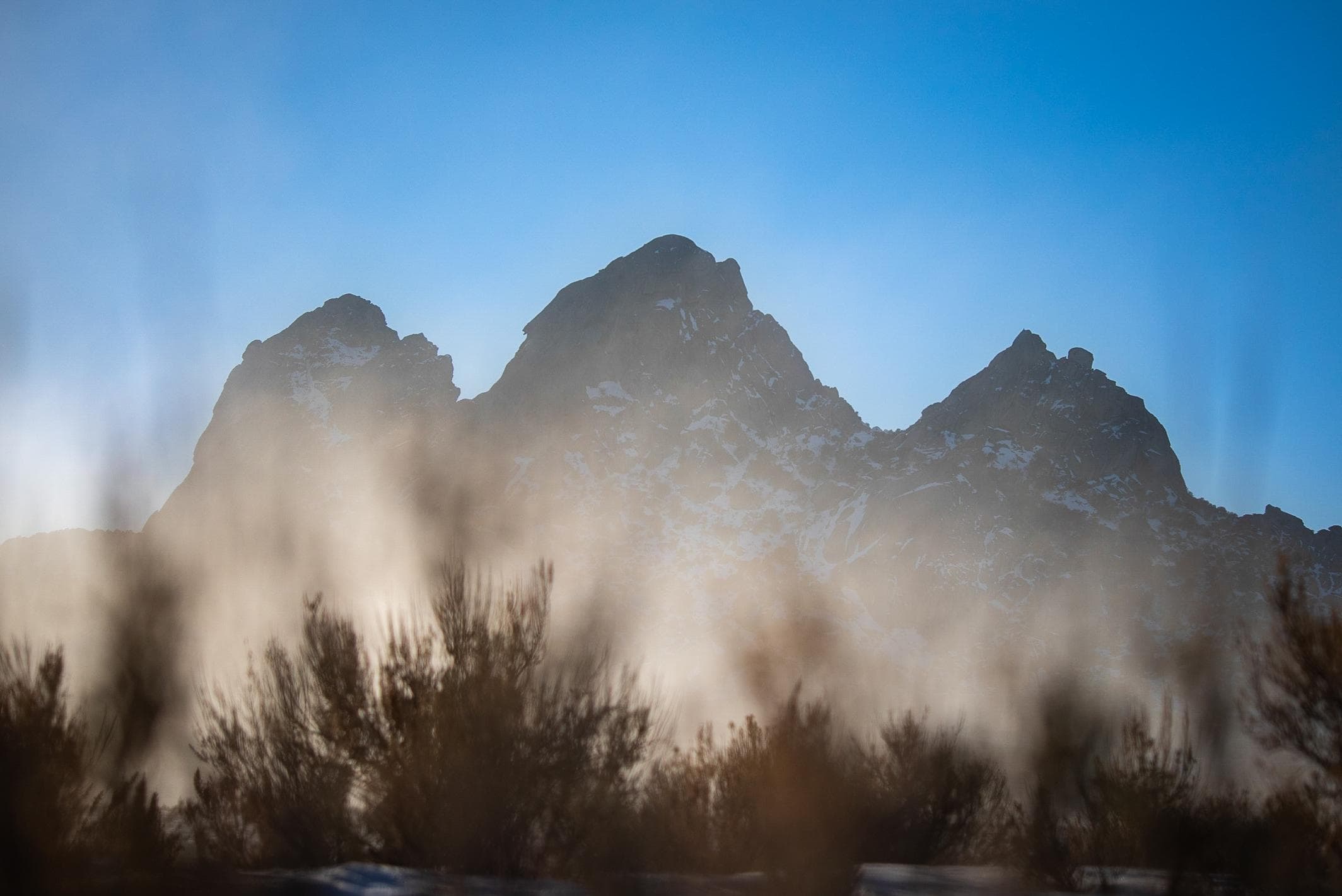
3 silhouetted foggy granite formations highlighted by golden sunlight.
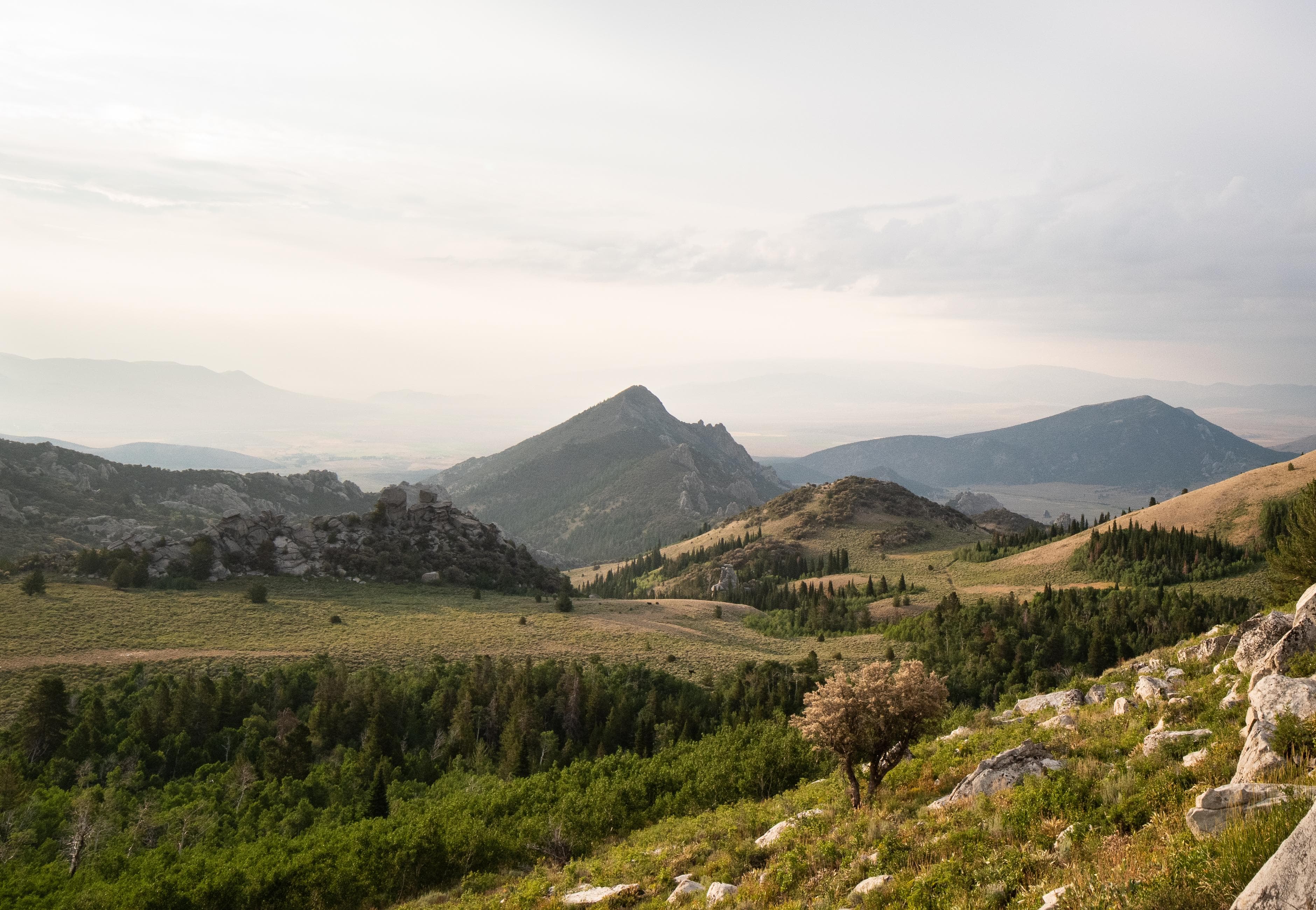
Grand scenic view looking down from a high elevation. Granite spires jut up from the landscape.
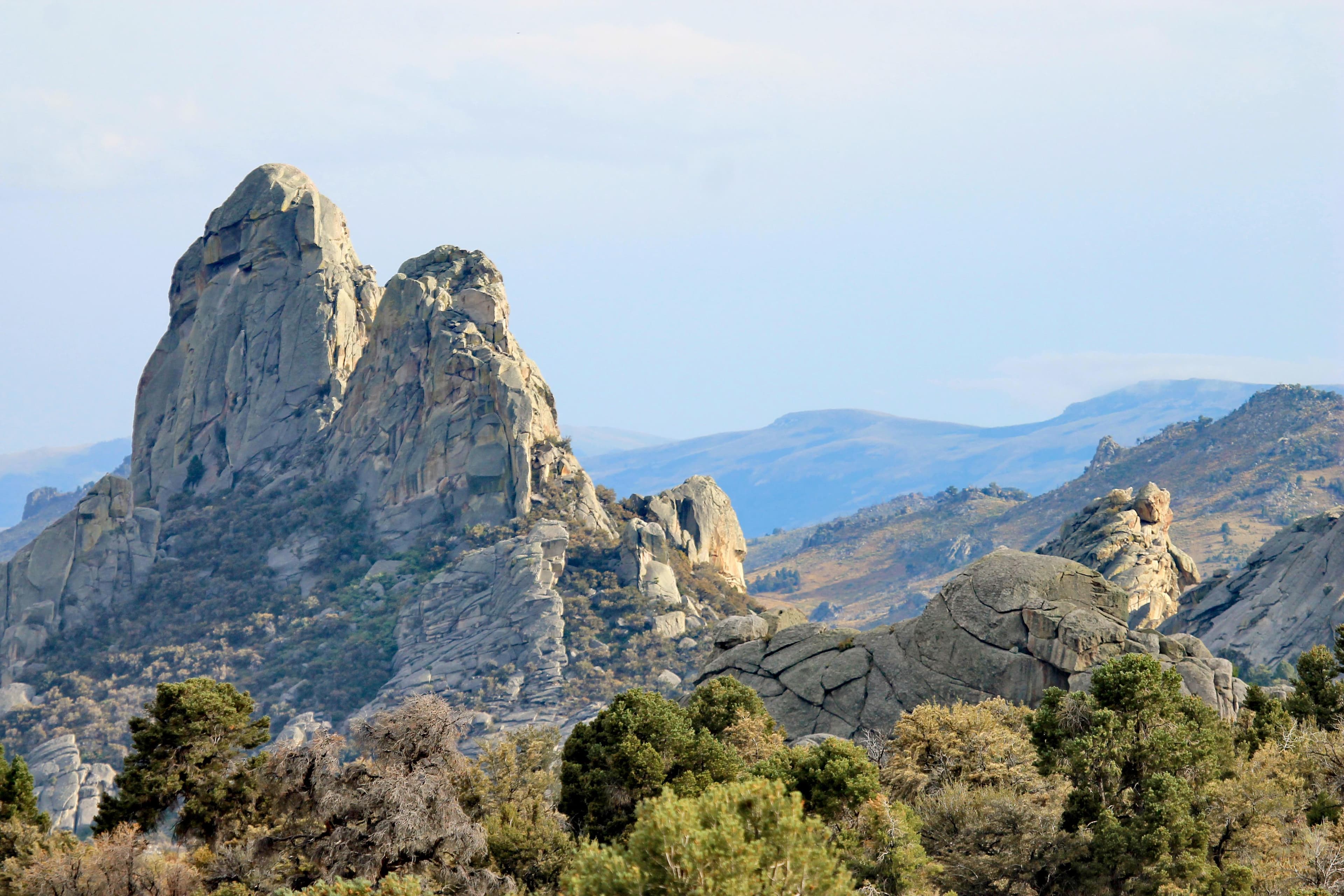
Two granite pinnacles right next to each other that are similar in size and shape.
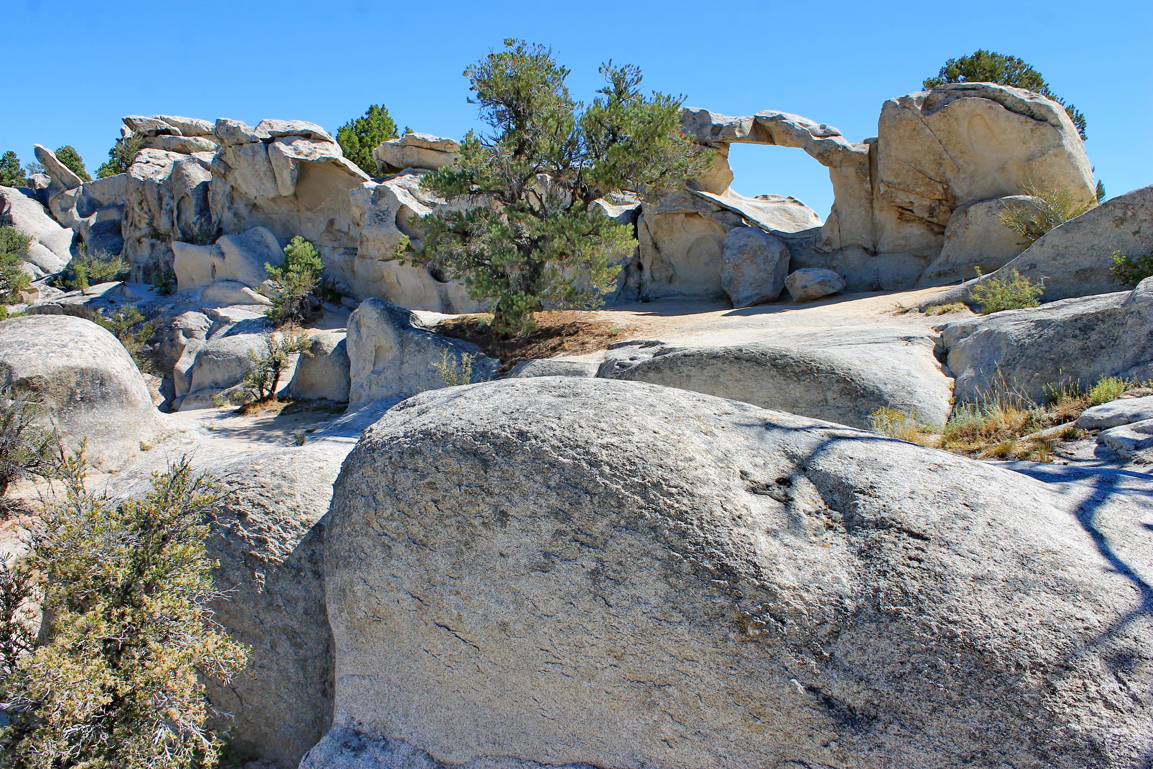
A granite arch is displayed on the horizon
When to Go
Crowd CalendarPlan your trip around peak seasons to avoid crowds or embrace the energy of the busy months. Our crowd predictions are based on historical NPS Visitor Use Statistics.
Jan
Feb
Mar
Apr
May
Jun
Jul
Aug
Sep
Oct
Nov
Dec
Build your City Of Rocks itinerary
Tell Miza your dates, pace, and interests—get a day-by-day plan with hikes, drives, and must-see stops.
Best Time
Year-round
Trip Length
1 day
Searching for the best hotel deals near City Of Rocks National Reserve...
Planning City Of Rocks National Reserve
These common questions go deeper into logistics and planning. For real-time updates on road closures and current conditions, always check the Alerts section above.