
Park Hours (Today)
All Day
Visitor Center: 8:30AM - 4:30PM
Miza AI
Plan your Chiricahua trip
About the Park
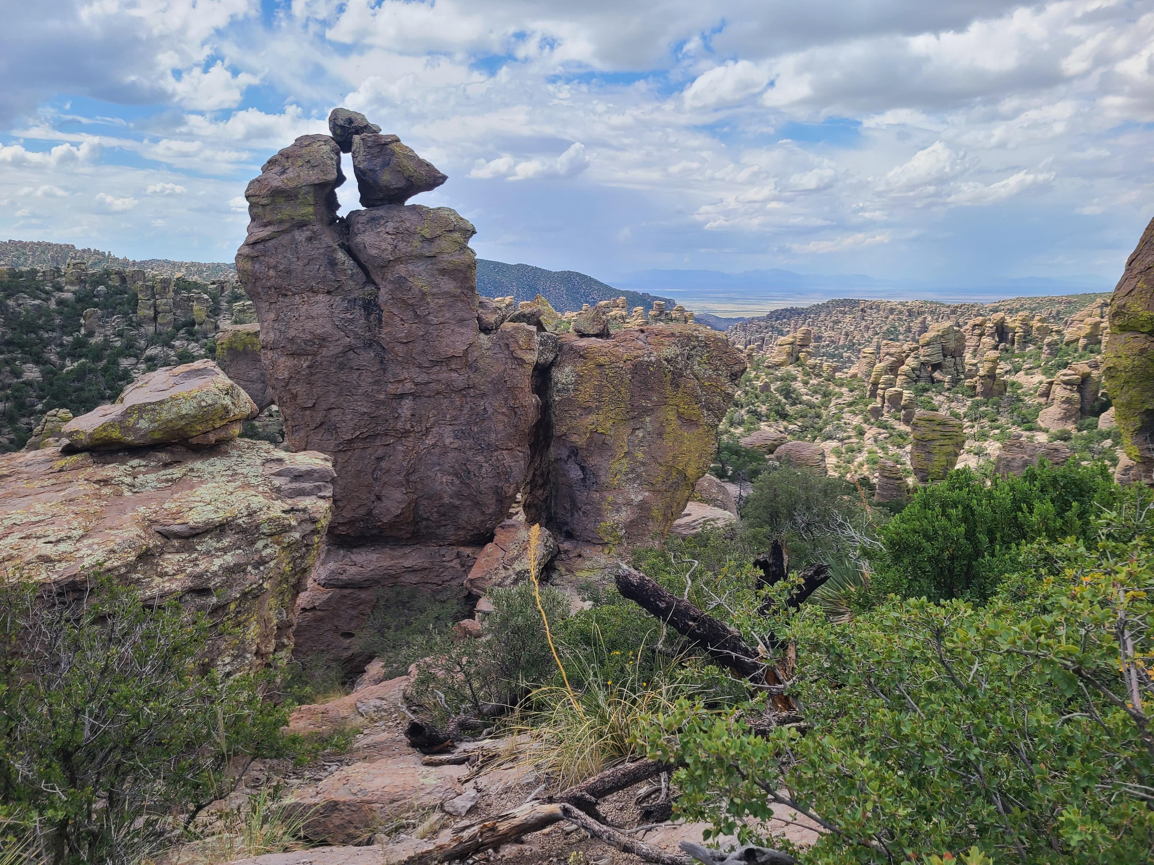
Explore rhyolite pinnacles and balanced rocks on foot or by car. Relax at the campground under star-filled, dark skies. See how a mountain range rising between two deserts creates a home for diverse wildlife. Imagine history here. Prehistoric peoples, Apaches, Buffalo Soldiers, Civilian Conservation Corps, ranchers, and homesteaders inhabited Chiricahua.

Ready to explore Chiricahua National Park?
Take the stress out of planning. Our AI will automatically sequence your stops, find the best hotels, and optimize your driving time in seconds.
What to See & Do
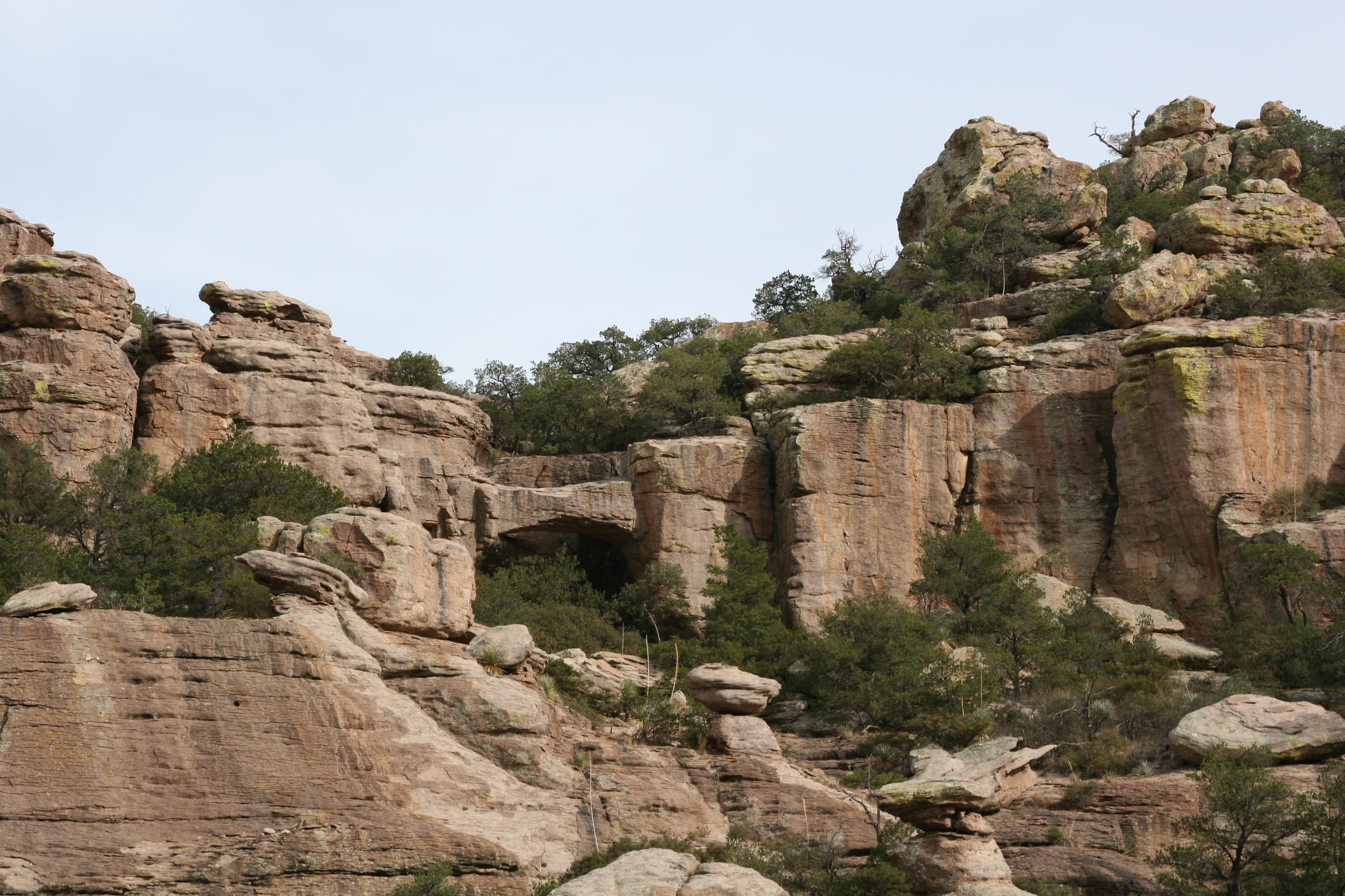
Trail to Natural Bridge
This trail is a great opportunity to avoid the crowds in March and to see wildlife. It crosses through a stunning variety of ecosystems before ending at a bridge overlook. The small water-carved bridge is located across the canyon. This hike is about the journey, not the bridge. Return the same way.
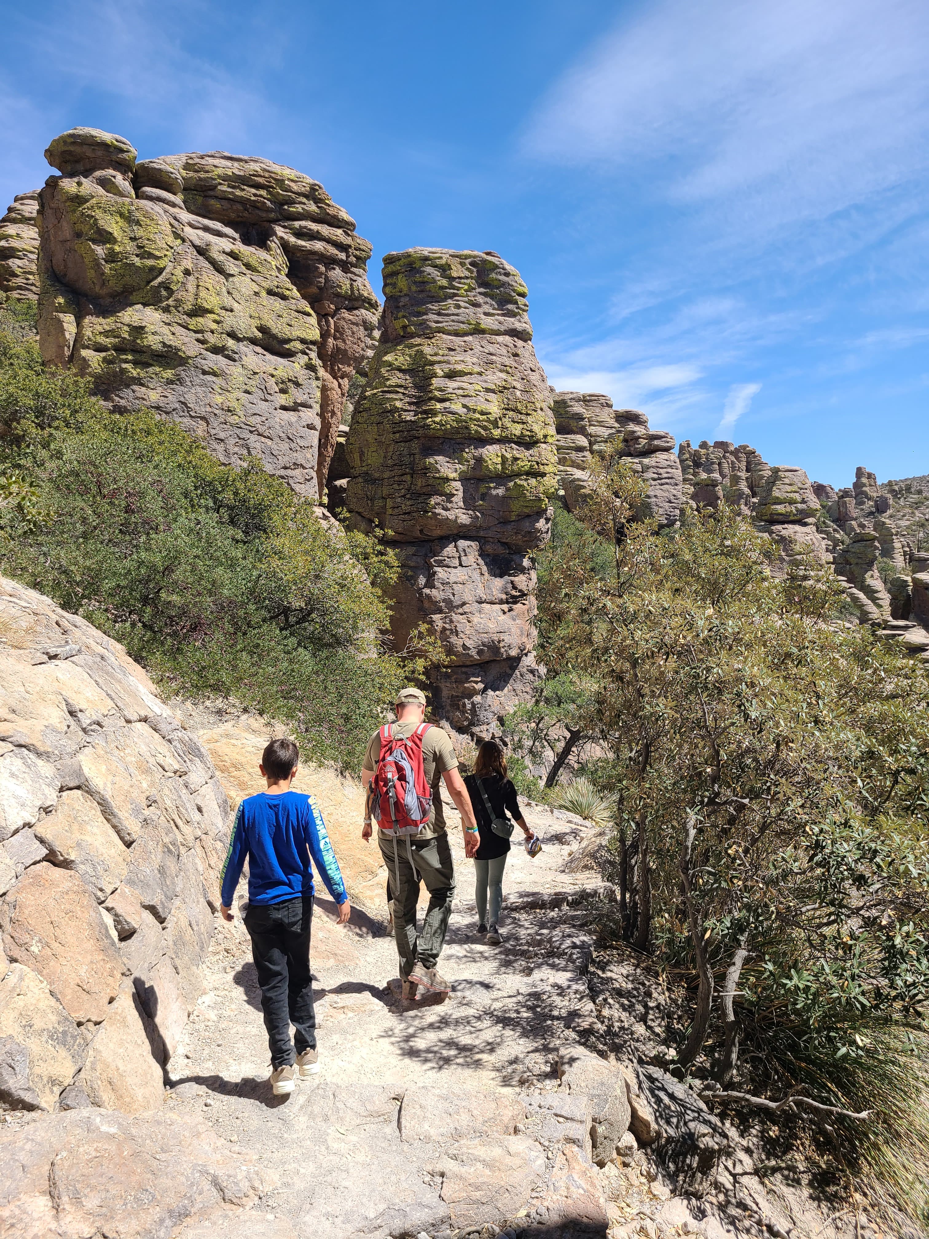
Hike the Trails at Chiricahua
17 miles of trails will take you into a wilderness of rocks. Chiricahua offers a range of day hiking options from easy to strenuous.
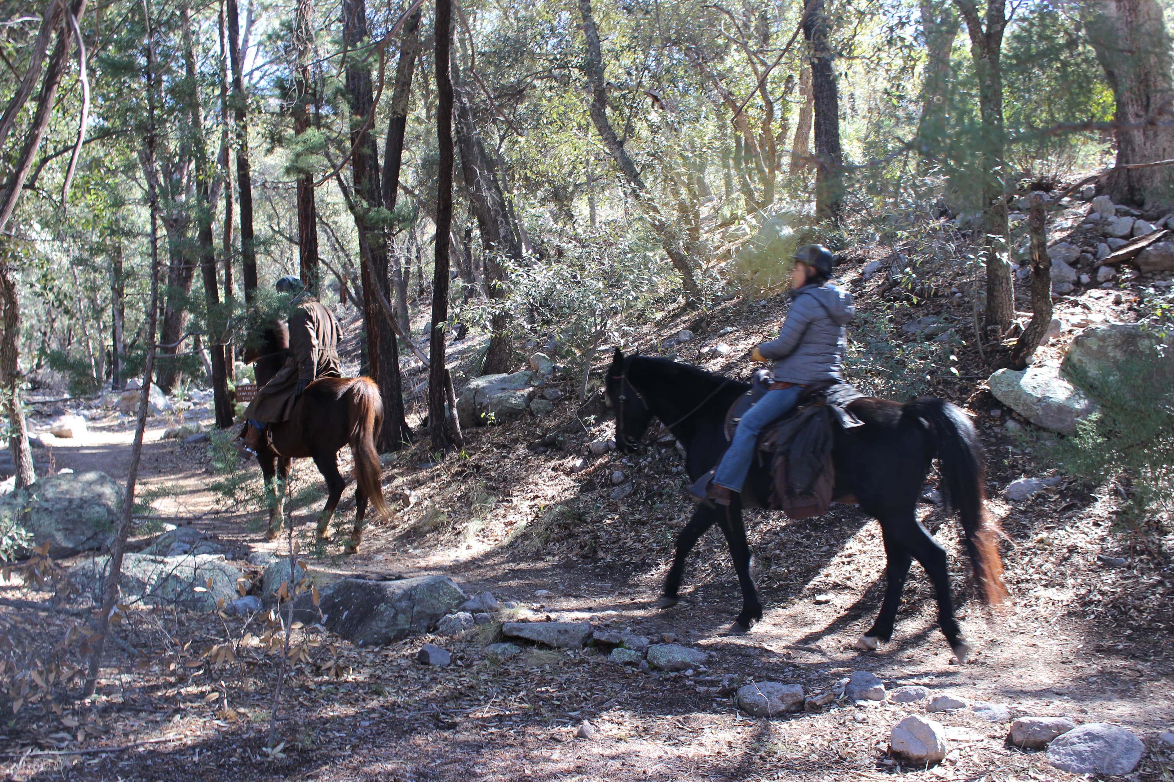
Horseback Riding at Chiricahua
Come explore the "Wonderland of Rocks" on horseback!
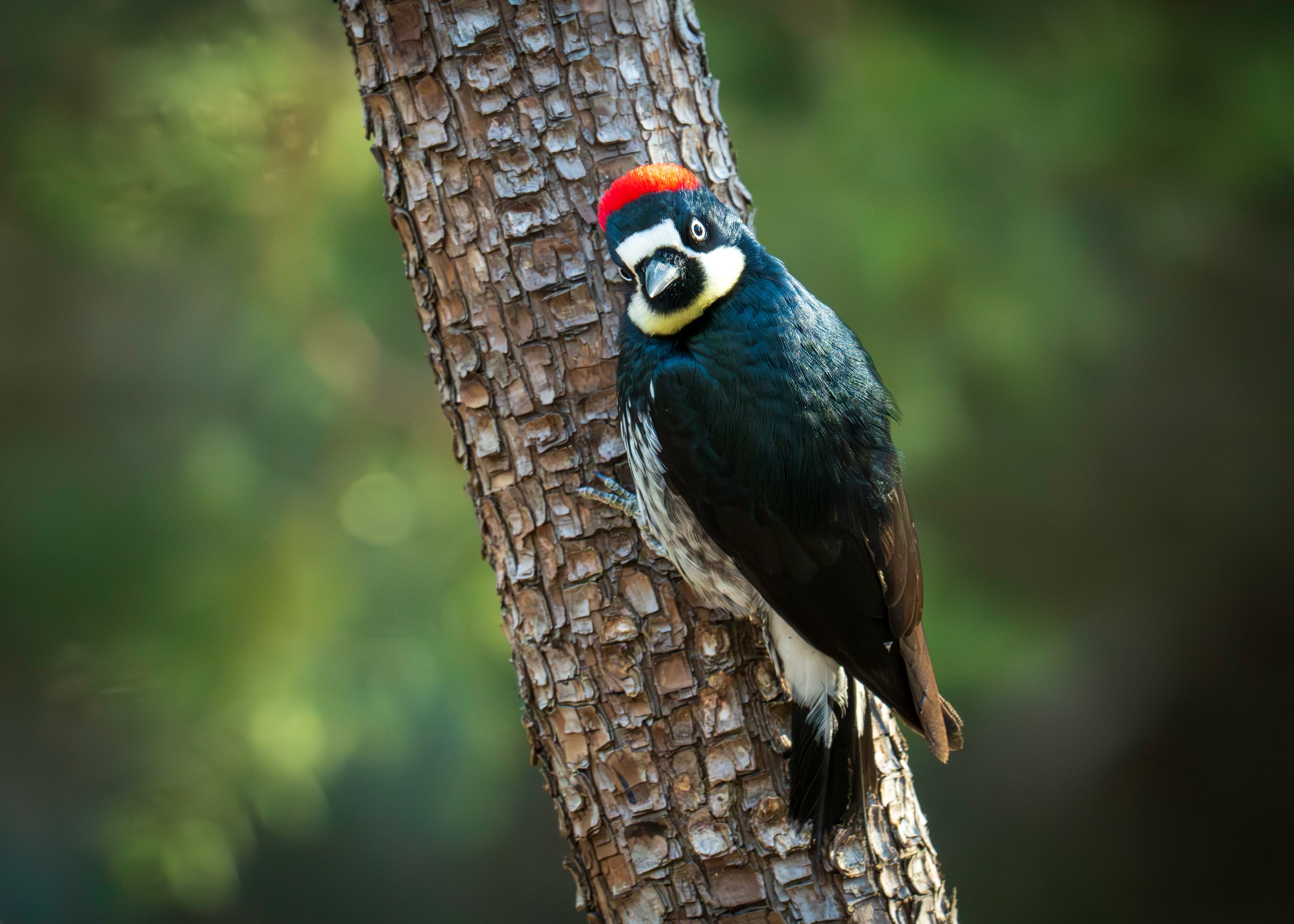
Birdwatching at Chiricahua
Chiricahua is a haven for birdwatchers, with over 200 different bird species documented in the area! The best places for birdwatching include Bonita Creek Trail, Silver Spur Meadow Trail, and Echo Park, although you can see birds anywhere in the park.
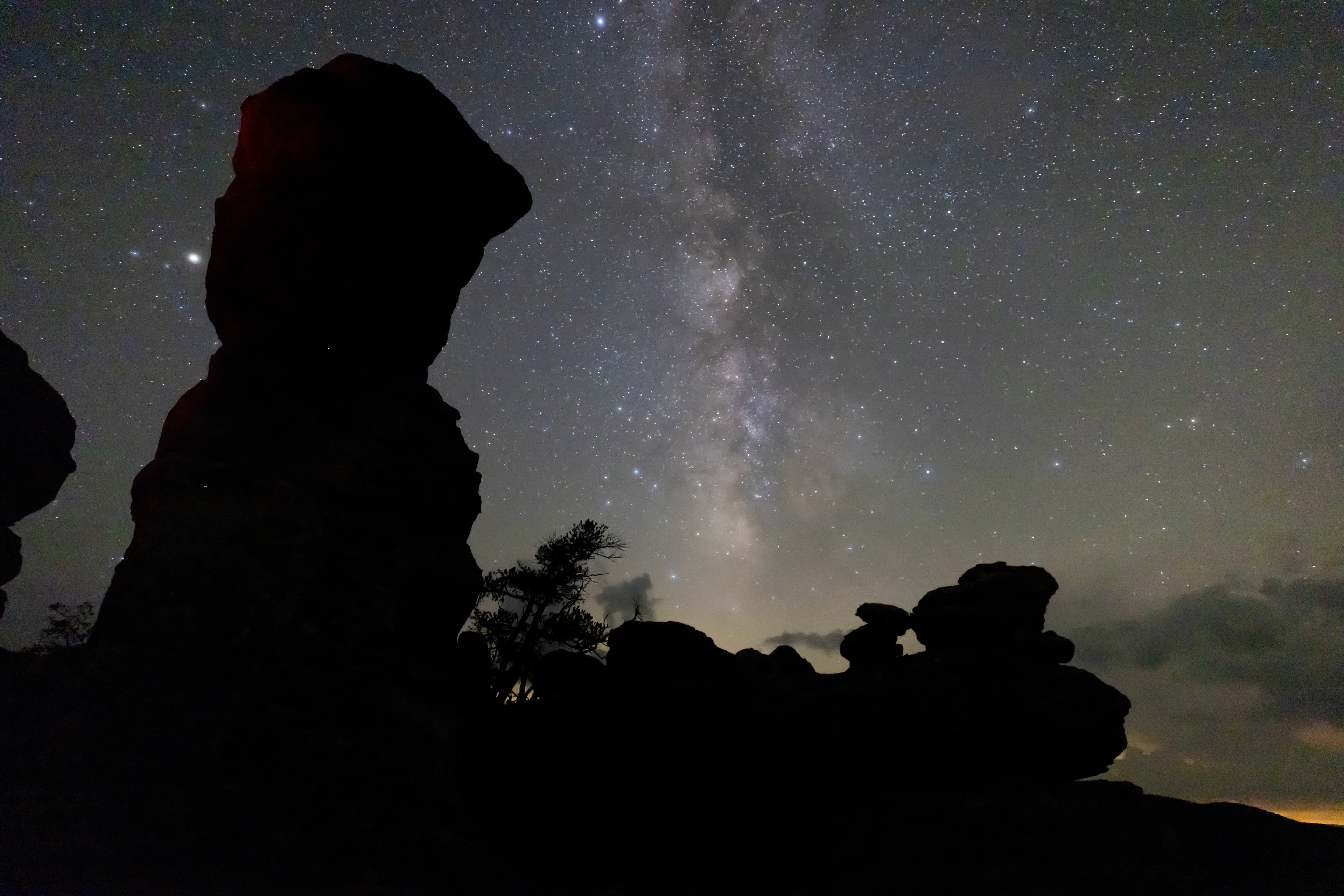
Stargazing at Chiricahua
Chiricahua is always open, so come experience our dark skies! The best places to view the night sky at Chiricahua are the Faraway Ranch and Echo Canyon parking lots, both offering wide, unobstructed views of the sky.
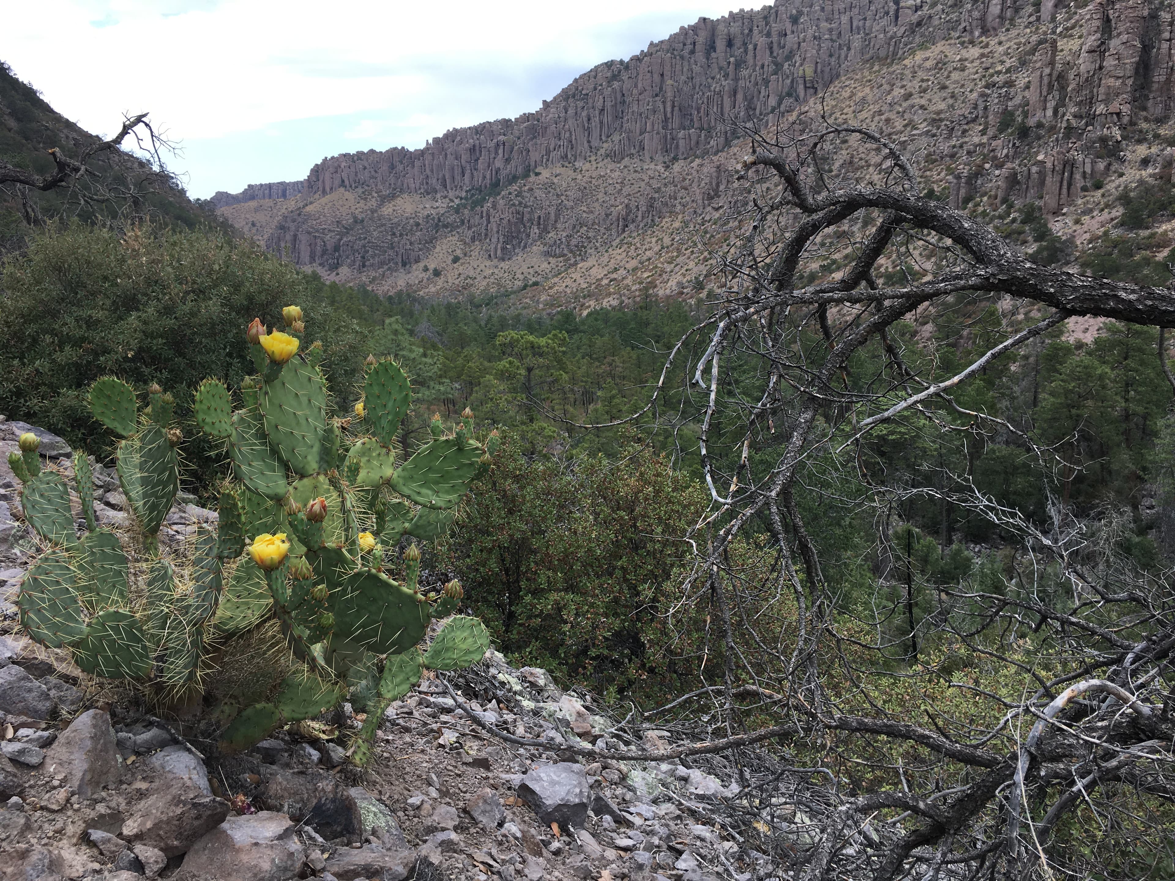
Lower Rhyolite Canyon Trail
A good way to view the rocks without driving up the road, this mostly-level trail takes you to Rhyolite Canyon, a canyon lined with rock pinnacles. Walk 1.5 miles / 2.4 km until you reach the junction between Upper Rhyolite Canyon and Sarah Deming trails. Return the same way.
Visitor Centers
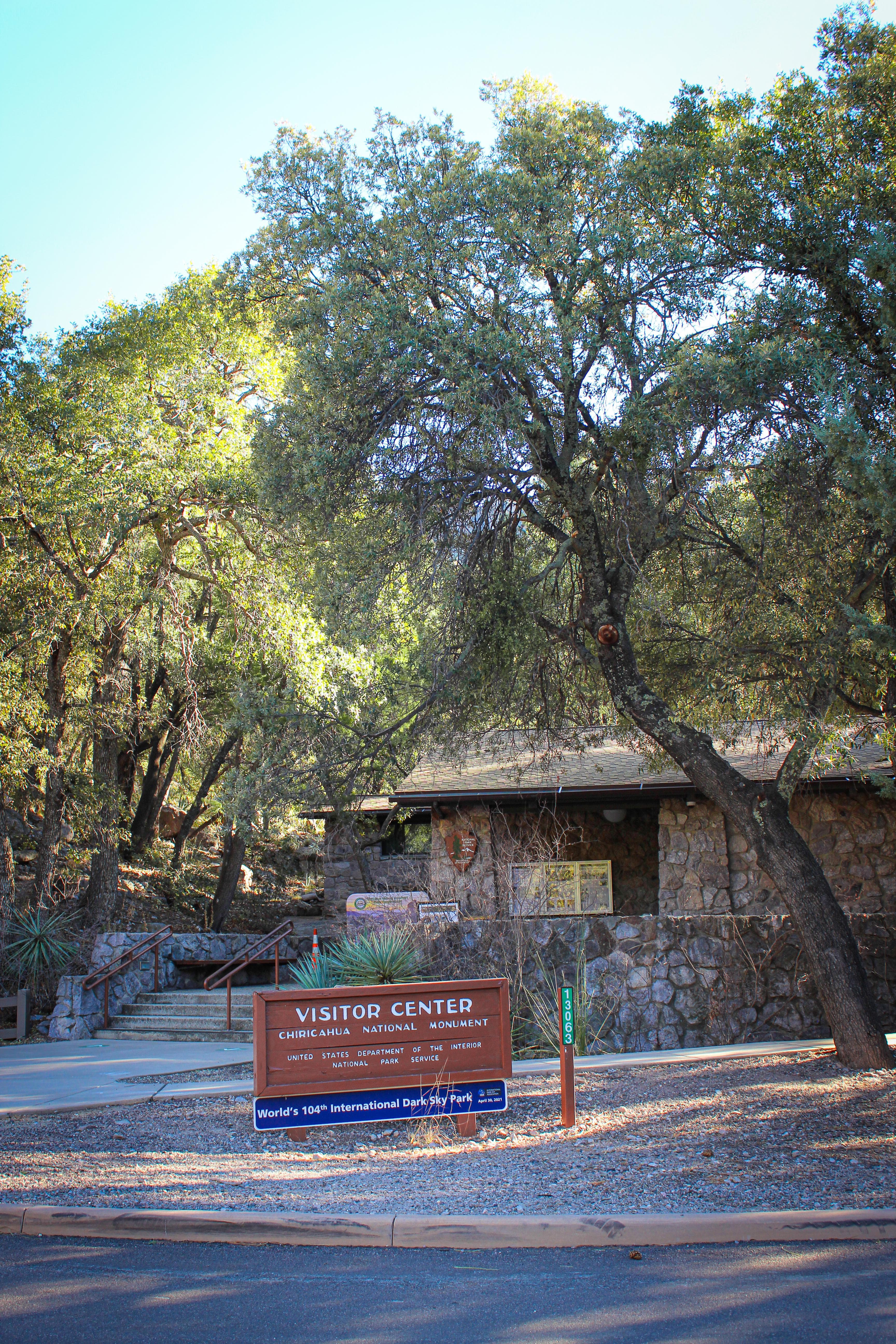
Visitor Center
The visitor center is on the right 2 miles after the entrance. Open from 8:30 am to 4:30 pm, it has an information desk, museum, park film, and gift shop. It provides free maps, junior ranger booklets, and information. The museum includes geology, biodiversity, and human history exhibits. Its architecture showcases Civilian Conservation Corps rock work and Mission 66 architecture. The park store has shirts, books, stickers, and other collectibles. It is cashless! So, bring your card or mobile pay!
Where to Stay
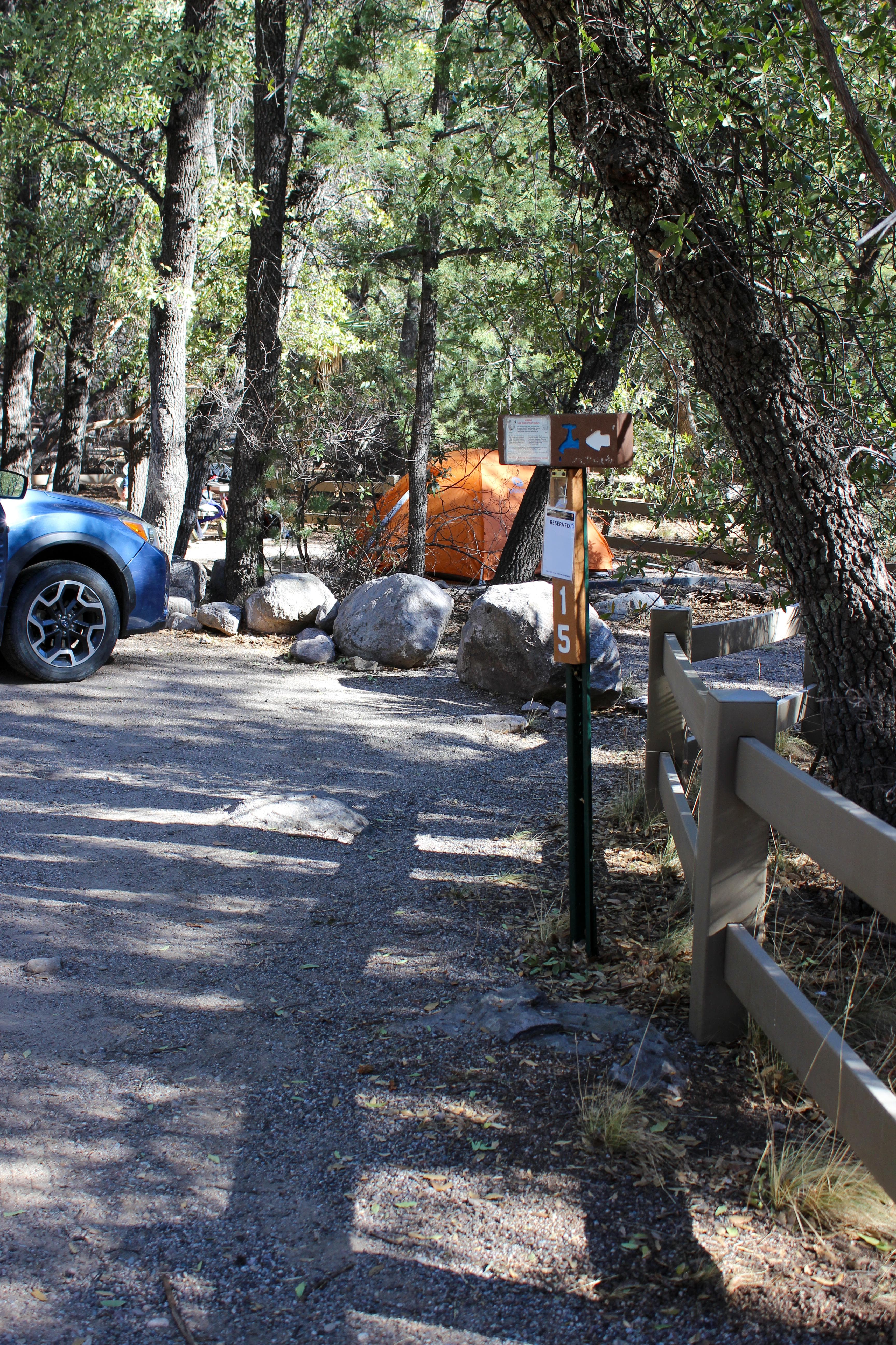
Bonita Canyon Campground
Bonita Canyon Campground is a small, historic campground with many trees. It has 23 sites ALL by reservation only. The campground has flush toilets, running water, and picnic tables. No ground fires, hook ups, showers, or dump station. Vehicle length limit is 29 feet (dip in road damages longer vehicle). Read all info and regulations before booking on Recreation.gov Bring everything you need! Food, beverages, ice, charcoal, wood, fuel, and many camping supplies are not available at the park store.
Parking & Access
Getting Here
Chiricahua National Park is in the southeast corner of Arizona. Interstate I10 from LA or Tucson to El Paso or Lordsburg runs about 40 miles north of the park. Exits in Willcox to Hwy 186 are the most direct paved access to the park from the north. (Exits 336, 340, and 344). Note: Exit 366 to Bowie will require driving 10 miles of dirt road. This route is recommended only if stopping at Fort Bowie National Historic Site.
Official NPS directionsParking Lots
Bonita Creek Parking Lot - 29 ft Limit
Bonita Creek Parking lot provides access to the paved Bonita Creek Loop, a large picnic area, and a vault toilet. No overnight parking.
Open in MapsEcho Canyon Parking - 24 ft Length Limit
This small parking lot is the primary access point for hikes into the Echo Canyon. No oversized parking - 24 foot limit. Echo Canyon Parking can fill up quickly during February, March, April, and on holiday weekends. When full, visitors should consider starting their hike from Massai Point Parking or Sugarloaf Parking. No overnight parking. No camping, trailers, or oversized vehicles.
Open in MapsFaraway Ranch, Trailer, and Oversized Vehicle Parking
Faraway Ranch Parking is the ONLY lot in the park that can accommodate larger vehicles. Vehicles over 29 feet must stop here. Visitors with a trailer not proceeding to the campground must disconnect the trailer here. No overnight parking. No camping.
Open in MapsMassai Point Parking - 24 ft Length Limit
Massai Point Parking provides access to amazing views of the rocks, picnic tables, the short nature trail, an exhibit building, and connects to the full trail network. No overnight parking. No camping, trailers, or oversized parking.
Open in MapsNatural Bridge Parking Area - 24 ft Limit
This small pullout provides parking for 3 vehicles to access the Natural Bridge Trail. Cars should angle into the parking area to leave space for other vehicles. No overnight parking. No camping, trailers, or oversized vehicles.
Open in MapsSugarloaf Parking - 24 ft Limit
Sugarloaf Parking provides access to the Sugarloaf Mountain Trail. It has a picnic table and vault toilet. No overnight parking. No camping, trailers, or oversized vehicles.
Open in MapsVisitor Center Overflow Parking
When the Visitor Center Parking is full, visitors may need to park along the Rhyolite Creek Rd. Visitors are asked to pull off to the right side of the gravel to allow others to pass. Drivers will find a few areas where normal vehicles may turn around. This road may not be suitable for oversized vehicles or trailers due to a significant dip and lack of turn around.
Open in MapsVisitor Center Parking - 29 ft Length Limit
Lot is directly in front of visitor center. Spaces accommodate standard size vehicles without trailers. No overnight parking. No camping.
Open in MapsGetting Here & Transit
How to Get Here
Chiricahua National Park is in the southeast corner of Arizona. Interstate I10 from LA or Tucson to El Paso or Lordsburg runs about 40 miles north of the park. Exits in Willcox to Hwy 186 are the most direct paved access to the park from the north. (Exits 336, 340, and 344). Note: Exit 366 to Bowie will require driving 10 miles of dirt road. This route is recommended only if stopping at Fort Bowie National Historic Site.
Park Amenities
Permits & Reservations
Permits may be required
Some activities in Chiricahua National Park — including backcountry camping, certain trails, and climbing routes — require advance permits. Check the official NPS website for current requirements before your visit.
Operating Hours
Chiricahua National Park Facilities and Scenic Drive
The road, campground, and facilities in the park are open overnight. Gates on the road will not be closed during overnight hours unless an emergency occurs. The park prohibits overnight parking, sleeping in vehicles, and camping outside the campground. The trails stay open for sunrise, sunset, and night sky viewing. Be aware of wildlife and use extreme caution.
- MondayAll Day
- TuesdayAll Day
- WednesdayAll Day
- ThursdayAll Day
- FridayAll Day
- SaturdayAll Day
- SundayAll Day
Photos
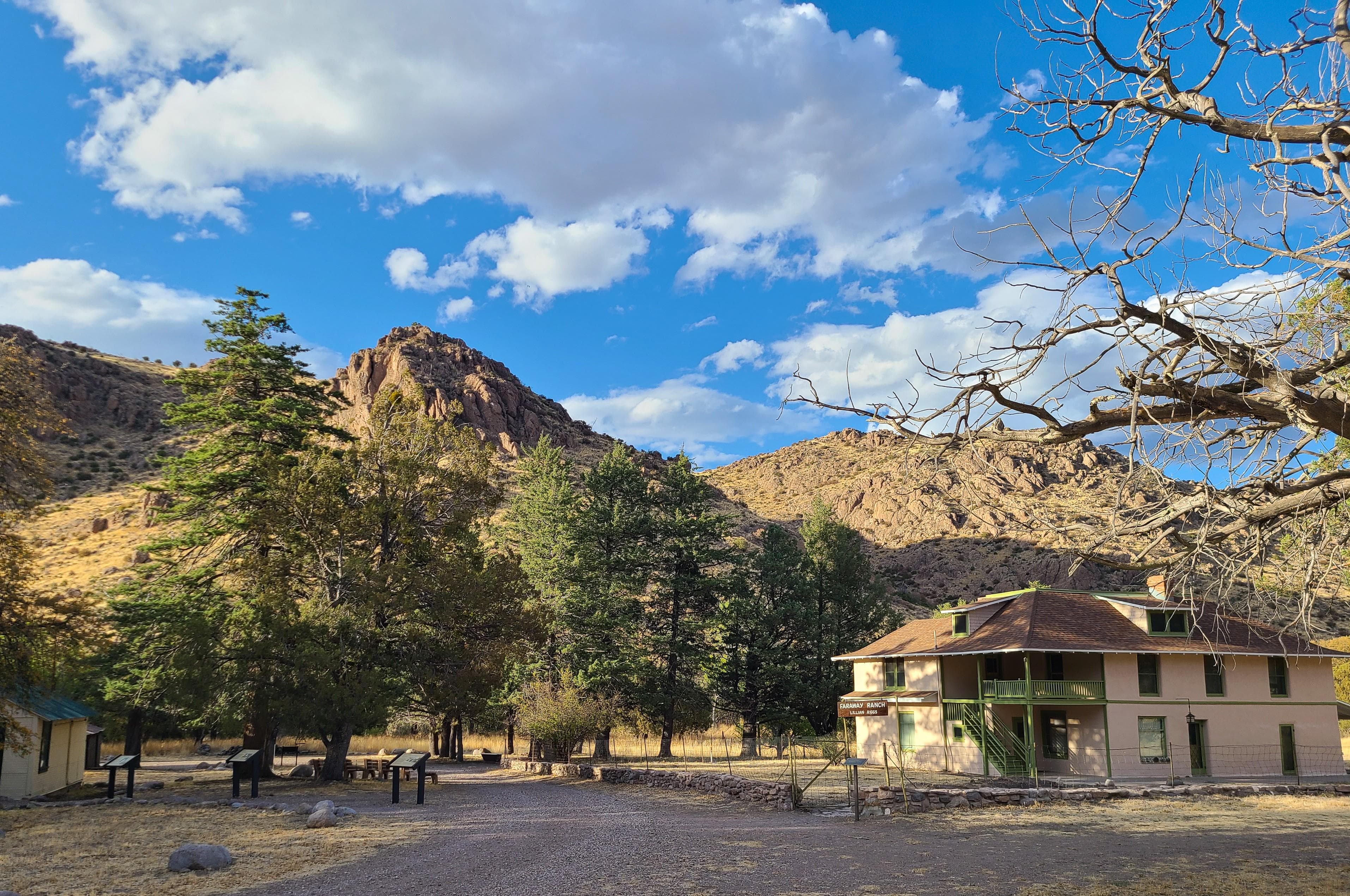
A ranch house in a green field surrounds by low mountains
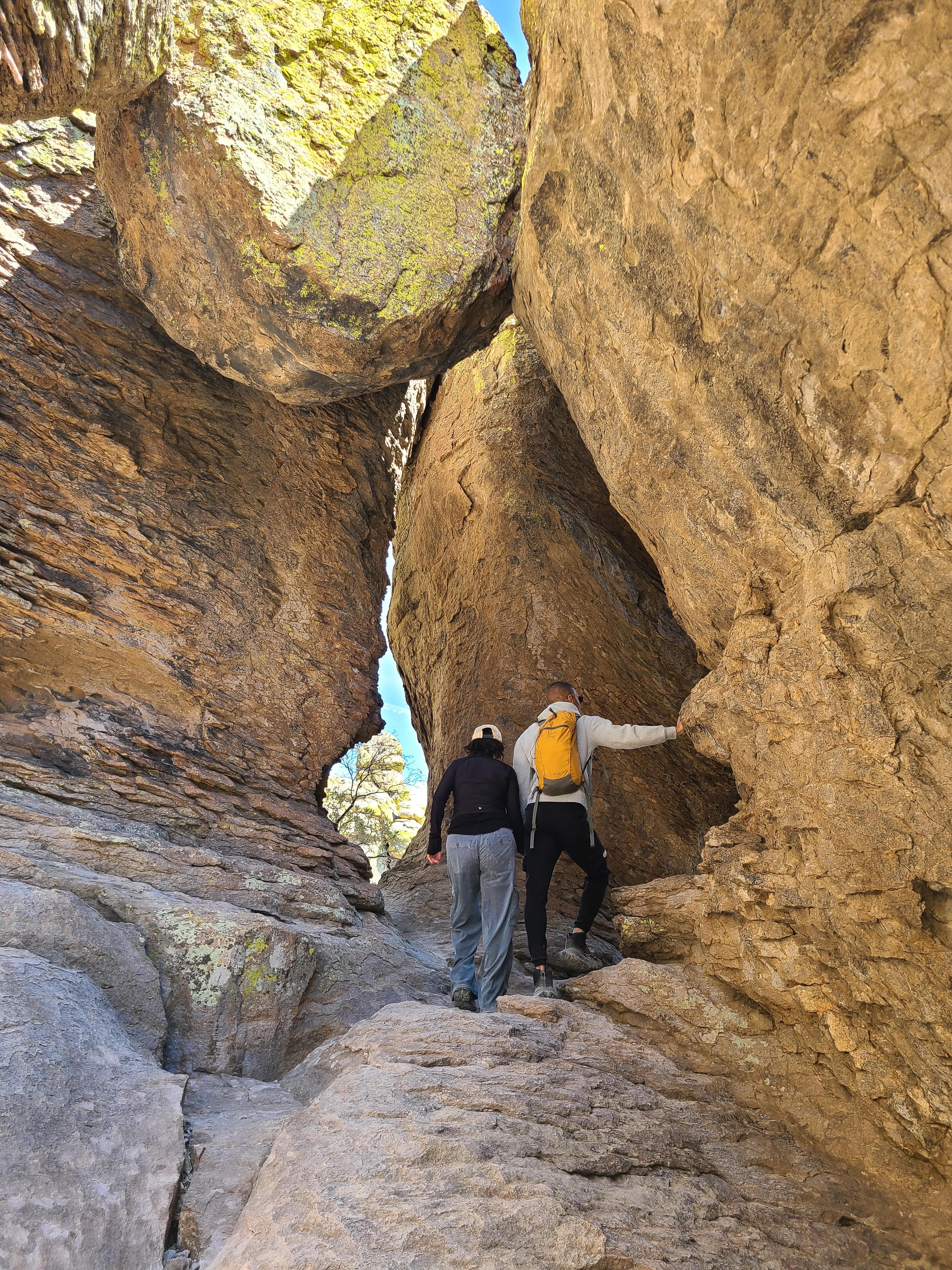
People climb through rock archways
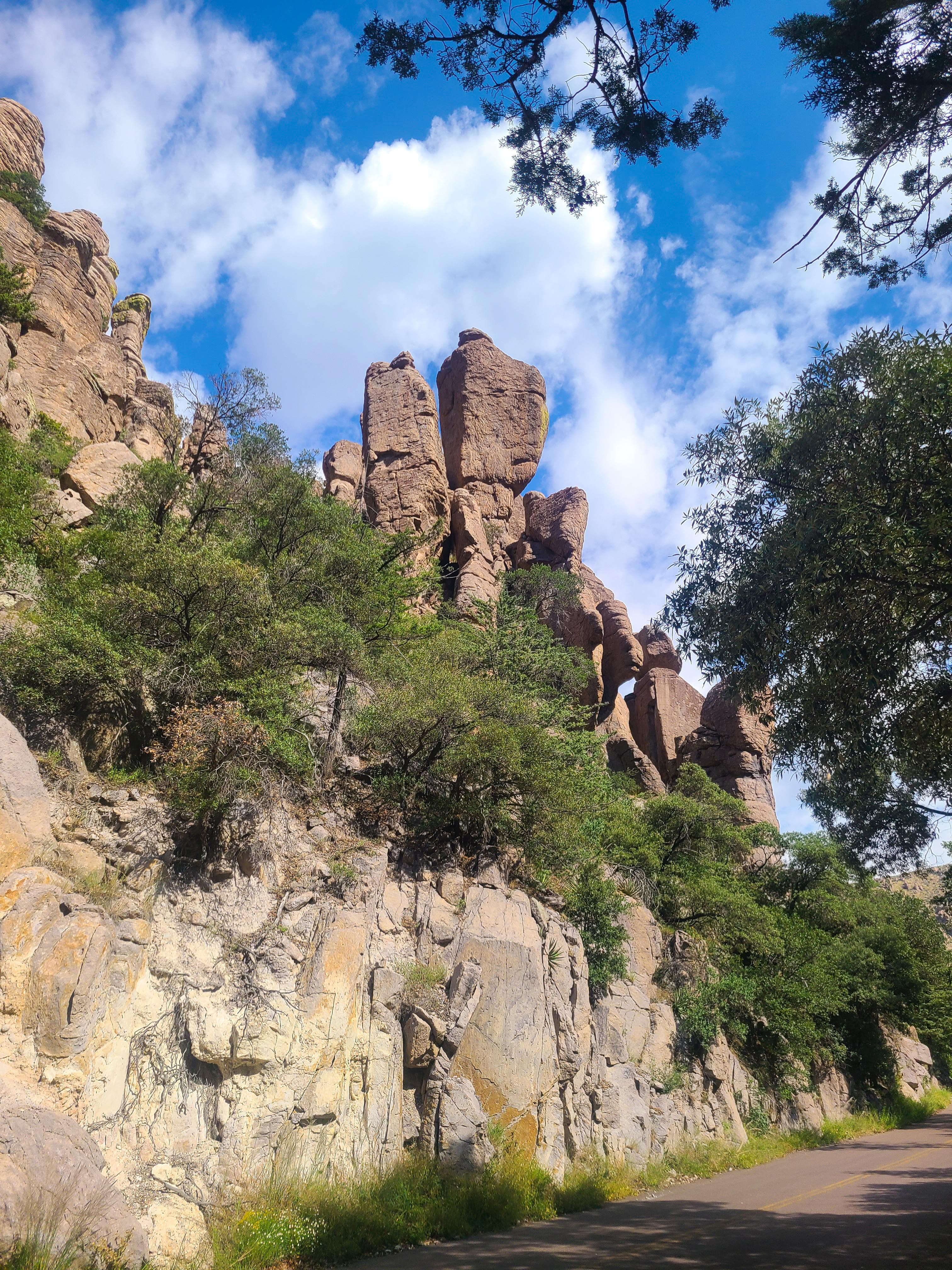
A narrow road winds between tall oaks and rock cliffs
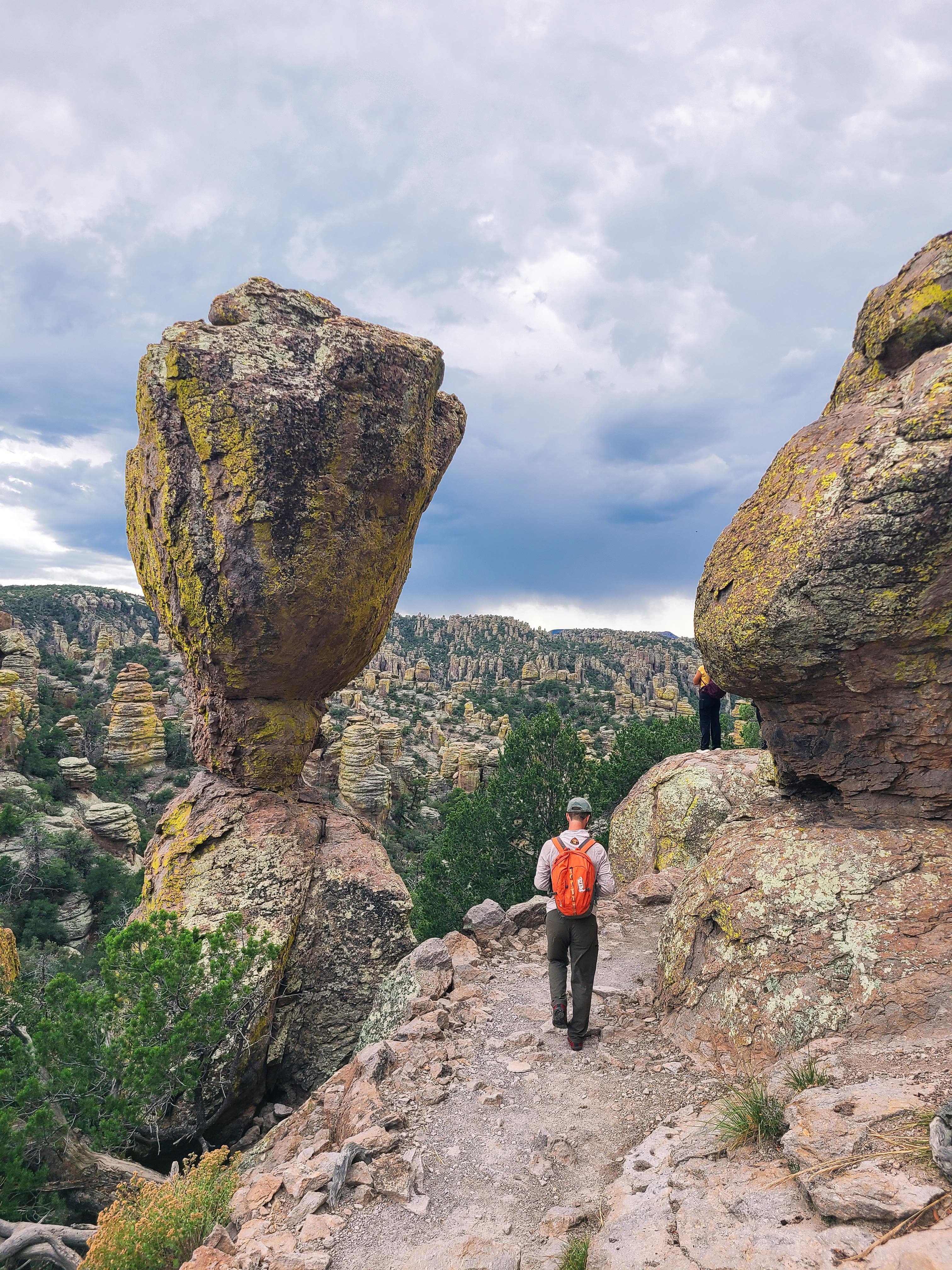
Large rock balanced on a small point with a hiker to the right
When to Go
Crowd CalendarPlan your trip around peak seasons to avoid crowds or embrace the energy of the busy months. Our crowd predictions are based on historical NPS Visitor Use Statistics.
Jan
Feb
Mar
Apr
May
Jun
Jul
Aug
Sep
Oct
Nov
Dec
Build your Chiricahua itinerary
Tell Miza your dates, pace, and interests—get a day-by-day plan with hikes, drives, and must-see stops.
Best Time
Year-round
Trip Length
2-4 days
Searching for the best hotel deals near Chiricahua National Park...
Planning Chiricahua
These common questions go deeper into logistics and planning. For real-time updates on road closures and current conditions, always check the Alerts section above.