
Park Hours (Today)
All Day
Tyler Bend Visitor Center: 8:30AM - 4:00PM
Miza AI
Plan your Buffalo trip
About the Park
Established in 1972, Buffalo National River flows freely for 135 miles and is one of the few remaining undammed rivers in the lower 48 states. Once you arrive, prepare to journey from running rapids to quiet pools while surrounded by massive bluffs as you cruise through the Ozark Mountains down to the White River.

Ready to explore Buffalo National River?
Take the stress out of planning. Our AI will automatically sequence your stops, find the best hotels, and optimize your driving time in seconds.
What to See & Do
Hike to Hemmed-in Hollow
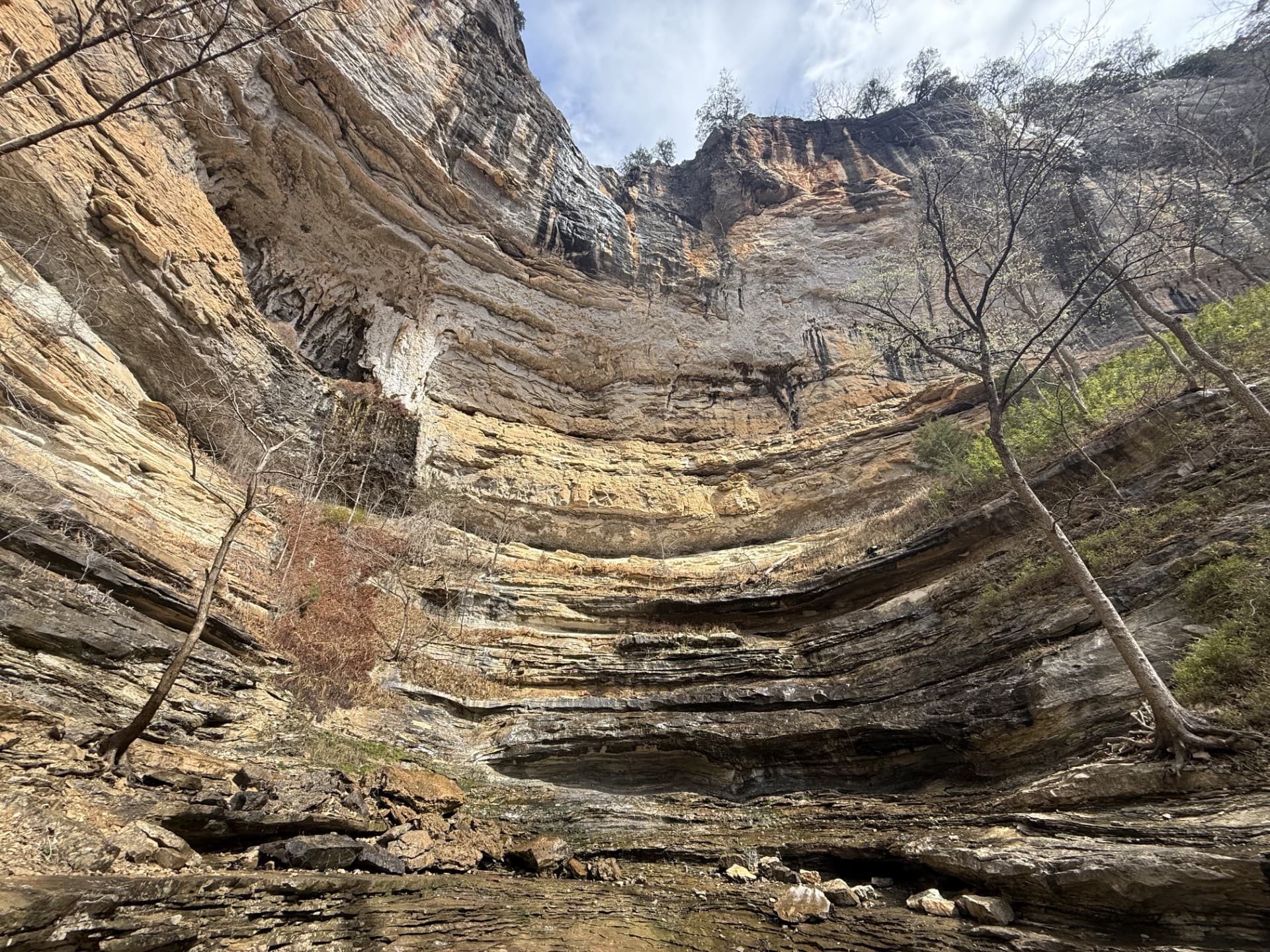
The picturesque Hemmed-in Hollow Falls cascades nearly 210 feet over rugged Ozark bluffs, making it the highest waterfall between the Rockies and the Appalachians. This waterfall only flows after a considerable amount of rain, so please be mindful of recent precipitation before you attempt this difficult hike. The Hemmed-in Hollow Trail is an extremely steep and strenuous trail that will humble even the most experienced hiker.
Paddling Gilbert to South Maumee
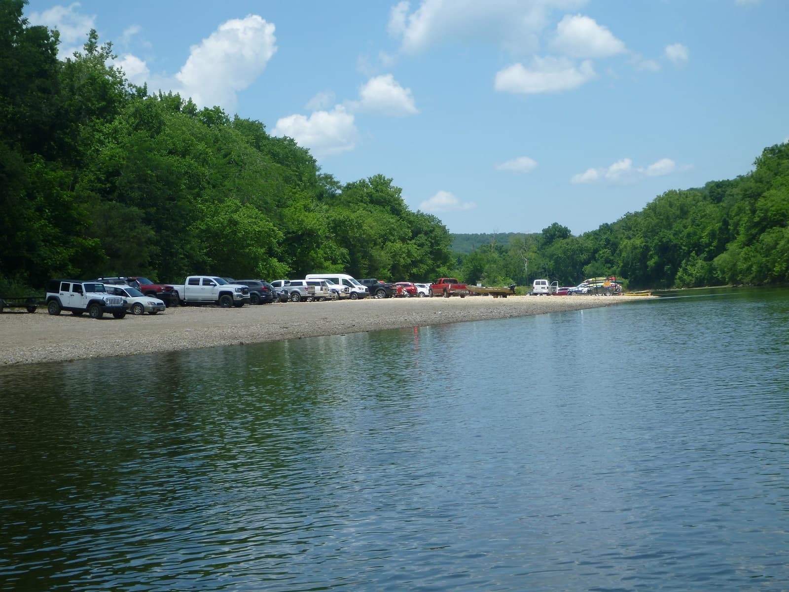
This reach is about 12 miles which makes it one of the less crowded sections of the river.
Hike the Lost Valley Trail
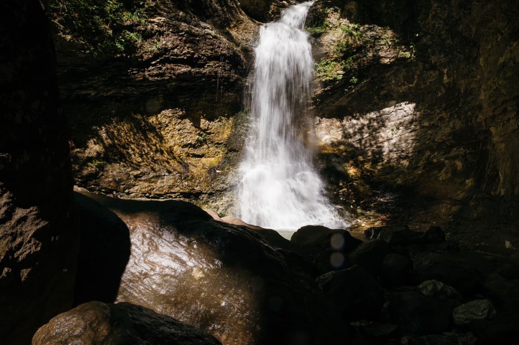
The Lost Valley Trail is an easy to moderate hike through a box canyon sculpted by Clark Creek. At 2.4 miles round-trip, this trail features caves, waterfalls, a Native American bluff shelter, and breathtaking groves of American beech trees.
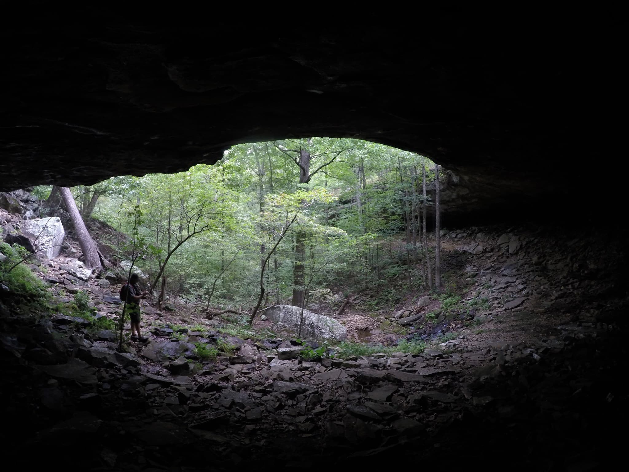
Hike to Hideout Hollow
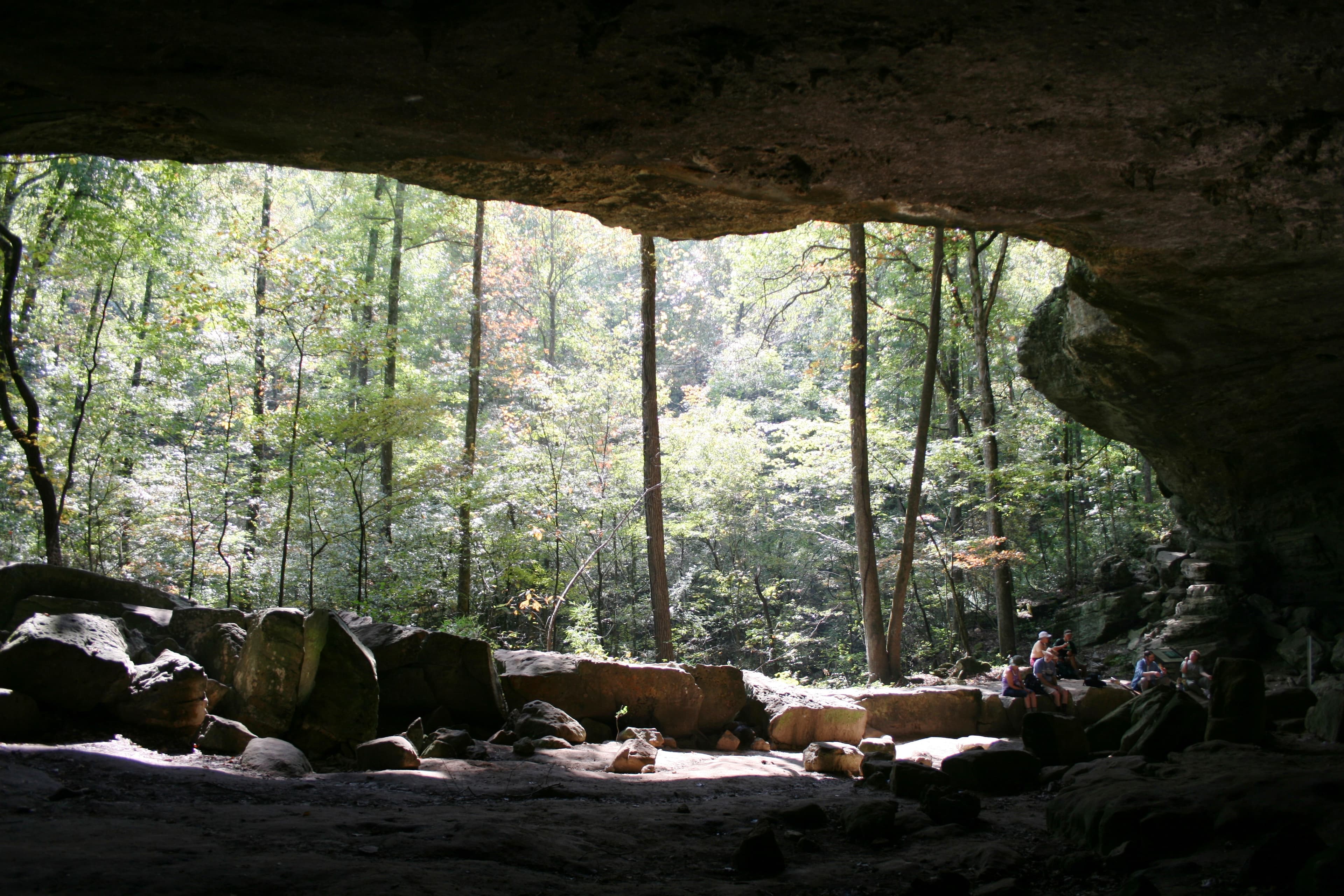
The Hideout Hollow Trail leads to a rock shelter that was once inhabited by a group of World War I draft dodgers called The Slacker Gang. The Slacker Gang was made up of 9 young men from the Cecil Cove area who refused to join the army and decided to go into hiding in the wilderness. The 9 young men remained in hiding for months before surrendering to the draft in 1918.
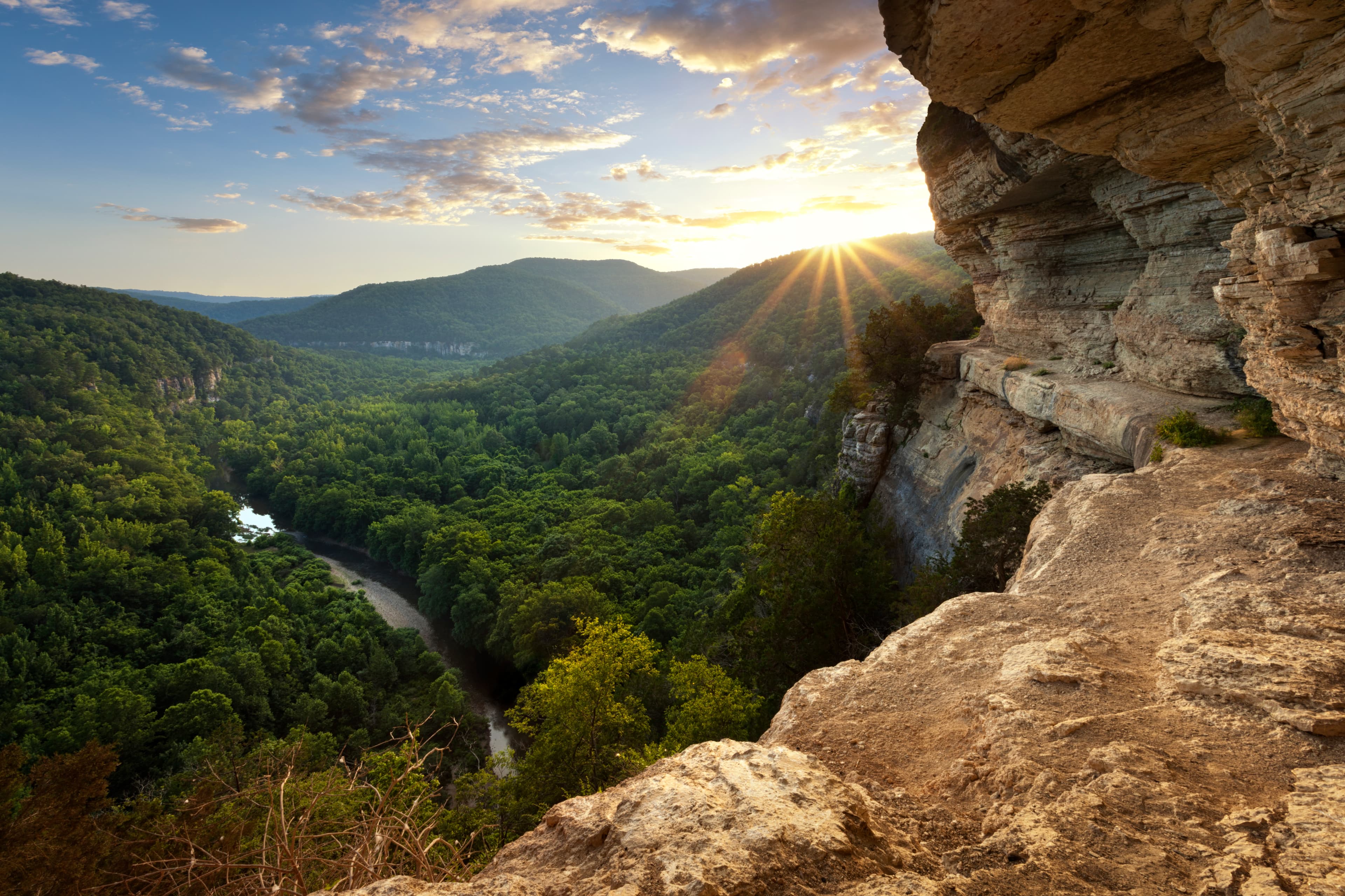
Hike to Big Bluff
The Centerpoint Trail is a strenuous hike that traverses the Ponca Wilderness, winding down an old wagon road descending nearly 1,300 ft. to the Buffalo River. The "Goat Trail" spurs off of Centerpoint and leads to iconic Big Bluff, which offers outstanding panoramic views of the Buffalo River and the rugged Ozark Mountains that surround it.
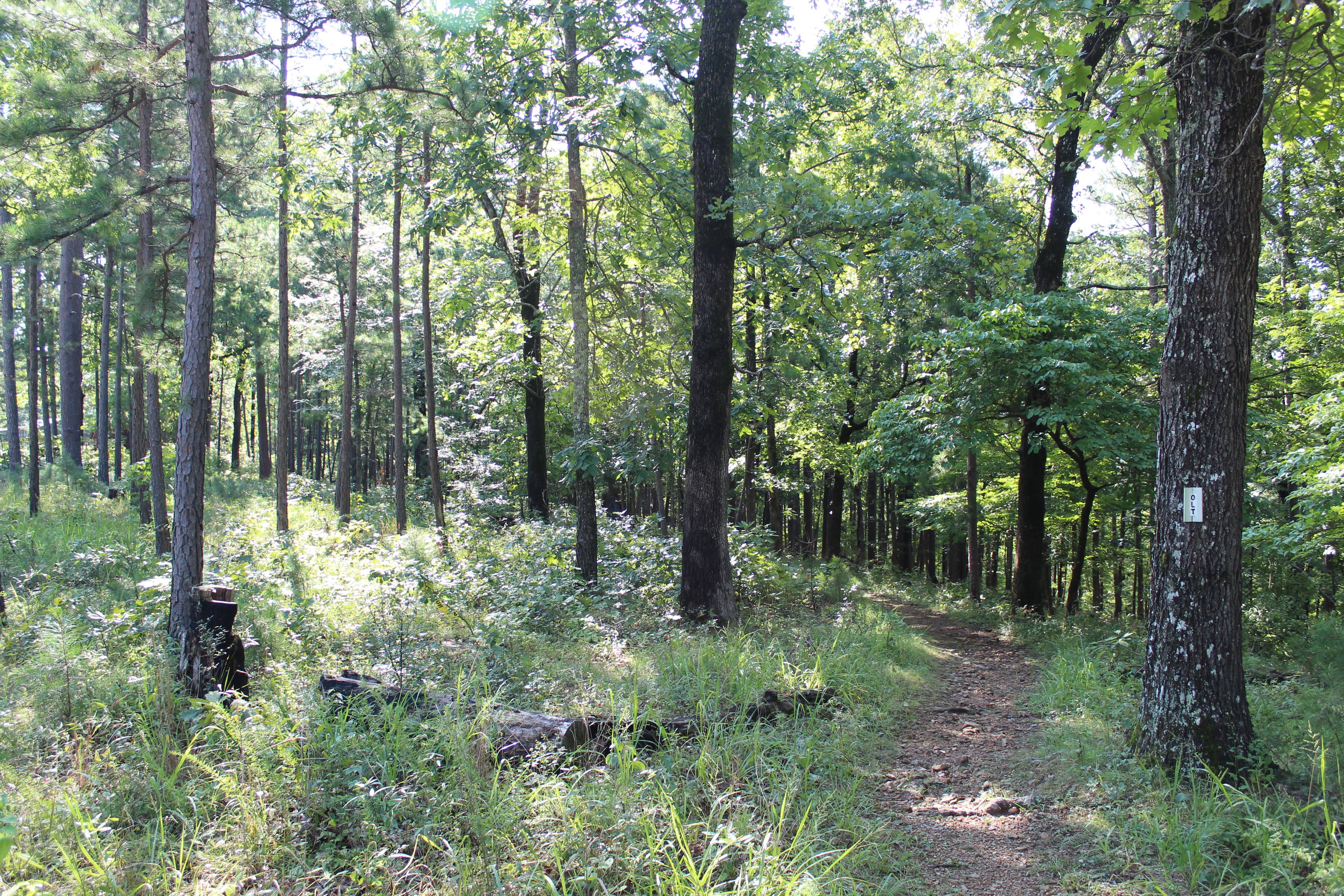
Hike the Buffalo Point Campground Trails
The Buffalo Point Campground Trails give campers, day hikers, and leashed dogs a chance to stretch their legs between the campground and the historic cabin area at Buffalo Point. Hike through a mix of a pine and oak trees, a cedar glade, and past a sinkhole as you explore. Wildflowers dot the trail system throughout the spring and summer. Finally, the view from the Overlook Trail is one that you do not want to miss!
Visitor Centers
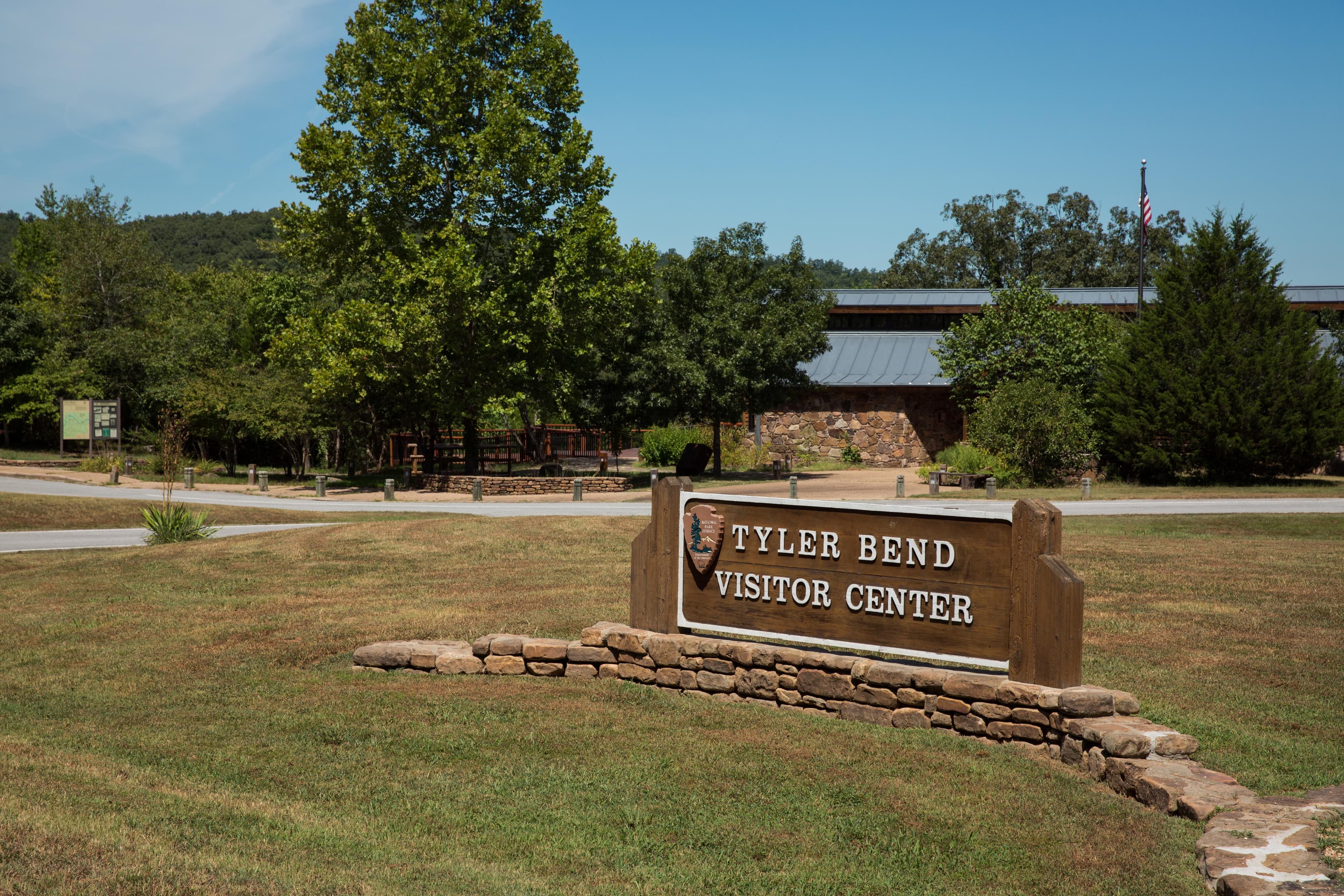
Tyler Bend Visitor Center
The Tyler Bend Visitor Center is located about 2 1/2 miles off of Highway 65 between St. Joe and Marshall, Arkansas. Here visitors can get park orientation information, stamp passport books, see the park film, and shop at the park bookstore.
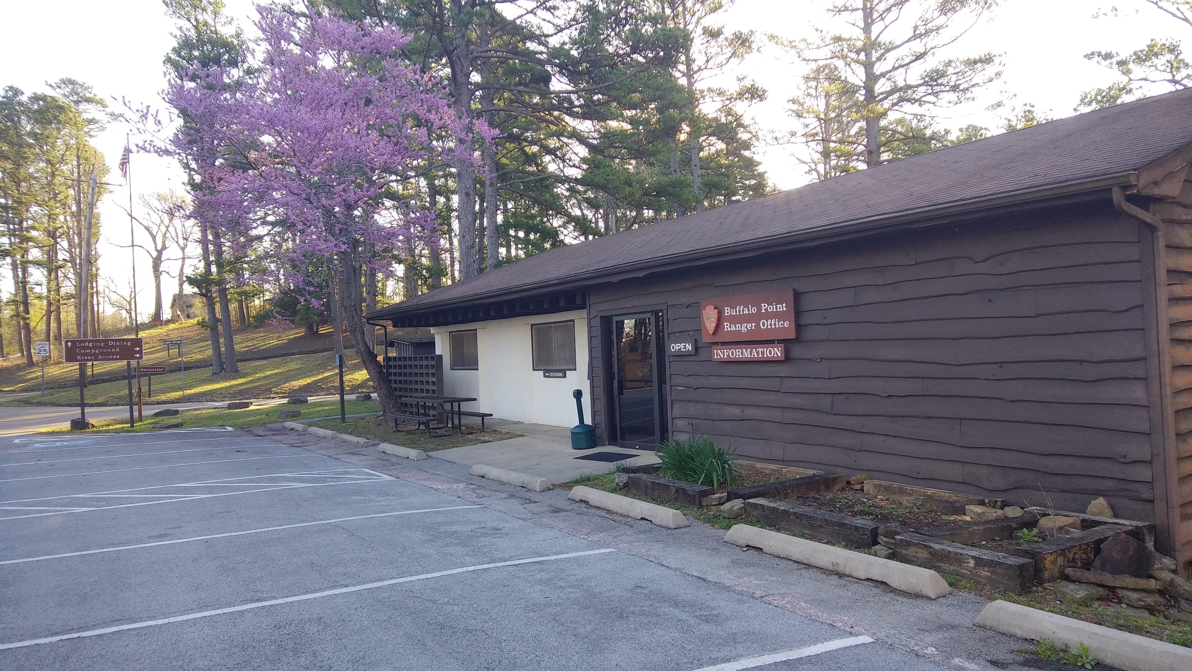
Buffalo Point Visitor Contact Station
The Buffalo Point Visitor Contact Station is located about 3 miles off of Highway 14, 14 miles south of Yellville. Signs on Highway 14 indicate the turn for Buffalo Point.
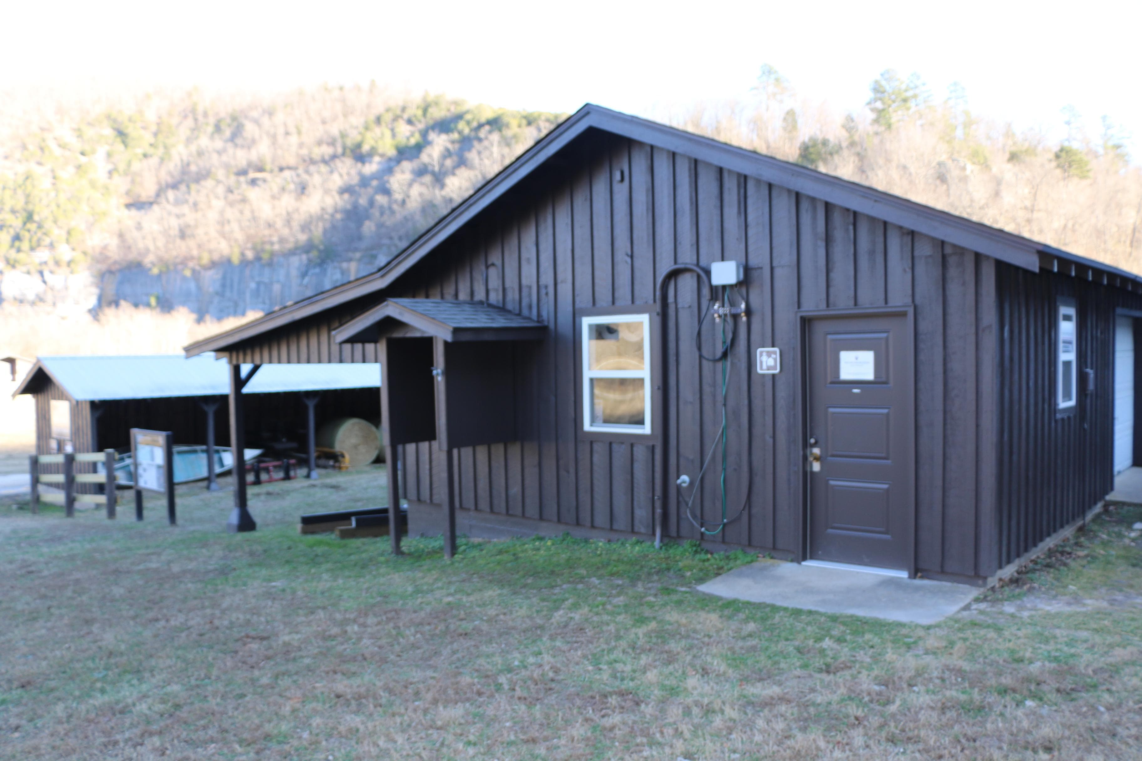
Steel Creek Ranger Station
Steel Creek Ranger Station is open in the summer on an intermittent basis as rangers are available. The Steel Creek Ranger Station is located in the Valley Y Ranch Historic Area of Steel Creek Campground. Please call before you visit to ensure that staff will be available to assist you: 870-861-2570.
Where to Stay
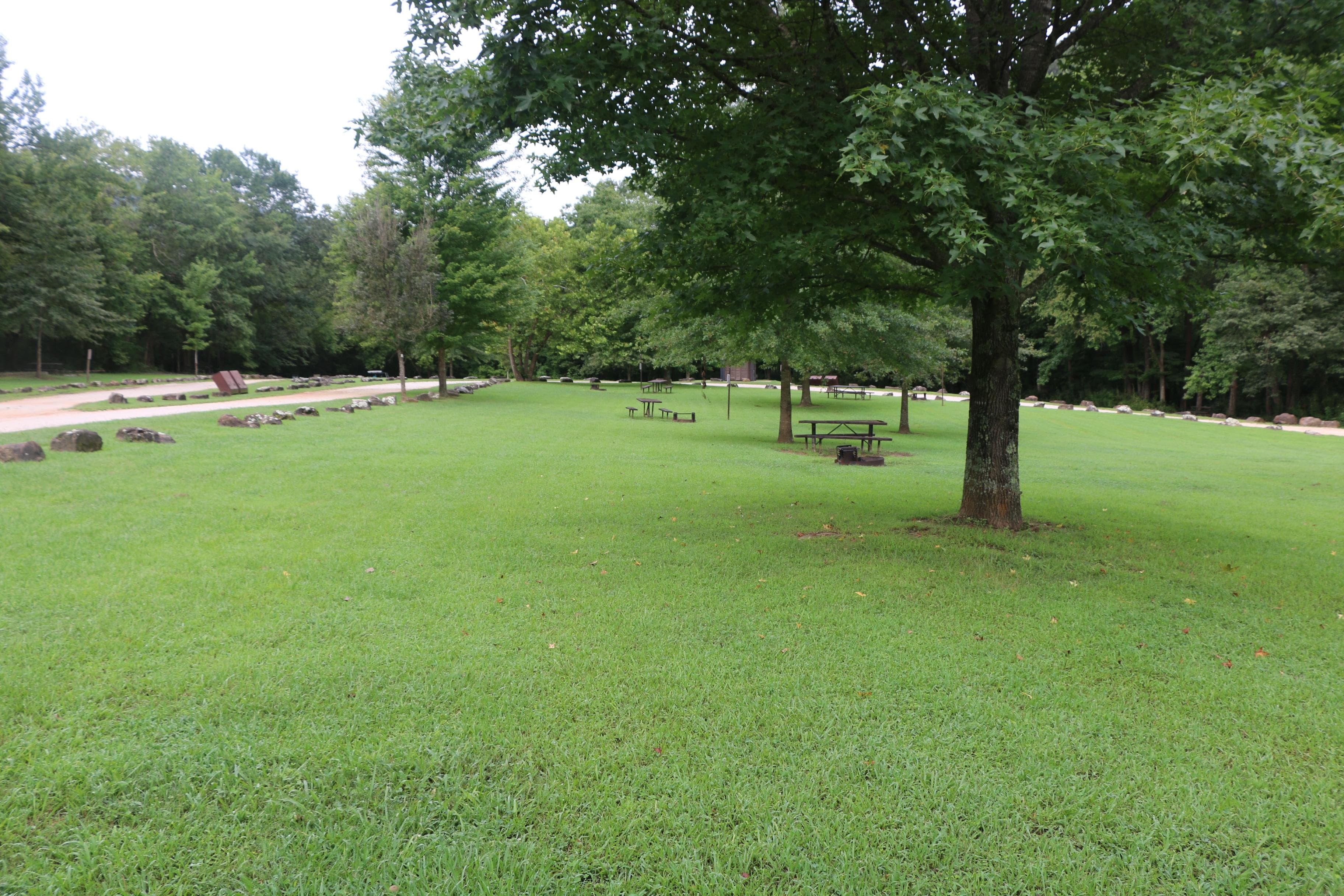
Kyles Landing
Kyles Landing Campground has 33 tent-only sites with no electrical amenities, but flush restrooms and water are available from approximately March 15 through November 14. All sites are available for reservation at recreation.gov or by calling 877-444-6777. Reservations can be made same day and up to 6 months in advance between approximately March 15 and November 14 every year. Please note: RVs, camping trailers, motorhomes, and popup campers are prohibited. The road to access Kyles is a steep gravel road.
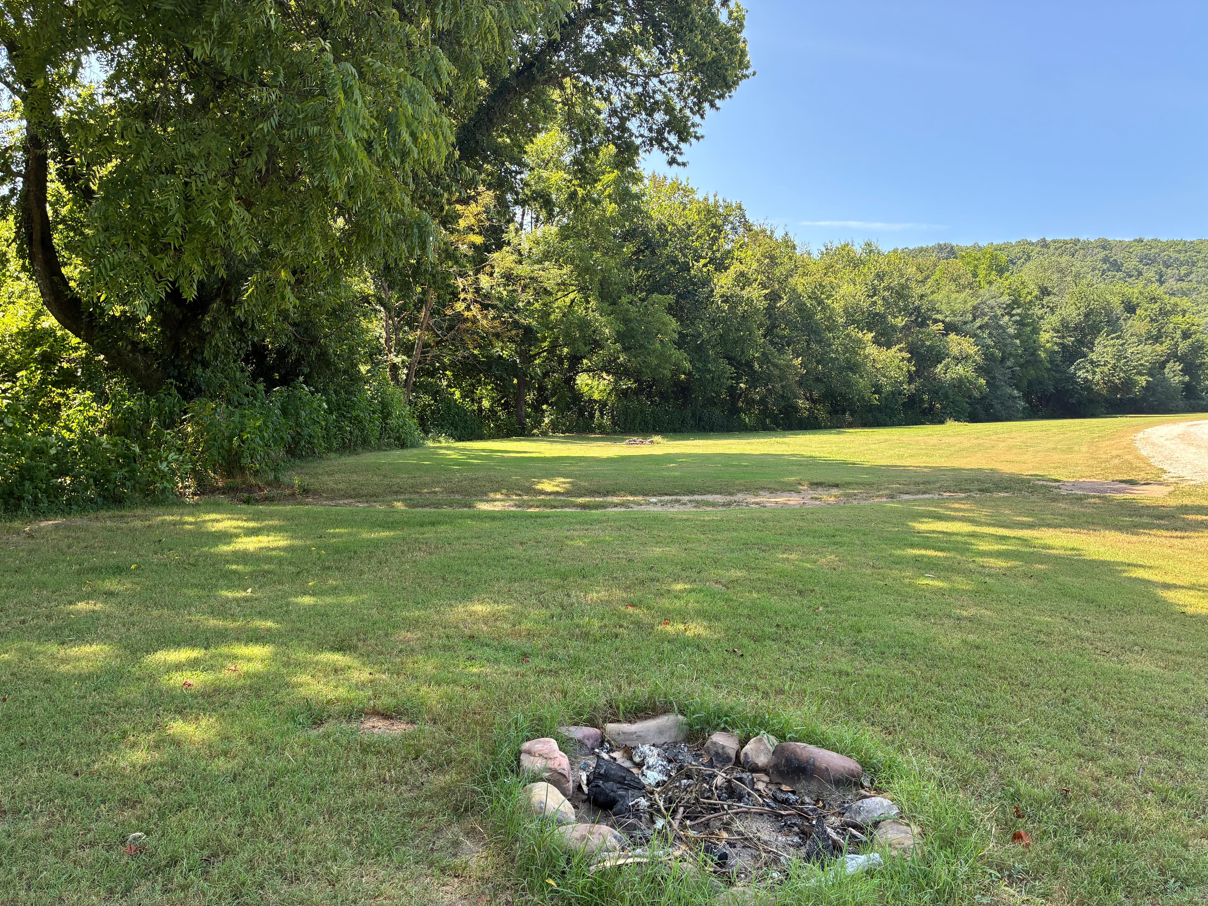
Woolum
Woolum Campground is a large open field at the Woolum access to the Buffalo River near St. Joe, Arkansas. There are no amenities at Woolum. There are no designated sites. A vault toilet is available. Fees are not charged at Woolum.
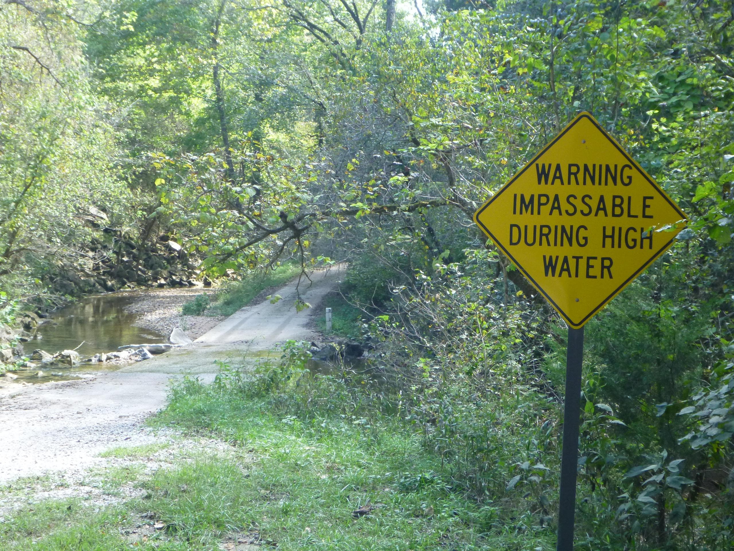
Rush Campground
Rush Campground has 12 tent only sites with no electrical amenities and no flush restrooms. Reservations are required to camp at Rush Campground through recreation.gov or by calling 877-444-6777. Drinking water is available when fees are collected from approximately March 15 - November 14. It is free to camp at Rush in the winter. All sites are limited to 6 people per site, and each site is $16 per night.
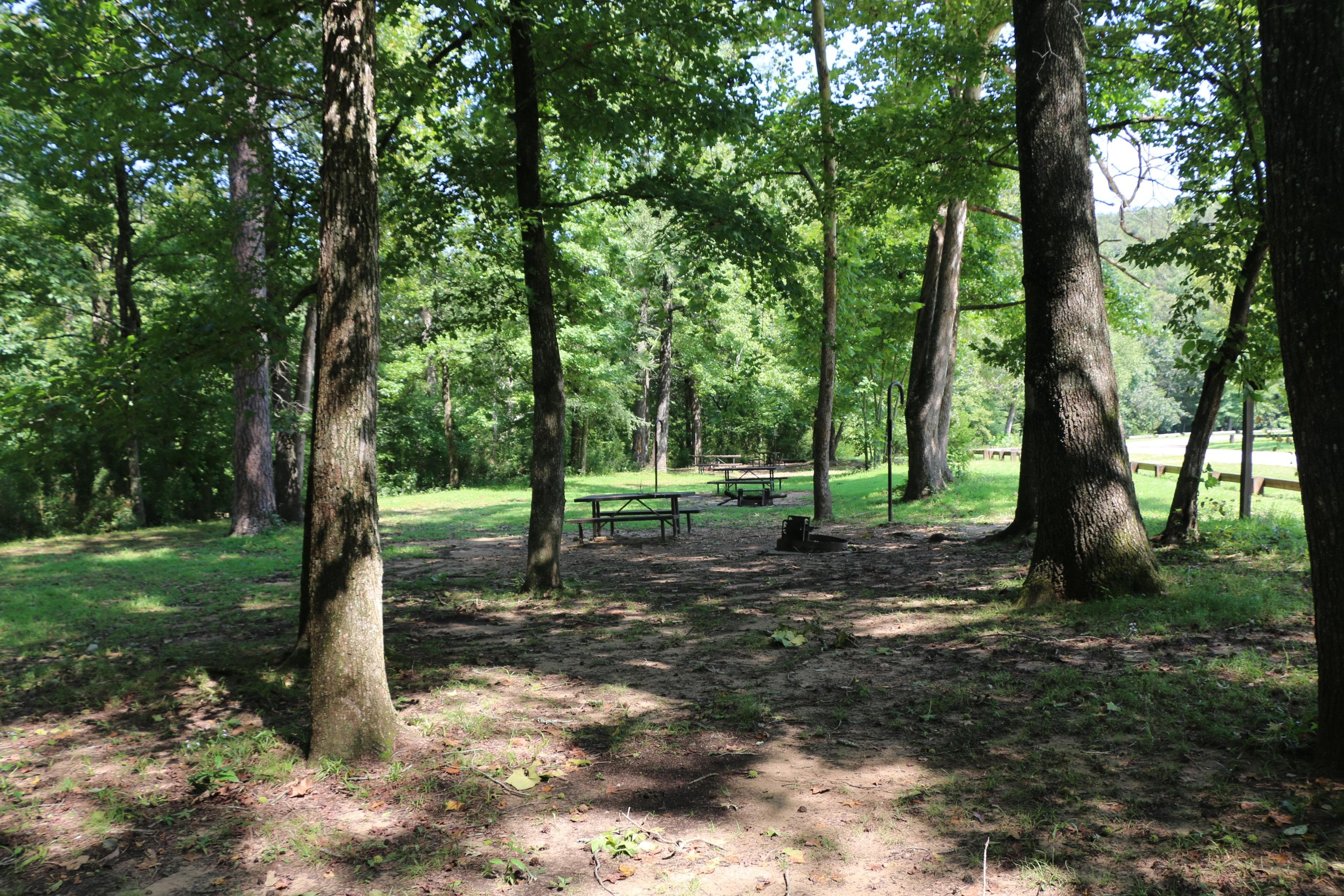
Ozark Campground
Ozark Campground has 31 drive-in and tent sites with no electrical amenities, but flush restrooms and water are available from approximately March 15 through November 14. All sites are available for reservation at recreation.gov or by calling 877-444-6777. Reservations can be made same day and up to 6 months in advance between March 13 and November 15, 2026.
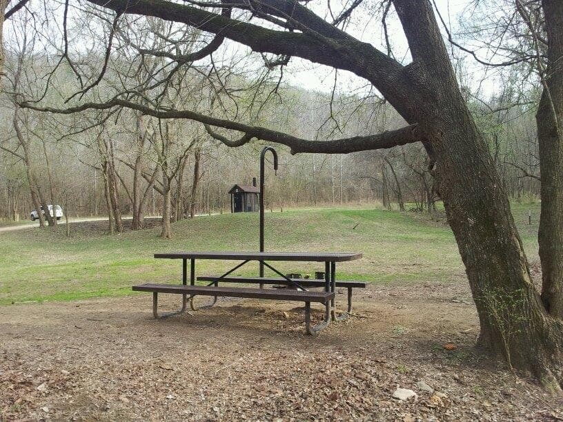
Spring Creek Campground
Spring Creek Campground is a first come, first serve campground near Harriet, Arkansas. Spring Creek has 12 tent only sites with no electrical amenities, no flush restrooms, and no water.
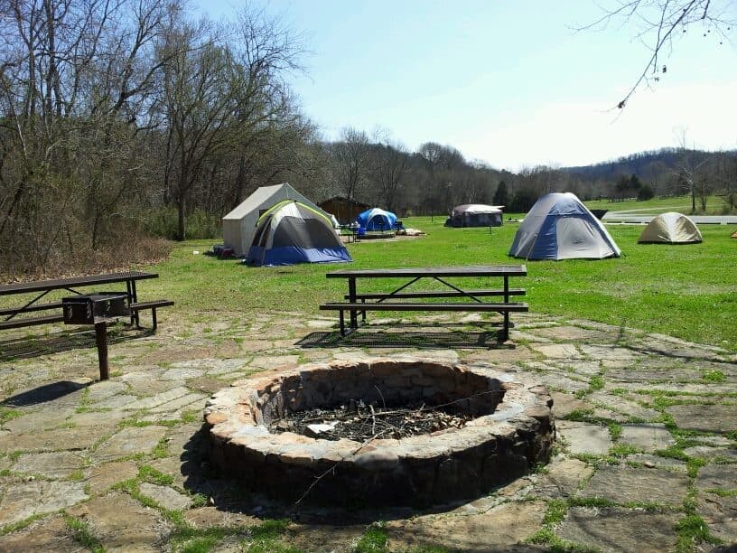
Tyler Bend Campground
Tyler Bend Campground is a developed campground in the middle district of the park. It has 27 drive-in sites, 10 walk-in tent sites, 5 group sites, and a pavilion. The campground has flush restrooms, showers, dump station, potable water, but no electrical amenities. Reservations are required through recreation.gov or by calling 877-444-6777. Fees are charged from approximately March 15 through November 14. It is free to camp over the winter, but amenities are limited during that time.
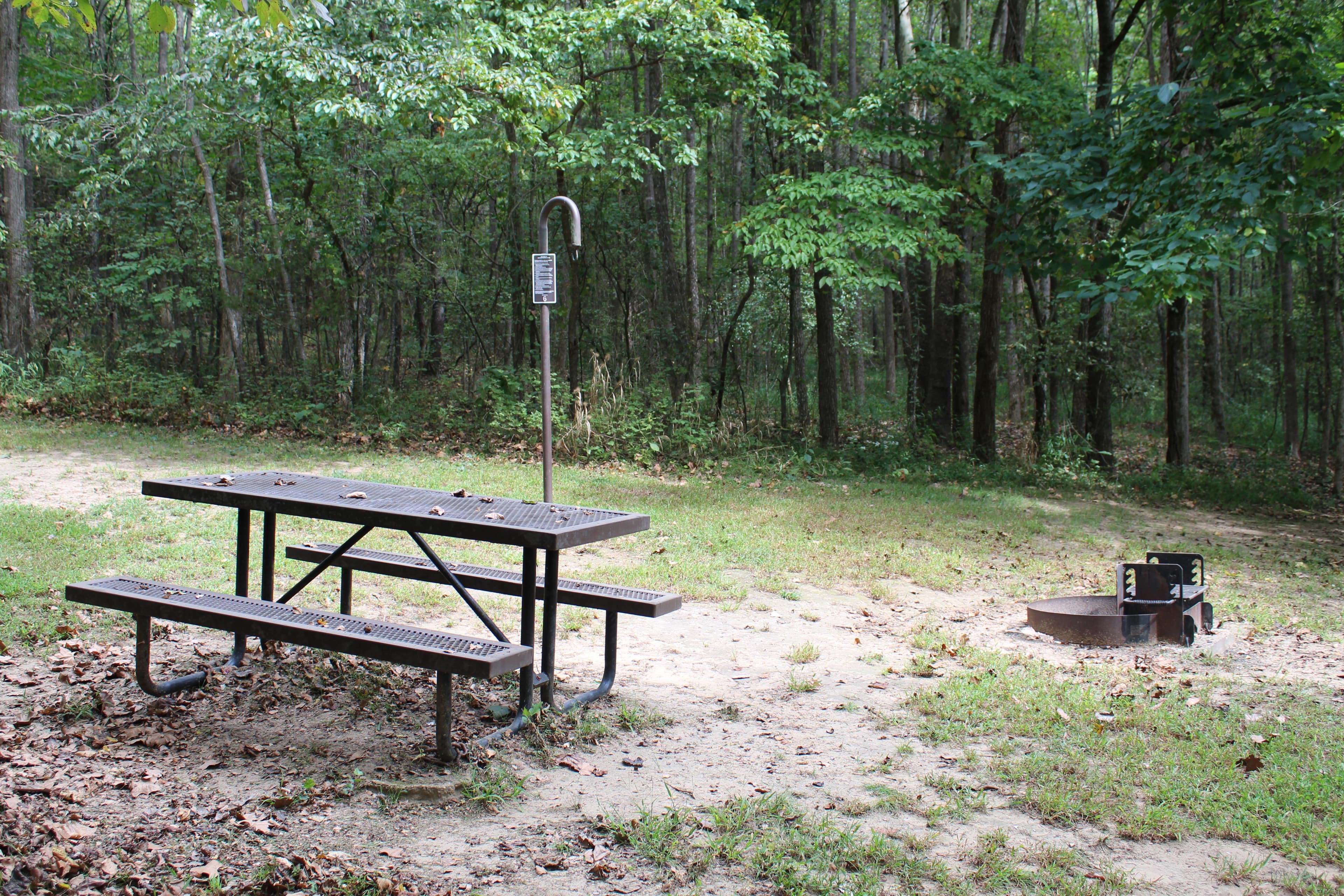
South Maumee
South Maumee Campground is a campground in the lower district of the Buffalo River. There are no amenities at South Maumee. There are no designated sites. A vault restroom is available. Fees are not charged at Maumee South.
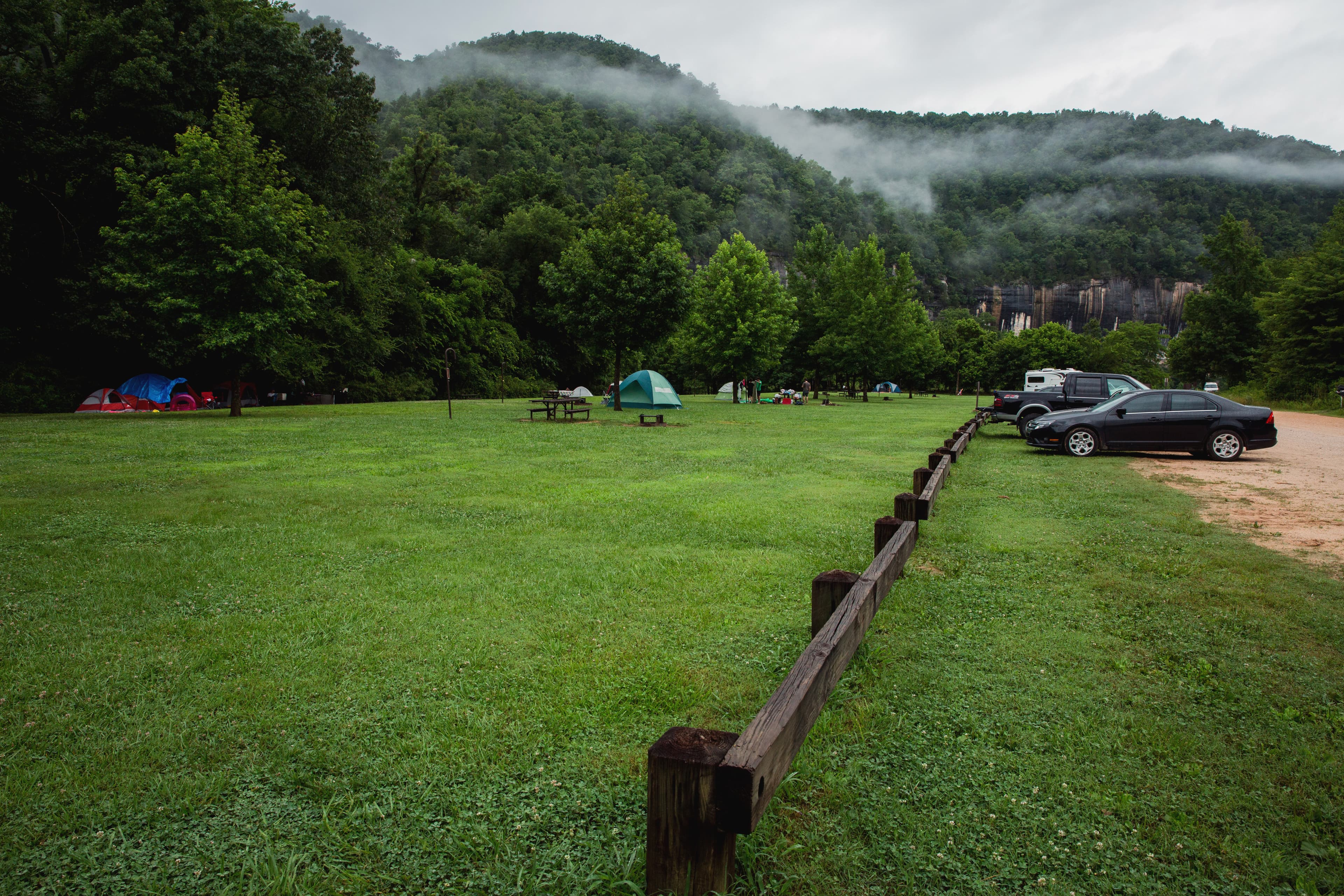
Steel Creek Campground
Steel Creek Campground has 26 tent-only sites and 13 sites for campers with horses/stock animals (six people and six stock animals allowed per site). There are no electrical amenities, but flush restrooms and water are available from approximately March 15 through November 14. All sites are available for reservation at recreation.gov or by calling 1-877-444-6777. Reservations can be made same day and up to 6 months in advance.
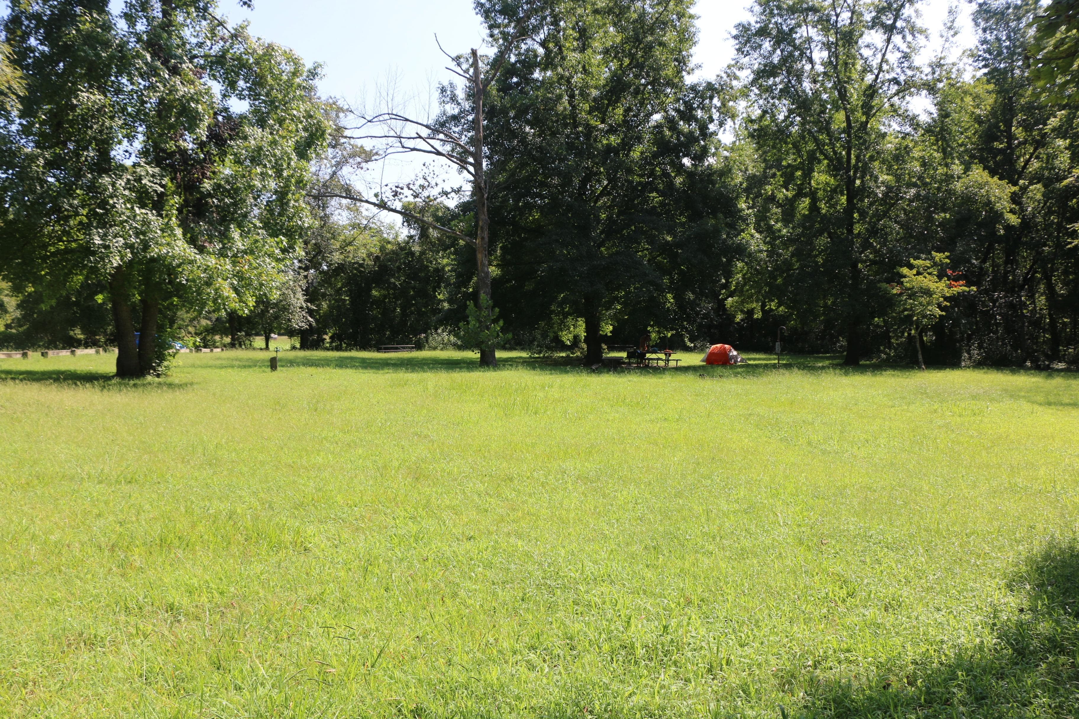
Carver Campground
Carver Campground has 8 tent-only sites. There are no electrical amenities, but flush restrooms and water are available from approximately March 15 through November 14. Water and a vault restroom is available. All sites are available for reservation at recreation.gov or by calling 1-877-444-6777. Reservations can be made same day and up to 6 months in advance.
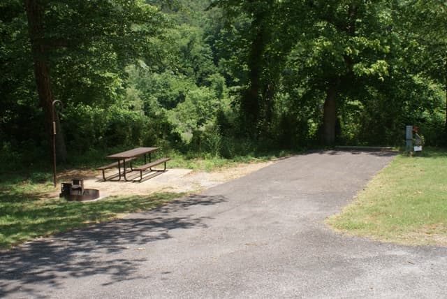
Buffalo Point Campground
Buffalo Point Campground is the park's largest and most developed campground. It offers water and electrical hookups for RVs. Some sites at Buffalo Point are available for reservation at www.recreation.gov (1-877-444-6777) and others are first-come, first-serve. Flush restrooms, dump station, showers, water, and electricity are available from approximately March 15 - November 14 when fees are charged. Fees are not charged from approximately November 15 to March 14 when only B Loop is open with no amenities.
Erbie Campground
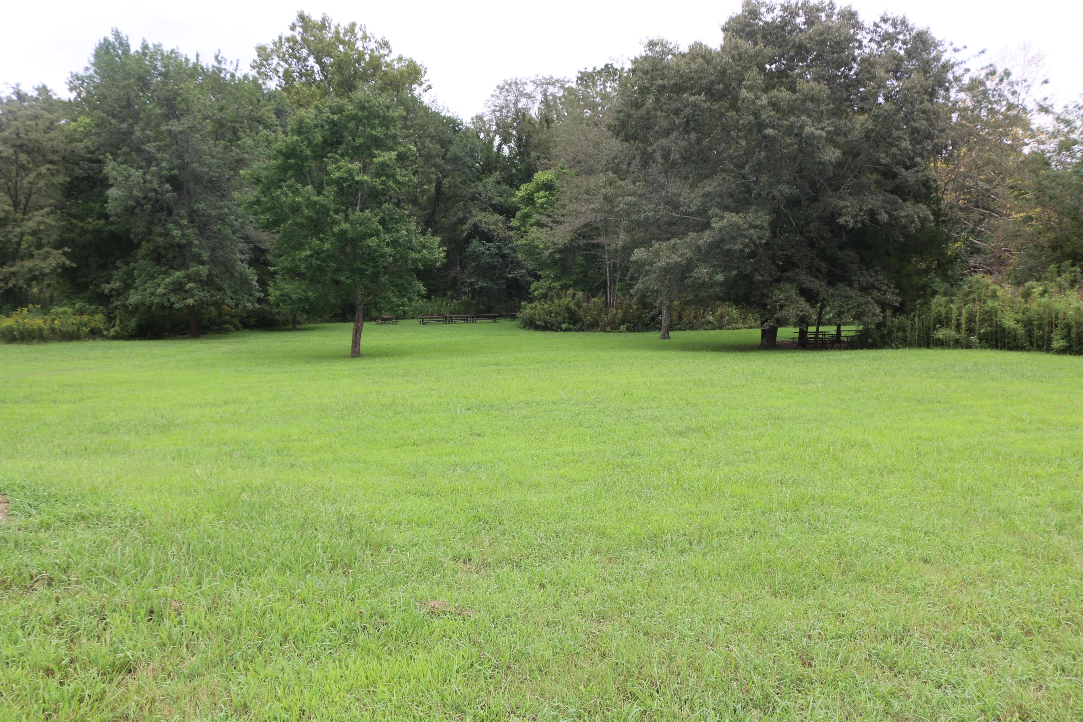
Erbie Campground has 13 primitive drive-in camp sites (suitable for tents too), 13 walk-in tent-only sites, and 5 group sites. There are no sewer, electrical amenities, or water hookups in the campground. Flush restrooms and water spigots are available from approximately March 15 through November 14. Reservations for individual sites is same day to 6 months in advance. Reservations for group sites only can be made same day to one year in advance through recreation.gov.
Getting Here & Transit
How to Get Here
Buffalo National River is a long, narrow park that is crossed by three main highways. Highways 7, 43, and 62/65 are the main roads out of Harrison, Arkansas that will take you to the Buffalo River, depending on which part of the park you wish to visit. GPS systems are not reliable in this area so please call ahead for directions or pick up a map of the area beforehand.
Park Amenities
Operating Hours
Buffalo National River
Buffalo National River is 135 miles long. The park is open 24 hours.
- MondayAll Day
- TuesdayAll Day
- WednesdayAll Day
- ThursdayAll Day
- FridayAll Day
- SaturdayAll Day
- SundayAll Day
Photos
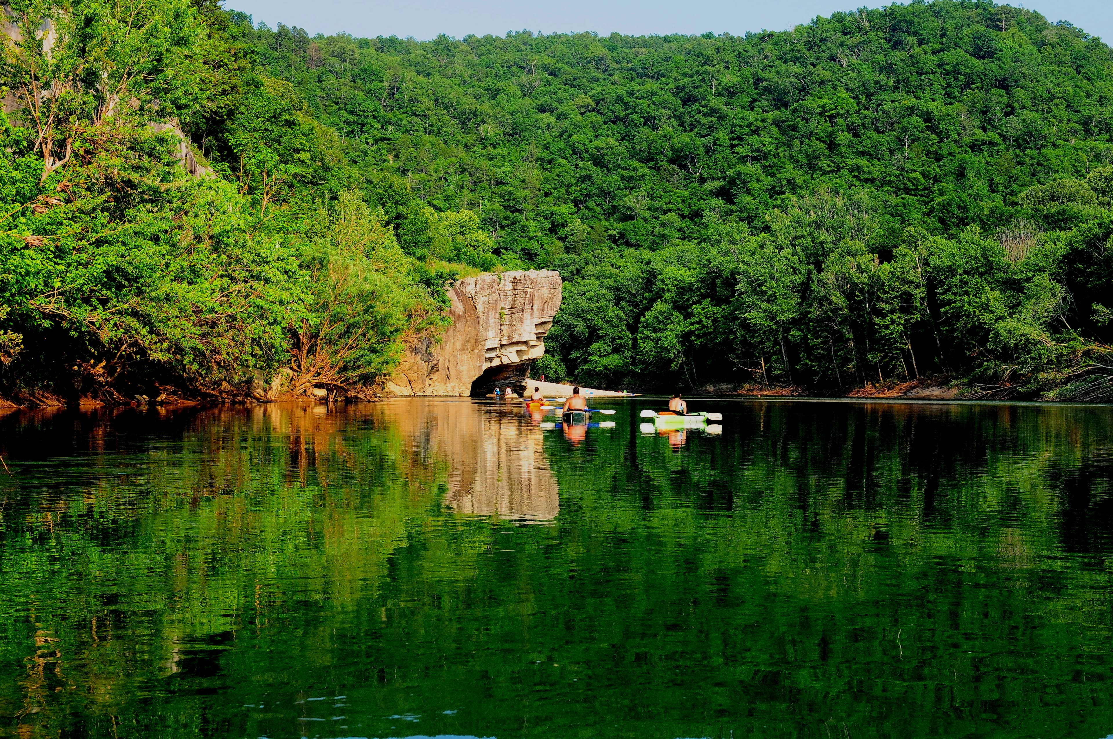
Kayakers floating towards Skull Rock near Buffalo Point.
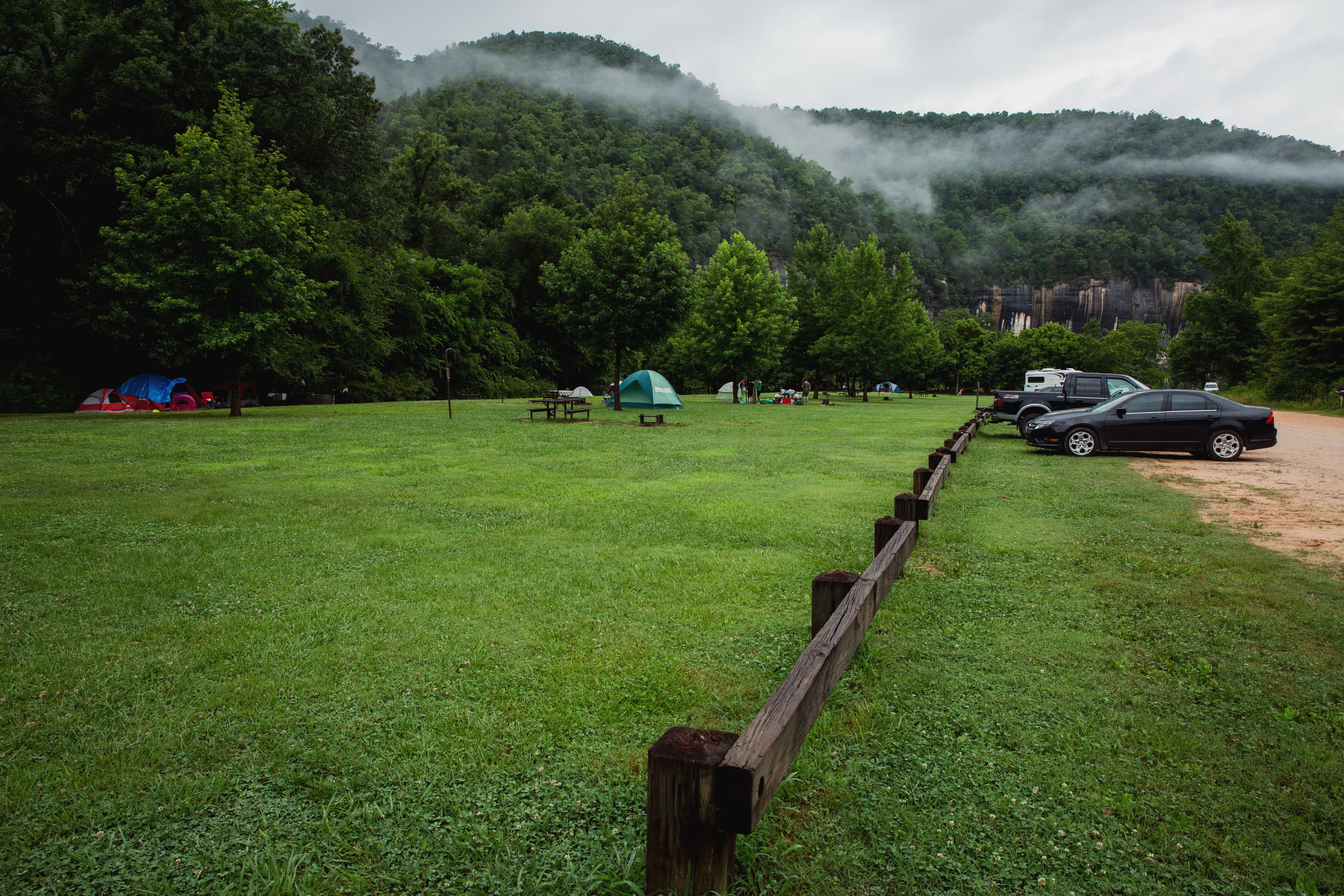
Camping at Steel Creek
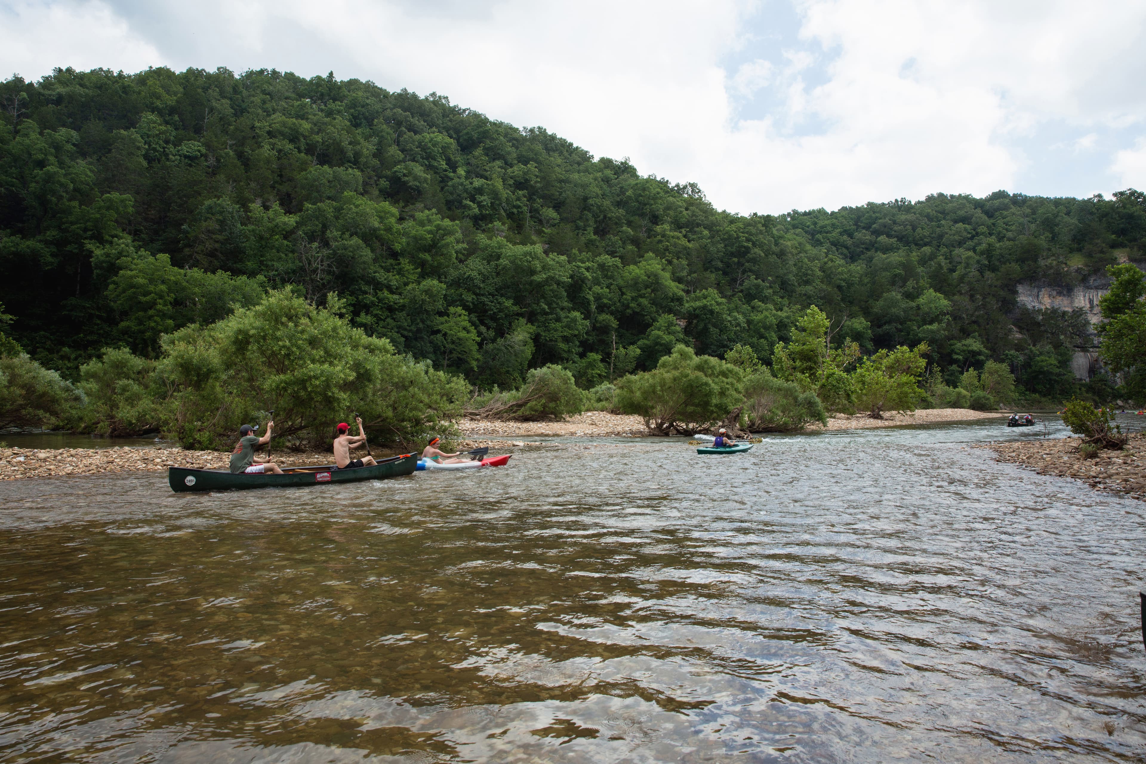
Floaters on the river.
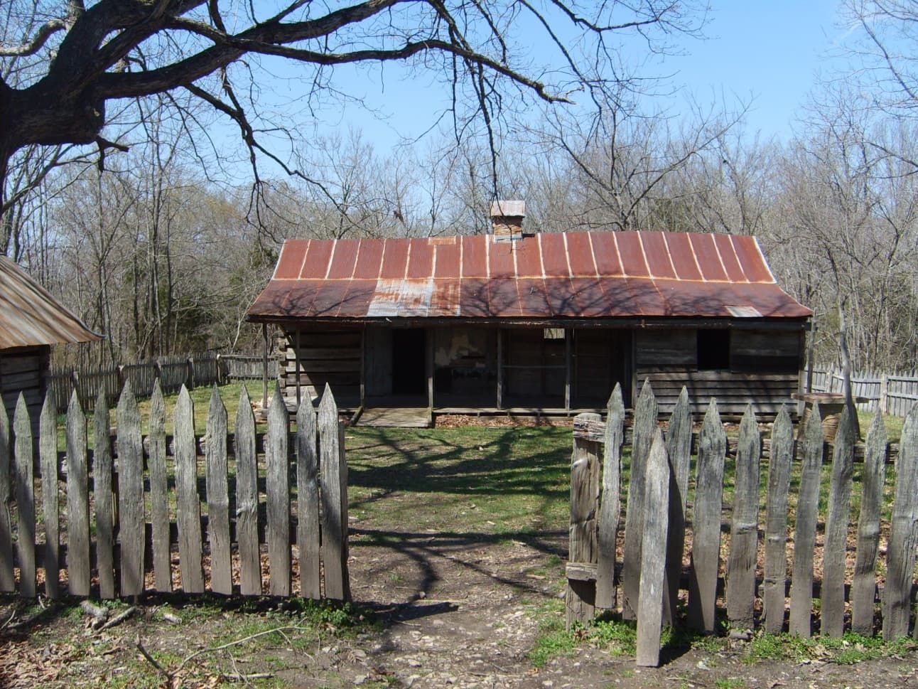
Historic homestead built by the Collier Family.
When to Go
Crowd CalendarPlan your trip around peak seasons to avoid crowds or embrace the energy of the busy months. Our crowd predictions are based on historical NPS Visitor Use Statistics.
Jan
Feb
Mar
Apr
May
Jun
Jul
Aug
Sep
Oct
Nov
Dec
Build your Buffalo itinerary
Tell Miza your dates, pace, and interests—get a day-by-day plan with hikes, drives, and must-see stops.
Best Time
Year-round
Trip Length
1 day
Searching for the best hotel deals near Buffalo National River...
Planning Buffalo National River
These common questions go deeper into logistics and planning. For real-time updates on road closures and current conditions, always check the Alerts section above.