
Entrance Fee
$35.00
/ Entrance - Private Vehicle
Park Hours (Today)
All Day
Bryce Canyon Visitor Center: 8:00AM - 8:00PM
Miza AI
Plan your Bryce Canyon trip
About the Park
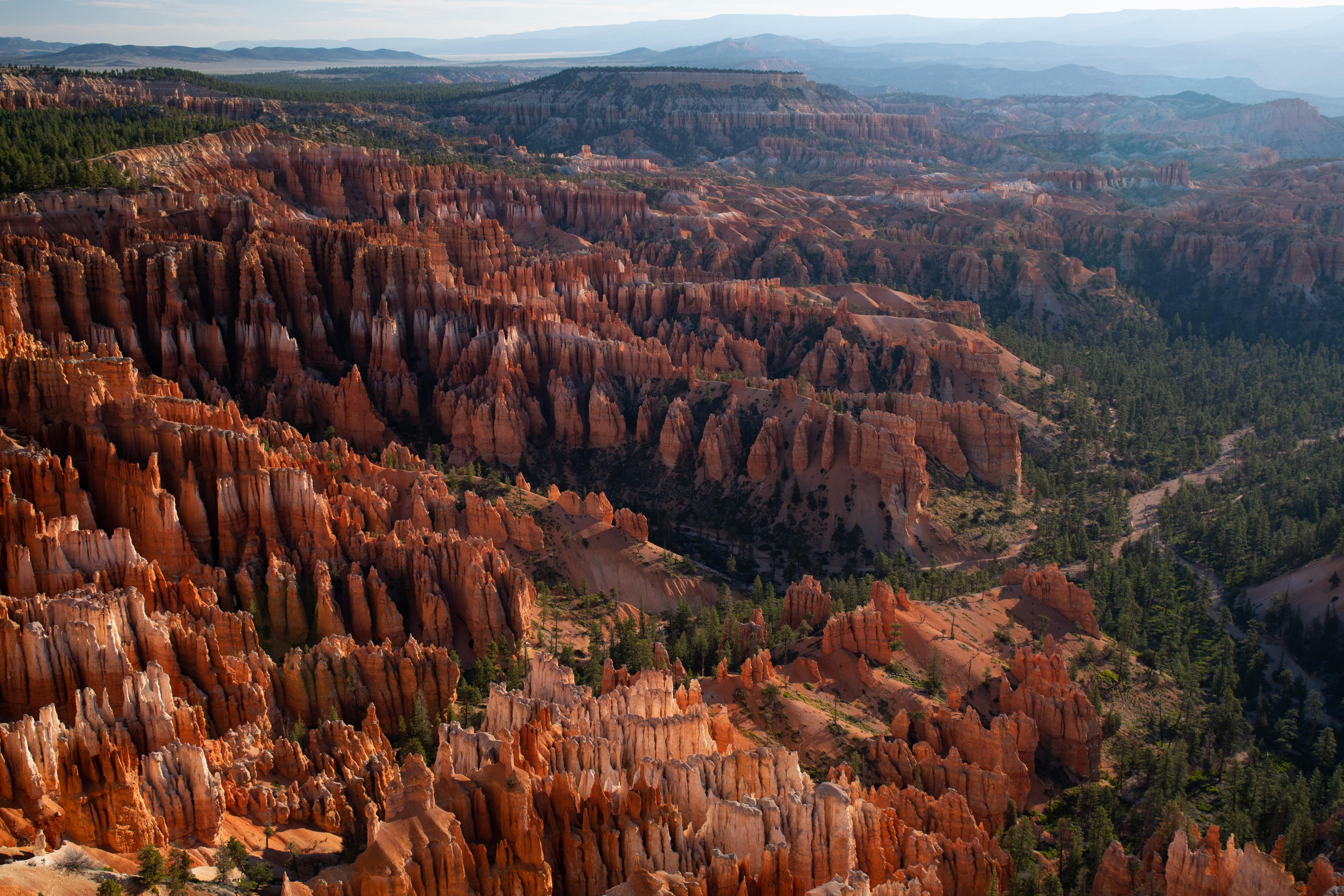
Hoodoos (irregular columns of rock) exist on every continent, but here is the largest concentration found anywhere on Earth. Situated along a high plateau at the top of the Grand Staircase, the park's high elevations include numerous life communities, fantastic dark skies, and geological wonders that defy description.

Ready to explore Bryce Canyon National Park?
Take the stress out of planning. Our AI will automatically sequence your stops, find the best hotels, and optimize your driving time in seconds.
What to See & Do
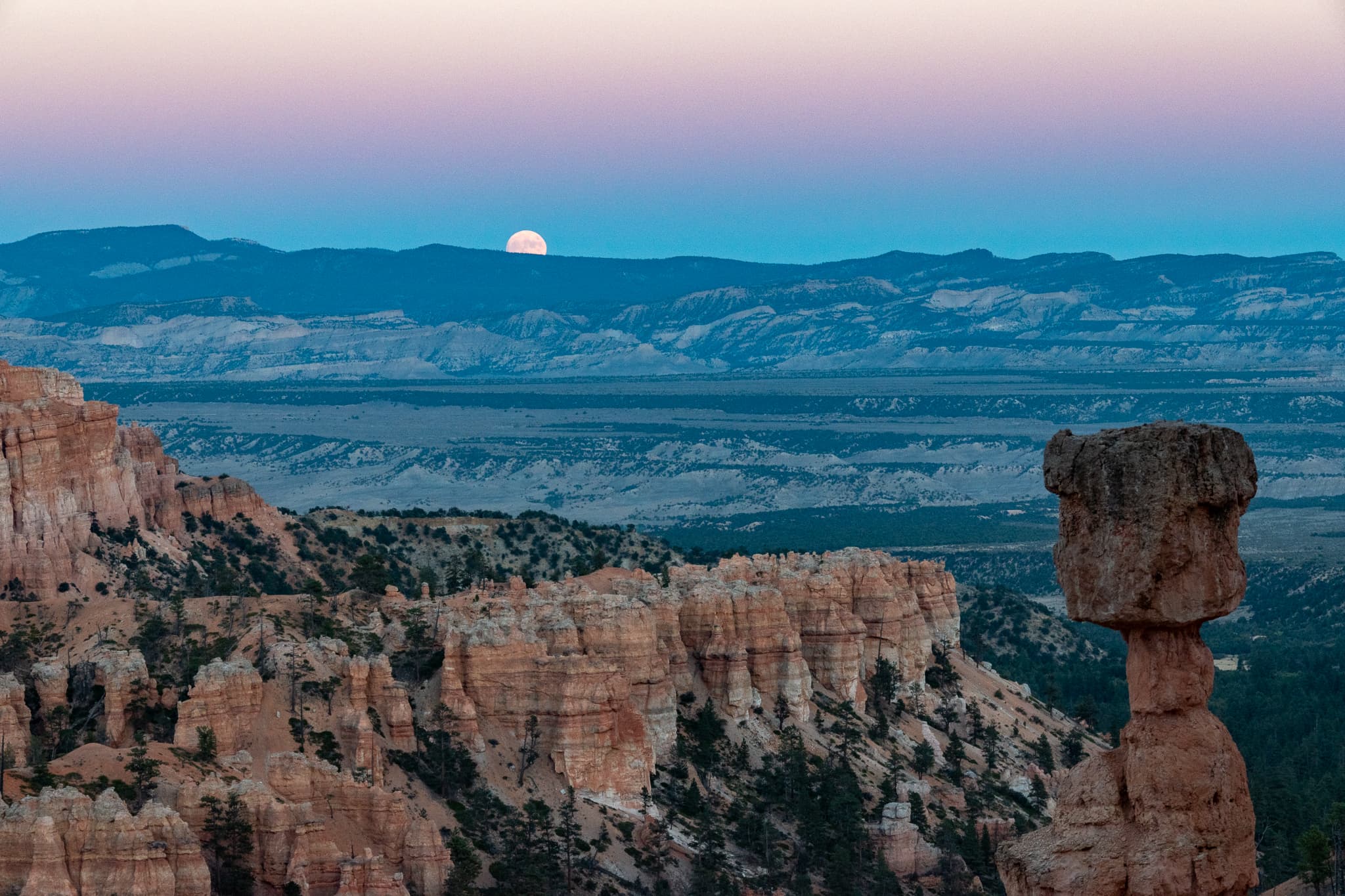
Full Moon Hike
Typically offered year-round at sunset as weather permits. Those planning to join a ranger-led full moon hike at Bryce Canyon National Park can make reservations online via Recreation.gov. Tickets for each month’s hike are released in two phases, 14 and 5 days in advance.
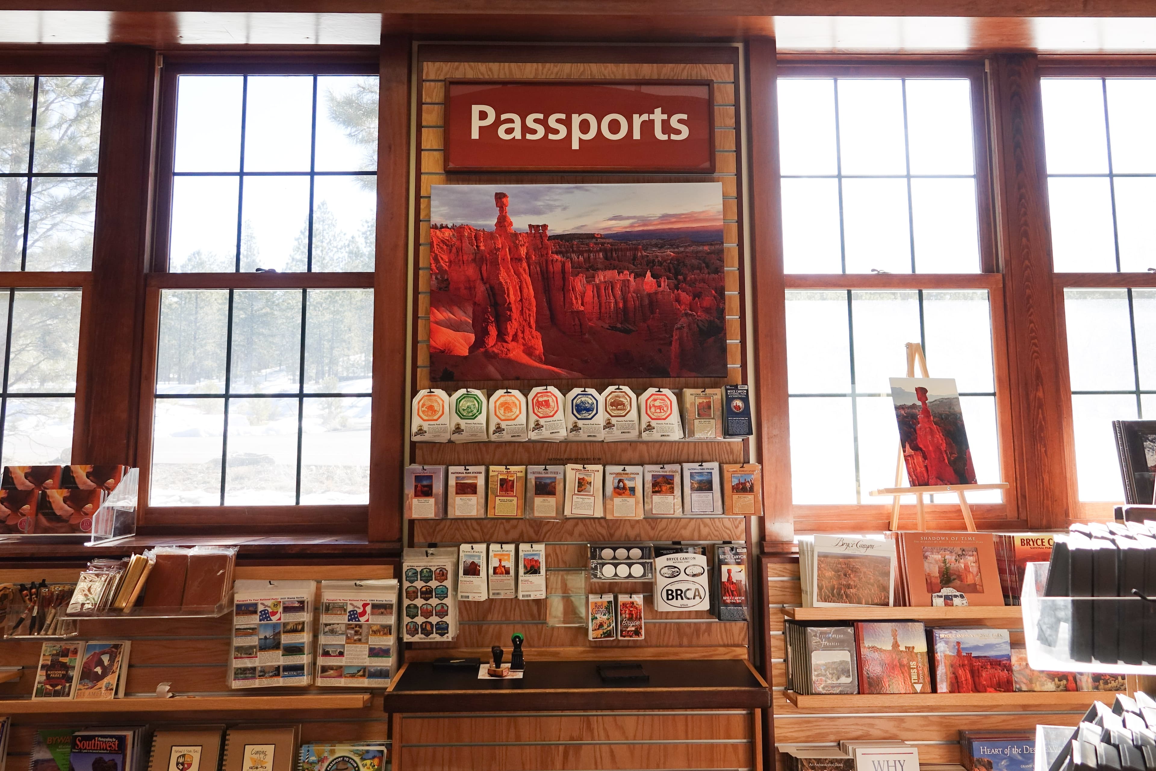
Get a Passport Stamp
Are you a "Passport to Your National Parks" cancellation collector? Bryce Canyon has a cancellation stamp to commemorate your visit in your passport book.
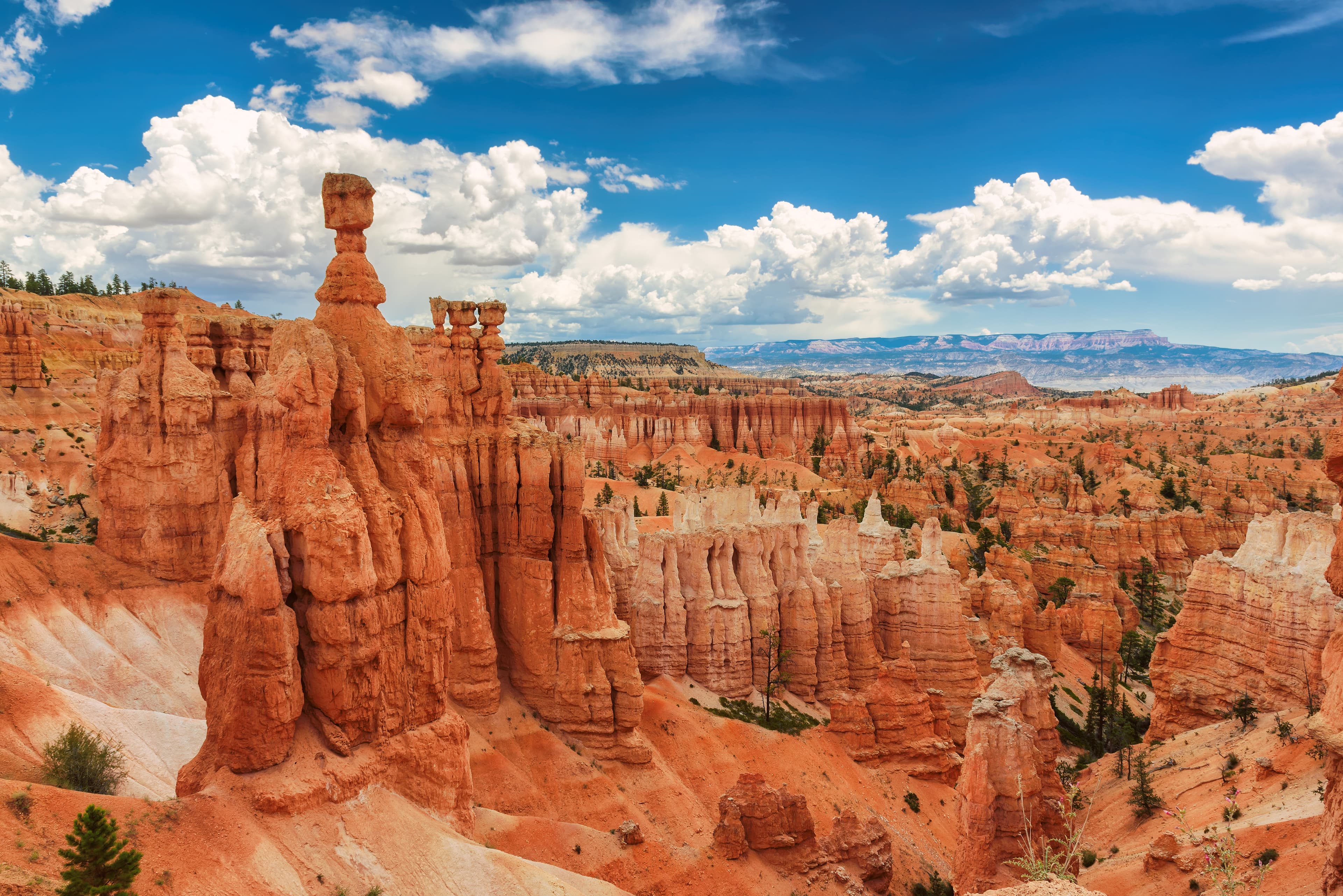
Navajo/Peekaboo Combination Loop
Combine two of our most iconic trails, the Navajo and Peekaboo Loop trails, into a a mini Figure-8 combination loop. Start the hike at Sunset Point, descend down either side of the Navajo Loop (Two Bridges in winter), connect to the Peekaboo Loop (we recommend hiking it in a clockwise direction), and ascend Navajo back to Sunset Point.
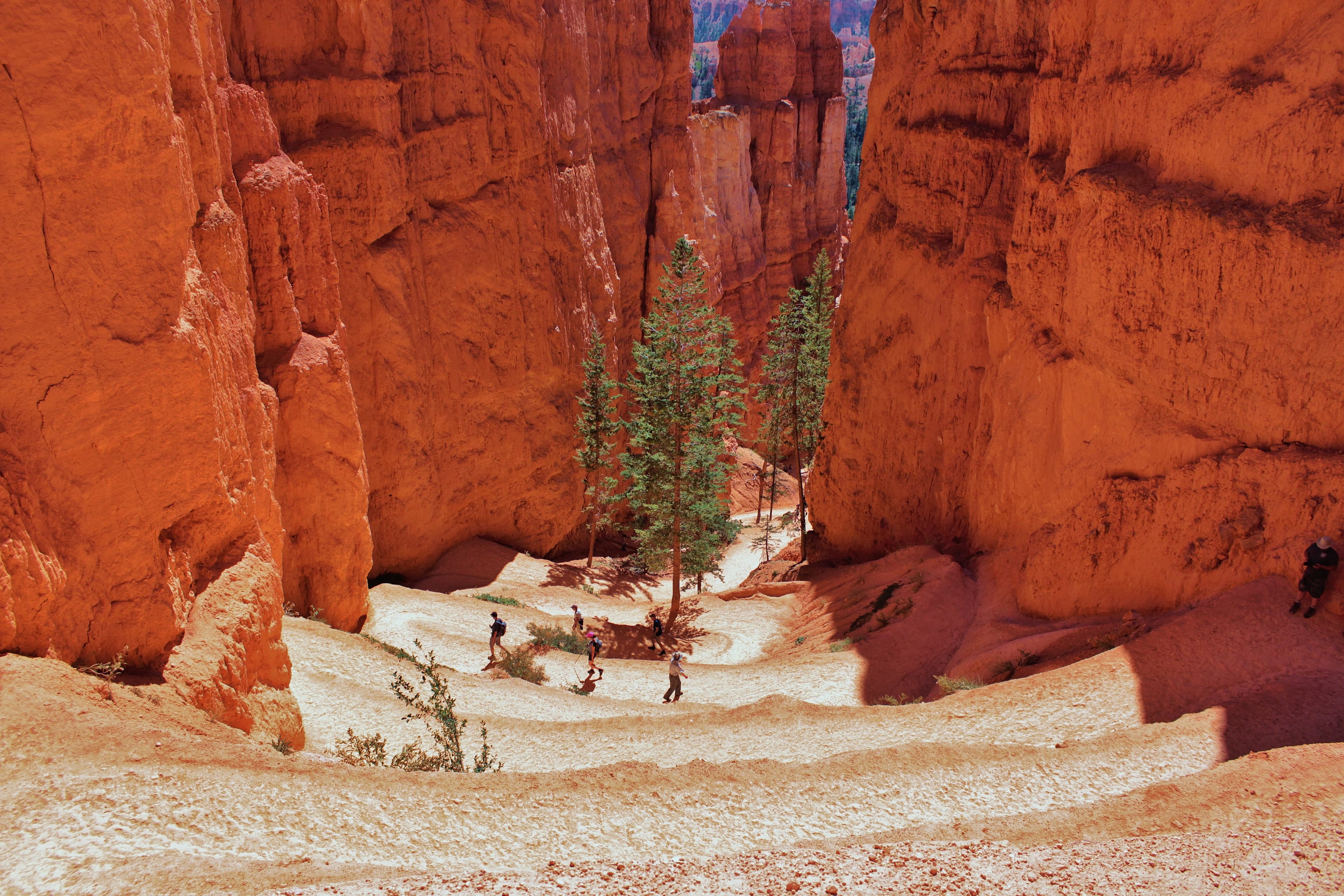
Navajo Loop Trail
The iconic Navajo Loop Trail begins and ends at Sunset Point. Its switchbacks wind between narrow walls of colorful limestone with views of towering Douglas-fir trees and the park's most famous hoodoo: Thor's hammer. The loop has two sides: Two Bridges and Wall Street. The Two Bridges side is open year-round, however, the Wall Street side is closed during the winter months. During this time Two-Bridges can be hiked as an out-and-back trail or combined with other trails.
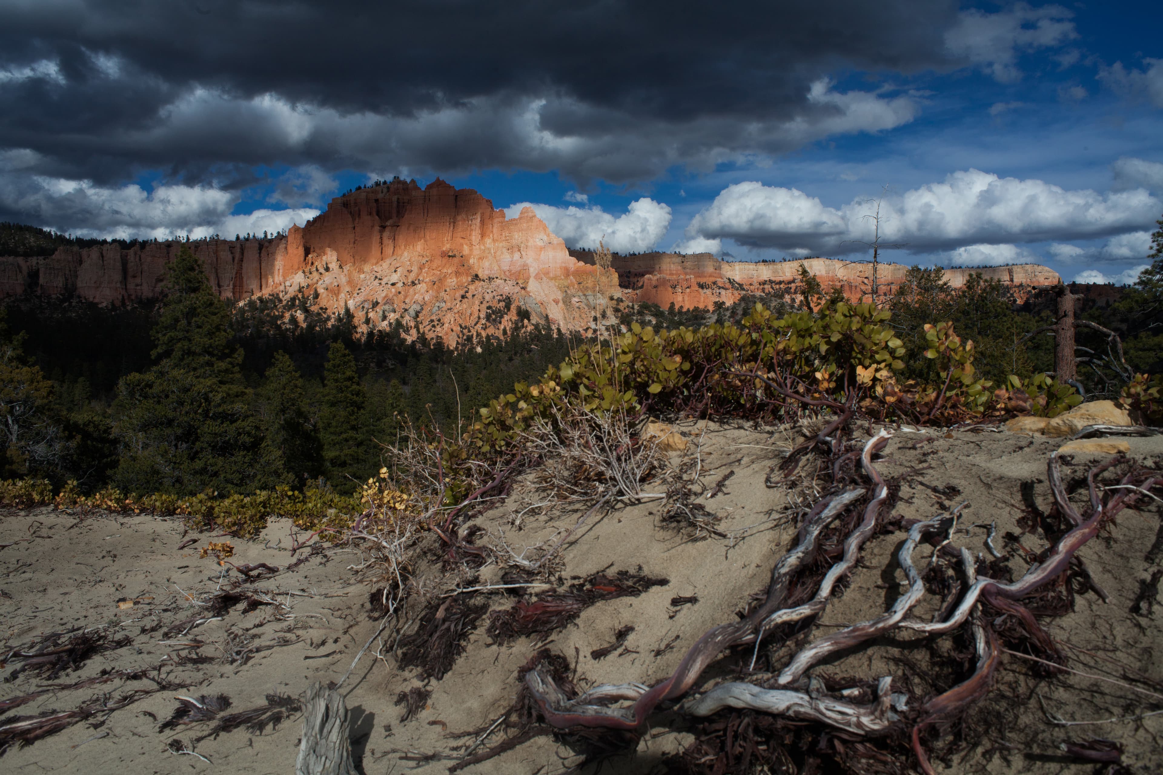
Swamp Canyon Loop
Swamp Canyon appears relatively small and sheltered from the overlook, allowing the viewer to develop a more intimate connection with the landscape than some of the grander viewpoints in the park. The Swamp Canyon Loop, which starts at the viewpoint, is more rugged than the Bryce Amphitheater trails, taking hikers into a more forested backcountry hike. There is less signage on this hike and hikers are encouraged to carry a map.
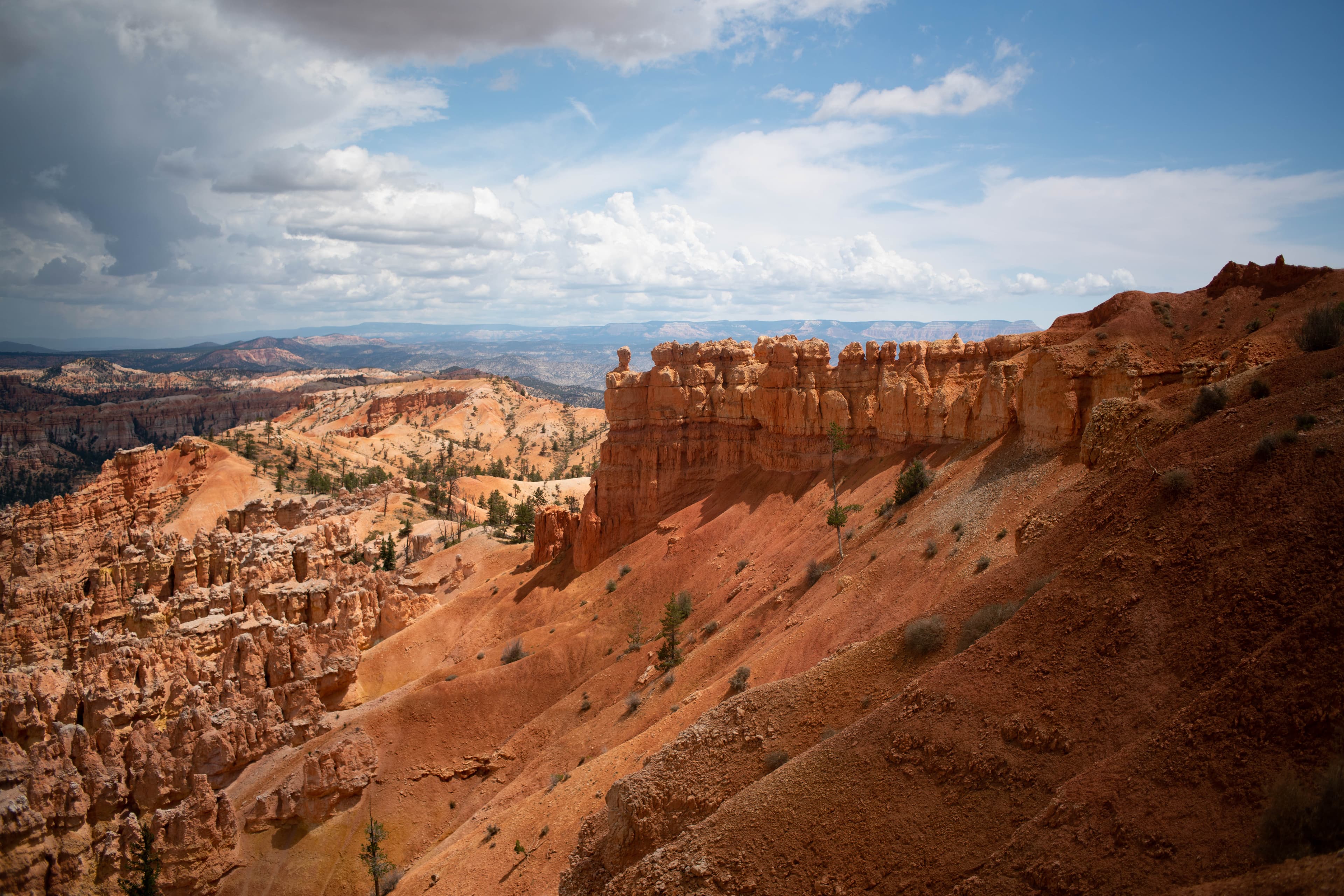
Figure-8 Combination
The Figure-8 Combination combines three amphitheater hikes, Queen's Garden, Navajo Loop, and the Peekaboo Loop, into one ultimate hike! We recommend a clockwise direction descending Queen's Garden, connecting to the Peekaboo Loop (we recommend hiking it in a clockwise direction), and ascending either side of the Navajo Loop (Two Bridges in winter). From there you can complete the trail by hiking back to Sunrise Point along the Rim Trail.
Self-Guided Tours
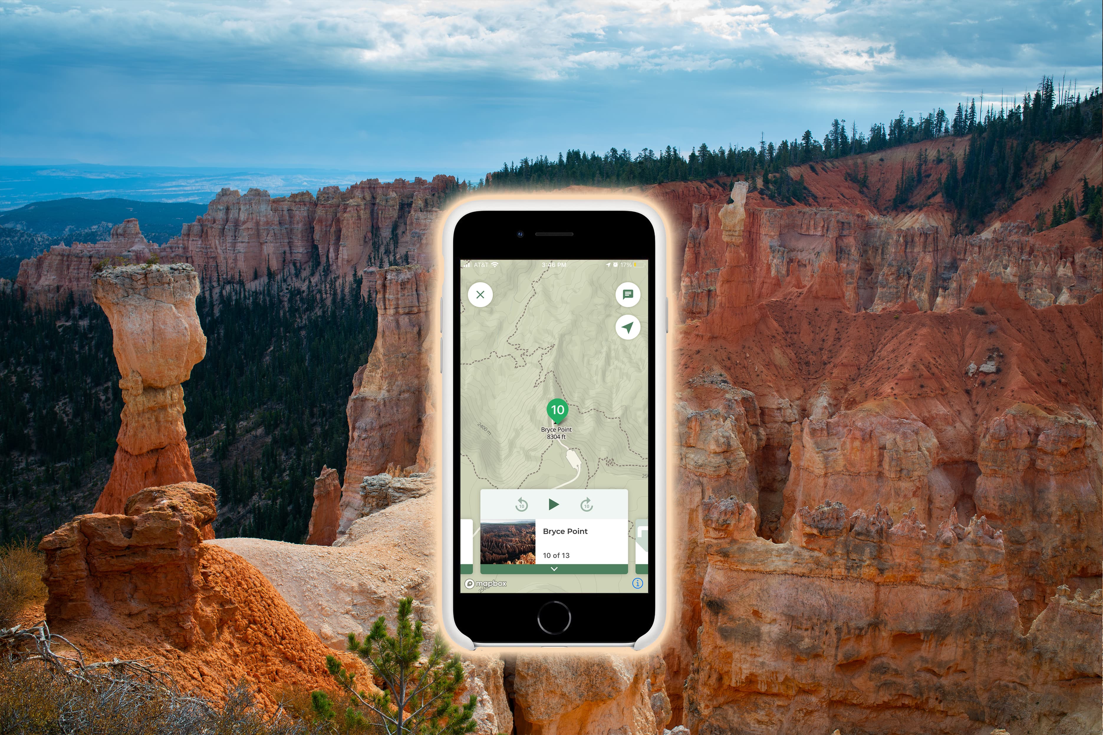
"Must See" Views and an Easy Walk
For visitors with 1-3 Hours who want to see the most popular viewpoints and take an easy walk along the Rim Trail. The first two stops of this tour explain how to use the park shuttle from mid-April to mid-October.
A Driving Tour of the Park
Explore the iconic Bryce Amphitheater and take a drive along the Southern Scenic Drive and on this trip. Note: If you're visiting between mid-April and mid-October, you might consider taking the free shuttle within the Bryce Canyon Amphitheater area. This shuttle can be boarded at the Visitor Center or Shuttle Station with no reservations. The Southern Scenic Drive is not accessible by shuttle.
Visitor Centers
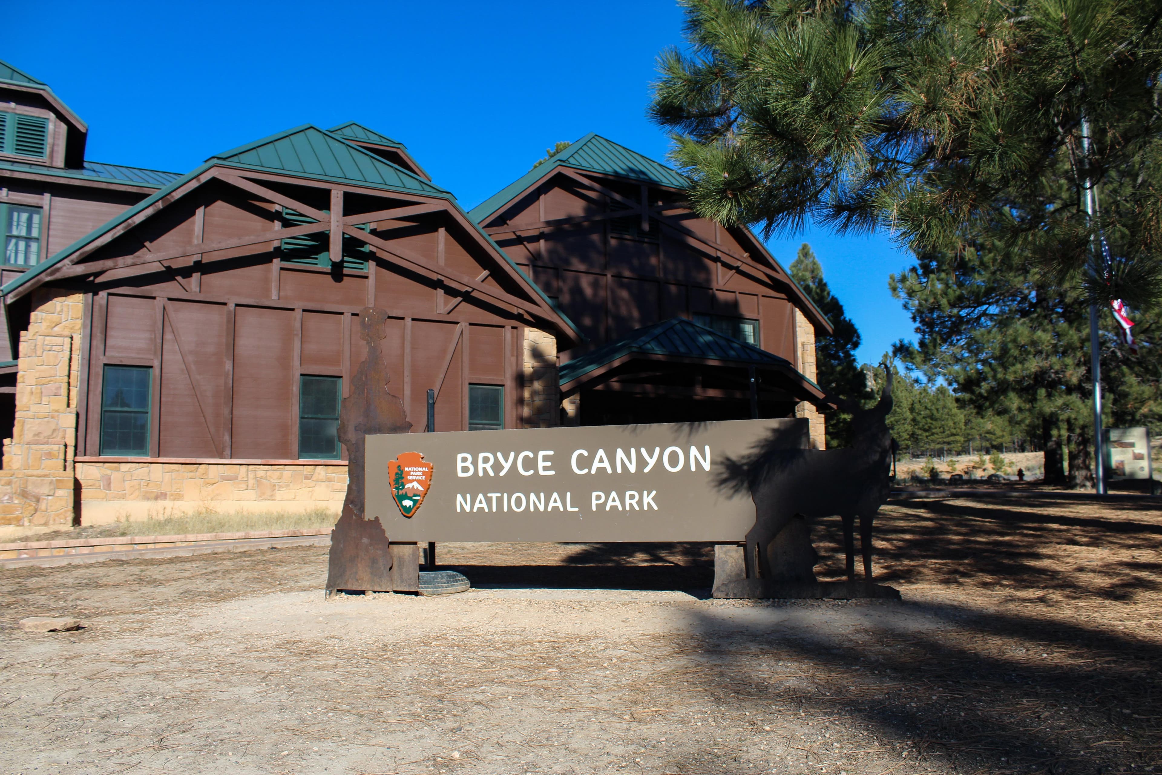
Bryce Canyon Visitor Center
The Bryce Canyon Visitor Center might be one of your first stops when visiting Bryce Canyon National Park. Here you can obtain driving and hiking directions beyond those available on this website, weather forecasts, a current schedule of Park Ranger guided programs, Junior Ranger booklets, and information on area services including lodging, dining and other attractions. Entrance passes cannot be purchased at the visitor center.
Where to Stay
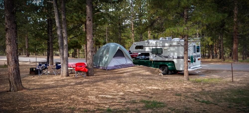
North Campground
Located across the road from the Visitor Center and is comprised of 100 sites in 4 loops; A, B, C, D. Loops A & B are for RV campers. Loops C & D are for tent campers and closed in freezing temperatures. There are no sewer, water or electrical hook-ups available. A dump station is available in summer months near North Campground; use is included with campsite fee. Potable water is available near the dump station. North Campground is close to the Visitor Center, General Store, and Fairyland Loop/Rim Trail.
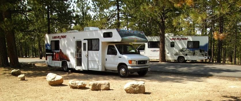
Sunset Campground
Located west of Sunset Point, approximately 1.5 miles south of the Bryce Canyon Visitor Center, and is comprised of 99 sites in 3 loops; Loop A is primarily for RVs; Loops B & C are tent-only. There are no sewer, water or electrical hook-ups available. A dump station is available in summer months near North Campground; use is included with campsite fee. Potable water is available near the dump station. Sunset Campground is close to Sunset Point and has a shuttle stop at its entrance.
Parking & Access
Getting Here
From the North: Take I-15 south to UT-20 (exit 95). Travel east on UT-20 to US-89. Follow US-89 south to UT-12. Travel east on UT-12 to UT-63. Take UT-63 south to Bryce Canyon NP. From the South through Zion National Park: Take I-15 north to UT-9 (exit 16). Follow UT-9 east through Zion National Park to US-89. Travel north on US-89 to UT-12. Go east on UT-12 to UT-63. Take UT-63 south to Bryce Canyon NP. From the East Travel west on UT-12 to UT-63. Take UT-63 south to Bryce Canyon NP.
Official NPS directionsParking Lots
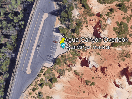
Agua Canyon
Open in Maps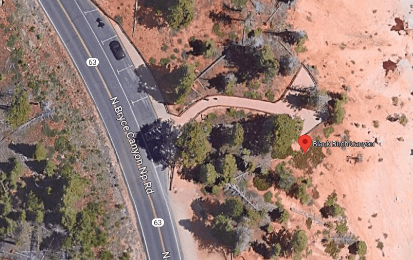
Black Birch Canyon
Open in Maps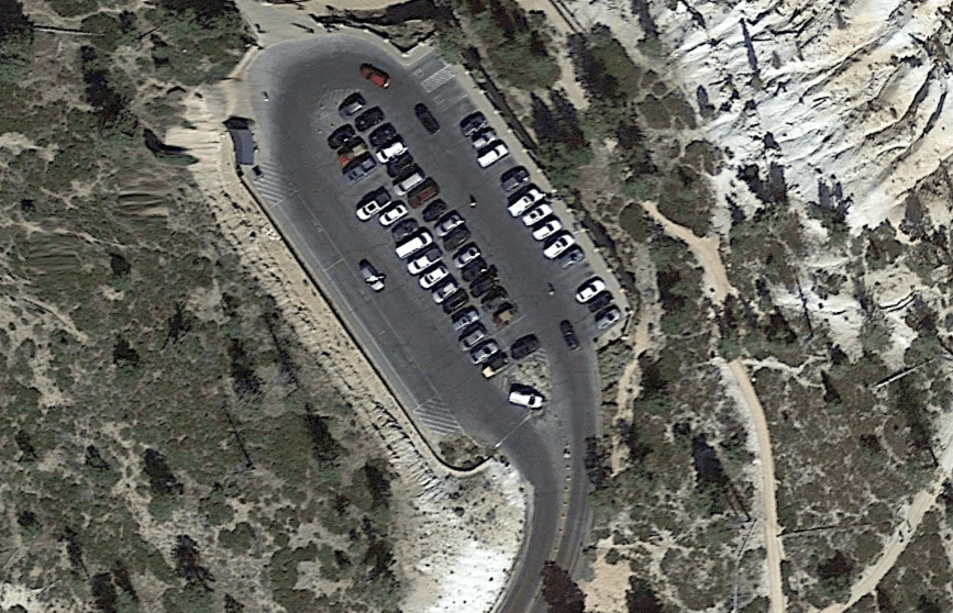
Bryce Point
Open in Maps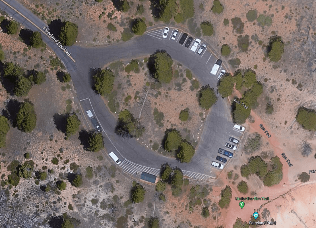
Fairyland Point
Open in Maps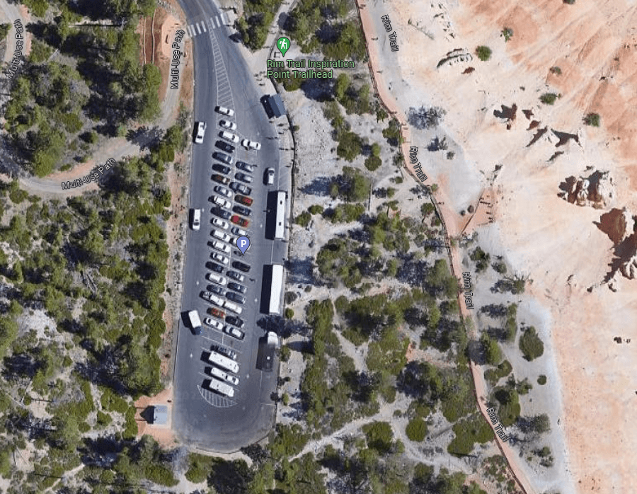
Inspiration Point
Open in Maps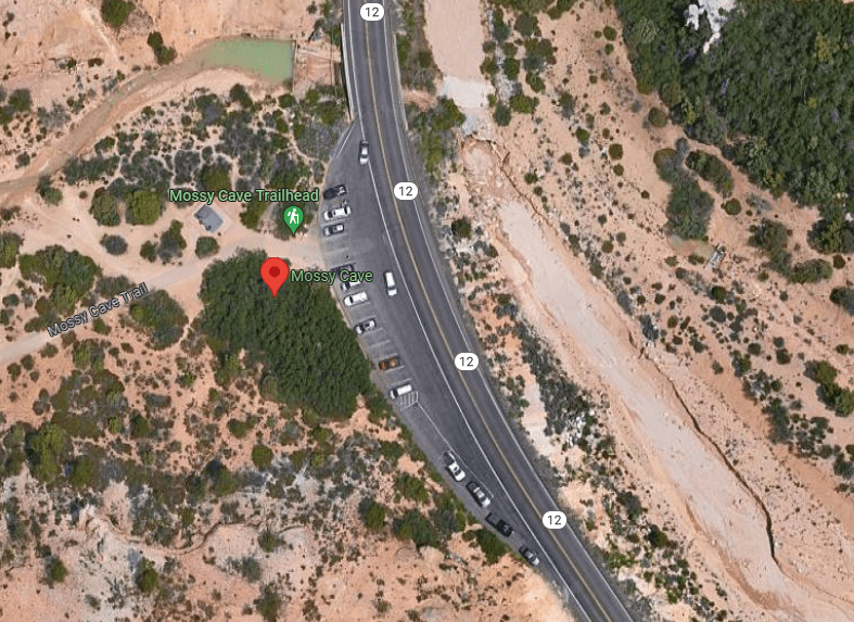
Mossy Cave
Open in Maps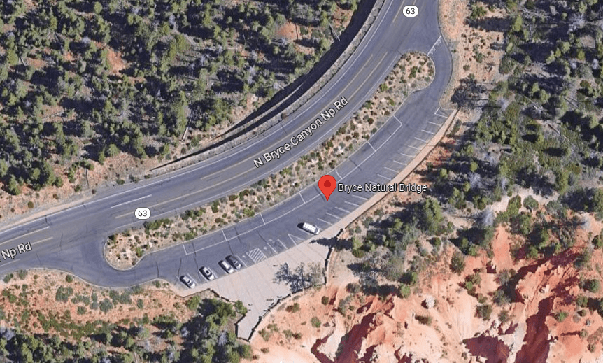
Natural Bridge
Open in Maps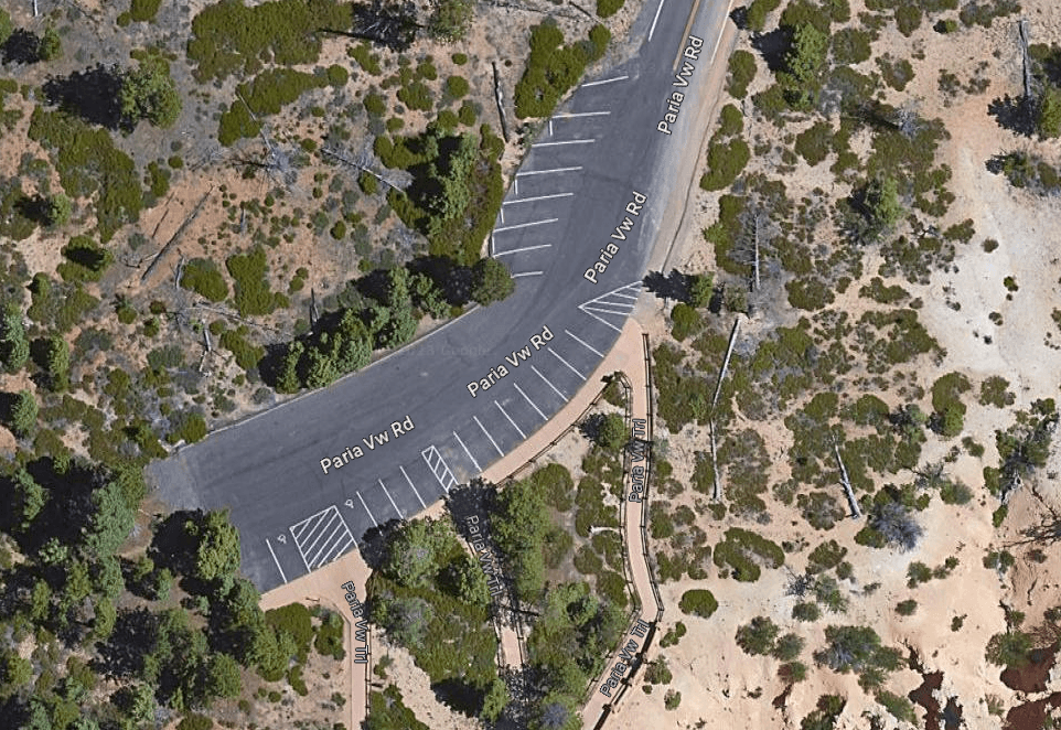
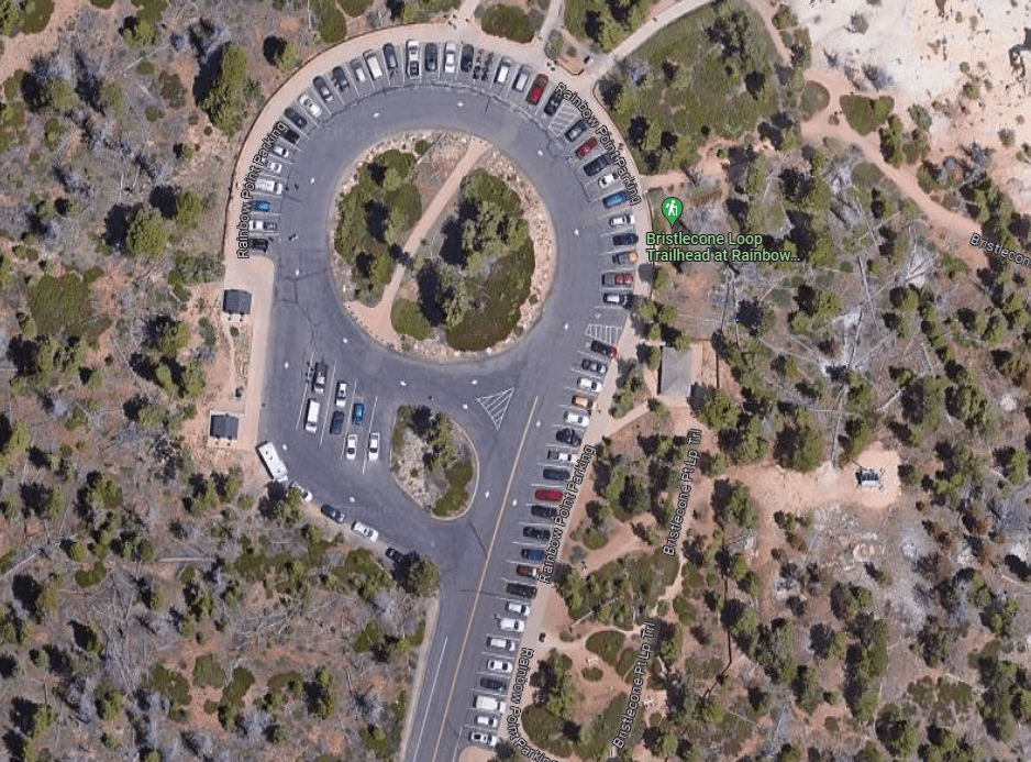
Rainbow Point
Open in Maps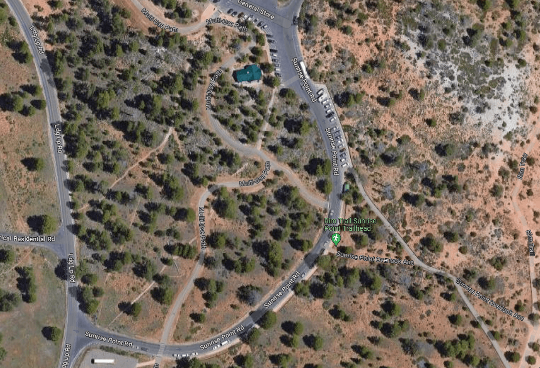
Sunrise Point
The parking lot located nearest to the Sunrise Point viewpoint (year-round) and the General Store (seasonal).
Open in Maps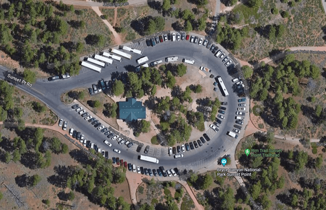
Sunset Point
Open in Maps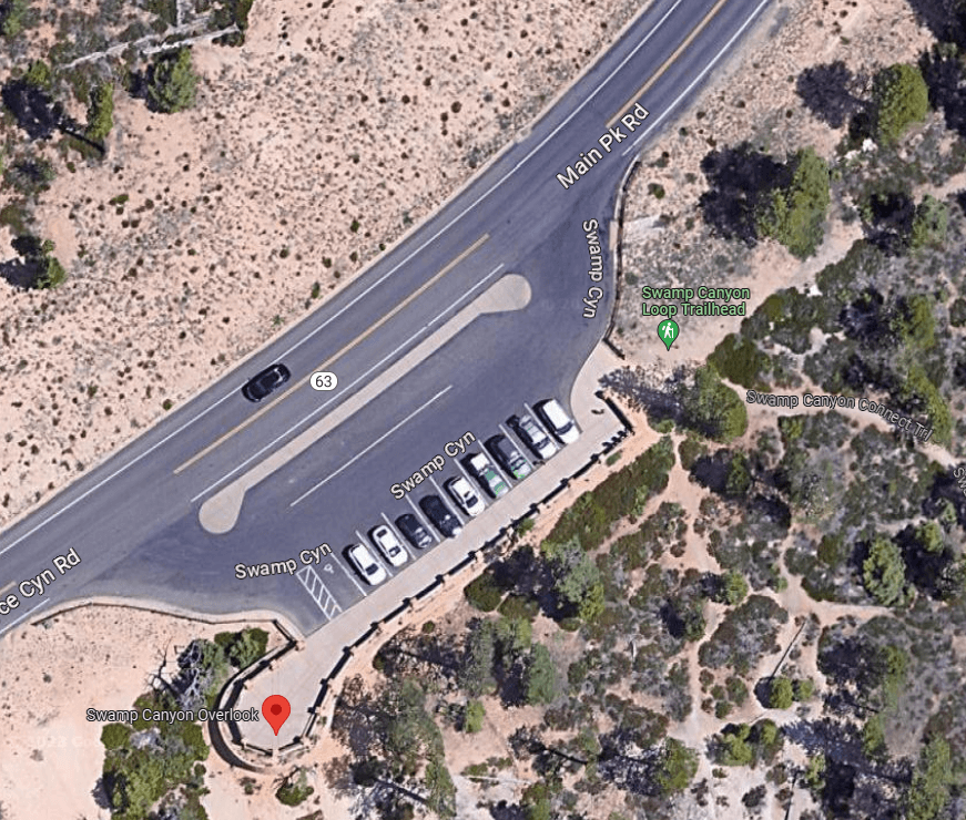
Swamp Canyon
Open in MapsSwamp Canyon
Open in MapsVisitor Center
Open in MapsVisitor Center - Additional Parking Lot
Open in MapsWhiteman Trailhead
Open in MapsGetting Here & Transit
How to Get Here
From the North: Take I-15 south to UT-20 (exit 95). Travel east on UT-20 to US-89. Follow US-89 south to UT-12. Travel east on UT-12 to UT-63. Take UT-63 south to Bryce Canyon NP. From the South through Zion National Park: Take I-15 north to UT-9 (exit 16). Follow UT-9 east through Zion National Park to US-89. Travel north on US-89 to UT-12. Go east on UT-12 to UT-63. Take UT-63 south to Bryce Canyon NP. From the East Travel west on UT-12 to UT-63. Take UT-63 south to Bryce Canyon NP.
Park Amenities
Permits & Reservations
Permits may be required
Some activities in Bryce Canyon National Park — including backcountry camping, certain trails, and climbing routes — require advance permits. Check the official NPS website for current requirements before your visit.
Entrance Fees & Passes
Standard Fees
Entrance - Private Vehicle
$35.00Admits one private, non-commercial vehicle (15 passenger capacity or less) and all occupants.
Entrance - Motorcycle
$30.00Valid for 7 days. Admits up to 2 private, non-commercial motorcycles with up to 4 total passengers.
Entrance - Per Person
$20.00Admits one individual with no car to the park - typically used for bicyclists and walk-ins. Youth 15 and under are admitted free.
Nonresident
$100.00Each non-US resident aged 16 and older visiting Bryce Canyon National Park must pay a $100 nonresident fee (in addition to the standard entrance fee), unless admitted with an Annual or America the Beautiful Pass. This includes nonresidents entering as part of a commercial tour group, commercial use authorization (CUA) group, or concessioner tour group.
Annual & Lifetime Passes
Annual Entrance - Park
$70.00As US citizens and residents, valid for entry into Bryce Canyon National Park for 12 months from purchase date.
Operating Hours
Park is Open 24-7
Bryce Canyon National Park is open 365 days a year, 24 hours a day.
- MondayAll Day
- TuesdayAll Day
- WednesdayAll Day
- ThursdayAll Day
- FridayAll Day
- SaturdayAll Day
- SundayAll Day
Live Webcams
Click any camera to open the live feed on the NPS website.
Photos
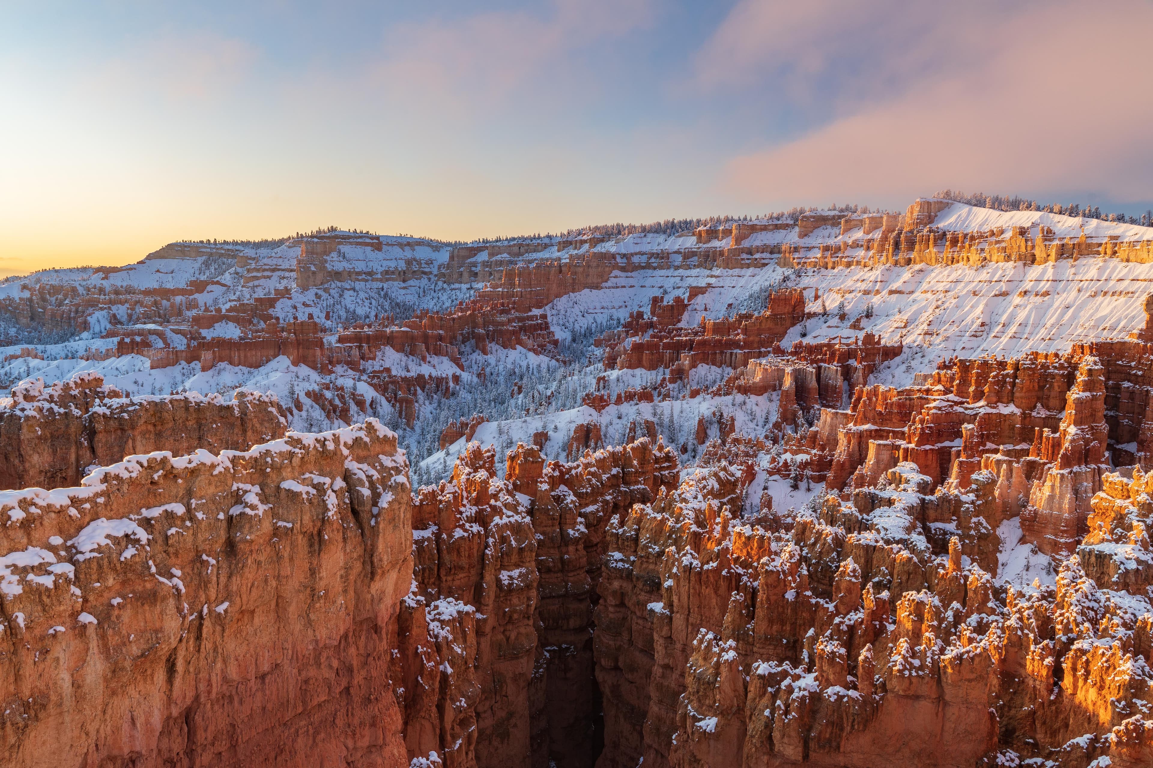
Snow blankets a red rock landscape of tall rock spires beneath an early morning sky
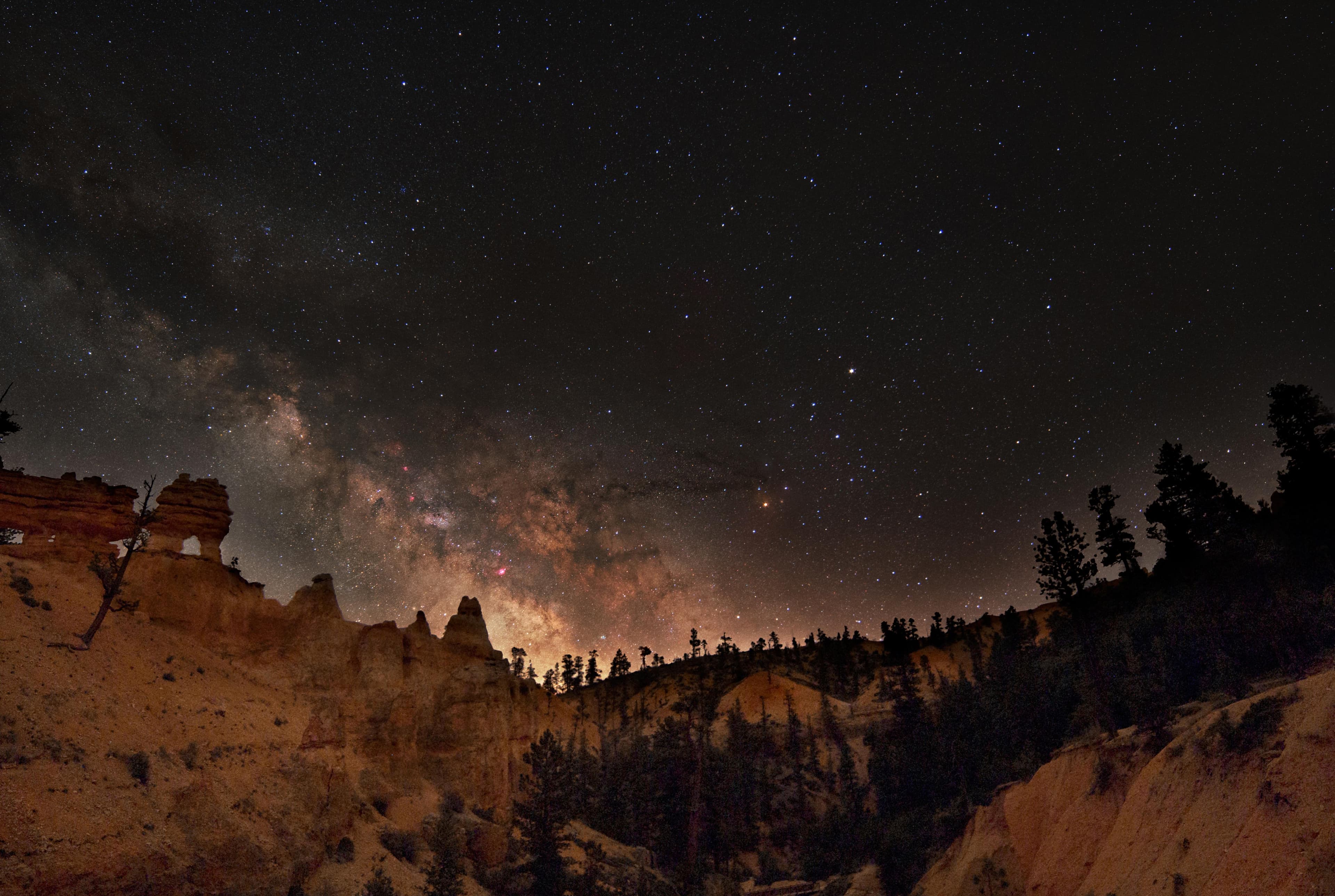
The center of the Milky Way galaxy is seen rising above a horizon of forest and red rock spires
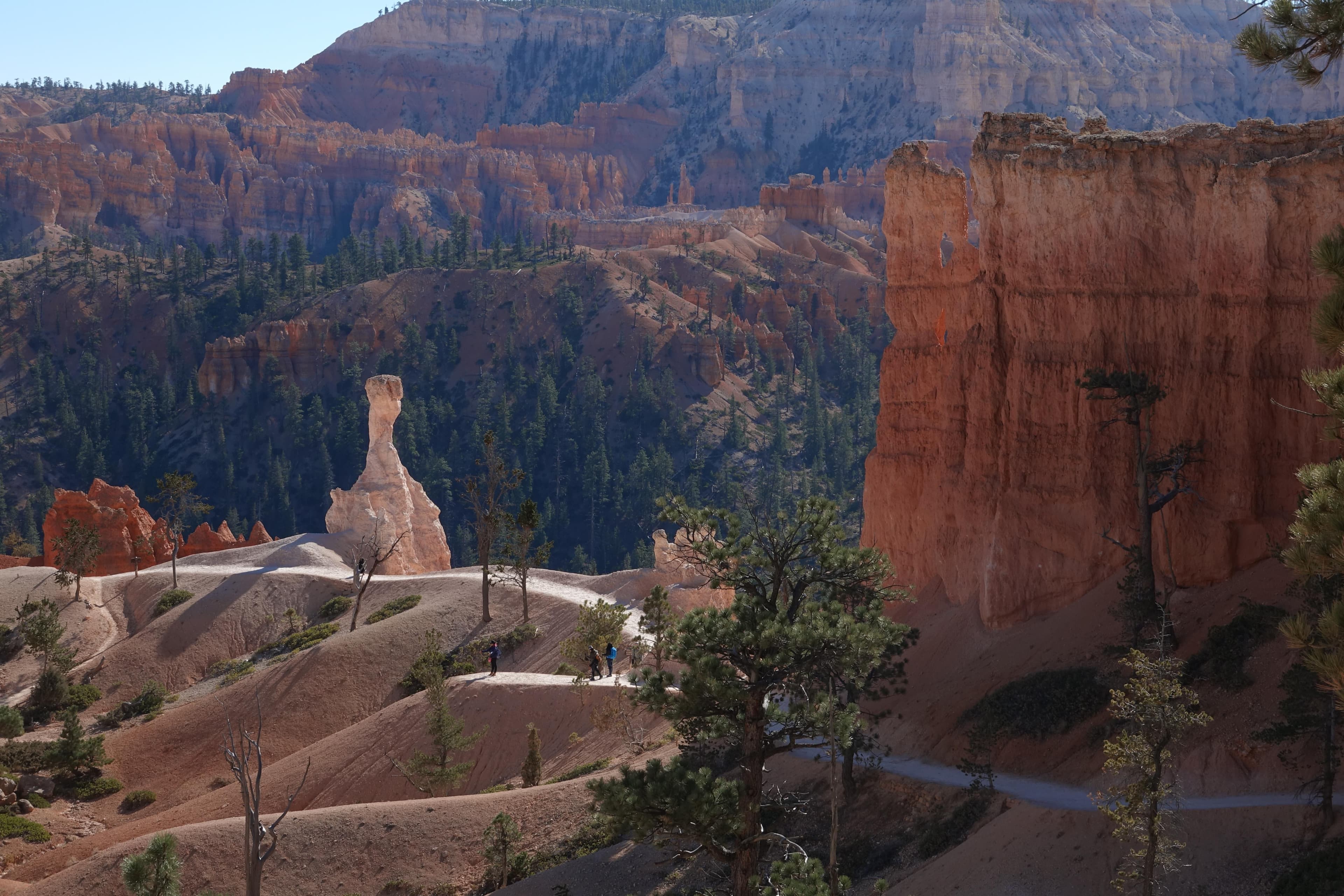
A lone white rock tower stands surrounded by red rock walls and forest along a trail
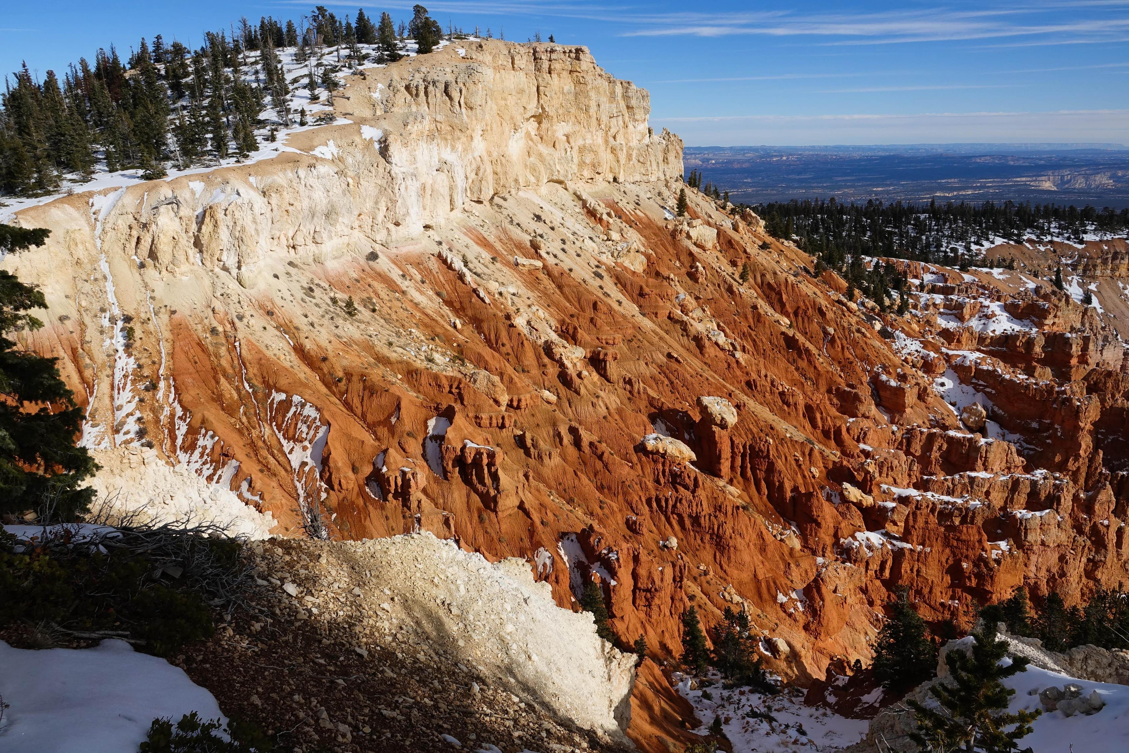
Red and white rock cliffs lightly dusted with snow with a forest atop them and a long view beyond
When to Go
Crowd CalendarPlan your trip around peak seasons to avoid crowds or embrace the energy of the busy months. Our crowd predictions are based on historical NPS Visitor Use Statistics.
Jan
Feb
Mar
Apr
May
Jun
Jul
Aug
Sep
Oct
Nov
Dec
Build your Bryce Canyon itinerary
Tell Miza your dates, pace, and interests—get a day-by-day plan with hikes, drives, and must-see stops.
Best Time
May-September
Trip Length
2-4 days
Searching for the best hotel deals near Bryce Canyon National Park...
Planning Bryce Canyon
These common questions go deeper into logistics and planning. For real-time updates on road closures and current conditions, always check the Alerts section above.