
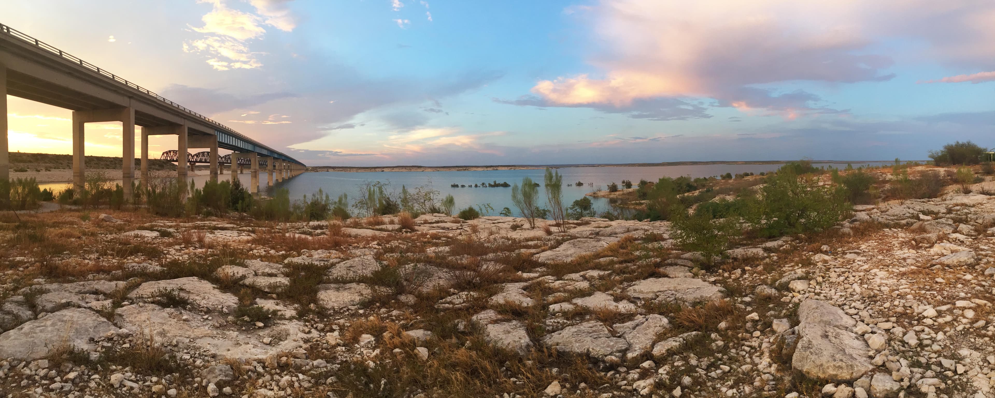
Park Hours (Today)
All Day
Amistad National Recreation Area Visitor Center: 8:00AM - 4:30PM
Miza AI
Plan your Amistad trip
About the Park
An oasis in the desert, Amistad National Recreation Area consists of the US portion of the International Amistad Reservoir. Amistad, a Spanish word meaning "friendship," is known for excellent water-based recreation, camping, hiking, and rich cultural history dating back nearly 5,000 years. Amistad is also home to a wide variety of plant and animal life both above and below the water.

Ready to explore Amistad National Recreation Area?
Take the stress out of planning. Our AI will automatically sequence your stops, find the best hotels, and optimize your driving time in seconds.
What to See & Do
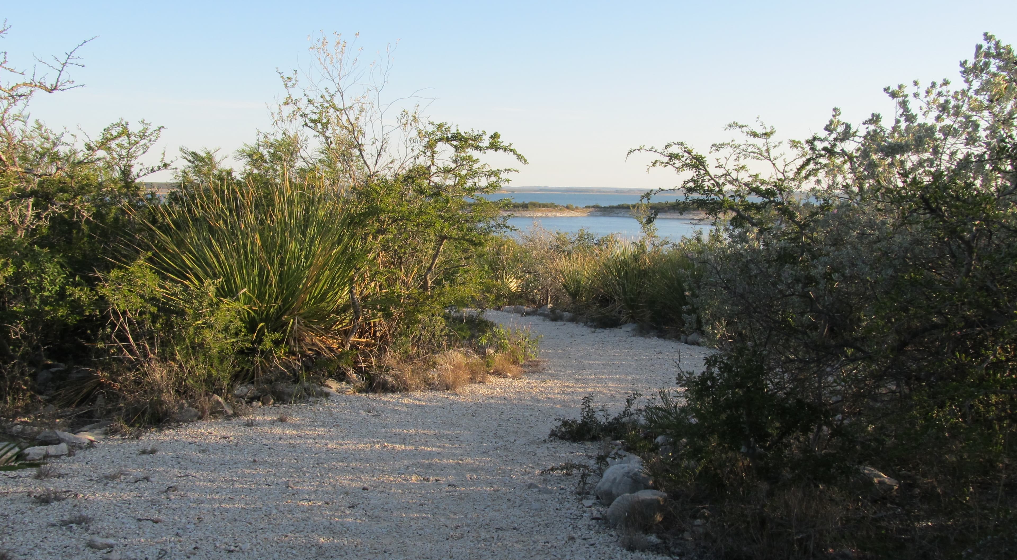
Hike the Diablo East Nature Trail
Hiking at Amistad - Diablo East Nature Trail
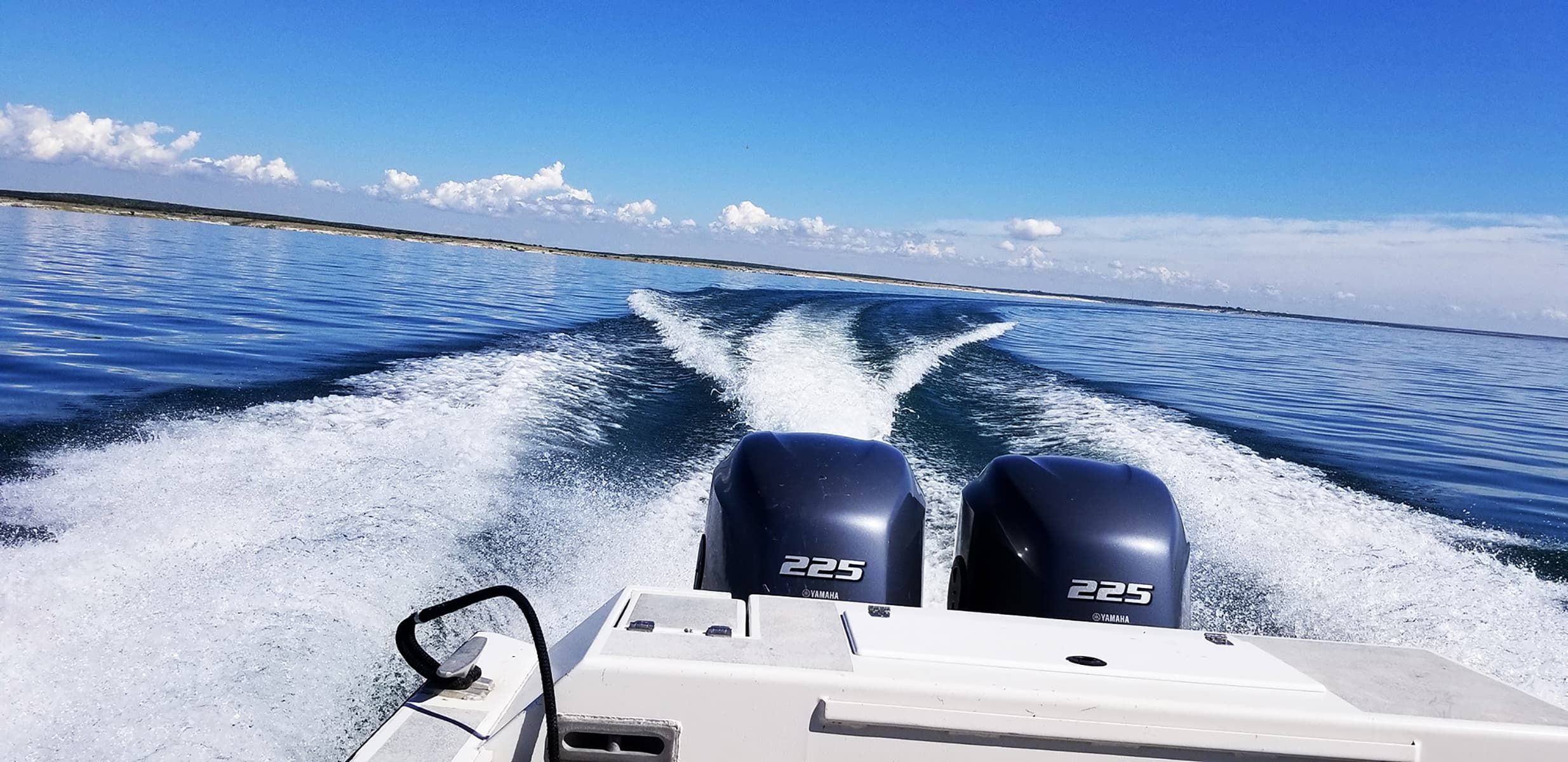
Boating at Amistad
Boating at Amistad National Recreation Area
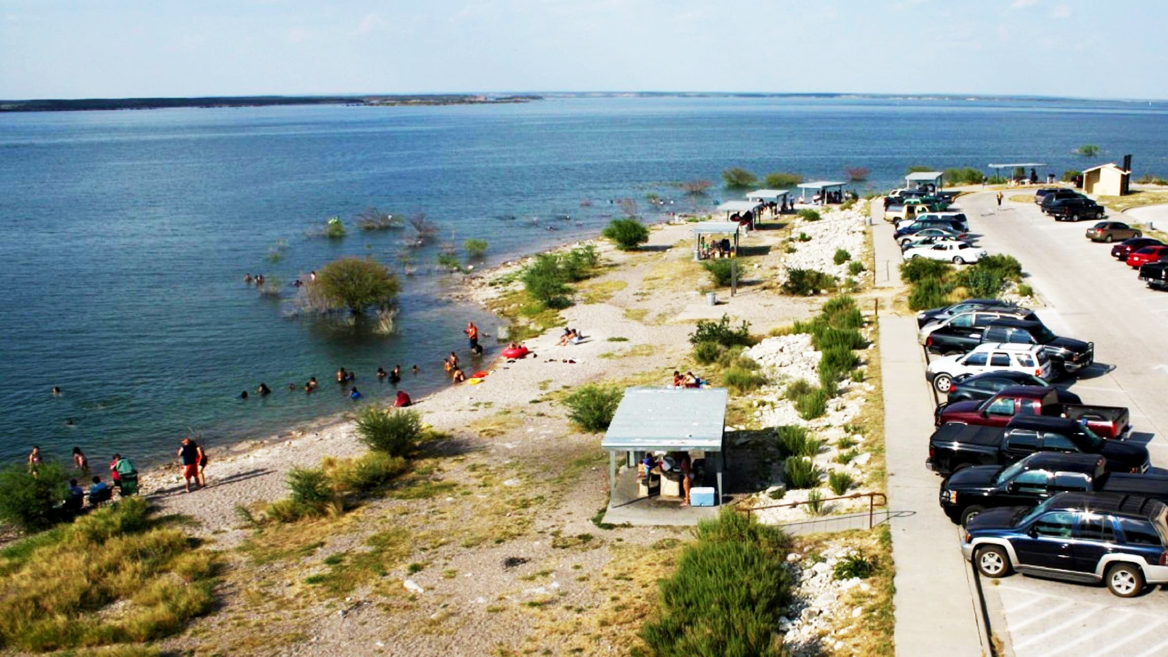
Swimming at Amistad
Swimming and playing in the water at Governors Landing, and throughout the park, is popular during Amistad National Recreation Area's hot summers. Swimming is allowed throughout the park except at mooring locations, designated fishing locations, and boat ramps.
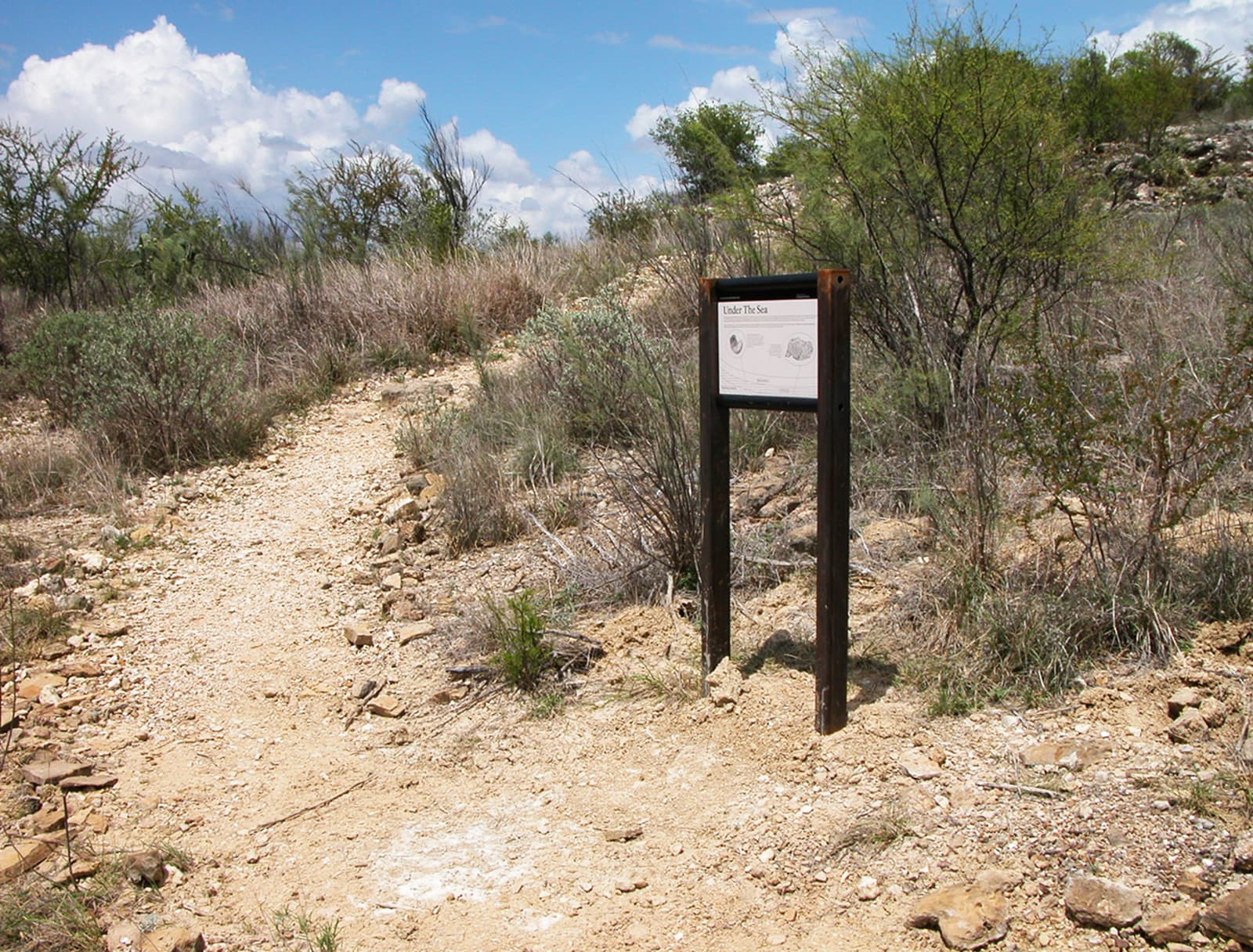
Hiking at Amistad
These trails at Amistad National Recreation Area will provide opportunities for wildlife watching, lake views, and quiet reflection.
Visitor Centers
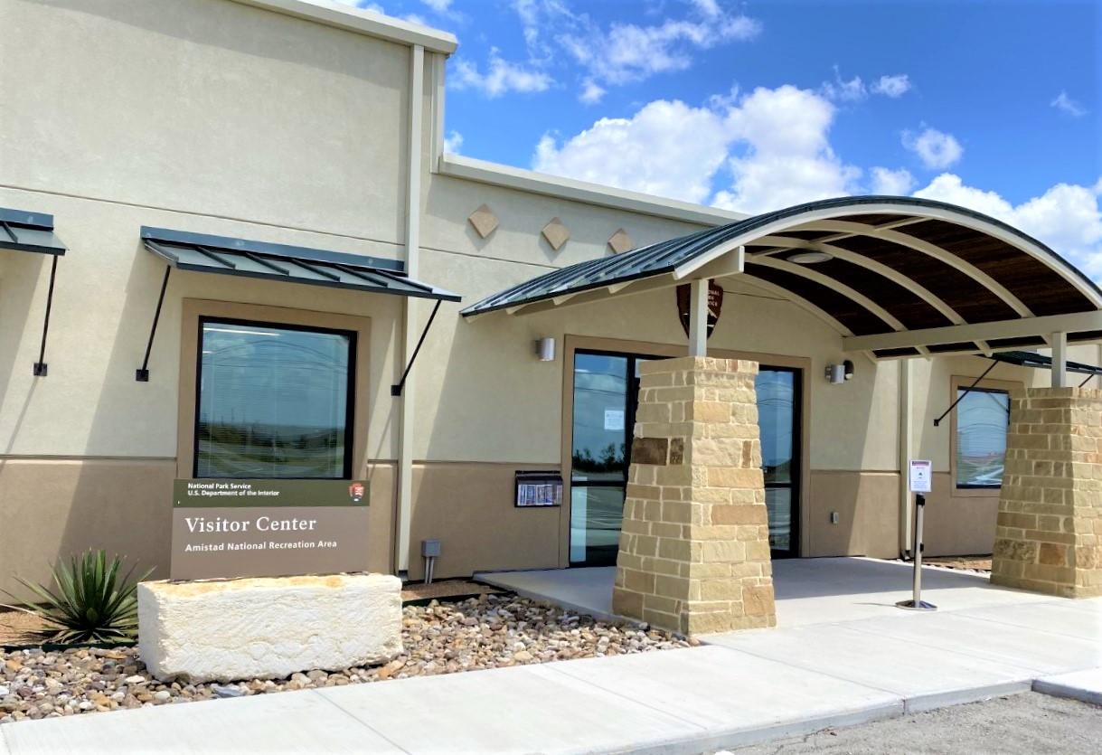
Amistad National Recreation Area Visitor Center
The Visitor Center offers several park-related movies. _Transparent Border_ is the park's official movie about how the reservoir came to influence a relationship between the US city of Del Rio and Mexico's Ciudad Acuña. It is available in English and español and is 35 minutes long. The Visitor Center takes credit or debit card only and sells America the Beautiful National Park and Federal Lands passes, lake use passes, Amistad hunting permits, and camping permits. There is also a bookstore with souvenirs.
Where to Stay
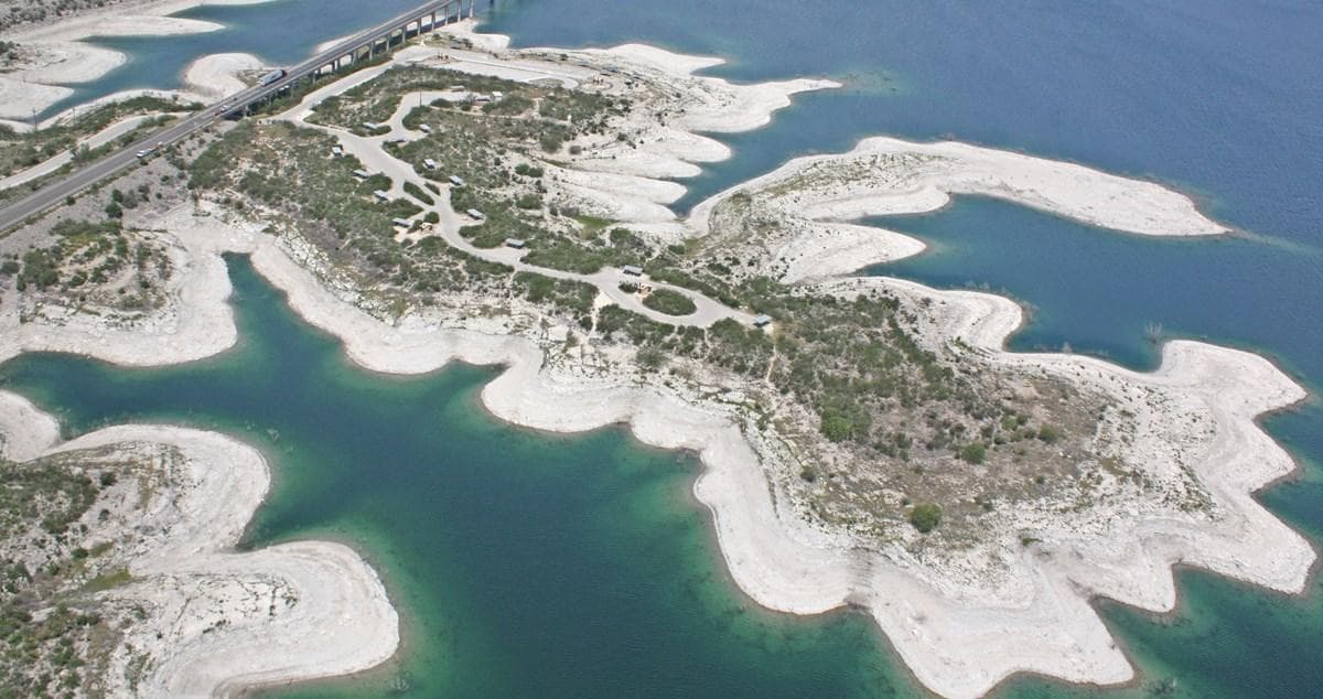
Governors Landing Campground
Governors Landing Campground is open year-round and rarely fills up, except possibly on holiday weekends. It is suitable for tents and RVs up to 28 feet in length. Governors Landing is the only campground in the park with potable water available, though there are no hookups. This campground has access to some of the most popular swimming areas in the park. Picnicking at vacant sites in Governors Landing Campground is allowed 7am to 3pm. Occupying sites outside these times requires payment of camping fees.
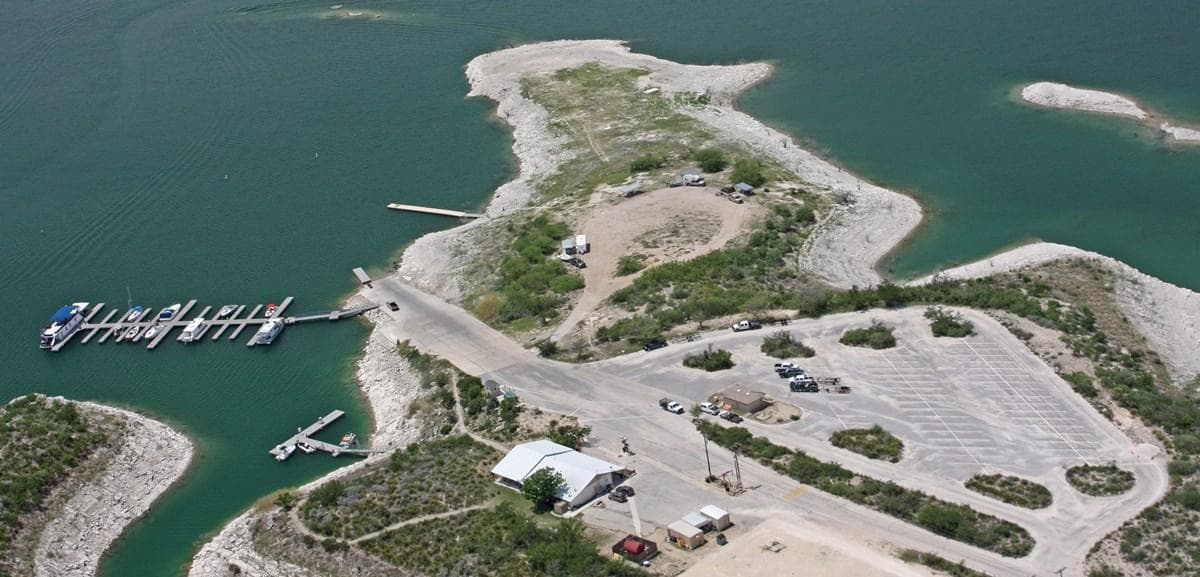
Rough Canyon Campground
Rough Canyon Campground is generally open year-round and is in close proximity to a boat ramp. There may be a camp host on duty in the winter, and a Ranger Station is staffed intermittently. This campground offers 4 primitive sites, each with a covered picnic table and a BBQ grill. The sites are suitable for tents or RVs. No drinking water or hookups are available. Comfort station and running water available nearby at the Ranger Station.
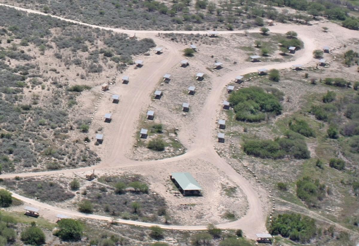
San Pedro Campground
San Pedro Campground is open year-round and rarely fills to capacity. Of Amistad's campgrounds, it is the best suited for large RVs. This campground is accessed via a 1¼ mile graded, gravel road and offers 34 sites suitable for tents or RVs. There are also 8 walk-in (tent only) sites. Each site has a covered picnic table and a BBQ grill. Ground fires are prohibited. Vault toilets are available. No drinking water or hook-ups.
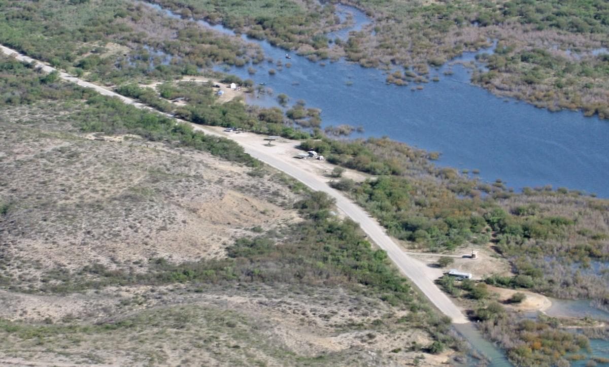
Spur 406 Campground
Spur 406 Campground is generally open year-round and rarely fills up, except possibly on holiday weekends. It may close on occasion due to high water events. A boat launch ramp off the campground may be available depending on lake levels. This campground offers 6 primitive sites, each with a covered picnic table and a BBQ grill. No ground fires are allowed. The sites are suitable for tents or RVs. Vault toilets are available. No drinking water or hookups are available.
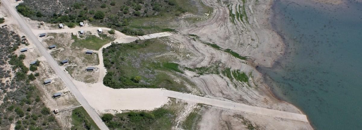
277 North Campground
277 North Campground is generally open year-round and rarely fills up. A boat launch ramp off the campground may be available depending on lake levels. 277 North offers 17 primitive sites, which are first-come, first-served only. Each site has a covered picnic table and a BBQ grill. A group site is available with reservation only. No ground fires are allowed. The sites are suitable for tents or RVs. Vault toilets are available. No drinking water or hookups are available.
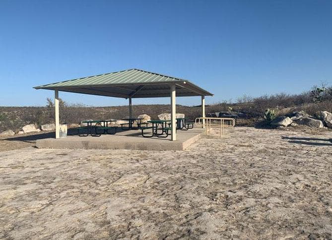
Rock Quarry Group Campsite
Rock Quarry Group Campsite is open year-round and is a limited development campsite. It offers a private space for a group of up to 35 people. Amenities include a pavilion-covered picnic area with tables and an accessibility ramp, a grill, trash receptacle, vault toilet, and a campfire ring. By reservation only, no less than three days in advance.
Parking & Access
Getting Here
Amistad National Recreation Area is located on the US-Mexico border 7 miles west of the Del Rio city limit and 6 miles west of the US Highway 90 and 277 North intersection. The park is 160 miles west of San Antonio on US Highway 90 and about 230 miles east of Big Bend National Park via US Highway 90 and US Highway 385. Access to Amistad from the north or south is via US 277/377. The visitor center address is 10477 Highway 90 West, Del Rio, TX 78840.
Official NPS directionsParking Lots
Black Brush Point Parking
Paved parking lot with 24 standard parking spaces and two suitable for large vehicles or vehicles towing trailers. Adjacent to 5 picnic tables shaded by tin-roofed ramadas. Has both a high-water level and a low-water level ramp; however, location may be closed when lake level is less than 1083 feet above mean sea level (amsl).
Open in MapsDiablo East Main Parking
Paved parking lot will accommodate 14 standard vehicles and 46 oversized vehicles / those towing trailers. There are 2 designated disabled parking spaces that will accommodate vans. It is immediately adjacent to Ranger Station, several steel-roofed ramadas shading picnic tables, and accessible restrooms. It is near hiking trails and boat ramps, and an RV dump station (can be used with proof of in-park camping) and fish cleaning station are en route to this area. It is the most popular location for boating a
Open in MapsDiablo East Marina Parking
While the marina no longer exists, the expansive, paved parking lot still does and is the most popular area for fishing tournaments. It will accommodate 20 large vehicles / those towing trailers and 48 standard vehicles. Two spaces are designated disabled parking. This lot is immediately adjacent to the fish return tube and a restroom facility, and is near hiking trails, a boat ramp, and a Ranger Station. En route, are an RV dump station (can be used with proof of in-park camping) and fish cleaning station.
Open in Maps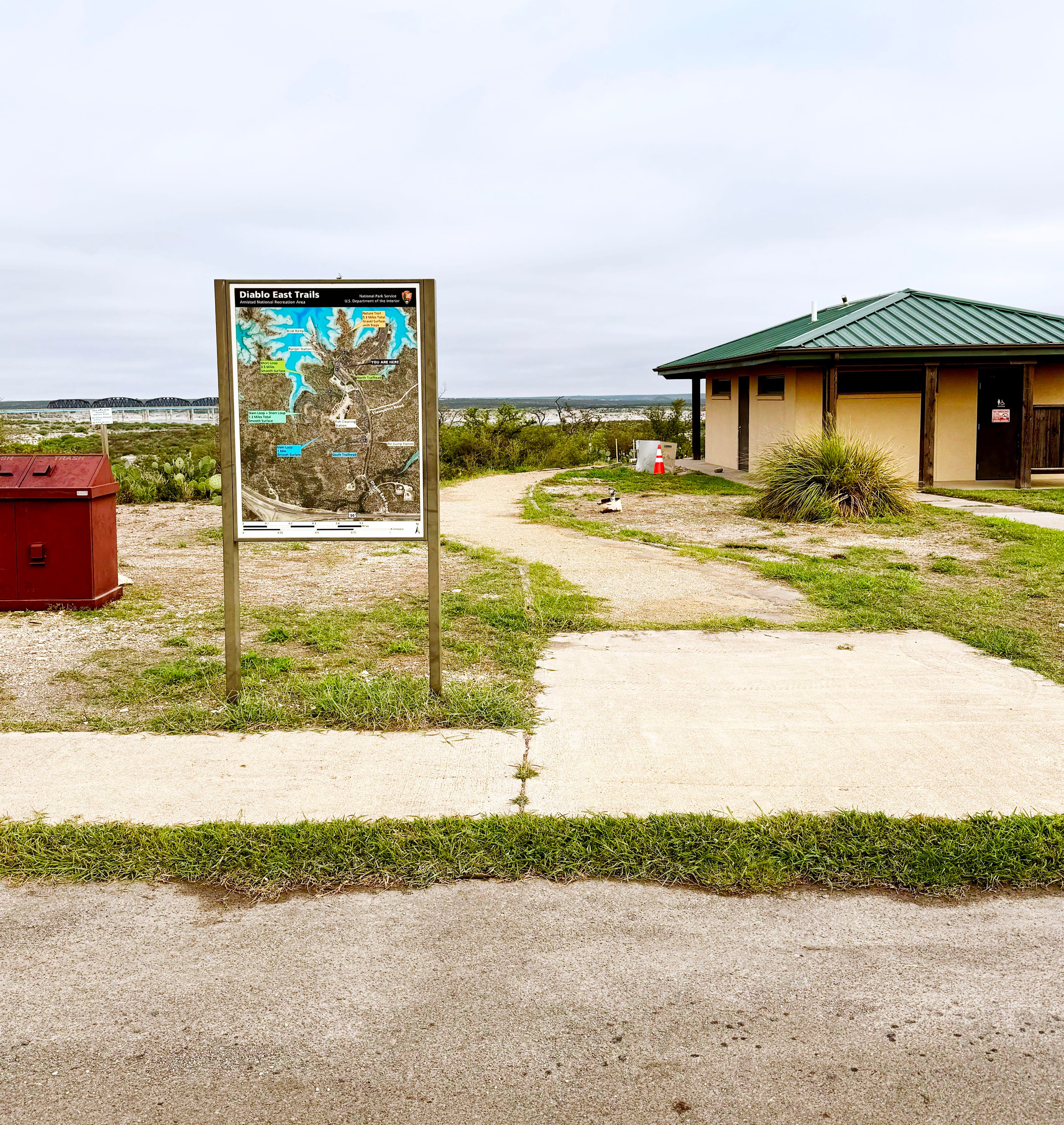
Diablo East Trailhead Parking (North Lot)
Paved overflow parking for 44 oversized vehicles / with trailer. Located near trailheads, boat ramp, Ranger Station, and comfort station.
Open in MapsDiablo East Trailhead Parking (South Lot)
Limited parking on gravel/dirt parking area with paved parking areas close to location.
Open in MapsGovernors Landing Day Use Area Parking
Large, paved parking lot will accommodate large vehicles and those towing trailers, as well as the standard family cars and vans.
Open in MapsPecos Day Use Parking
Large, paved parking lot with one designated disabled accessible parking space suitable for a van, 8 standard vehicle spaces, and 32 pull-through spaces suitable for oversized vehicles or those towing a trailer. Multiple picnic tables shaded by large tin-roofed ramadas with grills are adjacent to the lot as is a fish cleaning station and Pecos Nature Trail. Not far from the comfort station/restrooms. Potable water available.
Open in MapsPecos River Boat Launch Parking
Paved parking lot will accommodate large vehicles and those towing trailers, as well as the standard family cars and vans.
Open in MapsRough Canyon Comfort Station Parking
Paved parking lot will accommodate large vehicles and those towing trailers, as well as the standard family cars and vans.
Open in MapsRough Canyon Fish Cleaning Station Parking
Paved parking lot will accommodate large vehicles and those towing trailers, as well as the standard family cars and vans.
Open in MapsSan Pedro Campground Parking
Very limited dirt parking area at end of campground for walk-in (tent) sites and trail. There are restrooms and fee kiosk where camping permits can be purchased with credit or debit card near this area in the main campground. Not suitable for oversized vehicles or vehicles + trailers.
Open in MapsSunrise Trail Parking
Limited, paved parking for Sunrise Trail. Property owners are allowing the three spaces nearest Highway 90 to be used for this purpose. Suitable for standard vehicles.
Open in MapsVisitor Center Parking
Located immediately off U.S. Highway 90 (look for the visitor center and flagpole), this paved parking lot will accommodate large vehicles and those towing trailers, as well as the standard family cars and vans.
Open in MapsGetting Here & Transit
How to Get Here
Amistad National Recreation Area is located on the US-Mexico border 7 miles west of the Del Rio city limit and 6 miles west of the US Highway 90 and 277 North intersection. The park is 160 miles west of San Antonio on US Highway 90 and about 230 miles east of Big Bend National Park via US Highway 90 and US Highway 385. Access to Amistad from the north or south is via US 277/377. The visitor center address is 10477 Highway 90 West, Del Rio, TX 78840.
Park Amenities
Operating Hours
Amistad National Recreation Area
Amistad National Recreation Area is open throughout the year. However, some areas may experience temporary closures because of low water levels. Please see our Operation Hours and Seasons and Current Conditions pages for more specific details.
- MondayAll Day
- TuesdayAll Day
- WednesdayAll Day
- ThursdayAll Day
- FridayAll Day
- SaturdayAll Day
- SundayAll Day
Live Webcams
Click any camera to open the live feed on the NPS website.
Diablo East Rampa de Barco - Amistad National Recreation Area
Imagen de la cámara web de Amistad al Diablo East rampa del barco.
Current Conditions: Diablo East Boat Ramp - Amistad National Recreation Area
Current image of Diablo East boat ramp, which is one of the busiest ramps in Amistad National Recreation Area and a favorite location for tournaments.
Boating: Diablo East Boat Ramp - Amistad National Recreation Area
Current image of Diablo East boat ramp, which is one of the busiest ramps in Amistad National Recreation Area and a favorite location for tournaments.
Webcam: Diablo East Boat Ramp - Amistad National Recreation Area
Current image of Diablo East boat ramp, which is one of the busiest ramps in Amistad National Recreation Area and a favorite location for tournaments.
Diablo East Boat Ramp - Amistad National Recreation Area
Image of Diablo East boat ramp, which is one of the busiest ramps in Amistad National Recreation Area and a favorite location for tournaments.
Photos
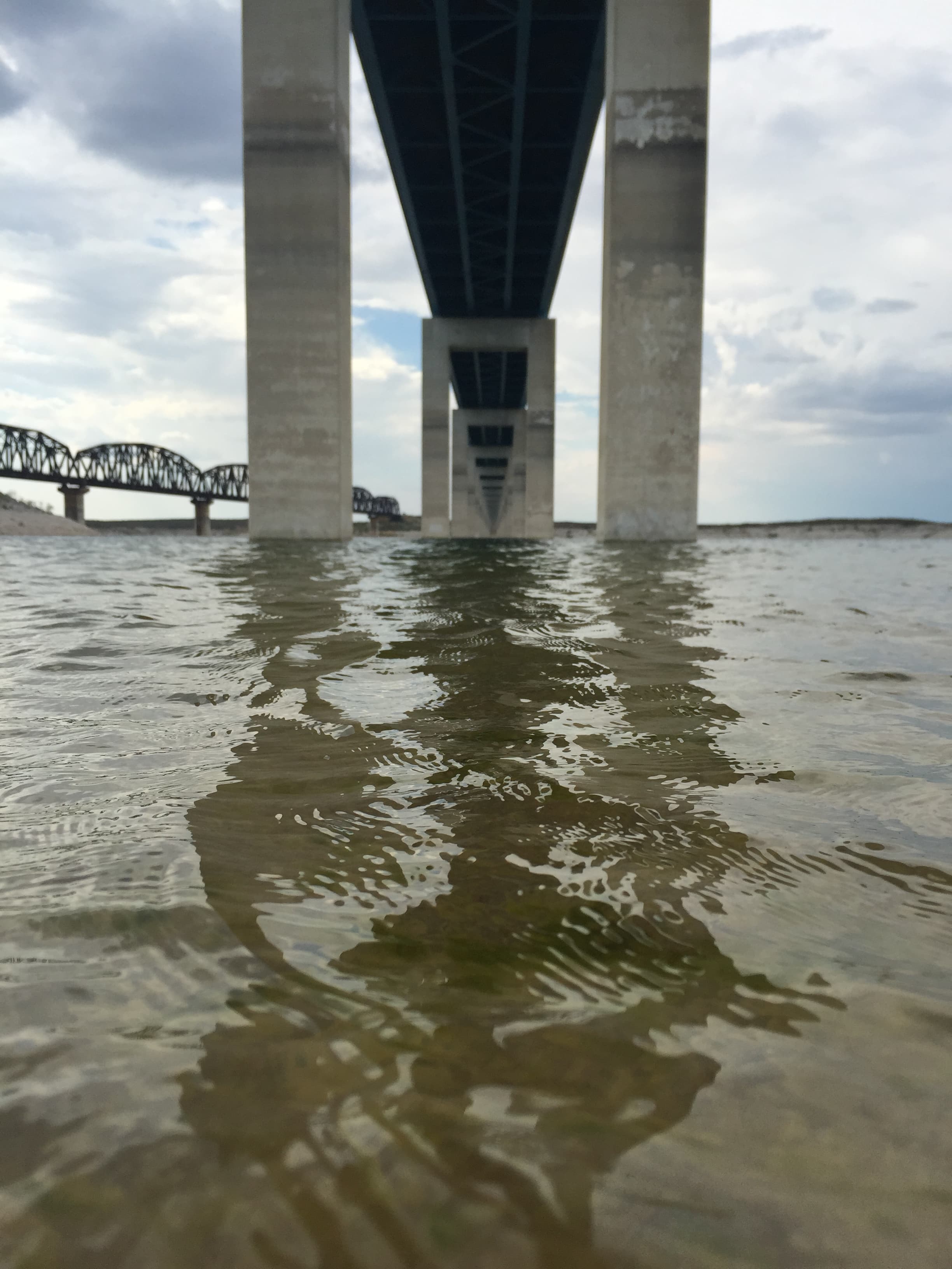
Taken from a boat on the water, the image shows the underbelly of a bridge and the supports.
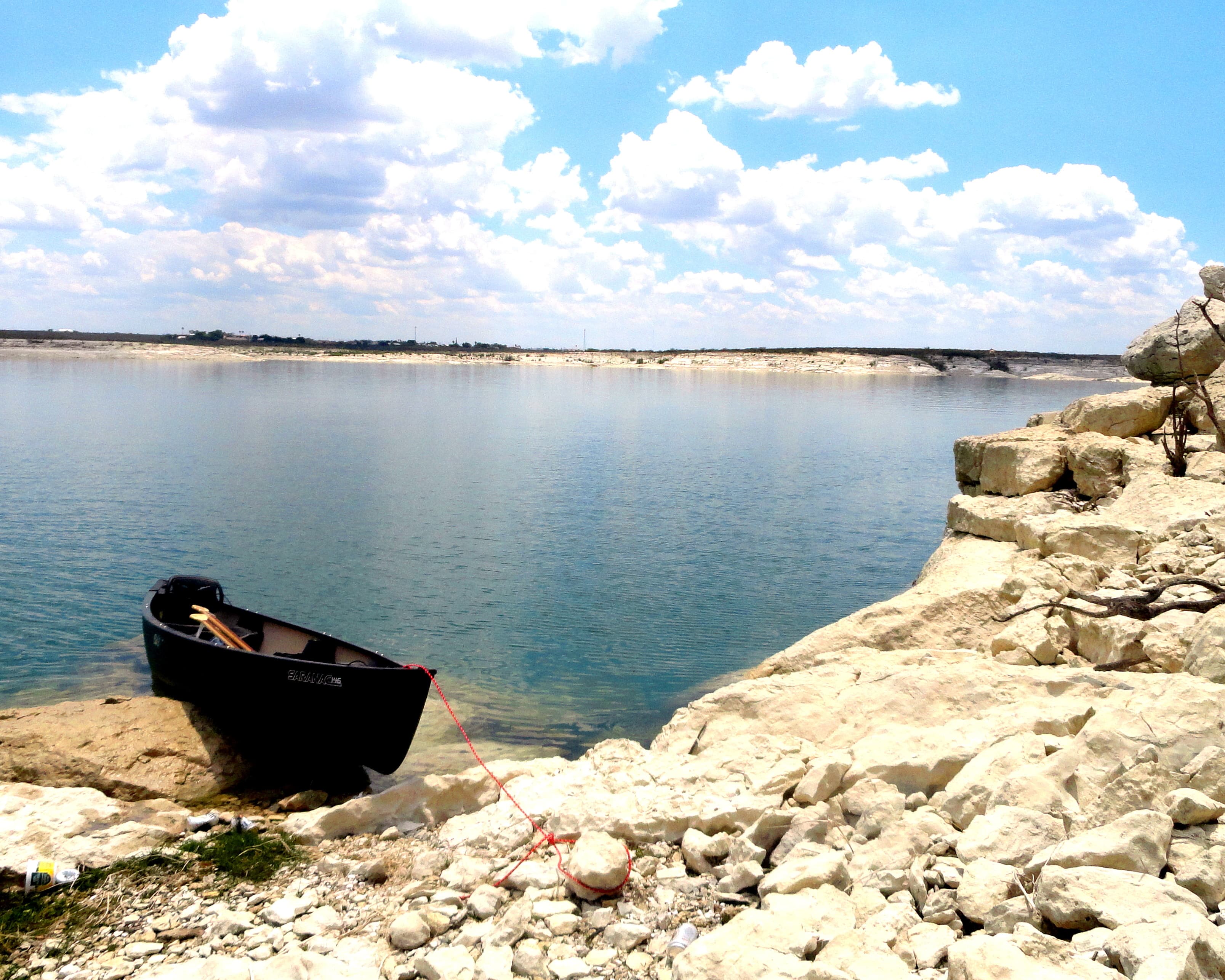
A view of the peaceful shoreline along Amistad National Recreation Area
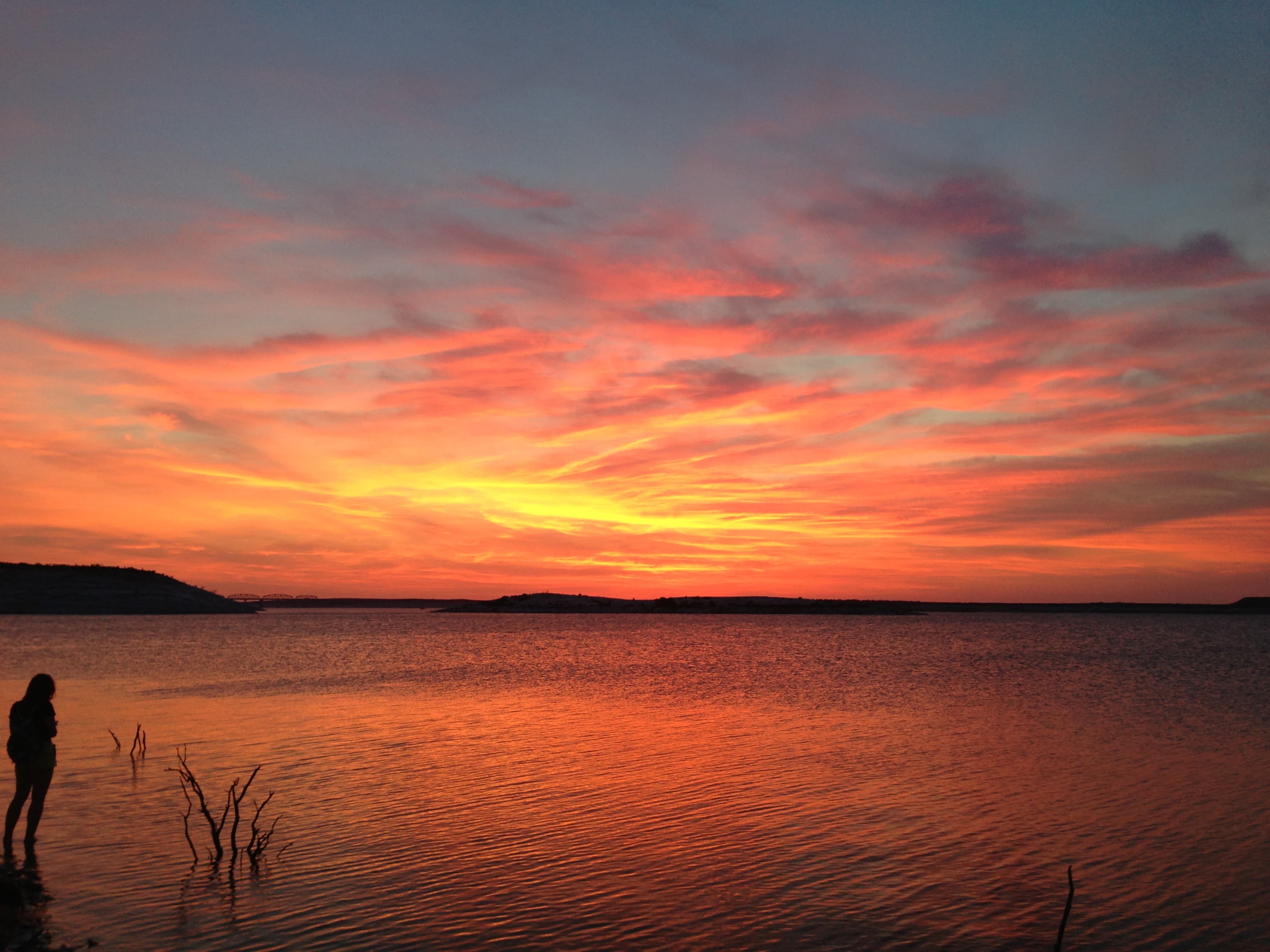
Firey Sunset over Lake Amistad.
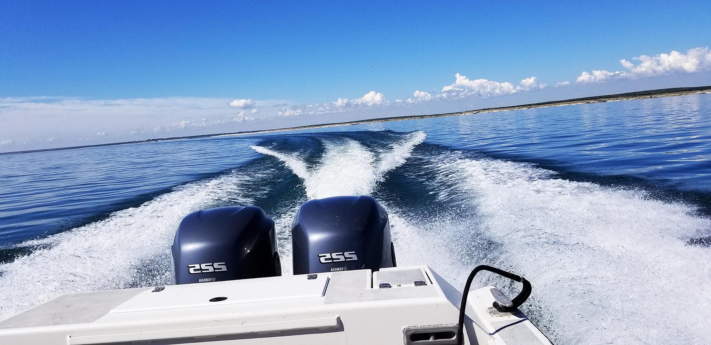
Looking out the stern of a dual engine motorboat banking starboard with large wakes following.
When to Go
Crowd CalendarPlan your trip around peak seasons to avoid crowds or embrace the energy of the busy months. Our crowd predictions are based on historical NPS Visitor Use Statistics.
Jan
Feb
Mar
Apr
May
Jun
Jul
Aug
Sep
Oct
Nov
Dec
Build your Amistad itinerary
Tell Miza your dates, pace, and interests—get a day-by-day plan with hikes, drives, and must-see stops.
Best Time
Year-round
Trip Length
1 day
Searching for the best hotel deals near Amistad National Recreation Area...
Planning Amistad National Recreation Area
These common questions go deeper into logistics and planning. For real-time updates on road closures and current conditions, always check the Alerts section above.